

The best hiking routes in Luxembourg
Discover the best walks in Luxembourg. 494 routes on the map, with descriptions, photos and GPX.
About Luxembourg
The Belgian province of Luxembourg divides into distinct geological zones that dictate your walking experience. In the north, Parc naturel des deux Ourthes offers steep, deep-cut river valleys where paths climb sharply through dense spruce plantations and oak woods. In contrast, the southern Parc naturel de Gaume presents a softer landscape of cuestas, which are asymmetric limestone ridges with gentle northern slopes and steep southern drops. Here, the underfoot is sandier, and the vegetation shifts to beech forests and open farmland, reflecting a milder microclimate.
Read more
About Luxembourg
The Belgian province of Luxembourg divides into distinct geological zones that dictate your walking experience. In the north, Parc naturel des deux Ourthes offers steep, deep-cut river valleys where paths climb sharply through dense spruce plantations and oak woods. In contrast, the southern Parc naturel de Gaume presents a softer landscape of cuestas, which are asymmetric limestone ridges with gentle northern slopes and steep southern drops. Here, the underfoot is sandier, and the vegetation shifts to beech forests and open farmland, reflecting a milder microclimate.
Read moreThe Belgian province of Luxembourg divides into distinct geological zones that dictate your walking experience. In the north, Parc naturel des deux Ourthes offers steep, deep-cut river valleys where paths climb sharply through dense spruce plantations and oak woods. In contrast, the southern Parc naturel de Gaume presents a softer landscape of cuestas, which are asymmetric limestone ridges with gentle northern slopes and steep southern drops. Here, the underfoot is sandier, and the vegetation shifts to beech forests and open farmland, reflecting a milder microclimate.
For those seeking vast forest cover, Parc naturel Haute-Sûre Forêt d'Anlier and Parc naturel de l'Ardenne méridionale provide large, continuous tracts of woodland. Walking here means navigating forestry tracks over clay soils, where the views are mostly enclosed by trees rather than open vistas. If you prefer a more intimate, agricultural landscape, the small Parc naturel de la Vallée de l'Attert offers paths through wet meadows and hedgerows along the Luxembourgish border.
Underfoot conditions vary by geology. The northern slate and shale areas mean walking on stony, sometimes slippery paths, while the southern limestone and sandstone areas offer softer, more absorbent ground. In October, the beech forests of the Parc national de la Vallée de la Semois turn deep orange, making the steep riverside trails particularly distinctive. This is not a region of high mountain peaks, but rather a dissected plateau where the main challenge comes from the constant, short climbs and descents out of river valleys.
Nature areas in Luxembourg
Zoom or pan for more routes
Hiking routes in Luxembourg (494)
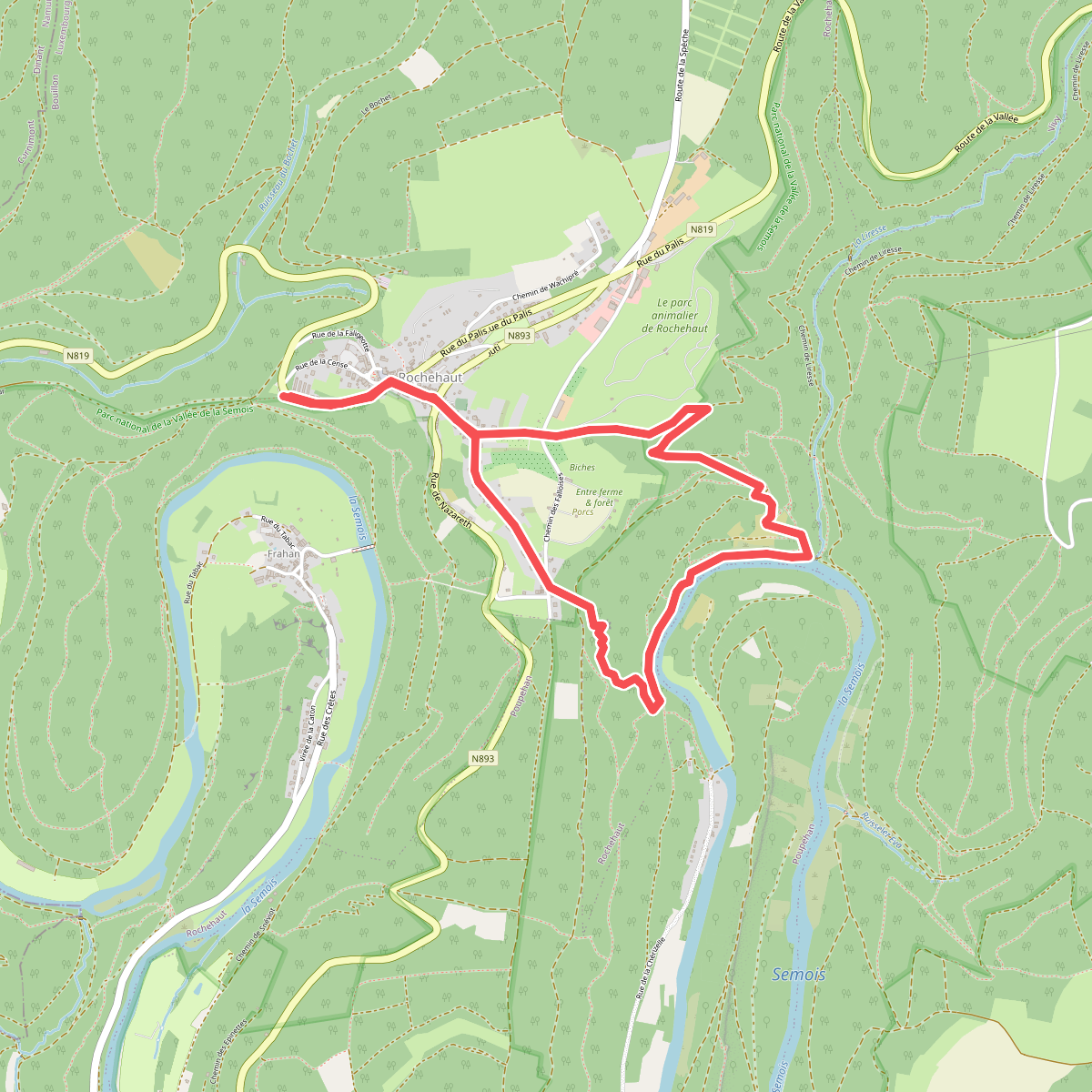
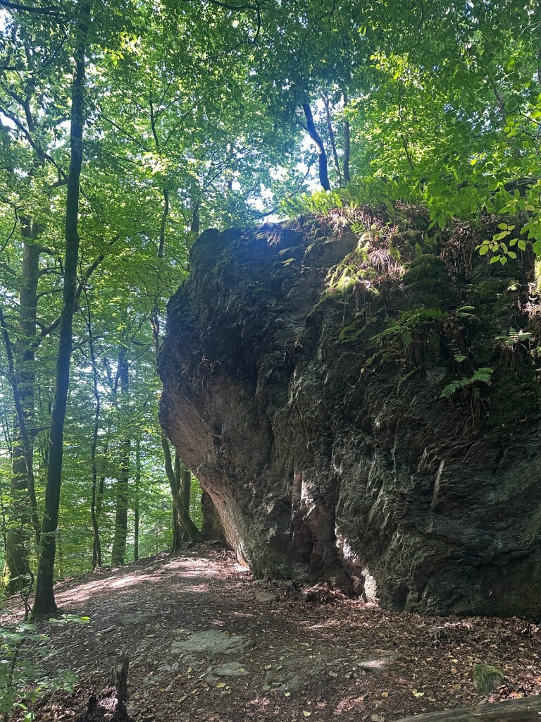
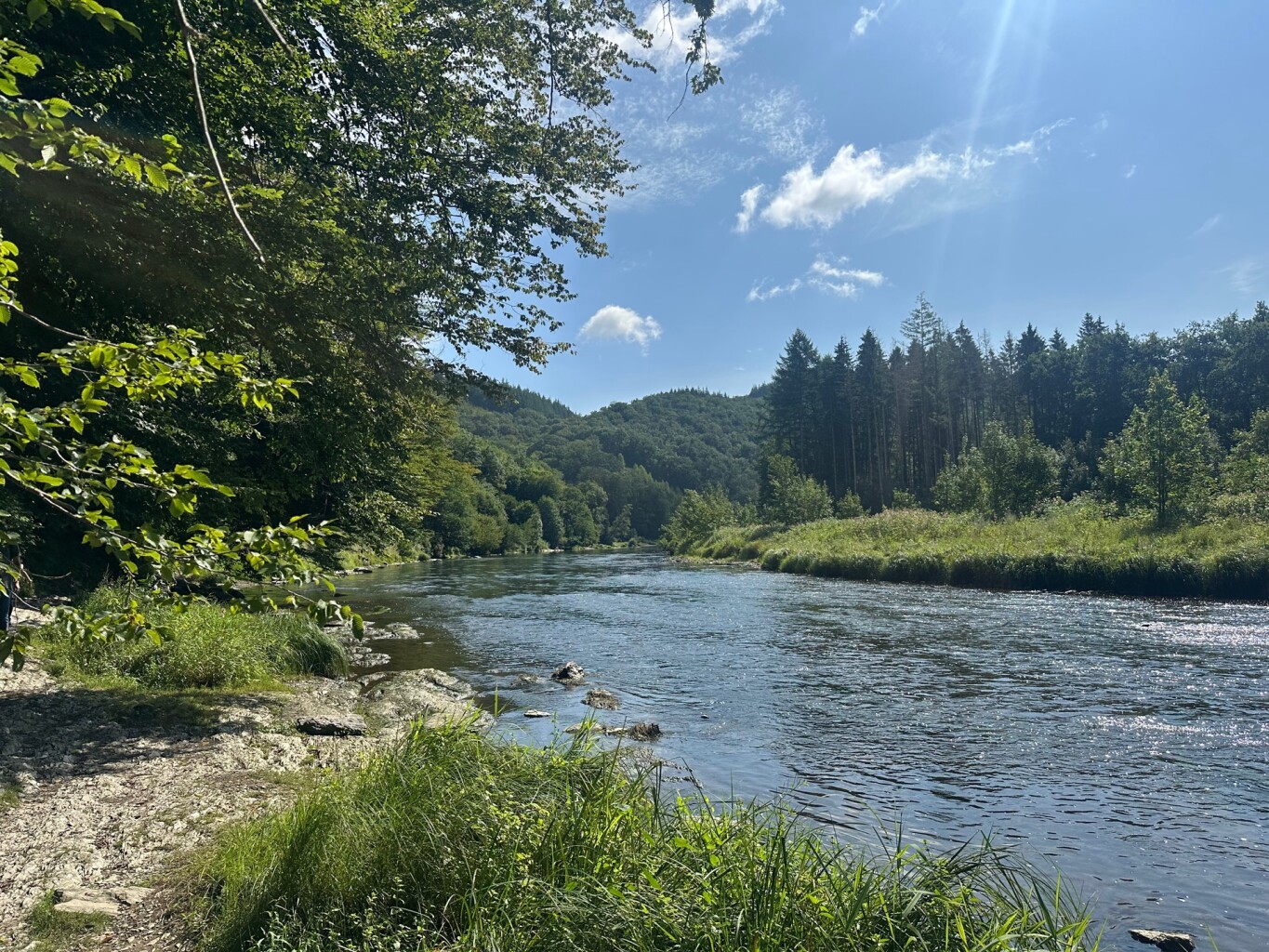
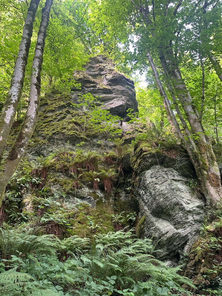
#1. Laddertjeswandeling in Rochehaut
Bouillon
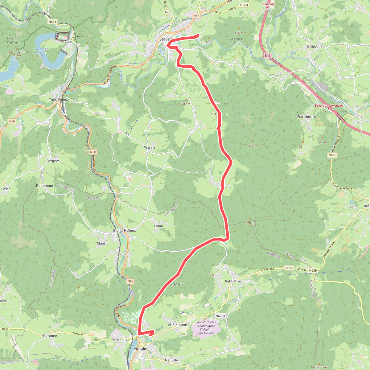
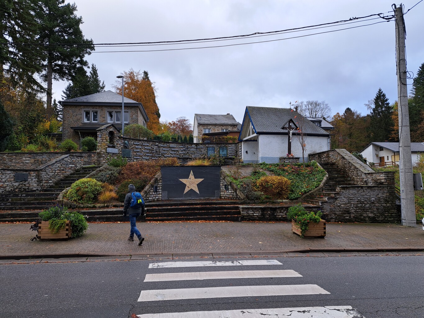
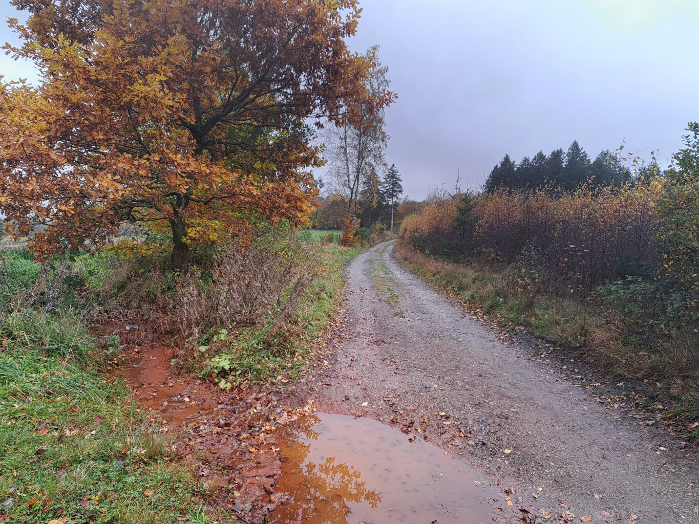
#2. Stavelot - Vielsalm · GR5 etappe 21
Stavelot,Trois-Ponts,Grand-Halleux,Vielsalm
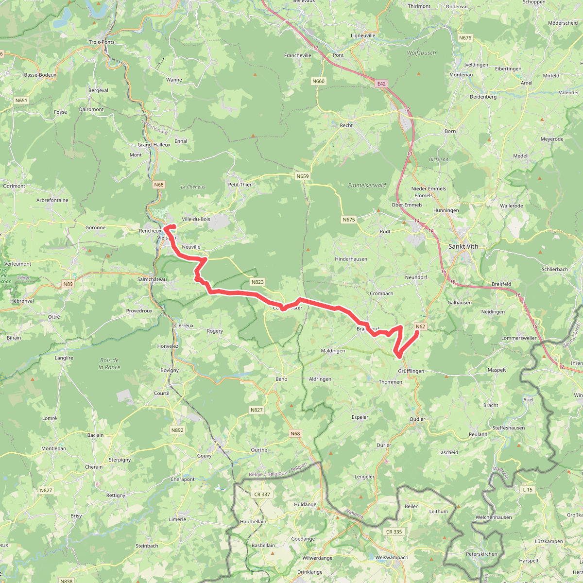
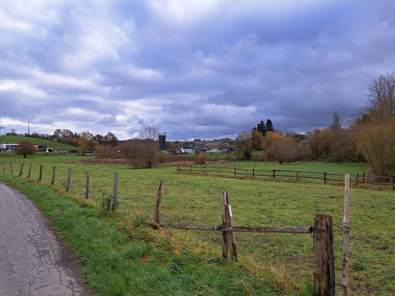
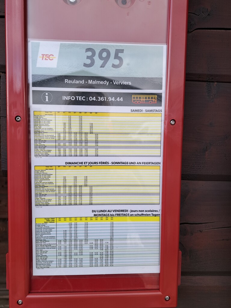
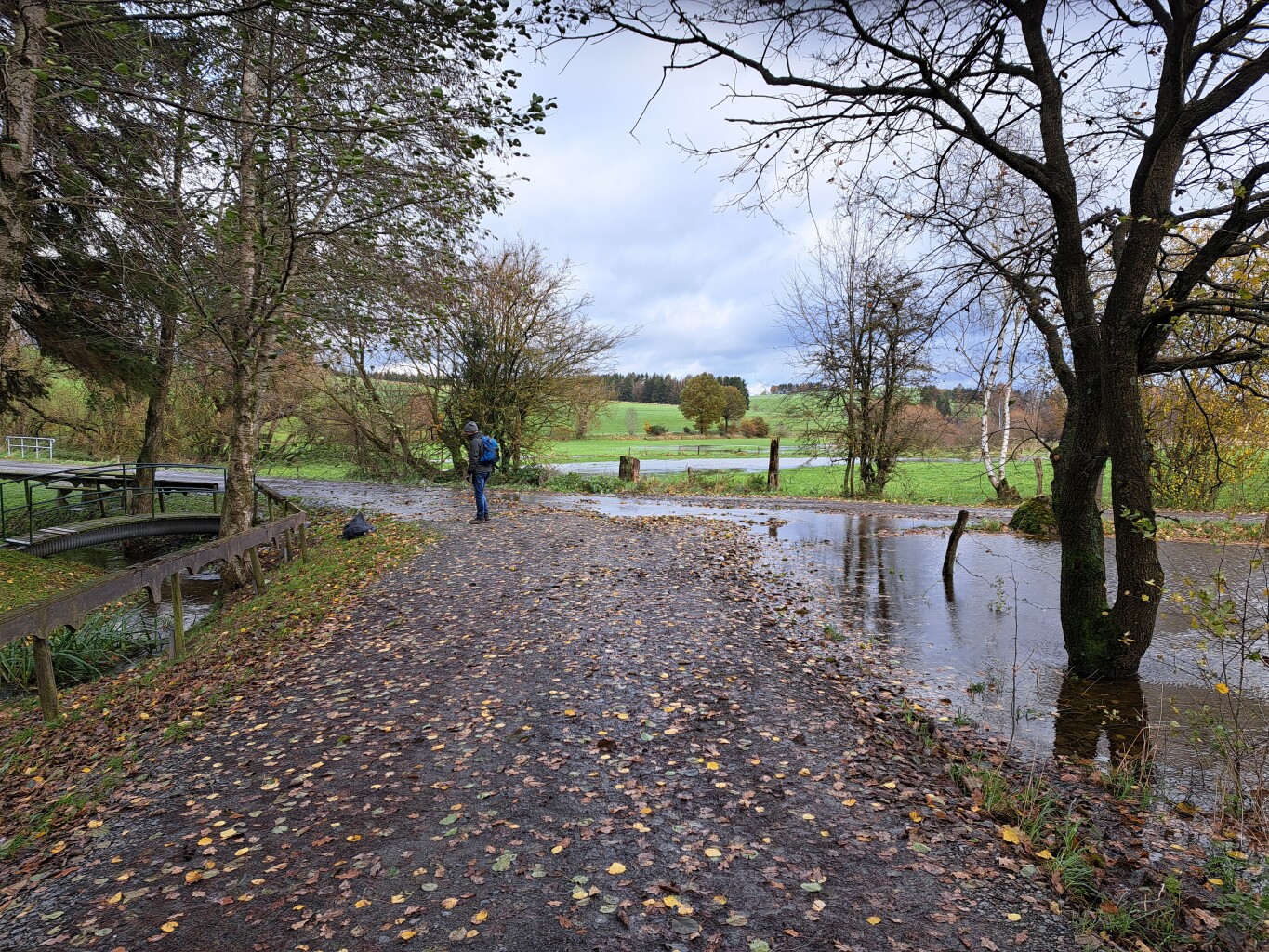
#3. Vielsalm - Grufflingen · GR5 etappe 22
Vielsalm,Bovigny,Petit-Thier,Burg-Reuland,Sankt Vith
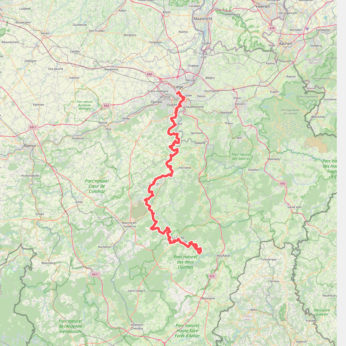
#4. Gr57
Liège,Esneux,Neupré,Anthisnes,Comblain-au-Pont,Hamoir,Durbuy,Hotton,Rendeux,Marche-en-Famenne,Hodister,Marcourt,Halleux,Beausaint,La Roche-en-Ardenne,Ortho,Samrée,Nadrin
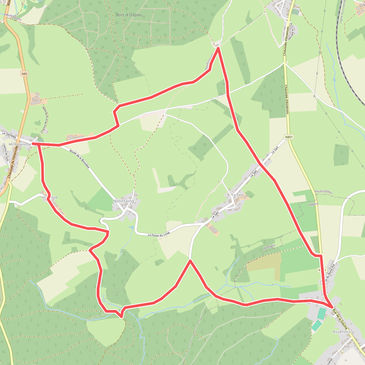
#5. Promenade de Montplainchamps (grande)
Grapfontaine,Neufchâteau,Hamipre,Assenois
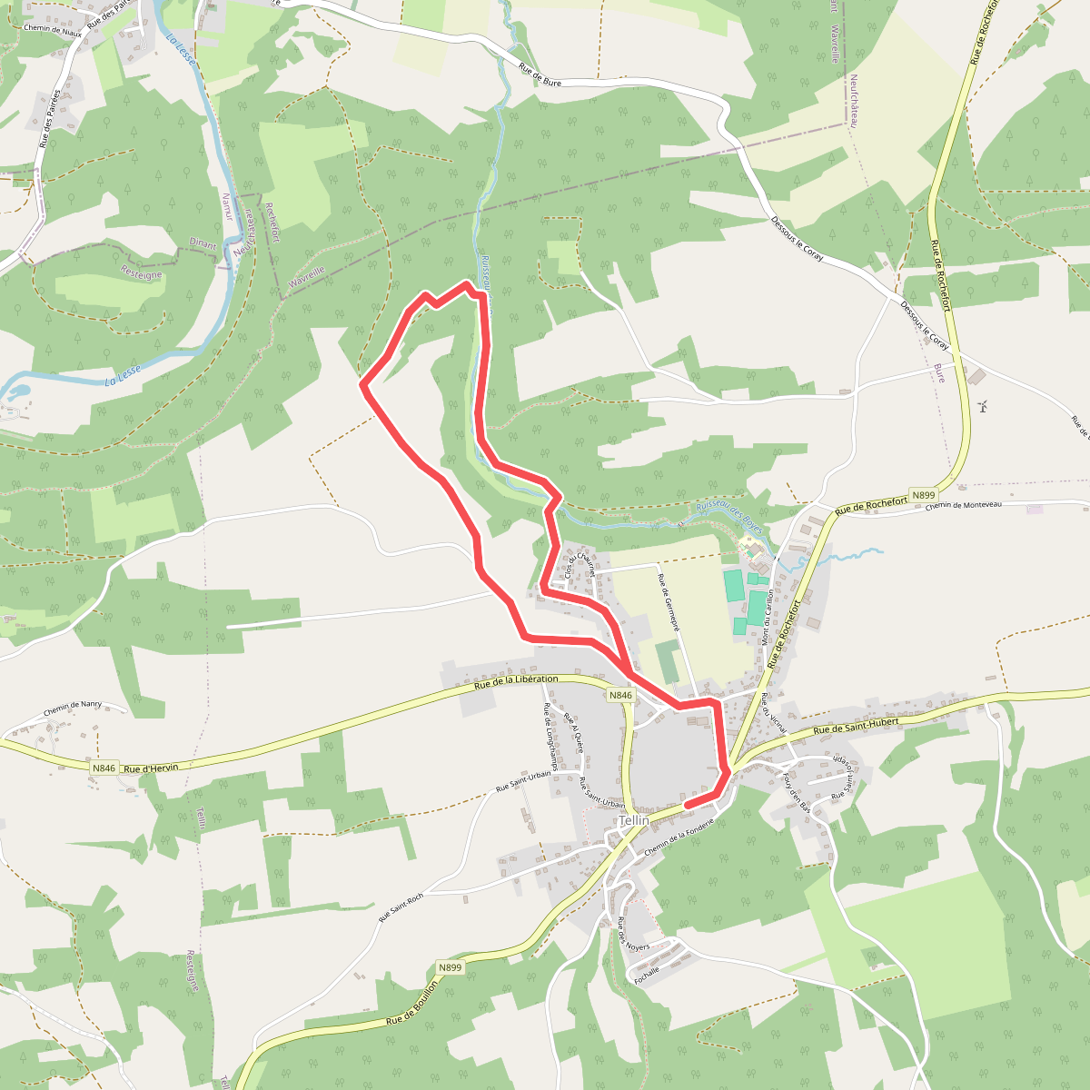
#6. TL13 Promenade du Trou des Lûtons
Tellin
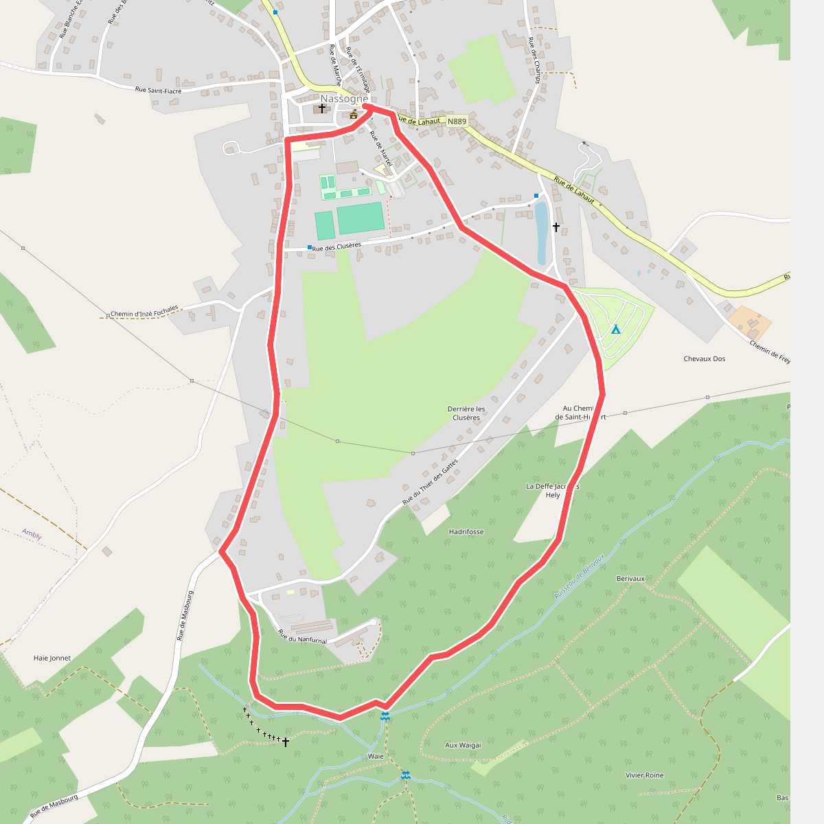
#7. 16. Promenade Saint-Léonard
Nassogne
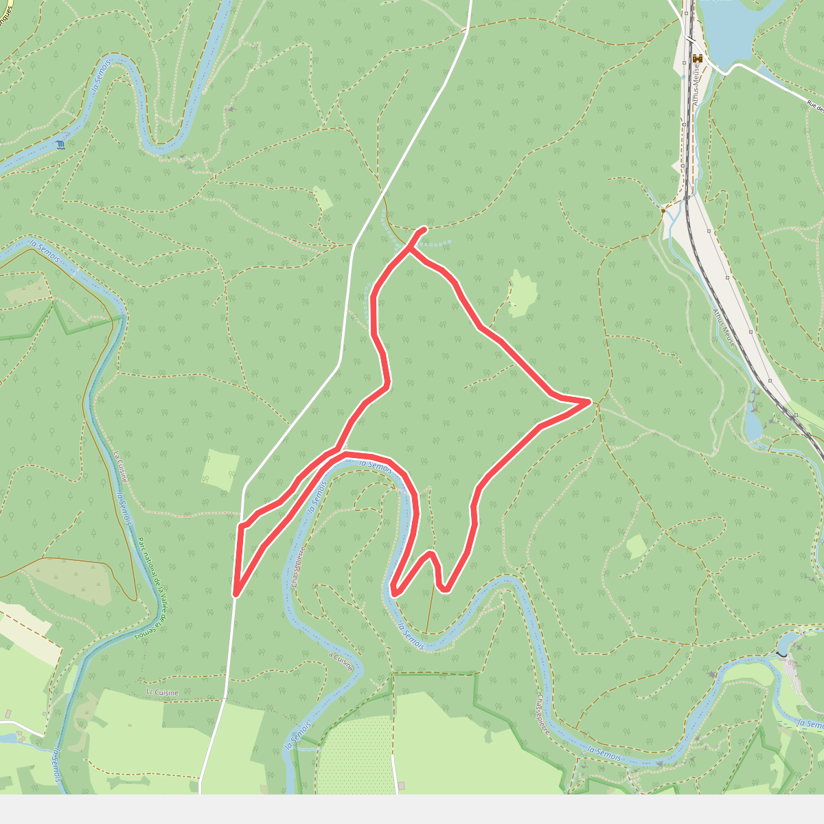
#8. 17 Chassepierre - Roche Perette
La Cuisine
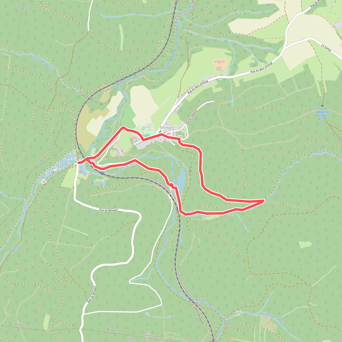
#9. 28. La Glacière
Mirwart
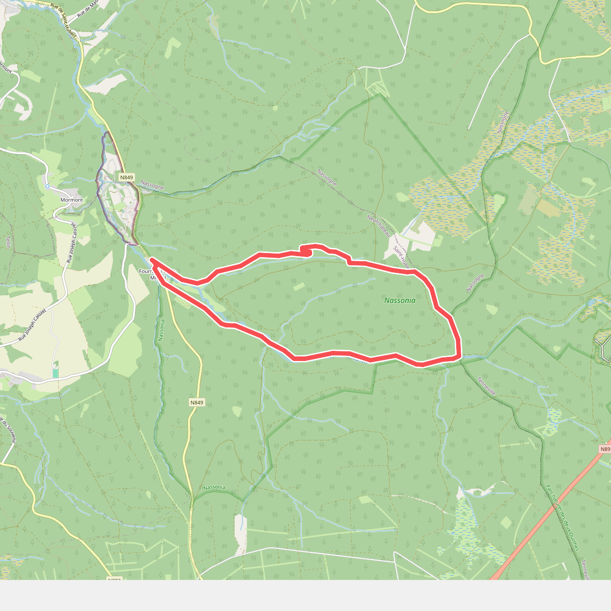
#10. 5. Plain de Saint-Michel
Saint-Hubert
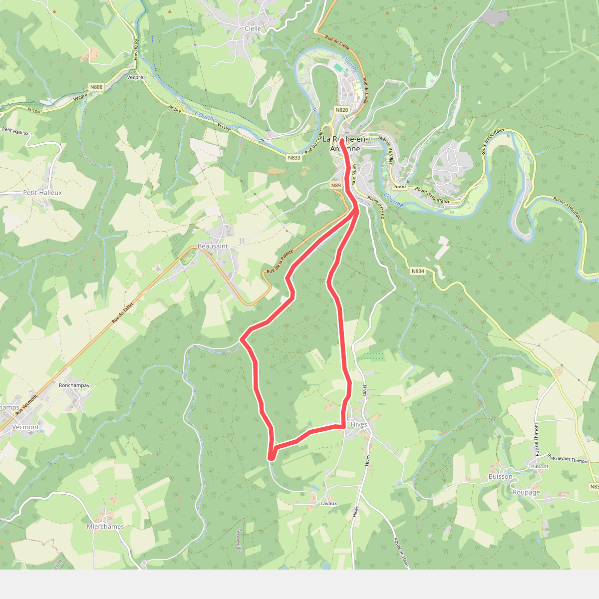
#11. 8. Vallée des Tombes
La Roche-en-Ardenne,Hives,Beausaint
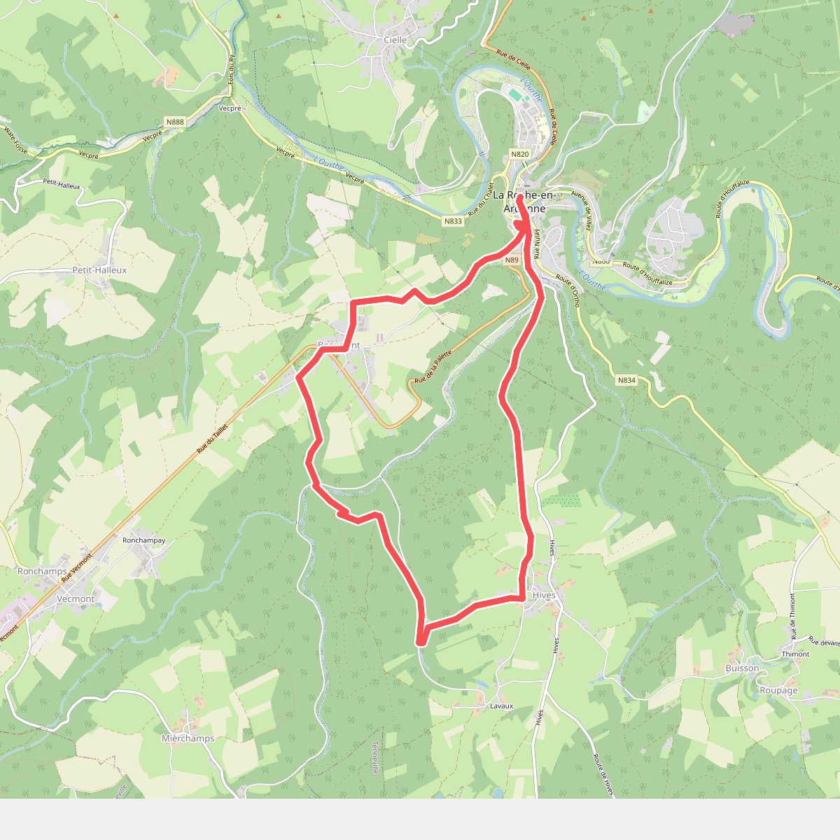
#12. 9. Beausaint
La Roche-en-Ardenne,Beausaint,Hives



