

The best hiking routes in Belgium
Discover the best walks in Belgium. 2585 routes on the map, with descriptions, photos and GPX.
About Belgium
Belgium divides into distinct walking terrains shaped by geology and agriculture. In the northern regions of West-Vlaanderen, Oost-Vlaanderen, and Antwerpen, the landscape is flat and dominated by sandy soils, pine plantations, and coastal dunes. Paths here are often soft underfoot, following straight drainage canals or low dikes. In contrast, the central belt of Vlaams-Brabant, Waals-Brabant, and Henegouwen offers gently rolling farmland with thick clay soils, where walkers follow ancient sunken lanes cut deep into the loess by centuries of cart traffic.
Read more
About Belgium
Belgium divides into distinct walking terrains shaped by geology and agriculture. In the northern regions of West-Vlaanderen, Oost-Vlaanderen, and Antwerpen, the landscape is flat and dominated by sandy soils, pine plantations, and coastal dunes. Paths here are often soft underfoot, following straight drainage canals or low dikes. In contrast, the central belt of Vlaams-Brabant, Waals-Brabant, and Henegouwen offers gently rolling farmland with thick clay soils, where walkers follow ancient sunken lanes cut deep into the loess by centuries of cart traffic.
Read moreBelgium divides into distinct walking terrains shaped by geology and agriculture. In the northern regions of West-Vlaanderen, Oost-Vlaanderen, and Antwerpen, the landscape is flat and dominated by sandy soils, pine plantations, and coastal dunes. Paths here are often soft underfoot, following straight drainage canals or low dikes. In contrast, the central belt of Vlaams-Brabant, Waals-Brabant, and Henegouwen offers gently rolling farmland with thick clay soils, where walkers follow ancient sunken lanes cut deep into the loess by centuries of cart traffic.
Further south and east, the terrain rises into the older, rocky plateaus of Namen, Luik, and Luxemburg. Here, the paths turn to gravel and slate, cutting through dense deciduous forests and deep river valleys. This is the most forested part of the country, where steep climbs replace the gentle slopes of the north.
Limburg bridges these worlds, combining sandy heathlands with orchards that bloom in April. While the northern flatlands are ideal for steady, level walking, the southern provinces require sturdier footwear for rocky, uneven ground.
Regions in Belgium
Zoom or pan for more routes
Hiking routes in Belgium (2,585)
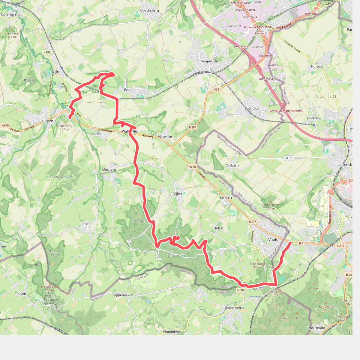
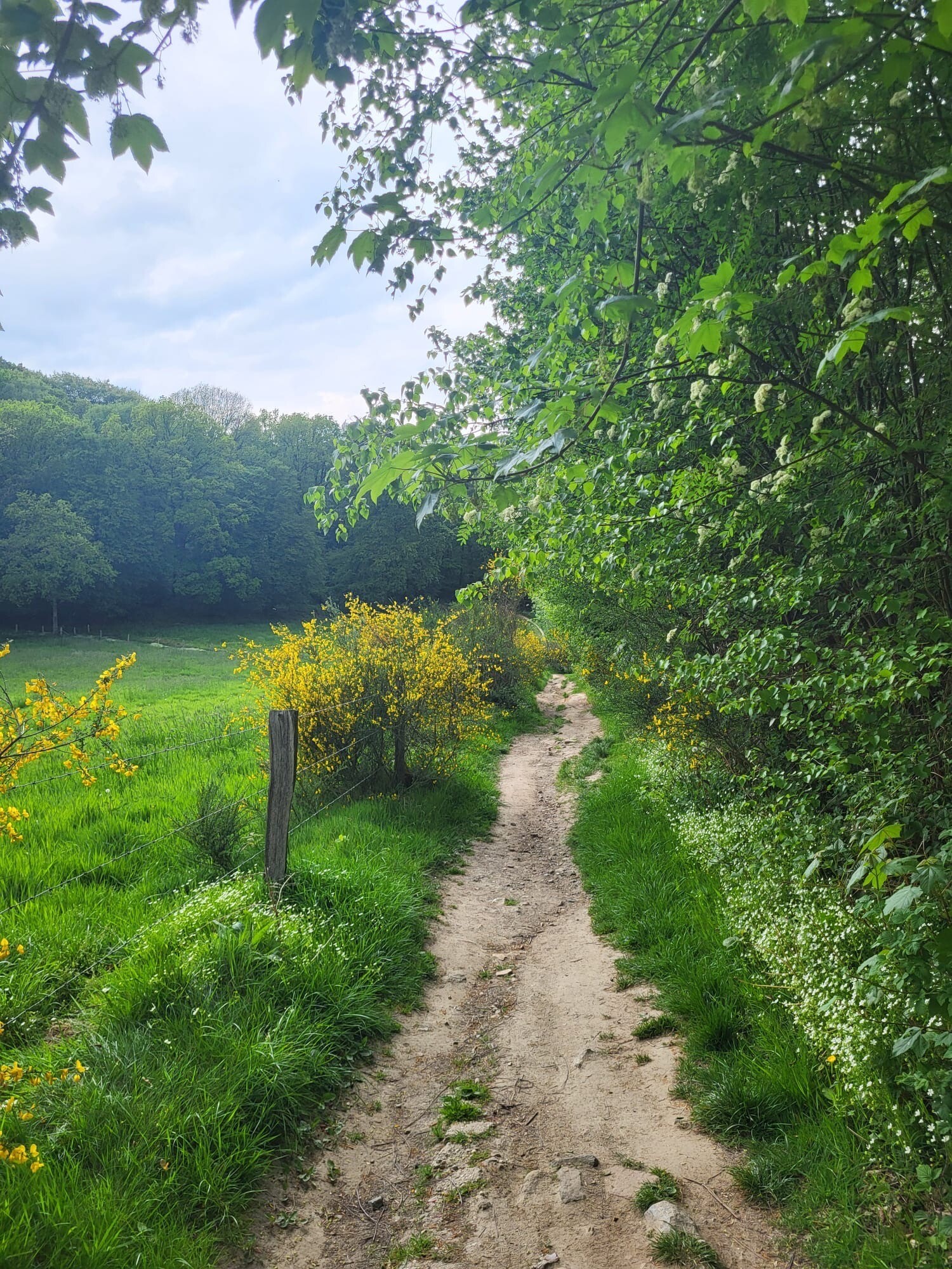
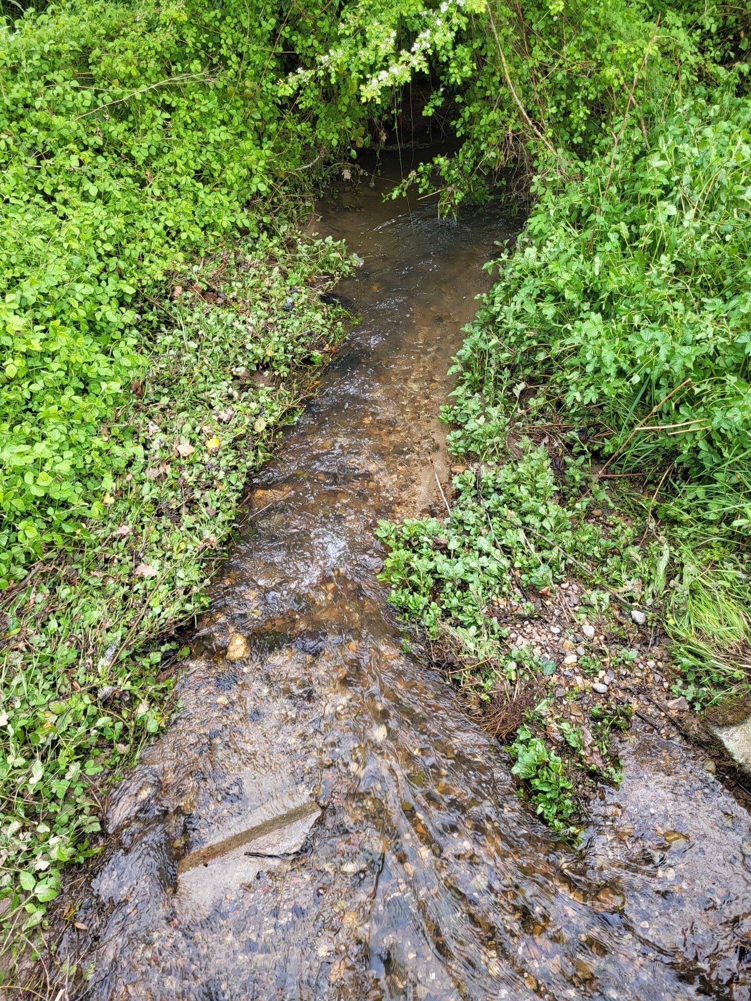
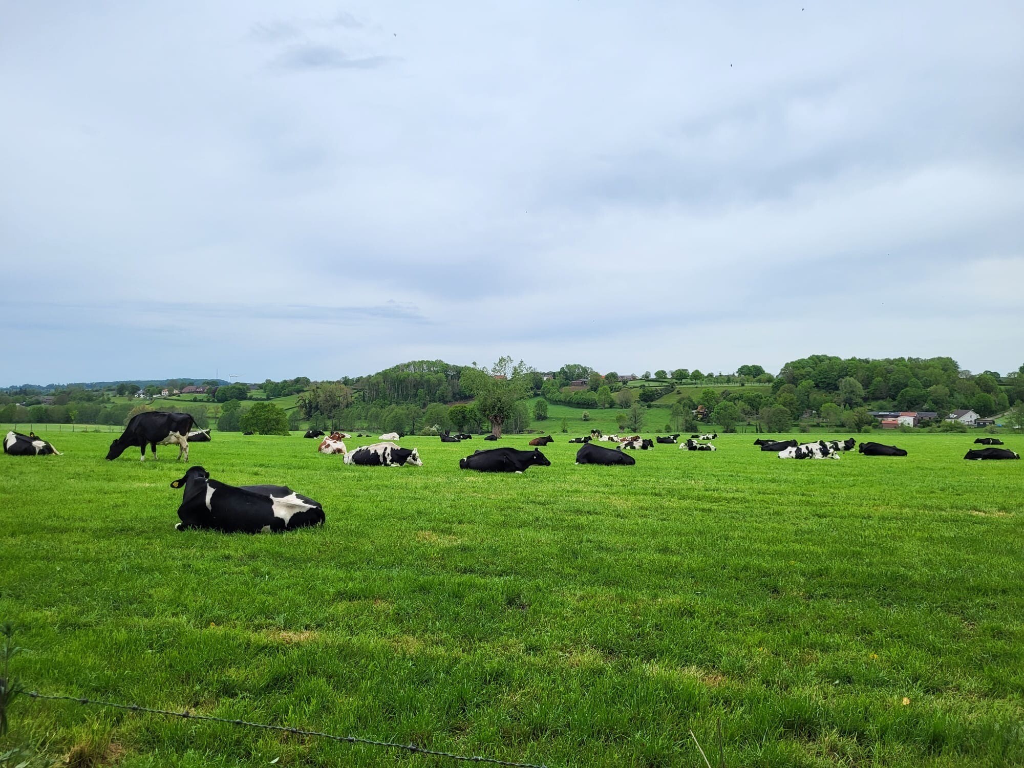
#1. Vaals - Gulpen · Dutch Mountain Trail etappe 2
Gulpen,Wijlre,Eys,Wittem,Mechelen,Vijlen,Vaals
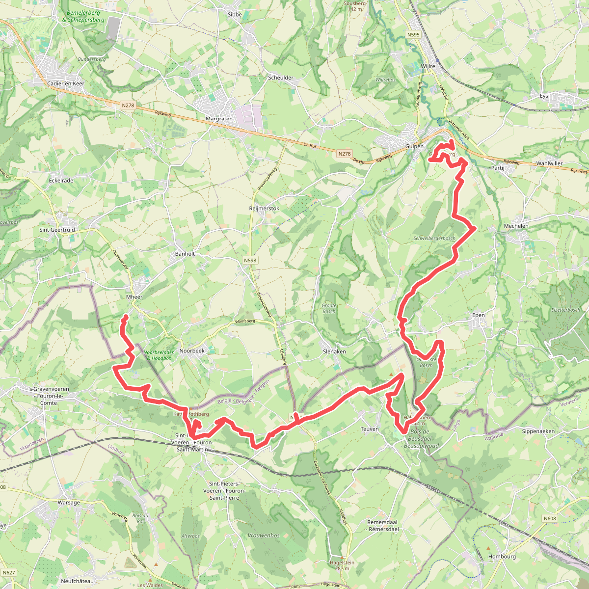
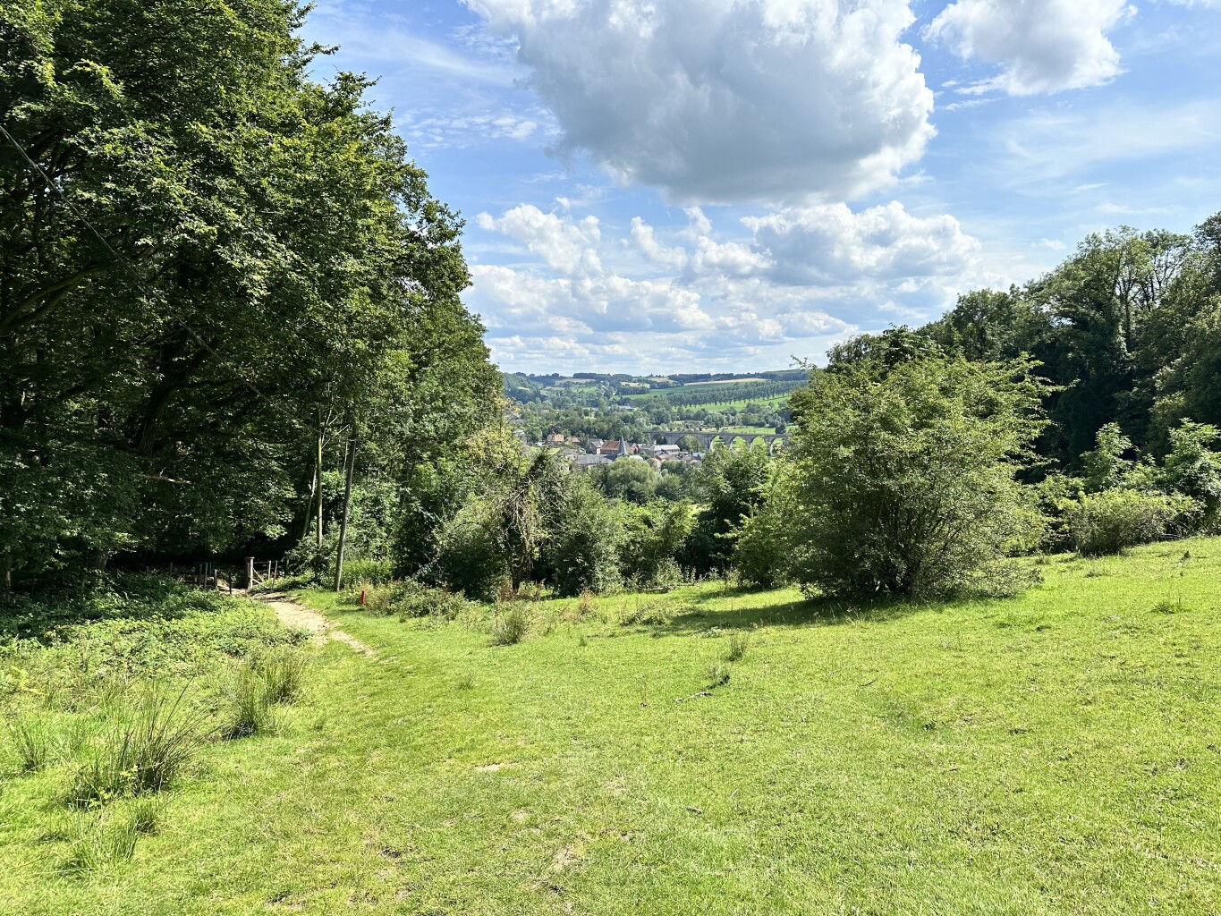
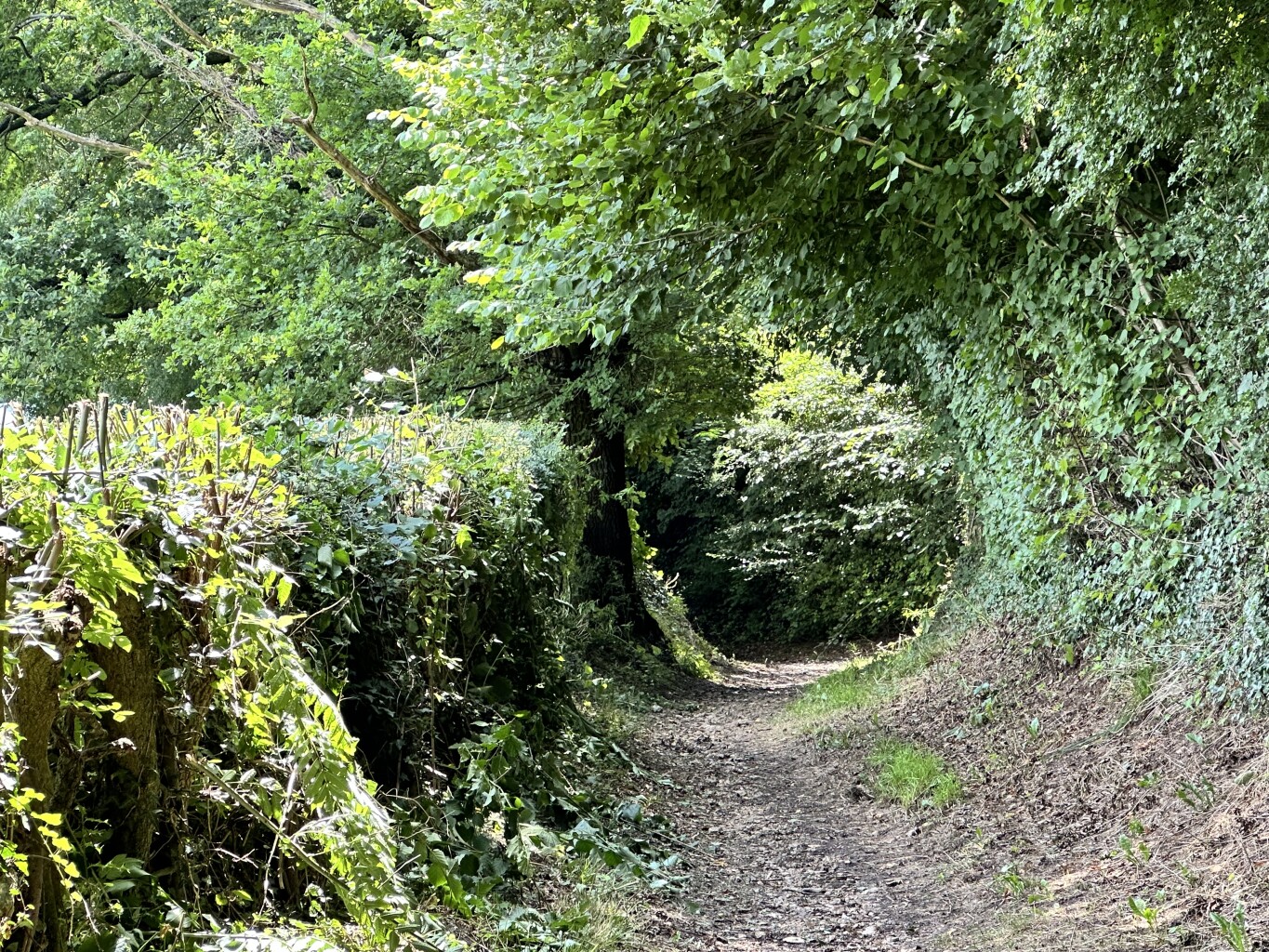
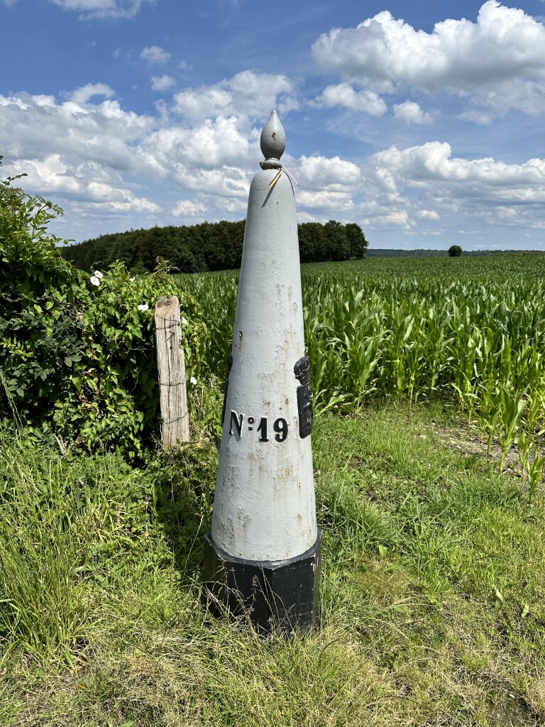
#2. Gulpen - Mheer · Dutch Mountain Trail etappe 3
Mheer,Noorbeek,Slenaken,Heijenrath,Epen,Mechelen,Gulpen,Wittem
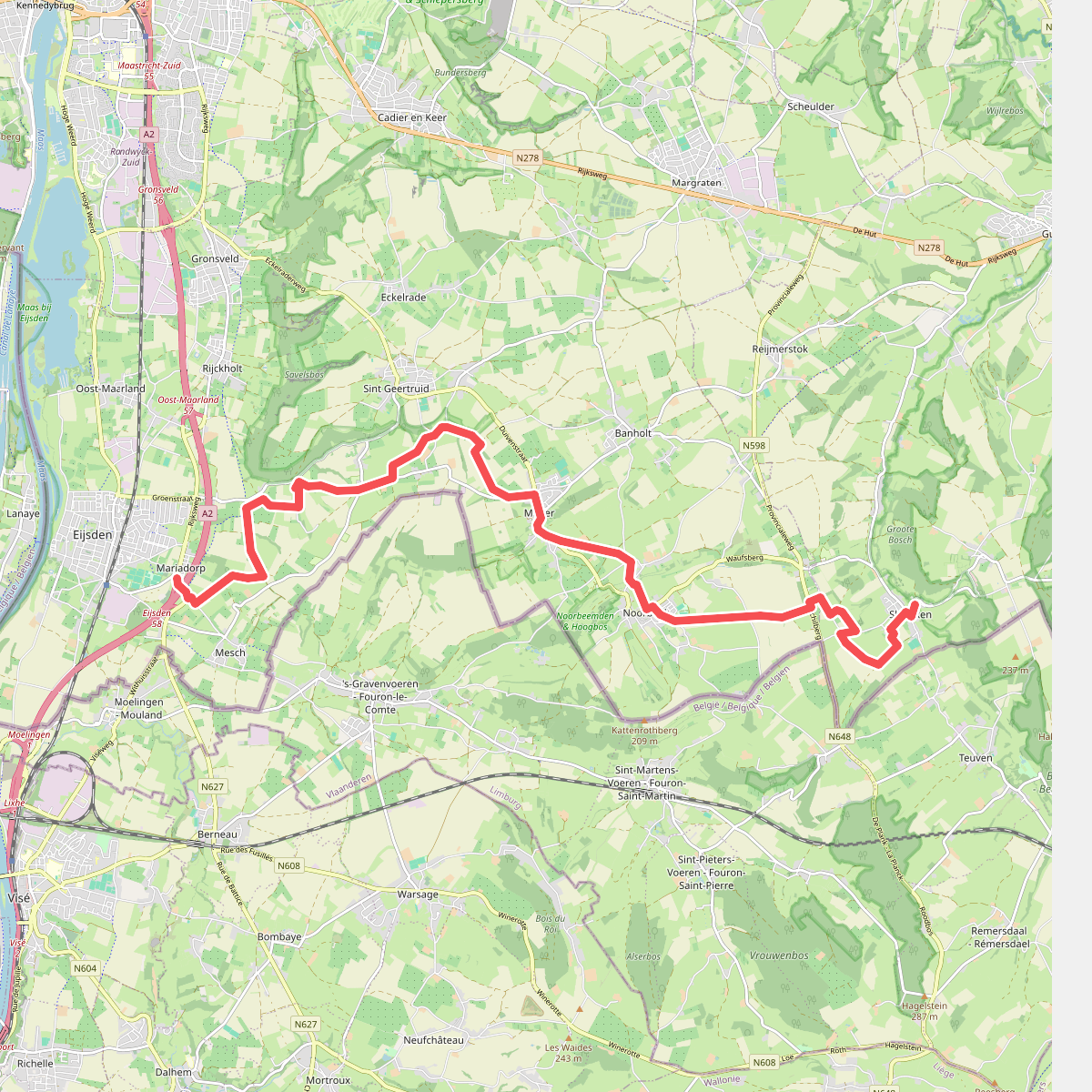
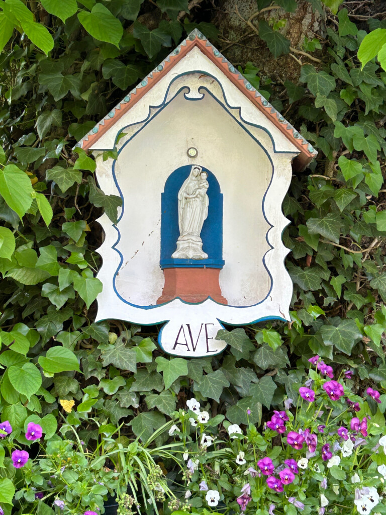
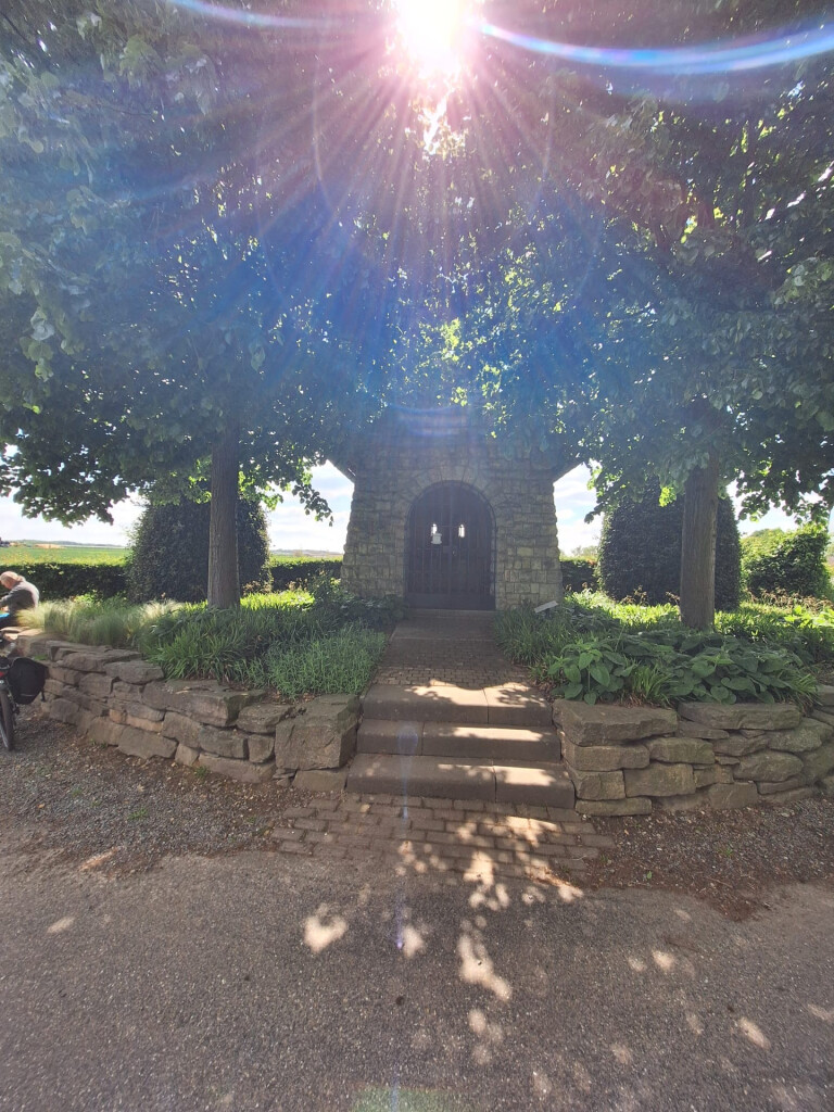
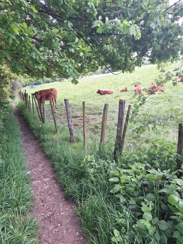
#3. Mariadorp - Slenaken · Krijtlandpad etappe 2
Slenaken,Noorbeek,Mheer,Sint Geertruid,Eijsden
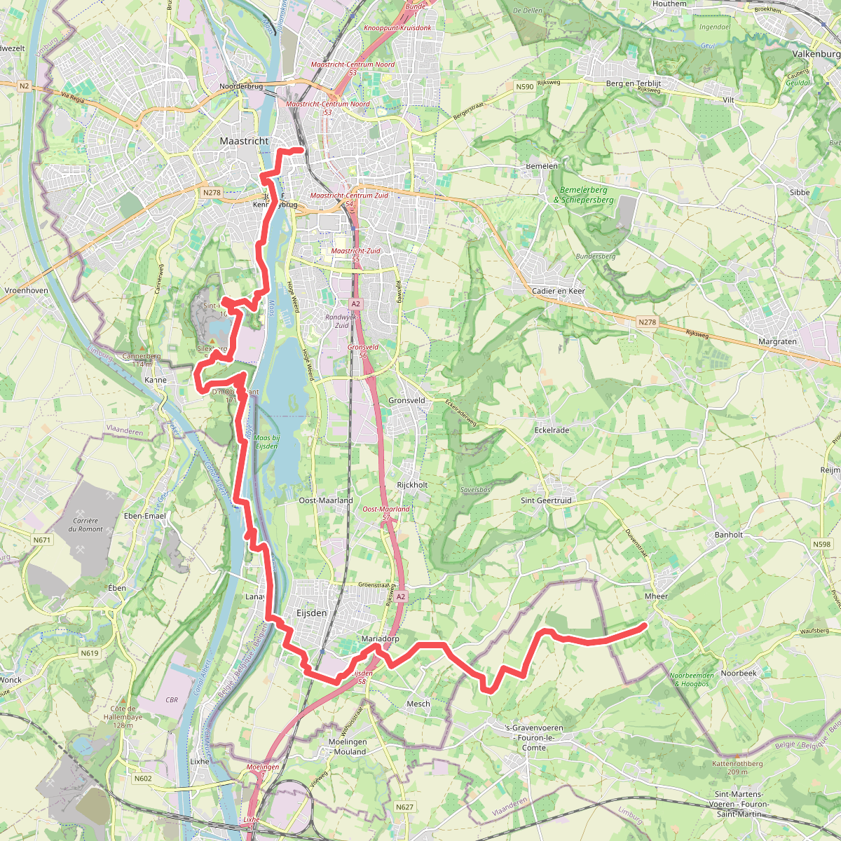
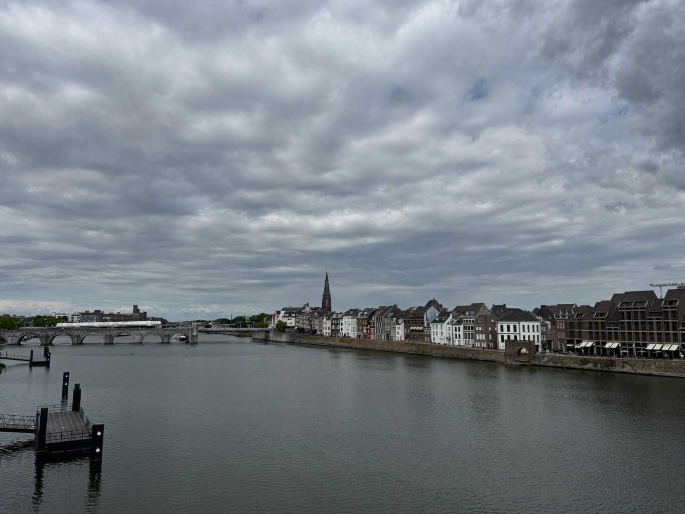
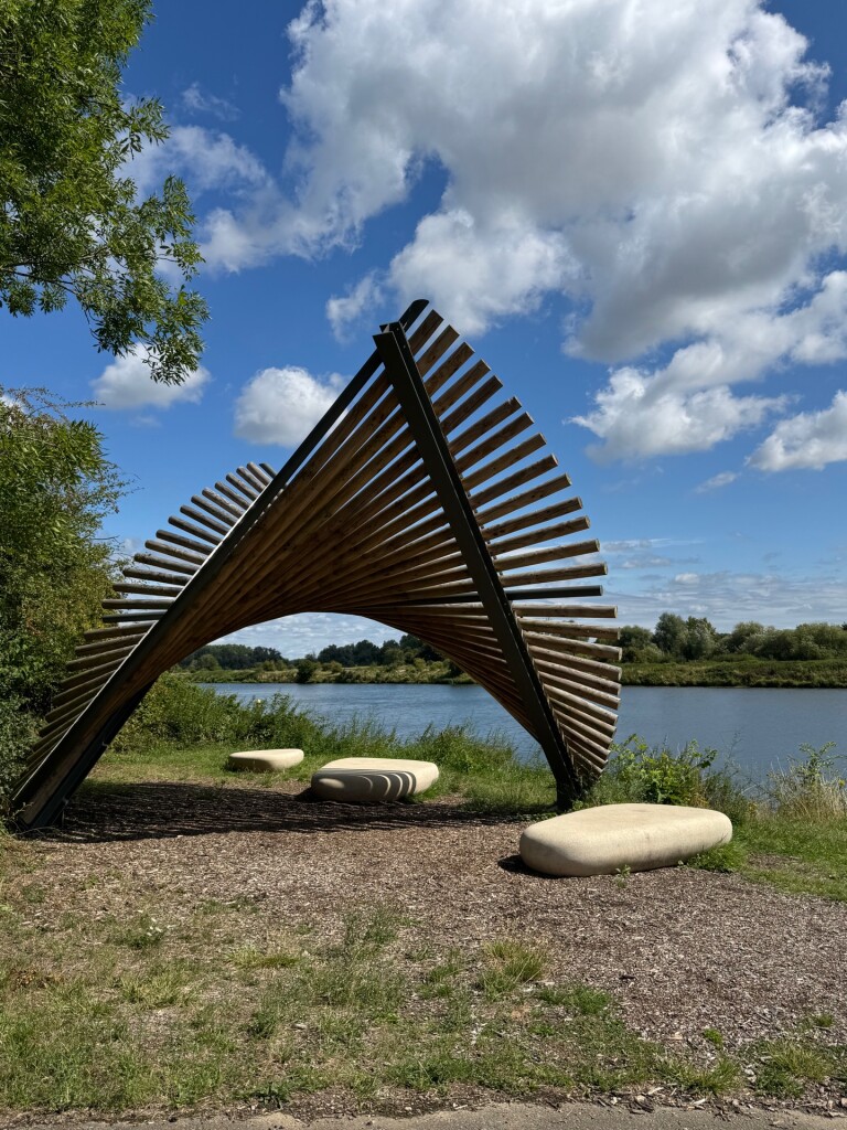
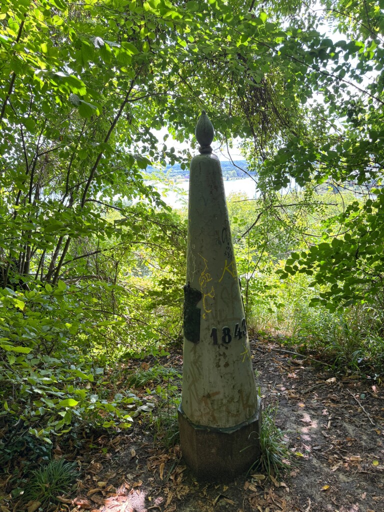
#4. Mheer - Maastricht · Dutch Mountain Trail etappe 4
Maastricht,Eijsden,Sint Geertruid,Mheer
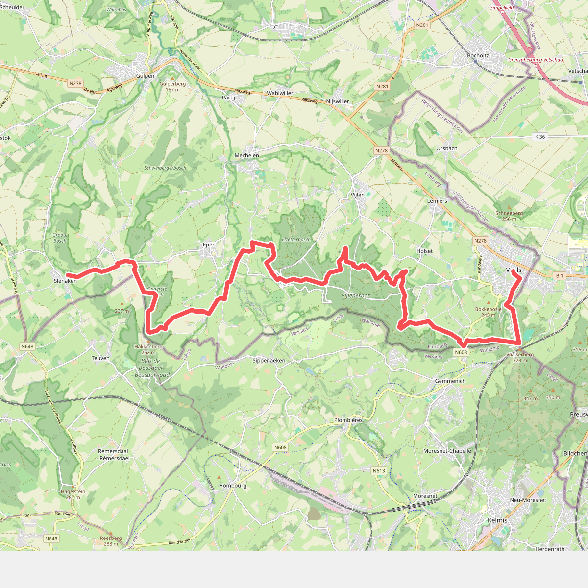
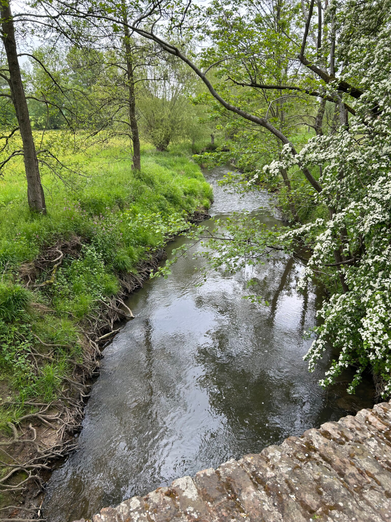
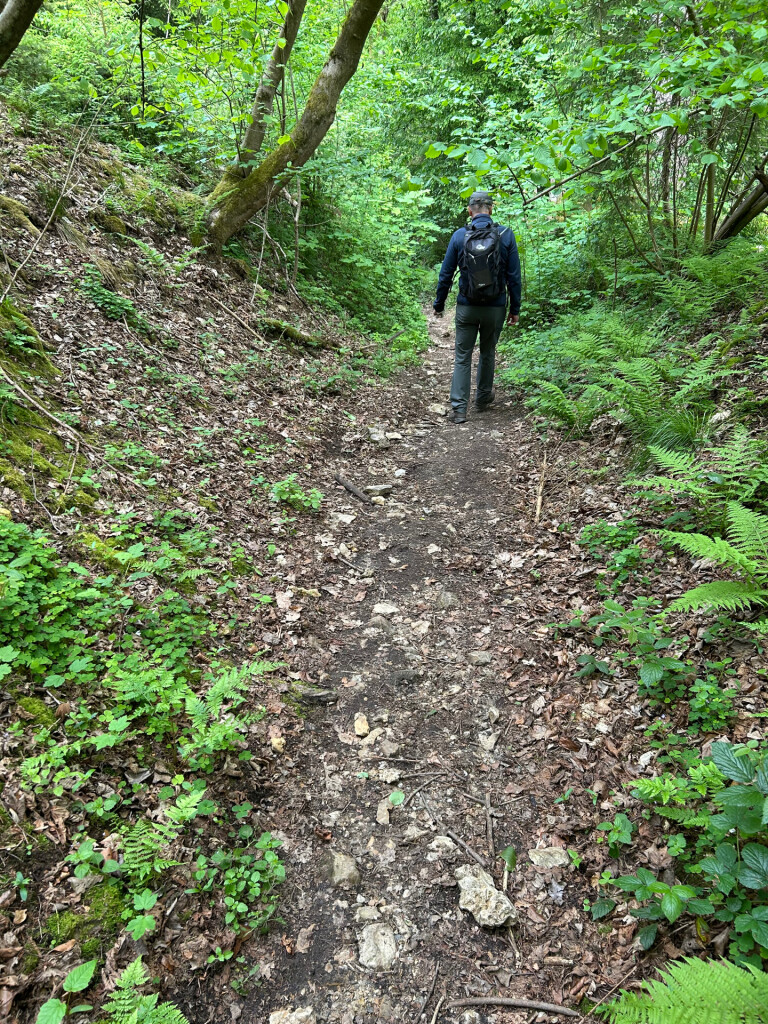
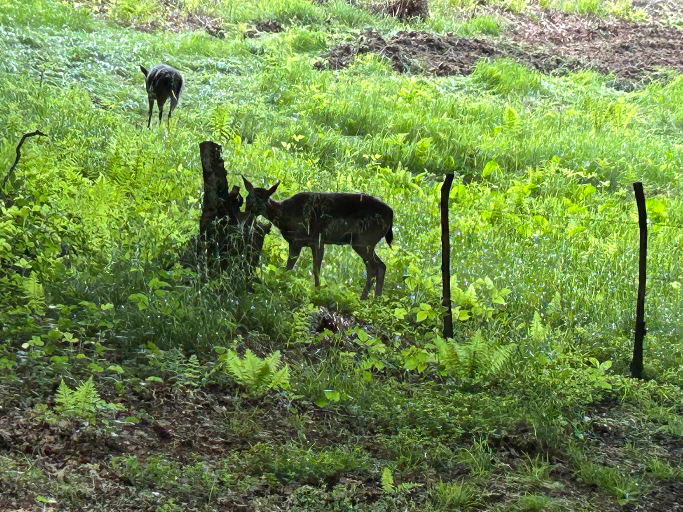
#5. Slenaken - Vaals · Krijtlandpad etappe 3
Vaals,Vijlen,Epen,Mechelen,Heijenrath,Slenaken
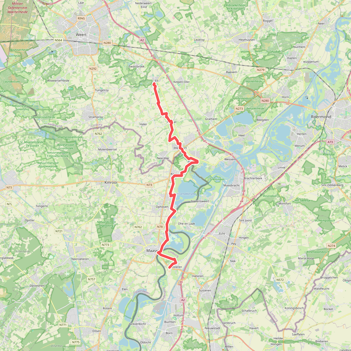
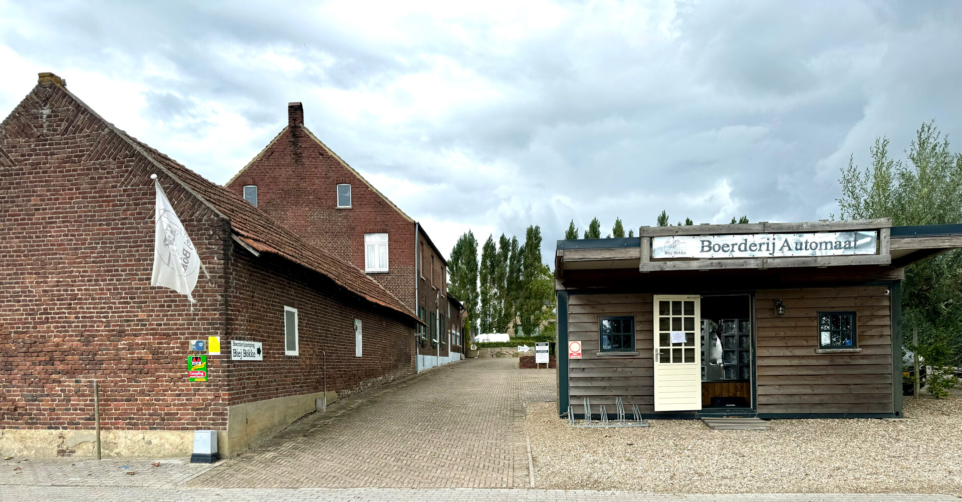
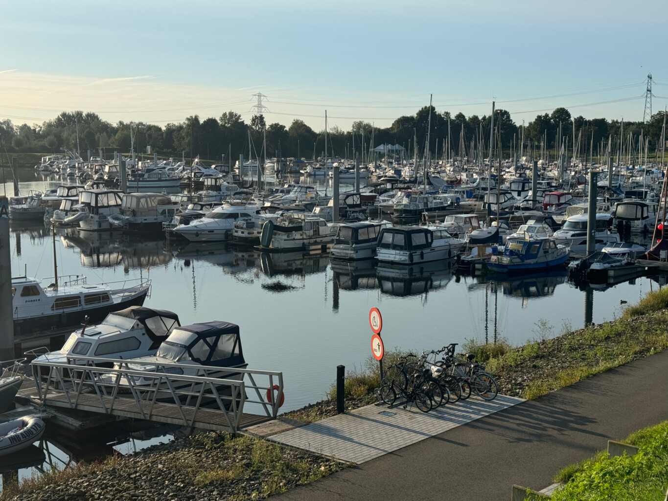
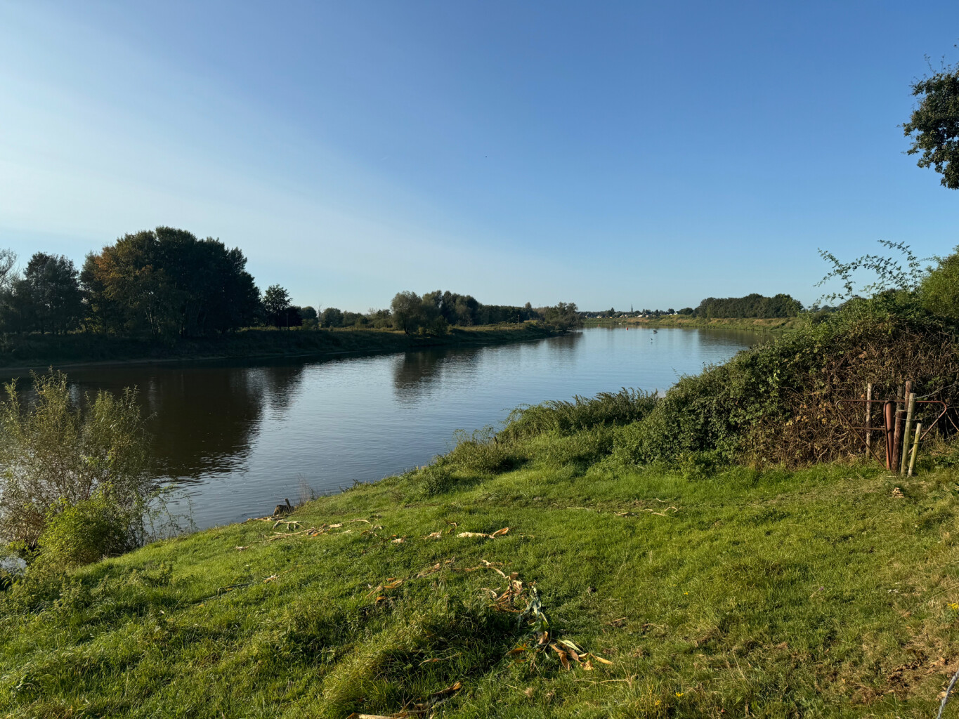
#6. Ell - Roosteren · Pelgrimspad etappe 20
Roosteren,Ohé en Laak,Thorn,Ittervoort,Hunsel,Haler,Ell
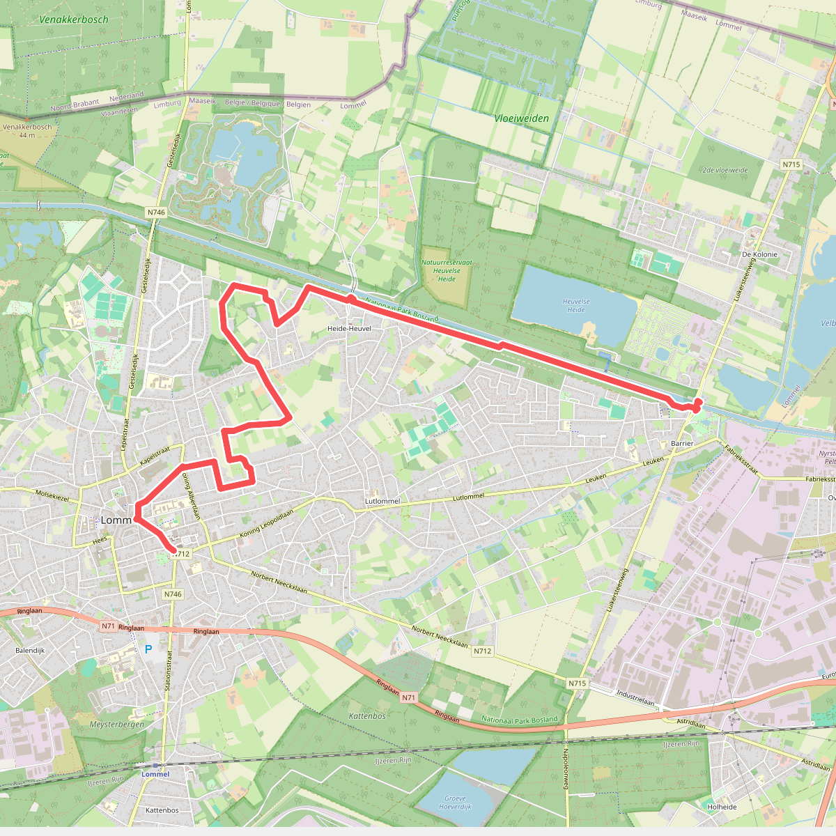
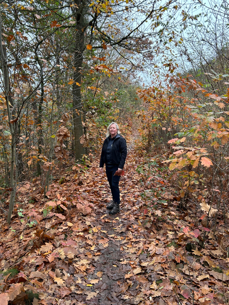
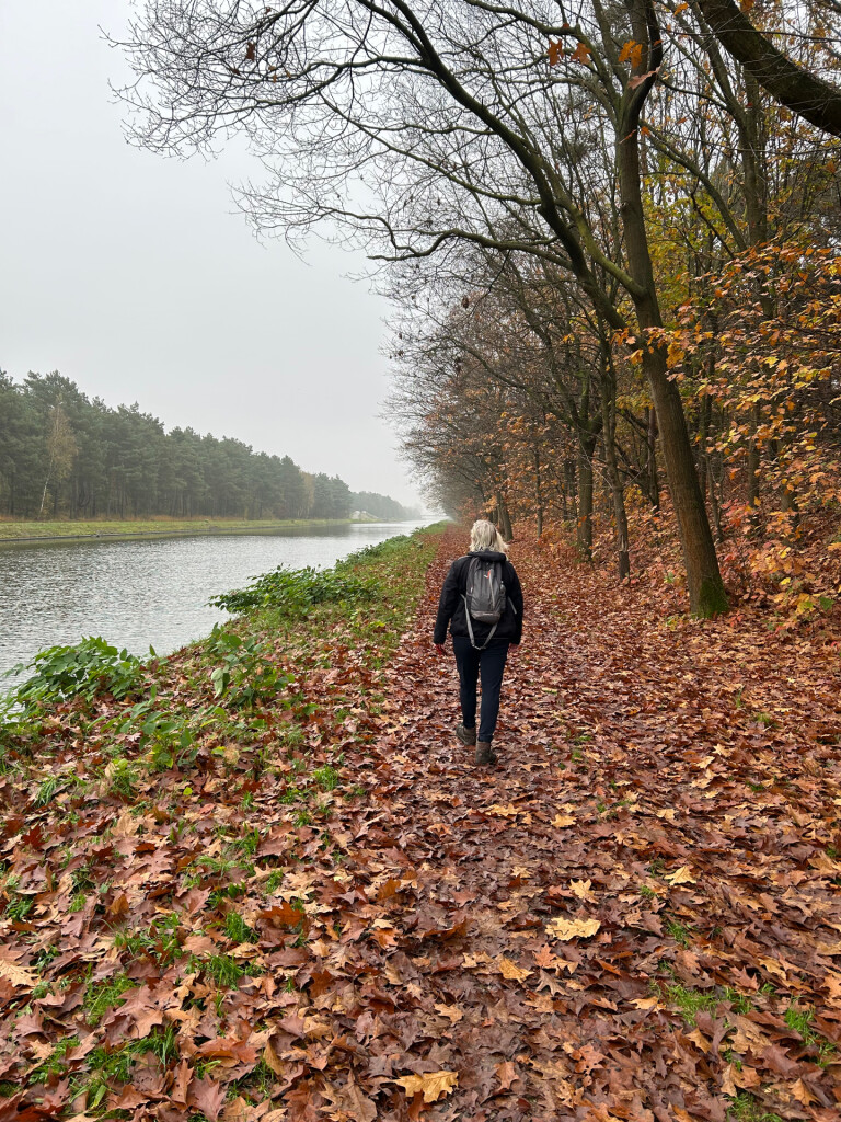
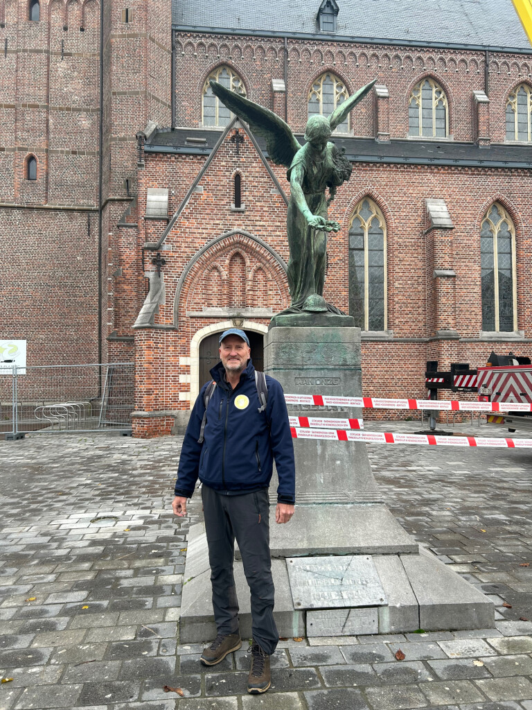
#7. Airbornepad Market Garden - 01 · Airbornepad etappe 1
Lommel

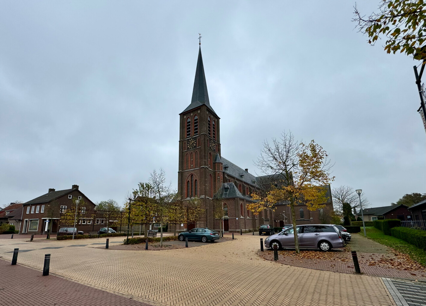
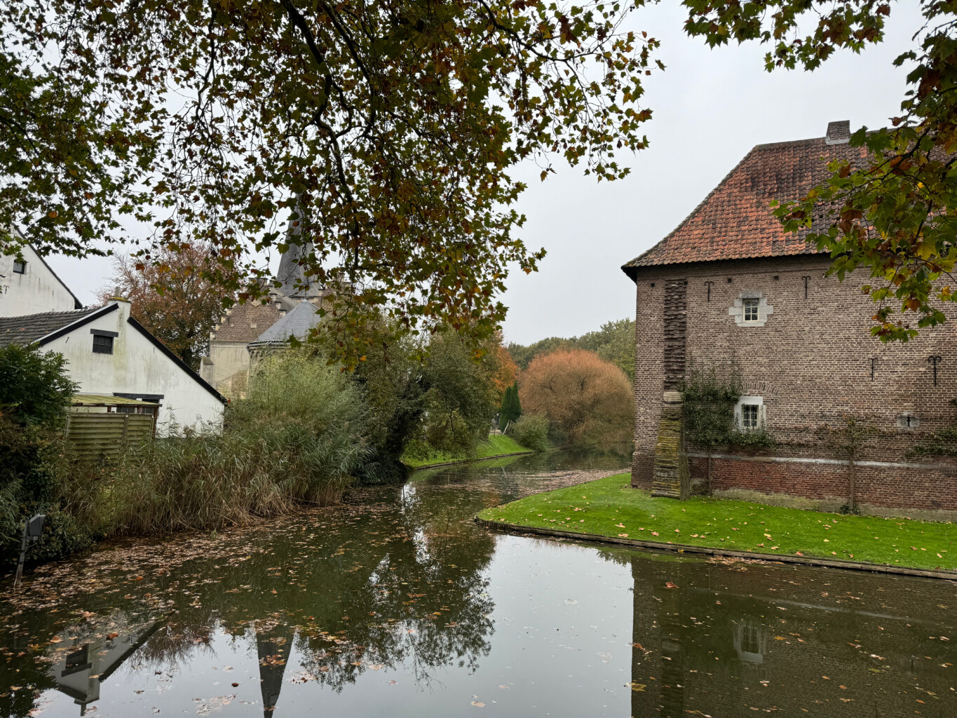
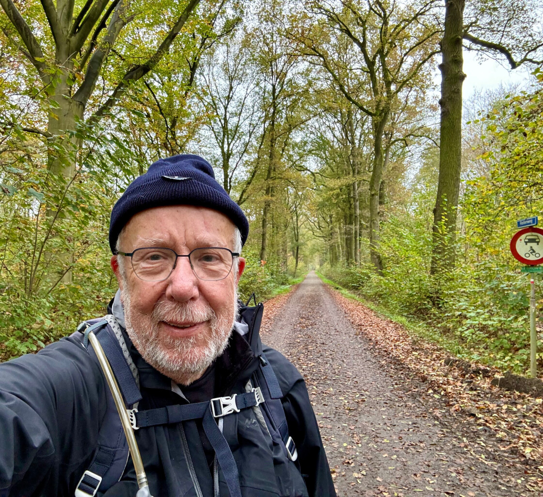
#8. Roosteren - Sittard station · Pelgrimspad etappe 21
Sittard,Limbricht,Born,Buchten,Grevenbicht,Papenhoven,Roosteren
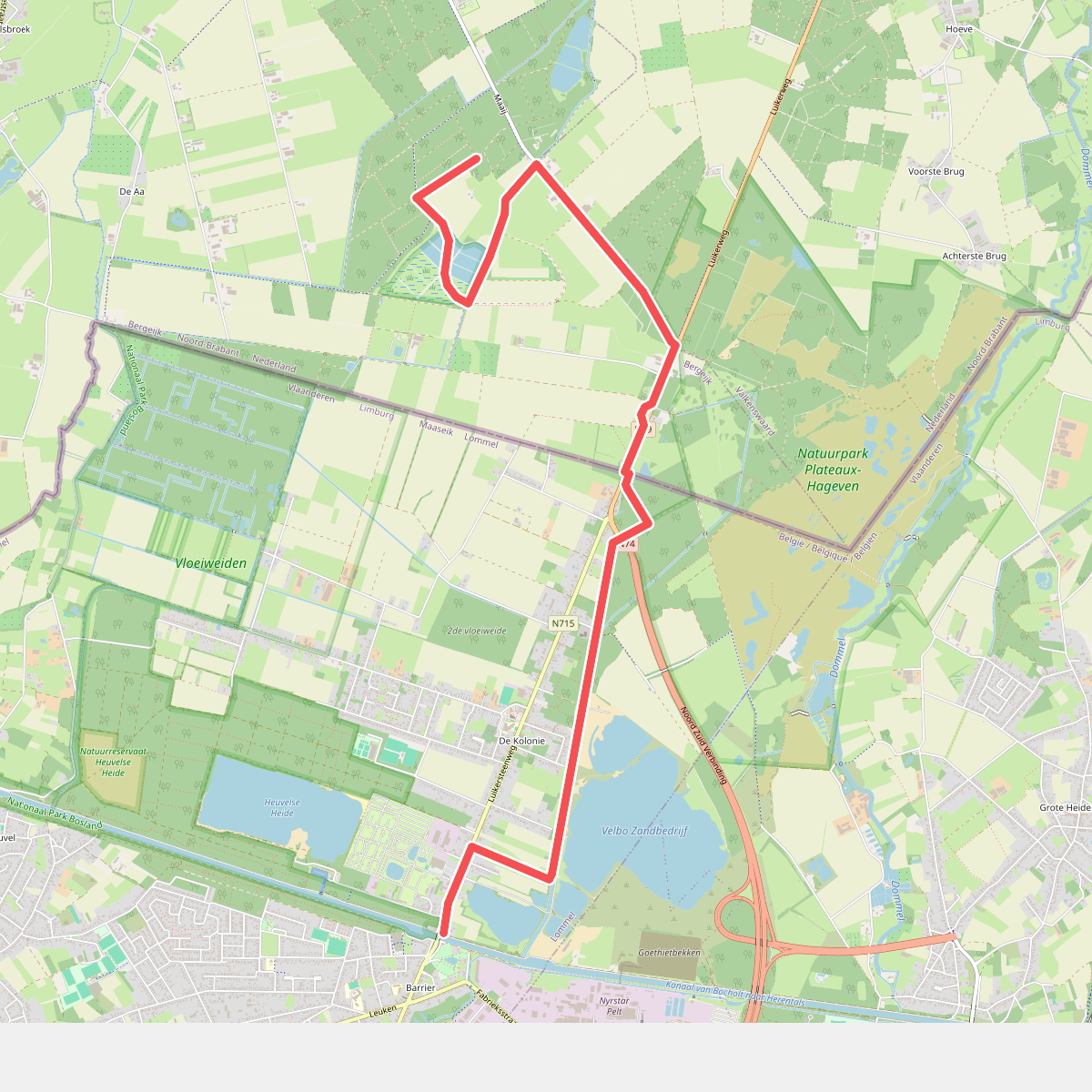
#9. Airbornepad Market Garden - 02 · Airbornepad etappe 2
Bergeijk
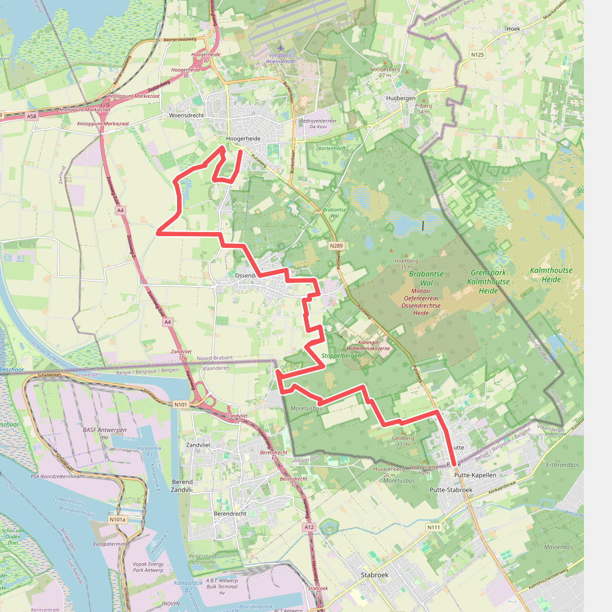
#10. Putte - Hoogerheide · Brabantse Wal etappe 5
Hoogerheide,Woensdrecht,Ossendrecht,Putte
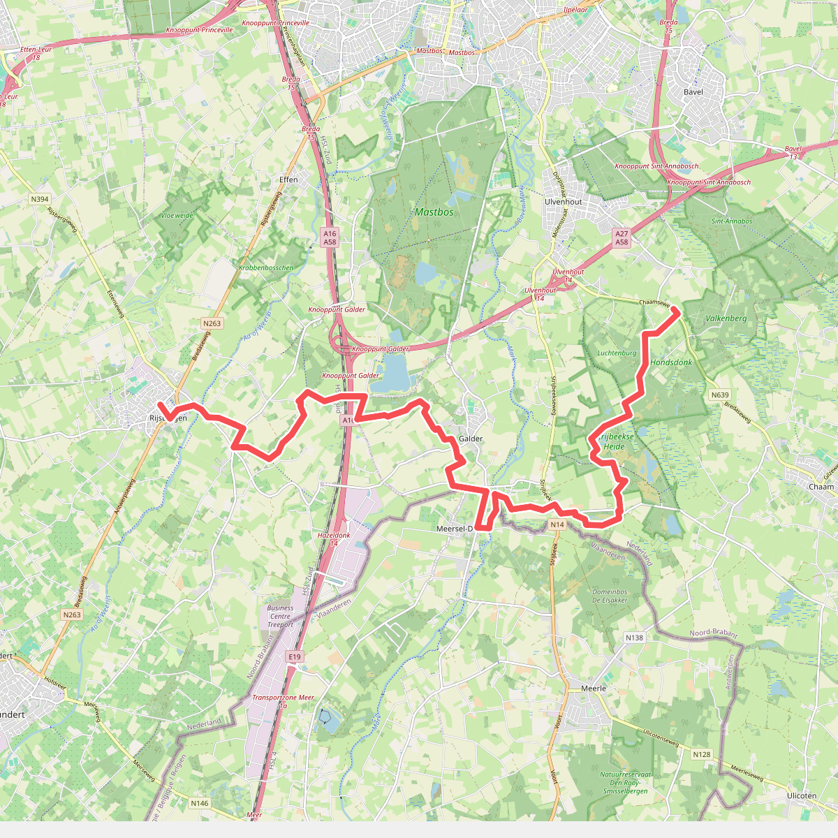
#11. Rijsbergen - N639 · Grenslandpad etappe 10
Ulvenhout AC,Strijbeek,Galder,Breda,Rijsbergen
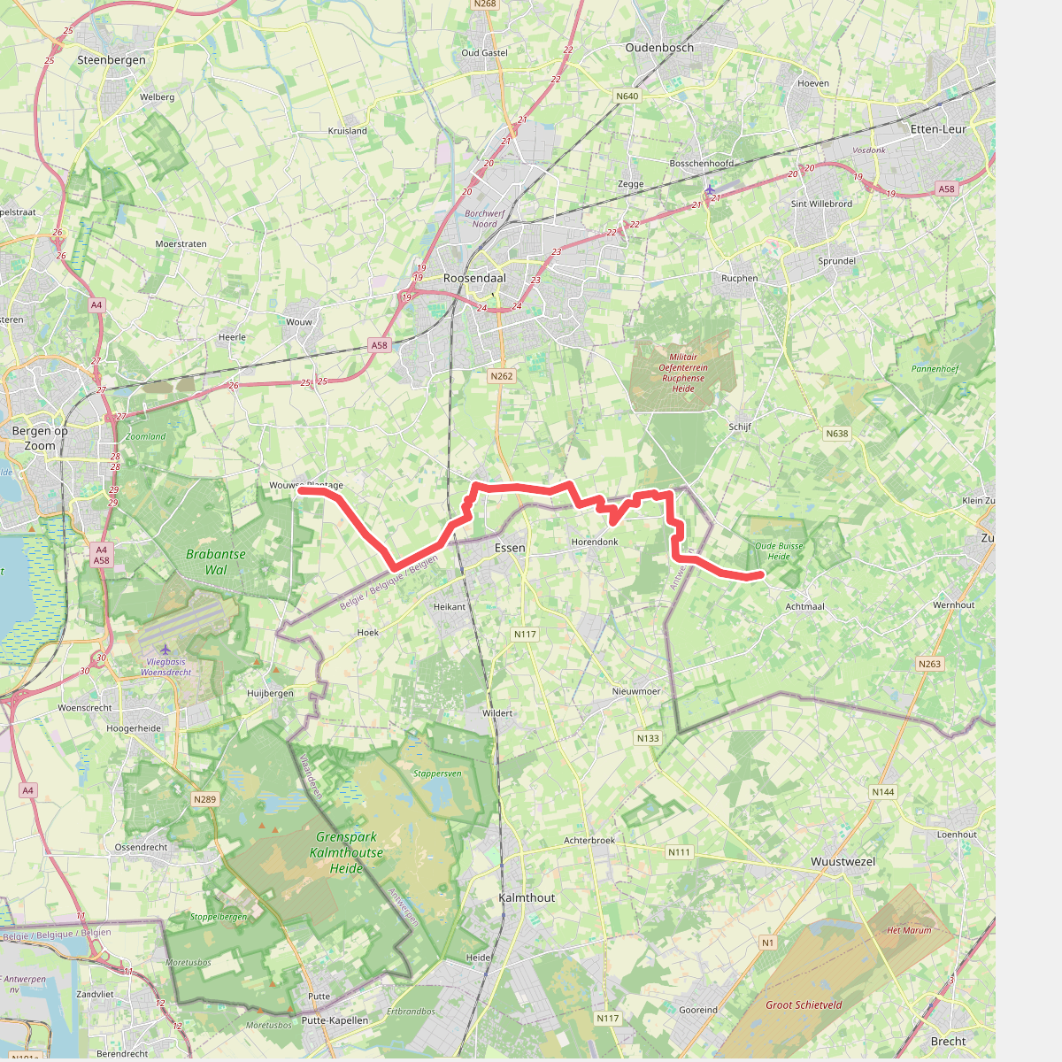
#12. Wouwse Plantage - Achtmaal · Grenslandpad etappe 8
Achtmaal,Schijf,Nispen,Wouwse Plantage



