

The best hiking routes in Parc naturel des deux Ourthes
Discover the best walks in Parc naturel des deux Ourthes. 117 routes on the map, with descriptions, photos and GPX.
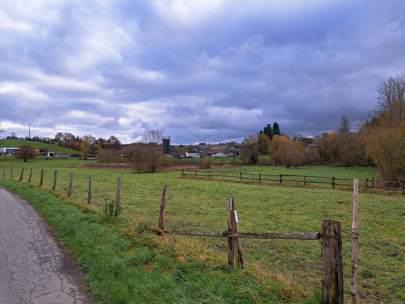
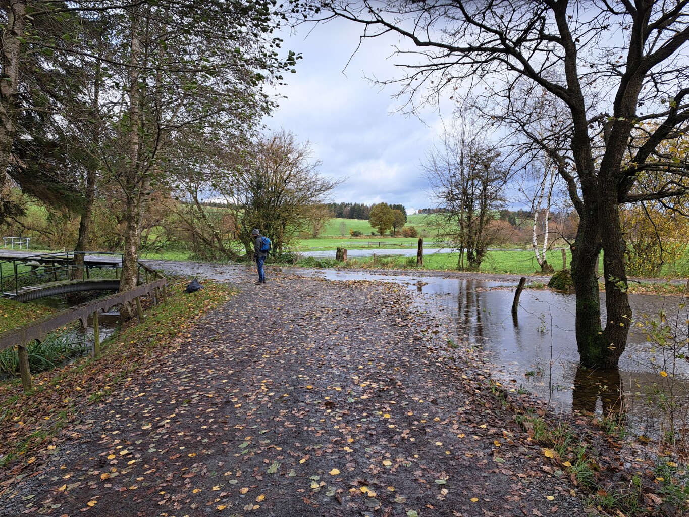
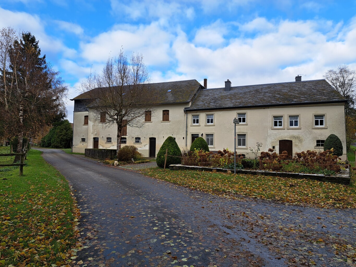
About Parc naturel des deux Ourthes
The Parc naturel des deux Ourthes is defined by the deep, winding valleys carved by the East and West Ourthe branches, which meet near Herou. Unlike flatter plateau parks, this area forces walkers to navigate steep, rocky slopes covered in dense oak and beech forests. The high plateau sections present a completely different landscape of peat bogs and wet heathland, particularly around Tailles, where the soil is acidic and poorly drained.
Read more
About Parc naturel des deux Ourthes
The Parc naturel des deux Ourthes is defined by the deep, winding valleys carved by the East and West Ourthe branches, which meet near Herou. Unlike flatter plateau parks, this area forces walkers to navigate steep, rocky slopes covered in dense oak and beech forests. The high plateau sections present a completely different landscape of peat bogs and wet heathland, particularly around Tailles, where the soil is acidic and poorly drained.
Read moreThe Parc naturel des deux Ourthes is defined by the deep, winding valleys carved by the East and West Ourthe branches, which meet near Herou. Unlike flatter plateau parks, this area forces walkers to navigate steep, rocky slopes covered in dense oak and beech forests. The high plateau sections present a completely different landscape of peat bogs and wet heathland, particularly around Tailles, where the soil is acidic and poorly drained.
Underfoot, the terrain changes quickly. Valley paths are often narrow, stony, and crossed by exposed tree roots, requiring careful footwork. On the higher plateaus, you will walk on wide, grassy forest tracks or wooden boardwalks designed to protect the fragile peat soils from erosion. The elevation changes are constant but manageable, with no alpine peaks, offering instead a sequence of sharp descents to the riverbanks followed by steady climbs back to the agricultural plateaus.
In May, the valley floors are marked by fresh green beech leaves and wild flowers, while the higher peat areas remain pale and dormant longer into the spring. The most popular viewpoints, such as the rocky ridge of Herou, attract regular visitors, but the deeper forest valleys and the boggy plateau tracks remain quieter options for those seeking a more solitary walk.
Hiking routes in Parc naturel des deux Ourthes (117)
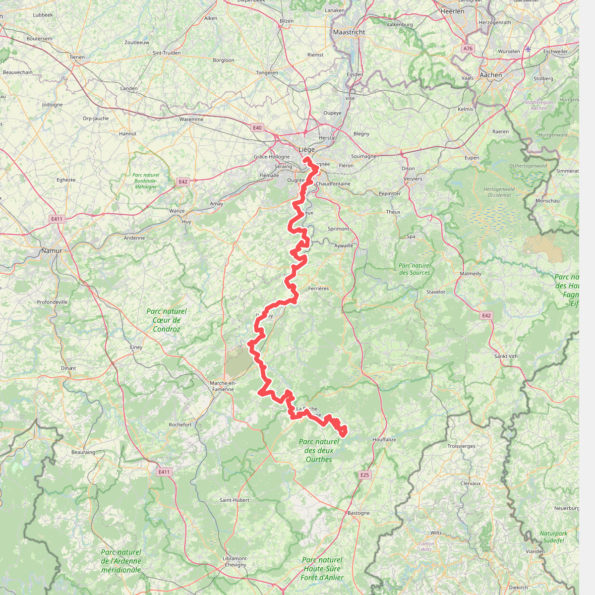
#1. Gr57
Liège,Esneux,Neupré,Anthisnes,Comblain-au-Pont,Hamoir,Durbuy,Hotton,Rendeux,Marche-en-Famenne,Hodister,Marcourt,Halleux,Beausaint,La Roche-en-Ardenne,Ortho,Samrée,Nadrin
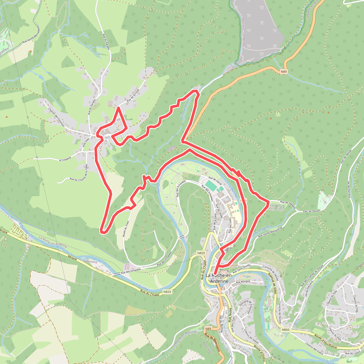
#2. 1. Cielle
La Roche-en-Ardenne
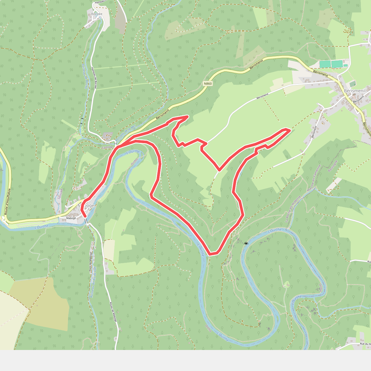
#3. 1. Crestelles
Samrée
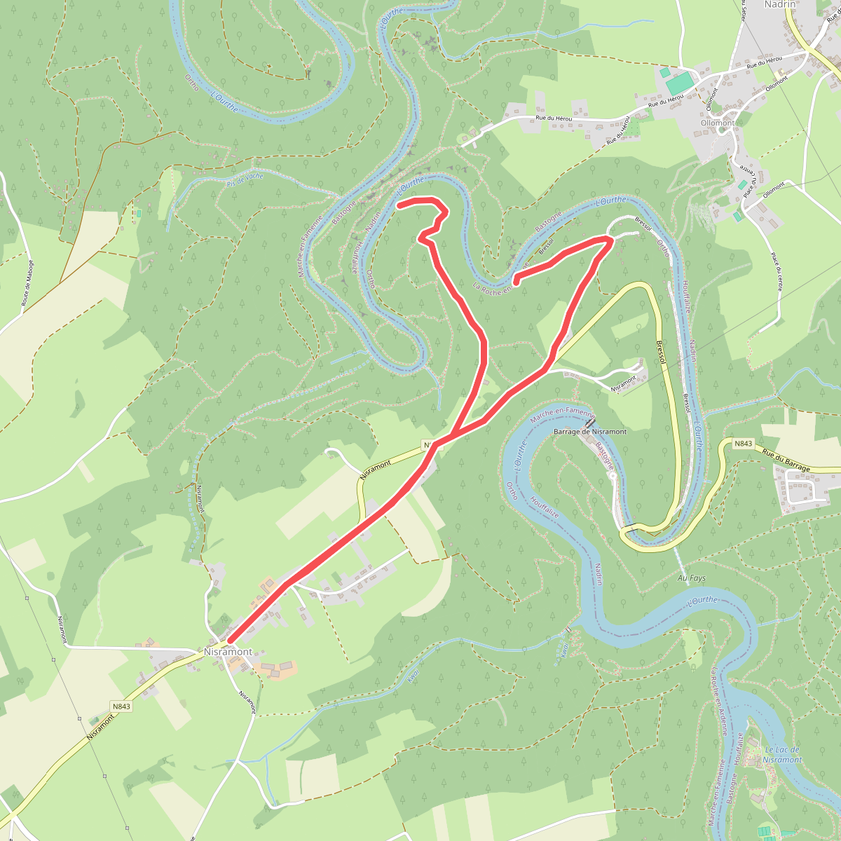
#4. 1. Le Herou
Ortho
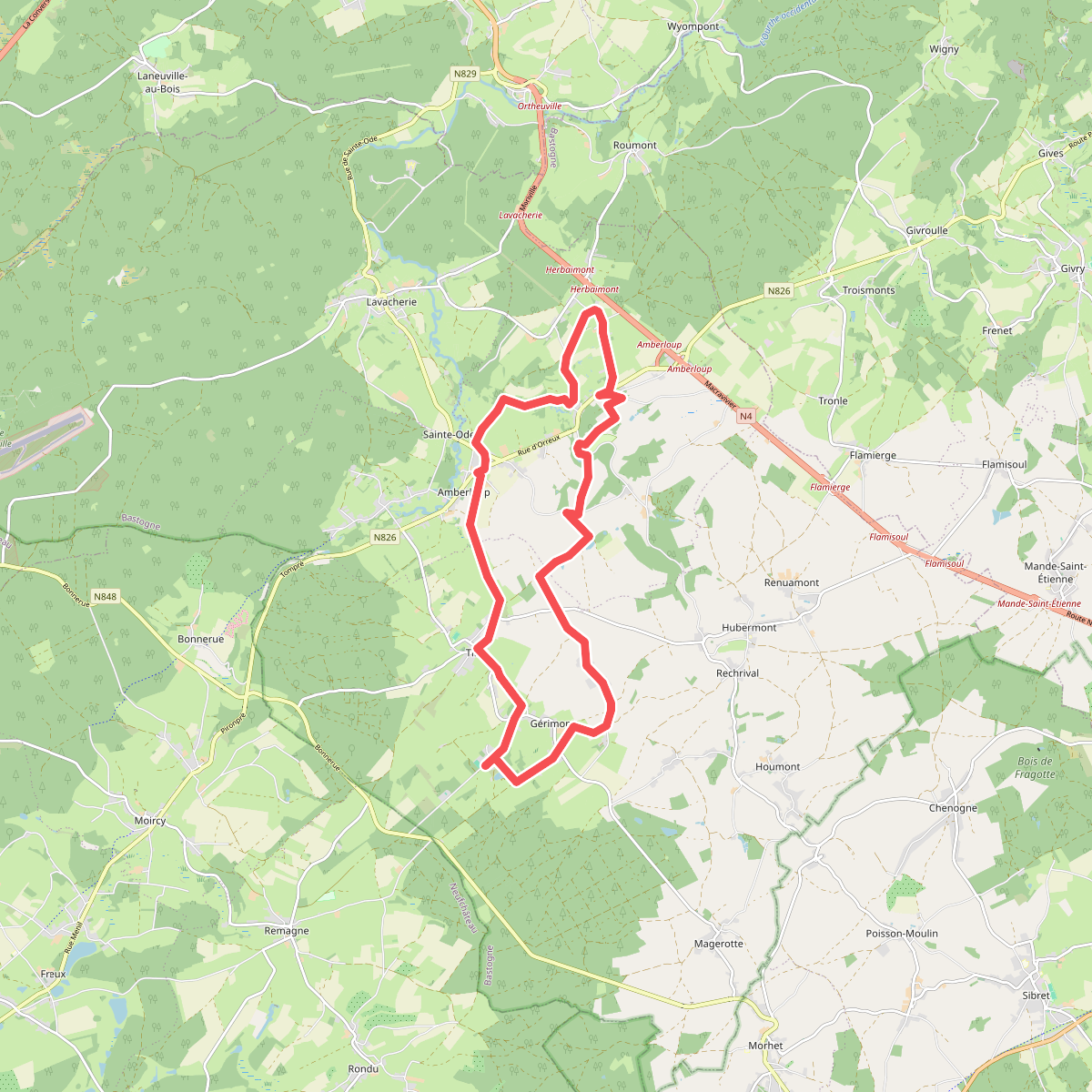
#5. 1. Le sentier de la Girolle
Tillet,Amberloup
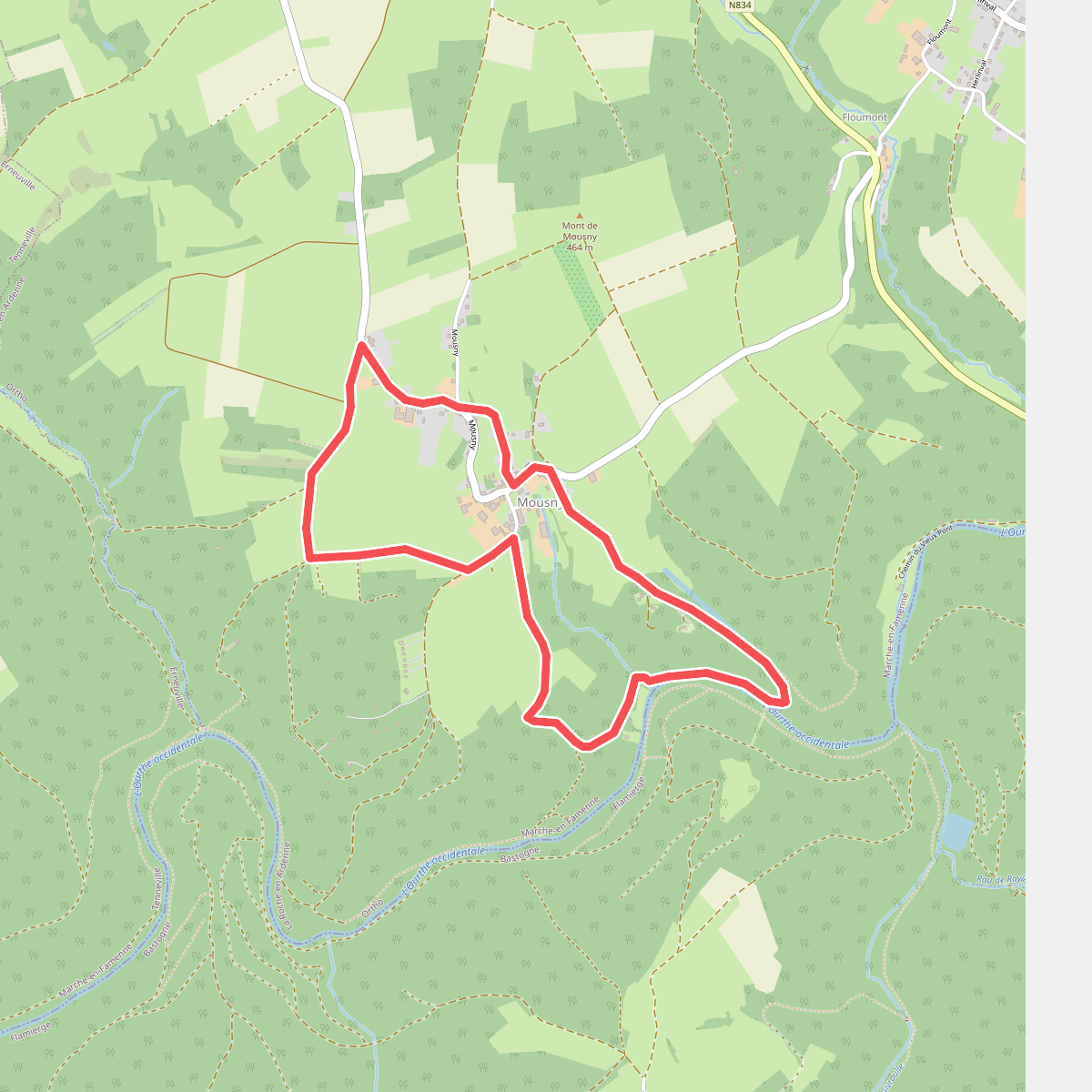
#6. 1. Les Cailloux de Mousny
Ortho
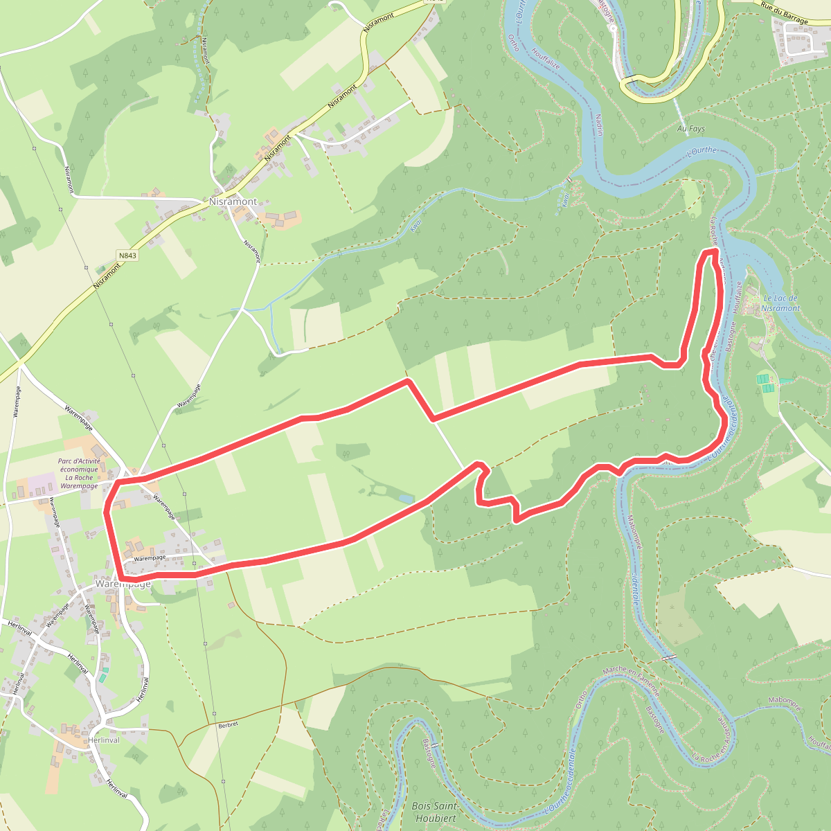
#7. 1. Les Deux Ourthes
Ortho
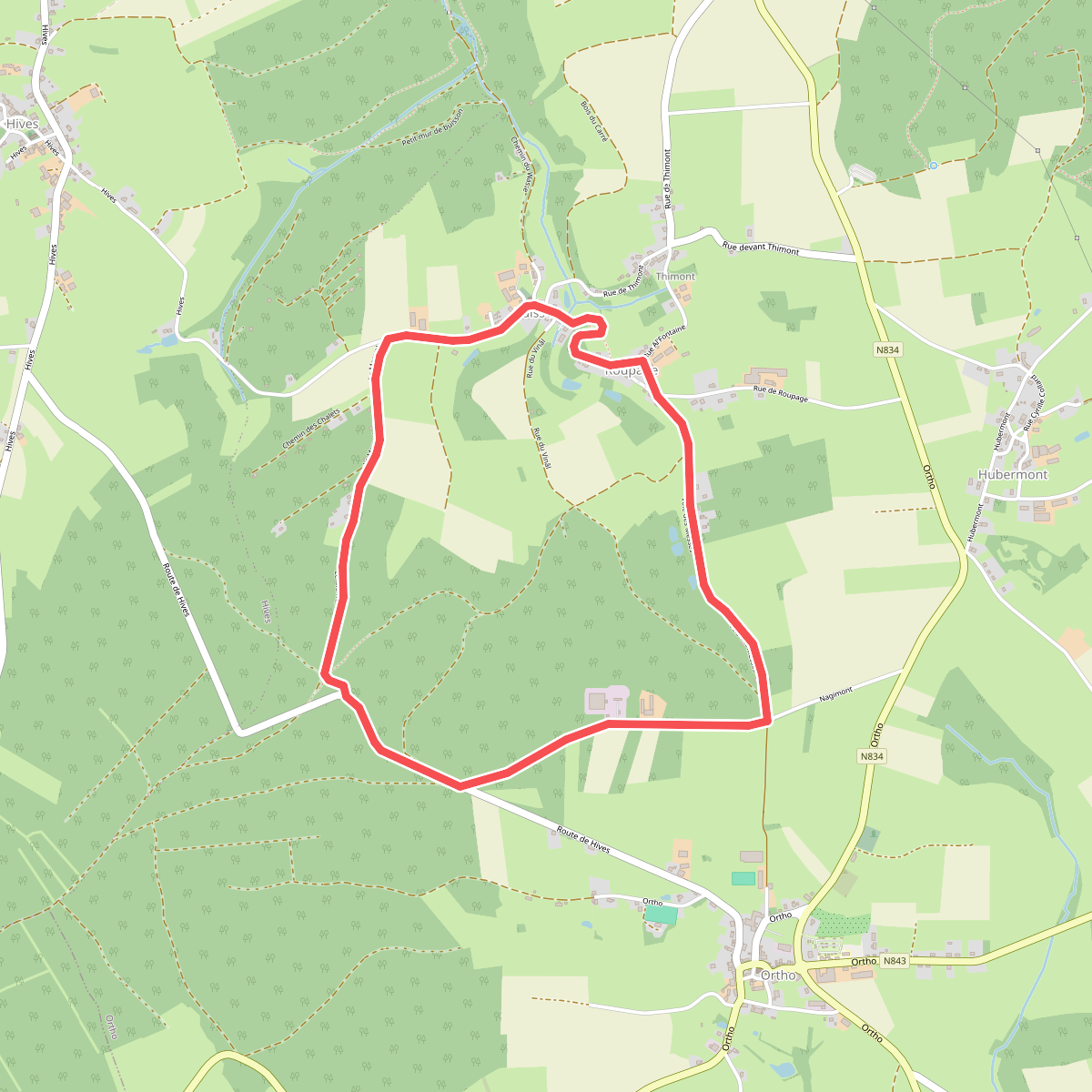
#8. 1. Nagimont
Ortho
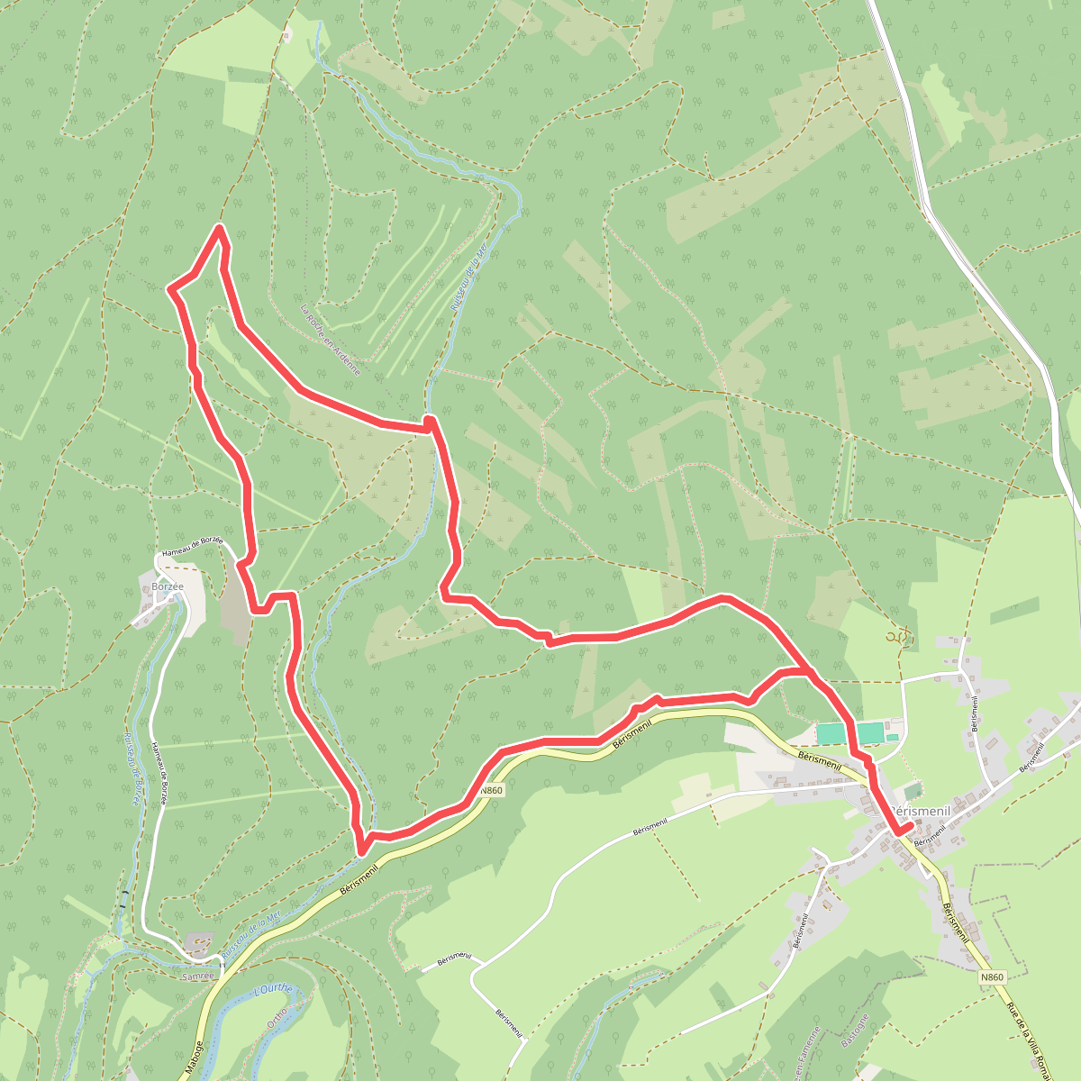
#9. 1. Pré du Bec
La Roche-en-Ardenne,Samrée
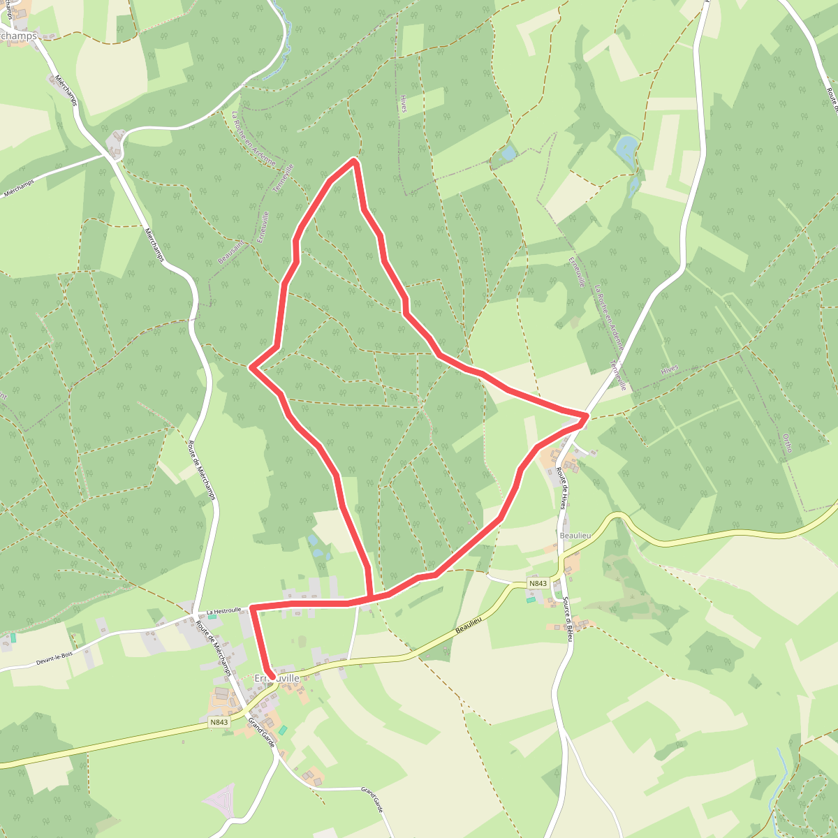
#10. 1. Promenade des Maquisards
Erneuville
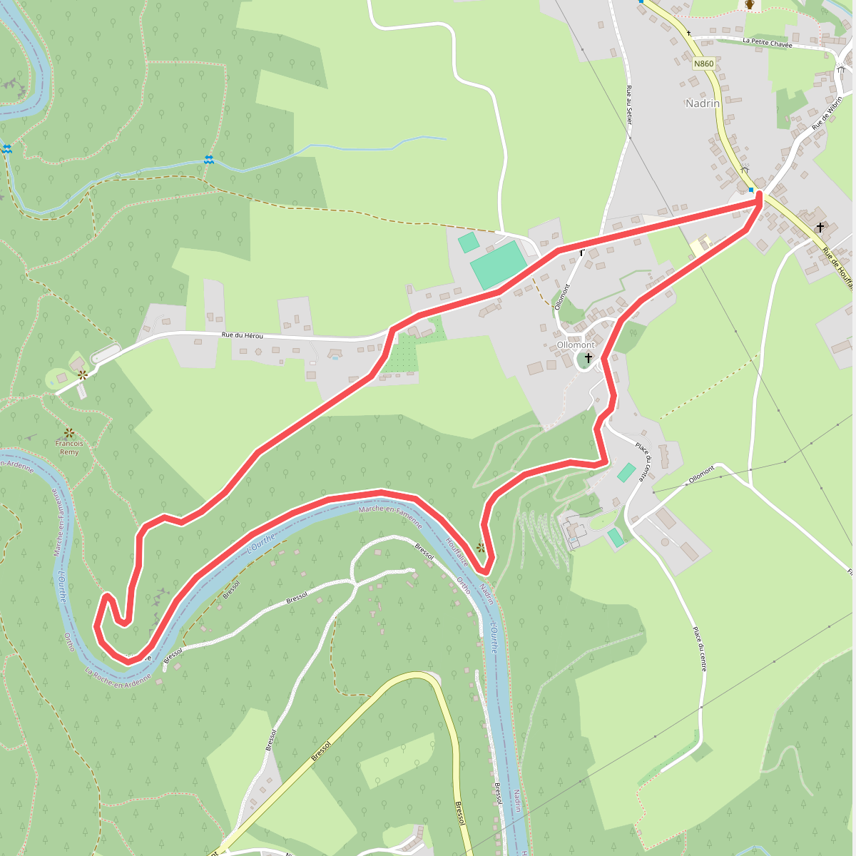
#11. 10. Cresse Ste Marguerite
Nadrin
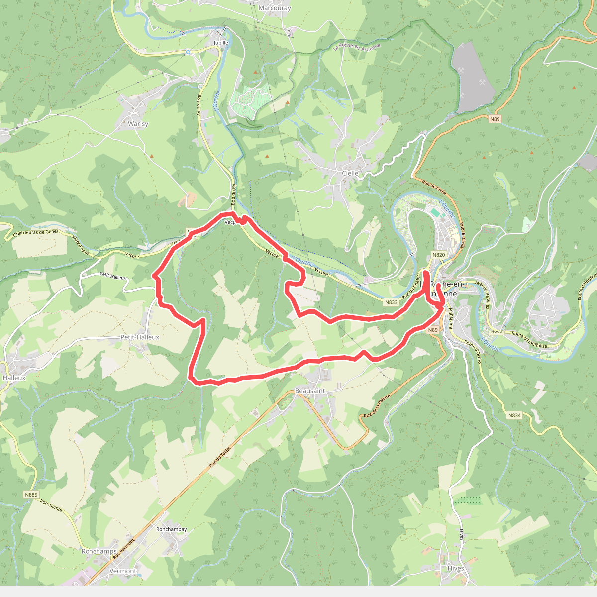
#12. 10. Fond de Pouhou
La Roche-en-Ardenne,Beausaint,Halleux,Hodister



