

The best hiking routes in Parc naturel de l'Ardenne méridionale
Discover the best walks in Parc naturel de l'Ardenne méridionale. 114 routes on the map, with descriptions, photos and GPX.
About Parc naturel de l'Ardenne méridionale
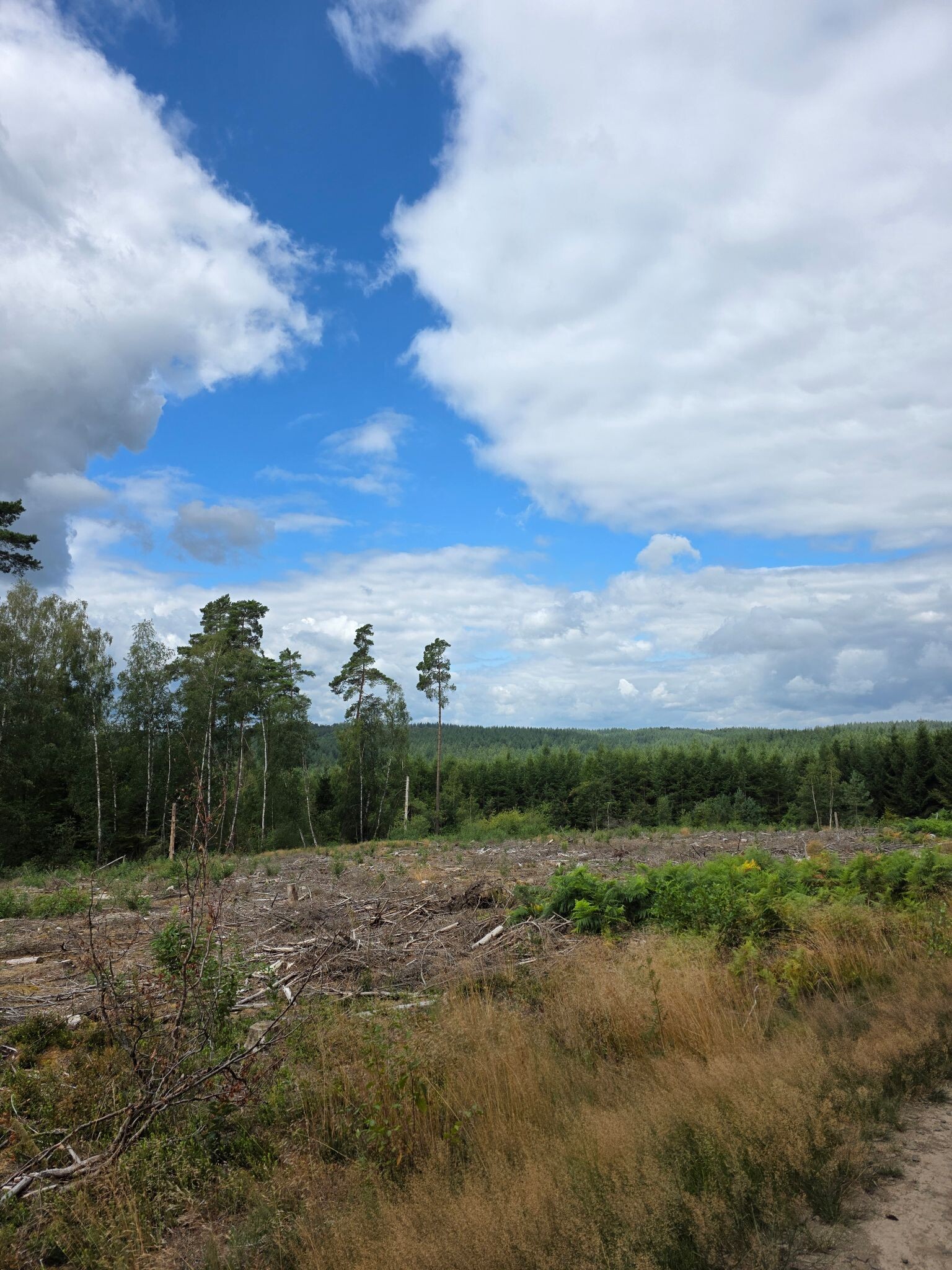
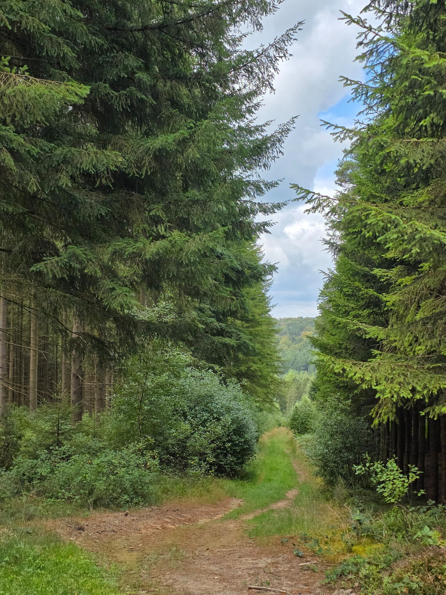
The Parc naturel de l'Ardenne m ridionale occupies a lower, gentler portion of the southern Belgian Ardennes, characterized by a transition from wide agricultural plateaus to steep, wooded valleys carved by the Semois river and its tributaries. Unlike the higher, peat-dominated fens further north, this landscape is defined by dense deciduous and coniferous forests, interspersed with small-scale pastures. Walkers will notice how the underlying slate and sandstone geology shapes the terrain, creating sharp ridges and rocky outcrops where rivers have cut deep into the bedrock.
Read more
About Parc naturel de l'Ardenne méridionale
The Parc naturel de l'Ardenne m ridionale occupies a lower, gentler portion of the southern Belgian Ardennes, characterized by a transition from wide agricultural plateaus to steep, wooded valleys carved by the Semois river and its tributaries. Unlike the higher, peat-dominated fens further north, this landscape is defined by dense deciduous and coniferous forests, interspersed with small-scale pastures. Walkers will notice how the underlying slate and sandstone geology shapes the terrain, creating sharp ridges and rocky outcrops where rivers have cut deep into the bedrock.
Read moreThe Parc naturel de l'Ardenne m ridionale occupies a lower, gentler portion of the southern Belgian Ardennes, characterized by a transition from wide agricultural plateaus to steep, wooded valleys carved by the Semois river and its tributaries. Unlike the higher, peat-dominated fens further north, this landscape is defined by dense deciduous and coniferous forests, interspersed with small-scale pastures. Walkers will notice how the underlying slate and sandstone geology shapes the terrain, creating sharp ridges and rocky outcrops where rivers have cut deep into the bedrock.
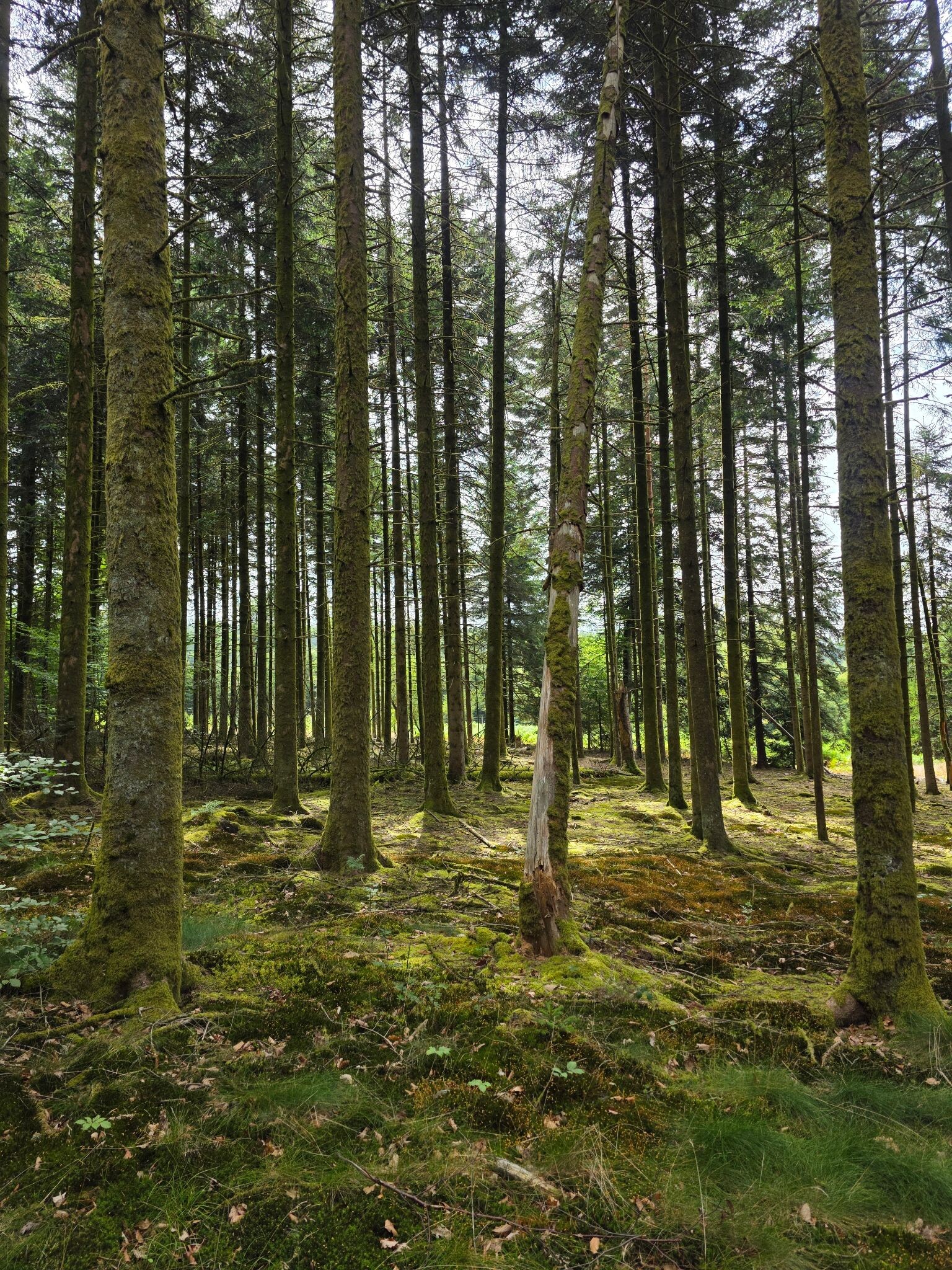
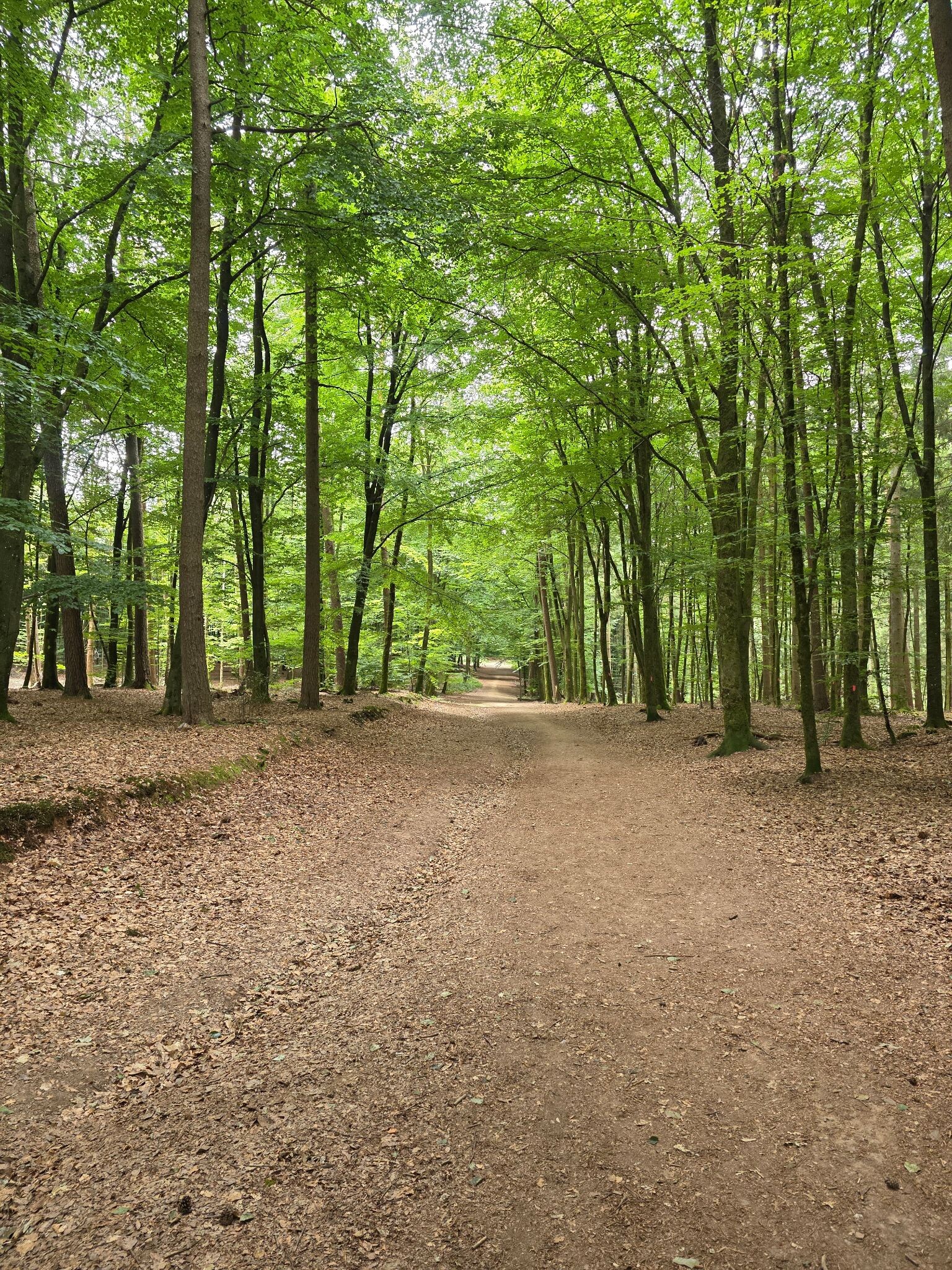
Underfoot, the trails vary from soft, needle-strewn earthen paths under the spruce canopies to stony, slate-strewn tracks that climb the valley sides. In the wetter valley bottoms, particularly near the river bends, the ground can be muddy, while the higher ridges offer firmer, drier footing. The forest structure changes visibly as you walk, moving from dark, managed pine plantations to ancient oak and hornbeam stands that cling to the steeper slopes.
This area is best suited for those who prefer intimate, enclosed forest walks and quiet river valleys rather than wide-open mountain vistas. While popular spots near the Semois riverbanks can draw more visitors, especially during the autumn leaf change in October, the deeper forest trails remain quiet. There are no high peaks here, but the constant short, steep climbs out of the valleys require steady footwork.
Hiking routes in Parc naturel de l'Ardenne méridionale (114)
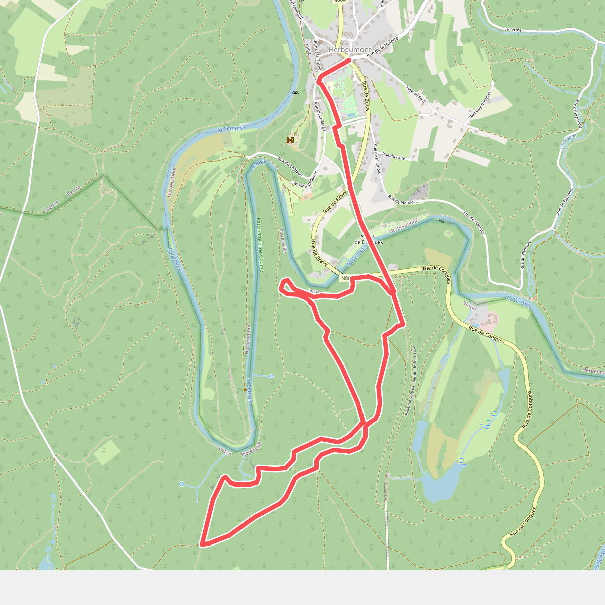
#1. 1. Panoramas sur le Semois
Herbeumont,Sainte-Cécile
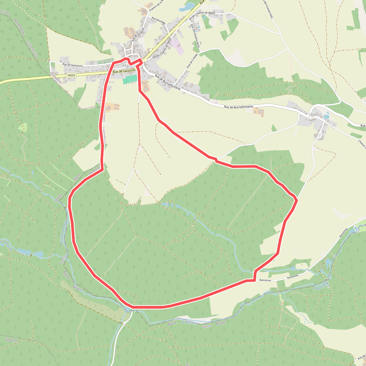
#2. 1. Proiji
Haut-Fays
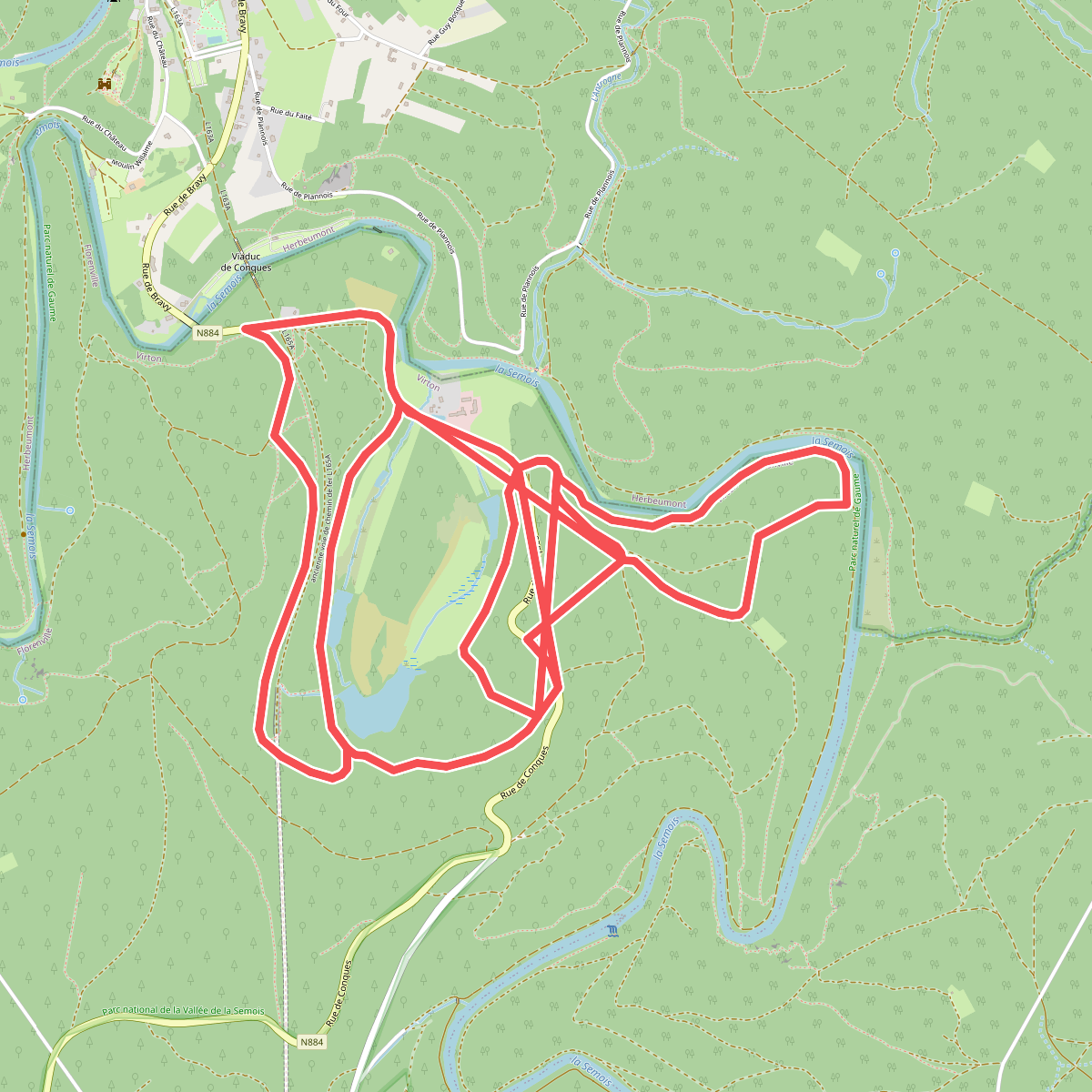
#3. 14. Les Étangs de Conques
Sainte-Cécile
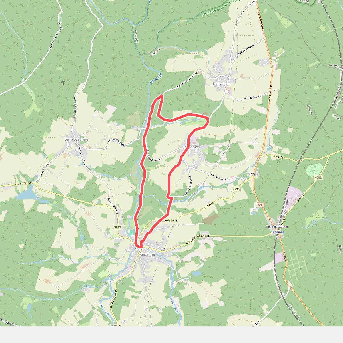
#4. 2. Le Moulin de la galette
Patignies,Gedinne
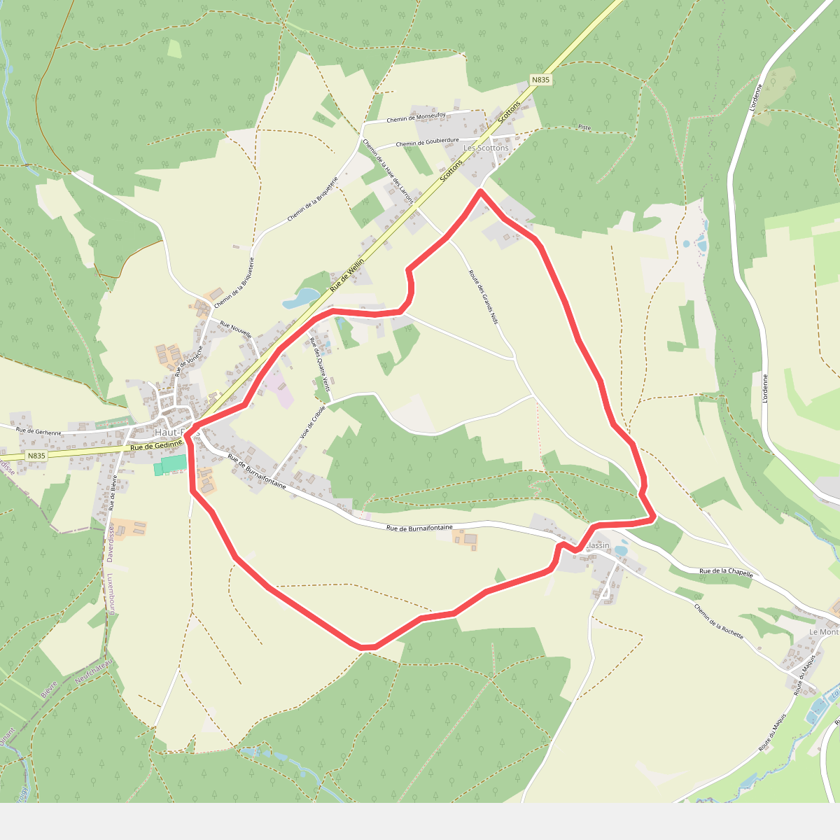
#5. 2. Sclassin
Haut-Fays
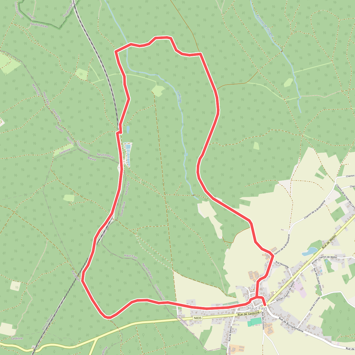
#6. 3. Gerhenne
Haut-Fays,Bièvre
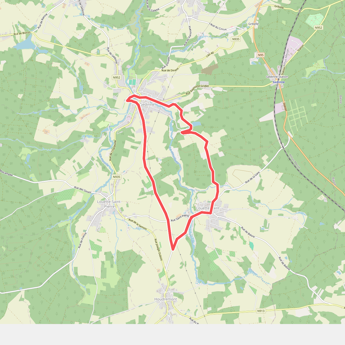
#7. 4. Haillette
Louette-Saint-Denis,Houdremont,Gedinne
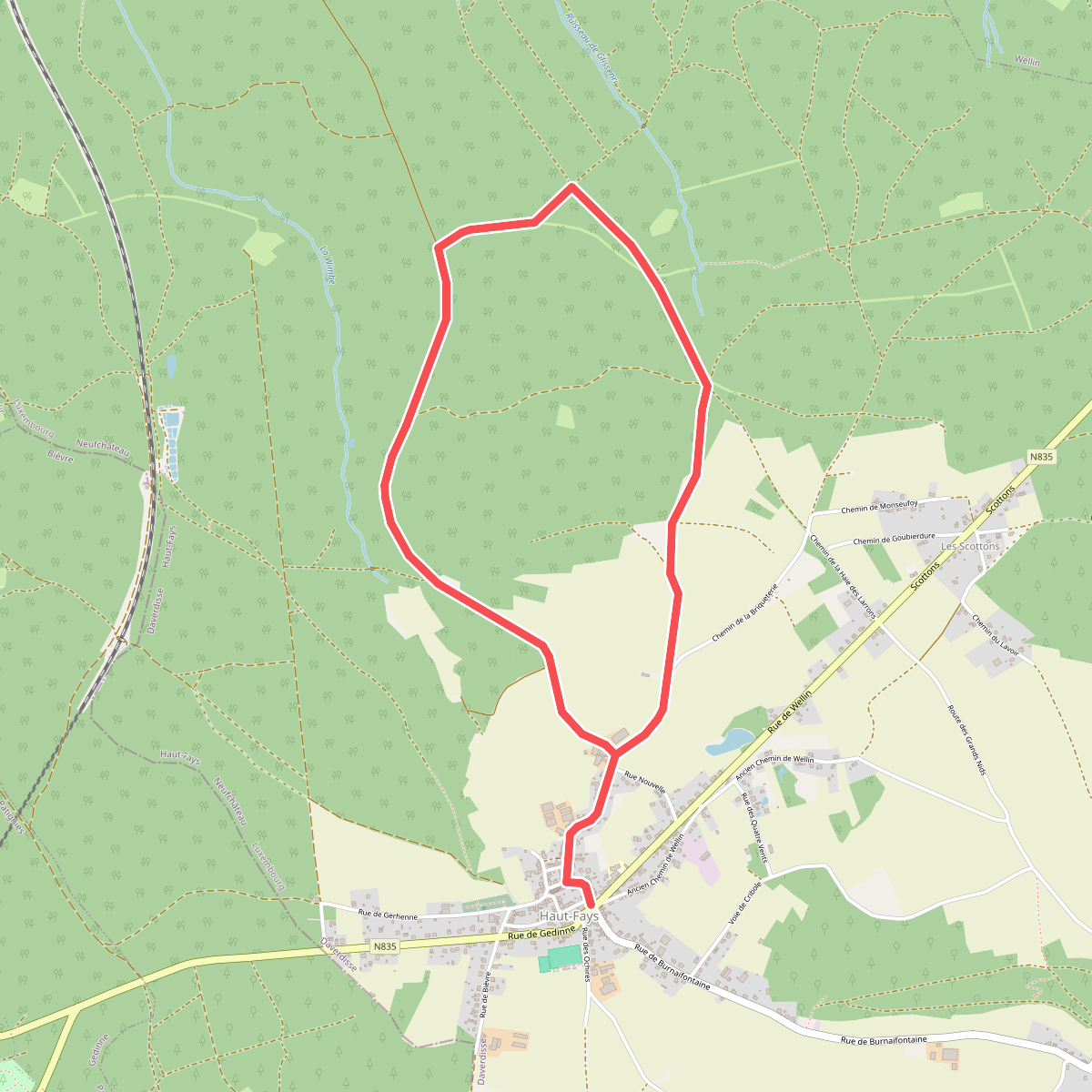
#8. 4. Les Buttays
Haut-Fays
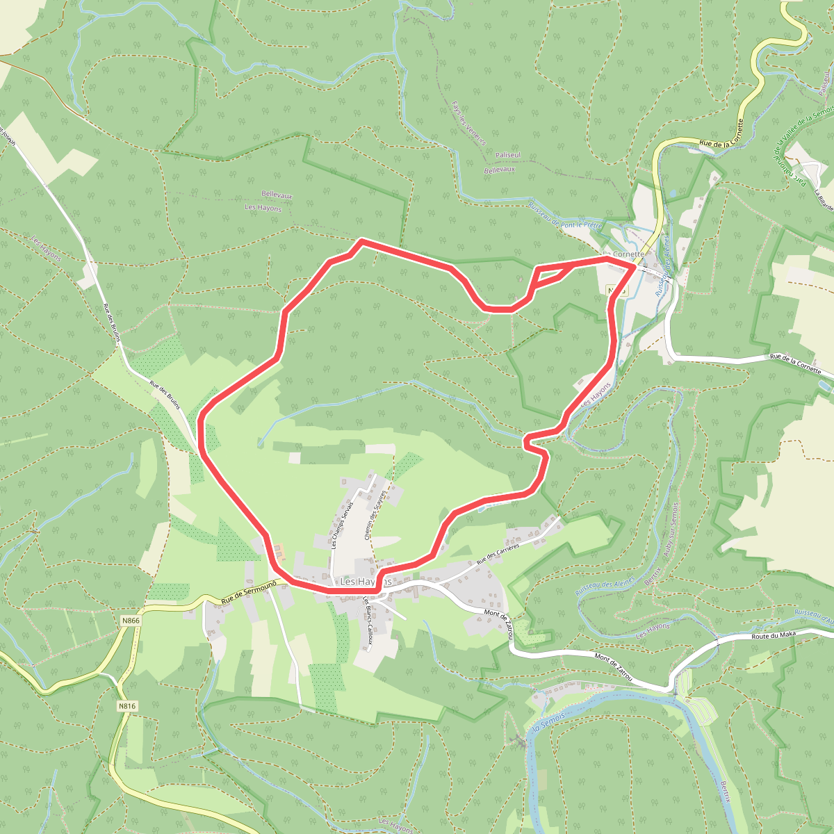
#9. 48 Promenade des Hautes Voies (Les Hayons, Bouillon)
Les Hayons,Bellevaux
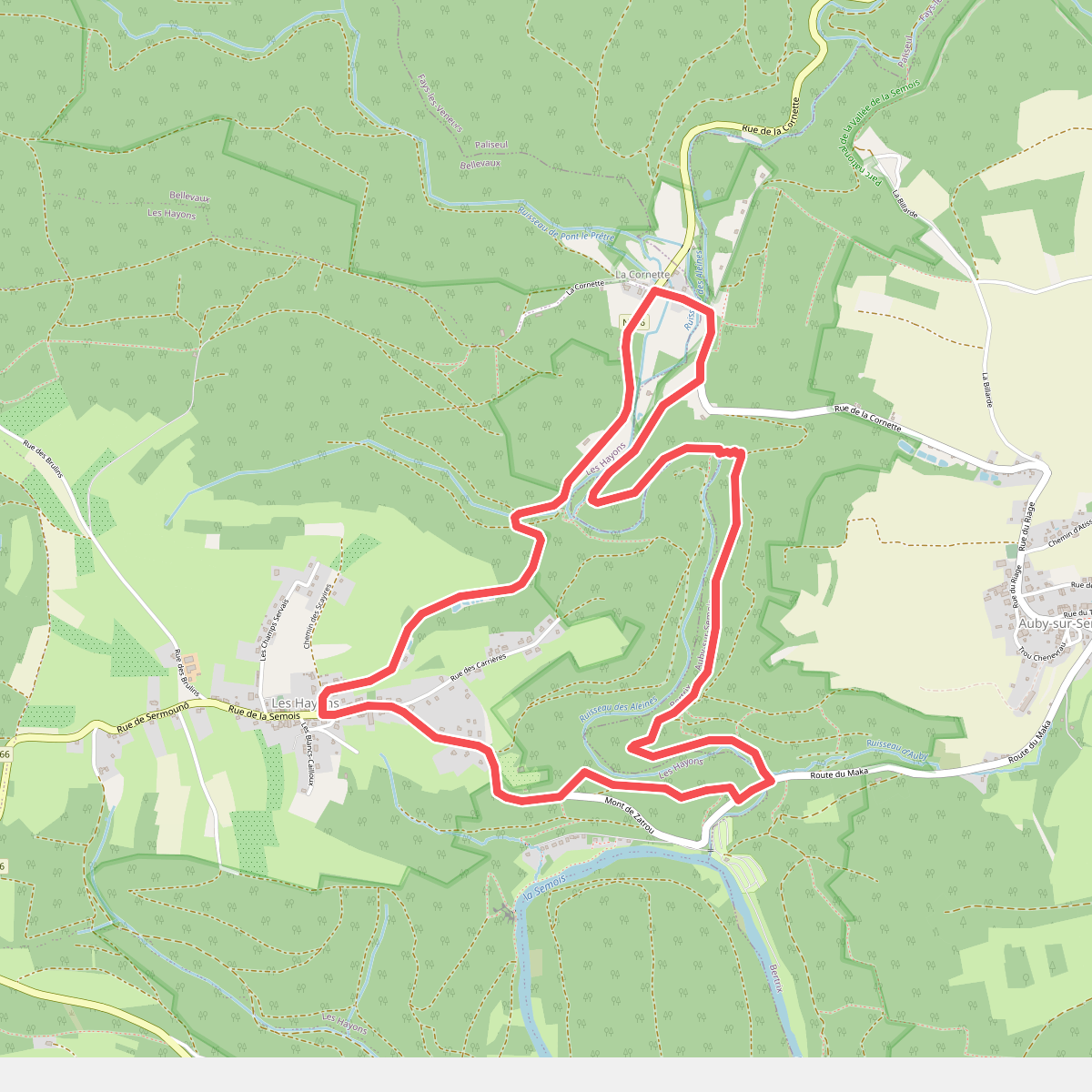
#10. 49 Promenade de la Roche à Colas (Les Hayons, Bouillon)
Bellevaux,Les Hayons,Auby-sur-Semois
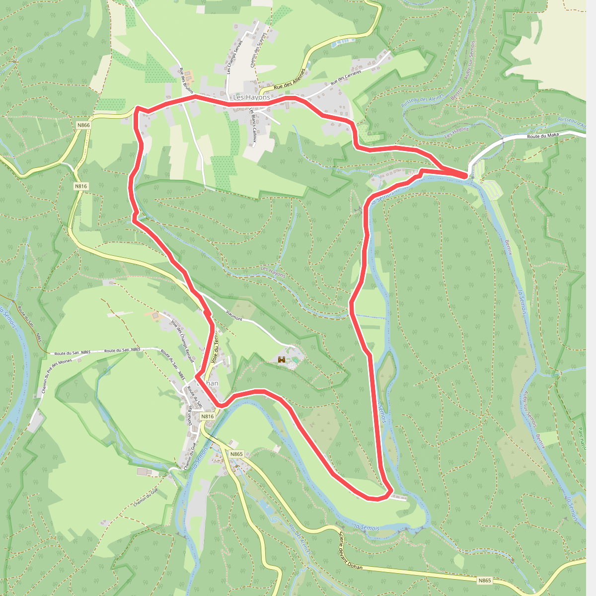
#11. 50 Promenade de Dohan (Les Hayons, Bouillon)
Dohan,Les Hayons
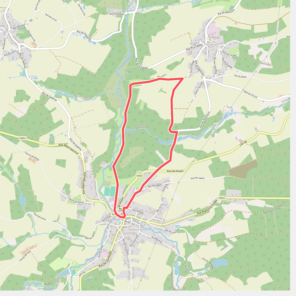
#12. 6. Chersi
Gedinne,Patignies



