

The best hiking routes in Parc national de la Vallée de la Semois
Discover the best walks in Parc national de la Vallée de la Semois. 85 routes on the map, with descriptions, photos and GPX.
About Parc national de la Vallée de la Semois
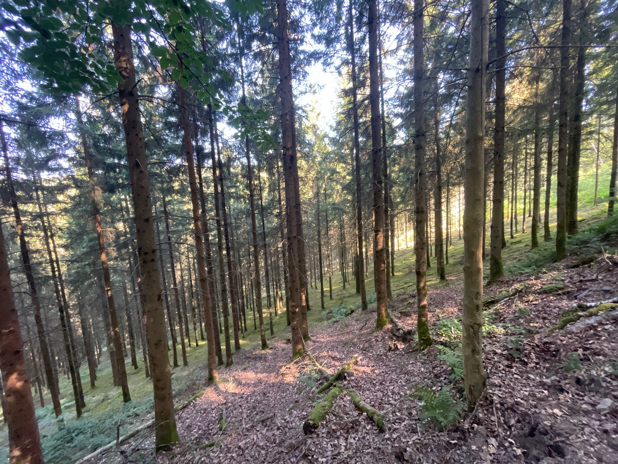
Parc national de la Vallée de la Semois is defined by the tight, looping bends of the Semois River as it cuts through a dense slate plateau. Unlike flatter forest parks, walking here involves constant transitions between the damp, shaded riverbanks and the dry, oak-covered ridges above. The elevation changes are short but steep, taking you from riverside meadows up to rocky promontories that overlook the loops of the water. Underfoot, the paths alternate between soft alluvial soil near the riverbed and stony, slate-strewn tracks on the climbs.
Read more
About Parc national de la Vallée de la Semois
Parc national de la Vallée de la Semois is defined by the tight, looping bends of the Semois River as it cuts through a dense slate plateau. Unlike flatter forest parks, walking here involves constant transitions between the damp, shaded riverbanks and the dry, oak-covered ridges above. The elevation changes are short but steep, taking you from riverside meadows up to rocky promontories that overlook the loops of the water. Underfoot, the paths alternate between soft alluvial soil near the riverbed and stony, slate-strewn tracks on the climbs.
Read moreParc national de la Vallée de la Semois is defined by the tight, looping bends of the Semois River as it cuts through a dense slate plateau. Unlike flatter forest parks, walking here involves constant transitions between the damp, shaded riverbanks and the dry, oak-covered ridges above. The elevation changes are short but steep, taking you from riverside meadows up to rocky promontories that overlook the loops of the water. Underfoot, the paths alternate between soft alluvial soil near the riverbed and stony, slate-strewn tracks on the climbs.
The landscape reveals its geological structure directly on the trail. You will frequently walk past exposed schist cliffs and old slate quarry ruins, which explain the sharp, angular nature of the ridges. The vegetation changes rapidly with the topography: dense ferns and mosses thrive in the humid valley bottom, while hardy sessile oaks and broom dominate the drier, wind-exposed crests. In October, the deciduous canopy turns a deep rust color, contrasting sharply with the dark grey rock faces.
This park is best suited for those who enjoy rugged, undulating terrain rather than long, flat stretches. While the riverbanks offer level walking, reaching the viewpoints requires navigating narrow, root-crossed paths and occasional metal ladders built into the rock. The most famous bends can attract many visitors, but the steep connecting trails through the hanging forests remain much quieter.
Hiking routes in Parc national de la Vallée de la Semois (85)
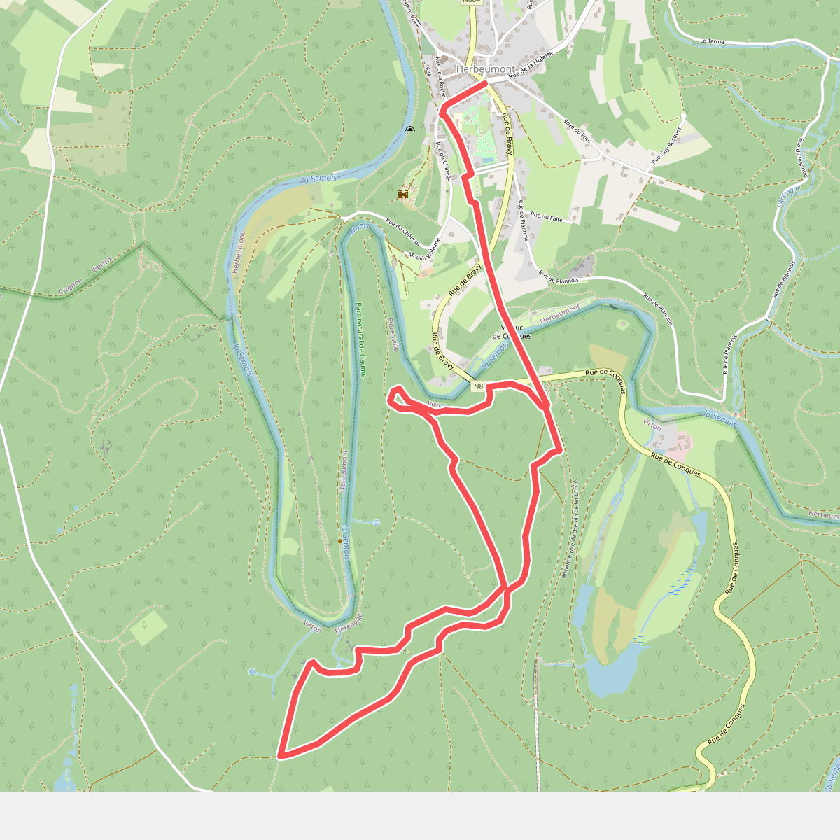
#1. 1. Panoramas sur le Semois
Herbeumont,Sainte-Cécile
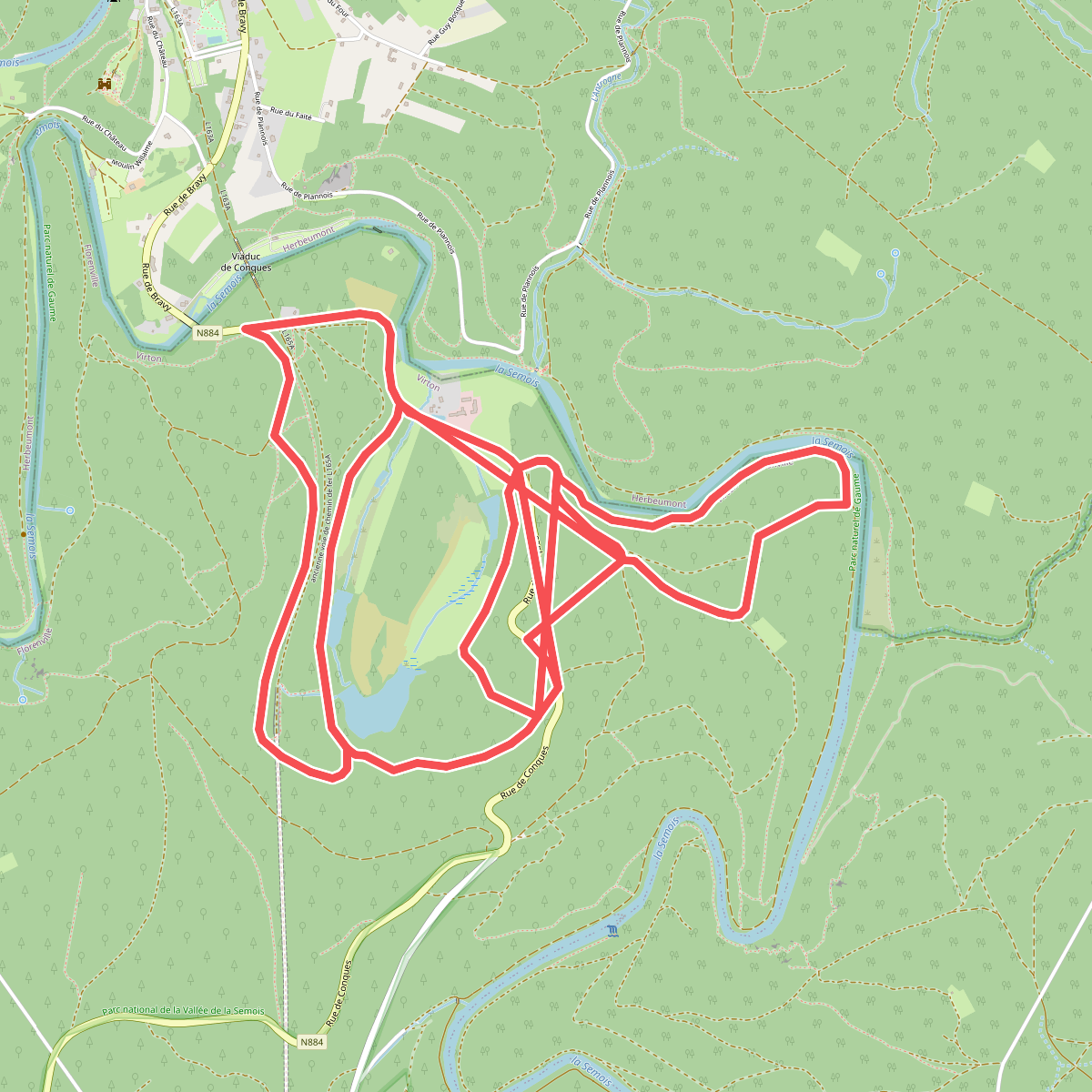
#2. 14. Les Étangs de Conques
Sainte-Cécile
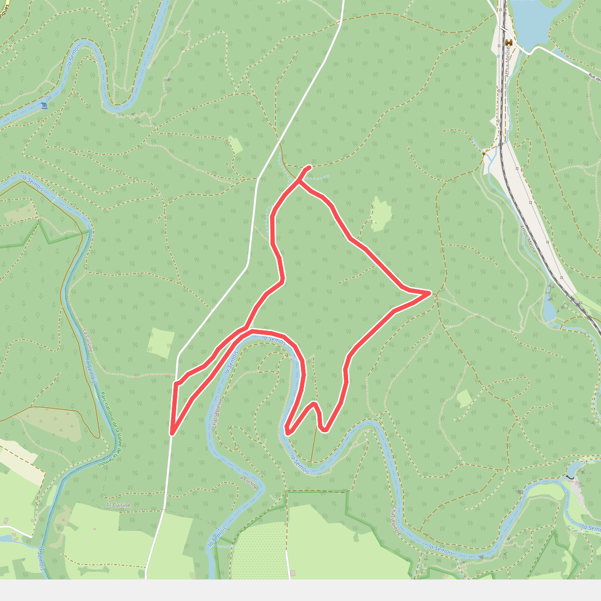
#3. 17 Chassepierre - Roche Perette
La Cuisine
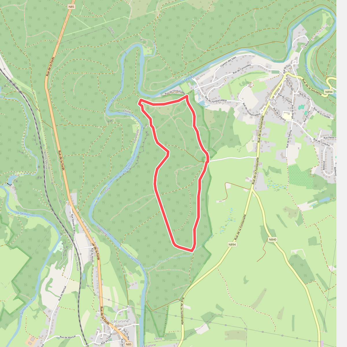
#4. 25 Lacuisine - Rocher du Hât
Chiny
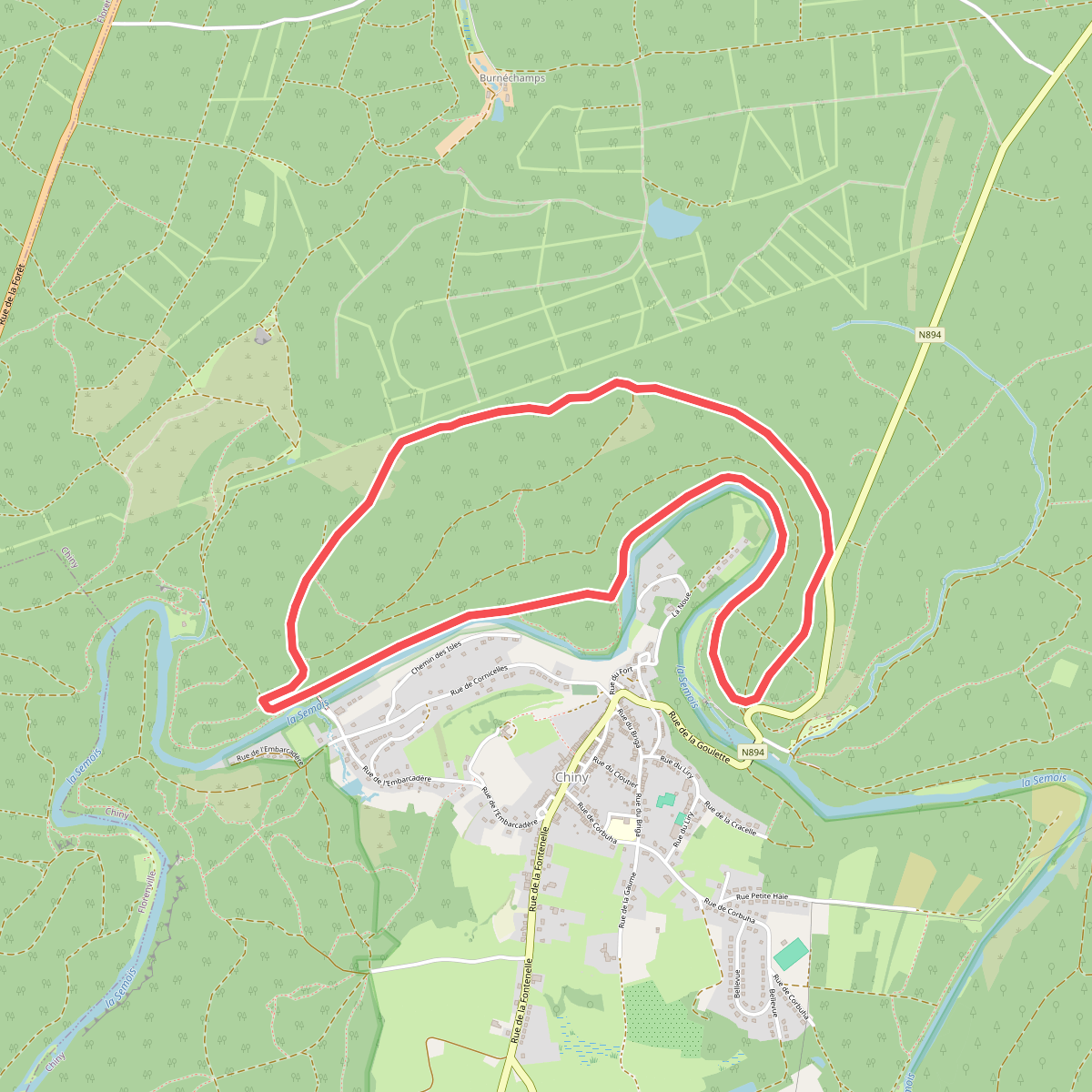
#5. 29 Chiny - Les Aisances
Chiny
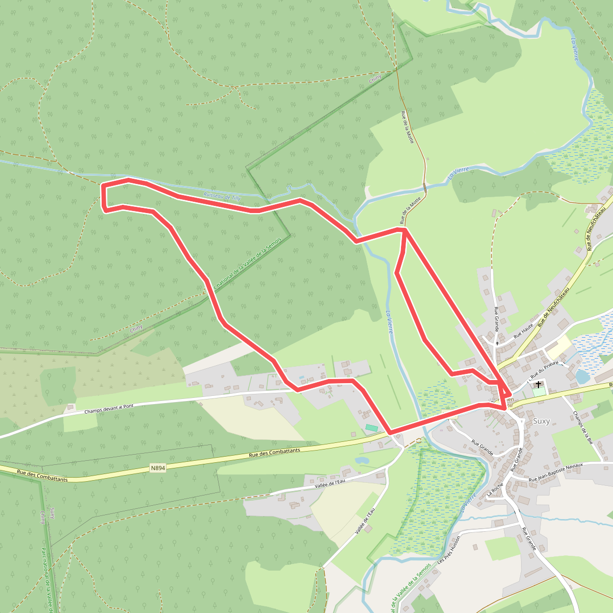
#6. 35. Fond de la Moye
Suxy,Chiny
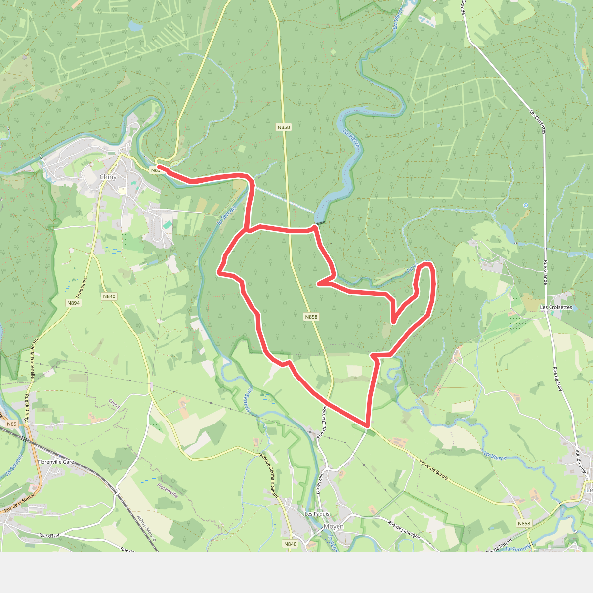
#7. 36. Le Charmois
Chiny,Izel
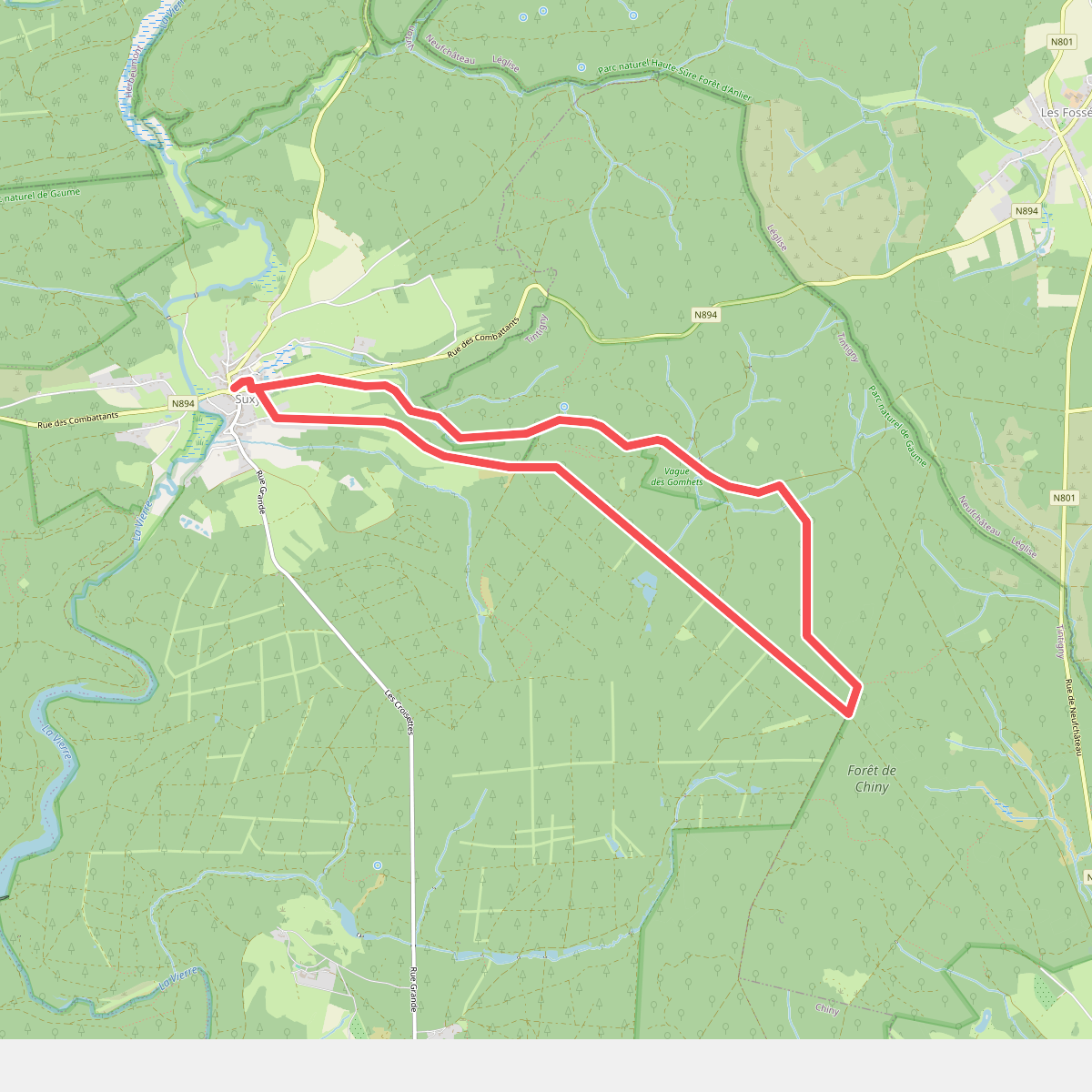
#8. 46. Le Vague des Gomhets
Suxy,Rossignol
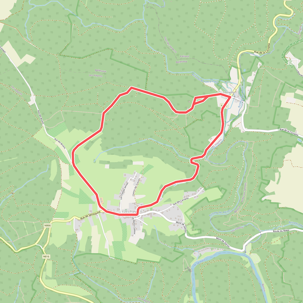
#9. 48 Promenade des Hautes Voies (Les Hayons, Bouillon)
Les Hayons,Bellevaux
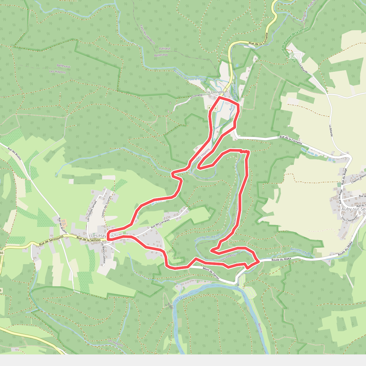
#10. 49 Promenade de la Roche à Colas (Les Hayons, Bouillon)
Bellevaux,Les Hayons,Auby-sur-Semois
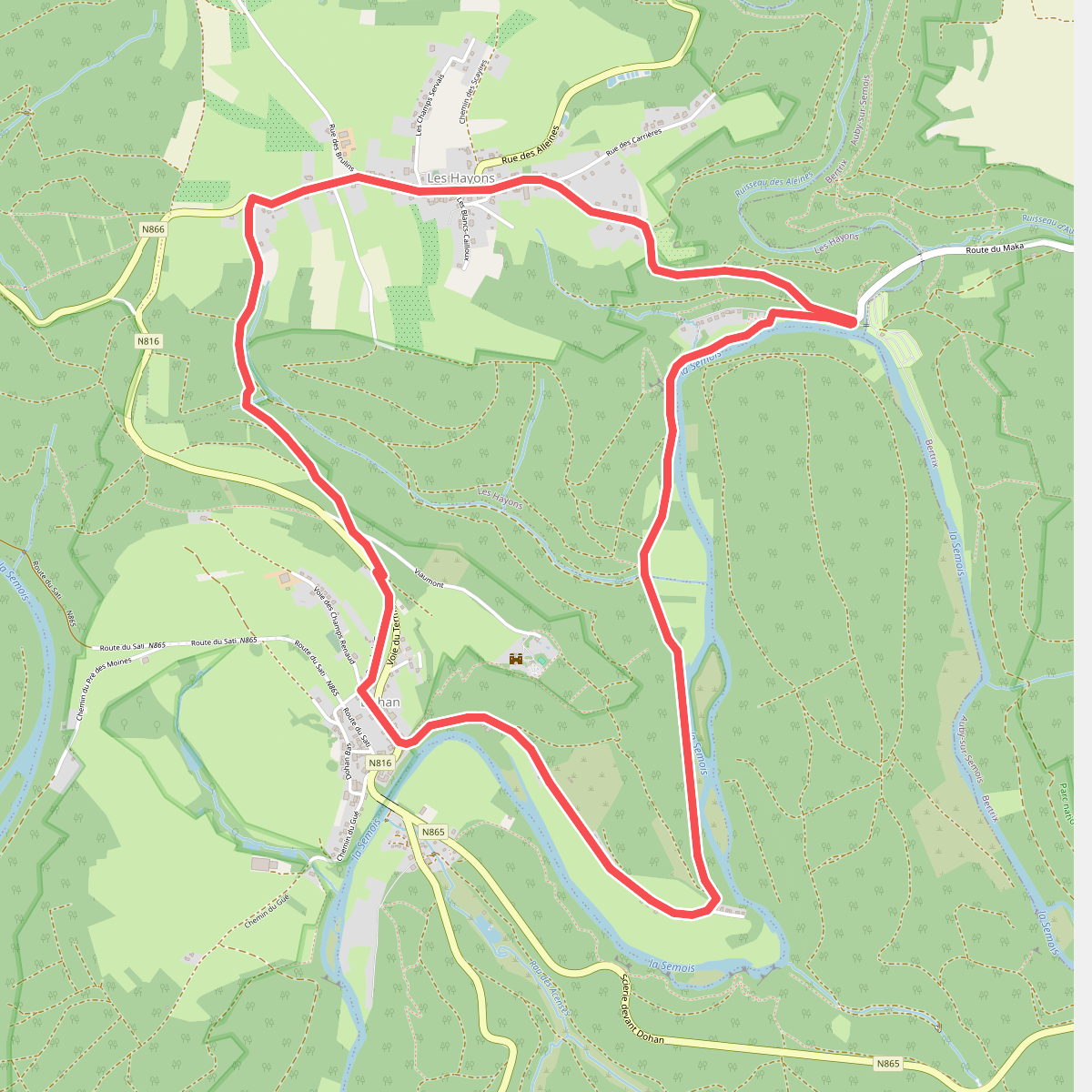
#11. 50 Promenade de Dohan (Les Hayons, Bouillon)
Dohan,Les Hayons
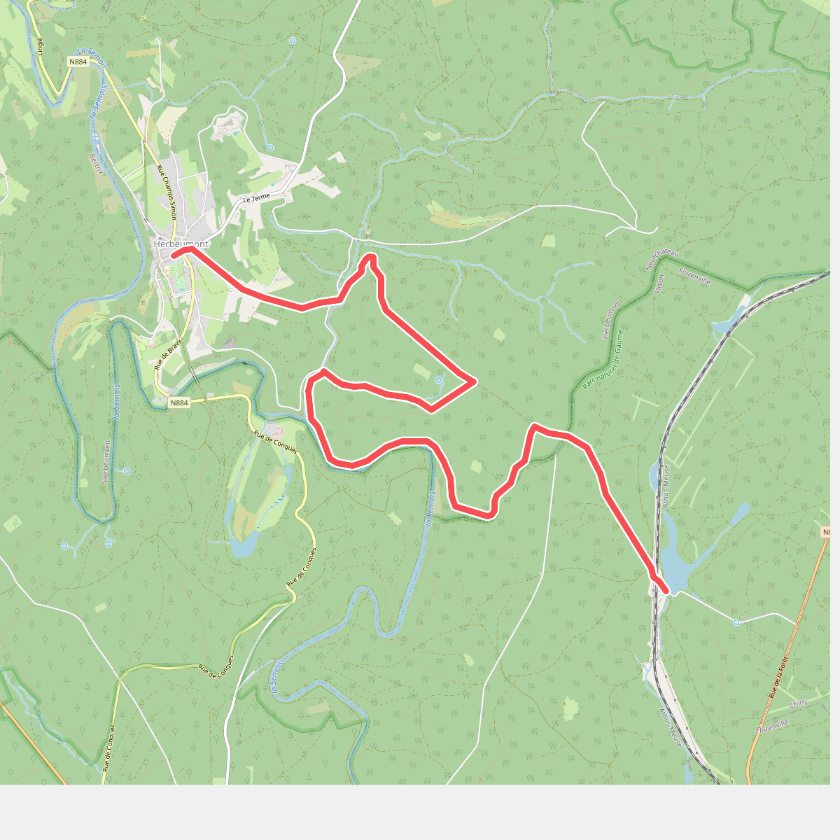
#12. 61. Les Epioux
Herbeumont,La Cuisine



