

The best hiking routes in Parc naturel des Hautes-Fagnes – Eifel
Discover the best walks in Parc naturel des Hautes-Fagnes – Eifel. 35 routes on the map, with descriptions, photos and GPX.
About Parc naturel des Hautes-Fagnes – Eifel
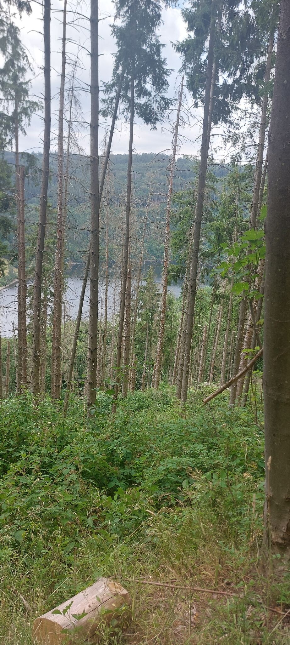
The Parc naturel des Hautes-Fagnes - Eifel is defined by its vast upland peat bogs, heathlands, and dense spruce forests, rather than dramatic peaks or deep gorges. Walking here means traversing a gently undulating plateau where the soil is highly acidic and naturally waterlogged. This high-altitude wetland acts as a giant sponge, feeding numerous small streams that flow down into the surrounding valleys. You will notice the landscape transition sharply between open, windswept peat moors and dark, managed pine plantations.
Read more
About Parc naturel des Hautes-Fagnes – Eifel
The Parc naturel des Hautes-Fagnes - Eifel is defined by its vast upland peat bogs, heathlands, and dense spruce forests, rather than dramatic peaks or deep gorges. Walking here means traversing a gently undulating plateau where the soil is highly acidic and naturally waterlogged. This high-altitude wetland acts as a giant sponge, feeding numerous small streams that flow down into the surrounding valleys. You will notice the landscape transition sharply between open, windswept peat moors and dark, managed pine plantations.
Read moreThe Parc naturel des Hautes-Fagnes - Eifel is defined by its vast upland peat bogs, heathlands, and dense spruce forests, rather than dramatic peaks or deep gorges. Walking here means traversing a gently undulating plateau where the soil is highly acidic and naturally waterlogged. This high-altitude wetland acts as a giant sponge, feeding numerous small streams that flow down into the surrounding valleys. You will notice the landscape transition sharply between open, windswept peat moors and dark, managed pine plantations.
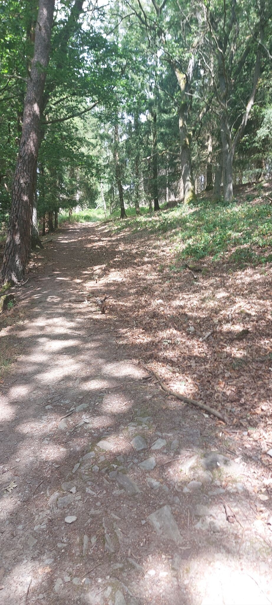
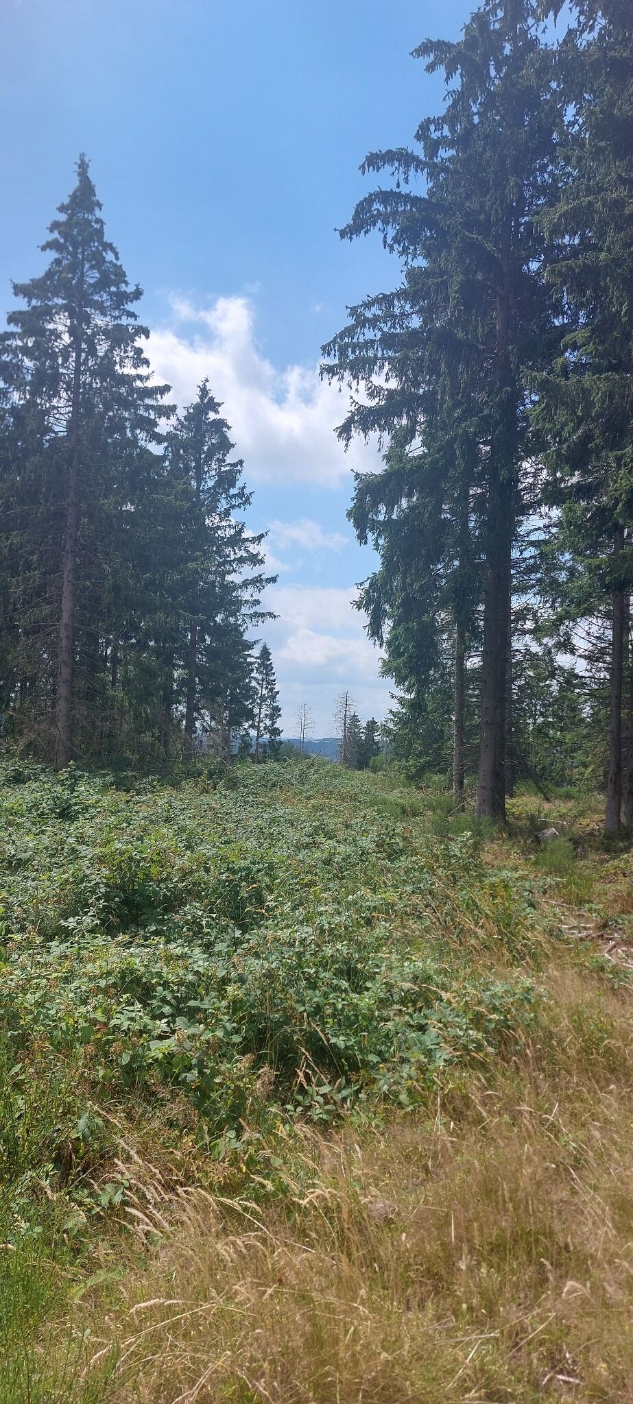
Underfoot, the terrain dictates your route. The wettest bog areas are accessible only via elevated wooden boardwalks, which keep walkers above the fragile peat and standing water. Outside these protected zones, the paths turn into stony forest tracks, clay trails, or wide firebreaks that can be muddy. Because of the delicate ecosystem, many areas are divided into zones where access is strictly regulated, meaning you must stick to designated paths, and some sections close entirely during the spring nesting season.
In August, the open heathlands turn purple with flowering heather, contrasting with the pale, dried moor grass that dominates the colder months. While the most famous boardwalk routes near Baraque Michel and Botrange attract many visitors on weekends, taking the forest tracks further east toward the German border offers a much quieter experience among the trees.
Hiking routes in Parc naturel des Hautes-Fagnes – Eifel (35)
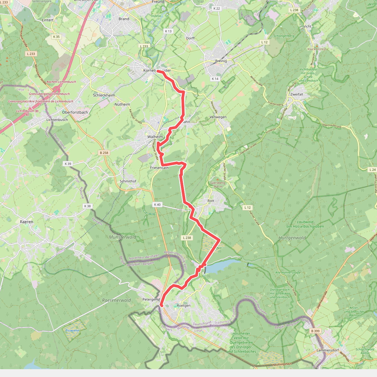
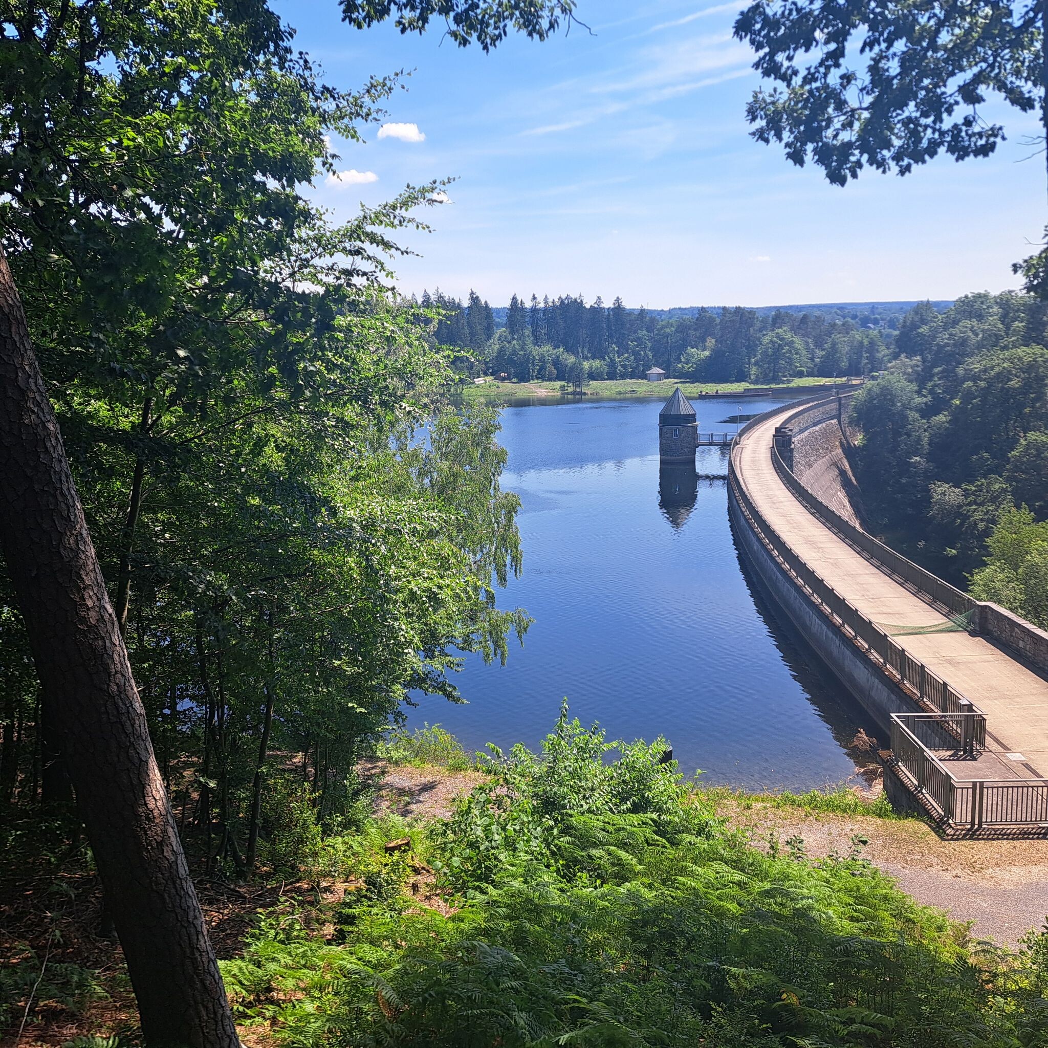

#1. Kornelimünster - Roetgen · Eifelsteig etappe 1
Aachen,Roetgen,Raeren
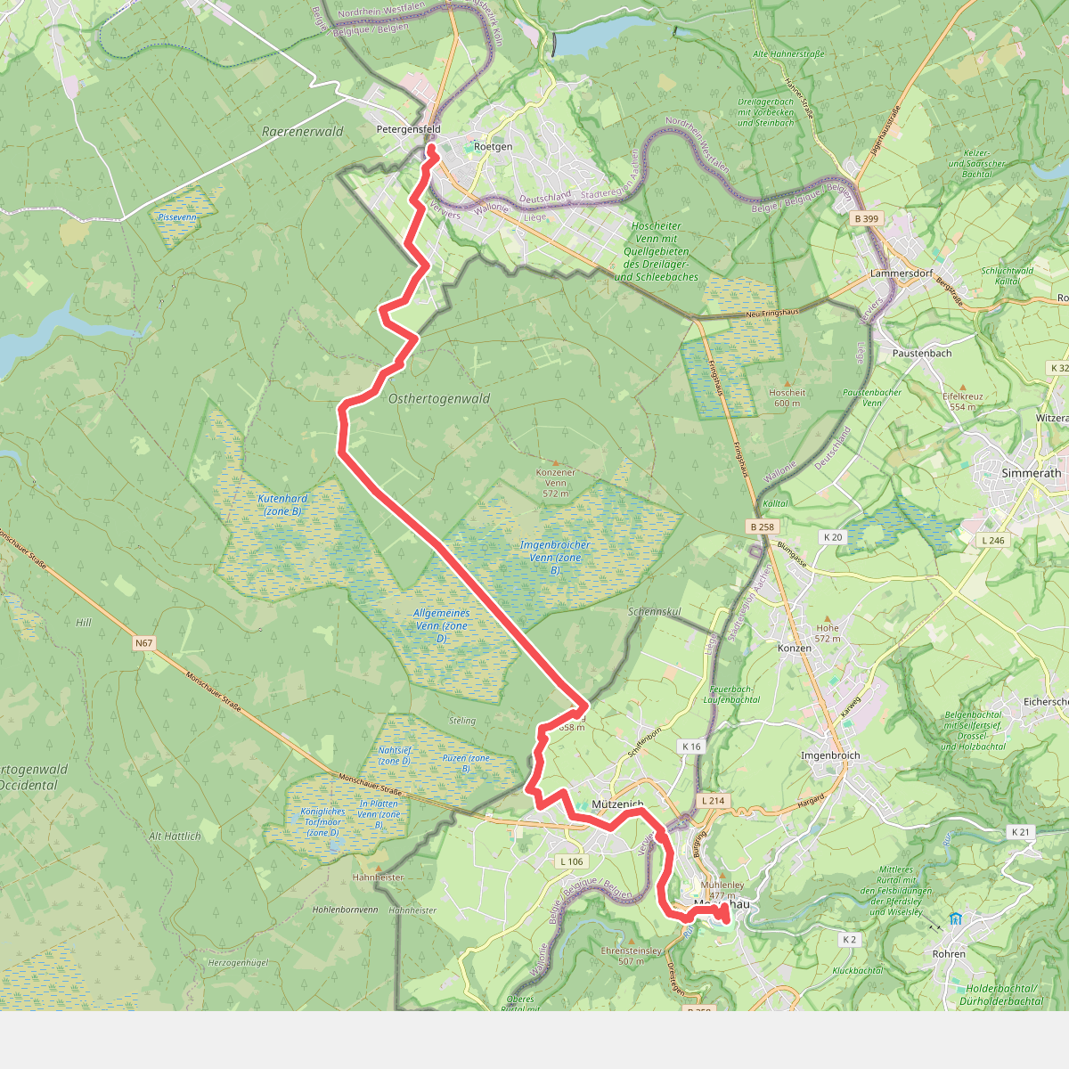
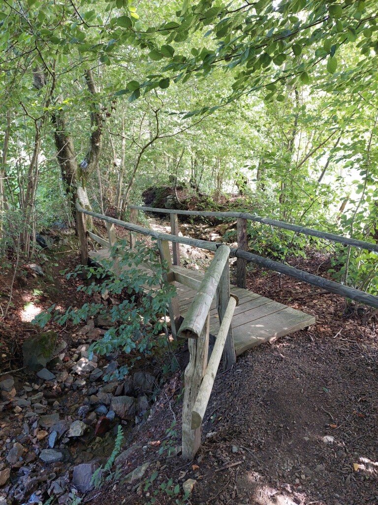
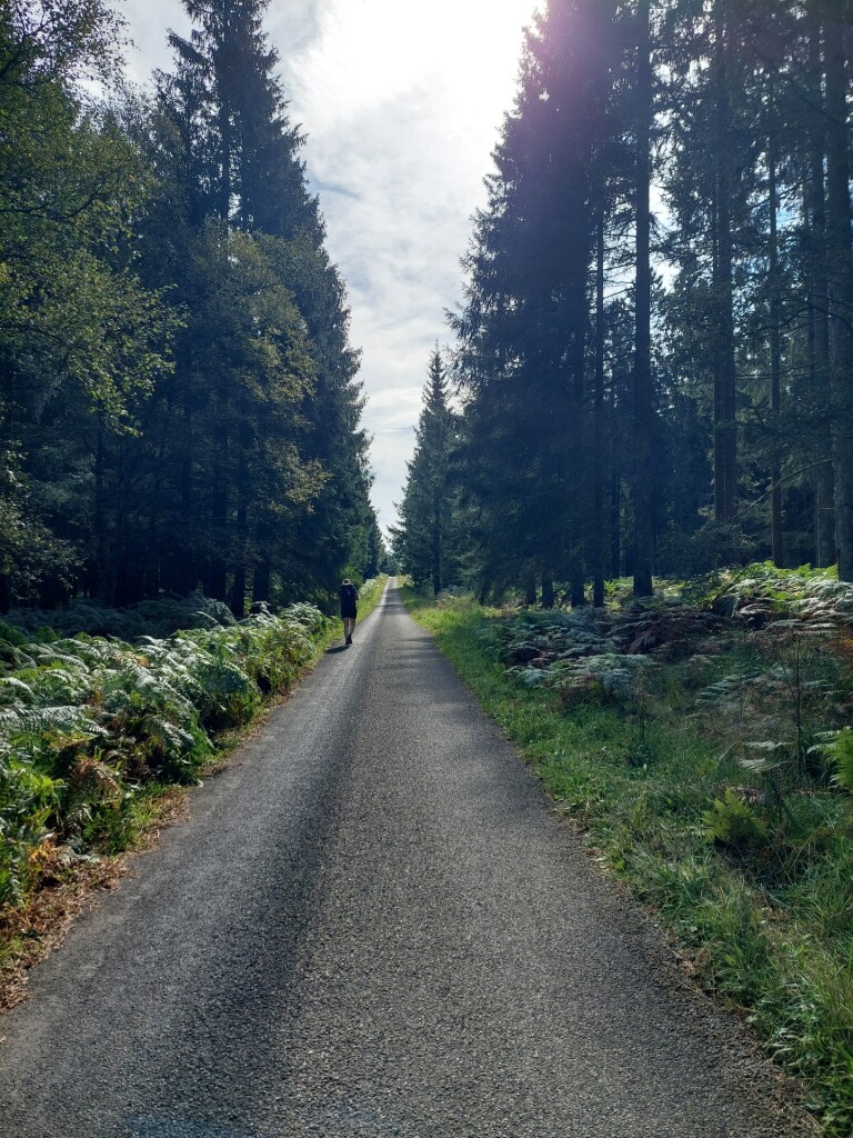
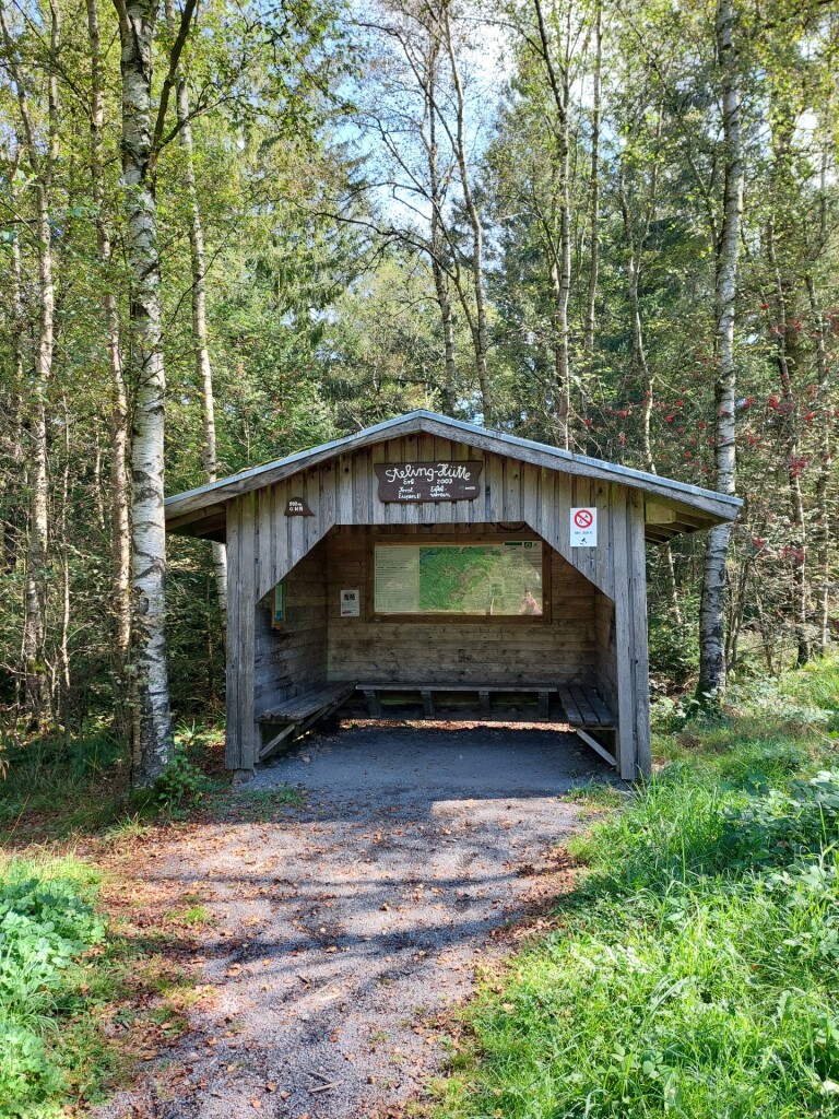
#2. Roetgen - Monschau · Eifelsteig etappe 2
Roetgen,Raeren,Eupen,Monschau
![Unterwegs in Konzen [34]](https://wandelweb.fsn1.your-objectstorage.com/tracks/static-maps/32155-1779131419-large.png)
![Unterwegs in Konzen [34]](https://wandelweb.fsn1.your-objectstorage.com/photo/1779877276_HCD1KguZ5w.jpg)
![Unterwegs in Konzen [34]](https://wandelweb.fsn1.your-objectstorage.com/photo/1779877275_yOyCrHlTZE.jpg)
![Unterwegs in Konzen [34]](https://wandelweb.fsn1.your-objectstorage.com/photo/1779877274_g0H8CEbIP0.jpg)
#3. Unterwegs in Konzen [34]
Monschau,Eupen
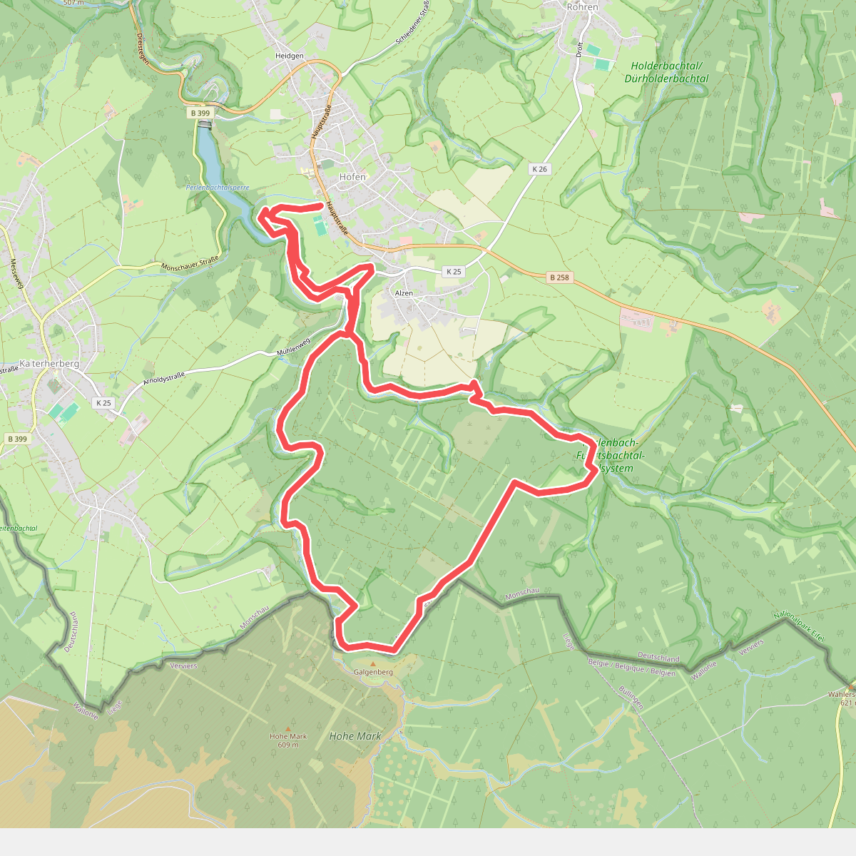
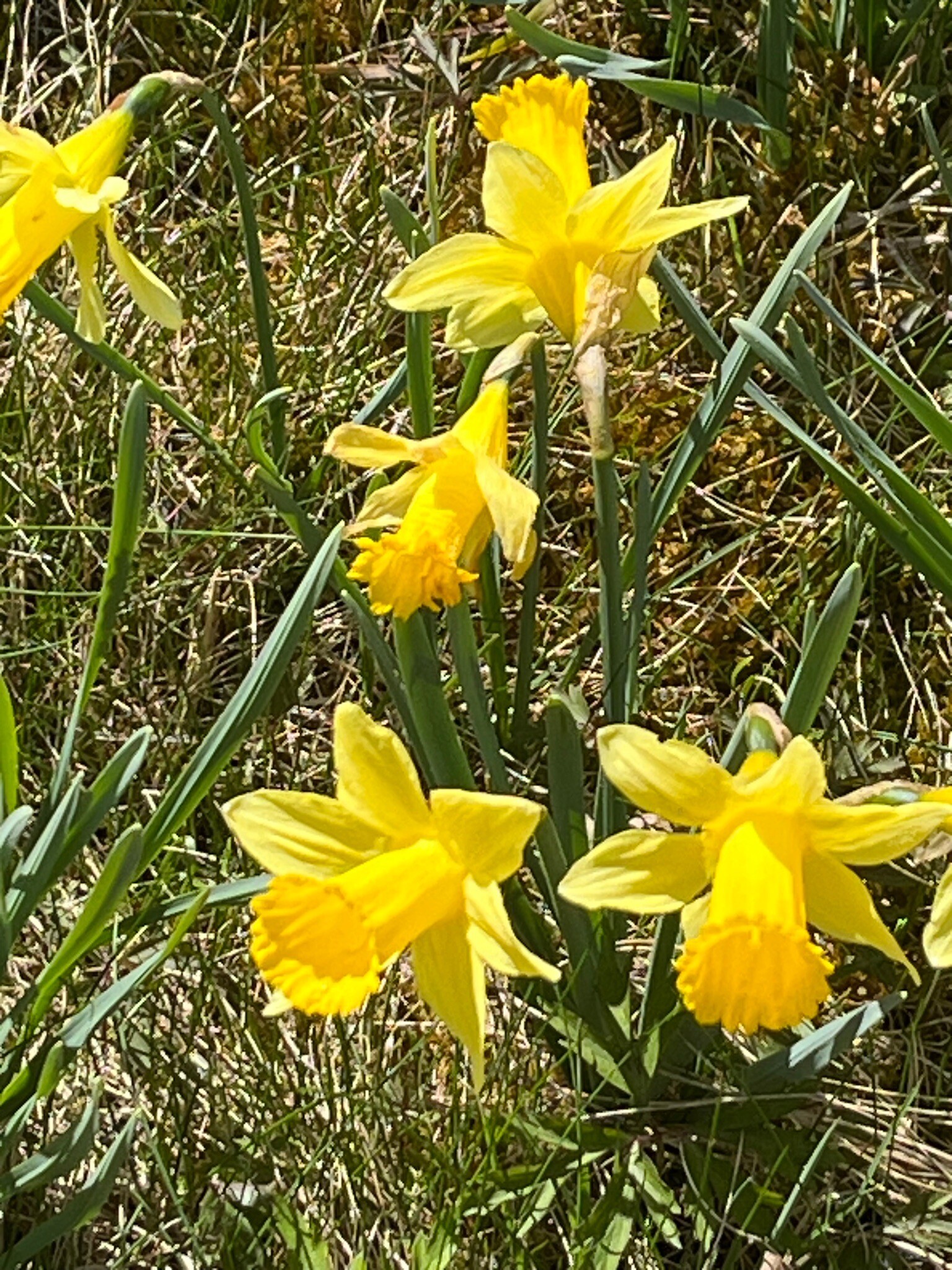
#4. Narzissenroute
Monschau
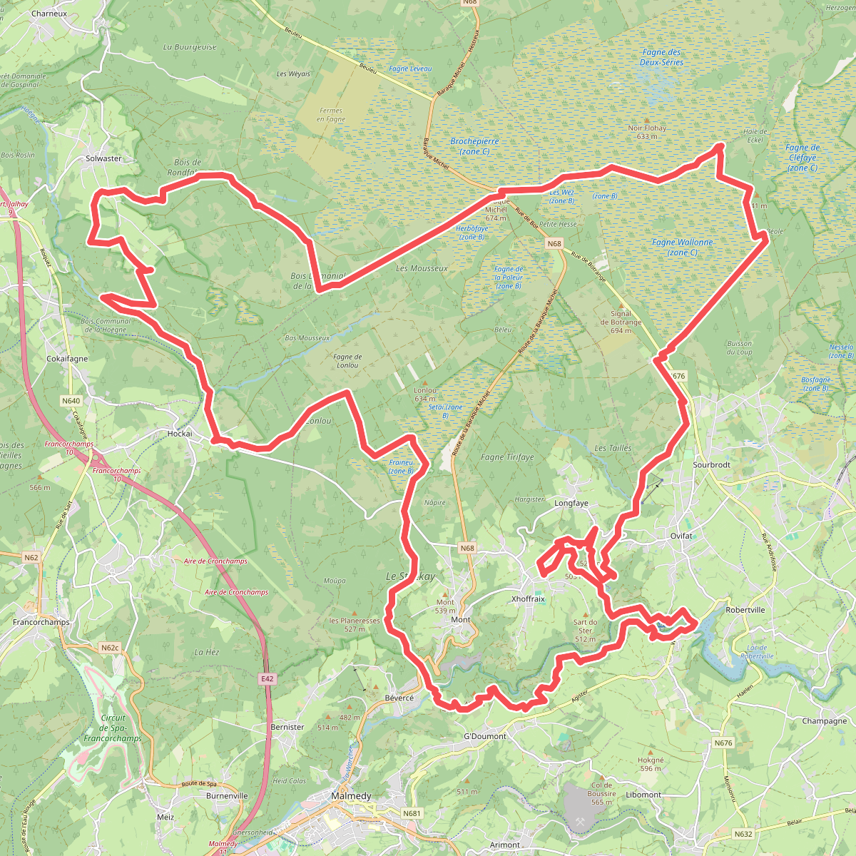
#5. 3 daagse hike hoge venen
Malmedy,Stavelot,Sart,Robertville,Waimes
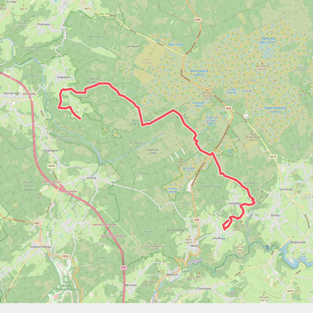
#6. 3 daagse hike hoge venen, dag 2 korte route
Sart,Malmedy
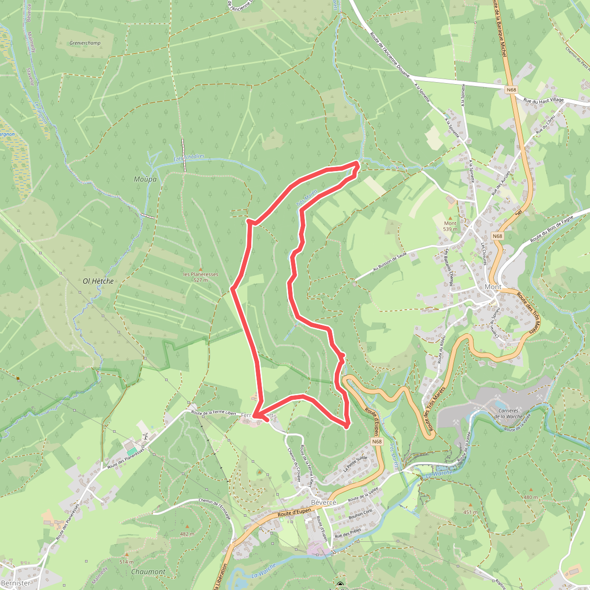
#7. De canyon van Trôs-Maret
Malmedy
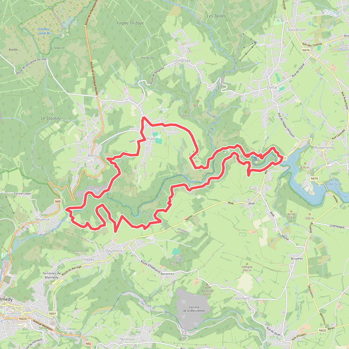
#8. De Heuvelkammen van de Warche
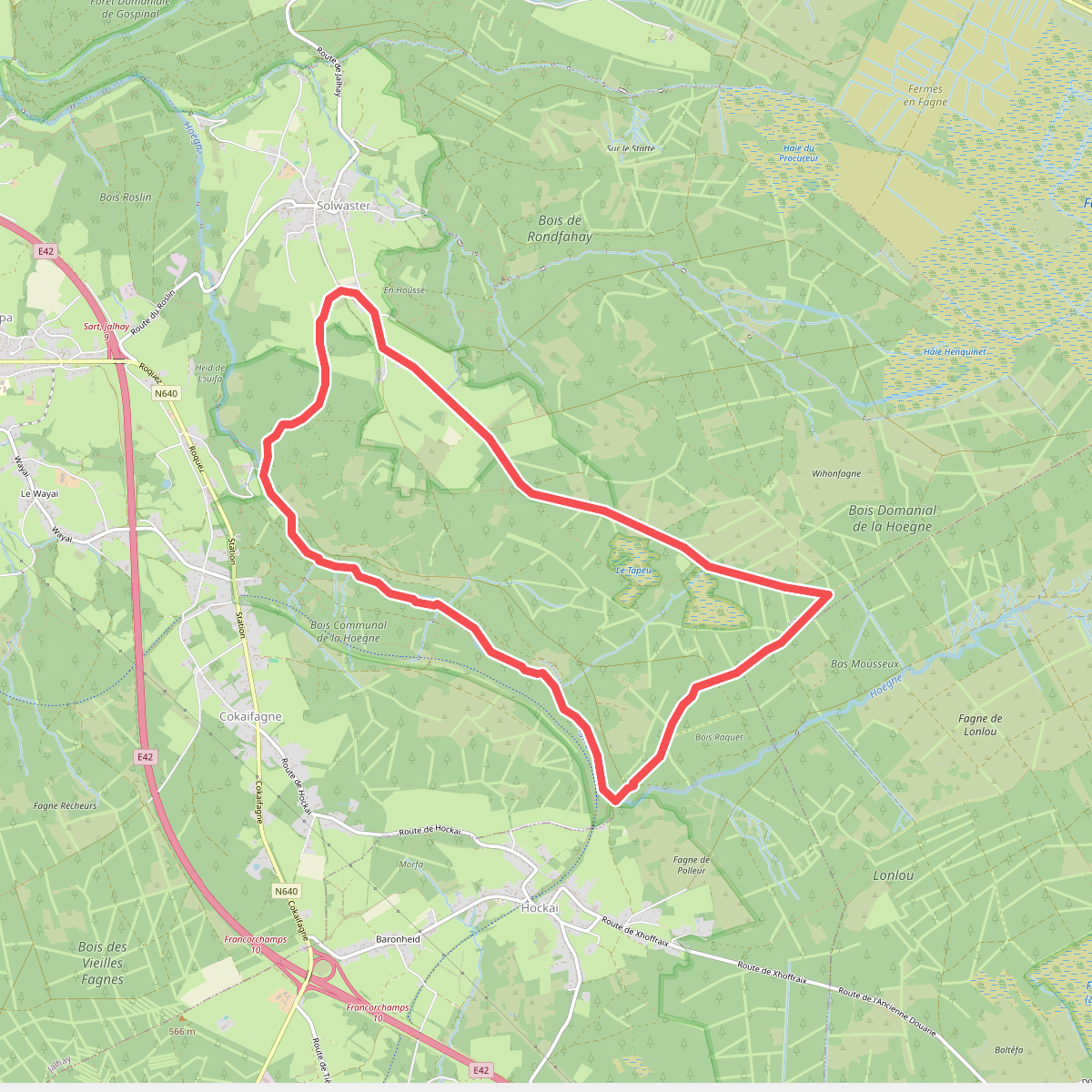
#9. De vallei van de Hoëgne
Jalhay,Stavelot
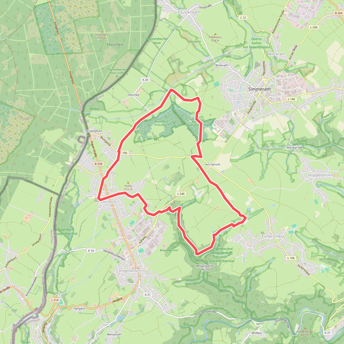
#10. Eifelverein - Weg 54
Simmerath,Monschau
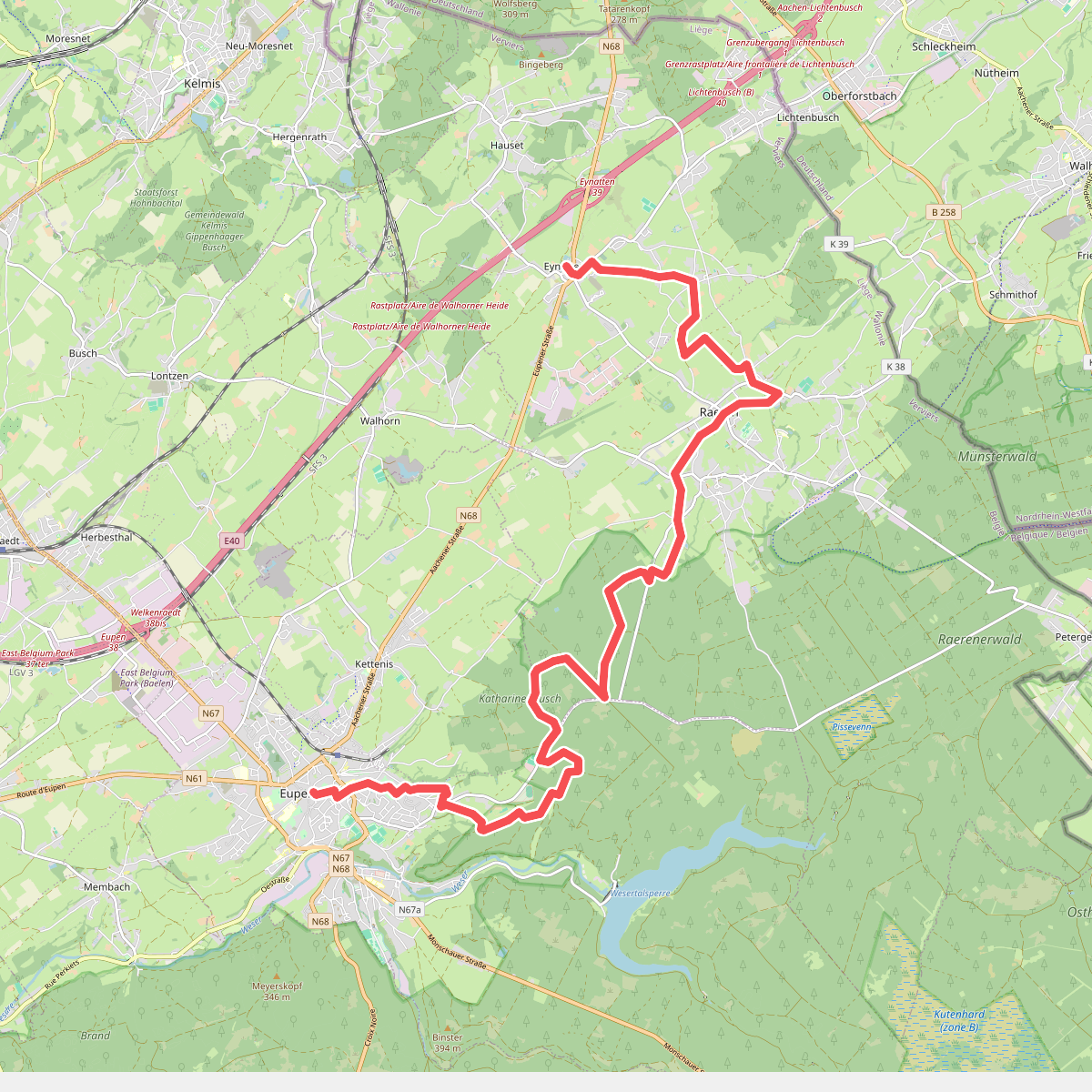
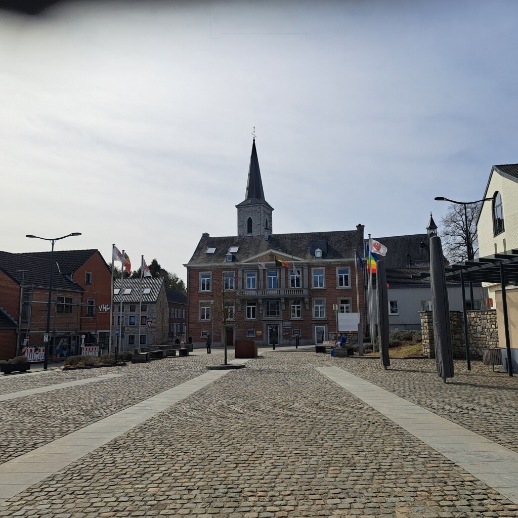
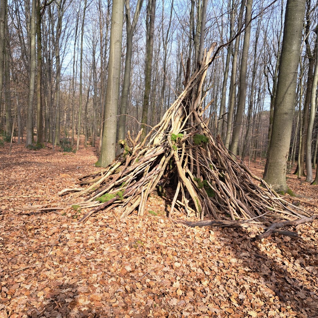
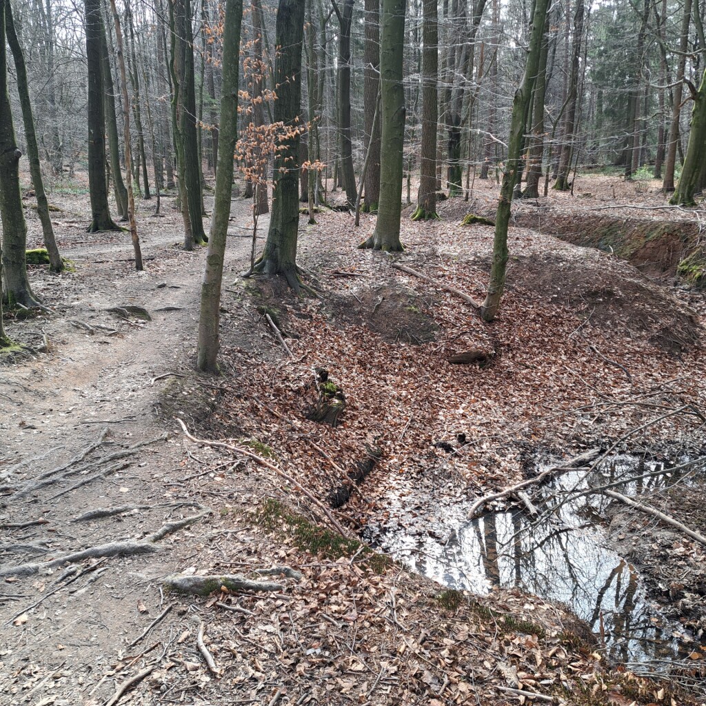
#11. Etappe 2 · Venntrilogie etappe 2
Eupen,Raeren
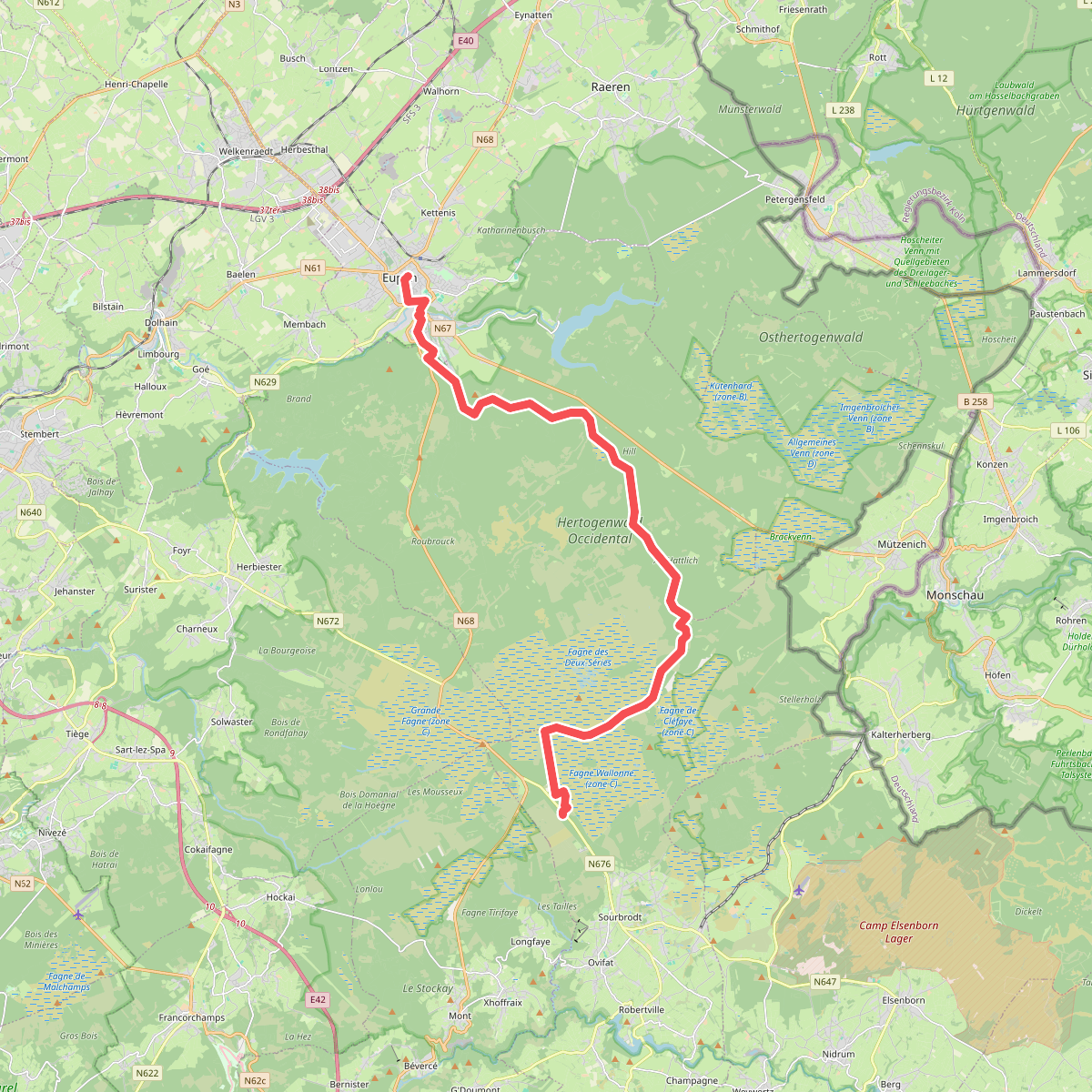
#12. Etappe 3 · Venntrilogie etappe 3
Robertville,Baelen,Eupen



