

The best hiking routes in Namur
Discover the best walks in Namur. 340 routes on the map, with descriptions, photos and GPX.
About Namur
Namur offers a distinct transition between the rolling agricultural plateaus of the north and the dense, rocky forests of the south. In the Parc naturel Cœur de Condroz, walkers encounter a landscape of alternating sandstone ridges and limestone valleys, where wide farm tracks run between crop fields and traditional grey stone villages. The ground here is mostly firm agricultural clay and gravel, offering open views across a structured, working countryside that lacks dramatic peaks but provides steady, gentle climbs.
Read more
About Namur
Namur offers a distinct transition between the rolling agricultural plateaus of the north and the dense, rocky forests of the south. In the Parc naturel Cœur de Condroz, walkers encounter a landscape of alternating sandstone ridges and limestone valleys, where wide farm tracks run between crop fields and traditional grey stone villages. The ground here is mostly firm agricultural clay and gravel, offering open views across a structured, working countryside that lacks dramatic peaks but provides steady, gentle climbs.
Read moreNamur offers a distinct transition between the rolling agricultural plateaus of the north and the dense, rocky forests of the south. In the Parc naturel Cœur de Condroz, walkers encounter a landscape of alternating sandstone ridges and limestone valleys, where wide farm tracks run between crop fields and traditional grey stone villages. The ground here is mostly firm agricultural clay and gravel, offering open views across a structured, working countryside that lacks dramatic peaks but provides steady, gentle climbs.
Further south, the terrain becomes more rugged and enclosed. The Parc national de l’Entre-Sambre-et-Meuse and the adjacent Parc naturel Viroin Hermeton feature deep river valleys, dense deciduous woods, and unusual limestone lawns. In these southern parks, the paths are dominated by exposed tree roots, loose shale, and forest soil. You will notice sharp, steep ravines and distinctive limestone hills, known locally as tiennes, which support rare plants that thrive on the dry, calcareous soil.
Choosing where to walk depends on your preference for open space or deep forest cover. The northern Condroz area feels orderly and exposed, while the southern parks near the Viroin river offer dense canopy and steeper, narrower paths. In May, the limestone lawns of the Viroin Hermeton are particularly notable for wild orchids, making it a more specialized botanical walk compared to the broad, sweeping agricultural tracks of the Condroz.
Nature areas in Namur
Zoom or pan for more routes
Hiking routes in Namur (340)
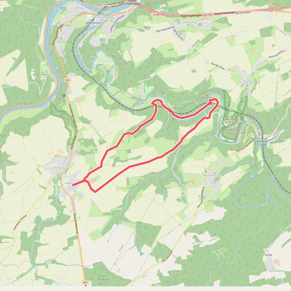
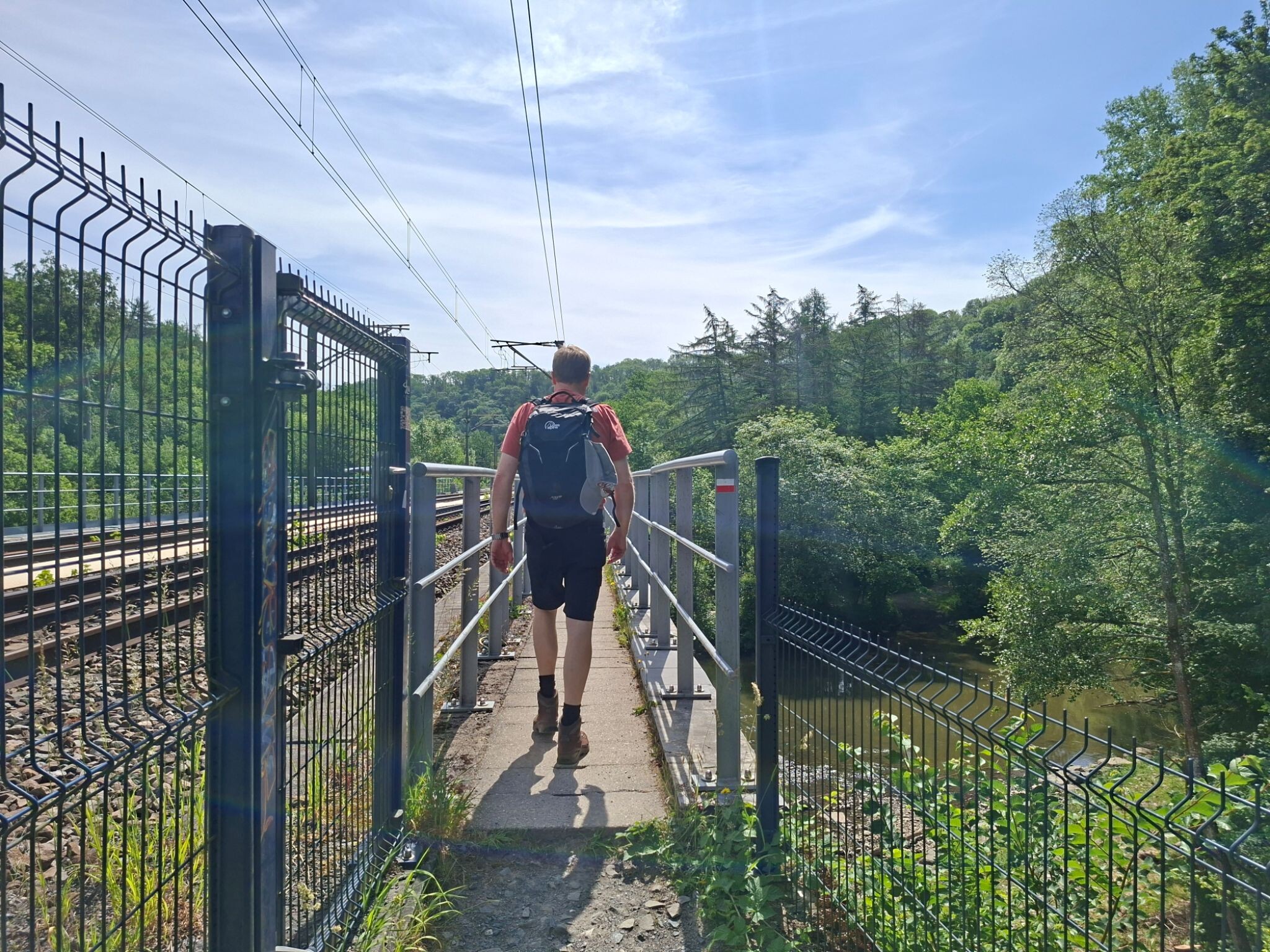
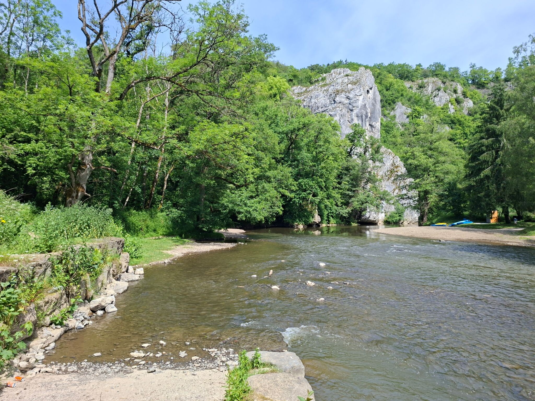
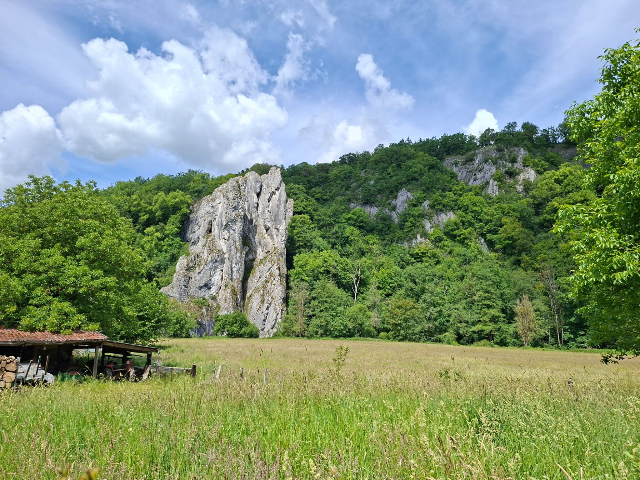
#1. Promenade de Walzin
Falmagne,Dréhance,Hulsonniaux
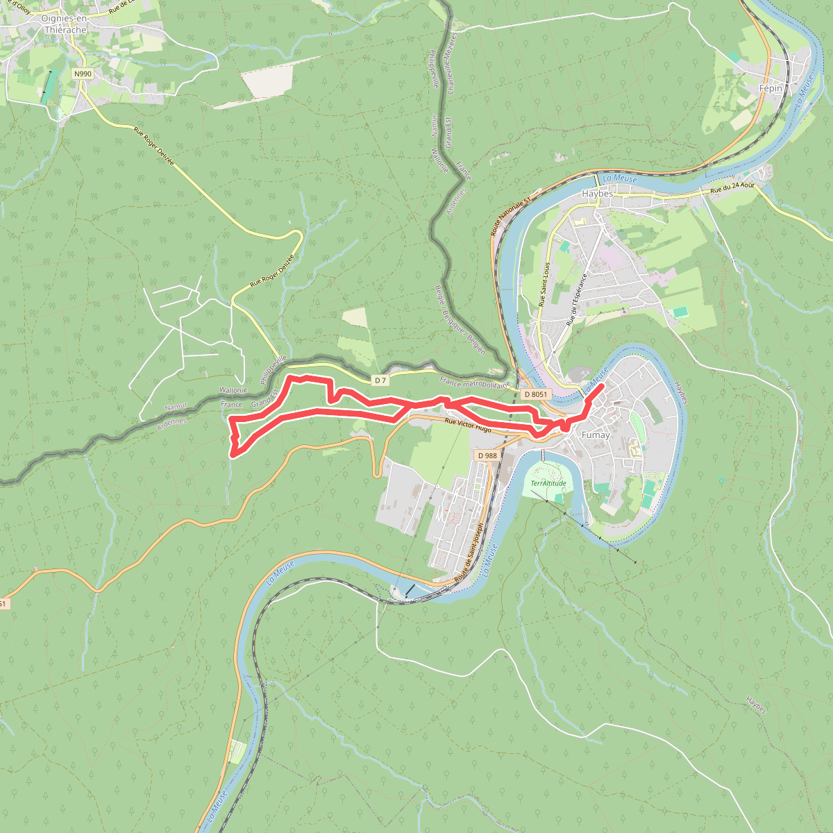
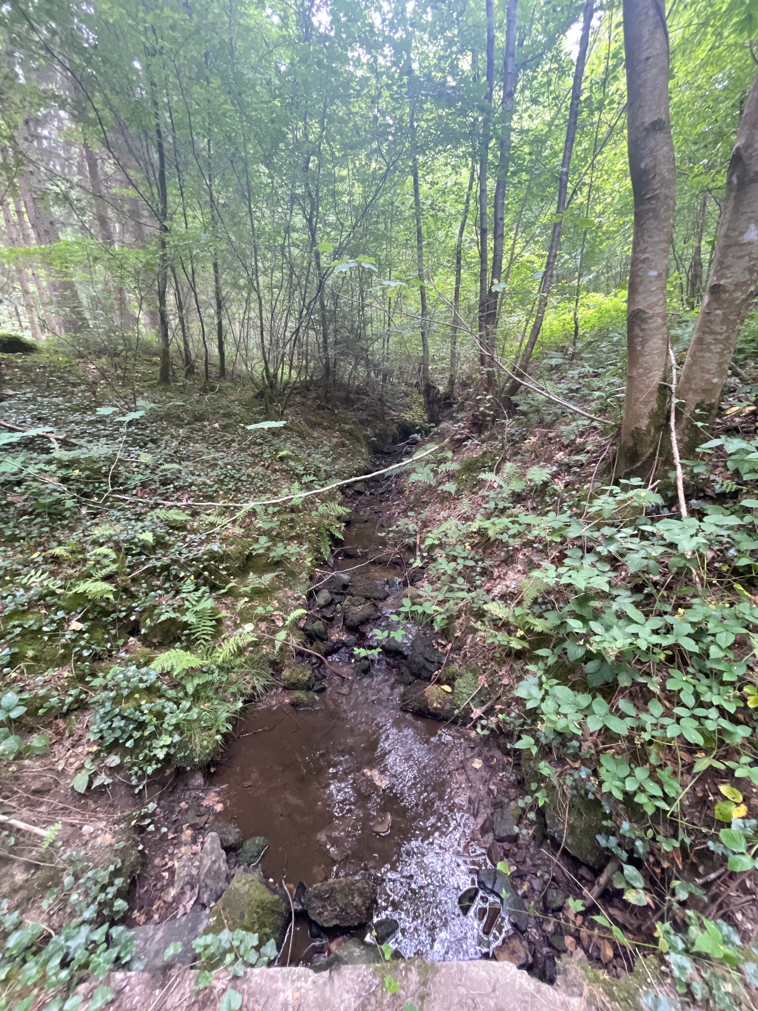
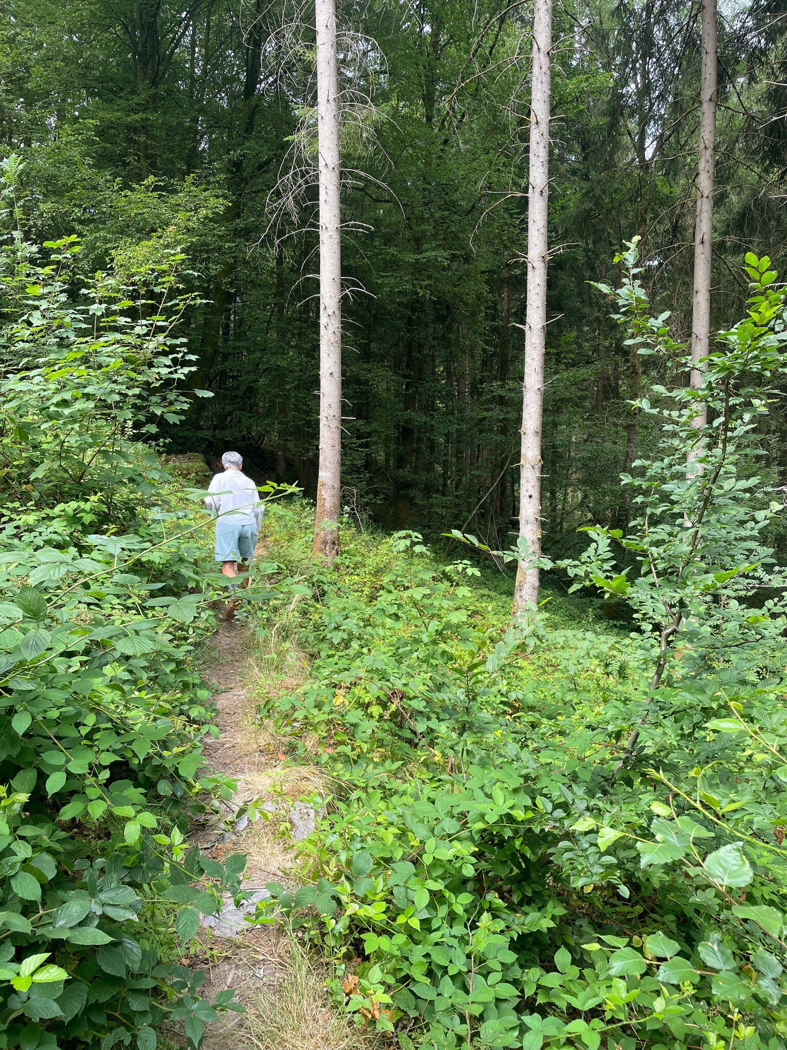
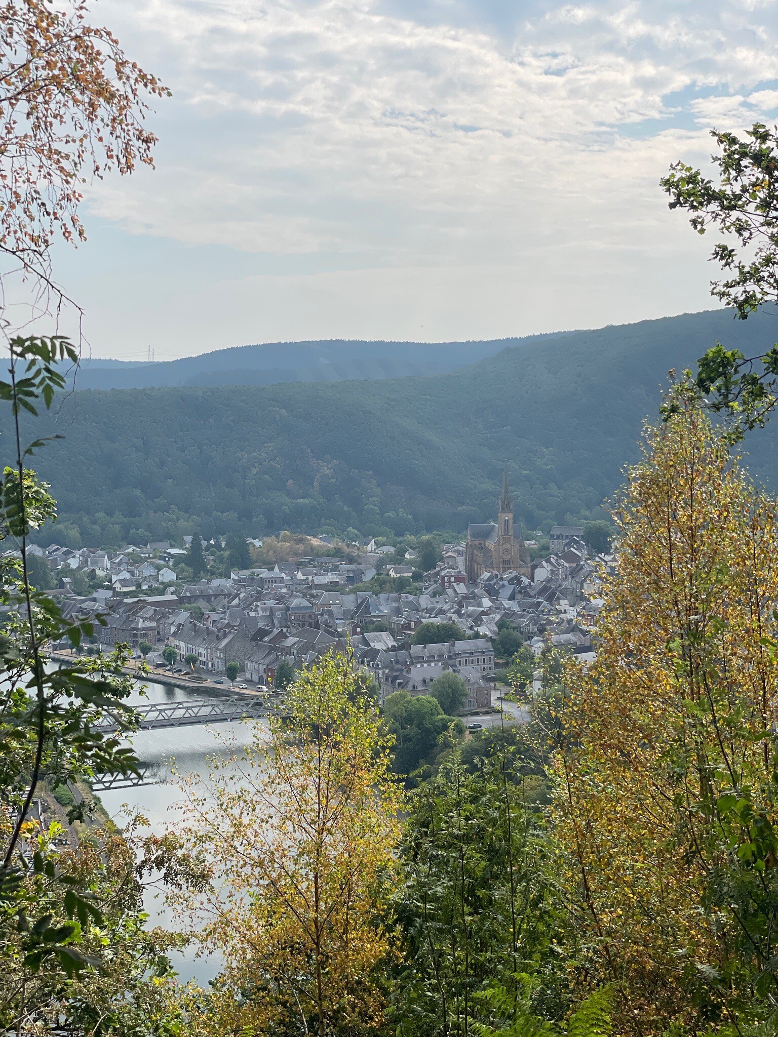
#2. Les Ardoisières de Fumay
Fumay
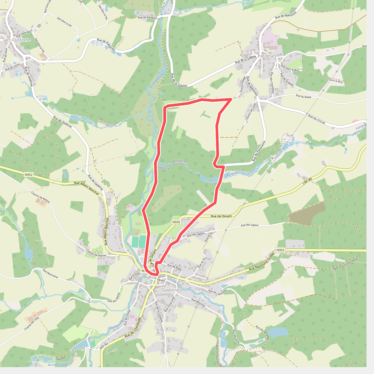
#3. 6. Chersi
Gedinne,Patignies
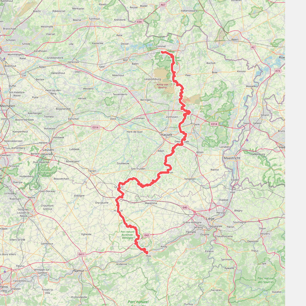
#4. de loonse route
Lommel,Pelt,Hechtel-Eksel,Peer,Houthalen-Helchteren,Zonhoven,Genk,Hasselt,Diepenbeek,Wellen,Herten,Kerniel,Borgloon,Hendrieken,Gotem,Hoepertingen,Mettekoven,Klein-Gelmen,Sint-Truiden,Boekhout,Mielen-Boven-Aalst,Muizen,Landen,Hannut,Braives,Wanze,Huy
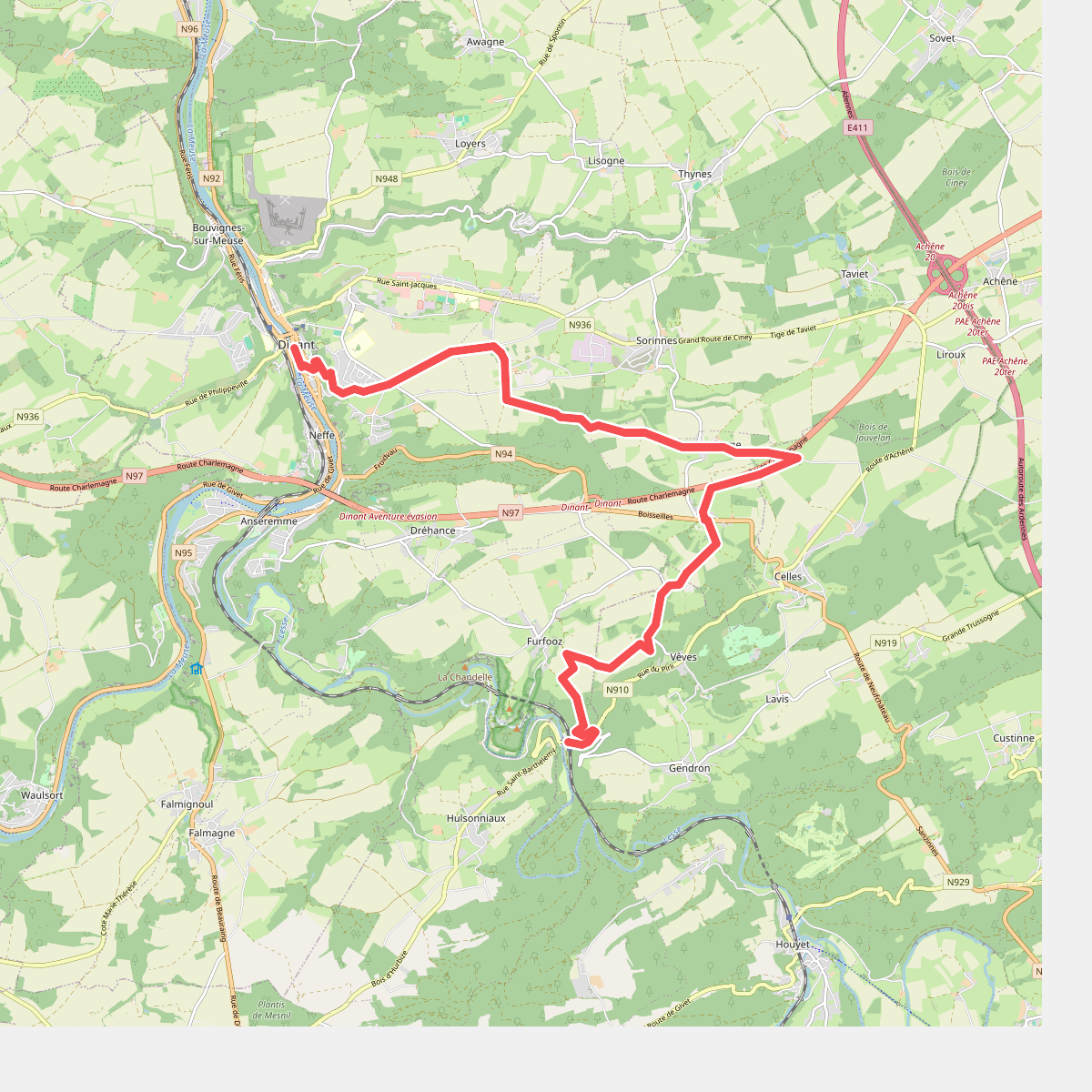
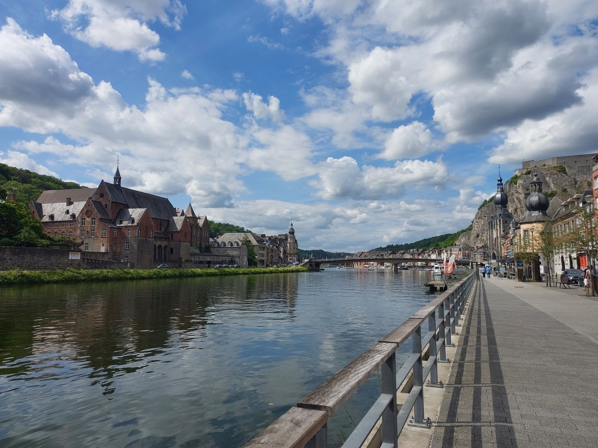
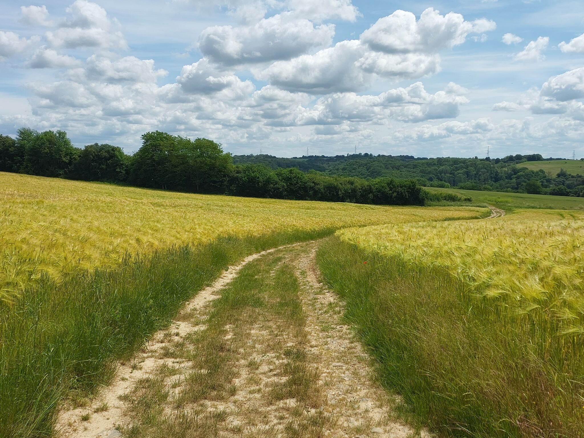
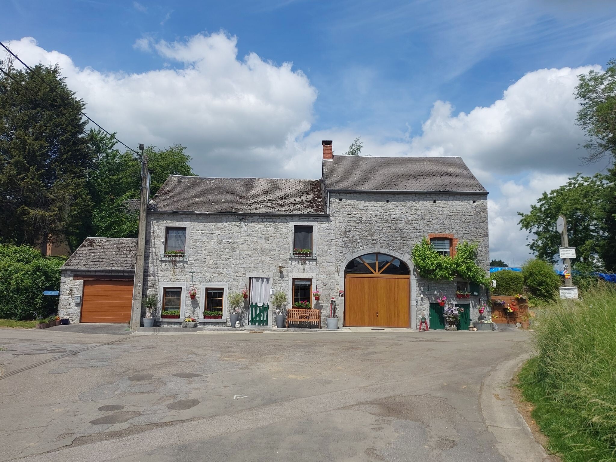
#5. Dinant - Gendron · GR129 etappe 12
Dinant,Celles
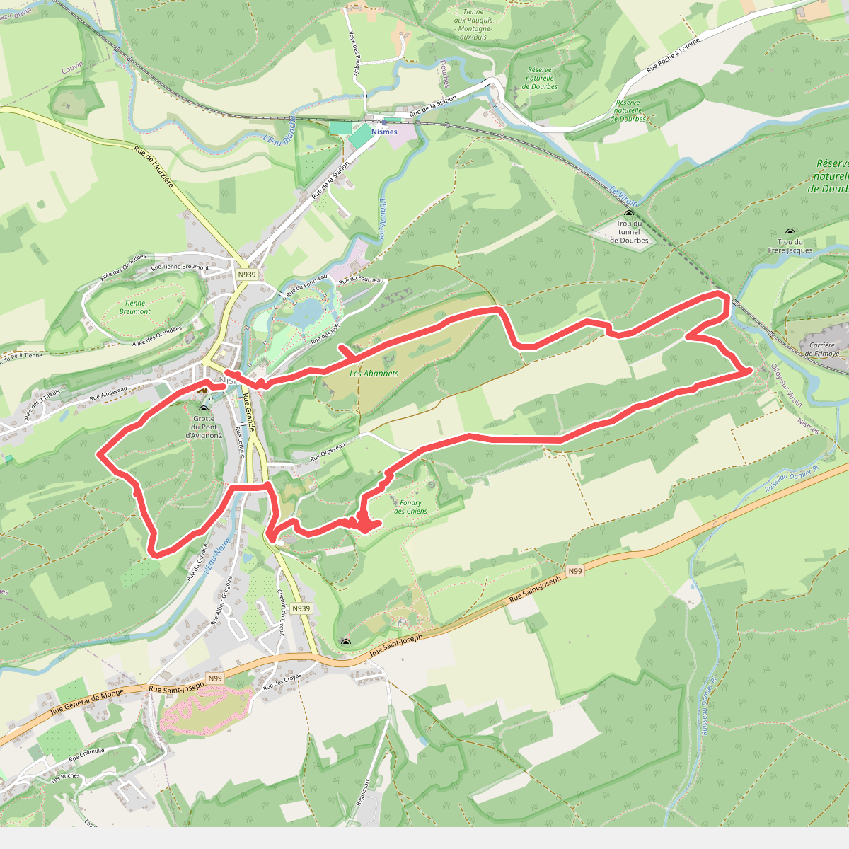
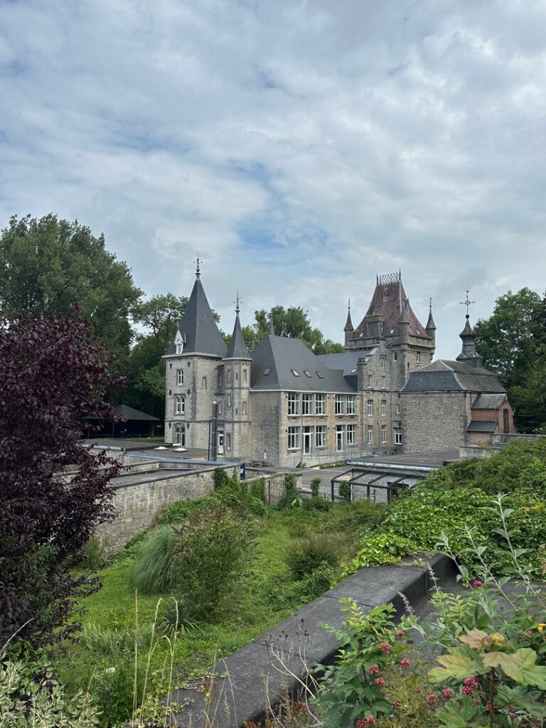
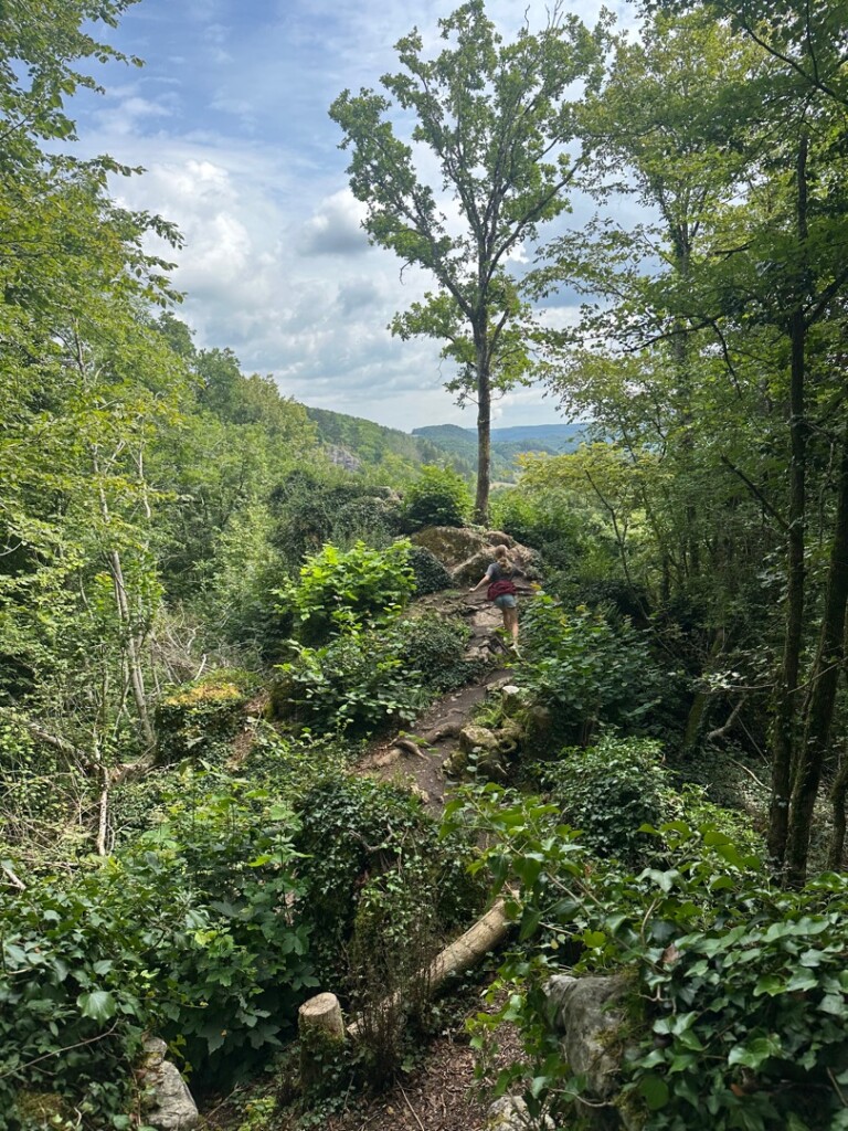
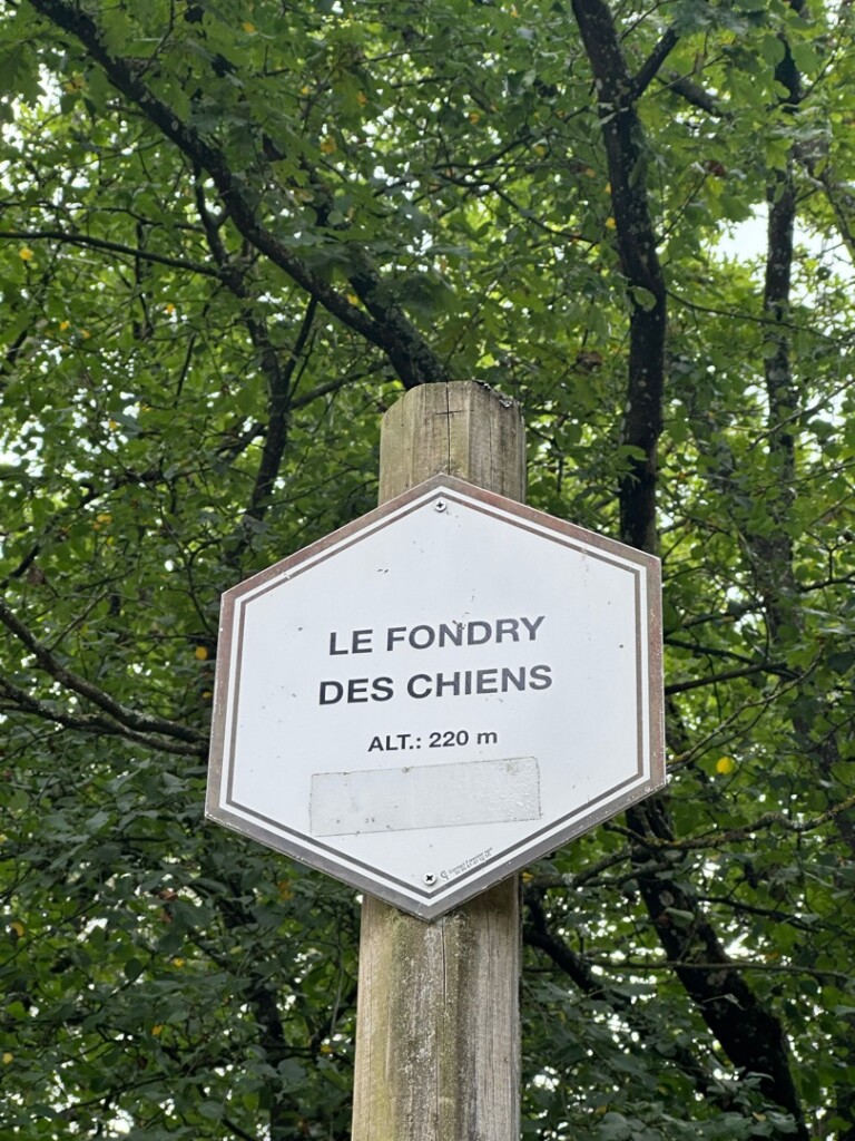
#6. Fondry des Chiens vanuit Nismes
Nismes
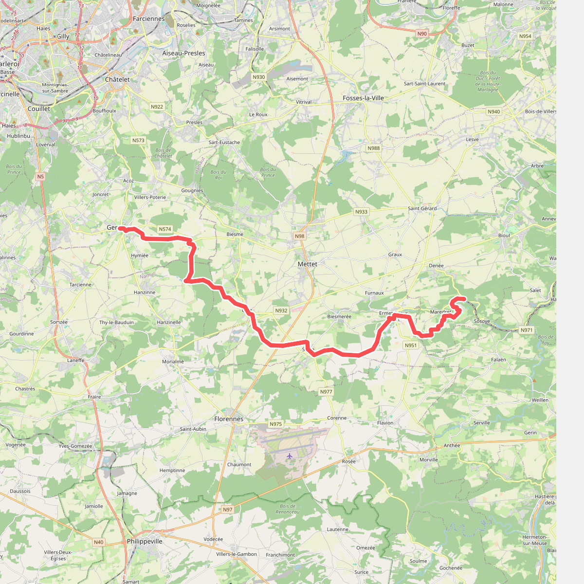
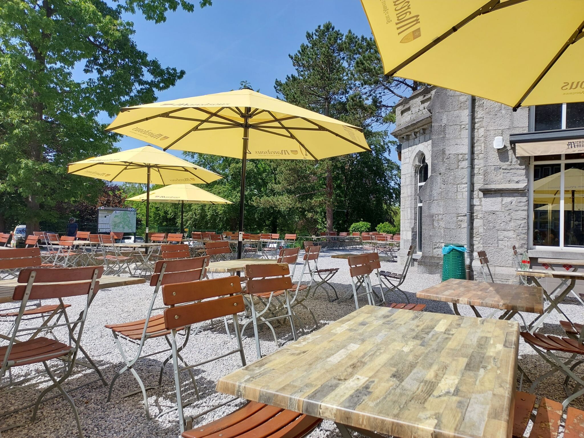
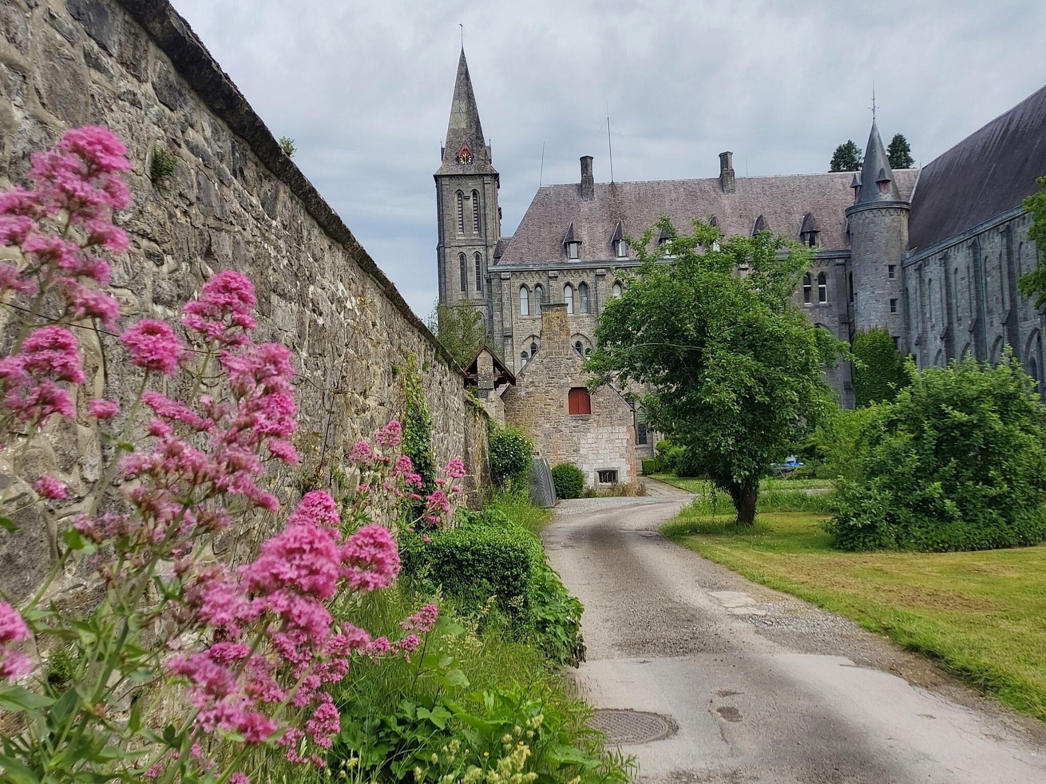
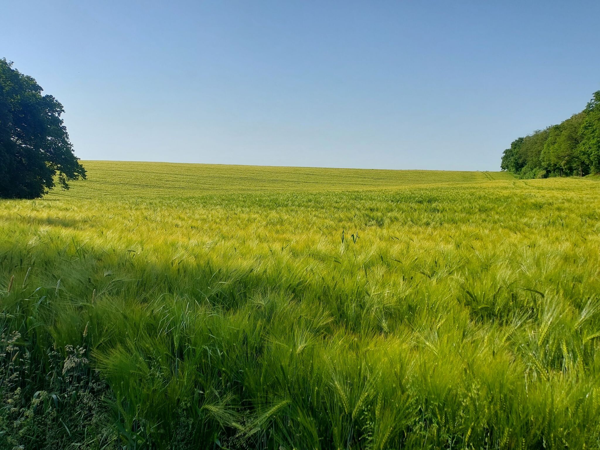
#7. Gerpinnes - Maredsous · GR129 etappe 10
Florennes,Mettet,Sosoye,Denée
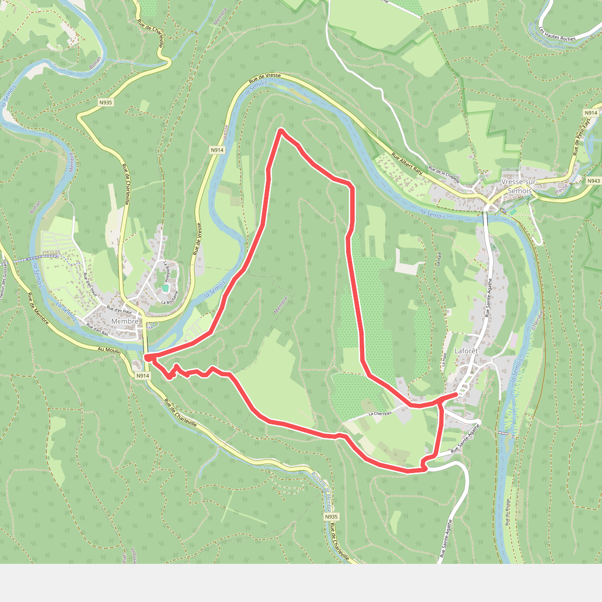
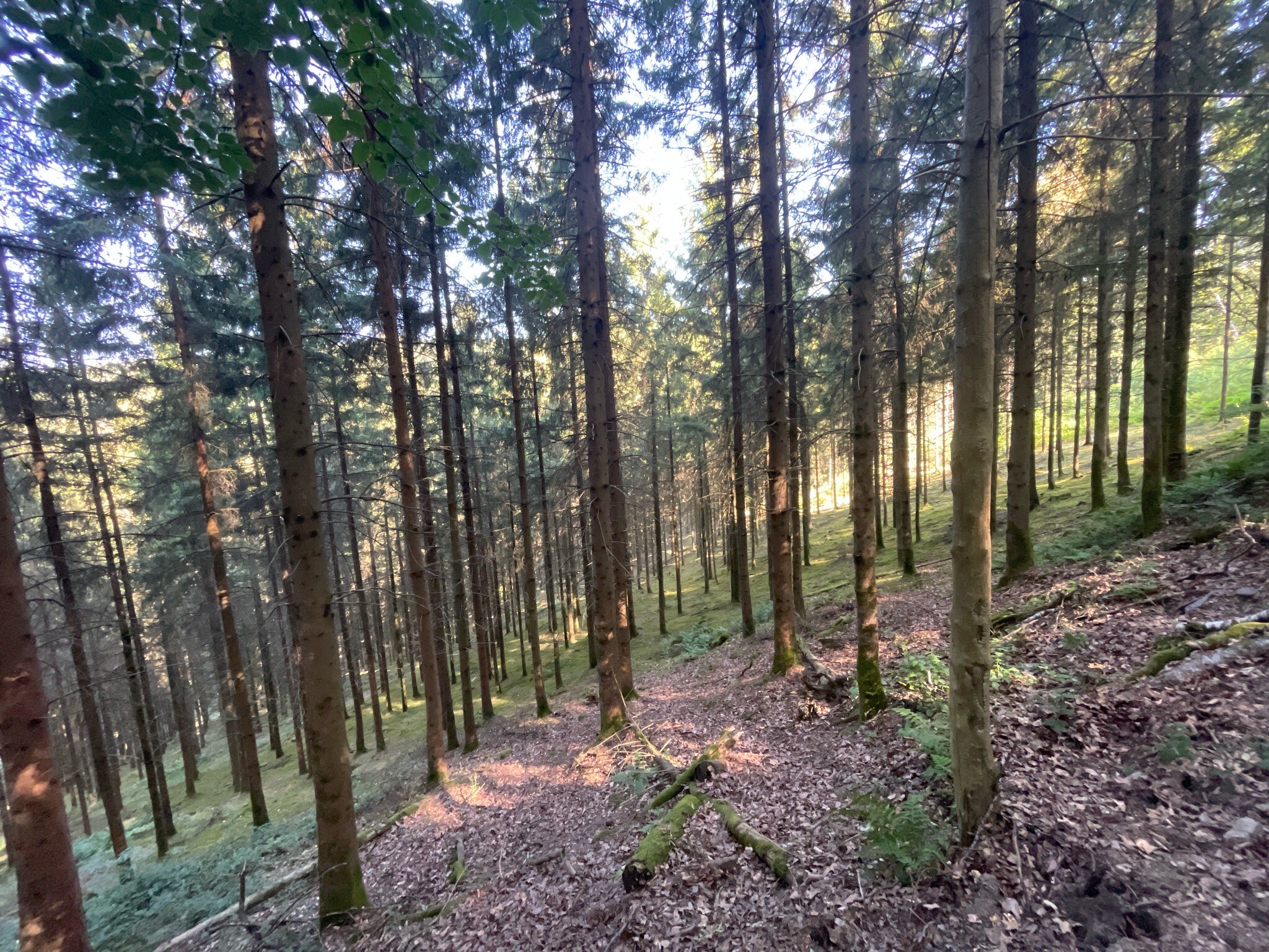
#8. Le Roche de Saloru
Laforêt,Membre
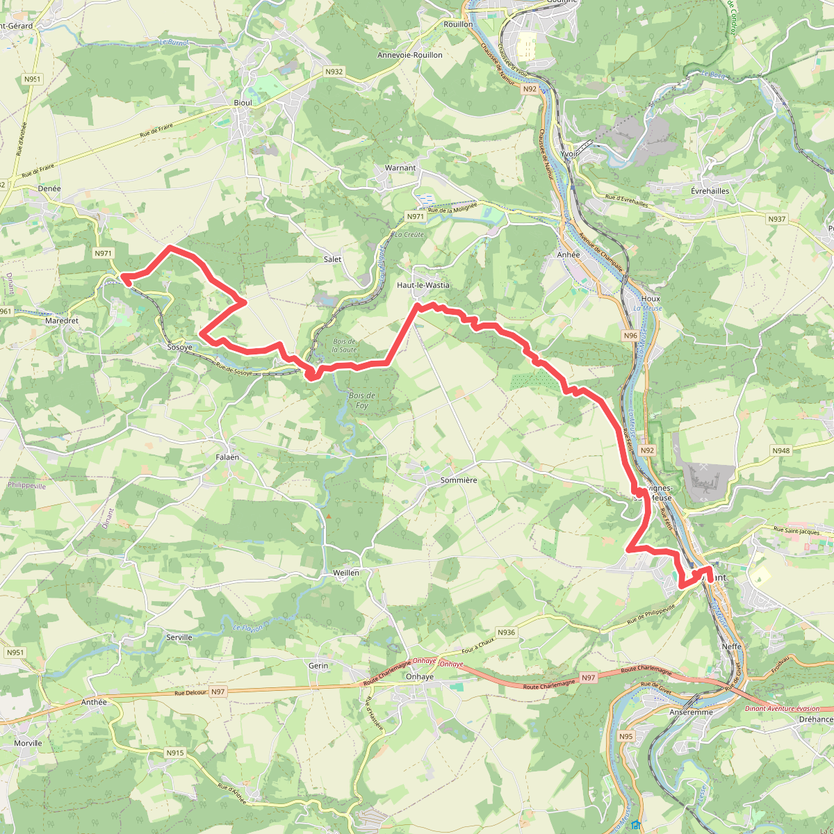
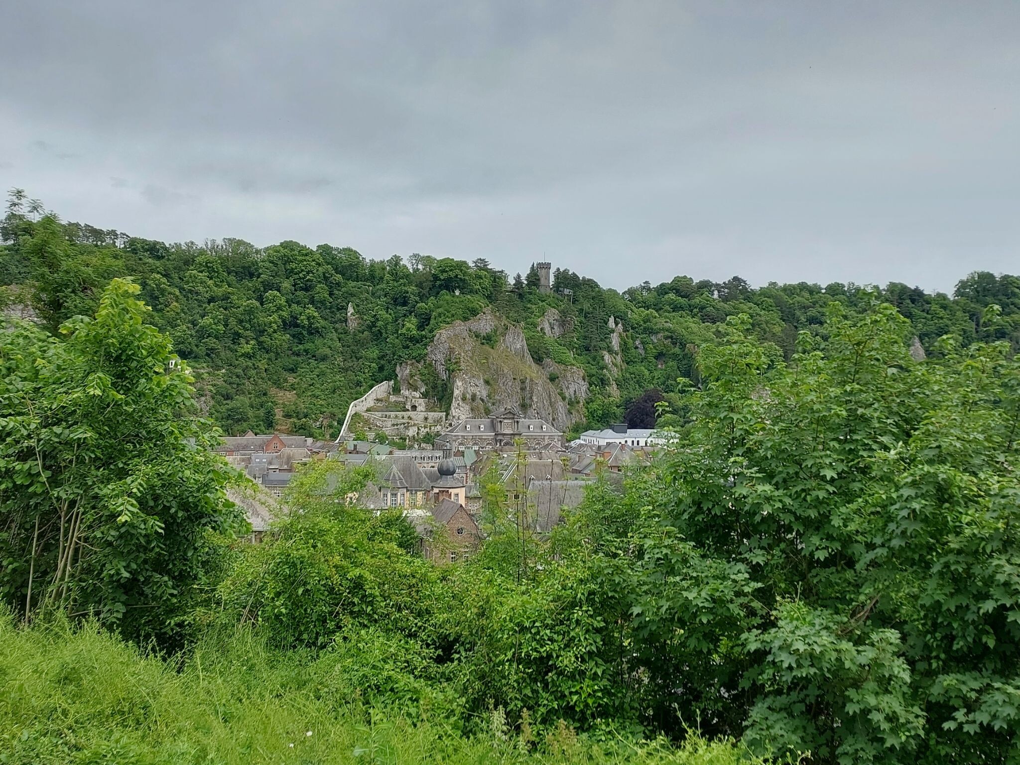
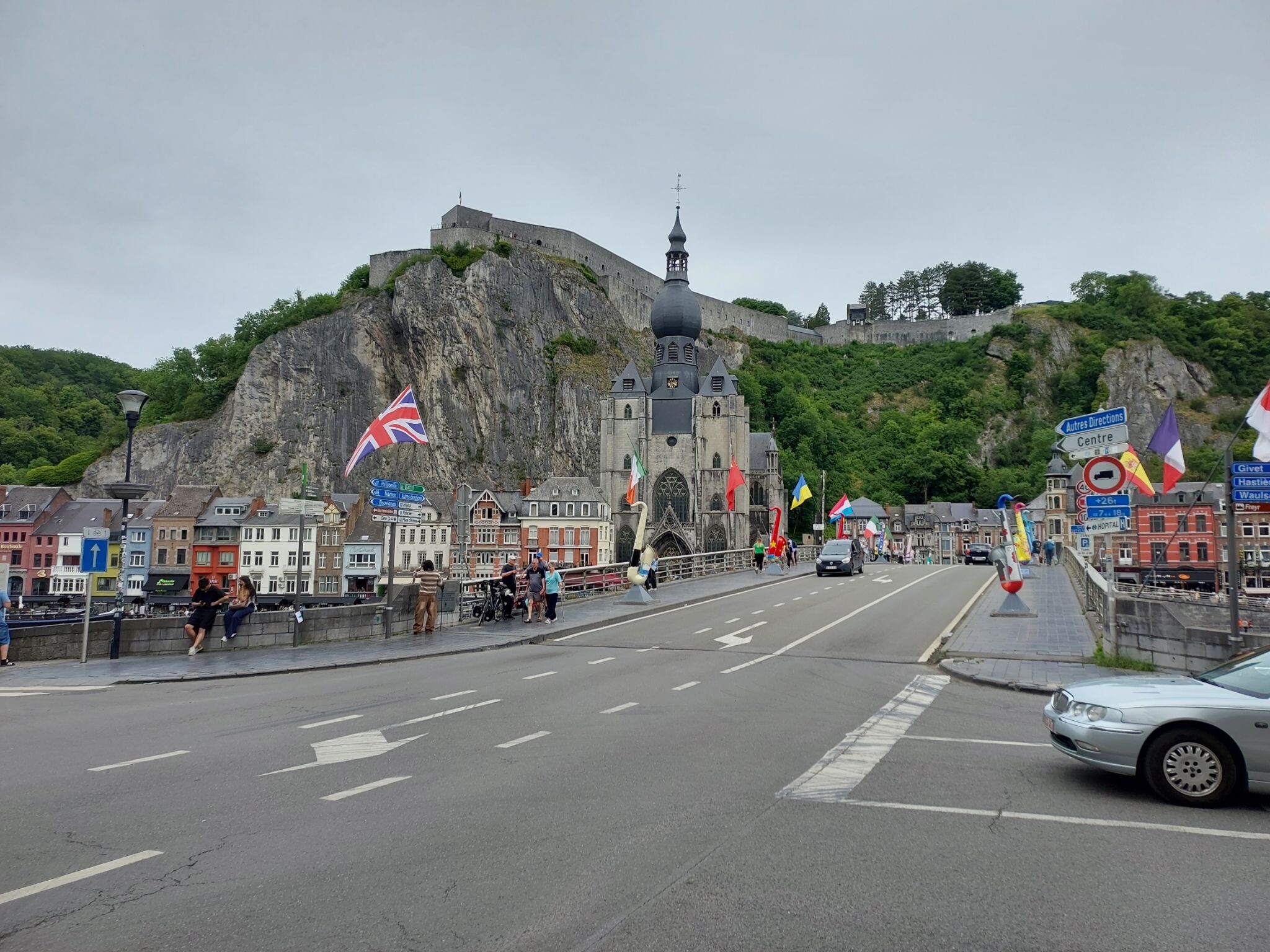
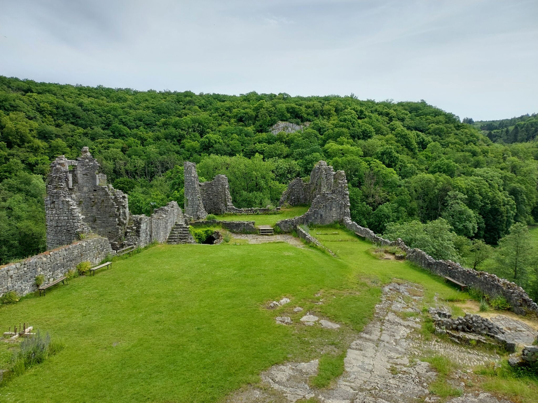
#9. Maredsous - Dinant · GR129 etappe 11
Denée,Falaën,Sosoye,Haut-le-Wastia,Anhée,Dinant,Sommière
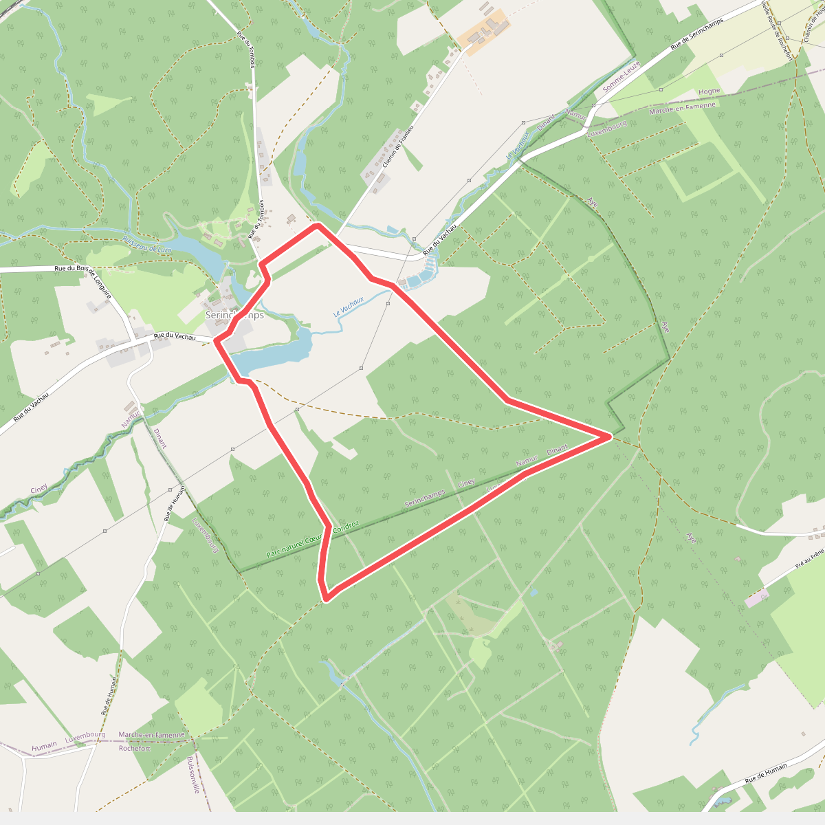
#10. Promenade des Rus
Serinchamps,Humain
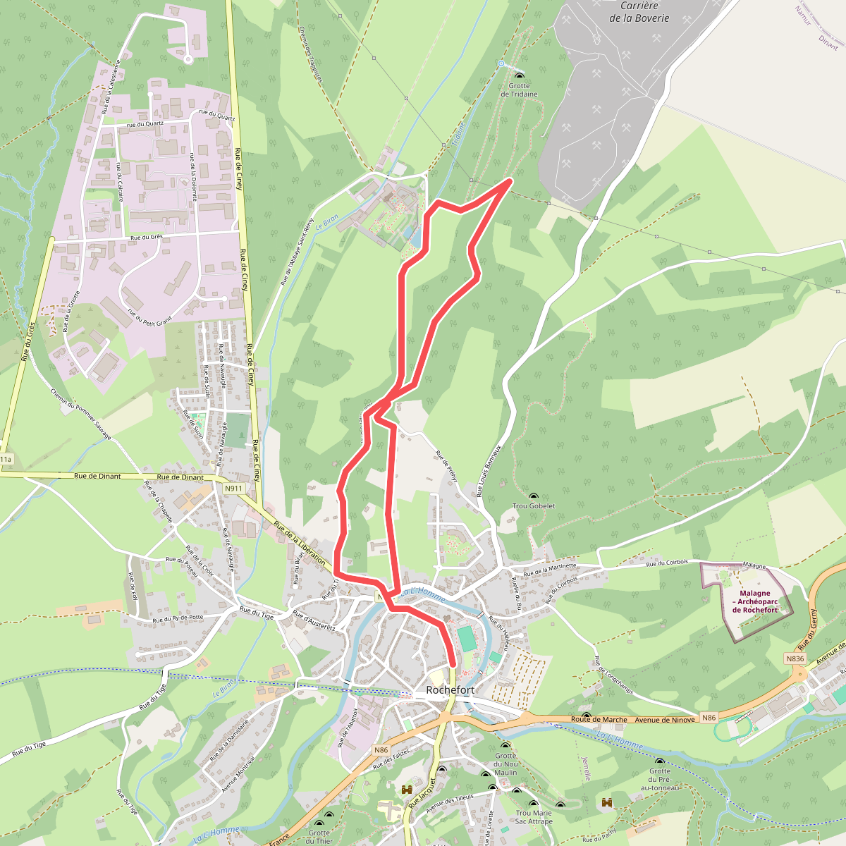
#11. RO10 Abbaye
Rochefort
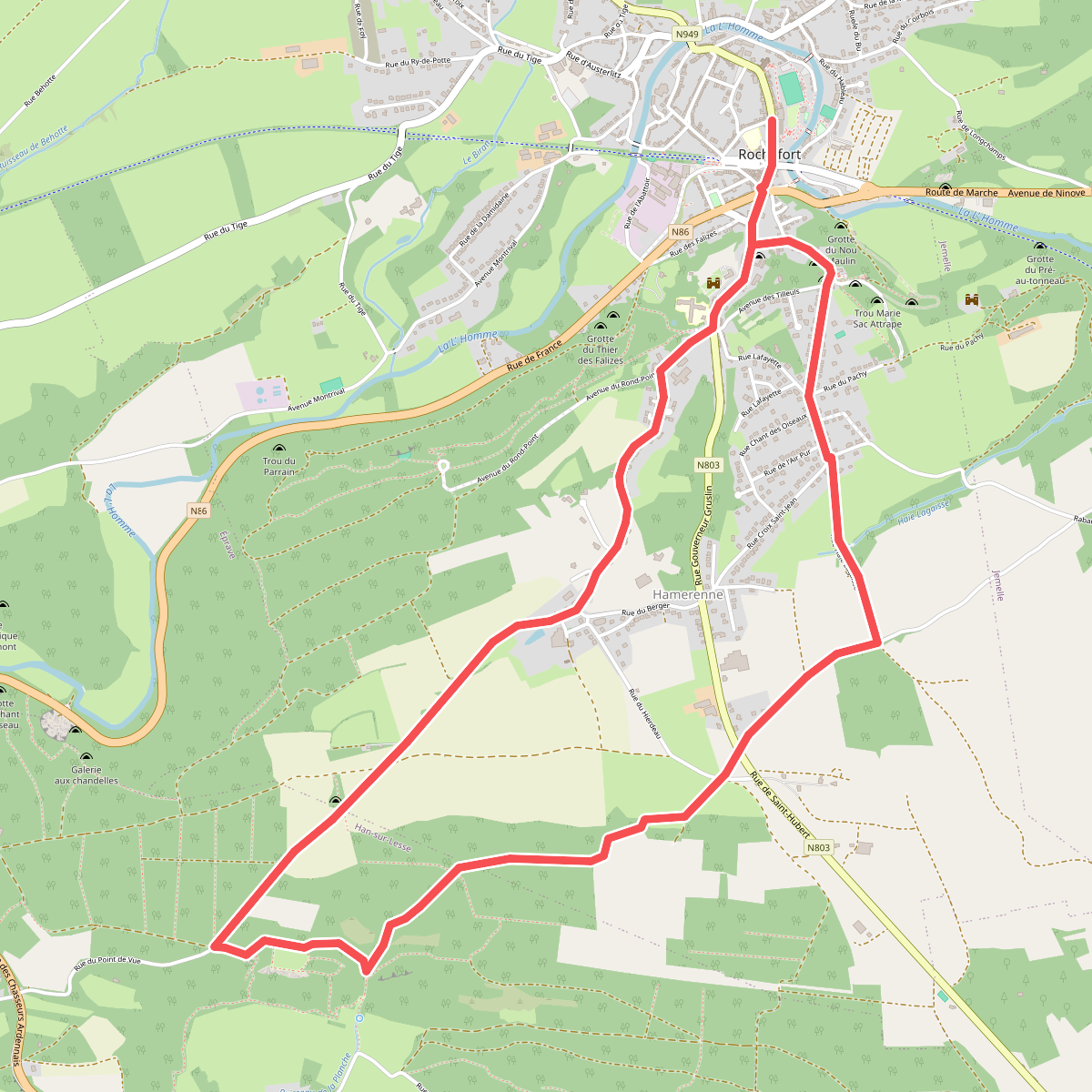
#12. RO19 Belvédère de Han-sur-Lesse
Rochefort,Han-sur-Lesse



