

The best hiking routes in Parc naturel Viroin Hermeton
Discover the best walks in Parc naturel Viroin Hermeton. 64 routes on the map, with descriptions, photos and GPX.
About Parc naturel Viroin Hermeton
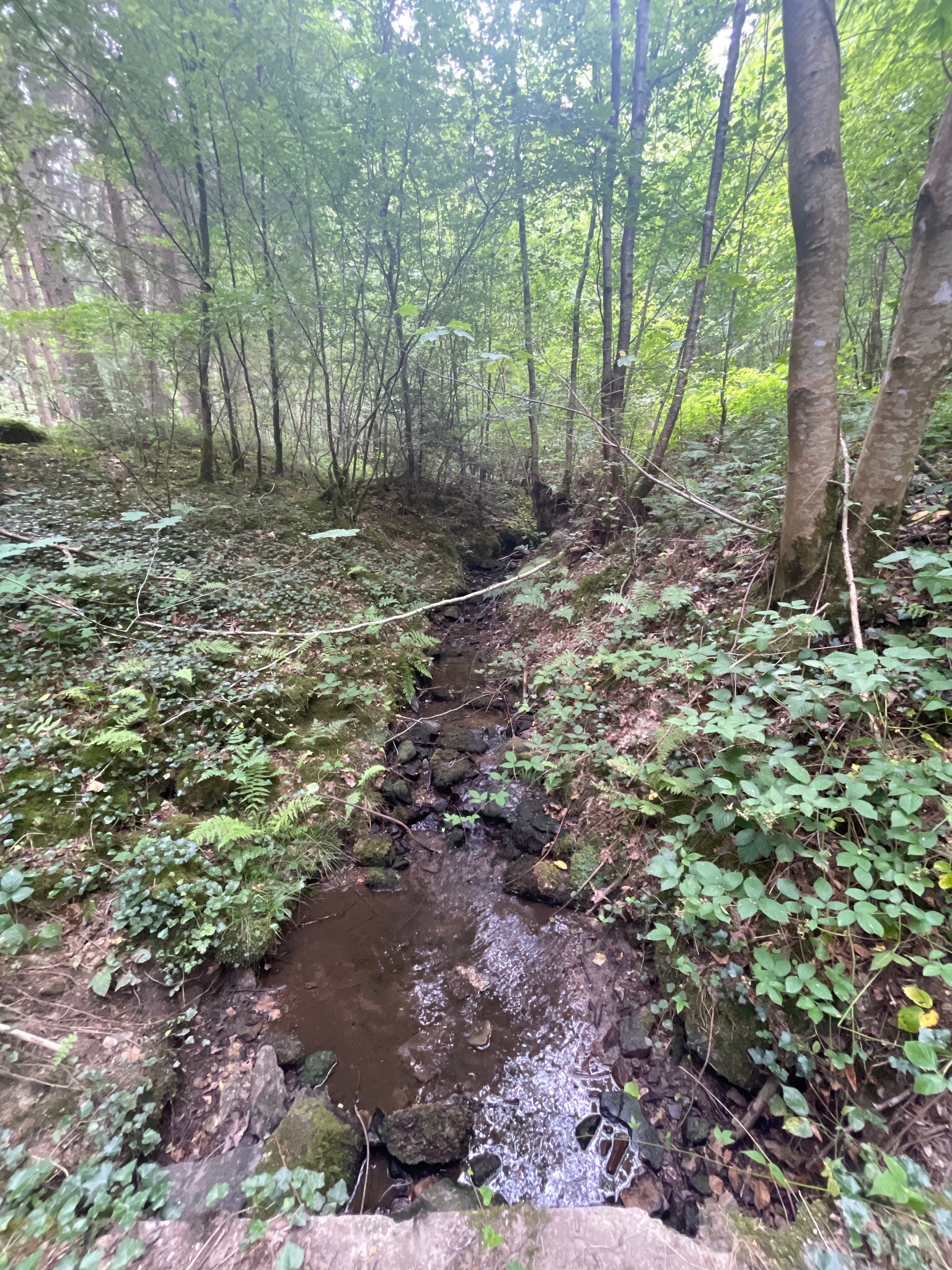
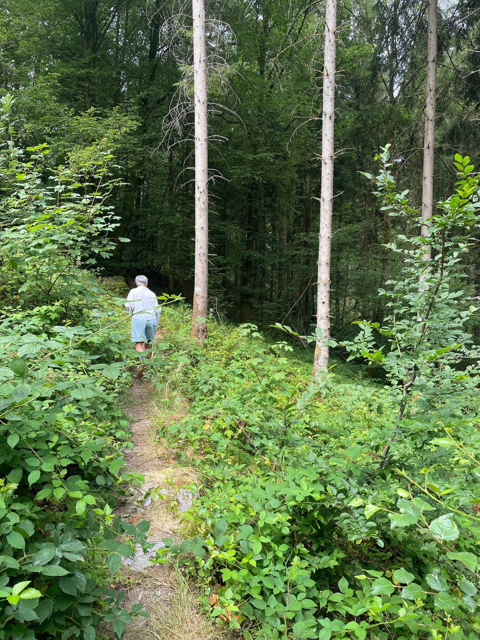
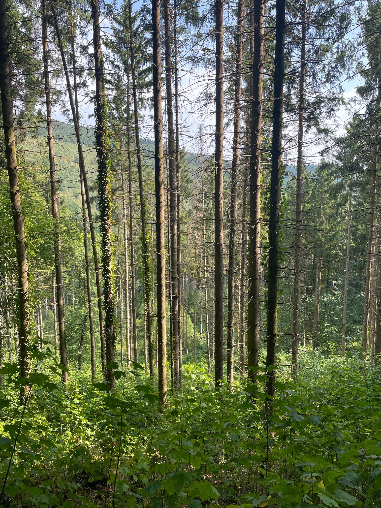
Parc naturel Viroin Hermeton is defined by its sharp geological transitions, where the flat clay plains of the Fagne quickly give way to the narrow limestone strip of the Calestienne. Walking here means moving between two distinct environments. On the limestone hills, the soil is thin and dry, supporting rare calcareous grasslands and wild orchids that bloom in May. Just a short distance away, the landscape shifts into the deep, damp oak and beech forests of the Ardennes foothills, where the ground is heavier and holds much more moisture.
Read more
About Parc naturel Viroin Hermeton
Parc naturel Viroin Hermeton is defined by its sharp geological transitions, where the flat clay plains of the Fagne quickly give way to the narrow limestone strip of the Calestienne. Walking here means moving between two distinct environments. On the limestone hills, the soil is thin and dry, supporting rare calcareous grasslands and wild orchids that bloom in May. Just a short distance away, the landscape shifts into the deep, damp oak and beech forests of the Ardennes foothills, where the ground is heavier and holds much more moisture.
Read moreParc naturel Viroin Hermeton is defined by its sharp geological transitions, where the flat clay plains of the Fagne quickly give way to the narrow limestone strip of the Calestienne. Walking here means moving between two distinct environments. On the limestone hills, the soil is thin and dry, supporting rare calcareous grasslands and wild orchids that bloom in May. Just a short distance away, the landscape shifts into the deep, damp oak and beech forests of the Ardennes foothills, where the ground is heavier and holds much more moisture.
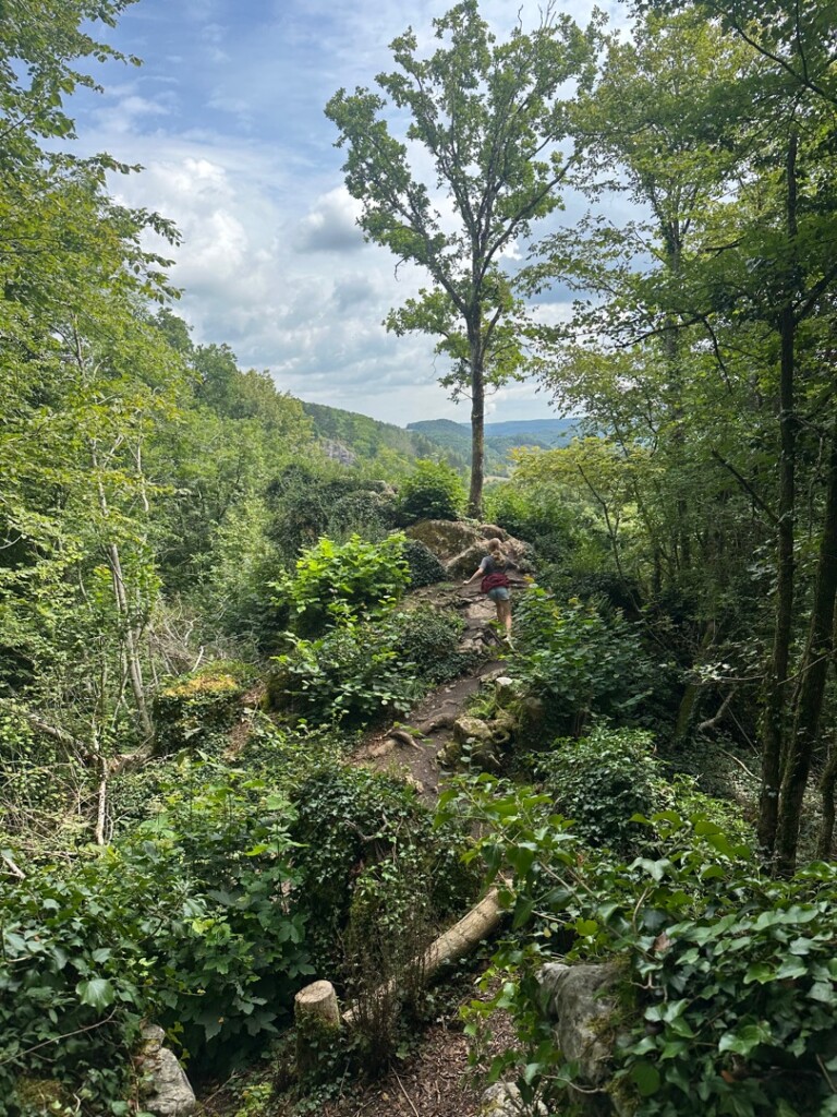
The most striking features you will encounter on the trail are the tiennes, which are steep limestone hills, and the fondrys, massive natural sinkholes carved out by centuries of rainwater eroding the soft rock. The Fondry des Chiens is the most famous of these chasms, showing exposed iron-rich rock formations directly from the path. Underfoot, the tracks change rapidly from loose, stony limestone debris on the exposed ridges to thick, damp loam in the wooded valleys.
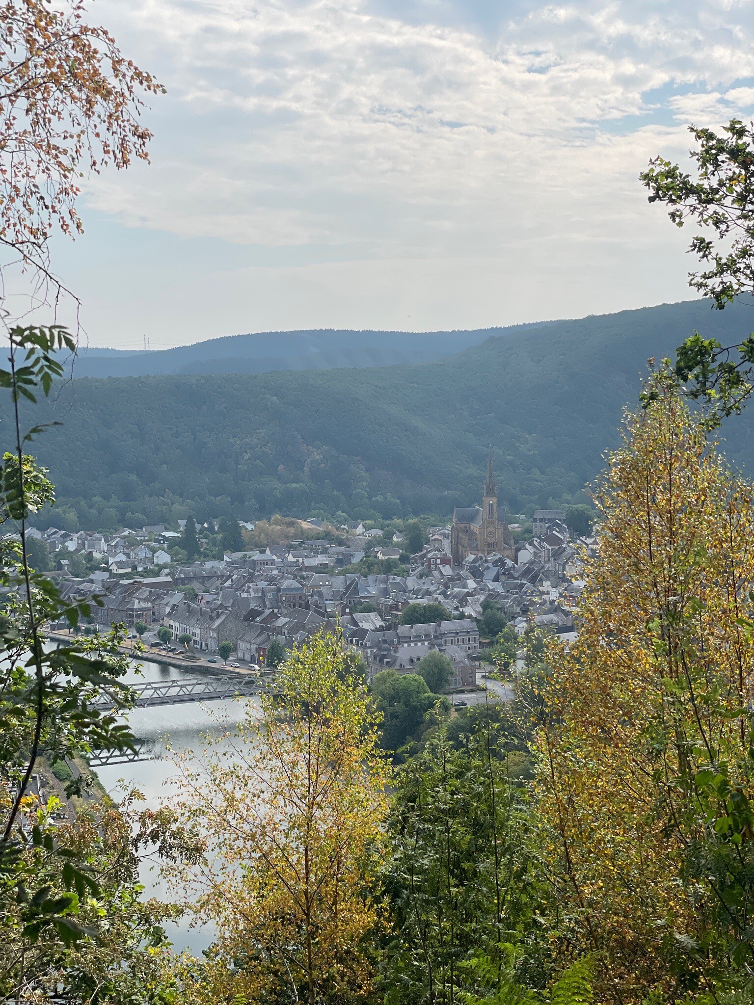
This is a landscape of modest heights and deep, wooded ravines rather than sweeping mountain vistas. While the open limestone commons offer clear views across the immediate valleys, the horizon is always framed by nearby forested ridges. The area is highly accessible via a network of marked paths, though the steep descents into the sinkholes and river valleys require steady footing on loose stone.
Hiking routes in Parc naturel Viroin Hermeton (64)
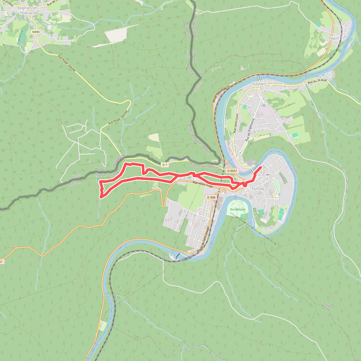
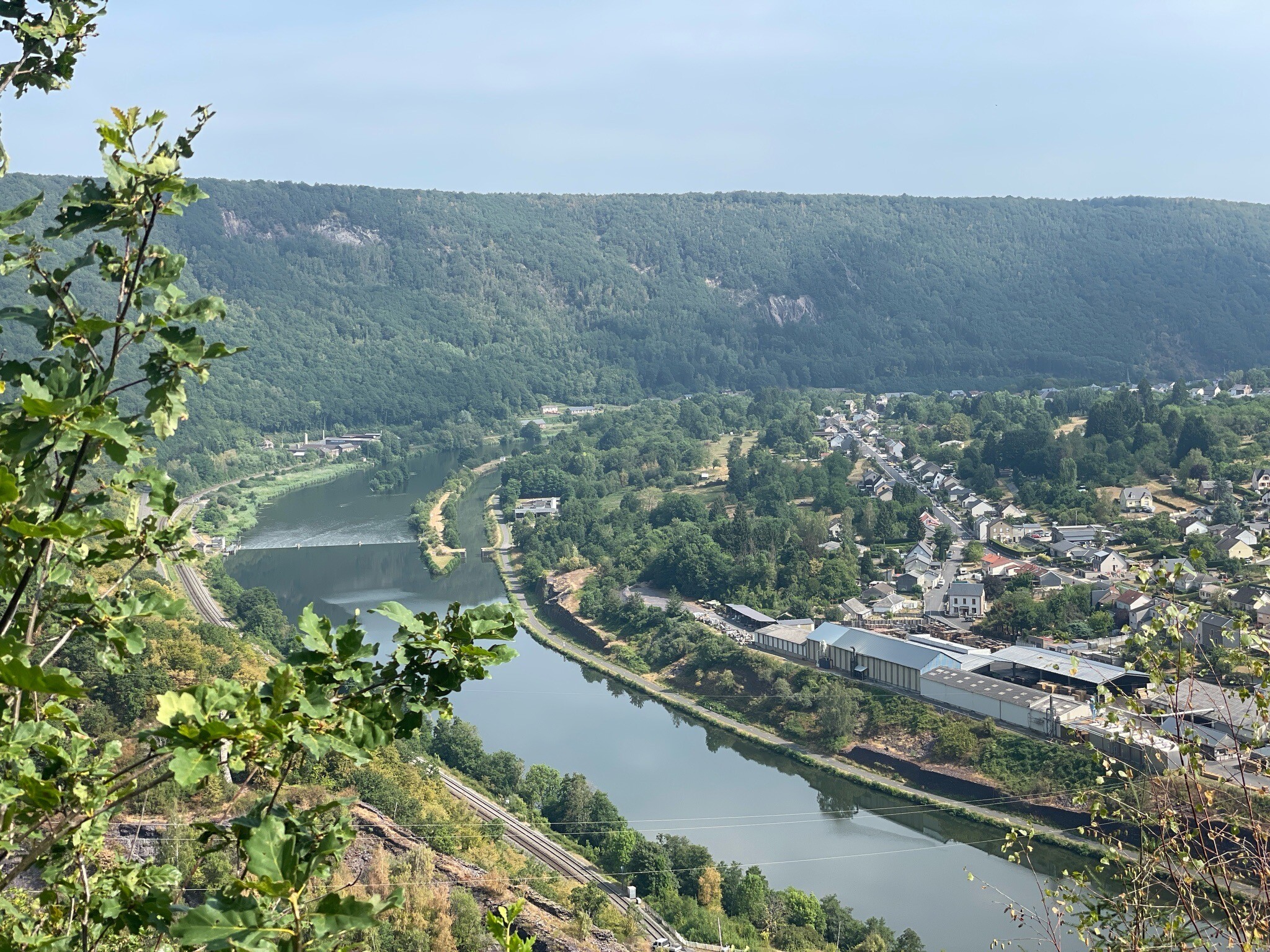
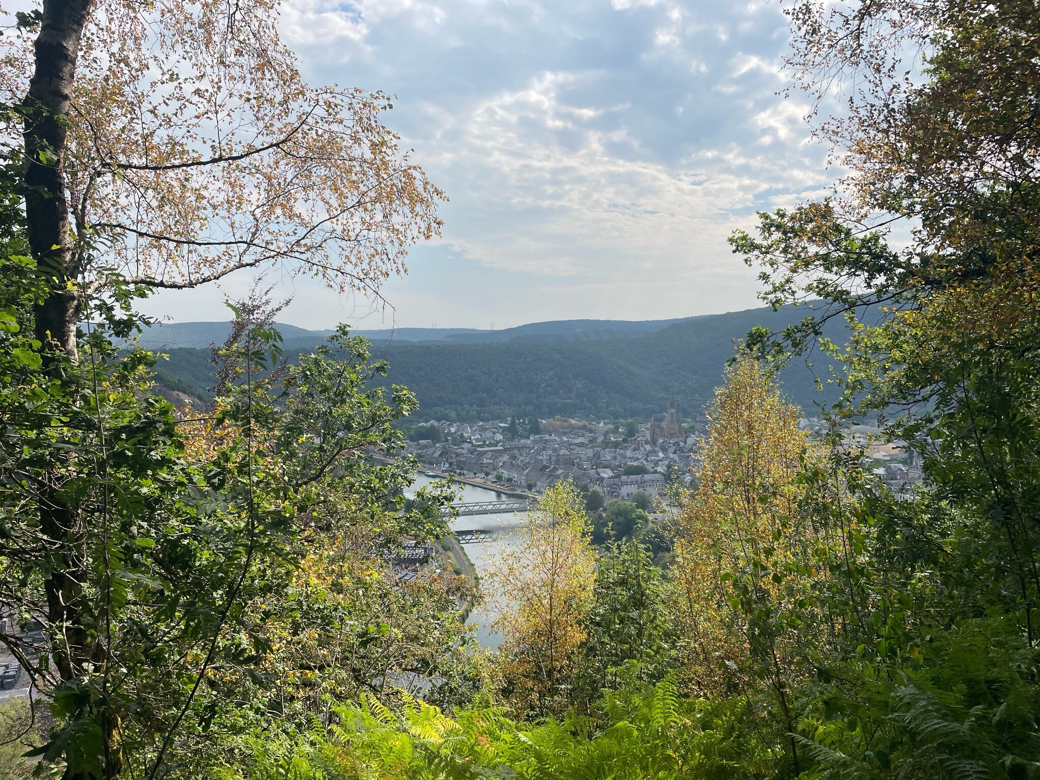
#1. Les Ardoisières de Fumay
Fumay
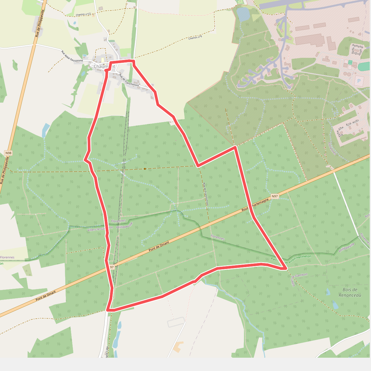
#2. Balade du Pont de Dinant
Florennes,Villers-le-Gambon
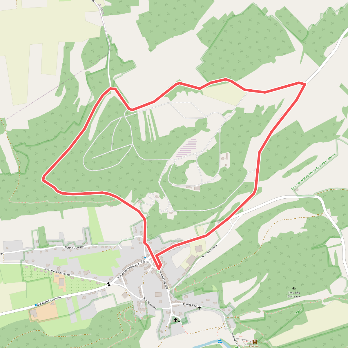
#3. Bayeumont
Dourbes
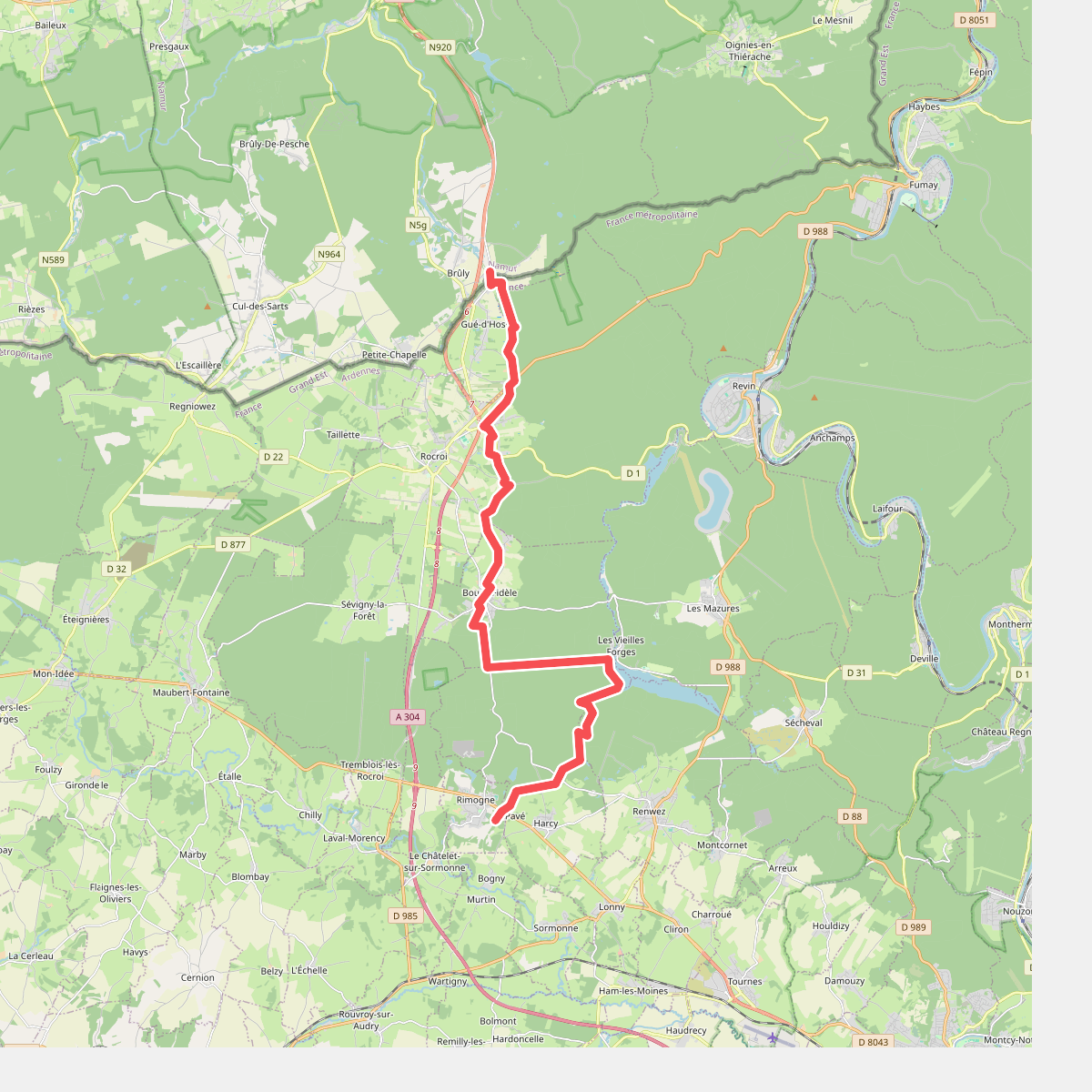
#4. Brûly - Rimogne · GR12 Wallonië etappe 10
Couvin,Gué-d'Hossus,Rocroi,Bourg-Fidèle,Harcy,Rimogne
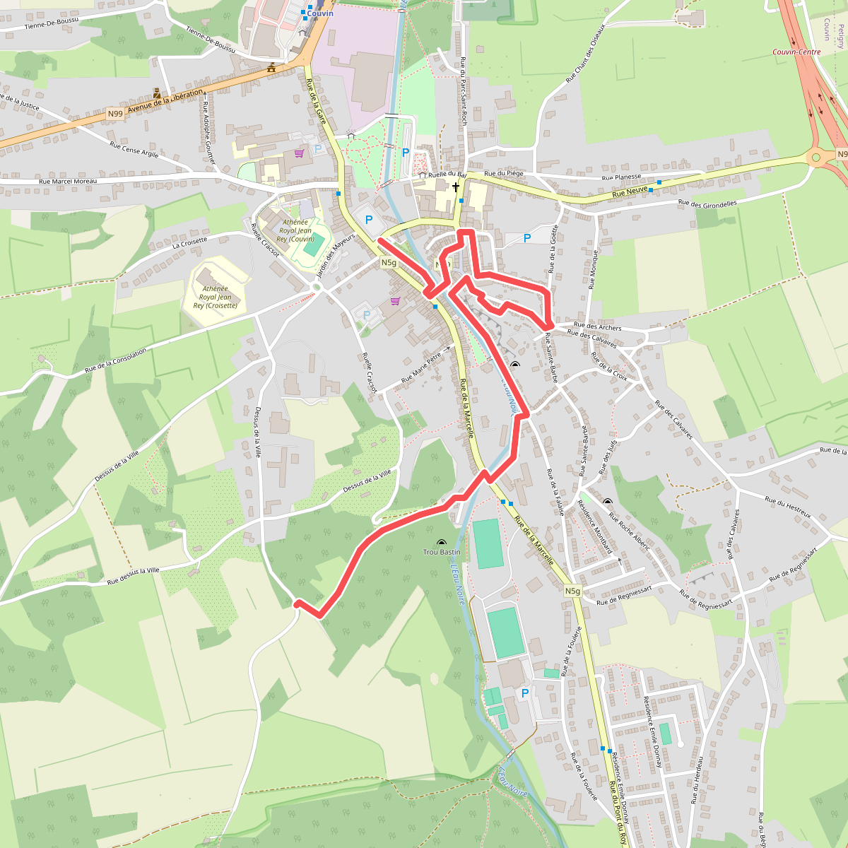
#5. Circuit de Couvin Centre
Couvin
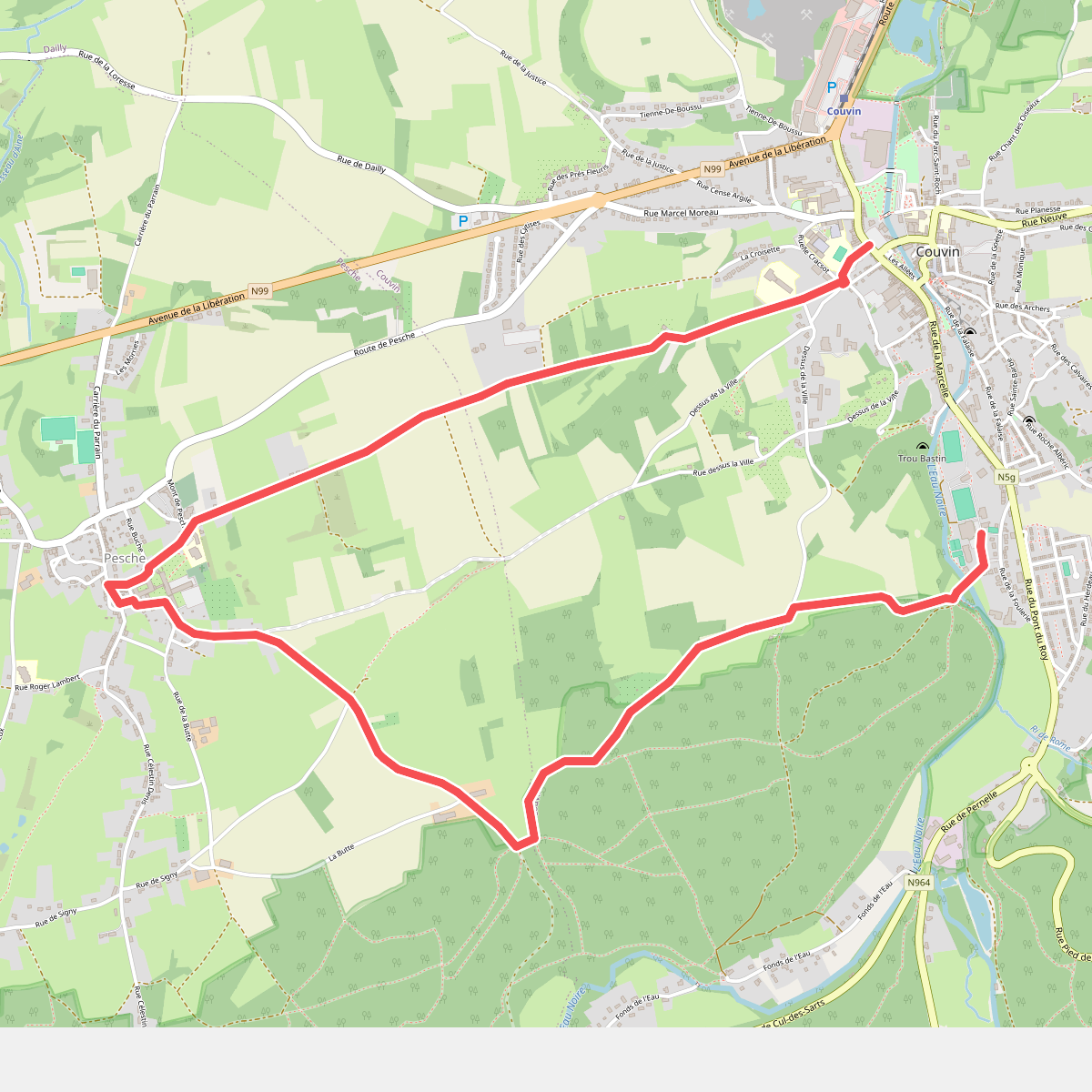
#6. Circuit de la Butte
Couvin,Pesche
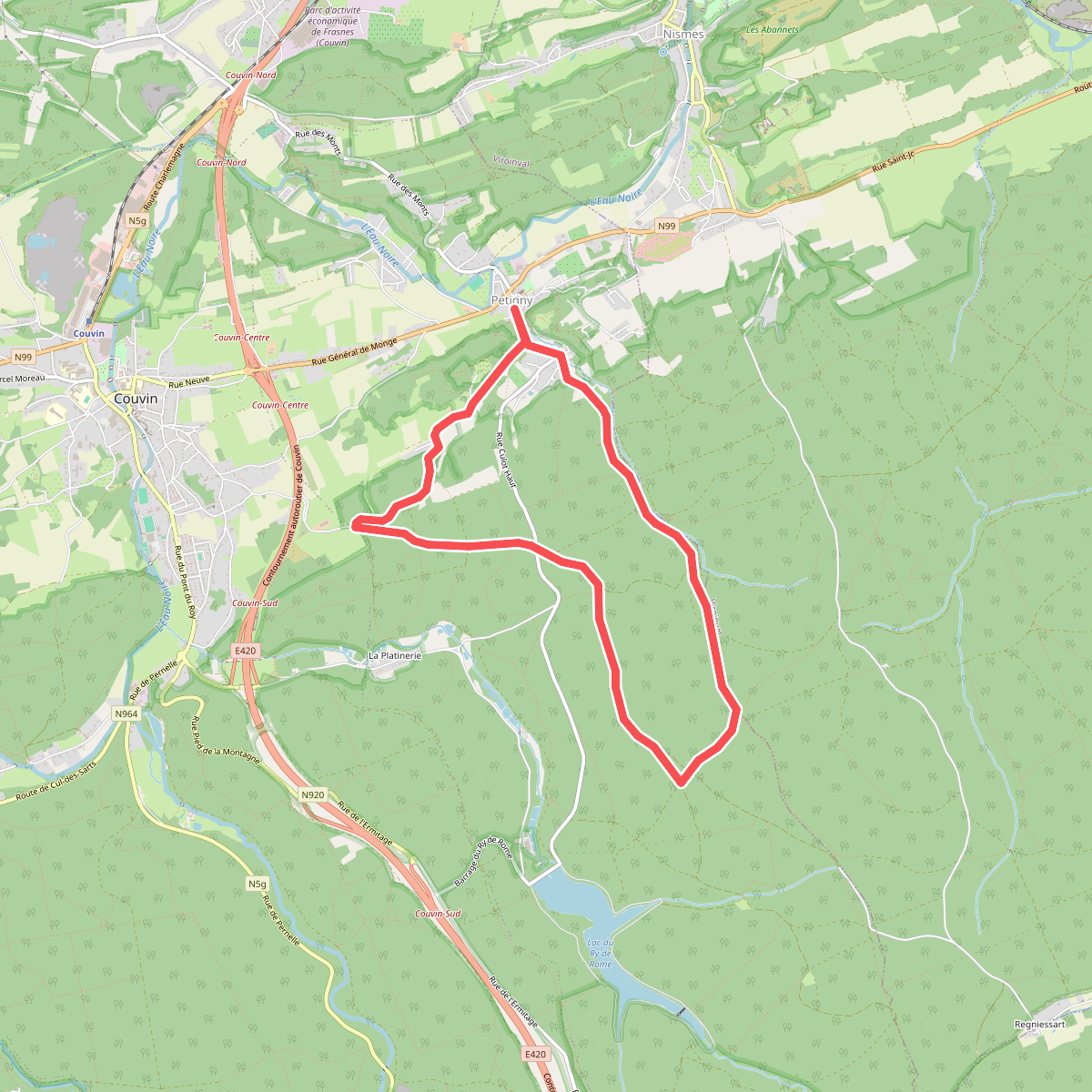
#7. Circuit Saint-Antoine
Petigny,Nismes
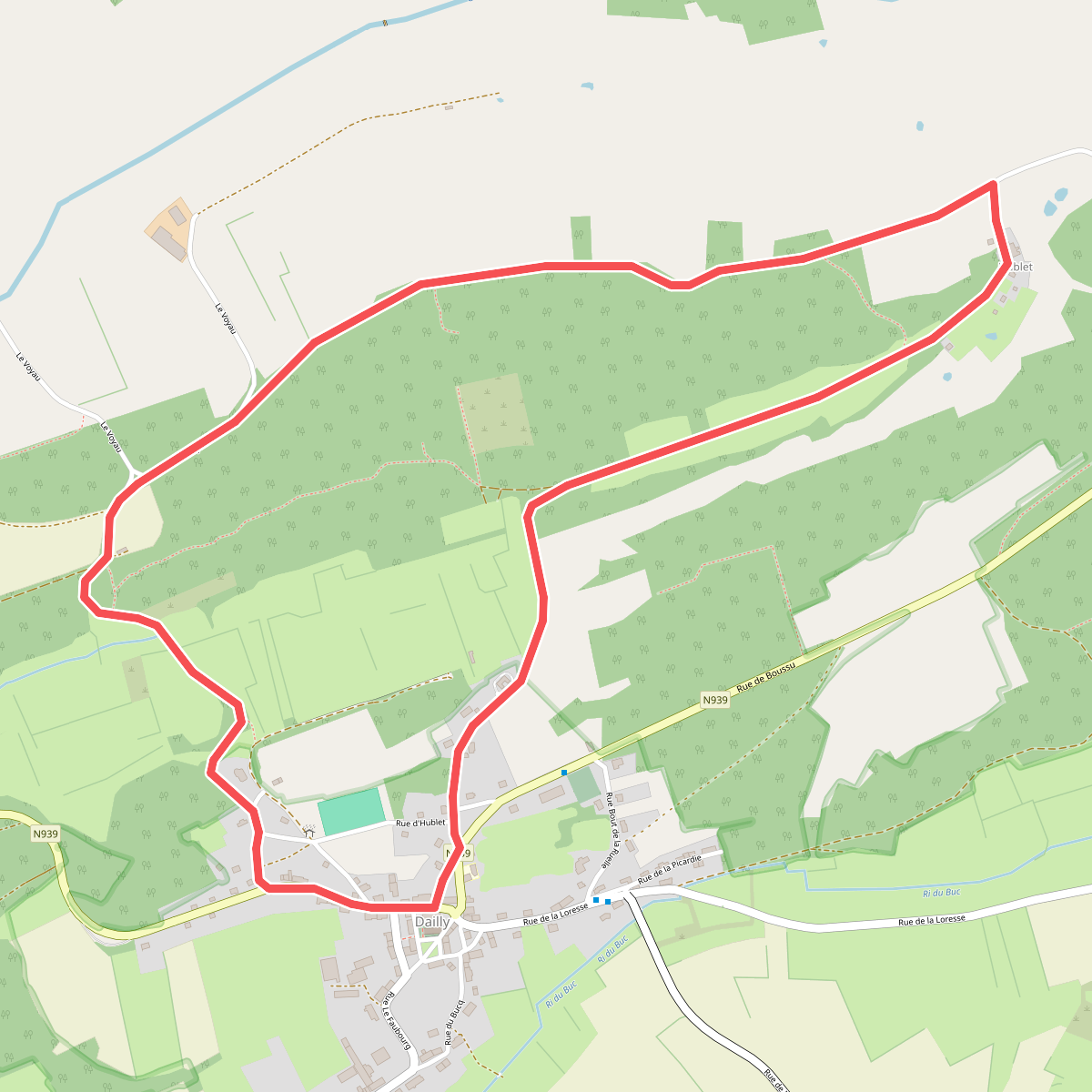
#8. Dailly - Balade à Couvin
Dailly
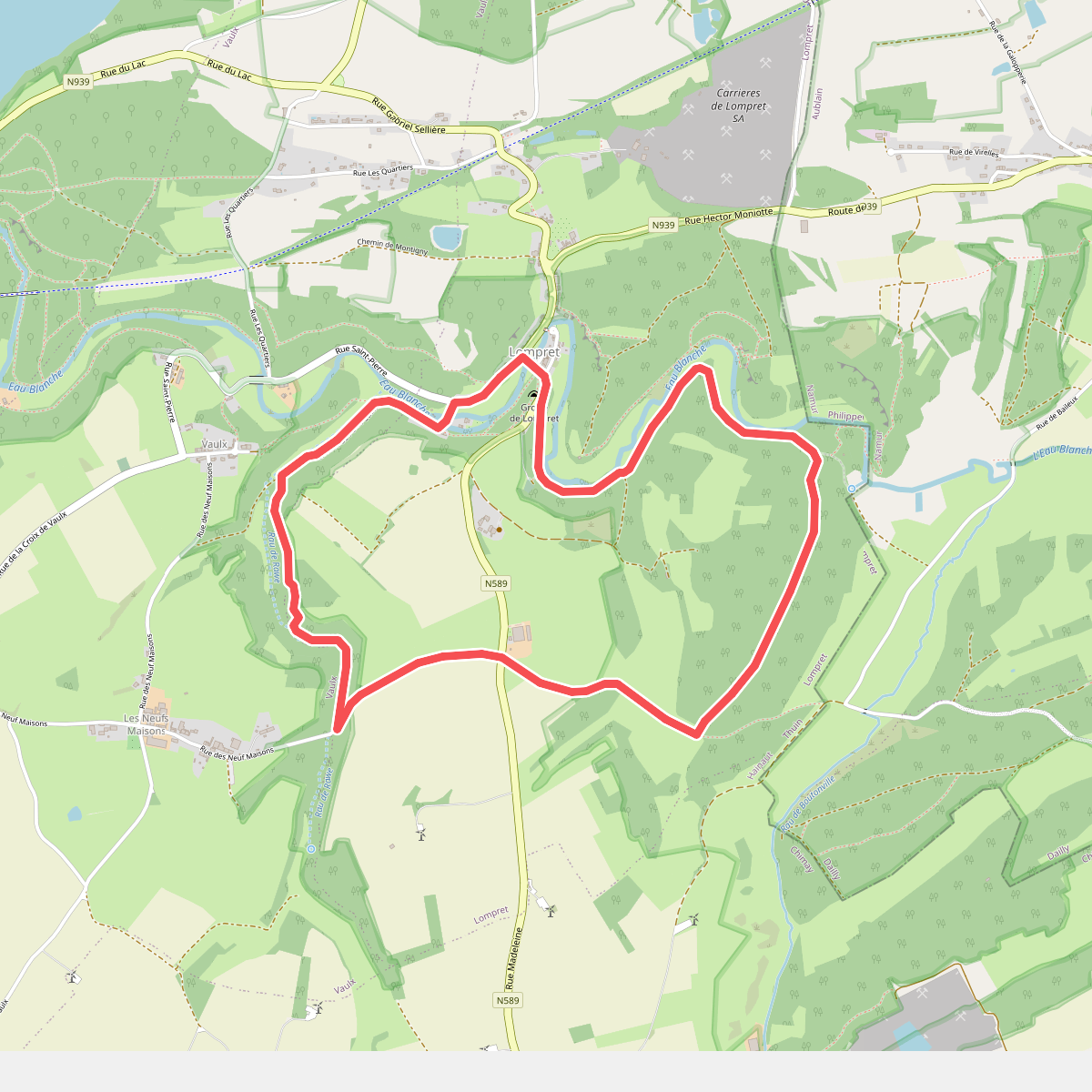
#9. Eau Blanche
Lompret,Vaulx
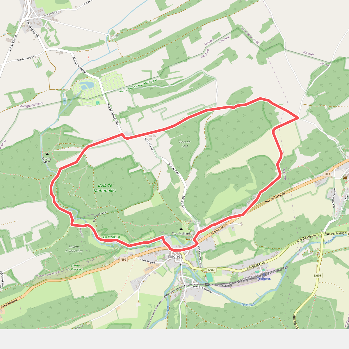
#10. Fays
Treignes,Vierves-sur-Viroin
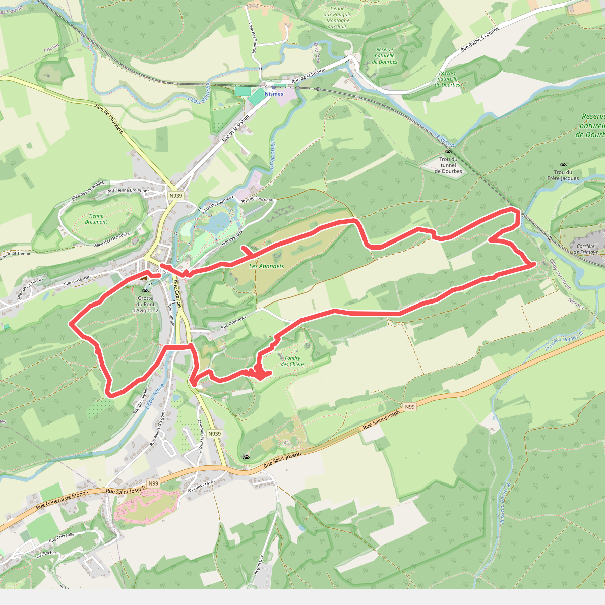
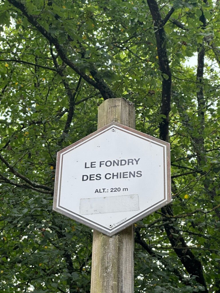
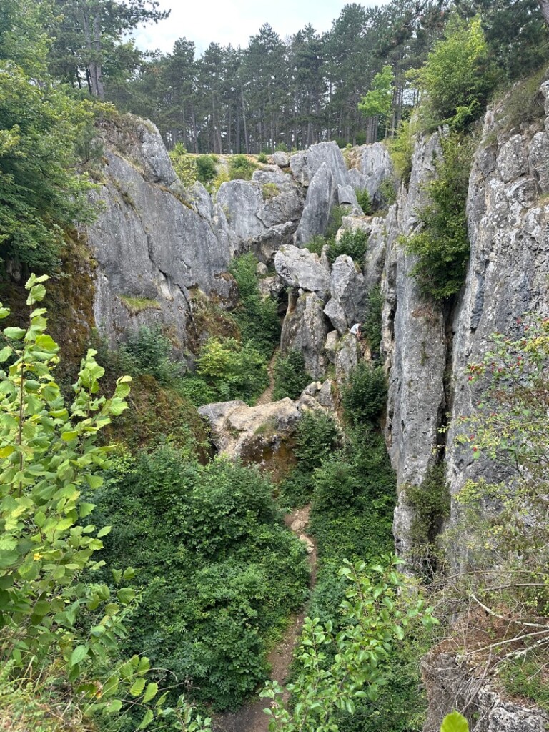
#11. Fondry des Chiens vanuit Nismes
Nismes
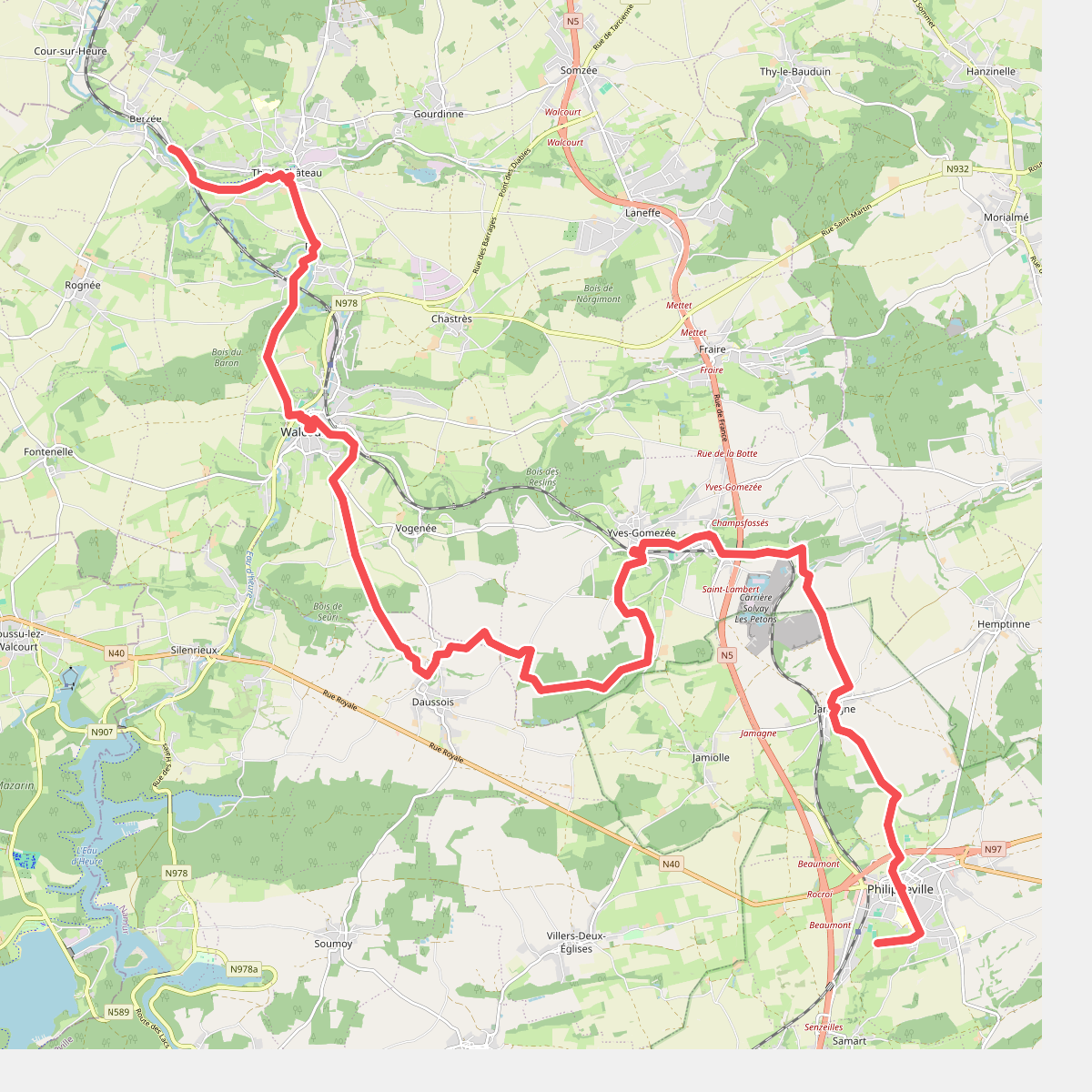
#12. Gare Berzee - Gare Philippeville · GR12 Wallonië etappe 7
Walcourt,Daussois,Philippeville



