

The best hiking routes in Parc national de l’Entre-Sambre-et-Meuse
Discover the best walks in Parc national de l’Entre-Sambre-et-Meuse. 55 routes on the map, with descriptions, photos and GPX.
About Parc national de l’Entre-Sambre-et-Meuse
Parc national de l’Entre-Sambre-et-Meuse spans three distinct geological strips that shape your walk from north to south. In the northern section, the Calestienne limestone belt creates sharp, dry ridges where calcareous grasslands support wild orchids and boxwood shrubs. Walking here means navigating narrow, stony paths over exposed rock. Just a short distance south, the landscape shifts abruptly into the wet, clay-heavy soils of the Fagne depression, where the paths turn to thick silt and boardwalks are occasionally used to cross the dampest oak-hornbeam forests.
Read more
About Parc national de l’Entre-Sambre-et-Meuse
Parc national de l’Entre-Sambre-et-Meuse spans three distinct geological strips that shape your walk from north to south. In the northern section, the Calestienne limestone belt creates sharp, dry ridges where calcareous grasslands support wild orchids and boxwood shrubs. Walking here means navigating narrow, stony paths over exposed rock. Just a short distance south, the landscape shifts abruptly into the wet, clay-heavy soils of the Fagne depression, where the paths turn to thick silt and boardwalks are occasionally used to cross the dampest oak-hornbeam forests.
Read moreParc national de l’Entre-Sambre-et-Meuse spans three distinct geological strips that shape your walk from north to south. In the northern section, the Calestienne limestone belt creates sharp, dry ridges where calcareous grasslands support wild orchids and boxwood shrubs. Walking here means navigating narrow, stony paths over exposed rock. Just a short distance south, the landscape shifts abruptly into the wet, clay-heavy soils of the Fagne depression, where the paths turn to thick silt and boardwalks are occasionally used to cross the dampest oak-hornbeam forests.
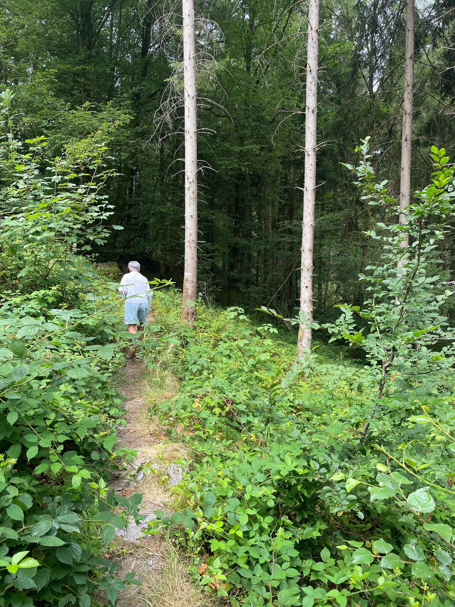
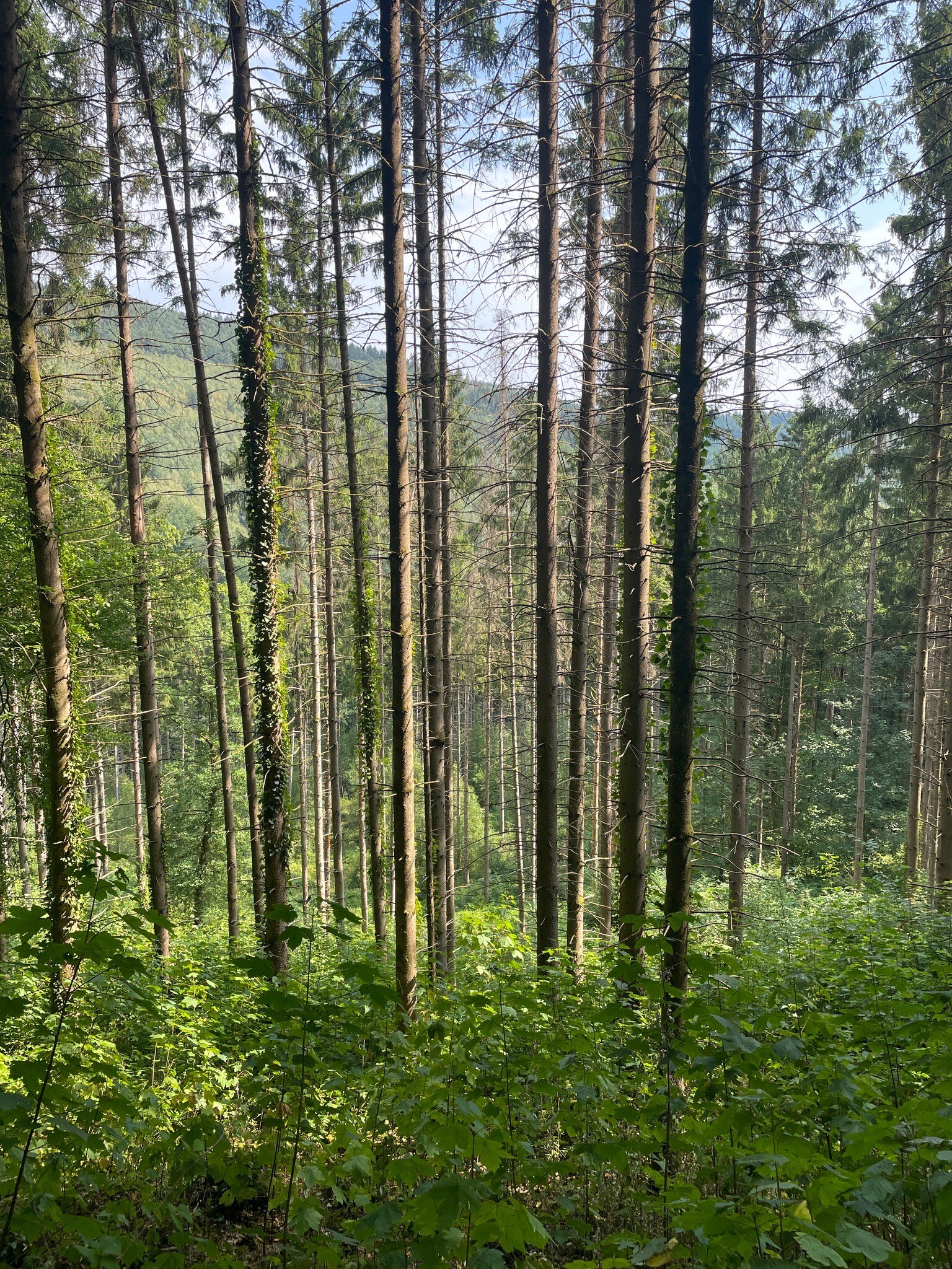
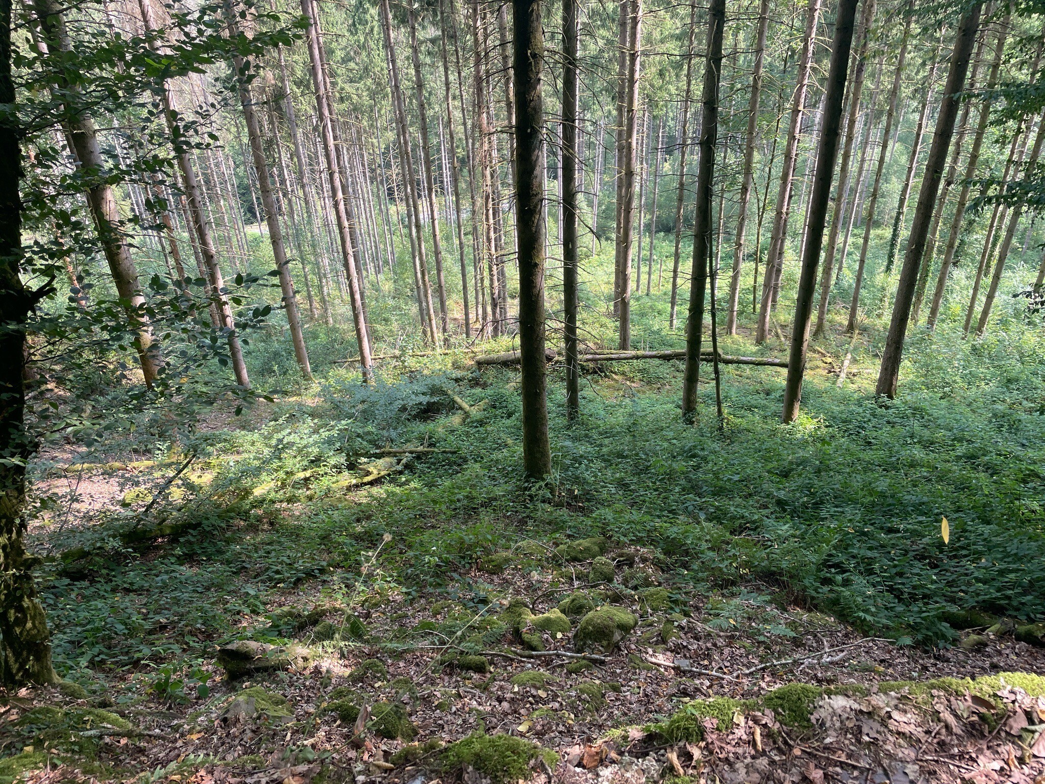
Further south, the park rises into the Ardennes foothills, where acidic soils support dense beech and spruce plantations. Here, the underfoot terrain changes to wide, gravelly forestry tracks and soft needle litter. Unlike mountainous regions, this park offers no dramatic peaks or deep gorges; instead, walkers will encounter a gently rolling landscape of quiet river valleys, small agricultural fields, and damp woodland clearings.
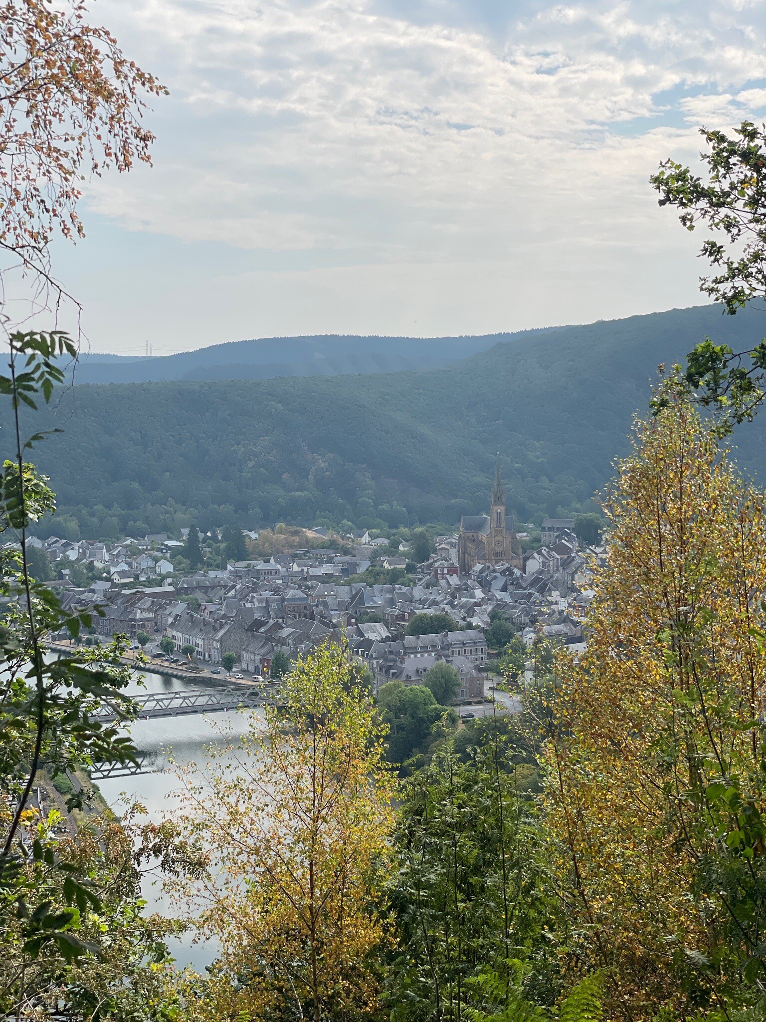
Because of the varied geology, water is a constant presence on the trail. You will cross small, slow-flowing streams and walk alongside limestone sinkholes where rivers disappear underground. While the popular forest trails near the Viroin valley see regular foot traffic, the dense pine blocks in the southern section offer a much quieter walking experience on forestry tracks.
Hiking routes in Parc national de l’Entre-Sambre-et-Meuse (55)
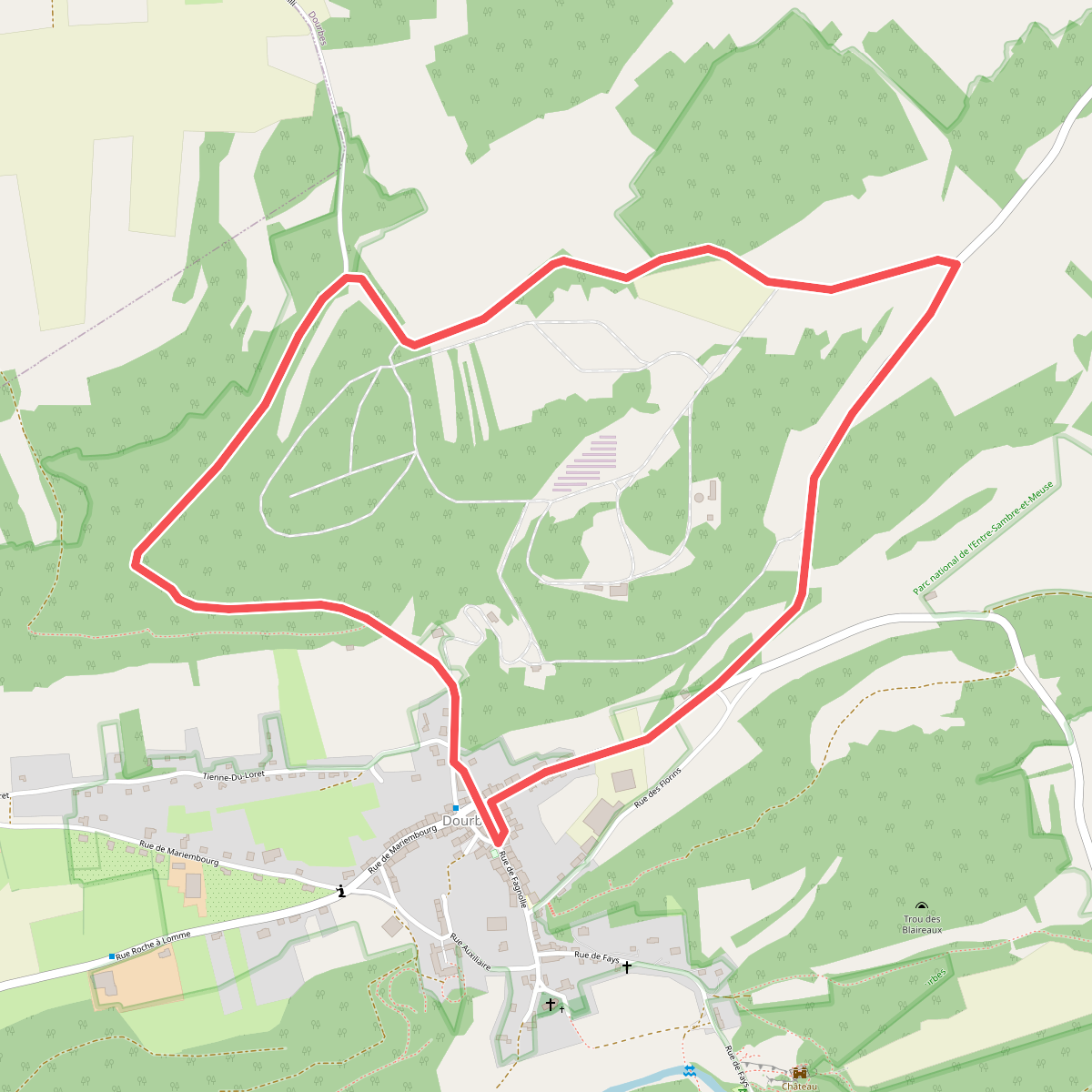
#1. Bayeumont
Dourbes
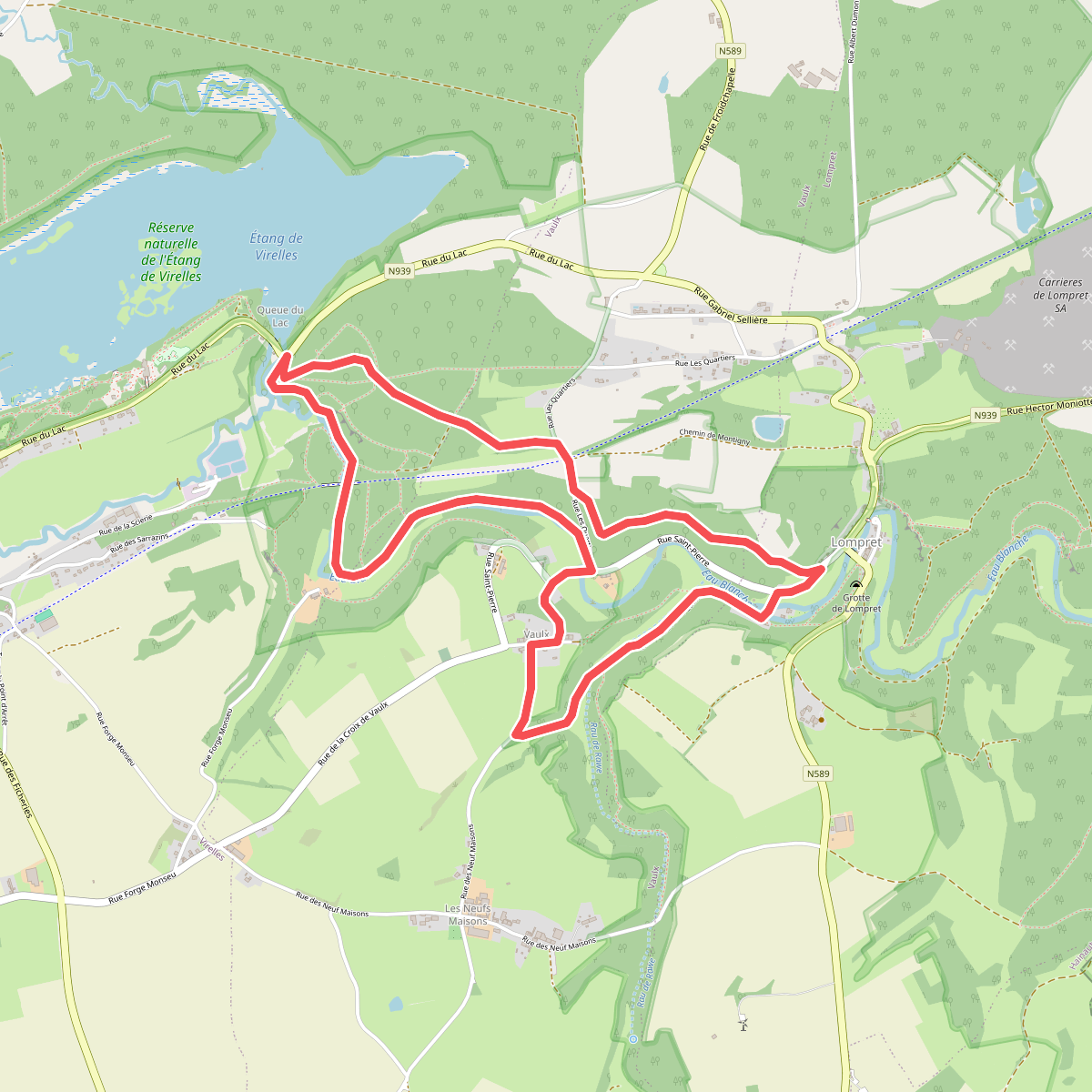
#2. Bois de Blaimont
Virelles,Vaulx,Lompret
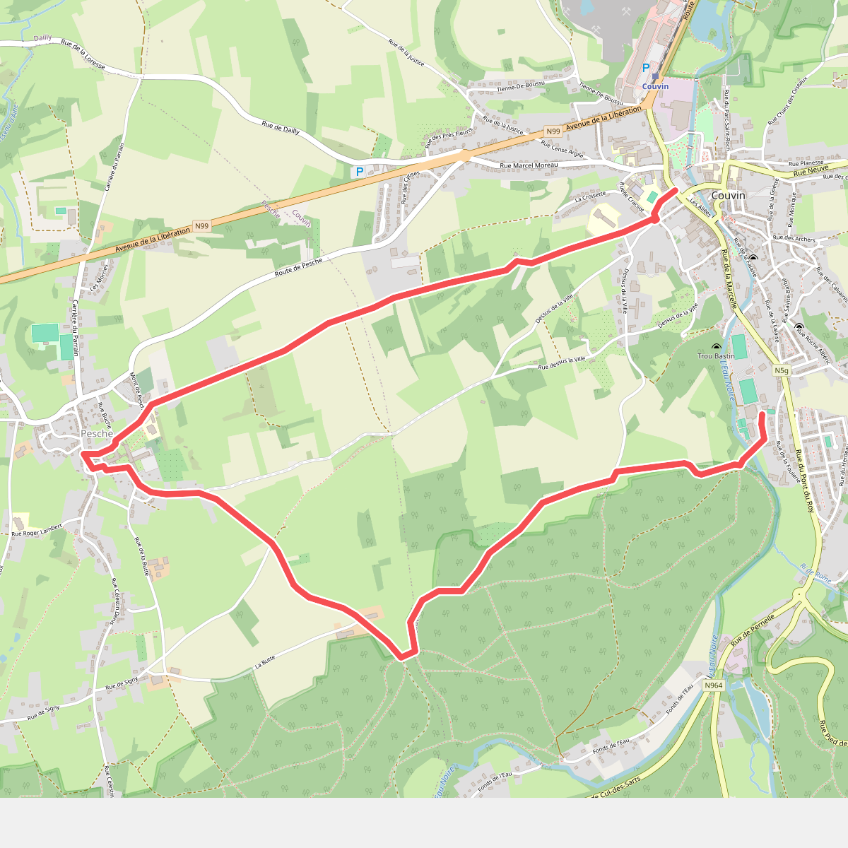
#3. Circuit de la Butte
Couvin,Pesche
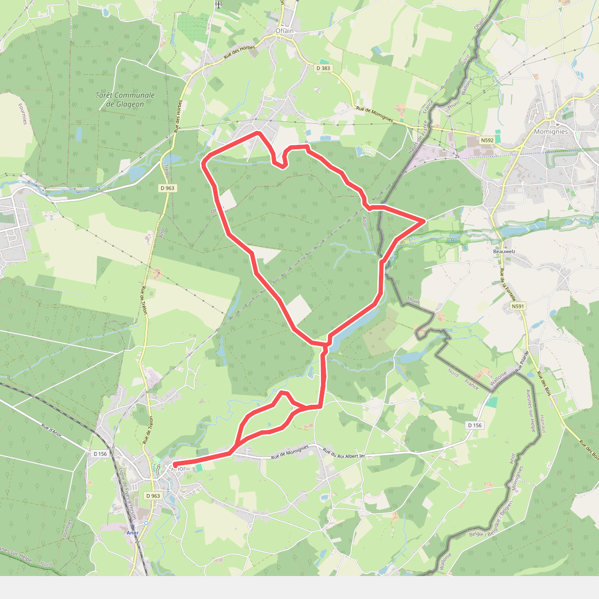
#4. Circuit des Gabelous (longue)
Anor,Momignies,Ohain
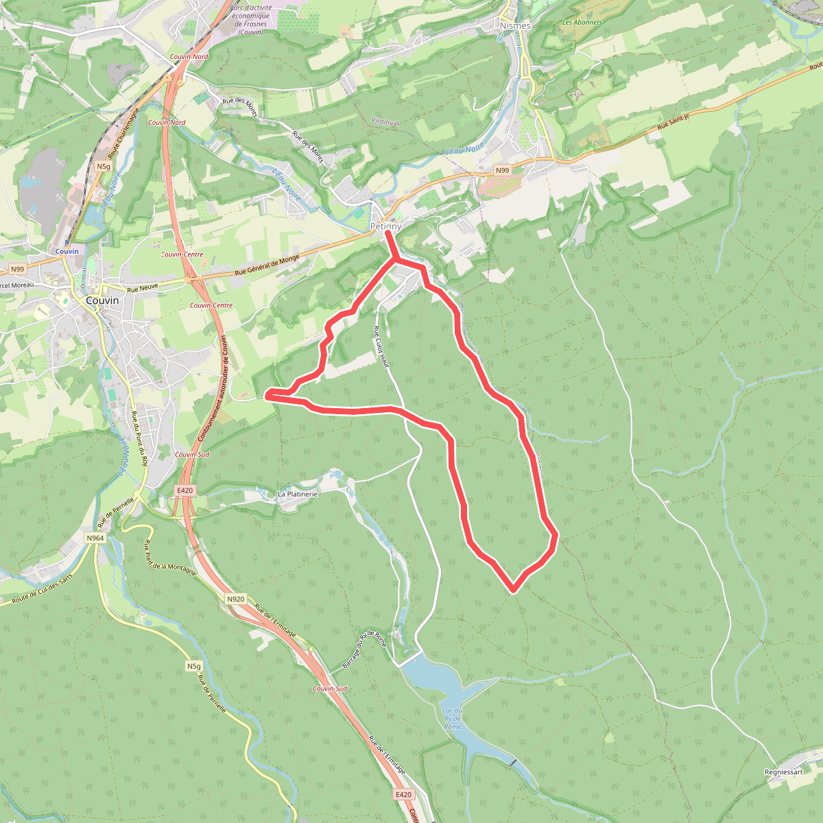
#5. Circuit Saint-Antoine
Petigny,Nismes
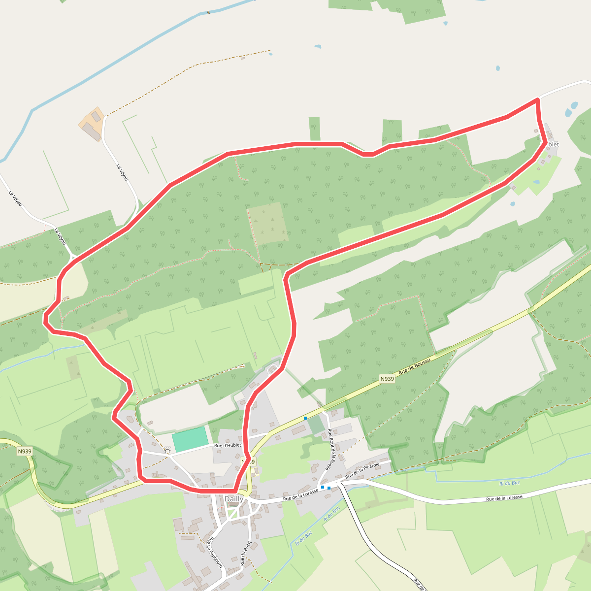
#6. Dailly - Balade à Couvin
Dailly
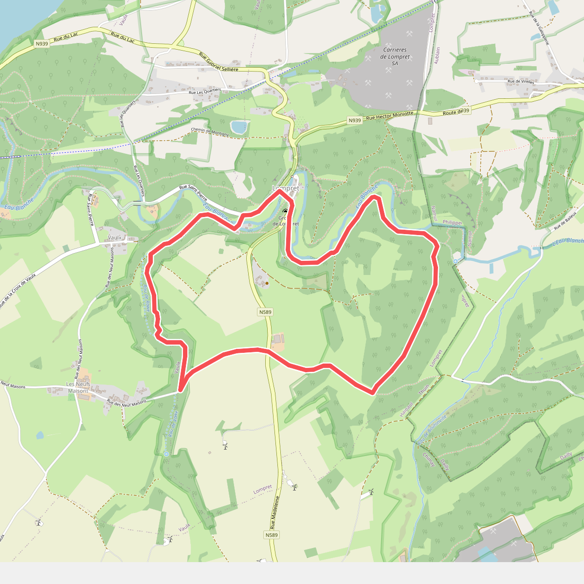
#7. Eau Blanche
Lompret,Vaulx
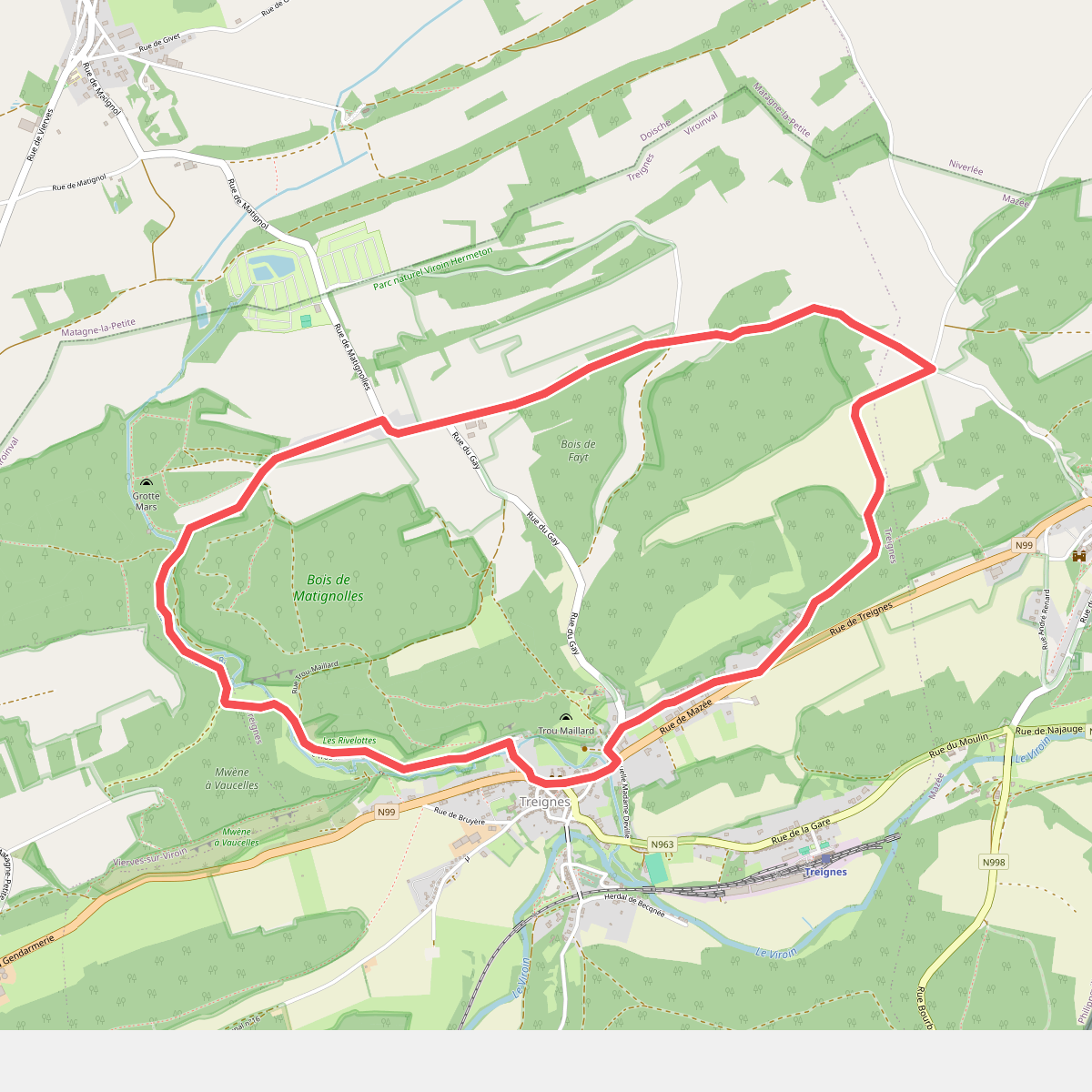
#8. Fays
Treignes,Vierves-sur-Viroin
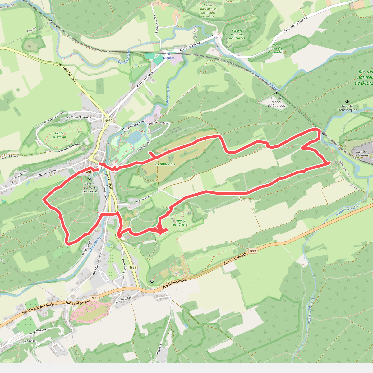
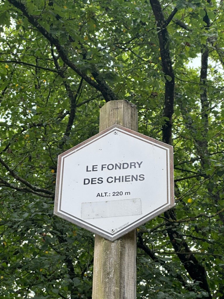
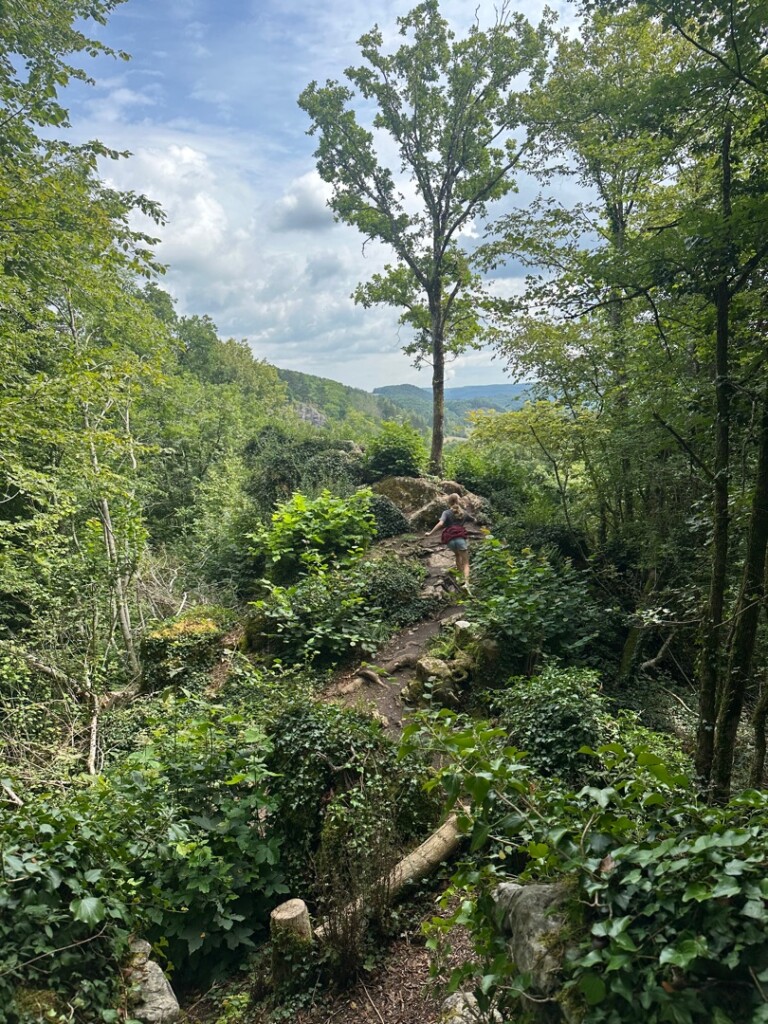
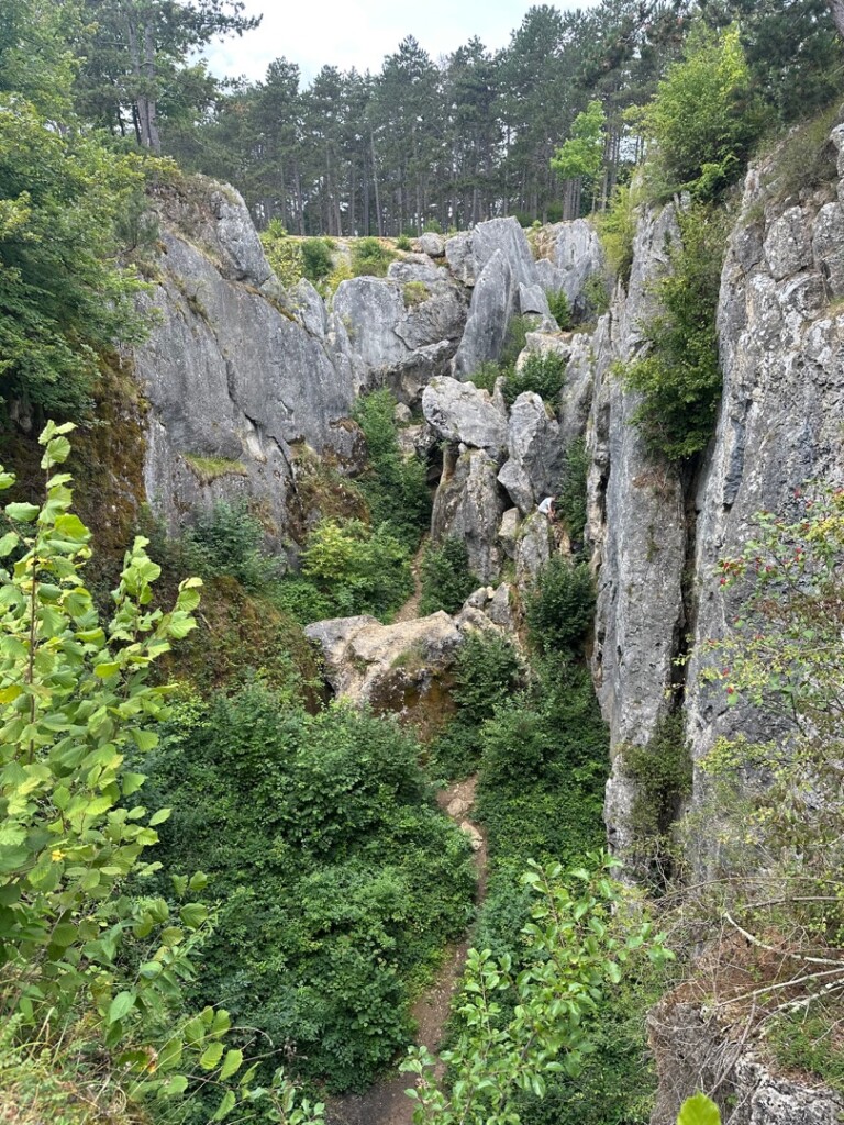
#9. Fondry des Chiens vanuit Nismes
Nismes
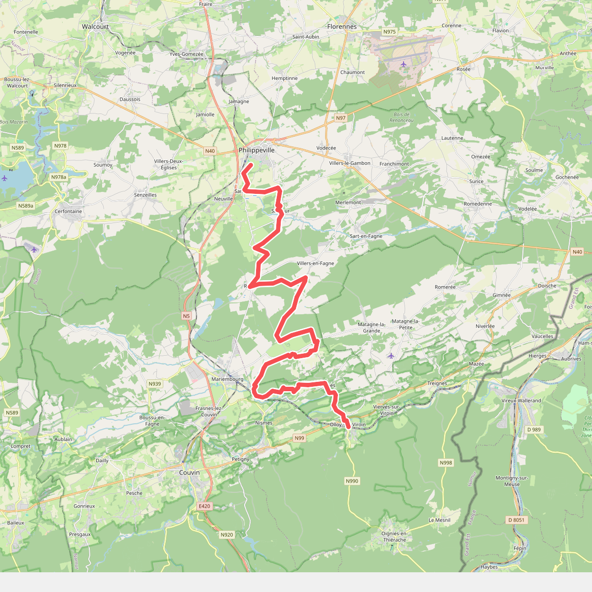
#10. Gare Philippeville - Olloy-sur-Viroin · GR12 Wallonië etappe 8
Philippeville,Nismes,Dourbes,Olloy-sur-Viroin
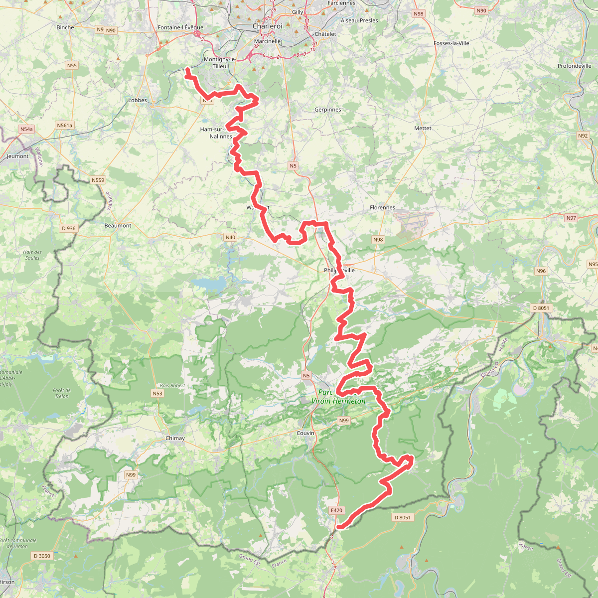
#11. GR 12 Wallonie, Fontaine-l'Évêque - Brûly-de-Pesche
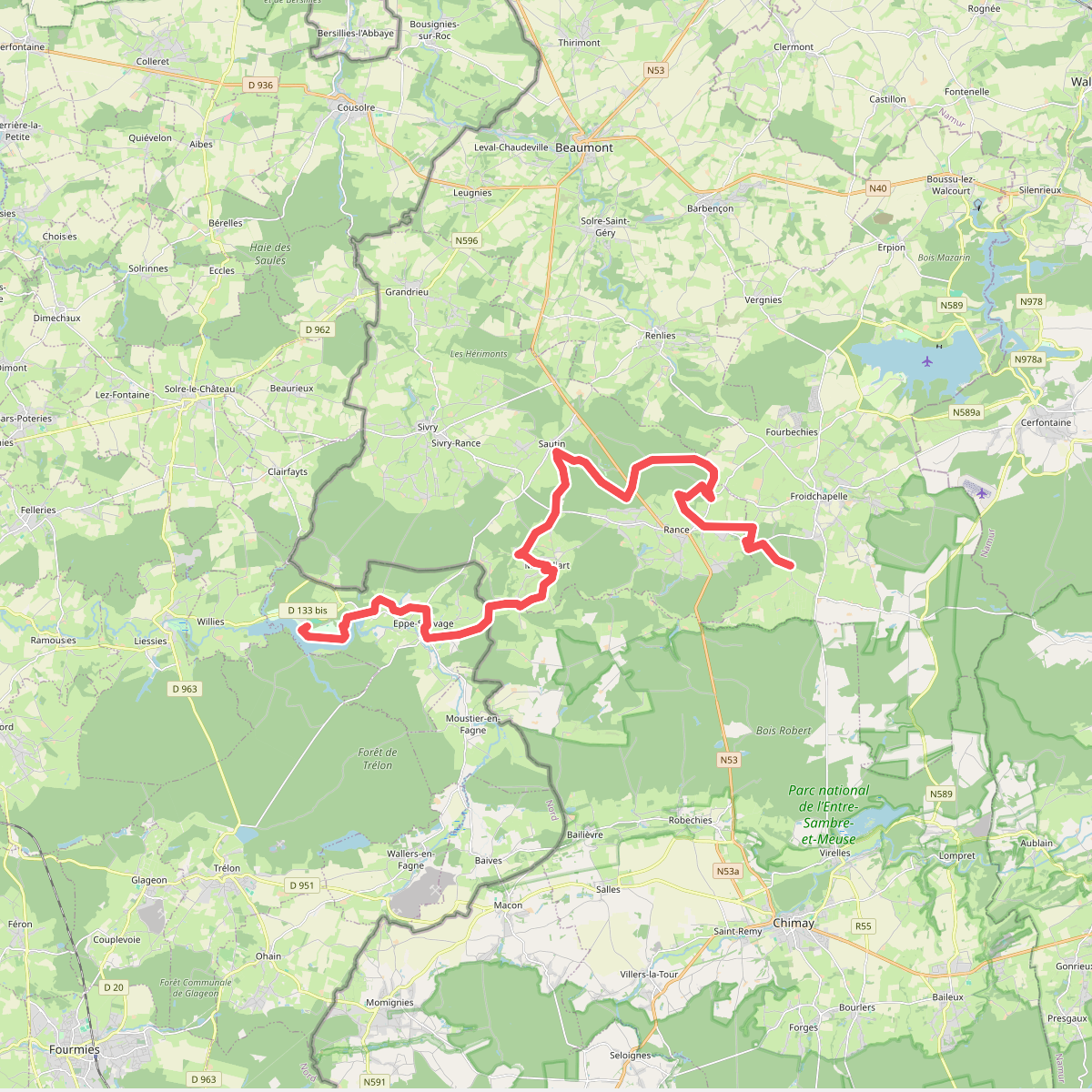
#12. GRP 125 Liaison Lac de Val Joly
Froidchapelle,Rance,Fourbechies,Sautin,Montbliart,Eppe-Sauvage



