

The best hiking routes in Antwerp
Discover the best walks in Antwerp. 323 routes on the map, with descriptions, photos and GPX.
About Antwerp
Antwerp is a low-lying city shaped by its wide river, the Scheldt, and its massive industrial port. Walking here does not offer deep forests or rolling hills, but rather a stark contrast between paved historic alleys, concrete docklands, and flat, grassy polders. The terrain underfoot is mostly hard asphalt, cobblestones, and packed gravel, with occasional sandy patches near the riverbanks.
Read more
About Antwerp
Antwerp is a low-lying city shaped by its wide river, the Scheldt, and its massive industrial port. Walking here does not offer deep forests or rolling hills, but rather a stark contrast between paved historic alleys, concrete docklands, and flat, grassy polders. The terrain underfoot is mostly hard asphalt, cobblestones, and packed gravel, with occasional sandy patches near the riverbanks.
Read moreAntwerp is a low-lying city shaped by its wide river, the Scheldt, and its massive industrial port. Walking here does not offer deep forests or rolling hills, but rather a stark contrast between paved historic alleys, concrete docklands, and flat, grassy polders. The terrain underfoot is mostly hard asphalt, cobblestones, and packed gravel, with occasional sandy patches near the riverbanks.
Because the city has no large natural parks within its core, walkers must choose between two distinct atmospheres. To the west, the pedestrian underpass leads to the Left Bank, where wide, grassy dikes and muddy tidal flats offer open views of the shipping channels and the city skyline. In contrast, walking through the old center means navigating narrow stone passages, interior courtyards, and busy quaysides where the city meets the water.
In late autumn, particularly around November, the damp river mist often settles over the harbor docks, turning the cranes and brick warehouses into gray silhouettes. The waterfront paths are highly exposed to the elements, while the narrow streets of the old town offer more shelter. You will find that the central historic lanes are often busy with shoppers and visitors, whereas the northern docklands and the far ends of the river dikes are much quieter.
Nature areas in Antwerp
Zoom or pan for more routes
Hiking routes in Antwerp (323)
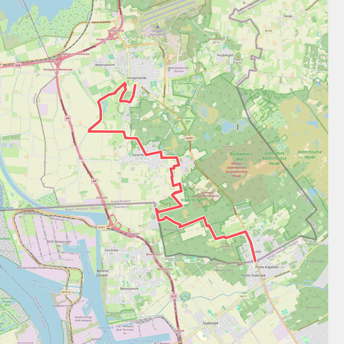
#1. Putte - Hoogerheide · Brabantse Wal etappe 5
Hoogerheide,Woensdrecht,Ossendrecht,Putte
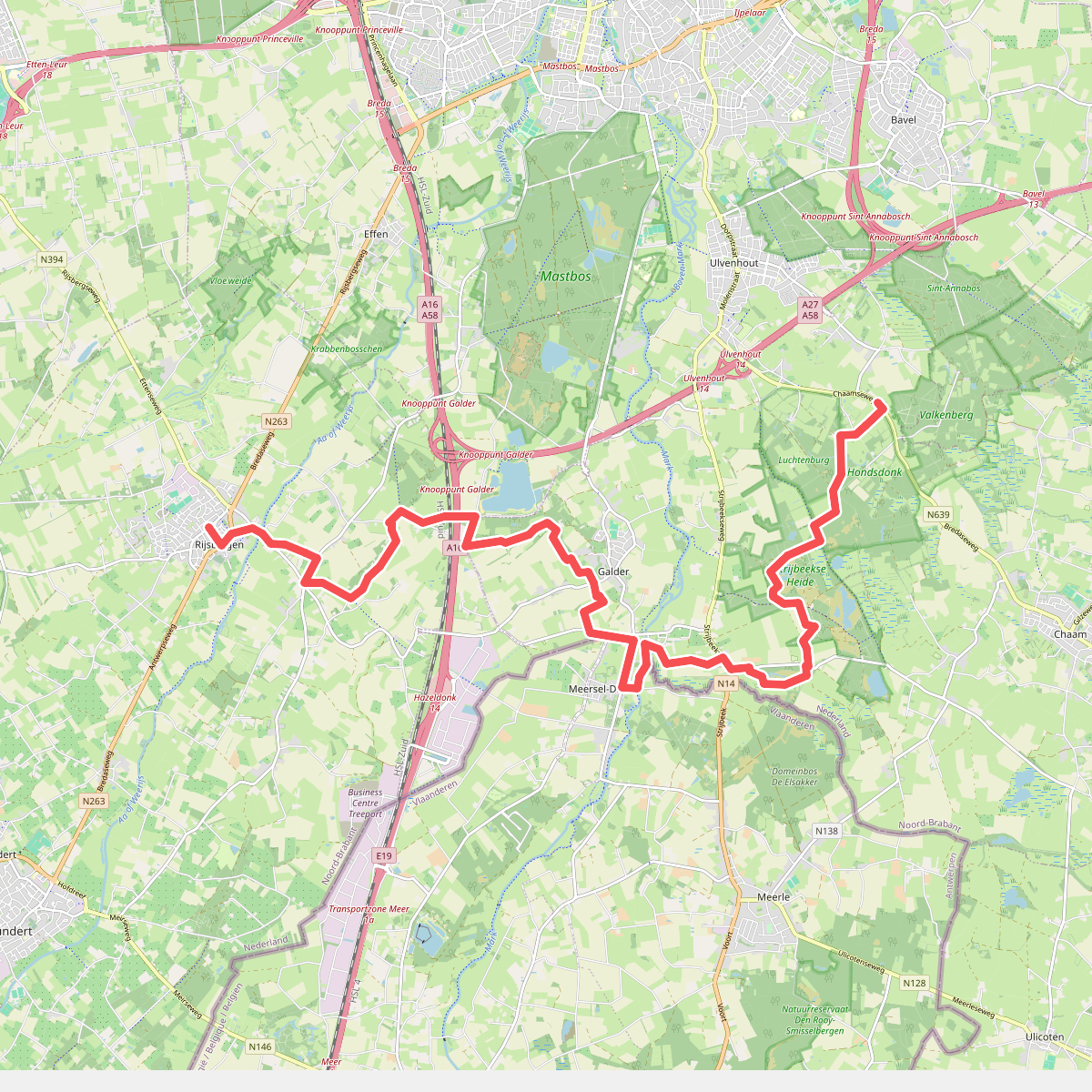
#2. Rijsbergen - N639 · Grenslandpad etappe 10
Ulvenhout AC,Strijbeek,Galder,Breda,Rijsbergen
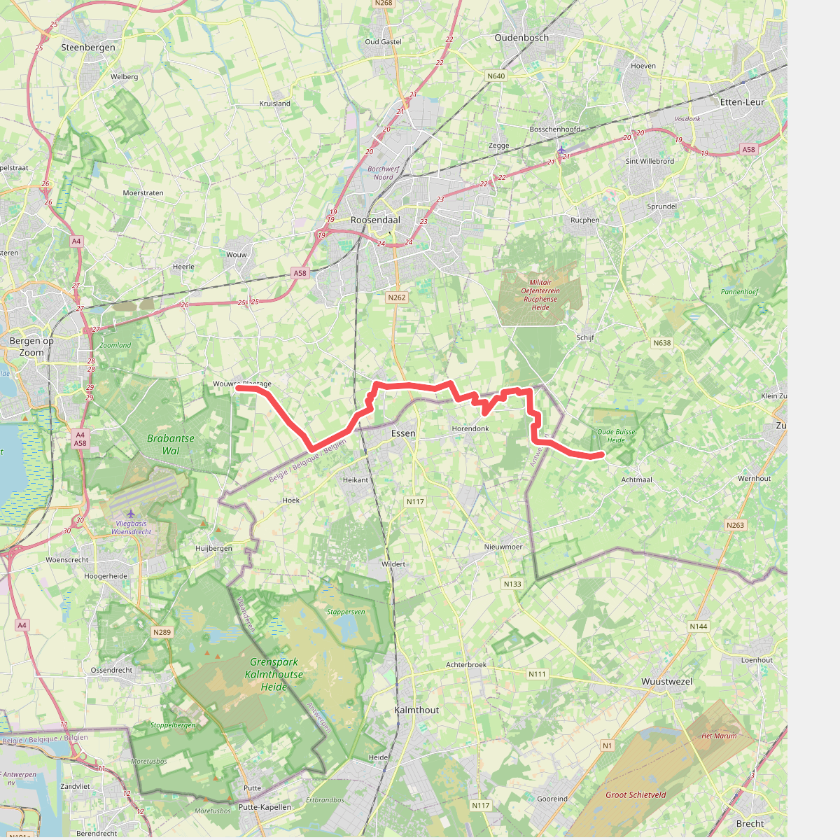
#3. Wouwse Plantage - Achtmaal · Grenslandpad etappe 8
Achtmaal,Schijf,Nispen,Wouwse Plantage
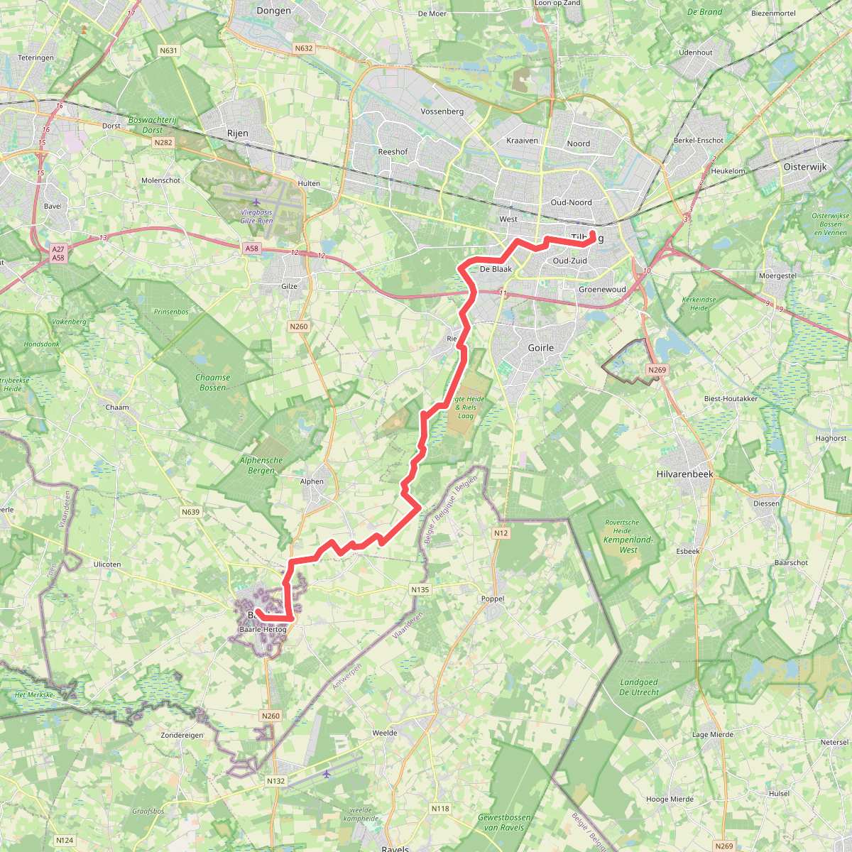
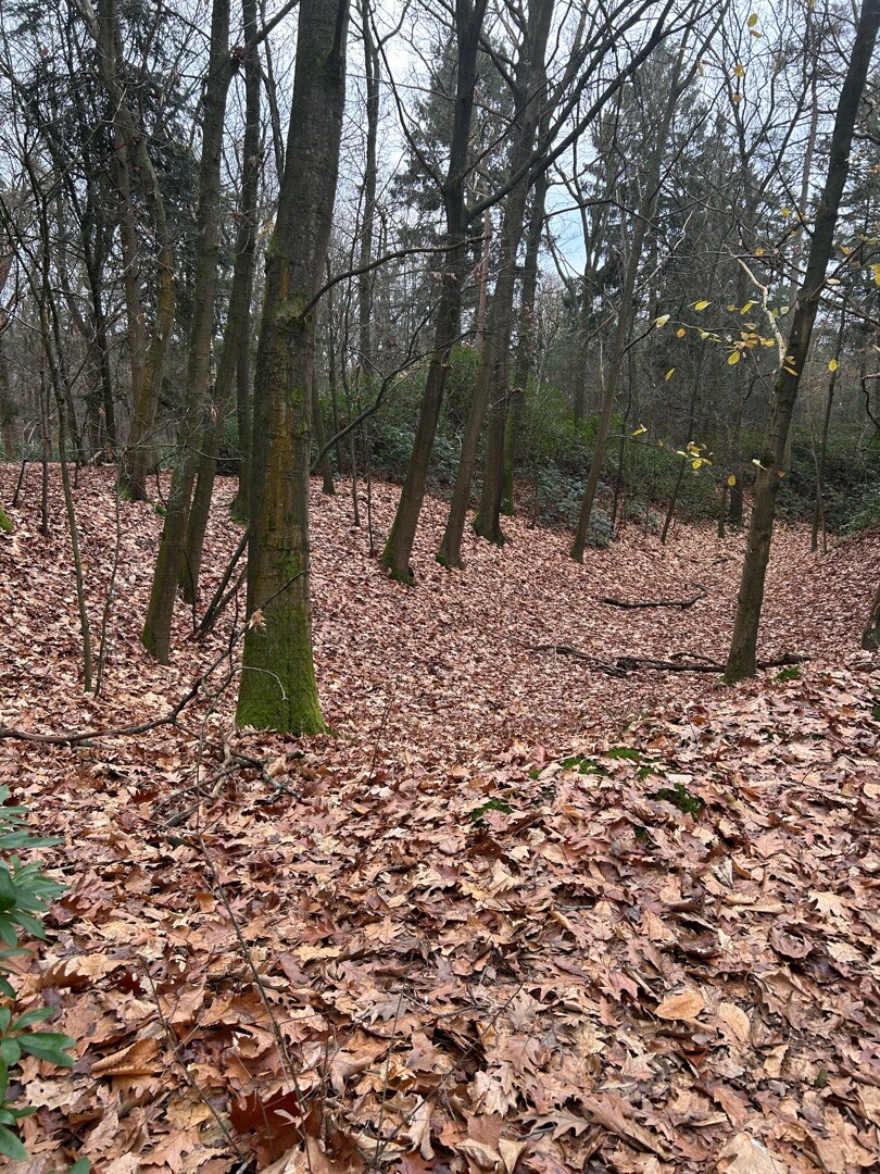
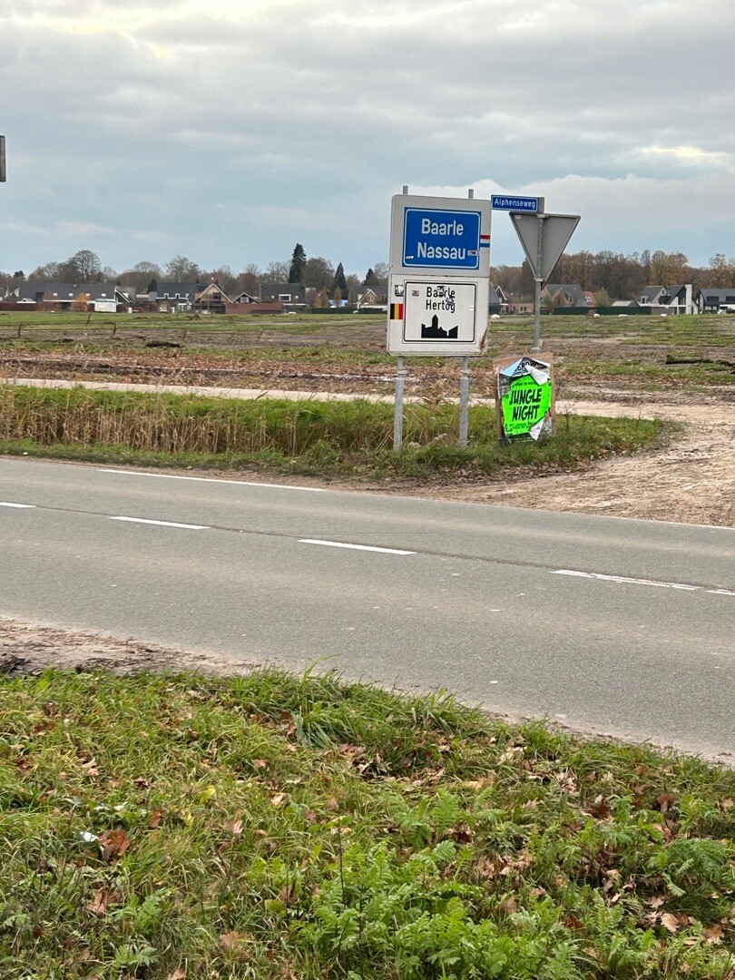
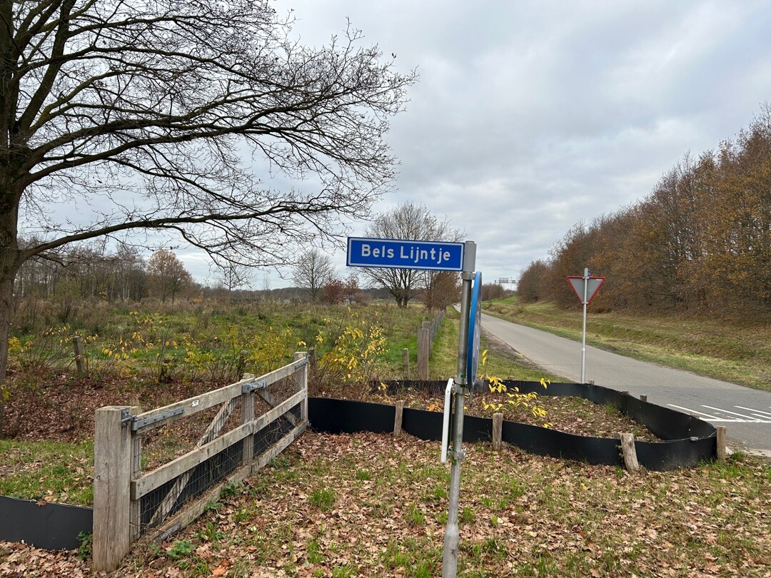
#4. Tilburg - Baarle Hertog/Nassau · Camino Brabant etappe 9
Baarle-Nassau,Alphen,Riel,Goirle,Tilburg
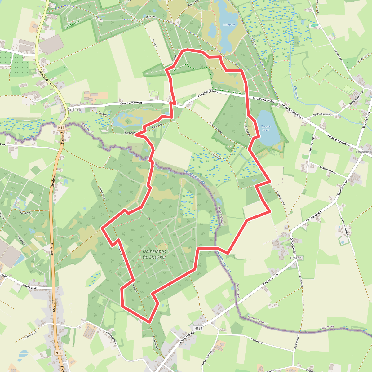
#5. Boswachterspad Smokkelroute
Chaam,Strijbeek
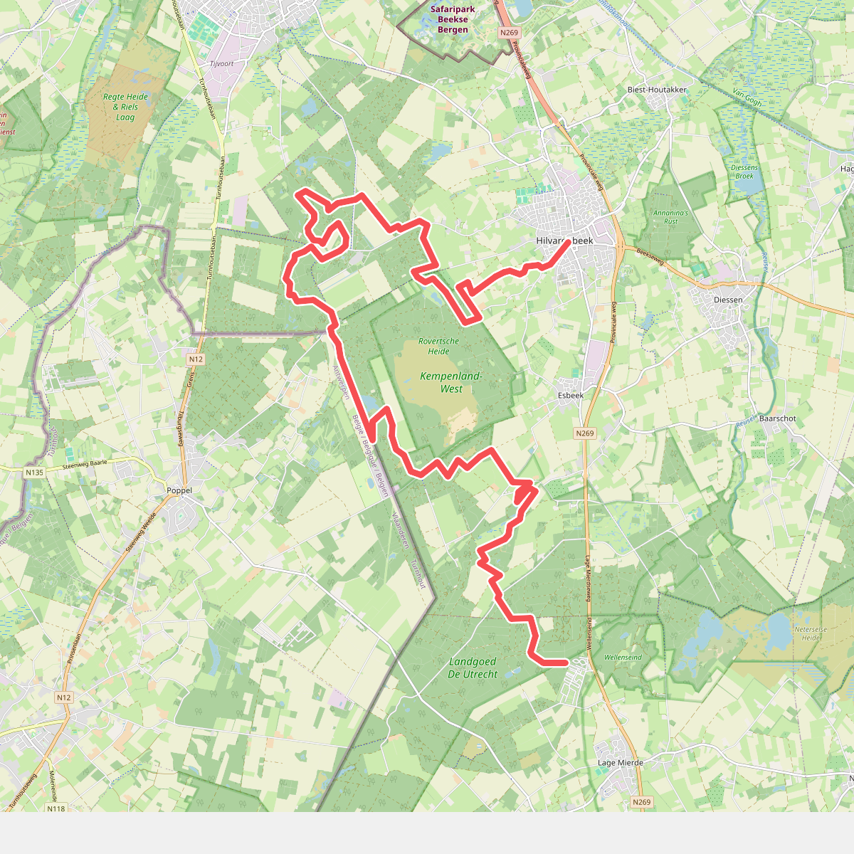
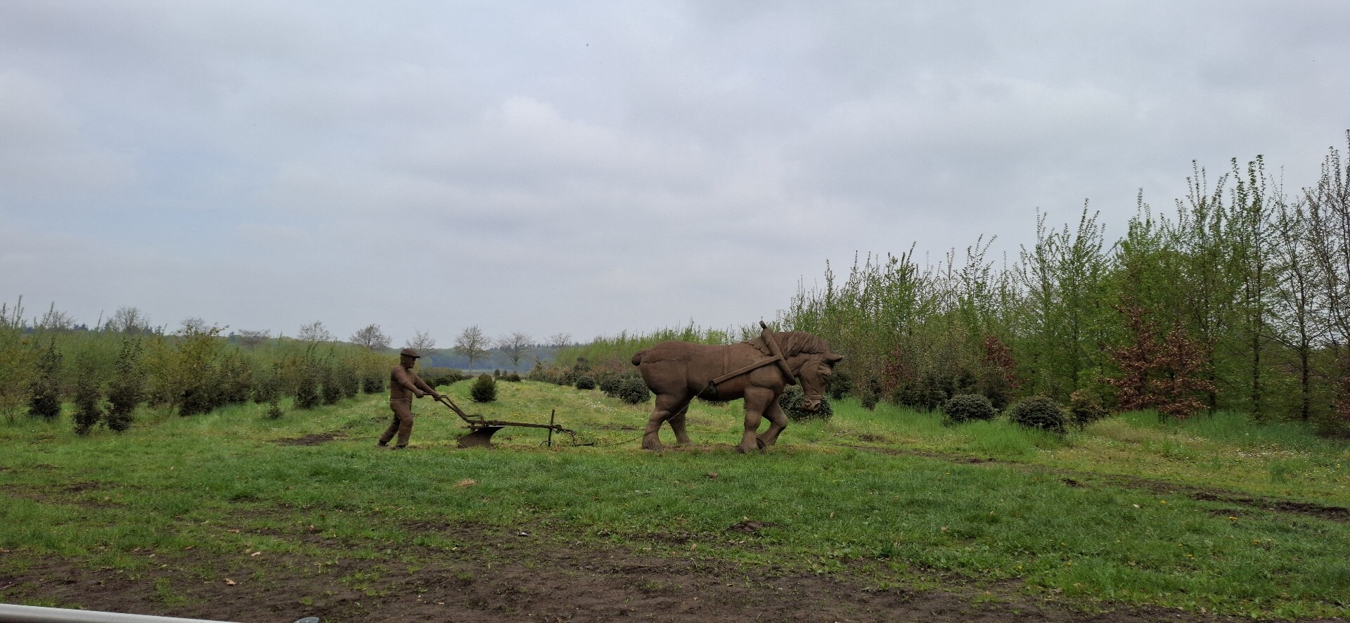
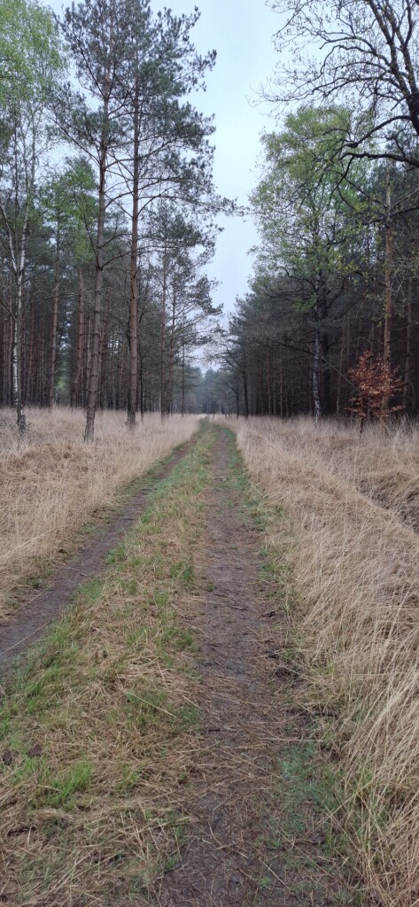
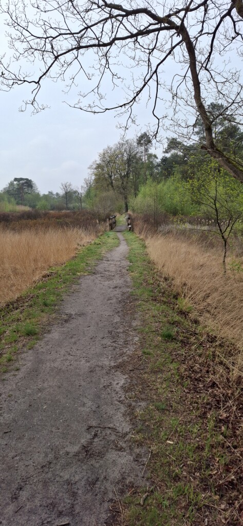
#6. Lage Mierde - Hilvarenbeek · Brabants Vennenpad etappe 11
Hilvarenbeek,Goirle,Esbeek,Lage Mierde
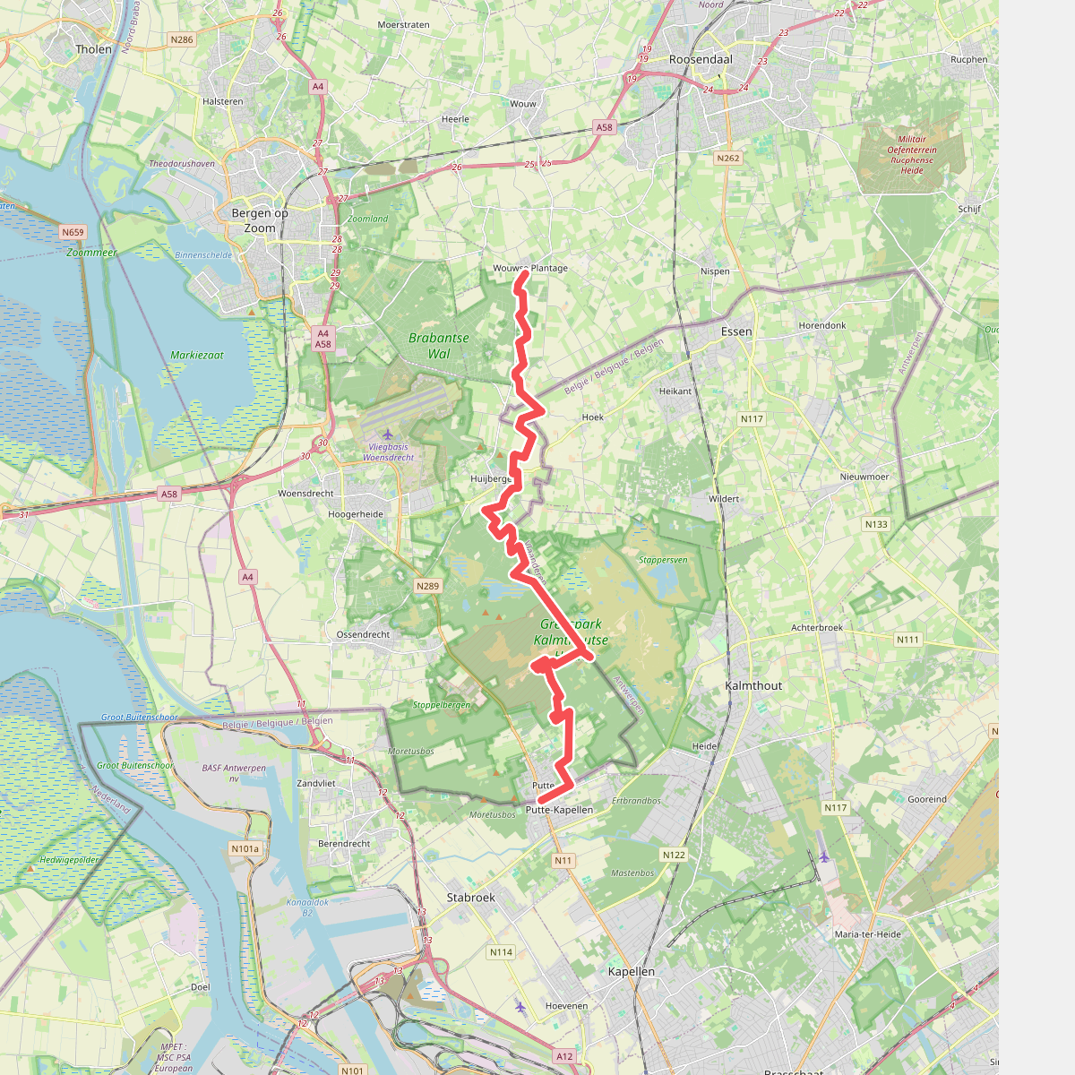
#7. Wouwse Plantage - Putte · Brabantse Wal etappe 4
Putte,Ossendrecht,Huijbergen,Hoogerheide,Wouwse Plantage
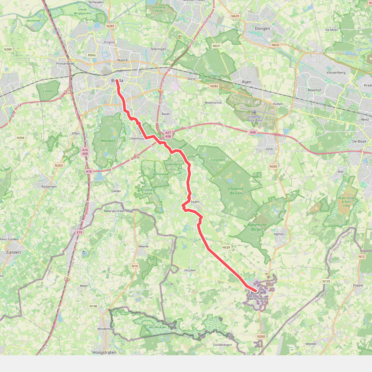
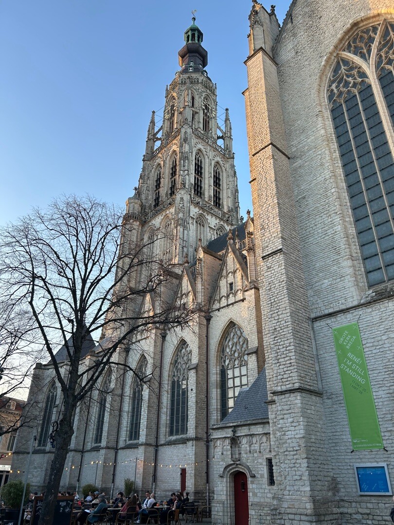
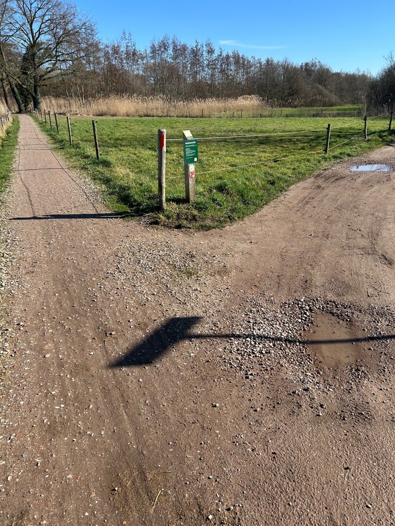
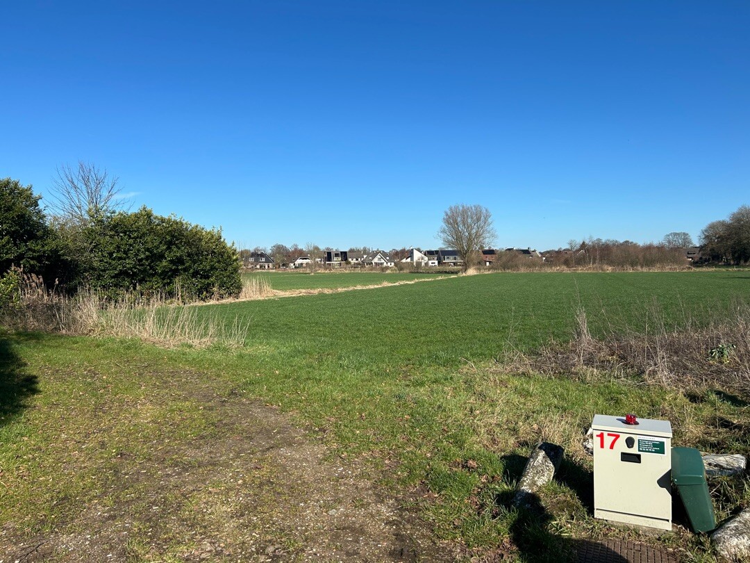
#8. Baarle Nassau - Breda · Camino Brabant etappe 10
Breda,Ulvenhout,Ulvenhout AC,Gilze,Bavel AC,Chaam,Ulicoten,Baarle-Nassau
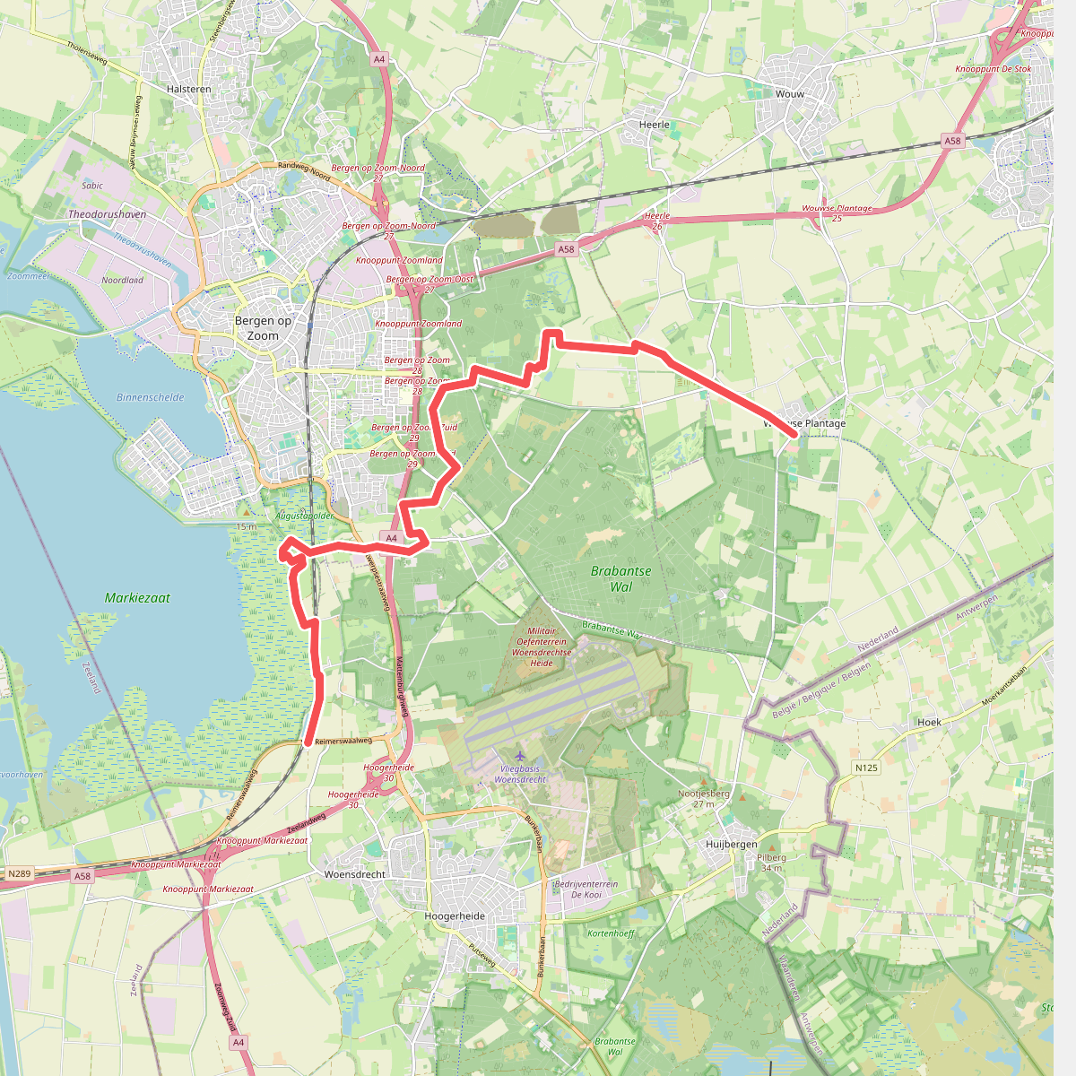
#9. N289 (P-21992) - Wouwse Plantage · Grenslandpad etappe 7
Wouwse Plantage,Heerle,Bergen op Zoom,Hoogerheide,Woensdrecht
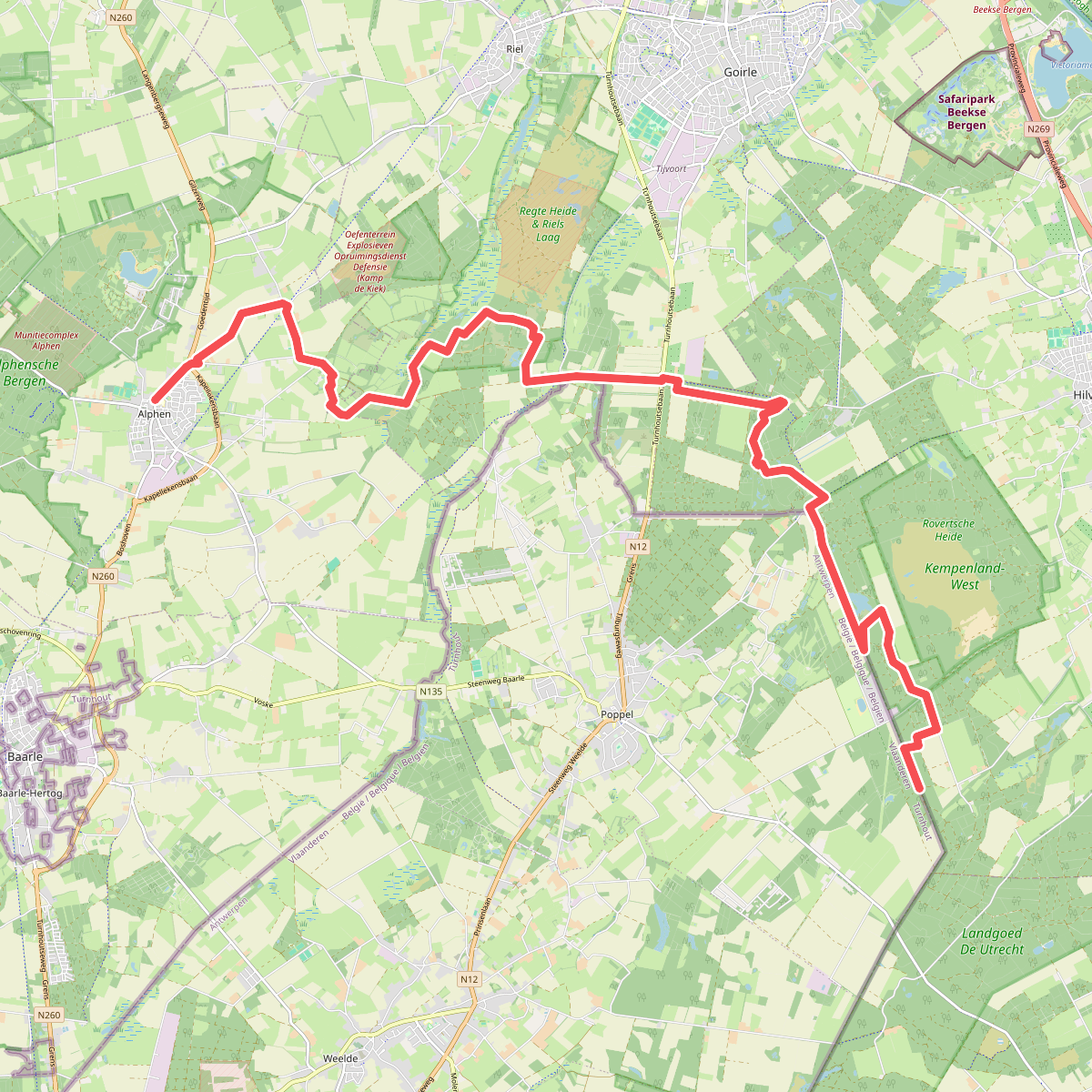
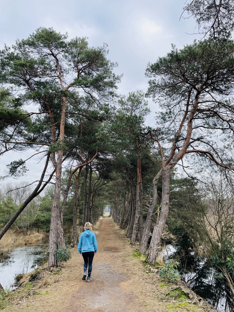
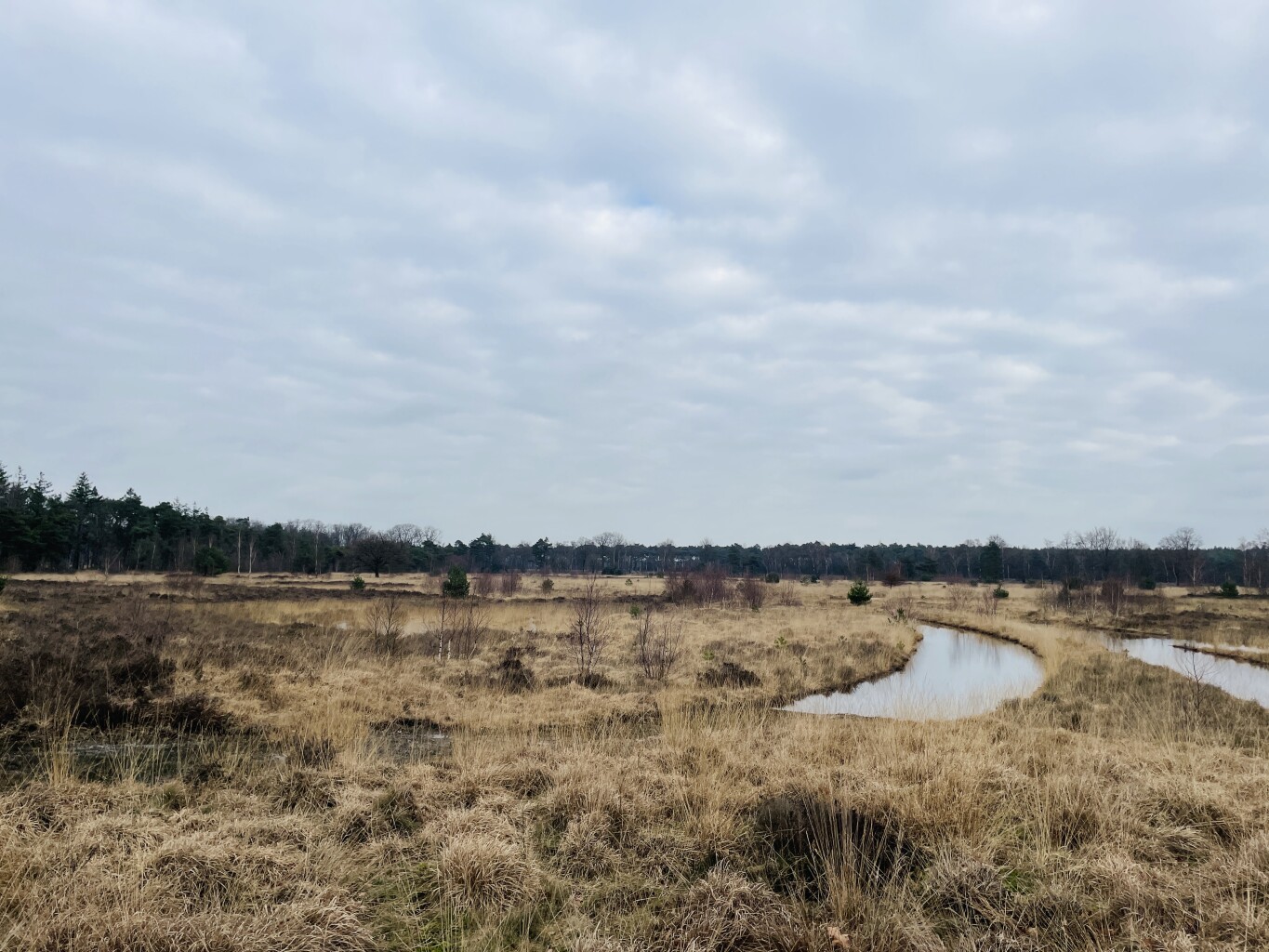
#10. Alphen - Roovertse Baan (bus Esbeek 3 km) · Grenslandpad etappe 12
Esbeek,Hilvarenbeek,Goirle,Riel,Alphen
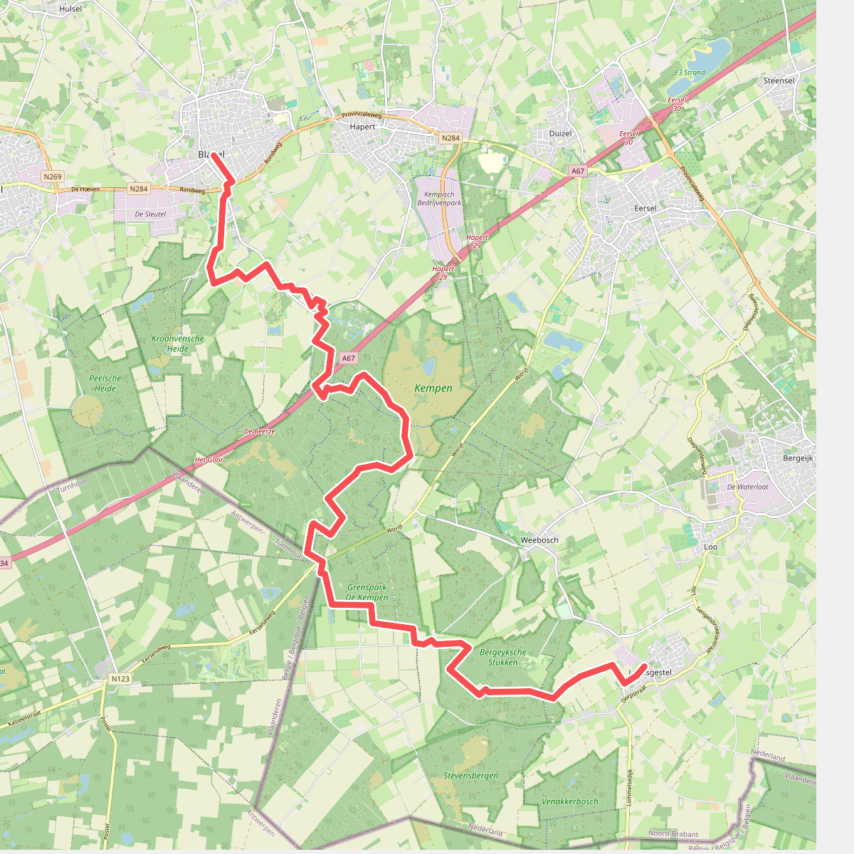
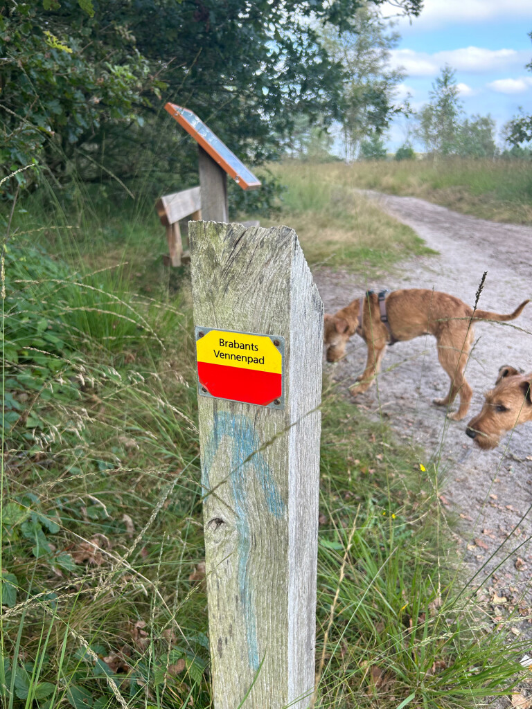
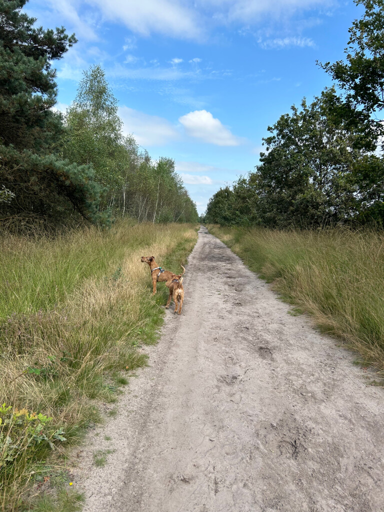
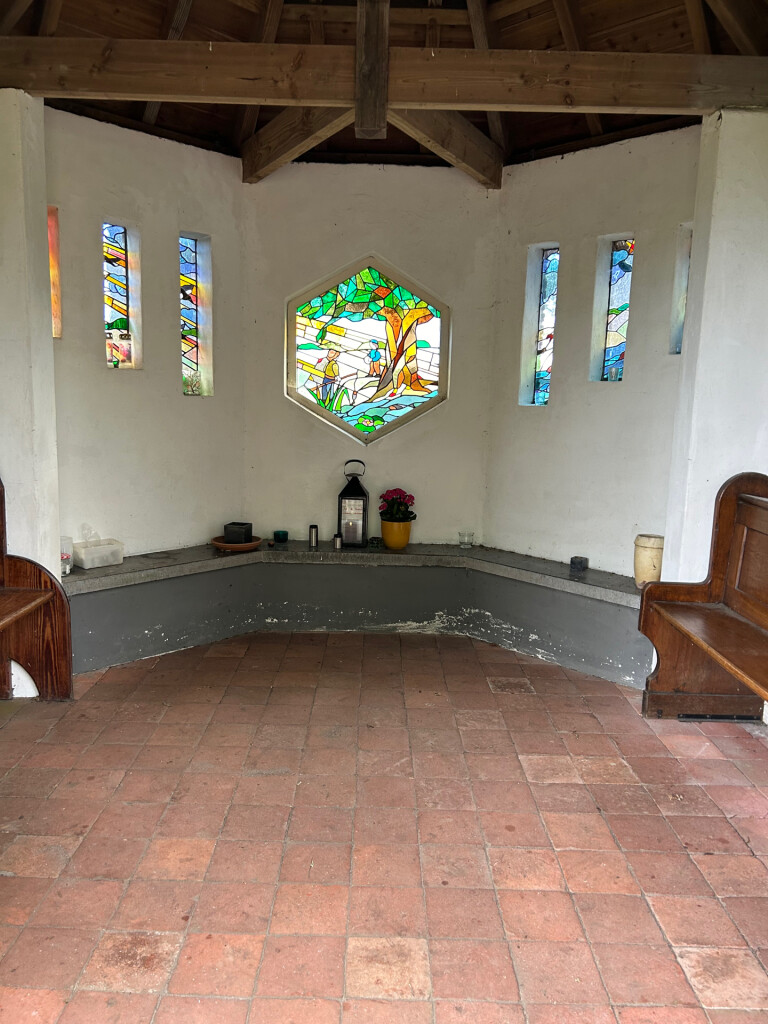
#11. Luyksgestel - Bladel · Brabants Vennenpad etappe 9
Bladel,Hapert,Bergeijk,Luyksgestel
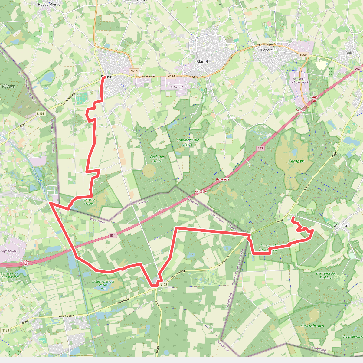
#12. Reusel - Witrijt (bus Weebosch 1.5km) · Grenslandpad etappe 14
Bergeijk,Reusel



