

The best hiking routes in Nationaal Park Scheldevallei
Discover the best walks in Nationaal Park Scheldevallei. 67 routes on the map, with descriptions, photos and GPX.
About Nationaal Park Scheldevallei
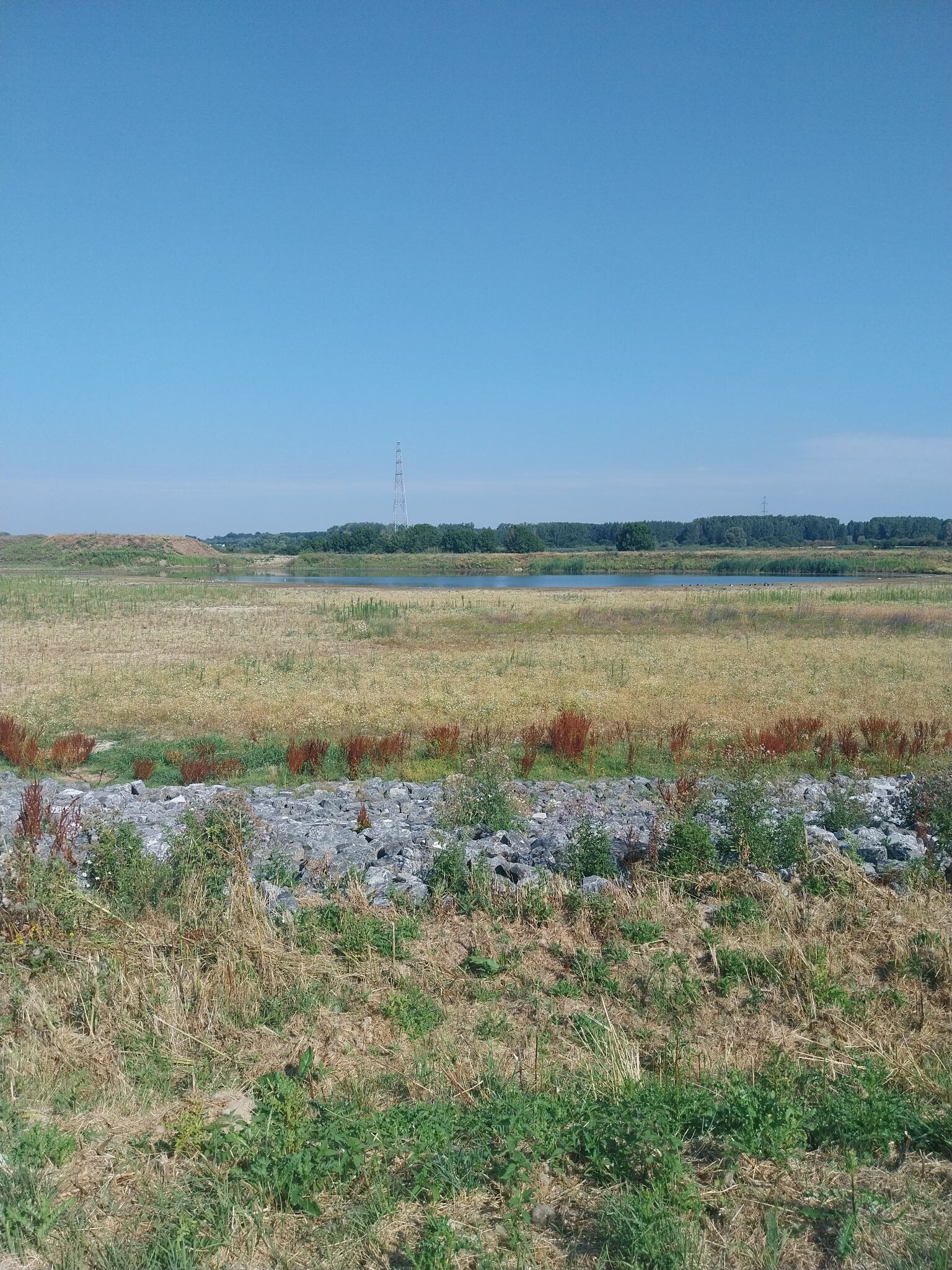
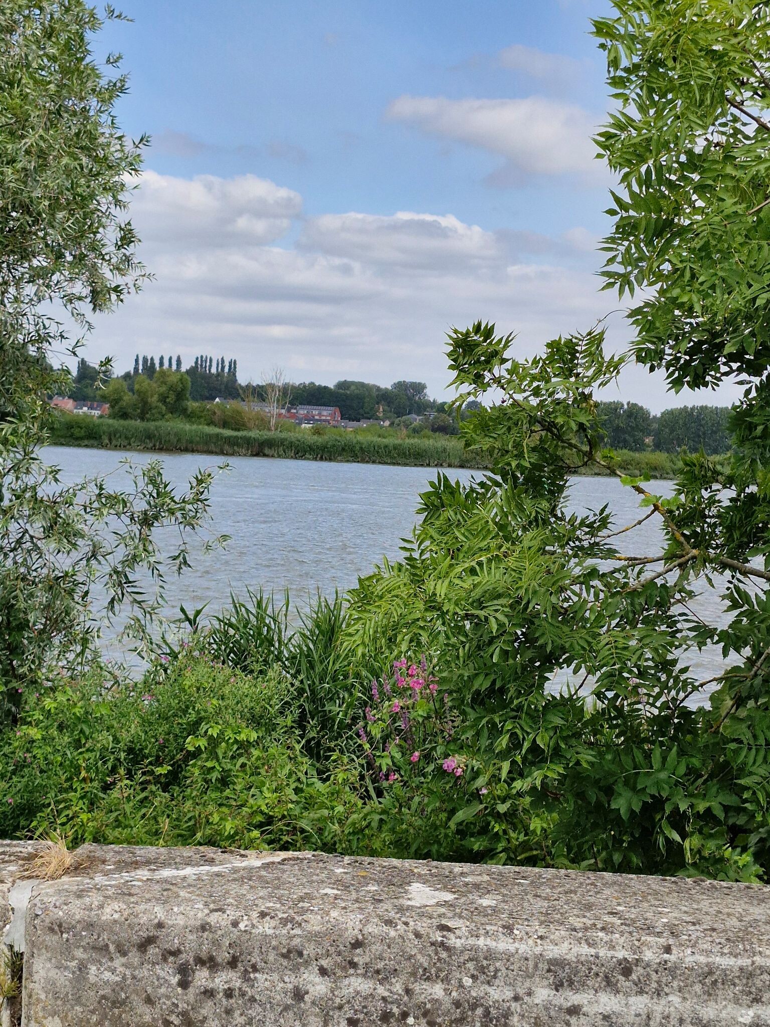
Nationaal Park Scheldevallei is defined by the movement of tidal rivers, where the Schelde and its tributaries create a landscape of freshwater tidal marshes, mudflats, and wet polders. Unlike dry forest parks, walking here means navigating a low-lying terrain shaped by the daily rise and fall of the water. You will walk along raised dikes that offer views over the wide river channels, transitioning down into muddy willow forests and reed beds that are regularly flooded by the tide.
Read more
About Nationaal Park Scheldevallei
Nationaal Park Scheldevallei is defined by the movement of tidal rivers, where the Schelde and its tributaries create a landscape of freshwater tidal marshes, mudflats, and wet polders. Unlike dry forest parks, walking here means navigating a low-lying terrain shaped by the daily rise and fall of the water. You will walk along raised dikes that offer views over the wide river channels, transitioning down into muddy willow forests and reed beds that are regularly flooded by the tide.
Read moreNationaal Park Scheldevallei is defined by the movement of tidal rivers, where the Schelde and its tributaries create a landscape of freshwater tidal marshes, mudflats, and wet polders. Unlike dry forest parks, walking here means navigating a low-lying terrain shaped by the daily rise and fall of the water. You will walk along raised dikes that offer views over the wide river channels, transitioning down into muddy willow forests and reed beds that are regularly flooded by the tide.
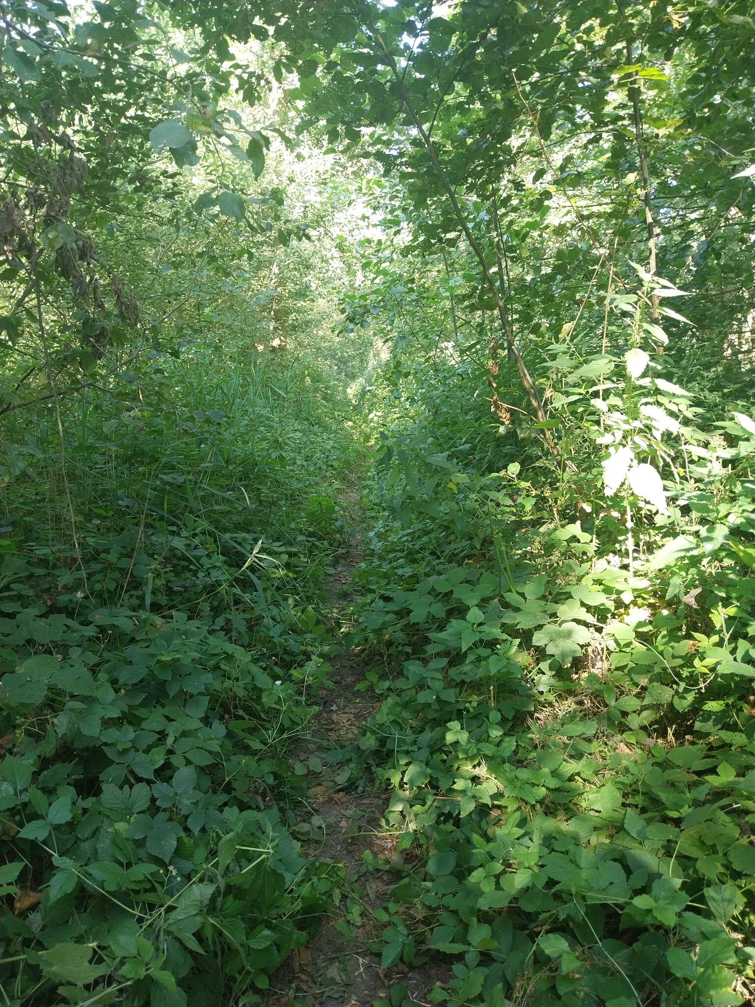
Underfoot, the paths vary significantly depending on your proximity to the water. You will encounter paved dike paths, grassy banks, and specialized boardwalks designed to keep walkers above the wettest mudflats. The landscape is flat and open, dominated by the engineering of dikes, sluices, and tidal barriers that protect the surrounding polders. It is not a place for deep woodland hiking; instead, the vegetation consists of dense reeds, osier beds, and marsh plants that thrive in brackish conditions.
In late summer, around August, the marsh marigolds and purple loosestrife color the banks, making the tidal movement even more visible against the vegetation. The busier sections of the trail network concentrate around historic river crossings and ferry points, while the paths deeper into the polder areas offer a quieter, more utilitarian landscape of drainage canals and agricultural fields.
Hiking routes in Nationaal Park Scheldevallei (67)
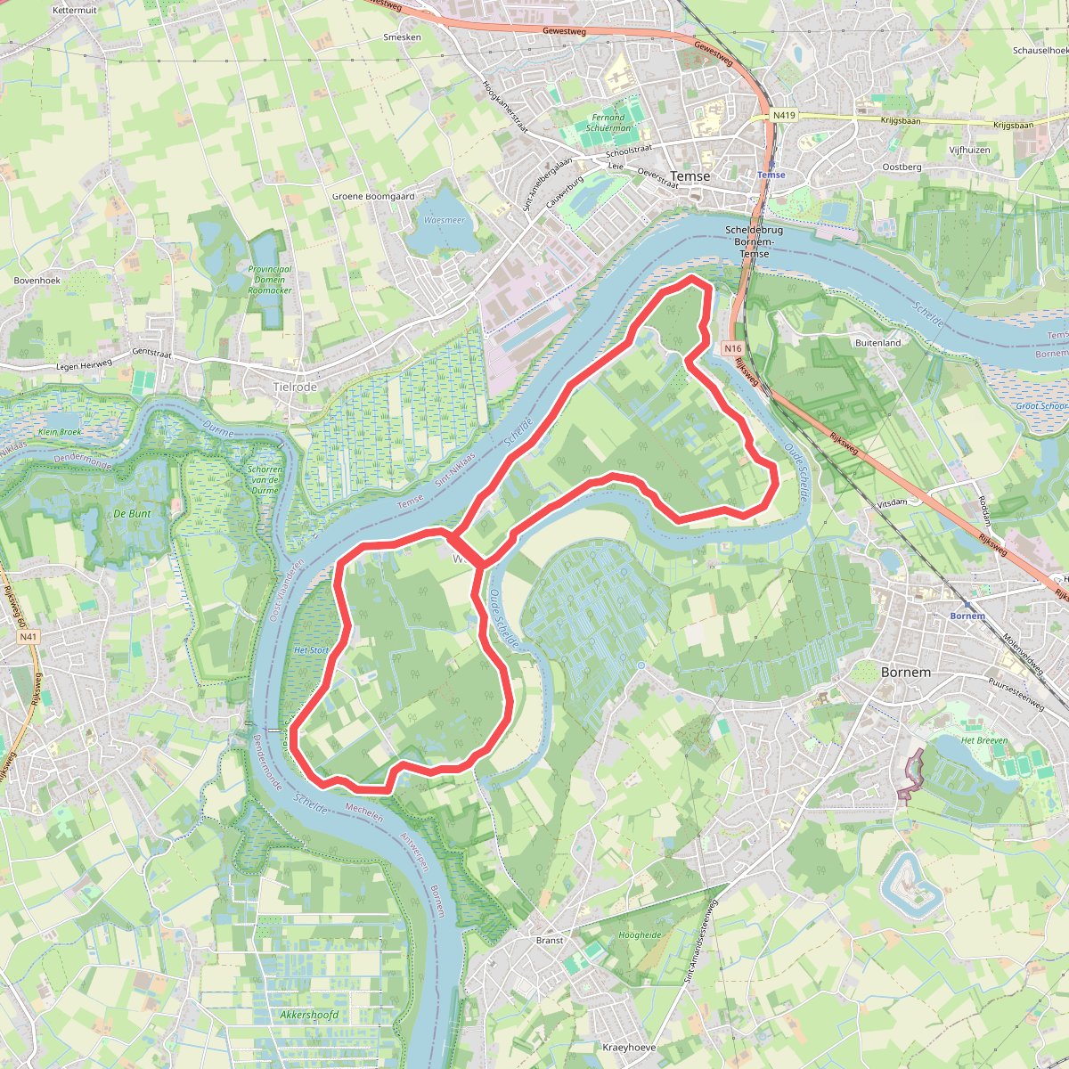
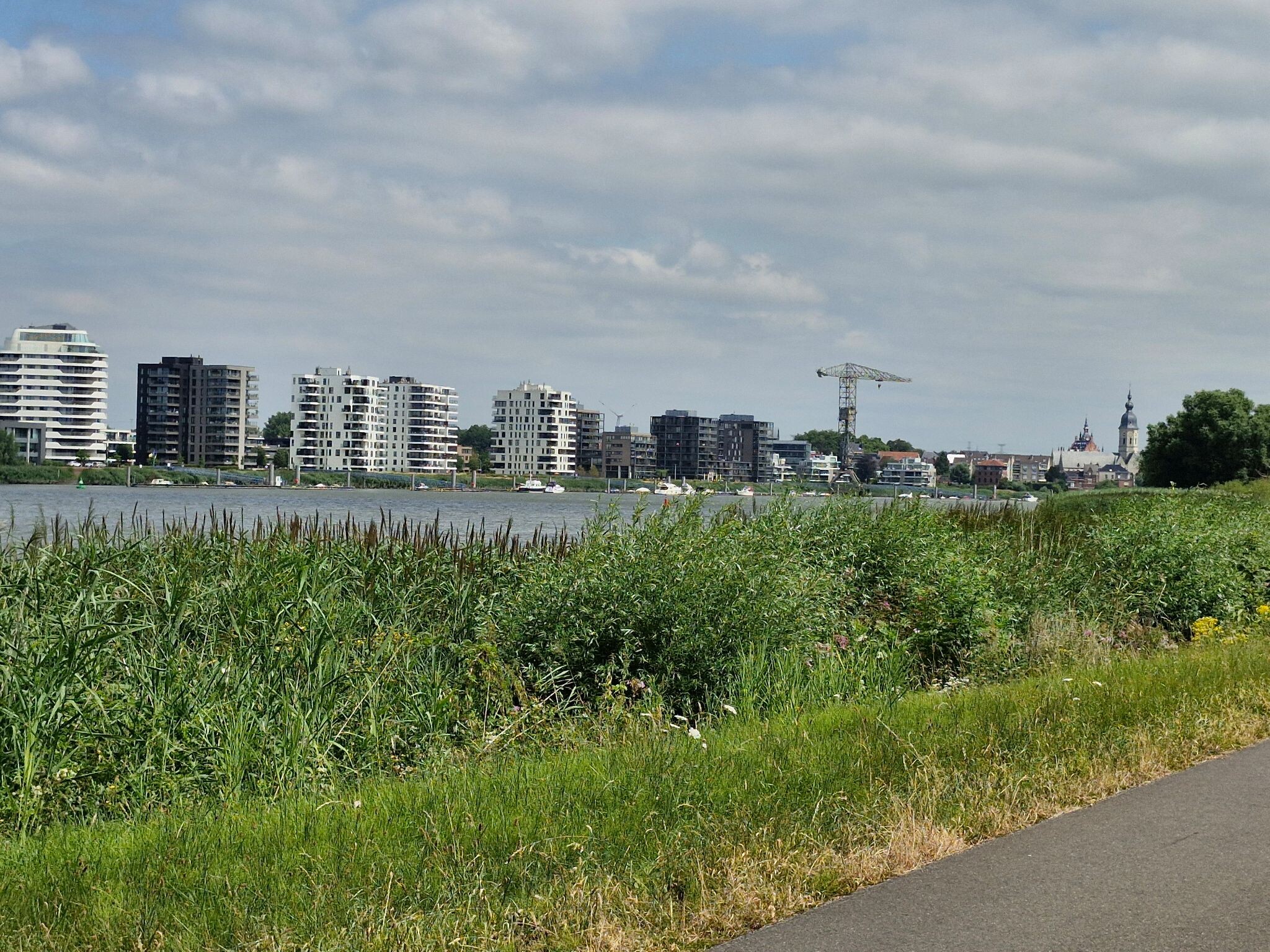
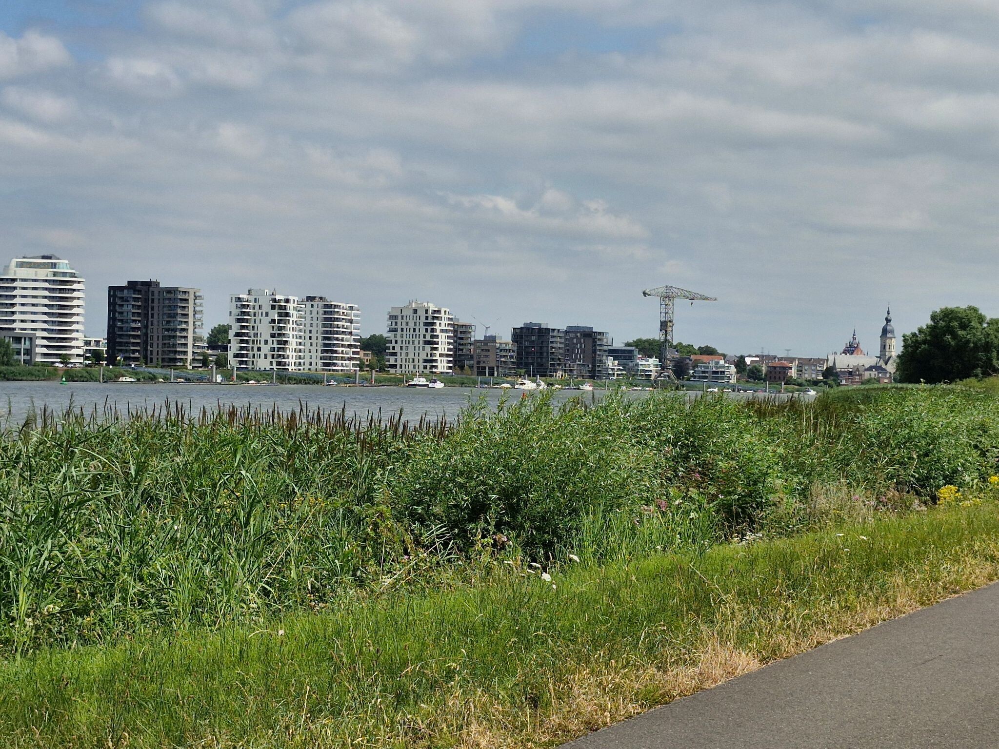
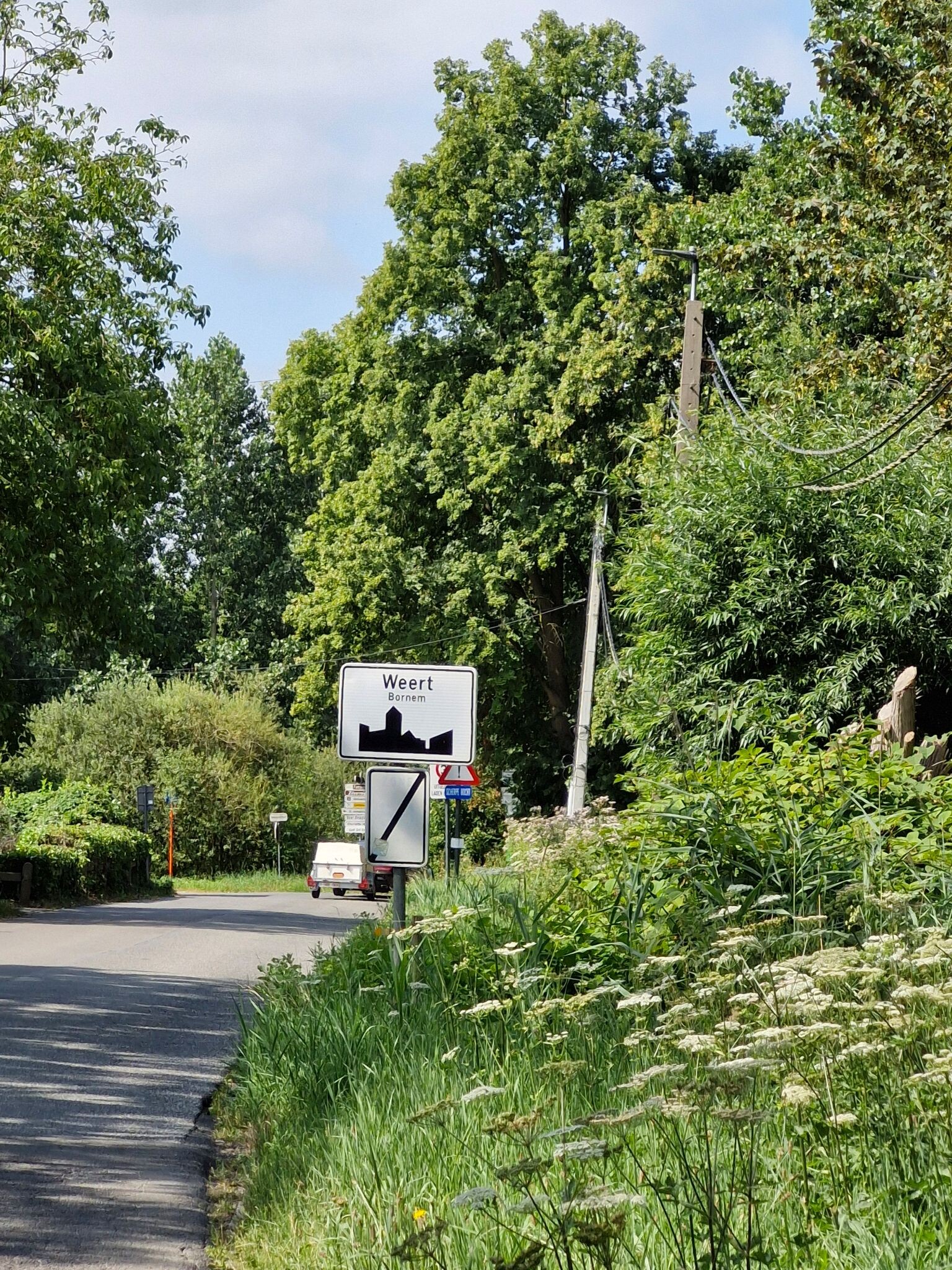
#1. De Acht Van Weert Bornem
Bornem
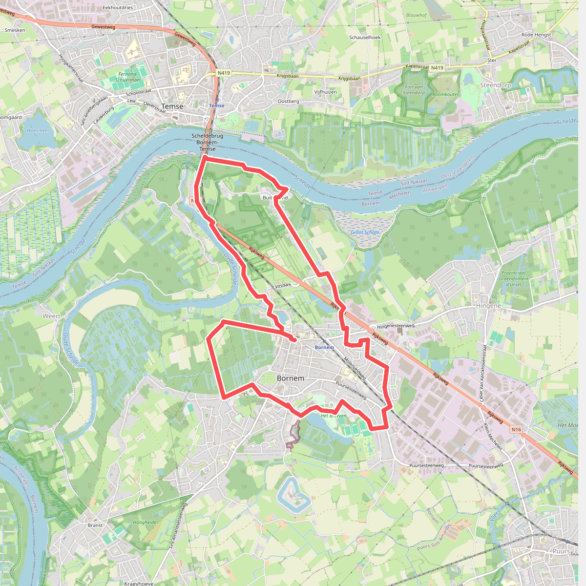
#2. Kasteelpad
Bornem
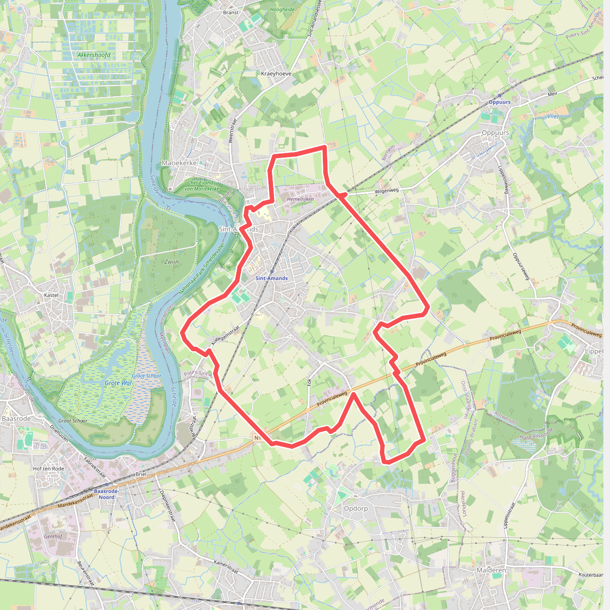
#3. Achter de Scheldedijk
Puurs-Sint-Amands,Bornem,Buggenhout
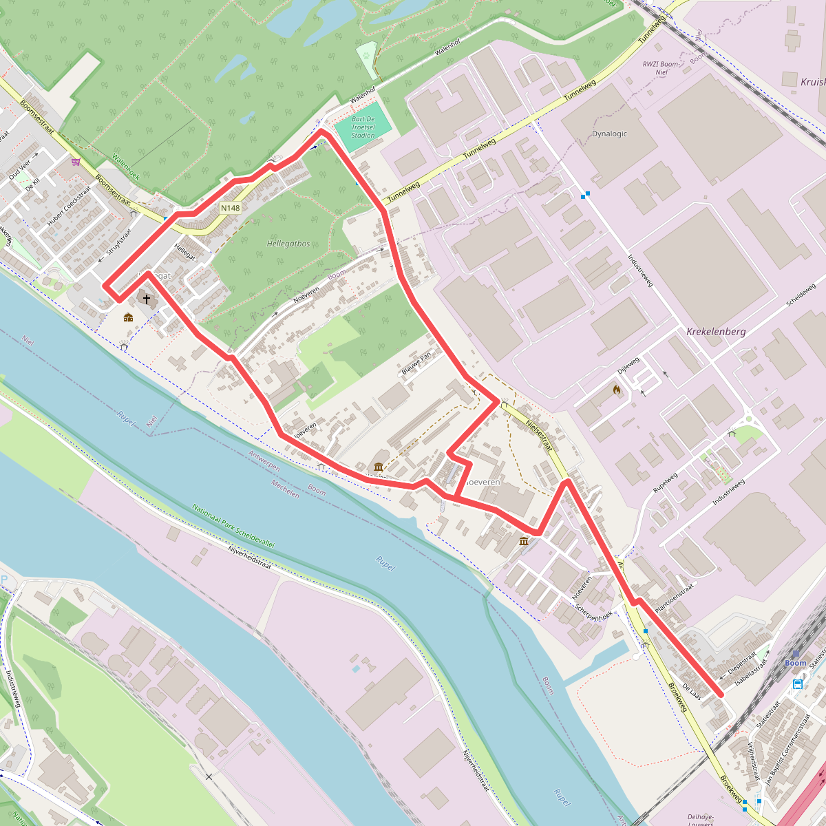
#4. Baksteen Wandelroute
Boom,Niel
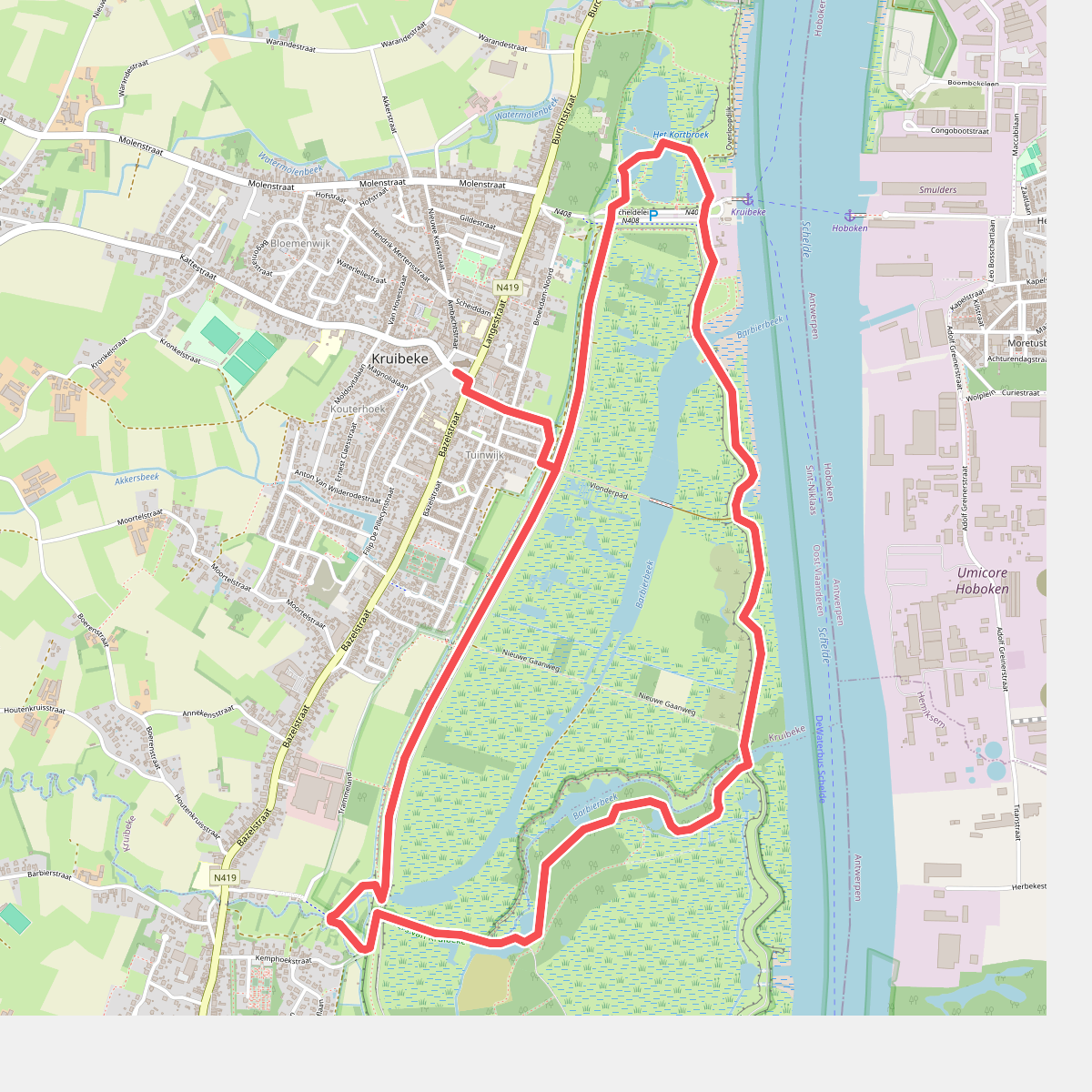
#5. Barbierbeek Wandelroute
Kruibeke,Bazel
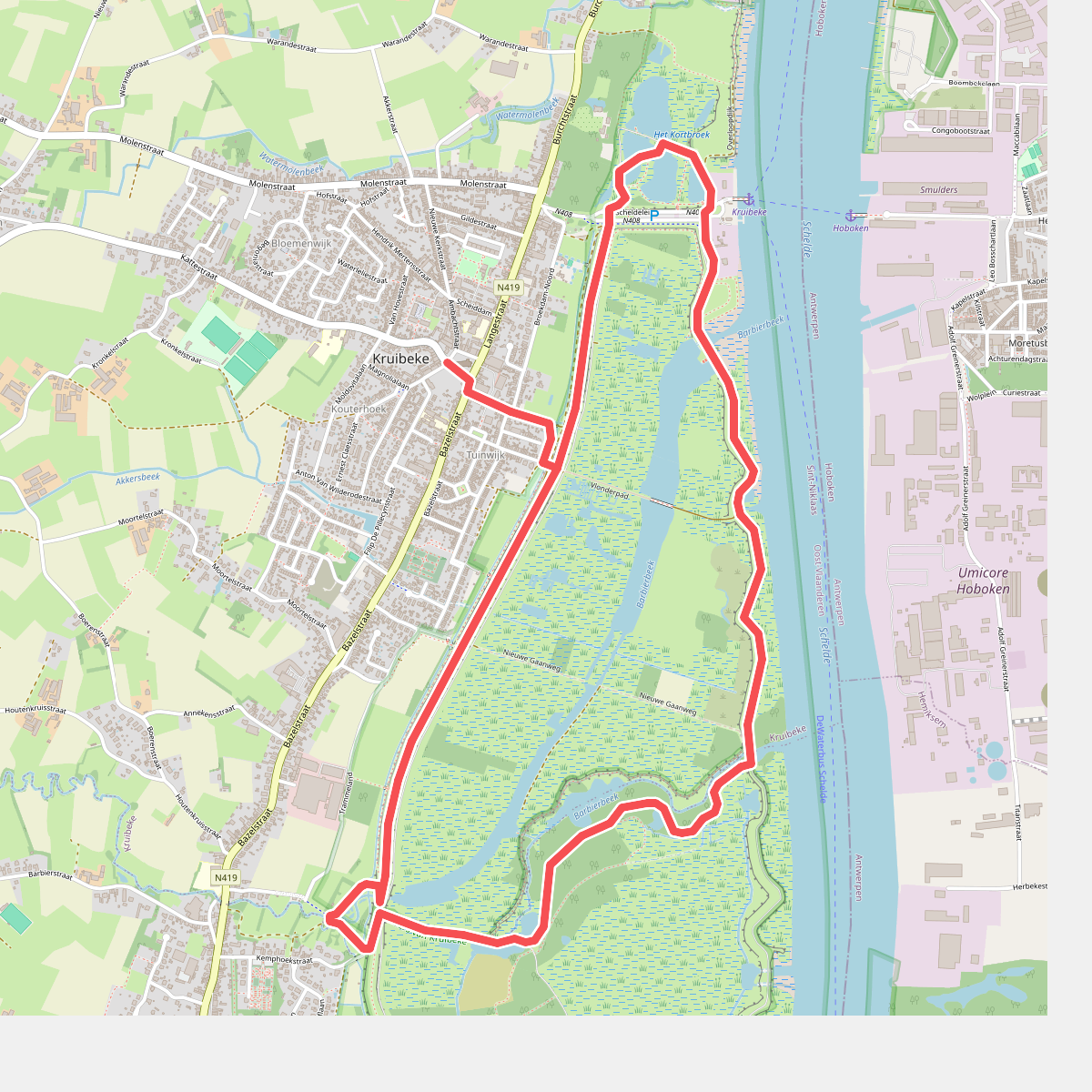
#6. Barbierbeekroute
Kruibeke,Bazel
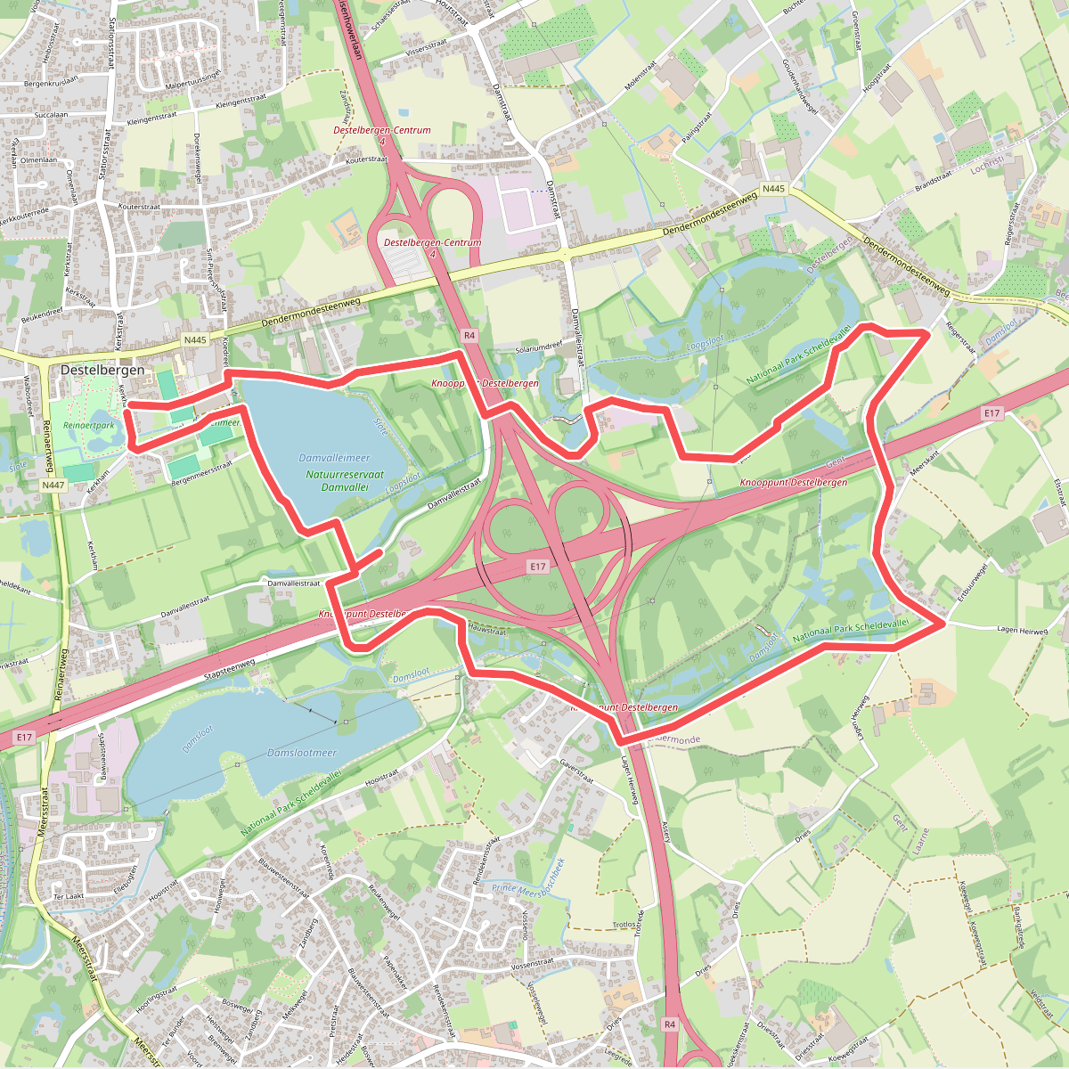
#7. Damvalleipad
Destelbergen,Heusden,Laarne
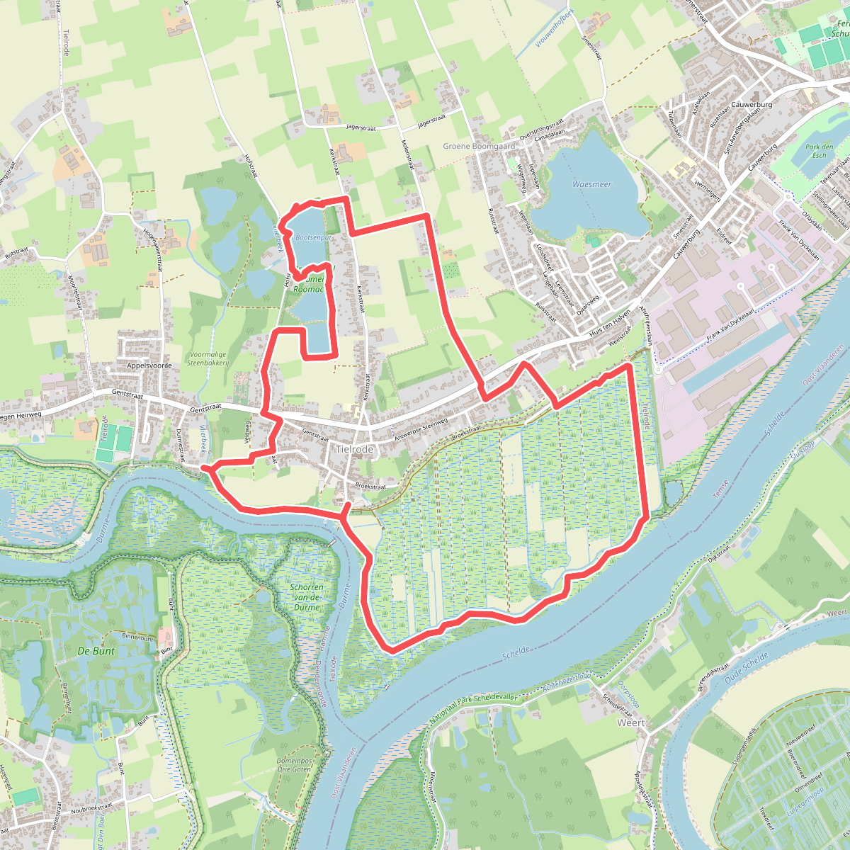
#8. De Roomacker wandelroute
Temse
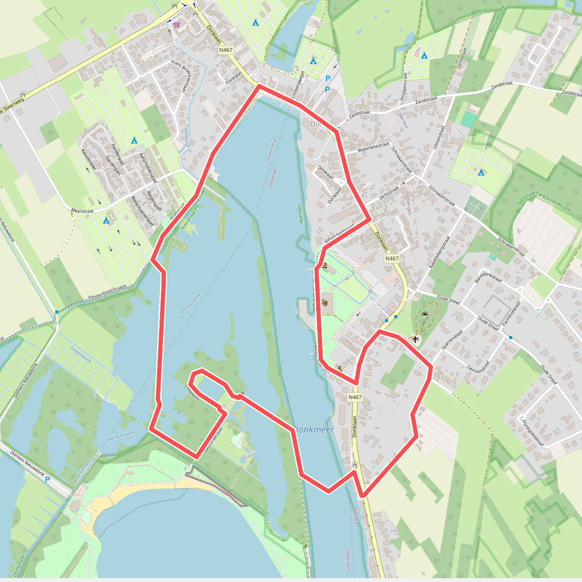
#9. Donkmeer Wandelroute
Berlare
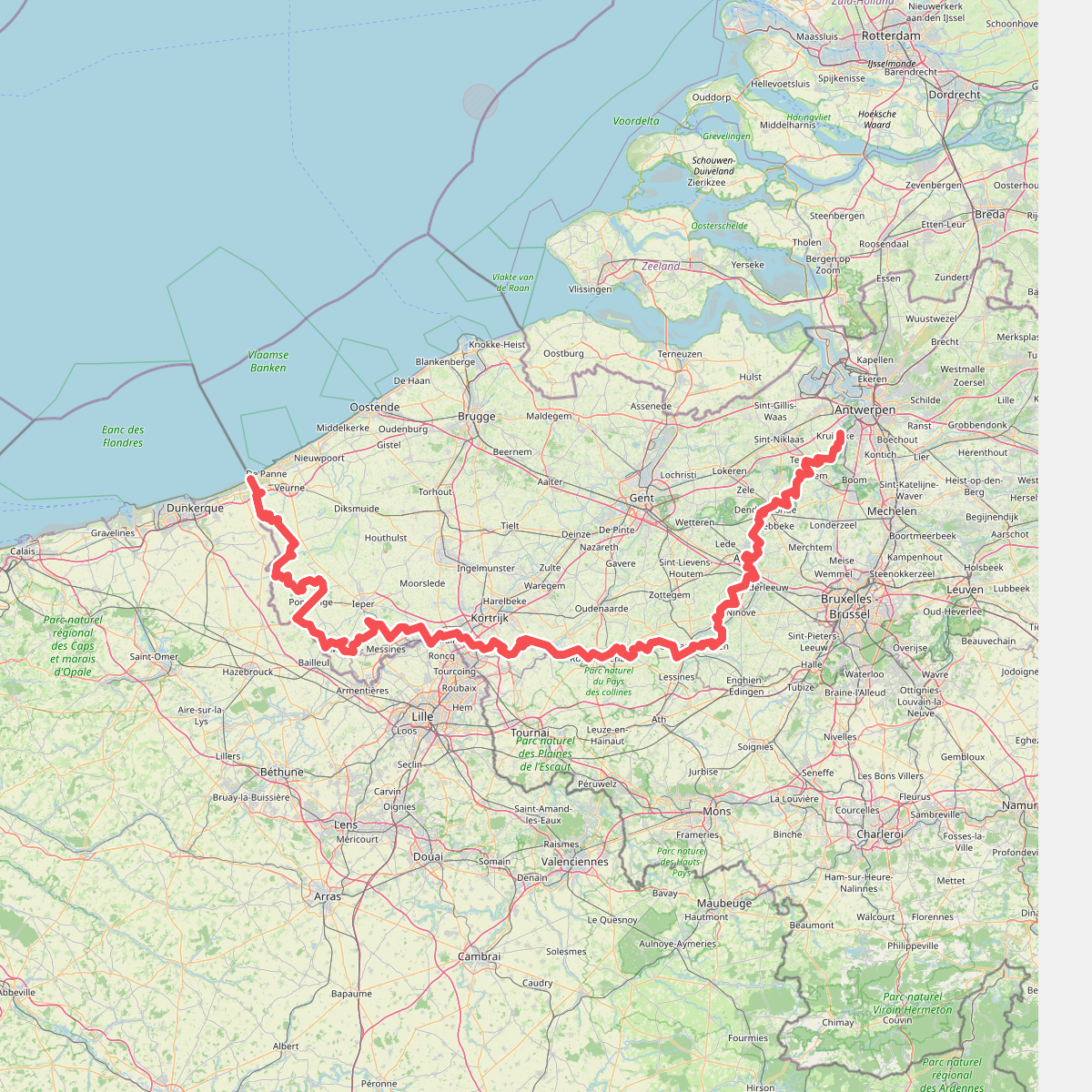
#10. E2 West Sectie GR 5A
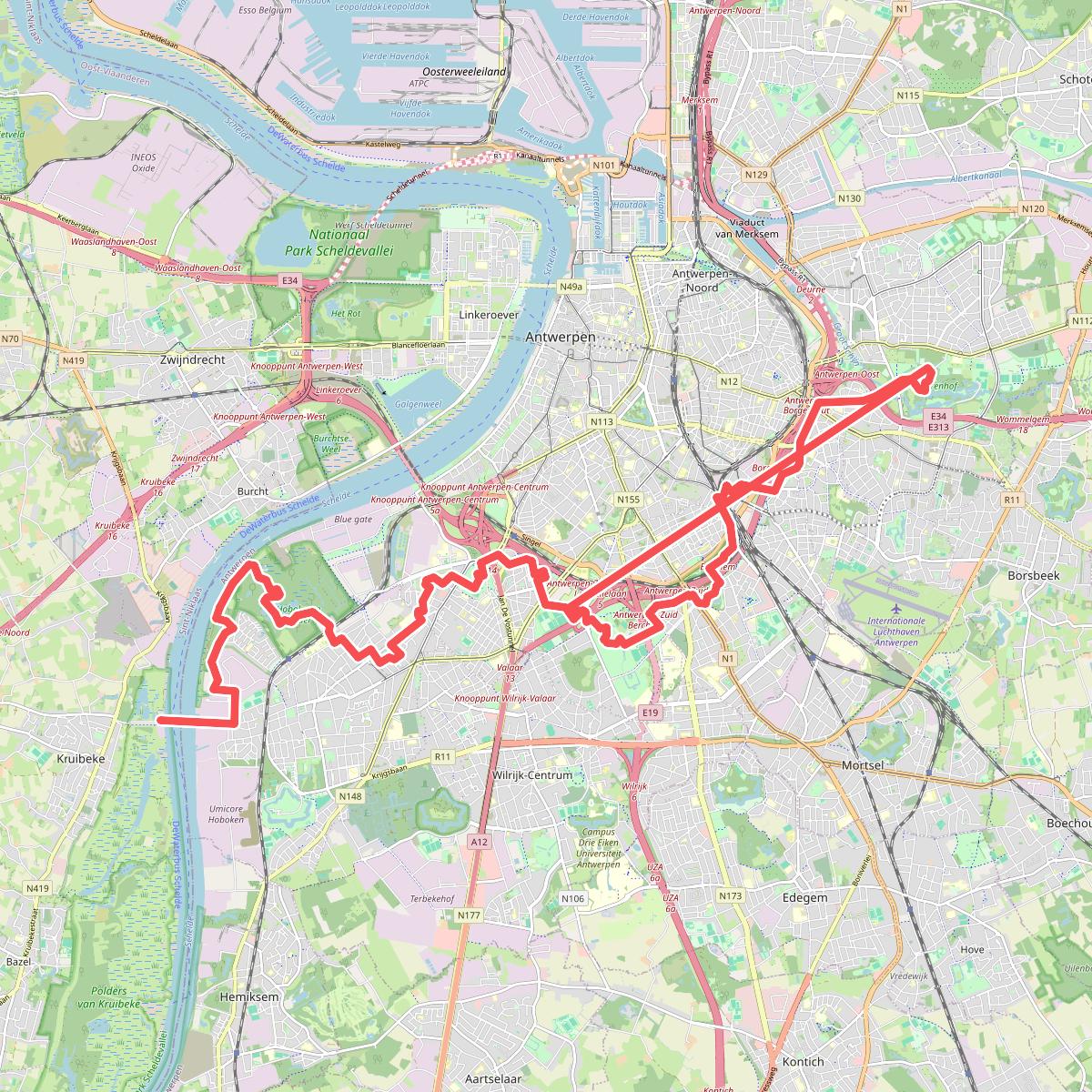
#11. E2 West Sectie GR 5A - GR 565
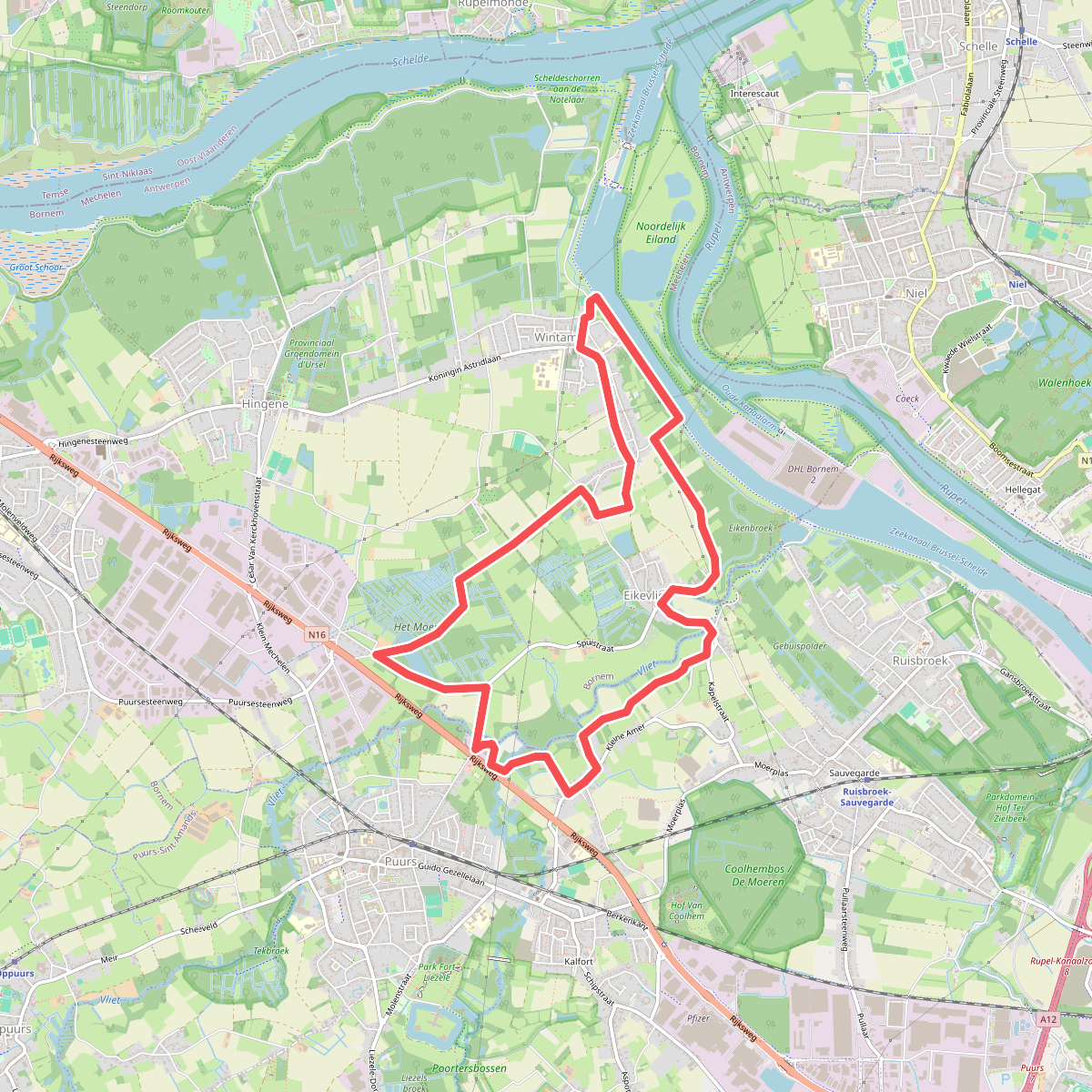
#12. Eikevliet Vliet- En Moerwandeling
Bornem,Puurs-Sint-Amands



