

The best hiking routes in Grenspark Kalmthoutse Heide
Discover the best walks in Grenspark Kalmthoutse Heide. 40 routes on the map, with descriptions, photos and GPX.
About Grenspark Kalmthoutse Heide
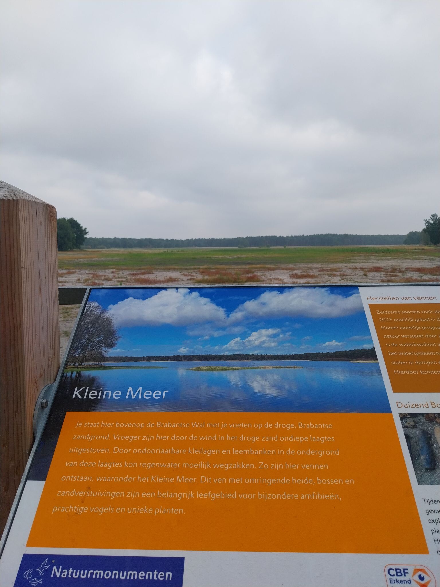
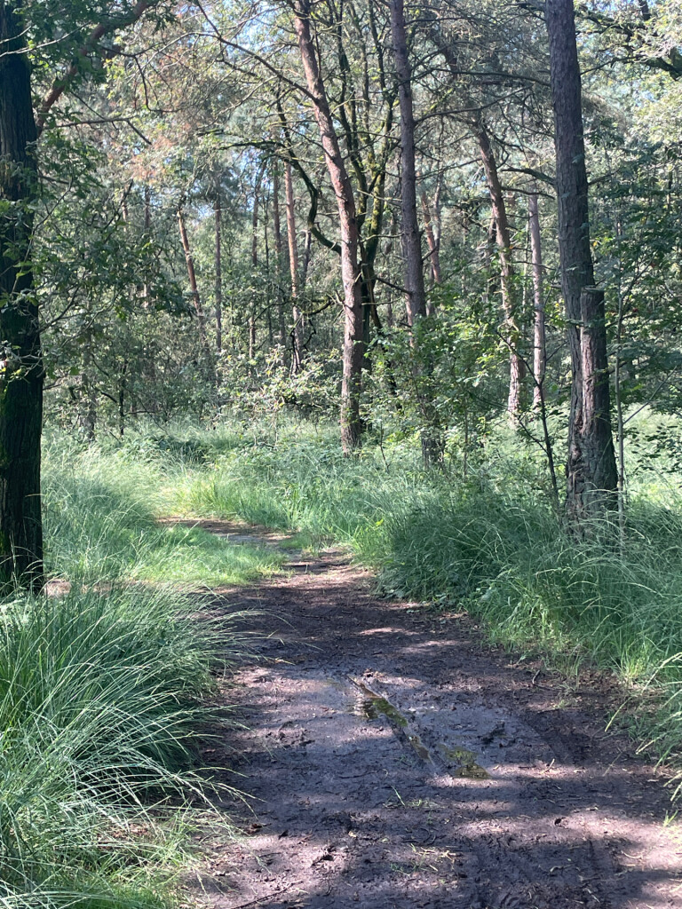
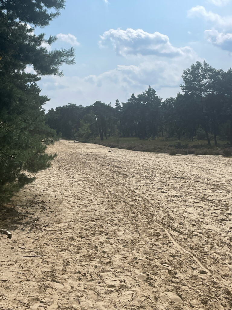
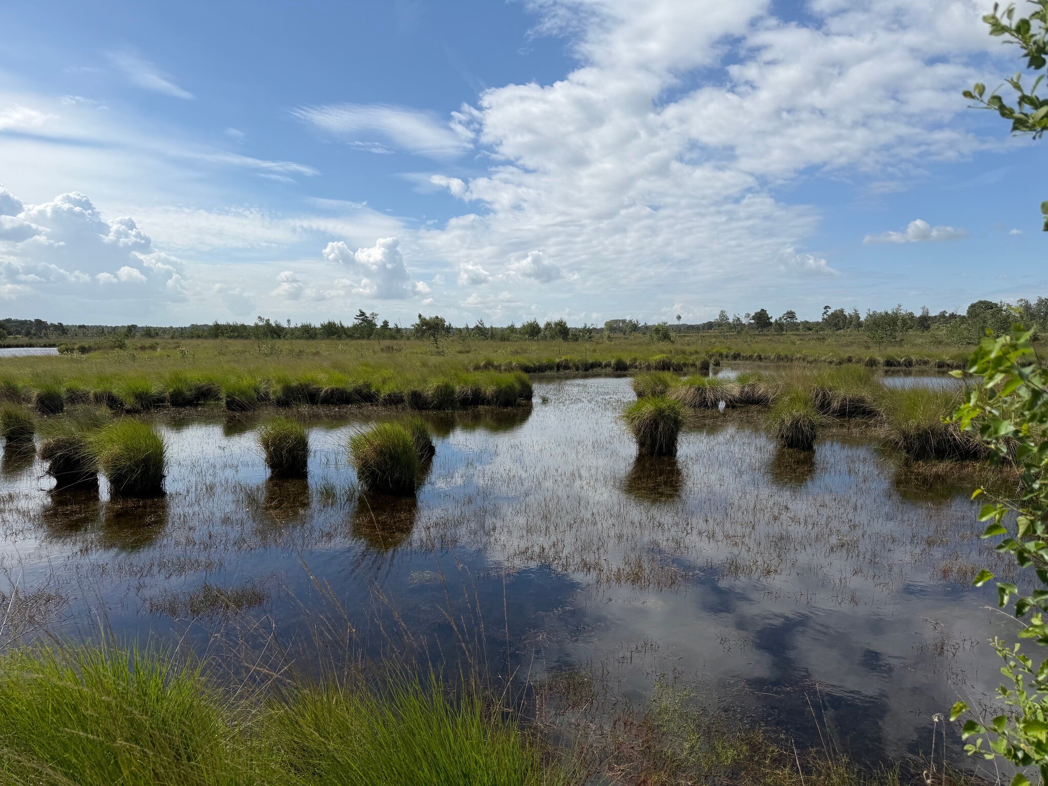
Grenspark Kalmthoutse Heide is a flat border-straddling nature reserve where the landscape shifts between open dry heathland, pine plantations, and seasonal fens. The terrain is shaped by inland dunes, meaning your feet will often sink into loose, deep sand on the higher ridges, while the lower paths turn into muddy tracks near the standing water. Wooden boardwalks are laid out over the wettest peat sections, allowing walkers to cross areas that would otherwise be impassable.
Read more
About Grenspark Kalmthoutse Heide
Grenspark Kalmthoutse Heide is a flat border-straddling nature reserve where the landscape shifts between open dry heathland, pine plantations, and seasonal fens. The terrain is shaped by inland dunes, meaning your feet will often sink into loose, deep sand on the higher ridges, while the lower paths turn into muddy tracks near the standing water. Wooden boardwalks are laid out over the wettest peat sections, allowing walkers to cross areas that would otherwise be impassable.
Read moreGrenspark Kalmthoutse Heide is a flat border-straddling nature reserve where the landscape shifts between open dry heathland, pine plantations, and seasonal fens. The terrain is shaped by inland dunes, meaning your feet will often sink into loose, deep sand on the higher ridges, while the lower paths turn into muddy tracks near the standing water. Wooden boardwalks are laid out over the wettest peat sections, allowing walkers to cross areas that would otherwise be impassable.
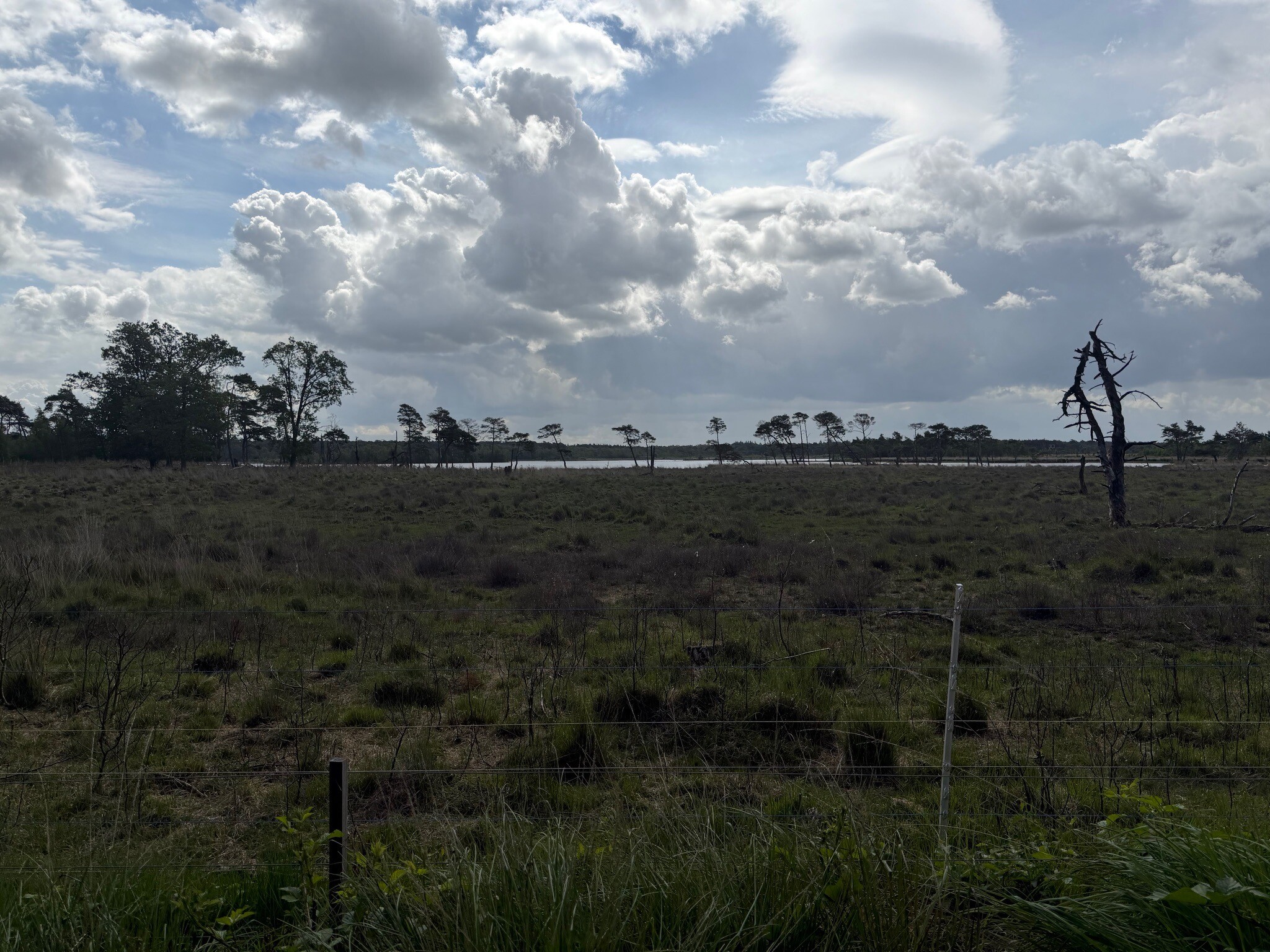
This is not a landscape of dramatic elevation or deep valleys, but rather one of gentle, rolling sand dunes and wide horizons broken by isolated groups of Scots pine. In August, the dry heathland turns purple, contrasting with the dark green of the conifers and the white sand of the shifting dunes. The Belgian side of the park features larger water bodies and damp mires, while the northern Dutch section tends to be slightly drier with more extensive pine woods.
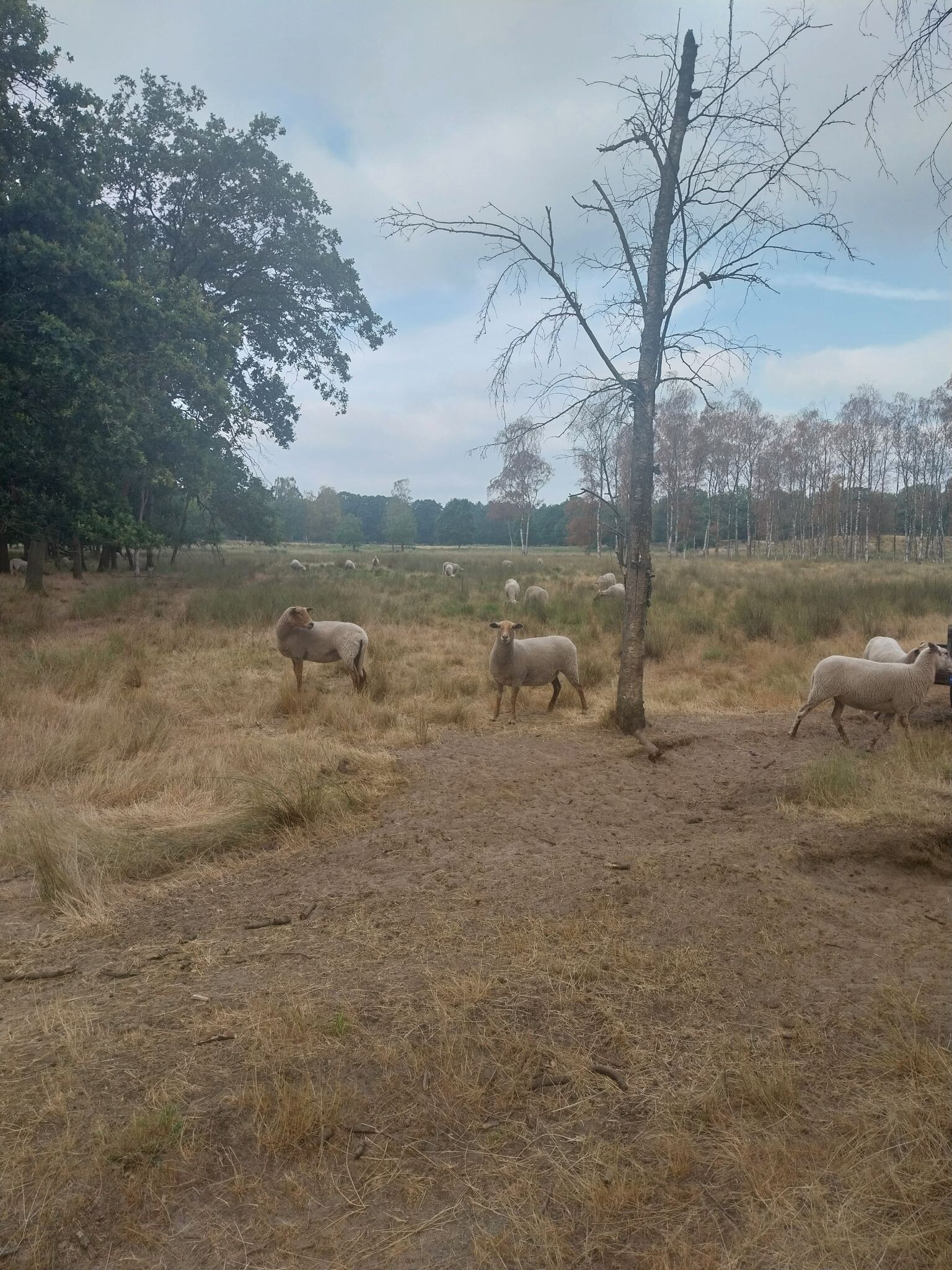
Walking here requires some physical effort due to the loose sand underfoot, which can make progress slow. The main entry points near the visitor centres can be busy with families, but the deeper network of sandy tracks offers a quieter experience. It is a working landscape where grazing sheep and cattle are used to keep the scrub from overtaking the open heather.
Hiking routes in Grenspark Kalmthoutse Heide (40)
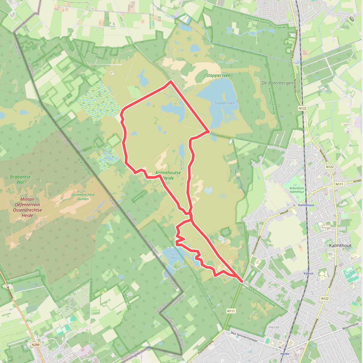
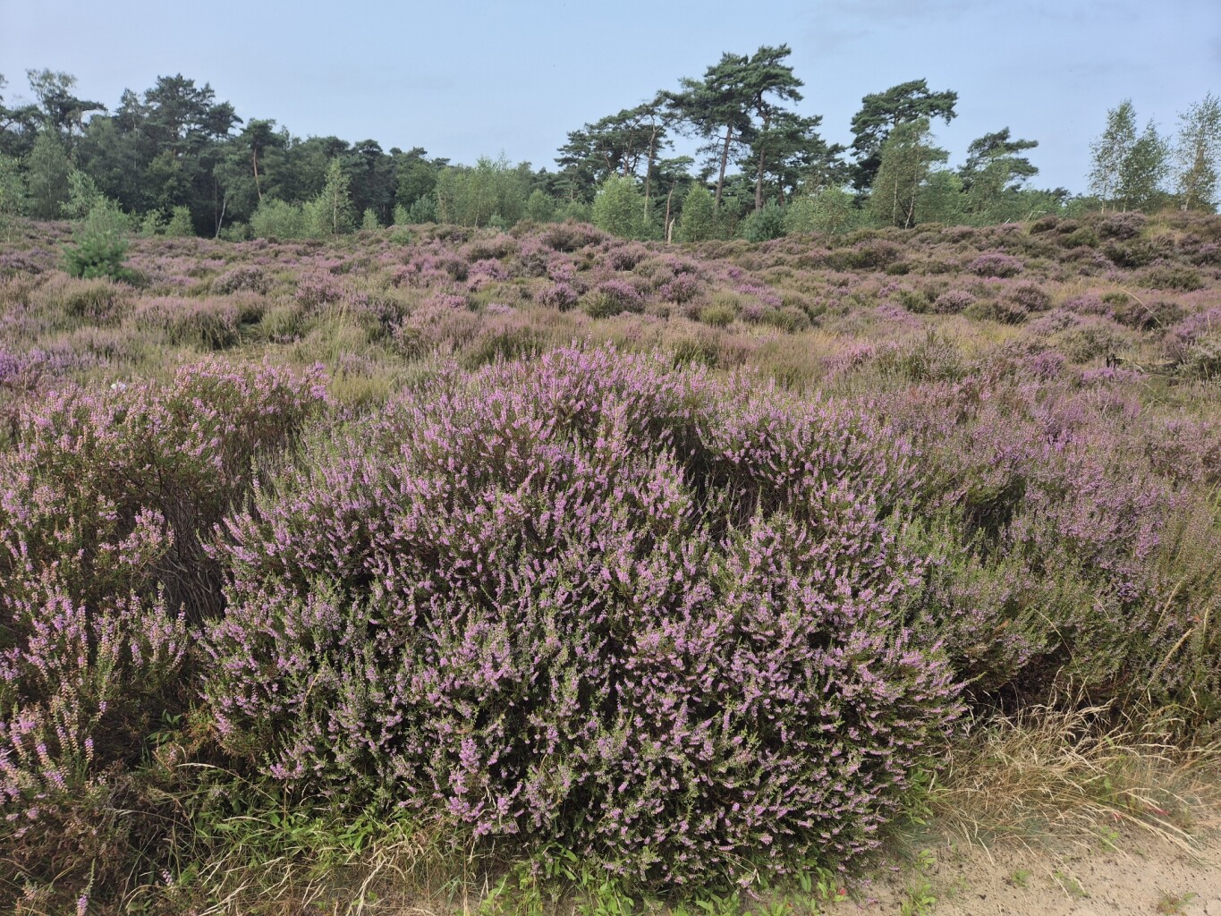
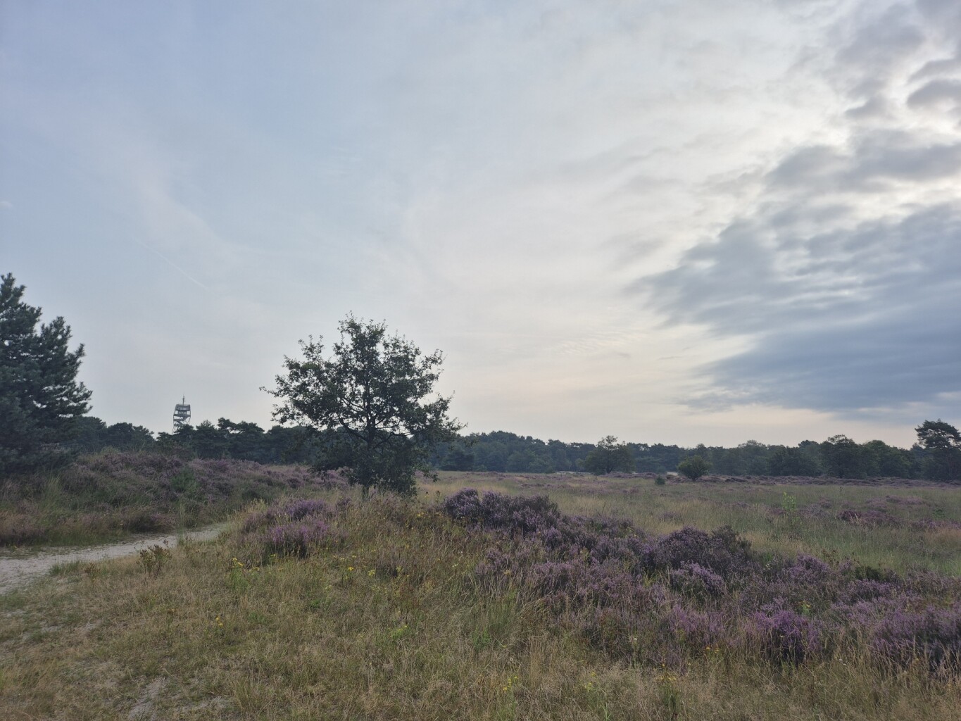
#1. Door de Kalmthoutse Heide
Kalmthout
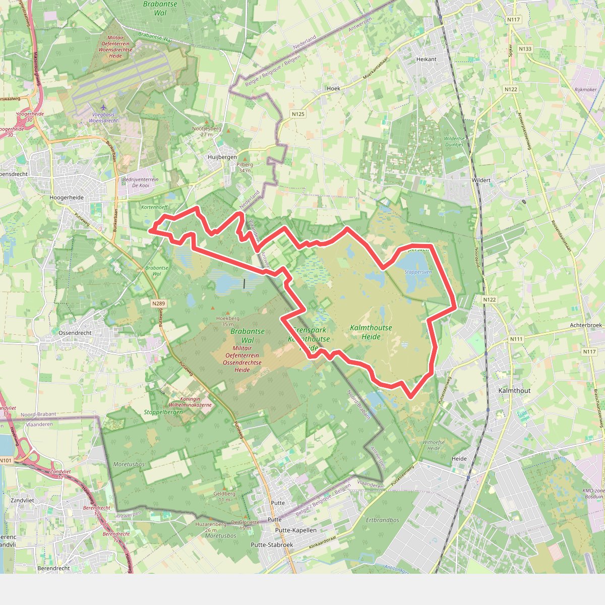
#2. Kalmthoutse Heide - Ree
Huijbergen,Hoogerheide,Ossendrecht
#3. Kalmthoutse Heide - Schaap
Kalmthout
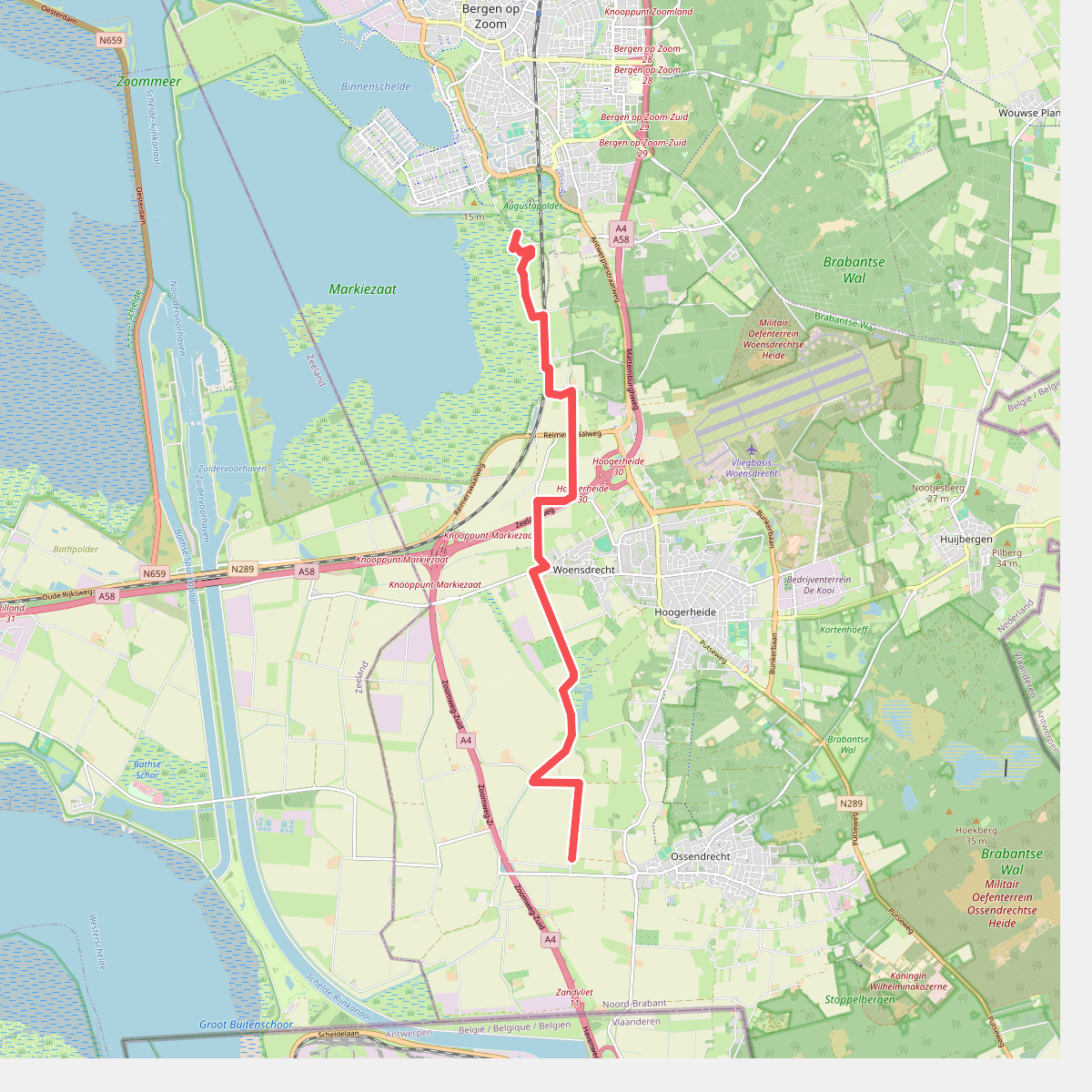
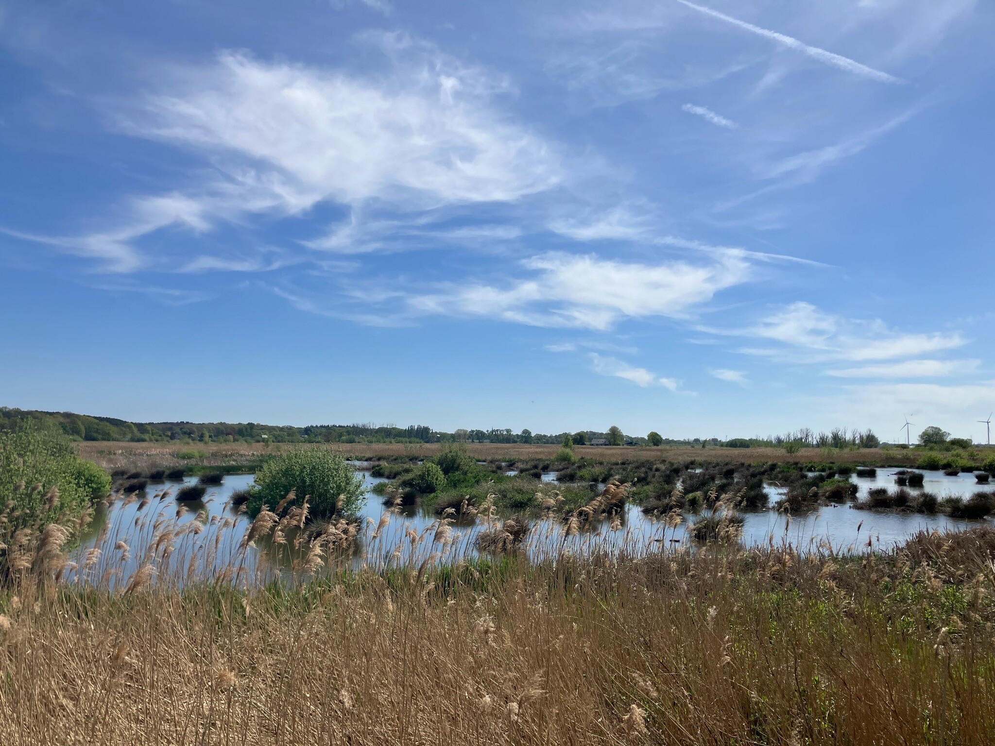
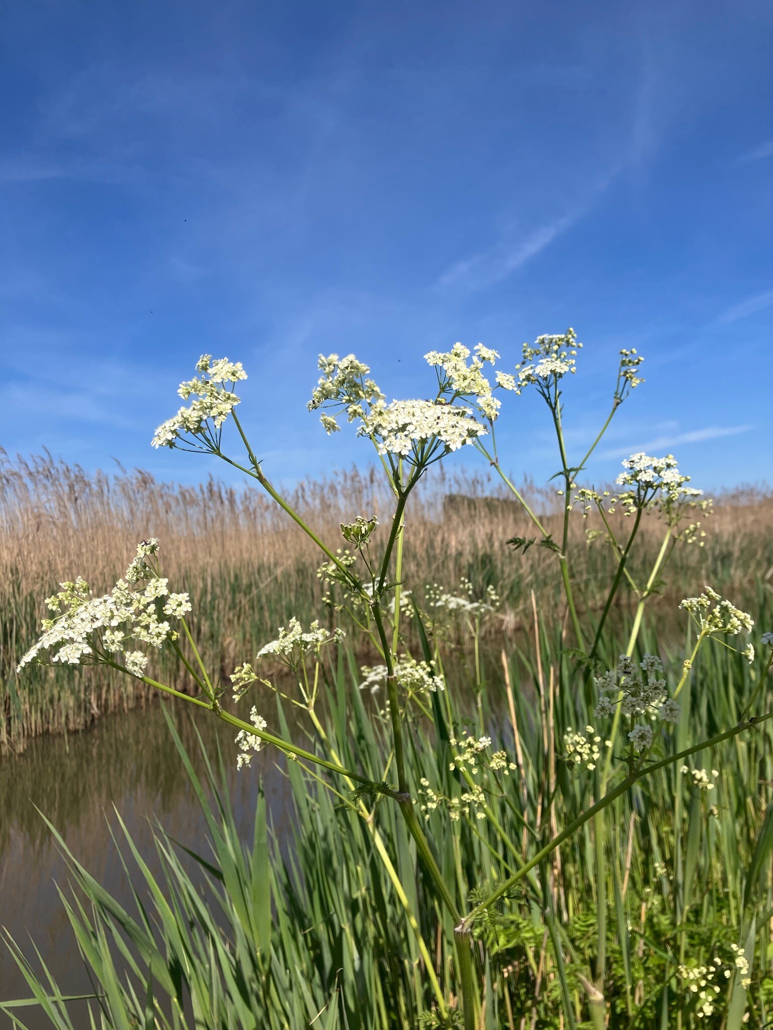
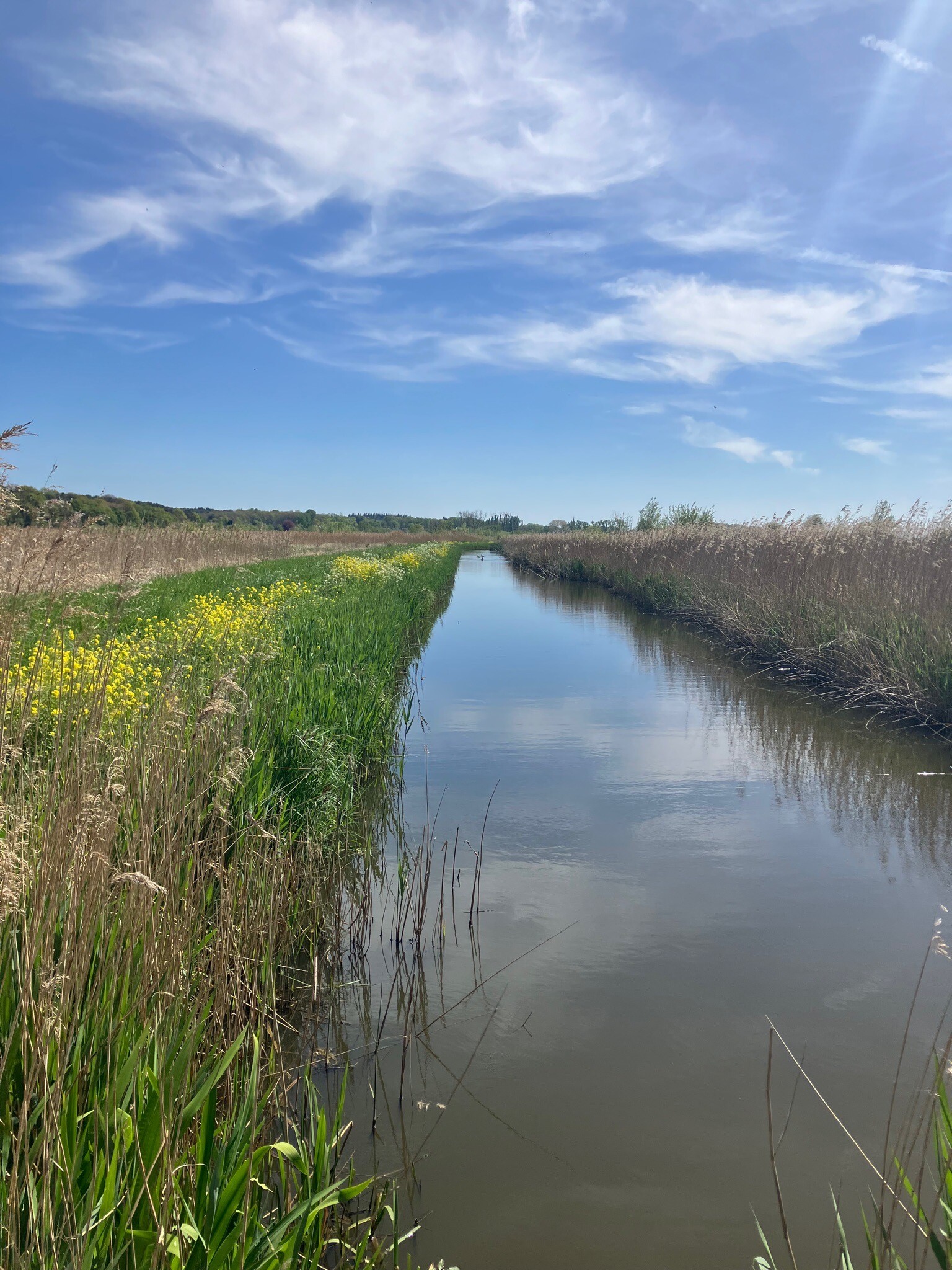
#4. Bergen op Zoom - Naar het Leen · Oosterscheldepad etappe 12
Bergen op Zoom,Hoogerheide,Woensdrecht,Ossendrecht
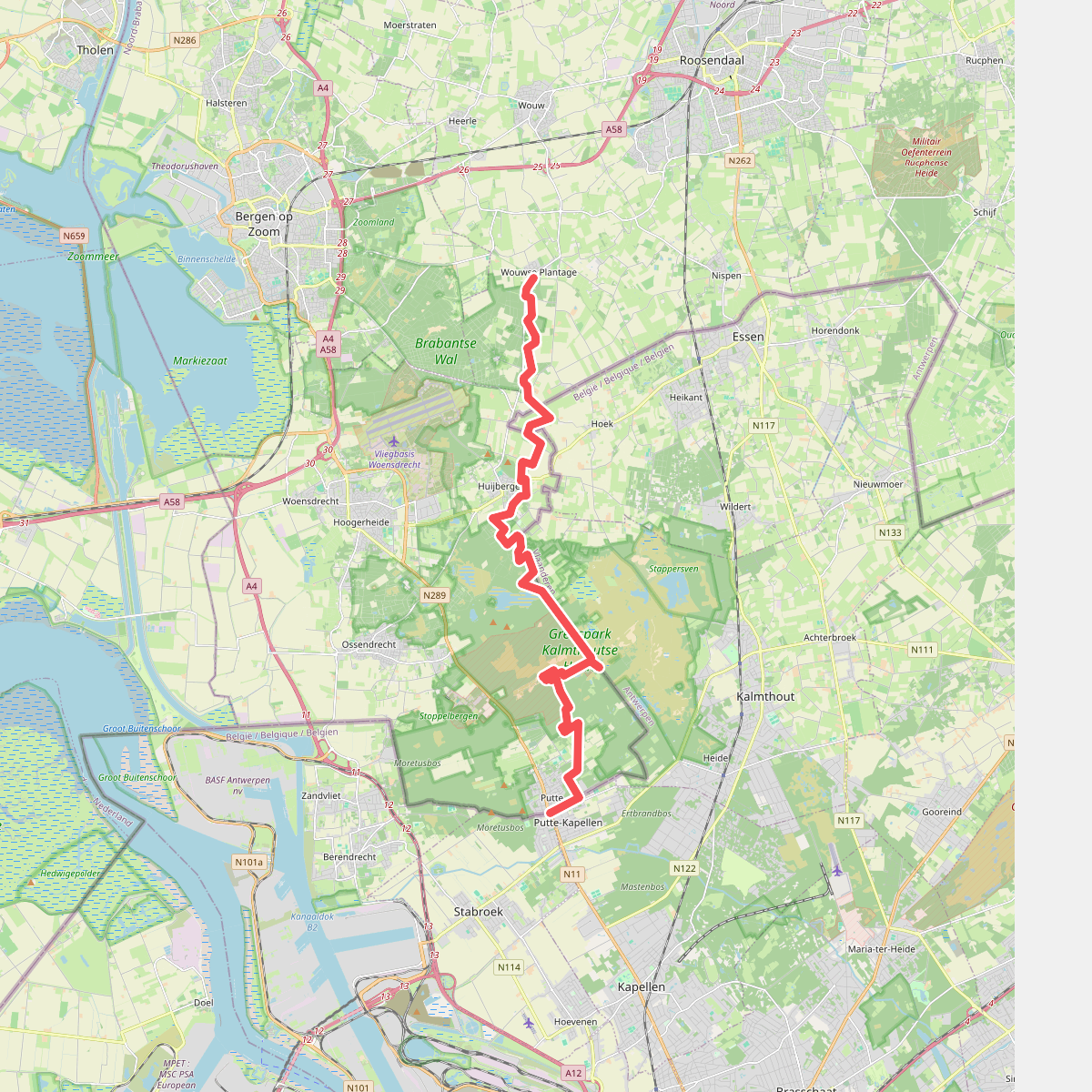
#5. Wouwse Plantage - Putte · Brabantse Wal etappe 4
Putte,Ossendrecht,Huijbergen,Hoogerheide,Wouwse Plantage
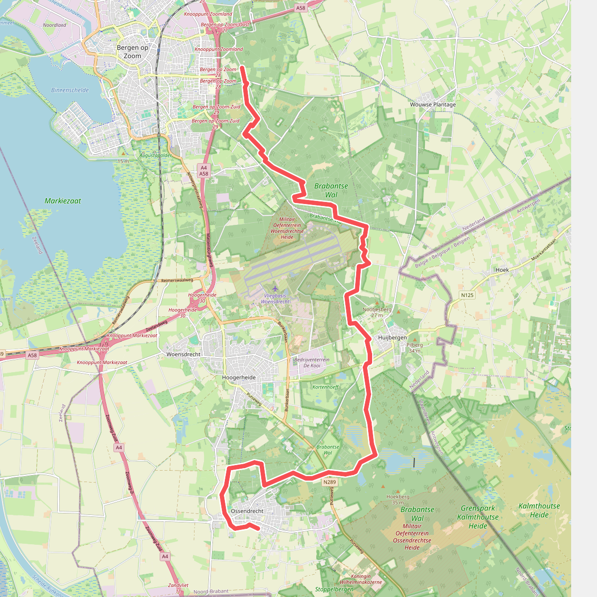
#6. Bergen op Zoom - Ossendrecht · GR12 Vlaanderen etappe 1
Bergen op Zoom,Wouwse Plantage,Huijbergen,Hoogerheide,Ossendrecht
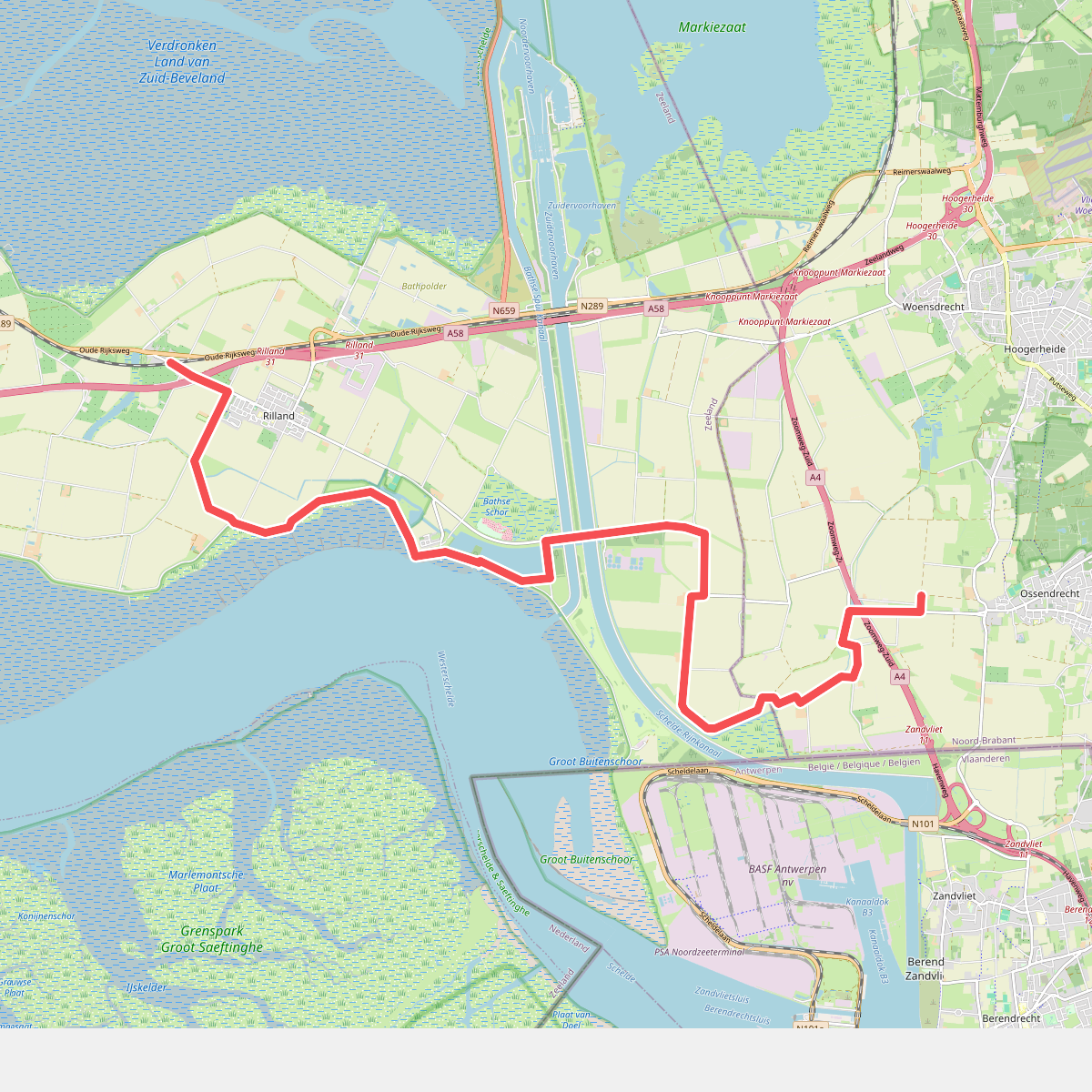
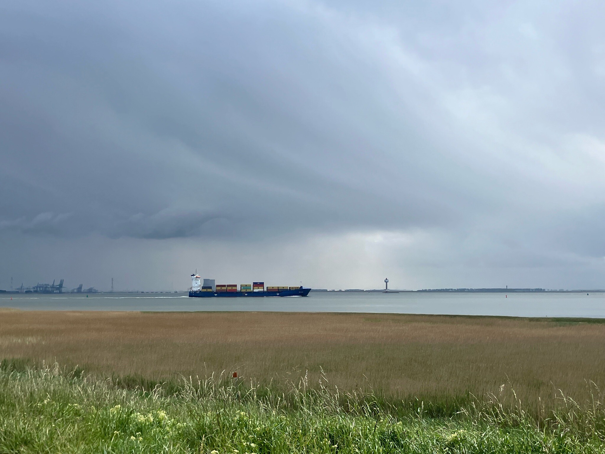
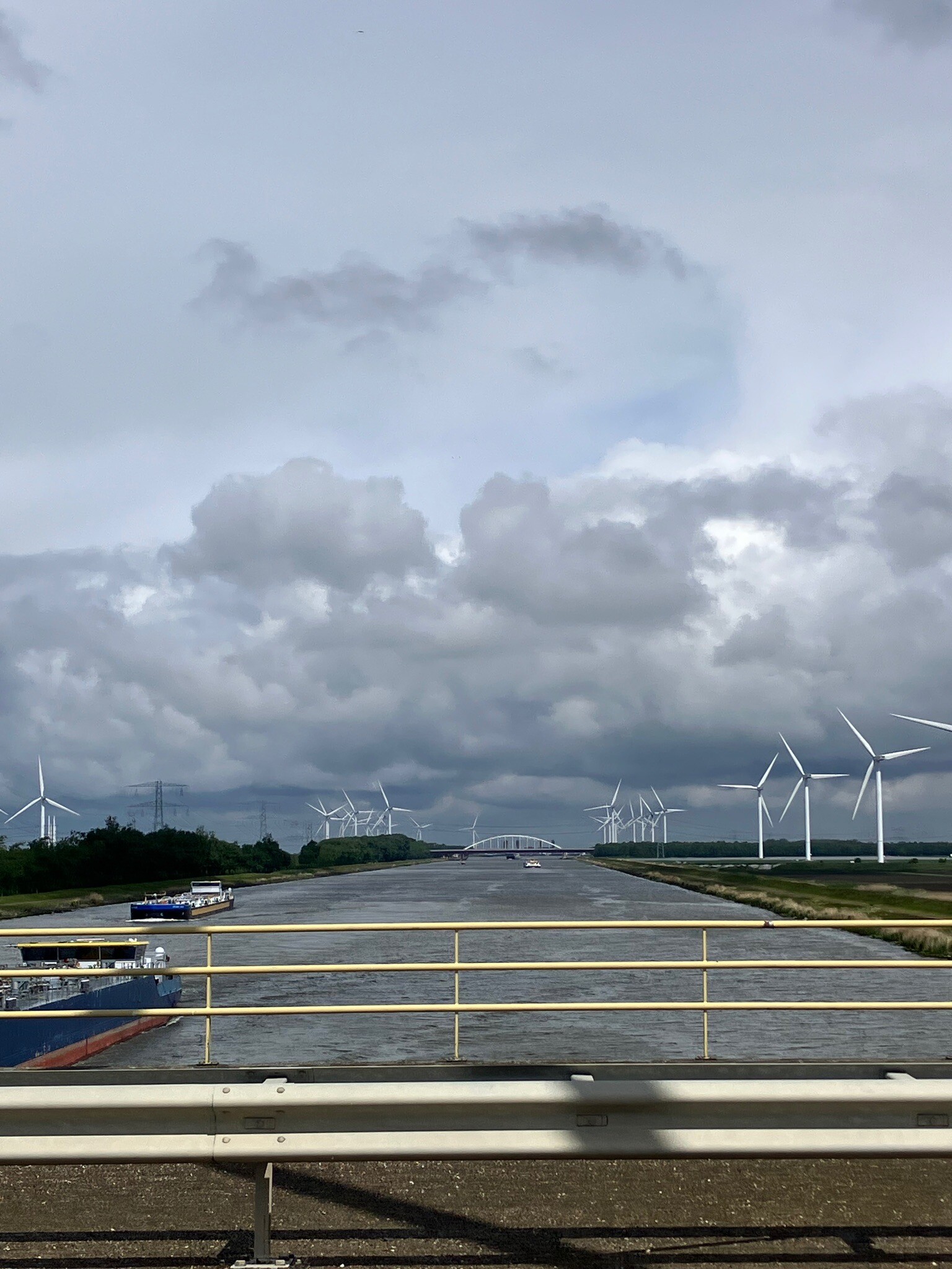
#7. Naar het Leen (Ossendrecht) - Station Rilland-Bath · Oosterscheldepad etappe 13
Ossendrecht,Woensdrecht,Rilland
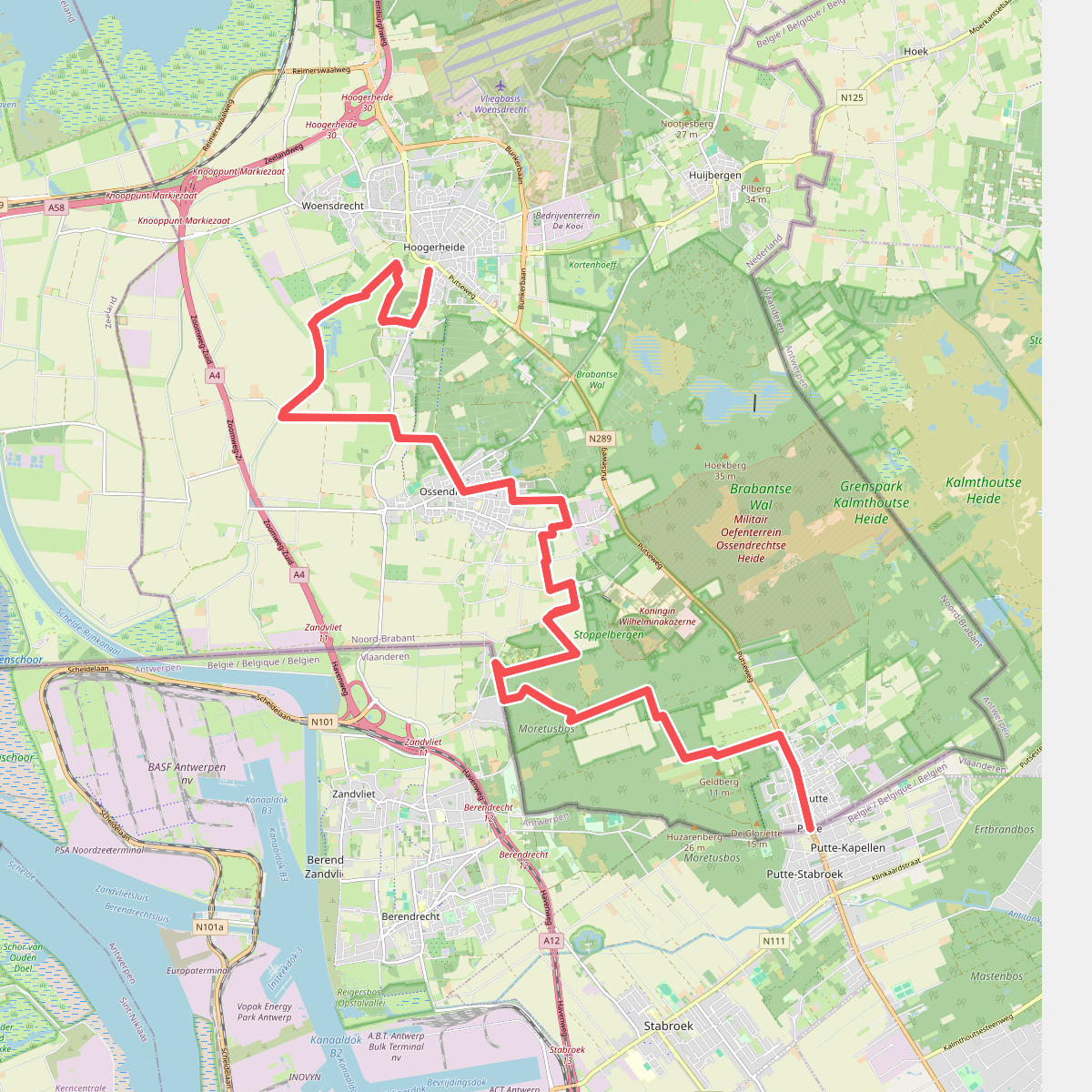
#8. Putte - Hoogerheide · Brabantse Wal etappe 5
Hoogerheide,Woensdrecht,Ossendrecht,Putte
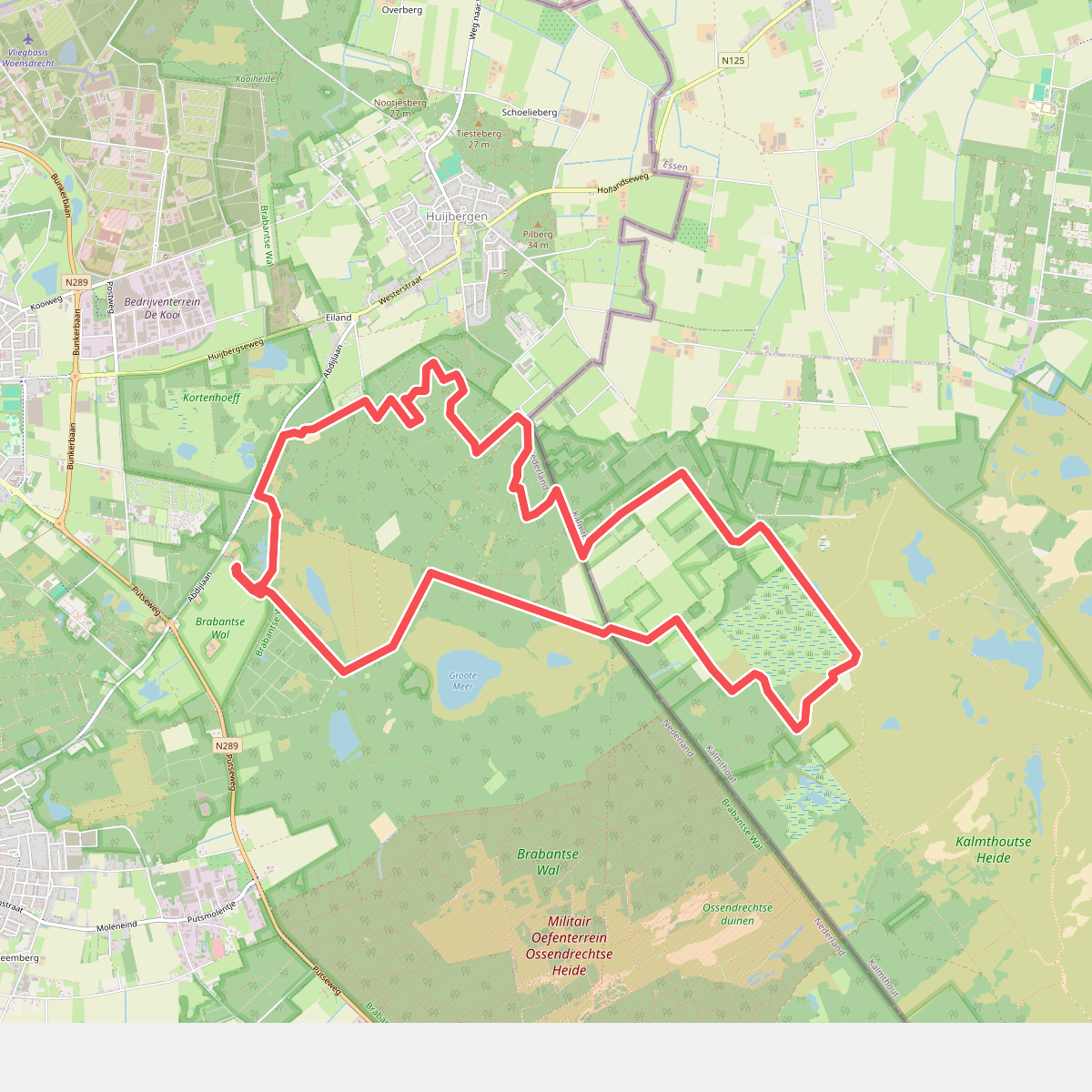
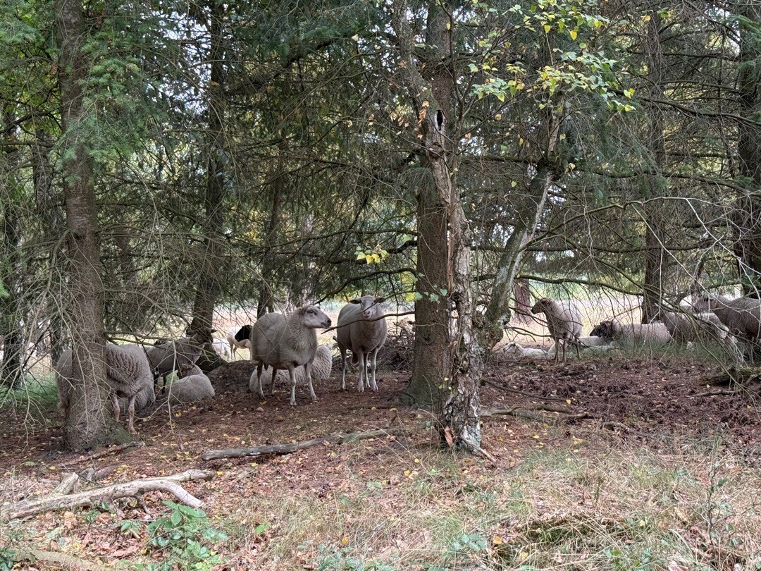
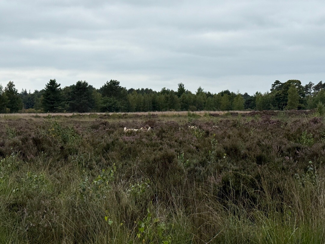
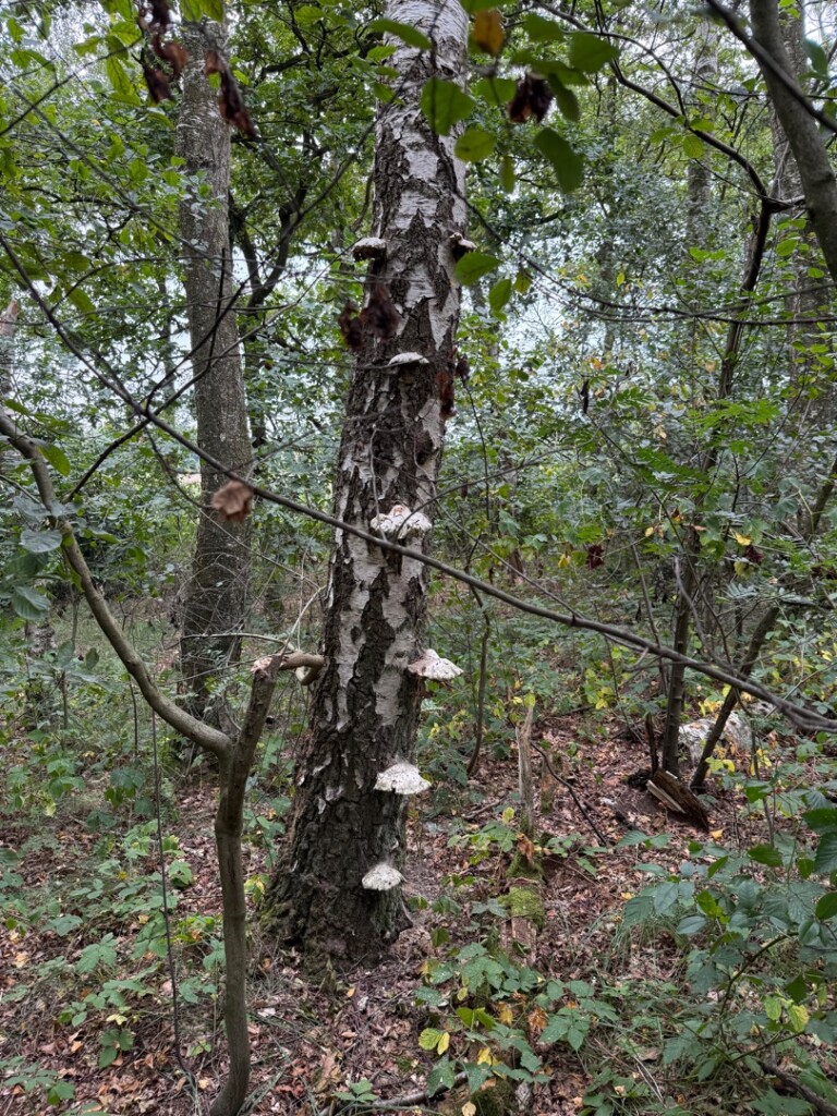
#9. Struinen over de Kalmthoutse Heide
Hoogerheide,Huijbergen,Ossendrecht
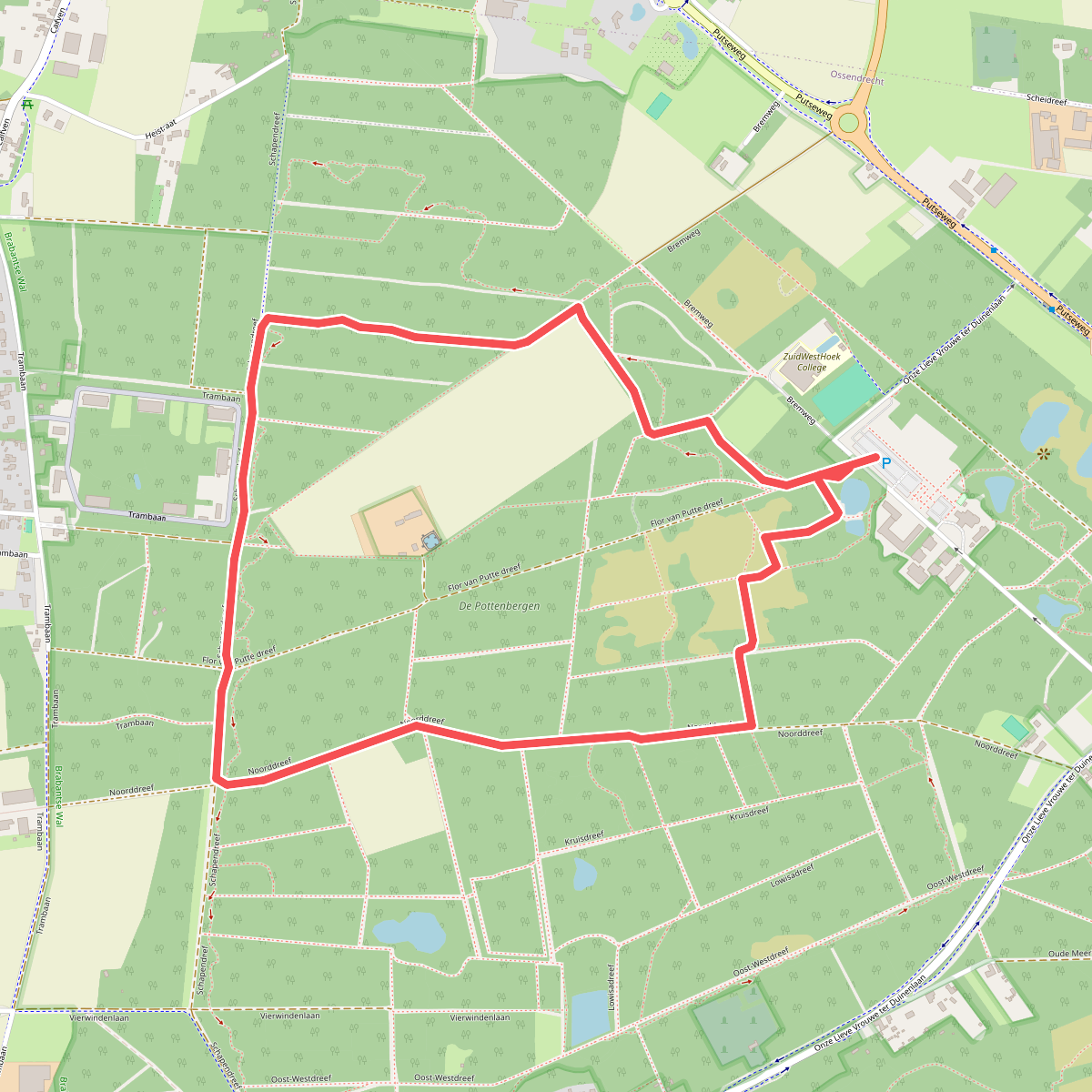
#10. Abdijbos
Ossendrecht
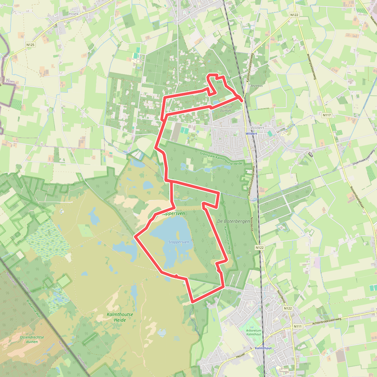
#11. De duintjes
Essen,Kalmthout
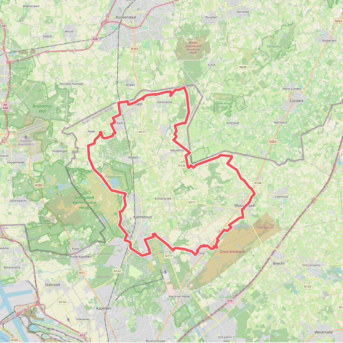
#12. Erfgoedwandelroute Damme
Nispen,Schijf,Achtmaal



