

The best hiking routes in Brabantse Wal
Discover the best walks in Brabantse Wal. 27 routes on the map, with descriptions, photos and GPX.
Managed by Staatsbosbeheer;Natuurmonumenten;Brabants Landschap;Ministerie van Defensie
About Brabantse Wal
The Brabantse Wal is defined by a steep geological edge where the sandy Pleistocene plateau drops abruptly into the marine clay polders of Zeeland. Walking here means constantly transitioning between these two distinct landscapes. On the higher eastern side, the paths run through dry pine forests, shifting sands, and inland heathlands. Descending the slope brings you immediately into wet clay polders, marshy grasslands, and tidal creeks. This abrupt elevation change of up to twenty meters is highly visible along the western escarpment.
Read more
About Brabantse Wal
The Brabantse Wal is defined by a steep geological edge where the sandy Pleistocene plateau drops abruptly into the marine clay polders of Zeeland. Walking here means constantly transitioning between these two distinct landscapes. On the higher eastern side, the paths run through dry pine forests, shifting sands, and inland heathlands. Descending the slope brings you immediately into wet clay polders, marshy grasslands, and tidal creeks. This abrupt elevation change of up to twenty meters is highly visible along the western escarpment.
Read moreThe Brabantse Wal is defined by a steep geological edge where the sandy Pleistocene plateau drops abruptly into the marine clay polders of Zeeland. Walking here means constantly transitioning between these two distinct landscapes. On the higher eastern side, the paths run through dry pine forests, shifting sands, and inland heathlands. Descending the slope brings you immediately into wet clay polders, marshy grasslands, and tidal creeks. This abrupt elevation change of up to twenty meters is highly visible along the western escarpment.
Underfoot, the terrain changes rapidly from loose, dry sand on the ridge to damp clay and peat in the lower zones. The higher forested sections are dominated by sandy tracks that can feel heavy, while the lower polder borders feature firmer clay paths and grassy dikes. In August, the dry heath sections turn purple, contrasting with the green agricultural fields directly below the ridge. Unlike flat Dutch polder walks, this area requires constant short climbs and descents along the forested edge.
Because the escarpment stretches over several kilometers, walkers can choose between sheltered woodland routes or open, exposed polder paths. The transition zone along the slope is often the busiest section, particularly around the viewpoints looking out over the lower polders. If you prefer deep forest silence, stick to the eastern sandy tracks managed by Staatsbosbeheer and the military; if you want wide views over agricultural land and wet ditches, follow the lower clay paths.
Hiking routes in Brabantse Wal (27)
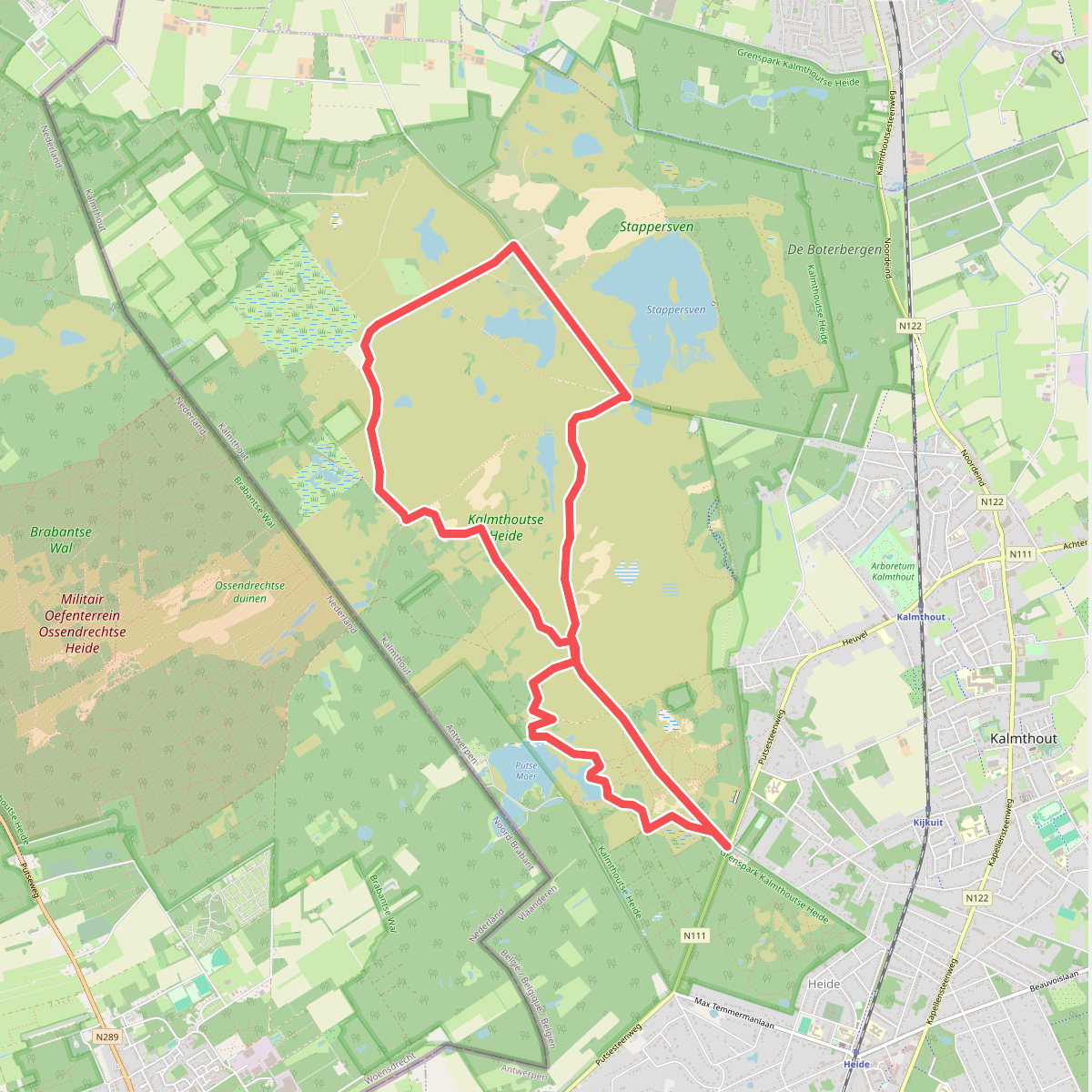
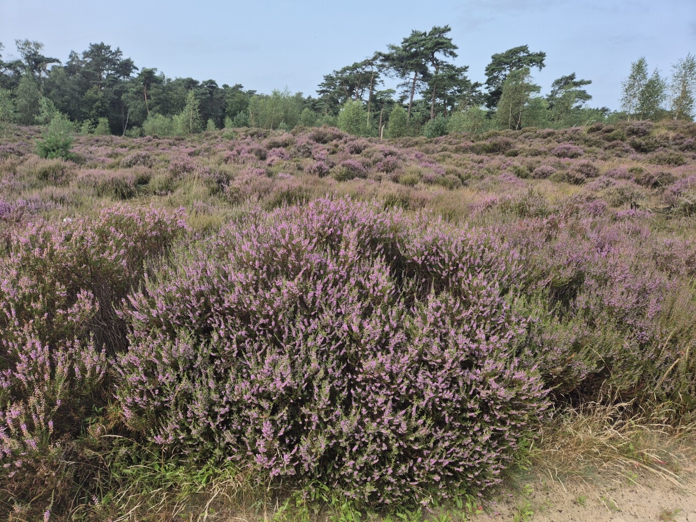
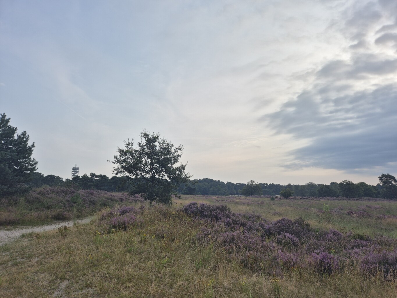
#1. Door de Kalmthoutse Heide
Kalmthout
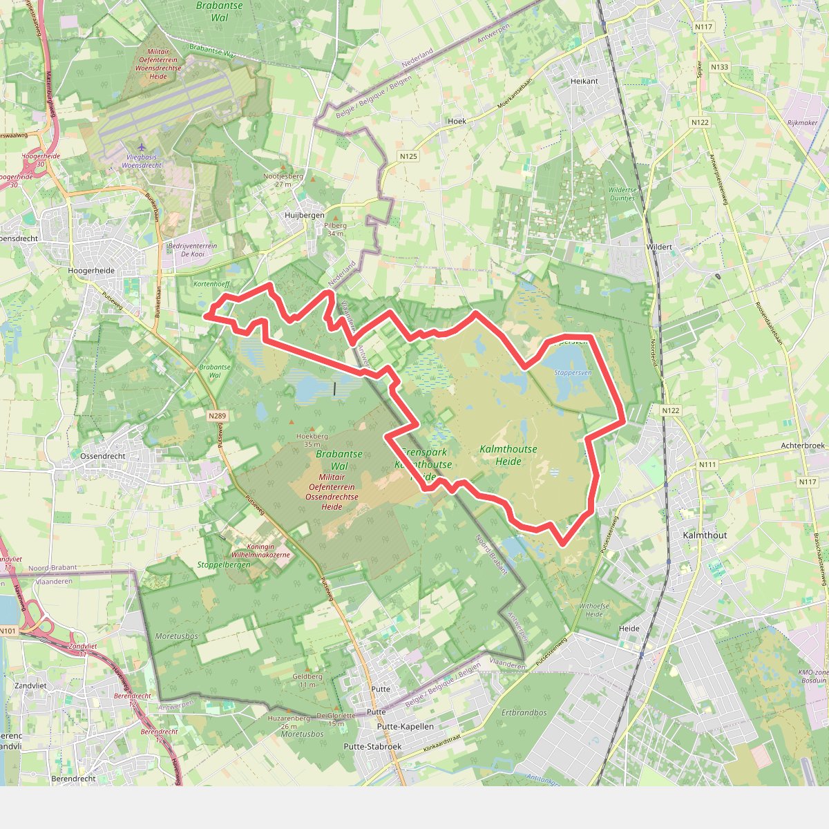
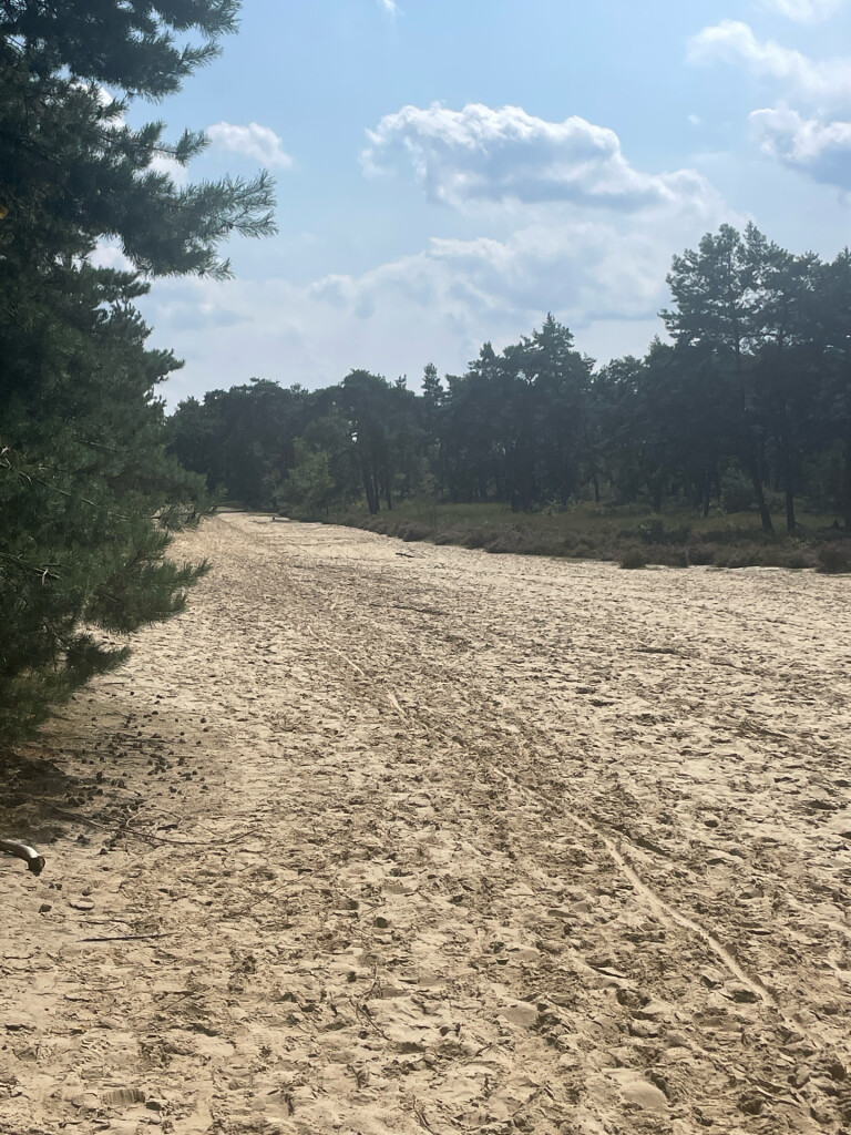
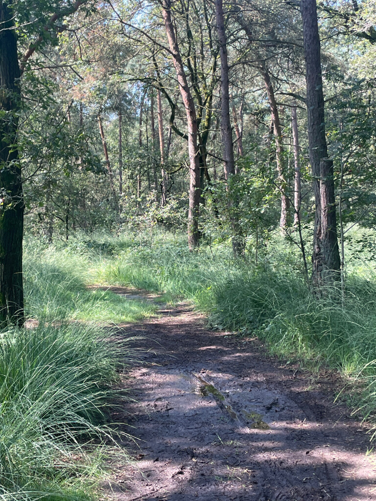
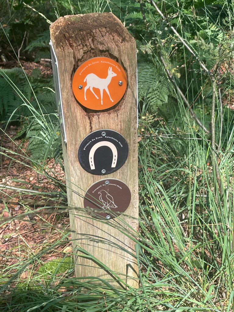
#2. Kalmthoutse Heide - Ree
Huijbergen,Hoogerheide,Ossendrecht
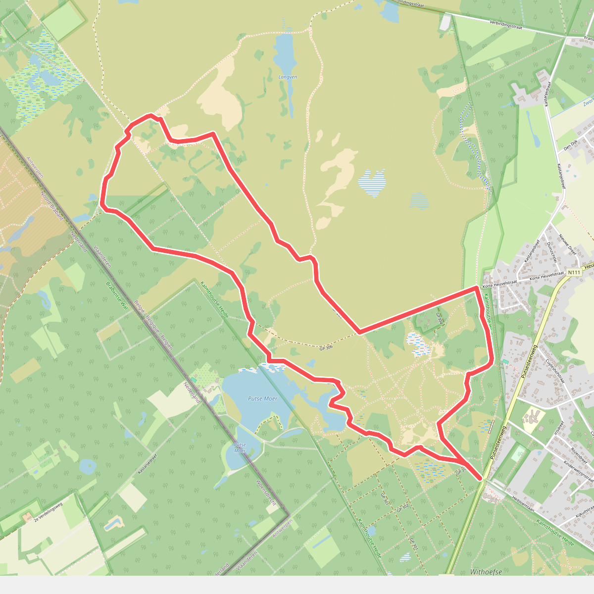
#3. Kalmthoutse Heide - Schaap
Kalmthout
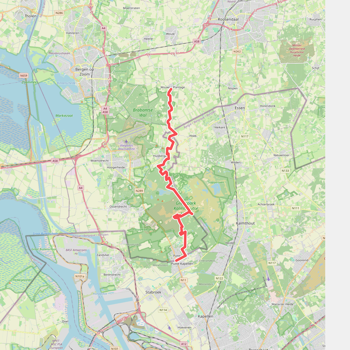
#4. Wouwse Plantage - Putte · Brabantse Wal etappe 4
Putte,Ossendrecht,Huijbergen,Hoogerheide,Wouwse Plantage
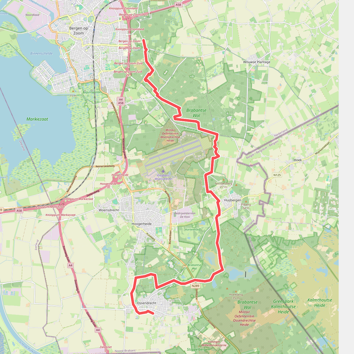
#5. Bergen op Zoom - Ossendrecht · GR12 Vlaanderen etappe 1
Bergen op Zoom,Wouwse Plantage,Huijbergen,Hoogerheide,Ossendrecht
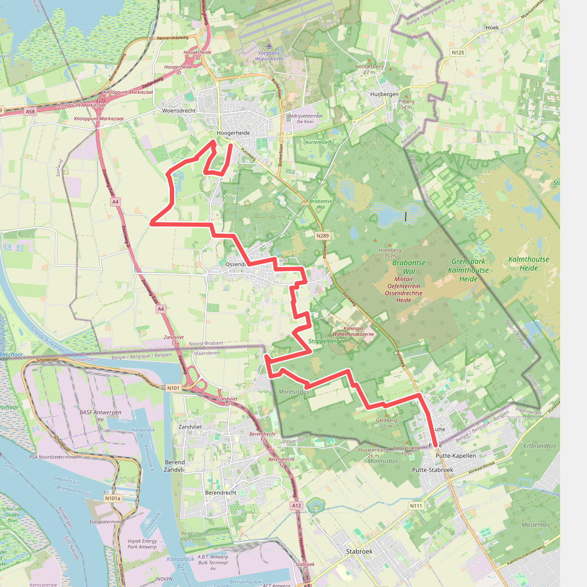
#6. Putte - Hoogerheide · Brabantse Wal etappe 5
Hoogerheide,Woensdrecht,Ossendrecht,Putte
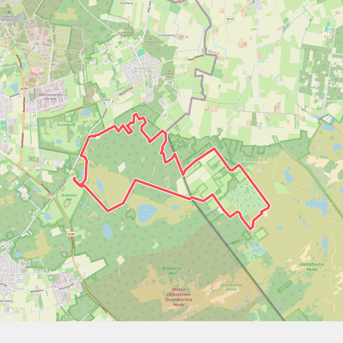
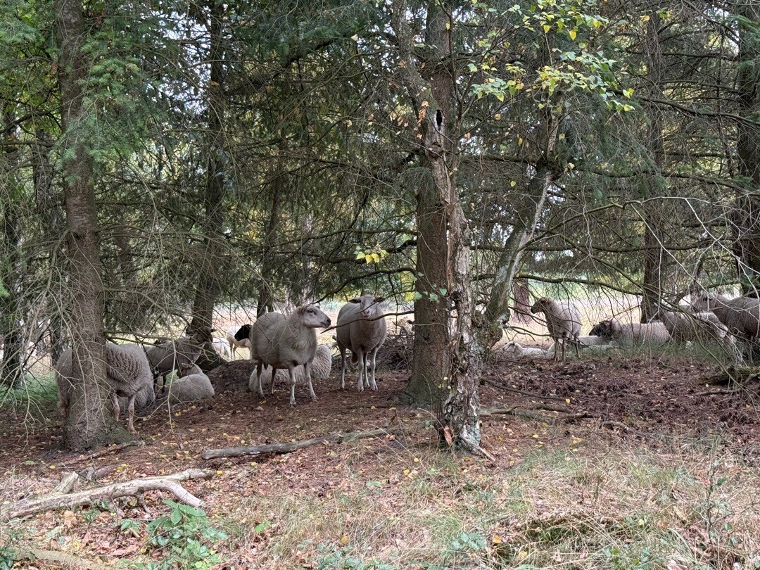
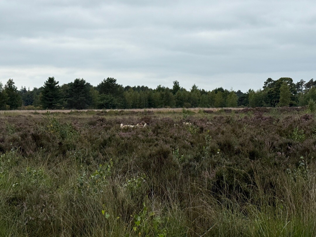
#7. Struinen over de Kalmthoutse Heide
Hoogerheide,Huijbergen,Ossendrecht
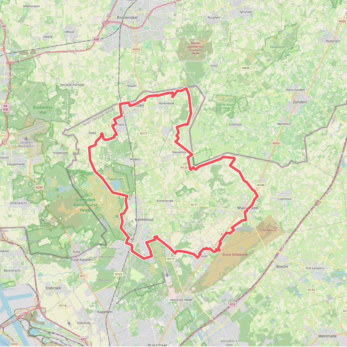
#8. Erfgoedwandelroute Damme
Nispen,Schijf,Achtmaal
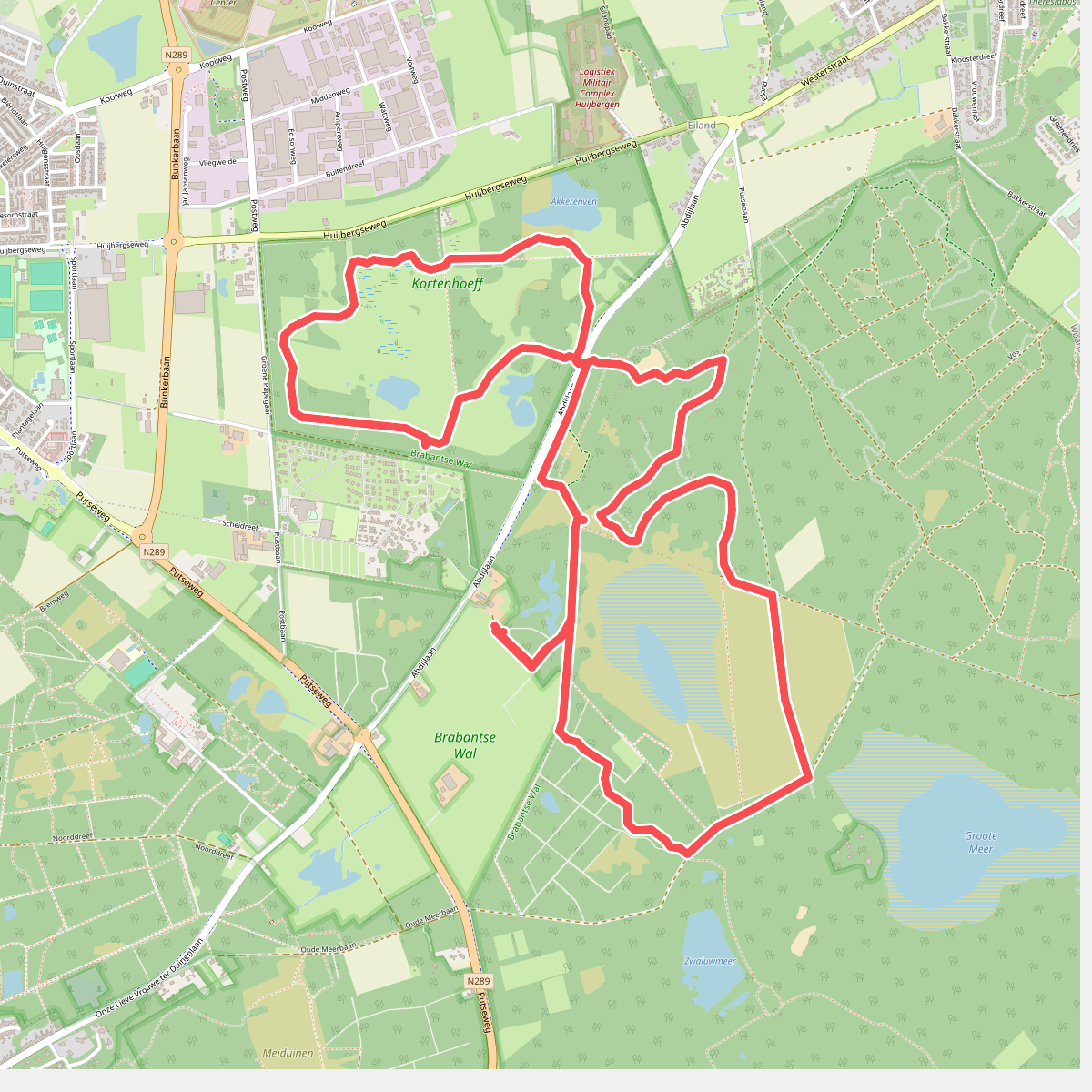
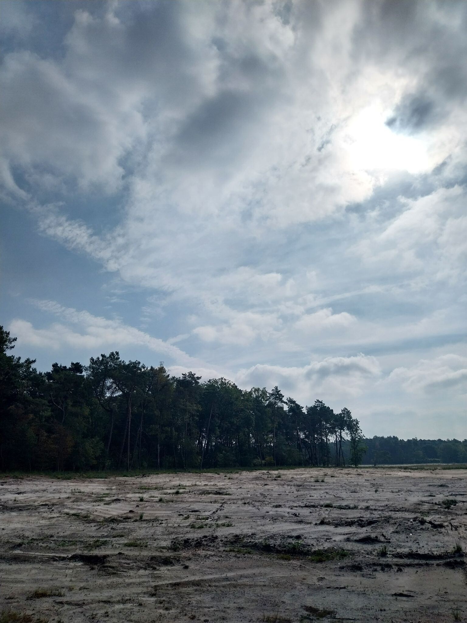
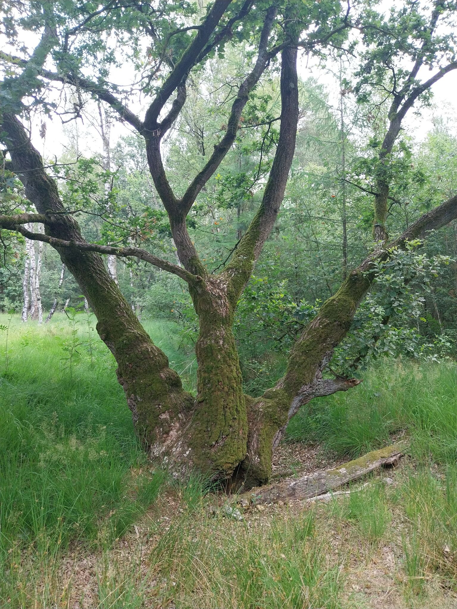
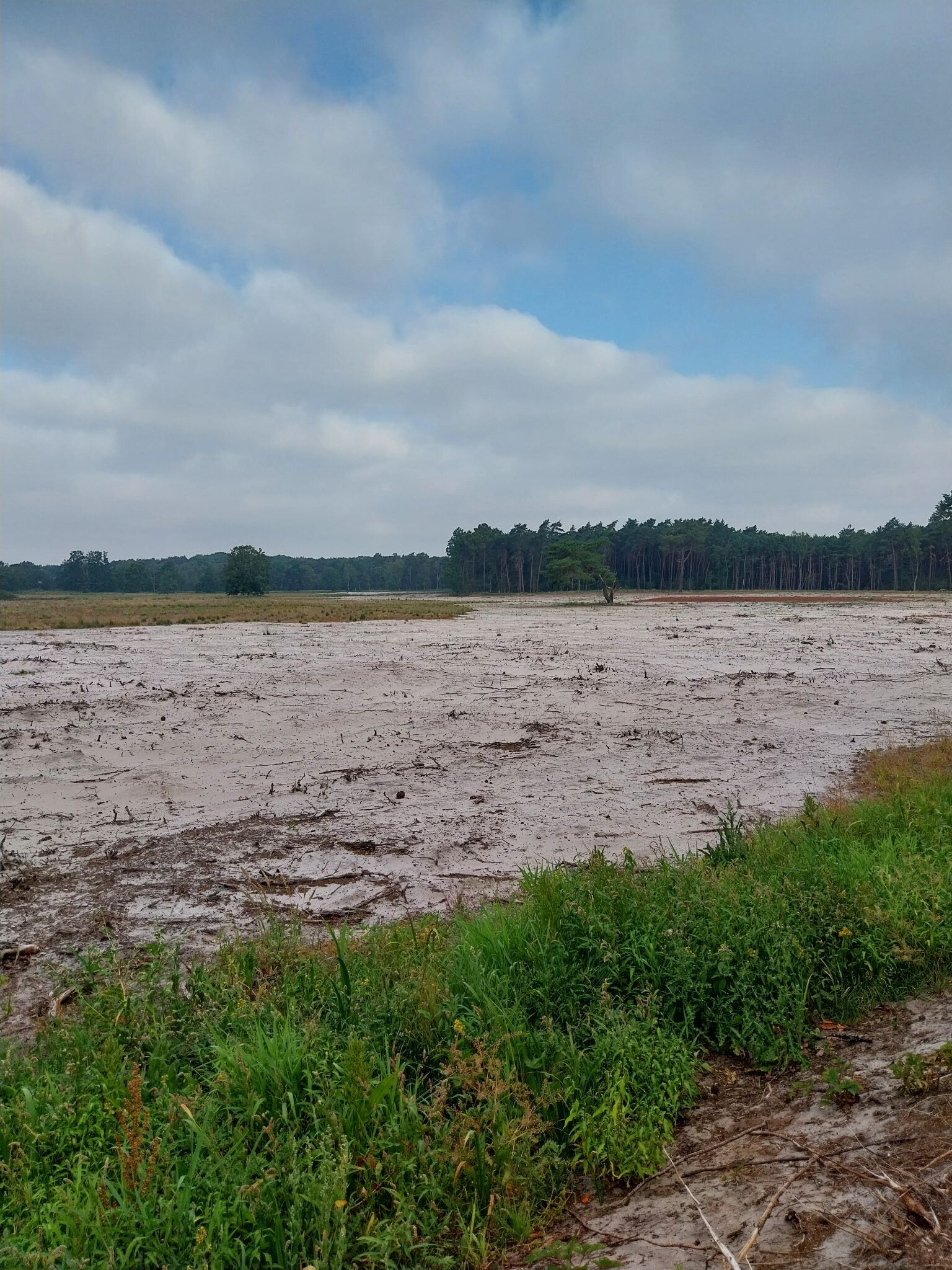
#9. Fuut en uil wandeling
Ossendrecht,Hoogerheide
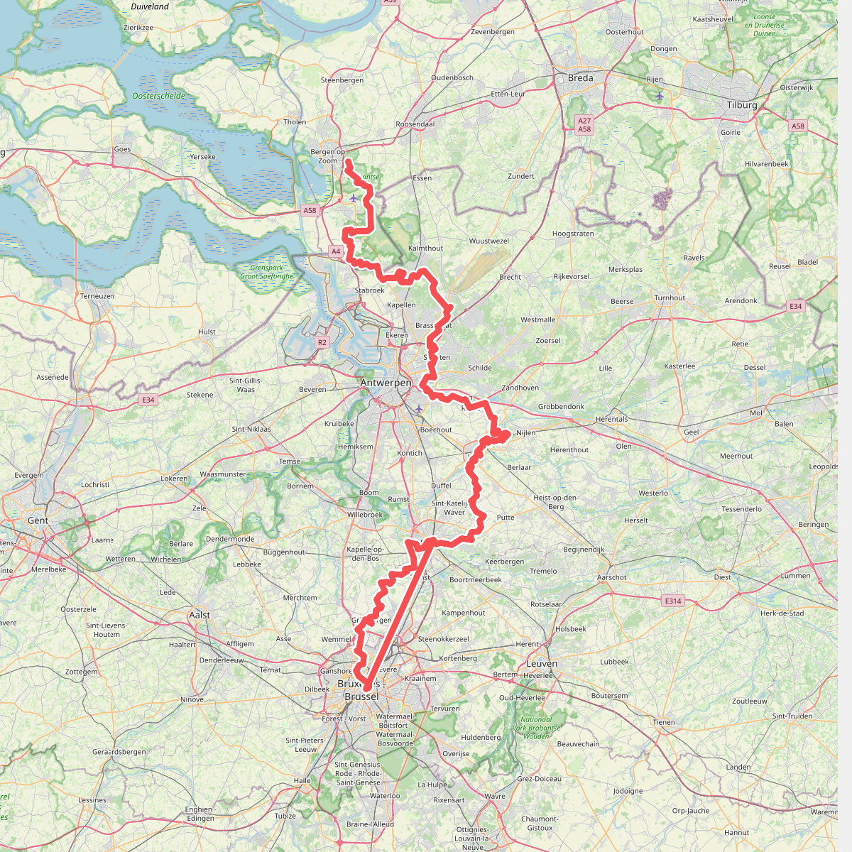
#10. GR 12 Vlaanderen, Bergen op Zoom - Bruxelles
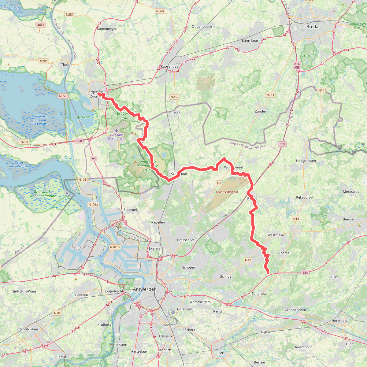
#11. GR 5 Belgie, Vlaanderen Noord
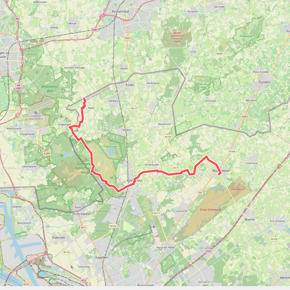
#12. Grens Nederland-België - Wuustwezel · GR5 etappe 7
Wouwse Plantage,Huijbergen



