

The best hiking routes in Brabantse Wal
Discover the best walks in Brabantse Wal. 36 routes on the map, with descriptions, photos and GPX.
Managed by Staatsbosbeheer;Natuurmonumenten;Brabants Landschap;Ministerie van Defensie
About Brabantse Wal
The Brabantse Wal is defined by a steep geological transition where the sandy Pleistocene plateau drops abruptly down to the Zeeland clay polders. Walking here means encountering a sudden elevation change of up to twenty meters, a rare feature in this part of the Netherlands. This escarpment creates distinct zones for a walker, shifting from dry, elevated pine forests and drifting sands on the eastern side to wet, low-lying polders and clay fields directly to the west.
Read more
About Brabantse Wal
The Brabantse Wal is defined by a steep geological transition where the sandy Pleistocene plateau drops abruptly down to the Zeeland clay polders. Walking here means encountering a sudden elevation change of up to twenty meters, a rare feature in this part of the Netherlands. This escarpment creates distinct zones for a walker, shifting from dry, elevated pine forests and drifting sands on the eastern side to wet, low-lying polders and clay fields directly to the west.
Read moreThe Brabantse Wal is defined by a steep geological transition where the sandy Pleistocene plateau drops abruptly down to the Zeeland clay polders. Walking here means encountering a sudden elevation change of up to twenty meters, a rare feature in this part of the Netherlands. This escarpment creates distinct zones for a walker, shifting from dry, elevated pine forests and drifting sands on the eastern side to wet, low-lying polders and clay fields directly to the west.
Underfoot, the paths change rapidly from loose, dry sand on the higher ridges to damp, firmer soil along the base of the slope. The transition is sharp enough that you can stand on a dry pine-needle path and look down onto flat, ditch-lined agricultural fields. Deciduous trees like oak and beech cling to the slopes, while the higher ground is dominated by Scots pine planted to stabilize the shifting sands.
The area is managed by several organizations, meaning trail marking and path maintenance vary depending on whether you are on forestry commission land, private estates, or military training grounds. While the busier viewpoints near Bergen op Zoom attract regular day-trippers, the deeper forest tracks and the transition zones offer a quieter, more observant walking experience focused on the physical shape of the land.
Hiking routes in Brabantse Wal (36)
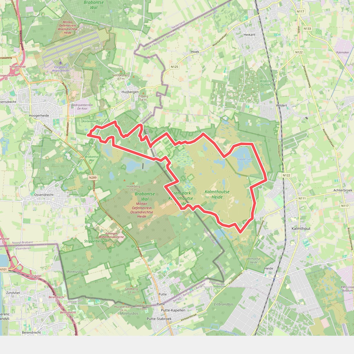
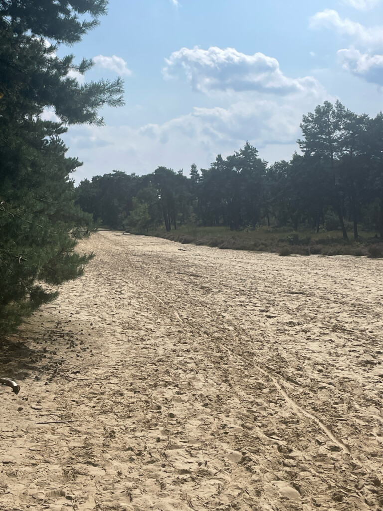
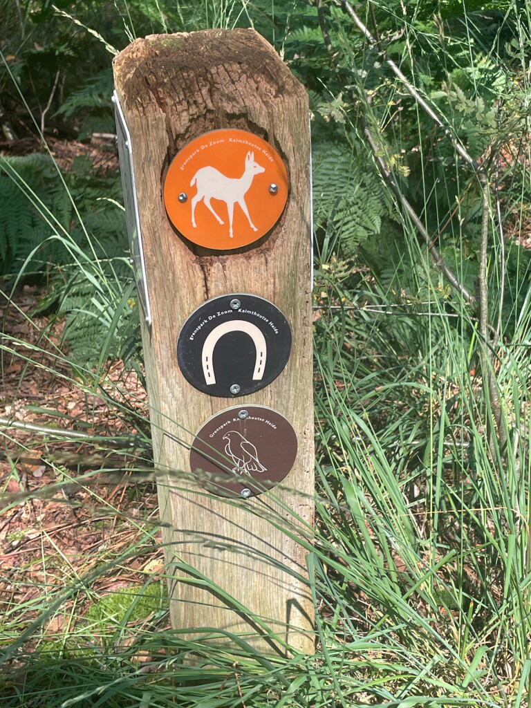
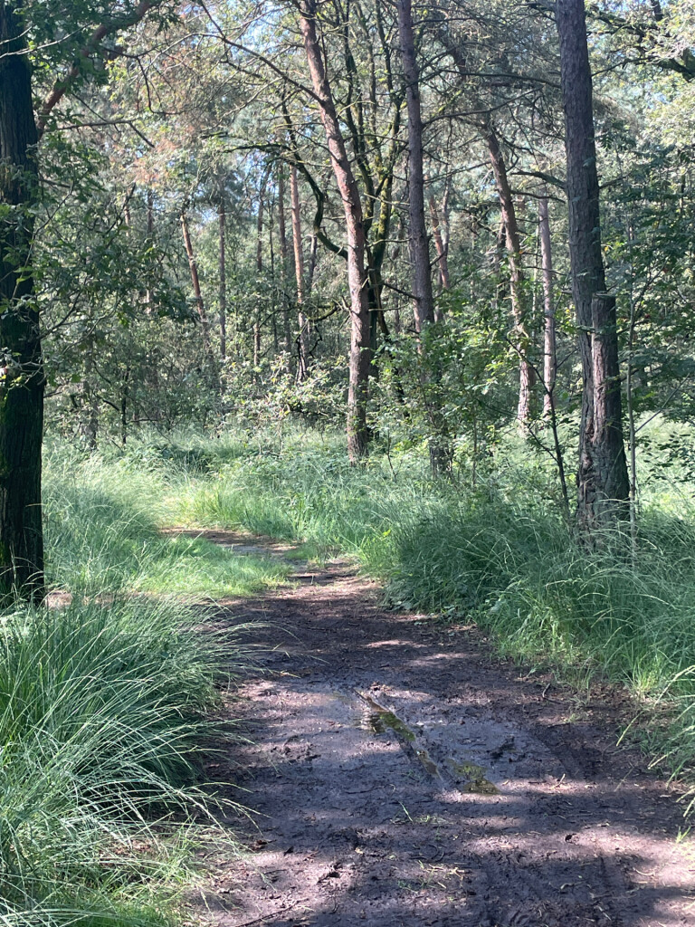
#1. Kalmthoutse Heide - Ree
Huijbergen,Hoogerheide,Ossendrecht
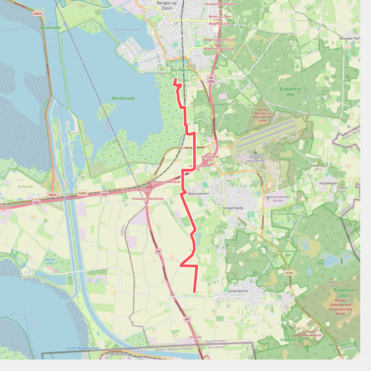
#2. Bergen op Zoom - Naar het Leen · Oosterscheldepad etappe 12
Bergen op Zoom,Hoogerheide,Woensdrecht,Ossendrecht
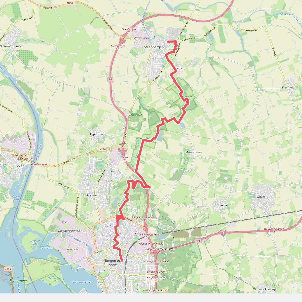
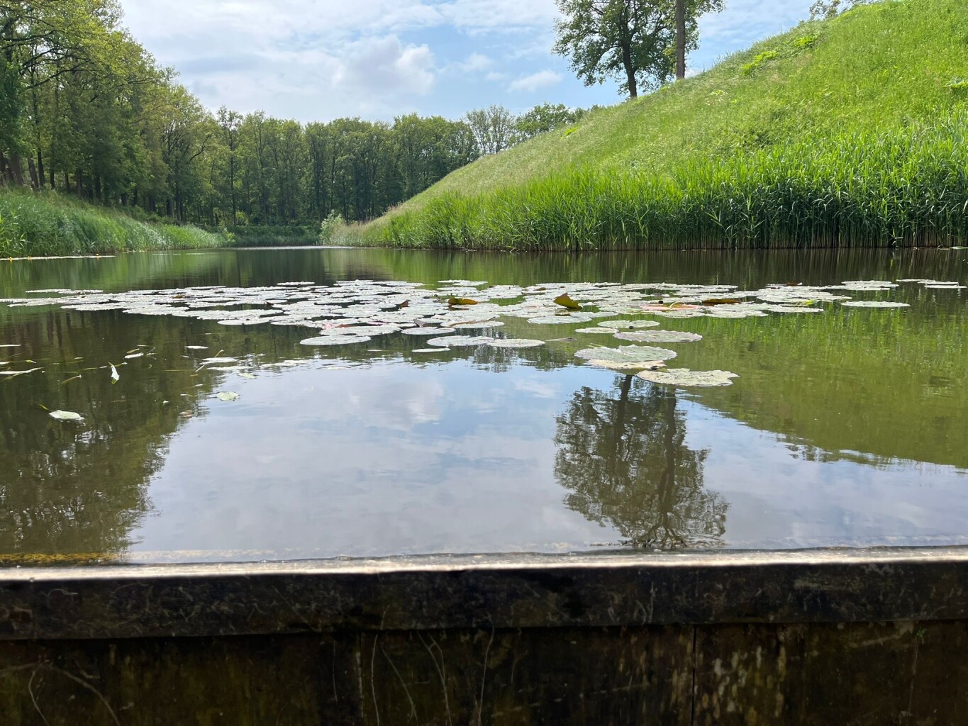
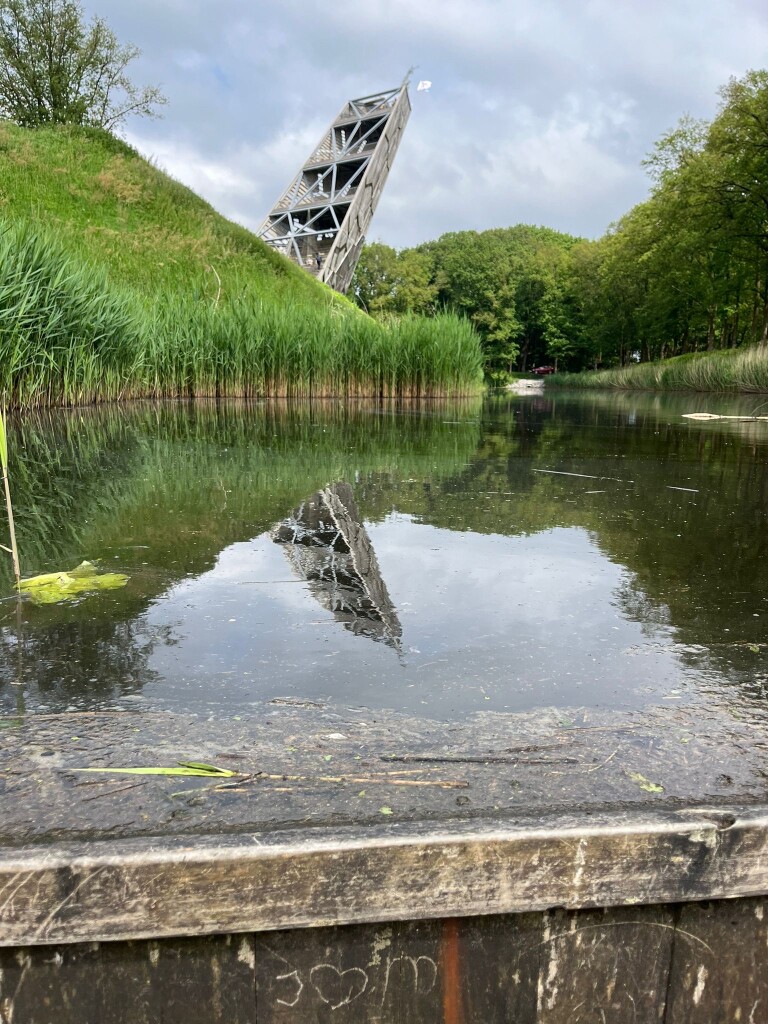
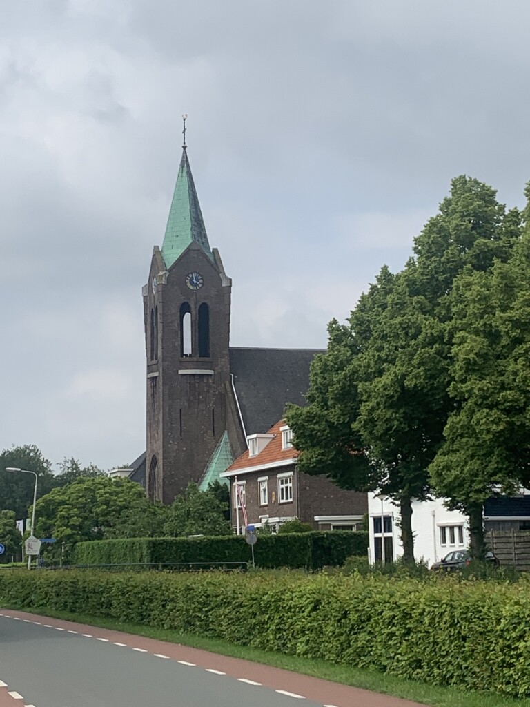
#3. Bergen op Zoom - Steenbergen · Zuiderwaterliniepad etappe 1
Steenbergen,Moerstraten,Bergen op Zoom,Halsteren
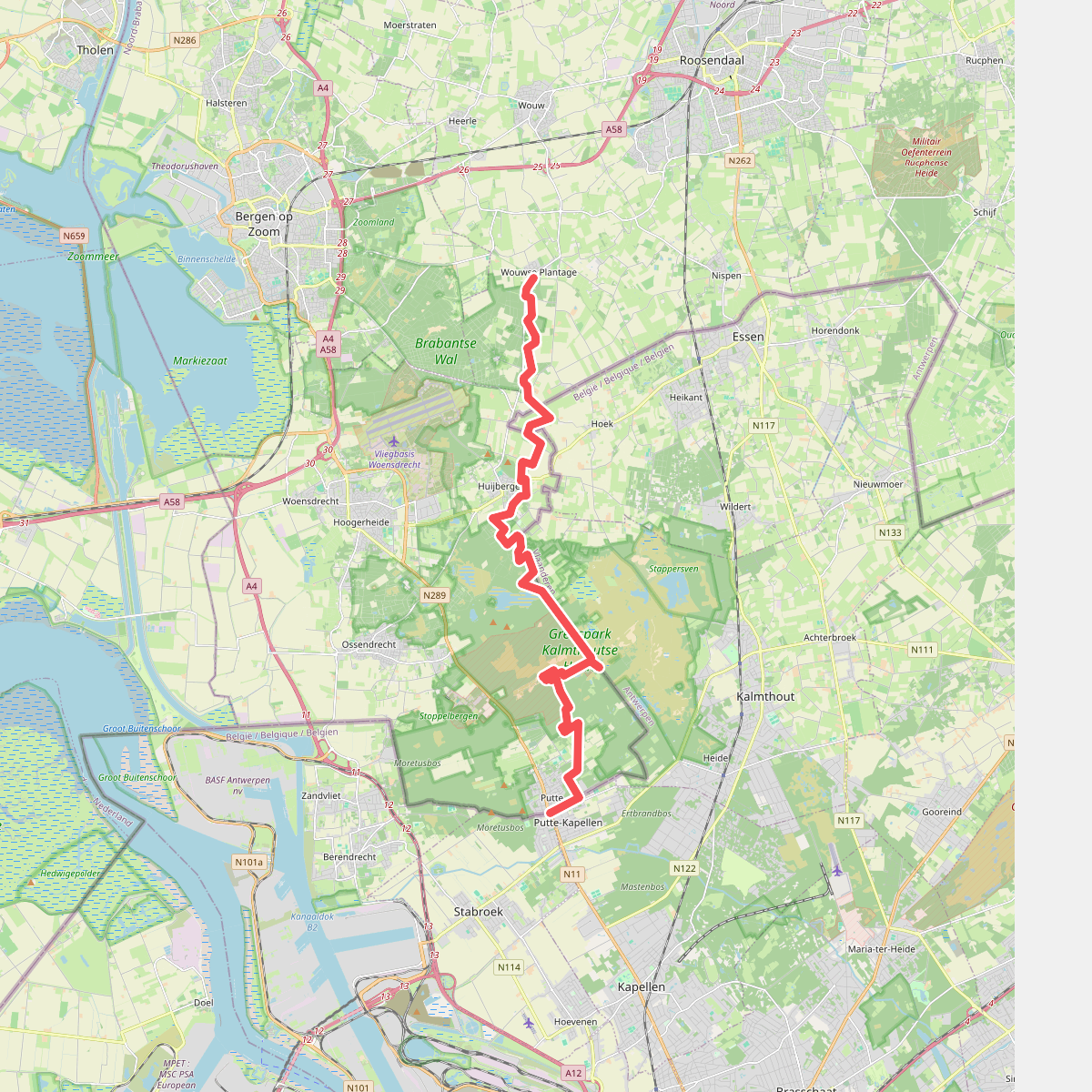
#4. Wouwse Plantage - Putte · Brabantse Wal etappe 4
Putte,Ossendrecht,Huijbergen,Hoogerheide,Wouwse Plantage
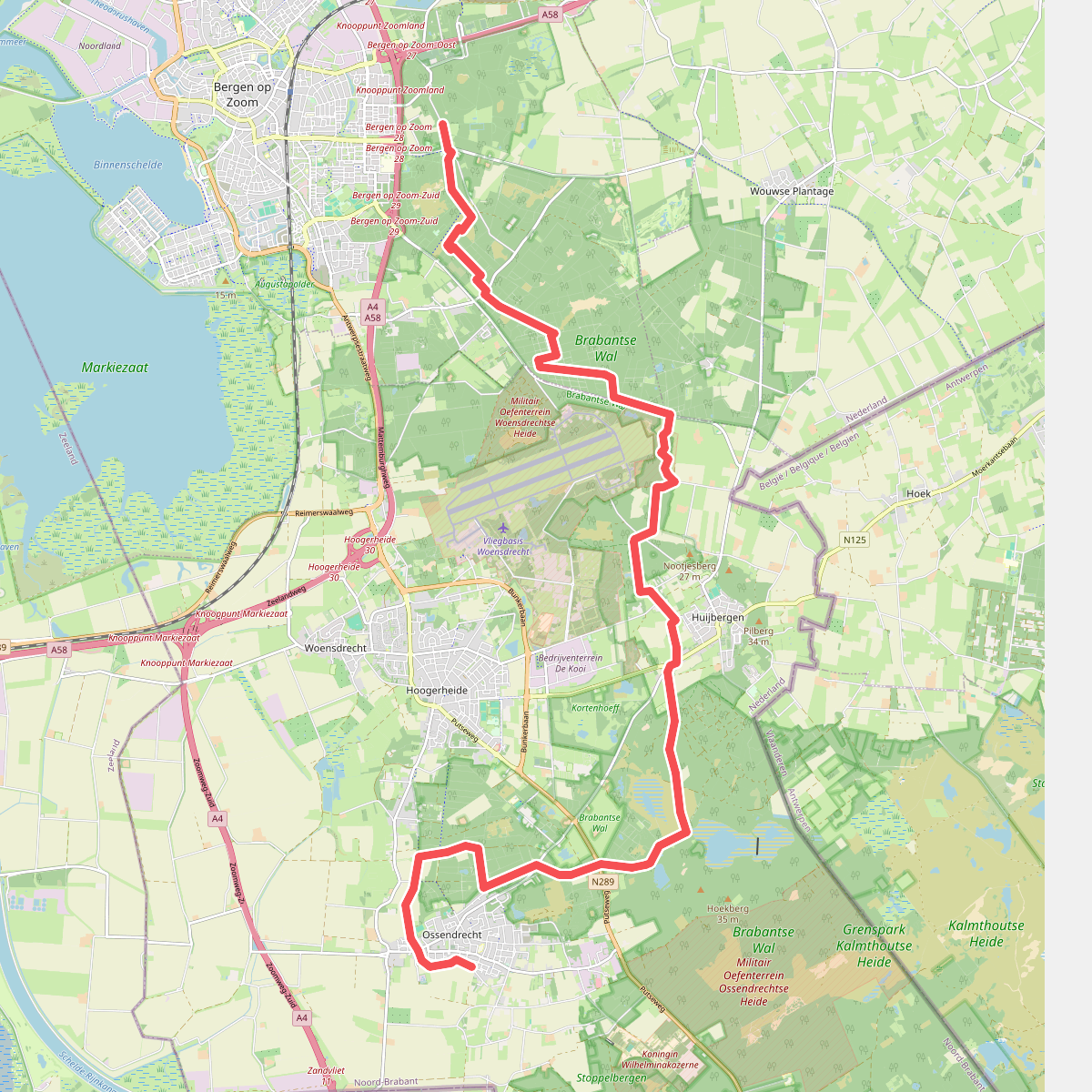
#5. Bergen op Zoom - Ossendrecht · GR12 Vlaanderen etappe 1
Bergen op Zoom,Wouwse Plantage,Huijbergen,Hoogerheide,Ossendrecht
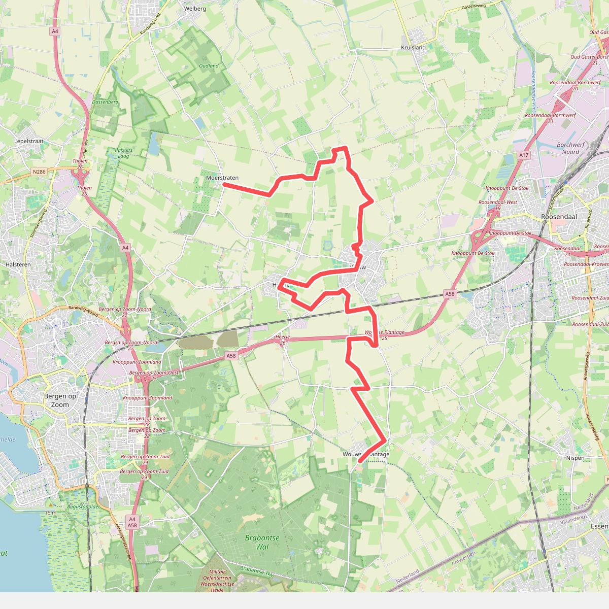
#6. Moerstraten - Wouwse Plantage · Brabantse Wal etappe 3
Wouwse Plantage,Wouw,Heerle,Moerstraten
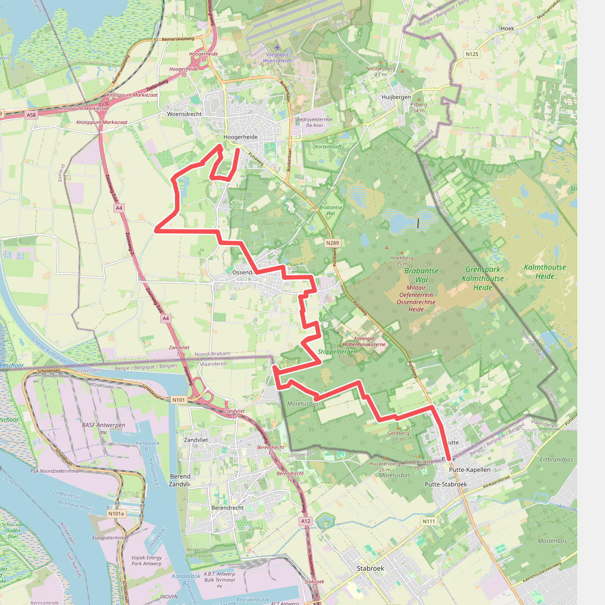
#7. Putte - Hoogerheide · Brabantse Wal etappe 5
Hoogerheide,Woensdrecht,Ossendrecht,Putte
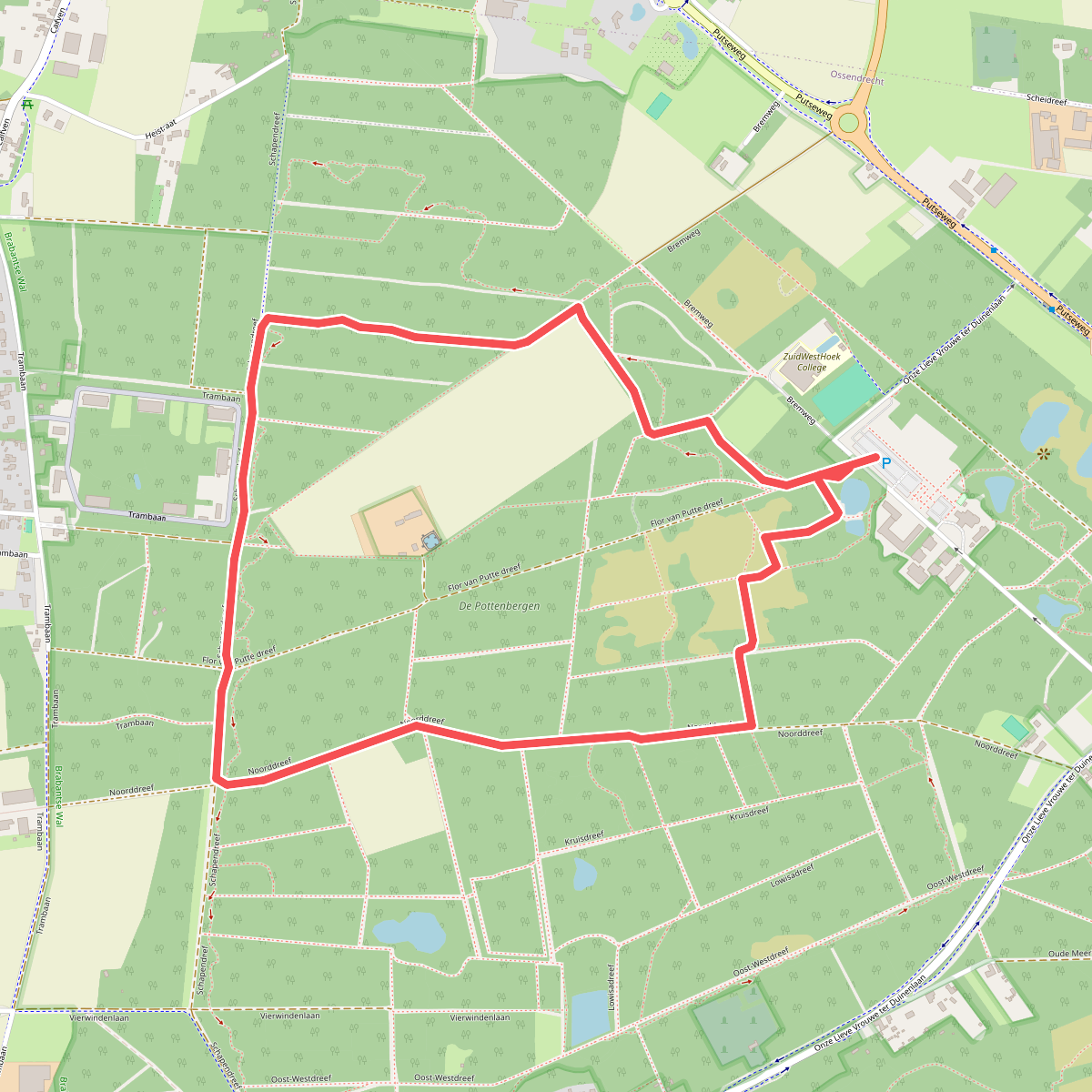
#8. Abdijbos
Ossendrecht
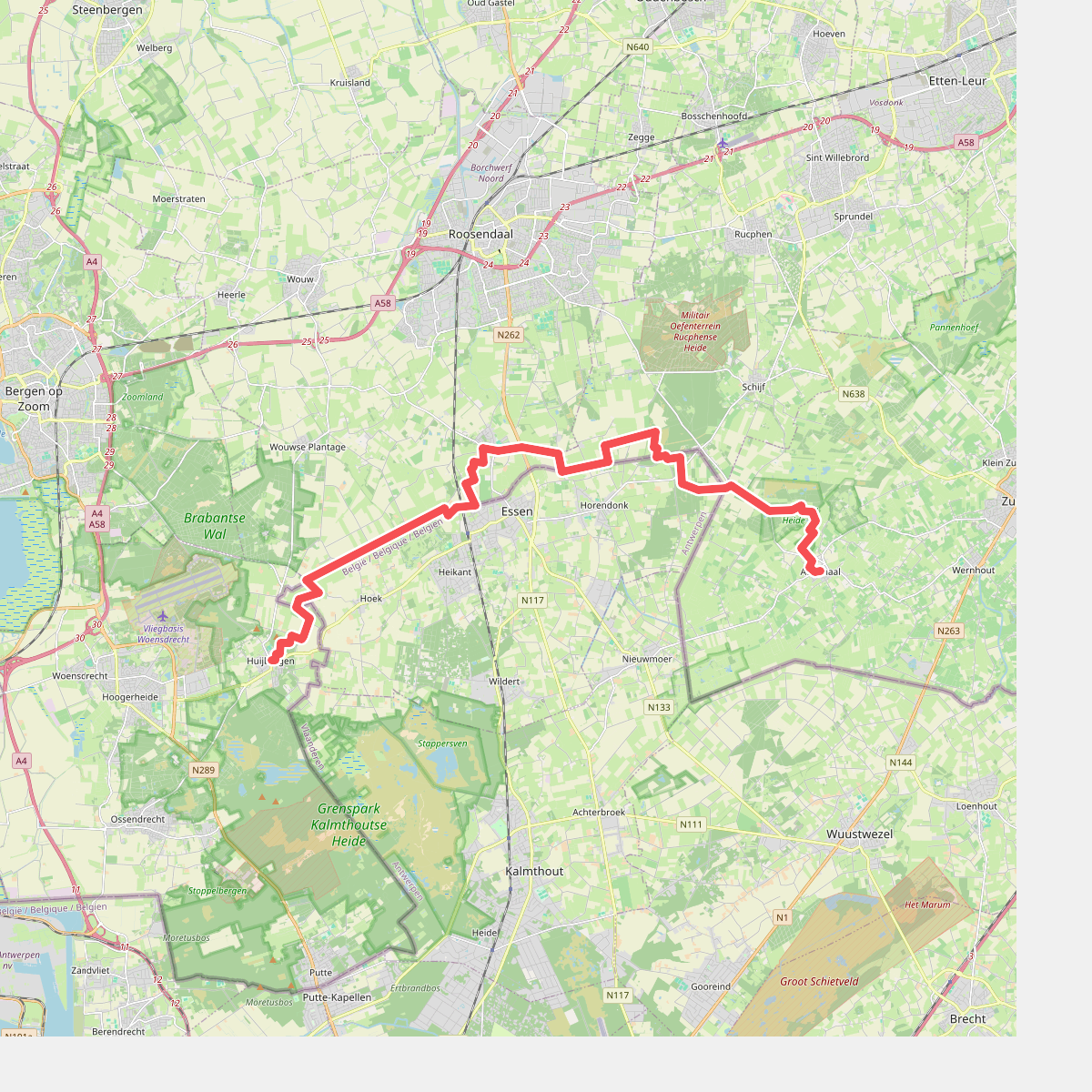
#9. Achtmaal naar Huijbergen - "Bunders en Turf" · NederRandpad etappe 49
Huijbergen,Wouwse Plantage,Nispen,Schijf,Achtmaal
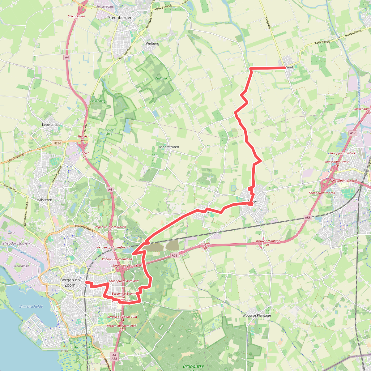
#10. Bergen op Zoom - Kruisland · Dwars door Brabant Etappe 1
Bergen op Zoom,Heerle,Wouw,Kruisland
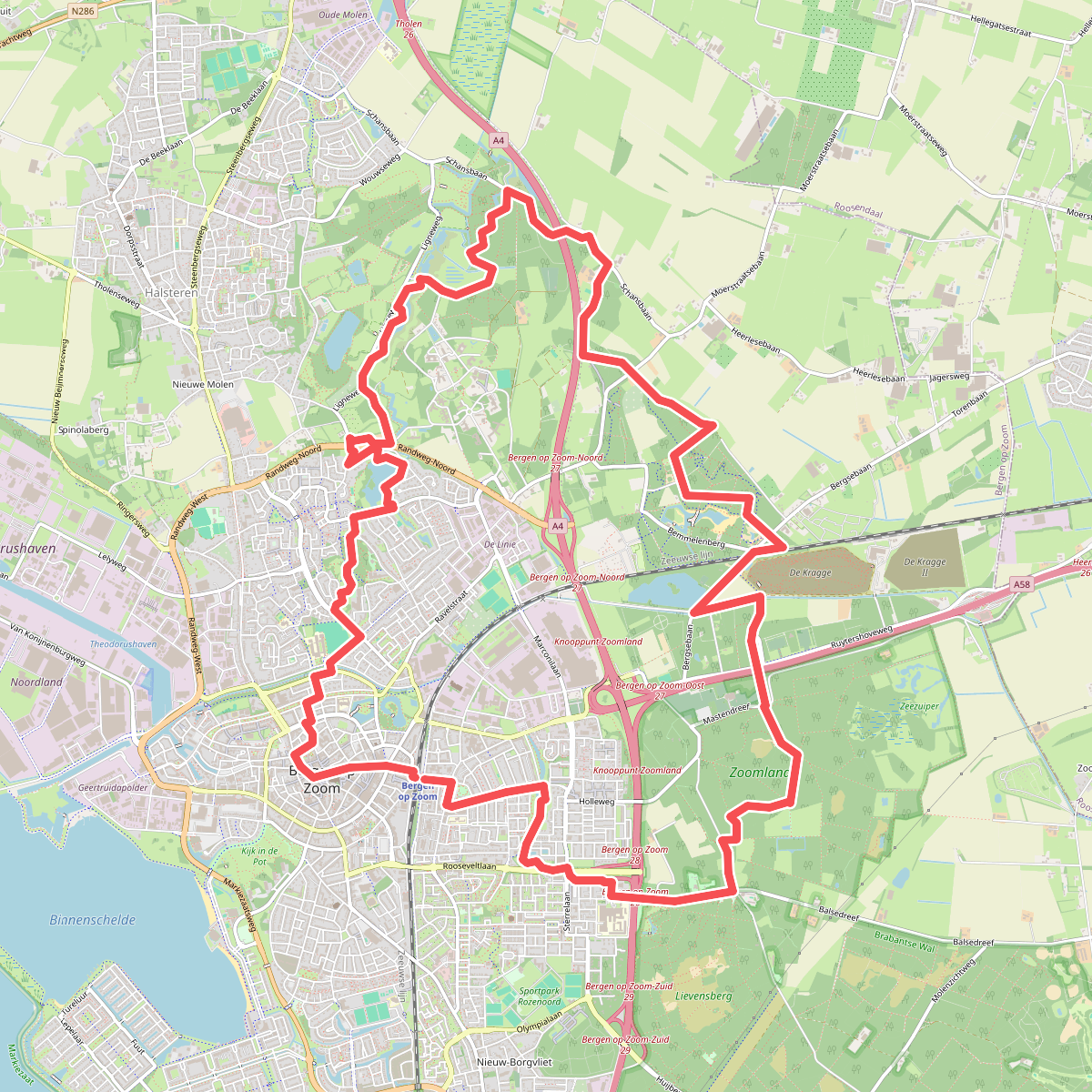
#11. Fort De Roovere
Bergen op Zoom,Halsteren
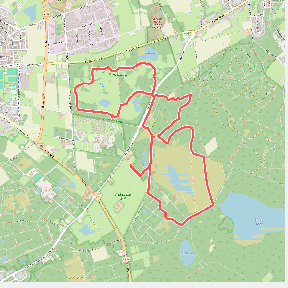
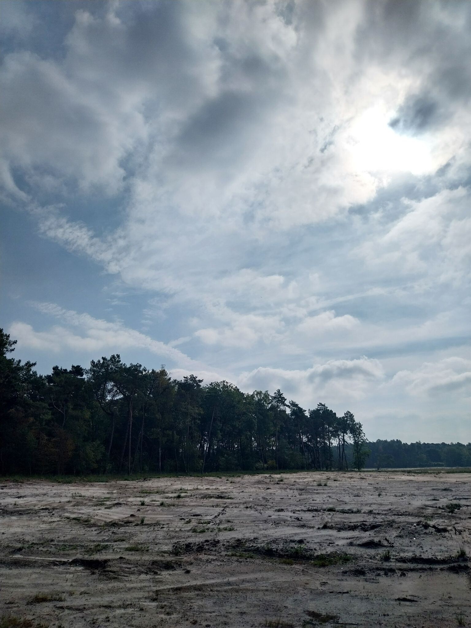
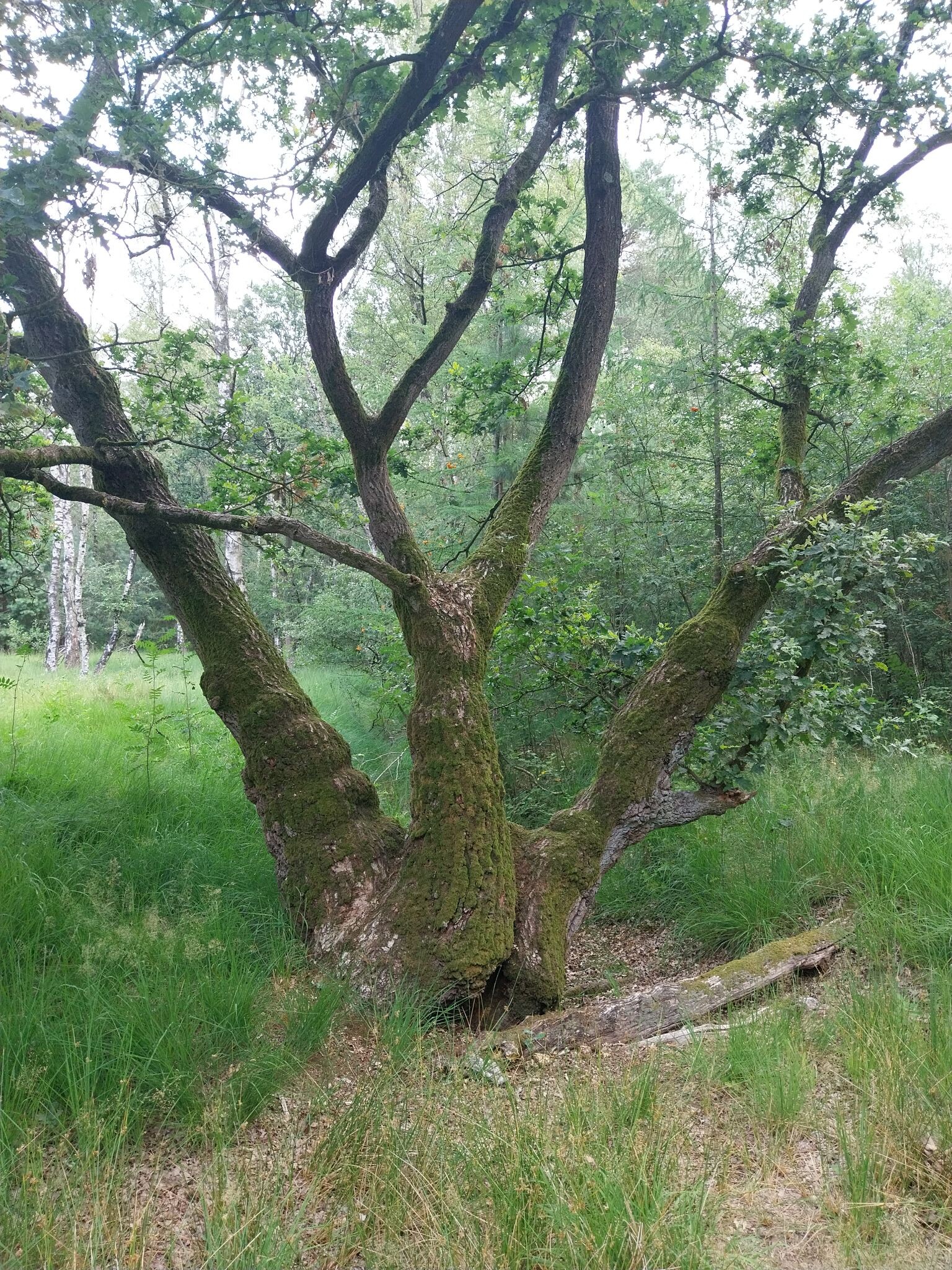
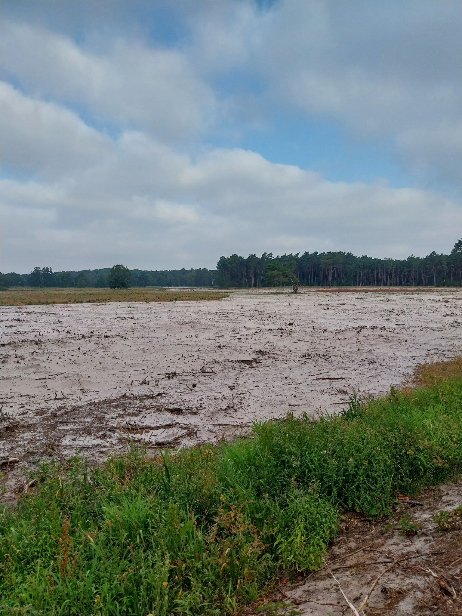
#12. Fuut en uil wandeling
Ossendrecht,Hoogerheide



