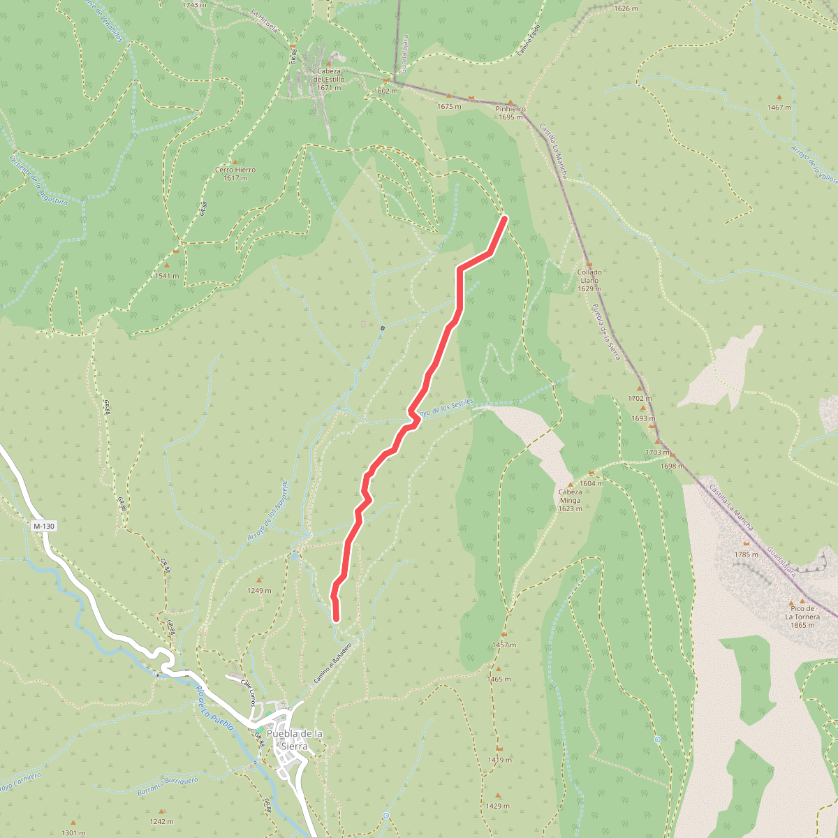
The best hiking routes in Community of Madrid
Discover the best walks in Community of Madrid. 120 routes on the map, with descriptions, photos and GPX.
About Community of Madrid
The Community of Madrid offers a stark contrast between granite highlands and rolling oak pastures. In the north, the Parque Nacional de la Sierra de Guadarrama dominates the horizon with its high-altitude terrain, where walkers encounter steep, rocky paths and scree underfoot. This is alpine territory, characterized by glacial features like those found in the Parque natural de la Cumbre, el Circo y las Lagunas de Peñalara, where the landscape is defined by bare rock, mountain tarns, and stunted pines. In these elevated zones, snow often covers the trails well into May.
Read more
About Community of Madrid
The Community of Madrid offers a stark contrast between granite highlands and rolling oak pastures. In the north, the Parque Nacional de la Sierra de Guadarrama dominates the horizon with its high-altitude terrain, where walkers encounter steep, rocky paths and scree underfoot. This is alpine territory, characterized by glacial features like those found in the Parque natural de la Cumbre, el Circo y las Lagunas de Peñalara, where the landscape is defined by bare rock, mountain tarns, and stunted pines. In these elevated zones, snow often covers the trails well into May.
Read moreThe Community of Madrid offers a stark contrast between granite highlands and rolling oak pastures. In the north, the Parque Nacional de la Sierra de Guadarrama dominates the horizon with its high-altitude terrain, where walkers encounter steep, rocky paths and scree underfoot. This is alpine territory, characterized by glacial features like those found in the Parque natural de la Cumbre, el Circo y las Lagunas de Peñalara, where the landscape is defined by bare rock, mountain tarns, and stunted pines. In these elevated zones, snow often covers the trails well into May.
For those seeking forested paths rather than exposed summits, the lower slopes present a different character. The Paraje pintoresco del Pinar de Abantos y Zona de La Herrería offers shaded walking through dense pine woods and historic groves, where the ground is softer, covered in pine needles and leaf litter. Similarly, the Sitio Natural de Interés Nacional Pinar de la Acebeda provides cool, canopy-covered routes along mountain streams. These forested areas lack the dramatic, jagged ridges of the high peaks but offer shelter and a more intimate woodland experience.
Closer to the metropolitan basin, the landscape flattens into vast, fenced oak pastures known as dehesas. In areas like the Monte de El Pardo and the ZEPA Soto de Viñuelas, the paths are wide, sandy tracks winding through scattered holm oaks. This is a managed, gently undulating landscape shaped by centuries of grazing, where the walking is physically easy but offers little shade during the hot summer months. It is an ideal alternative when the high passes of Guadarrama are blocked by winter weather.
Nature areas in Community of Madrid
Zoom or pan for more routes
Hiking routes in Community of Madrid (120)
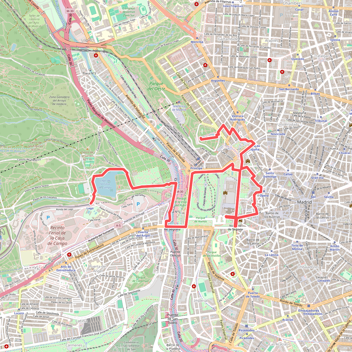
#1. Madrid Casa de Campo, Palacio Real & Plaza de España
Madrid
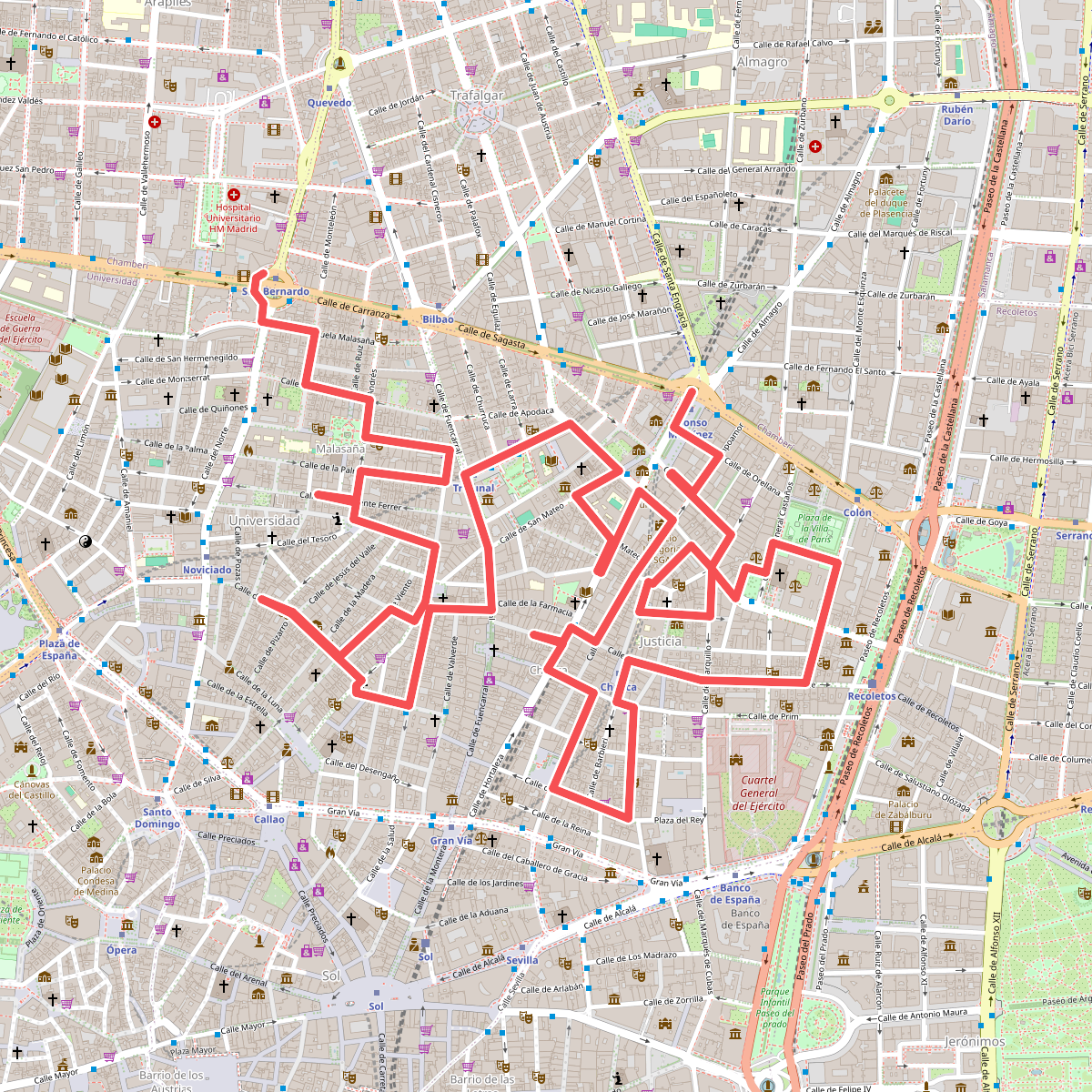
#2. Madrid Chueca & Malasaña
Madrid
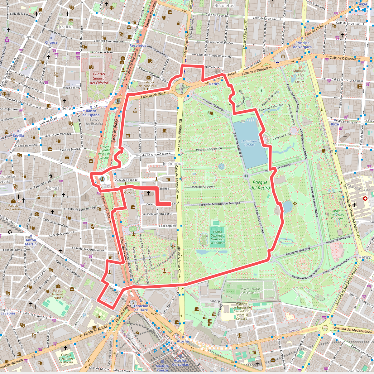
#3. Madrid Paseo del Prado & Retiro
Madrid
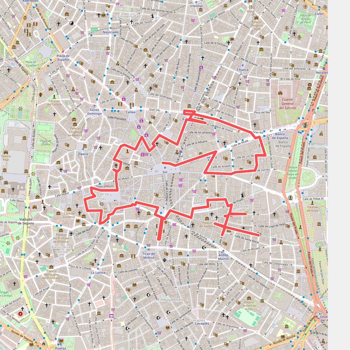
#4. Madrid Sol, Plaza Mayor & Huertas
Madrid
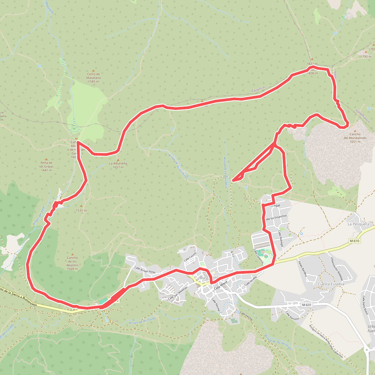
#5. Al Mondalindo por La Mina de Plata
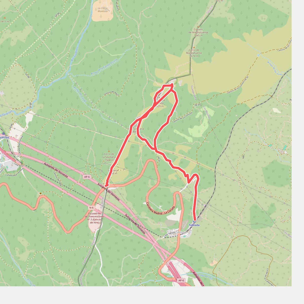
#6. Arcipreste de Hita
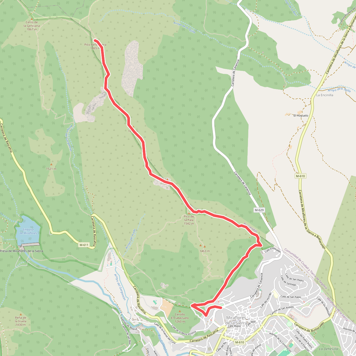
#7. Ascensión al Pico de la Pala – Perdiguera
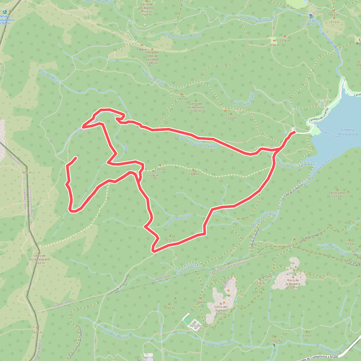
#8. Bosque plateado
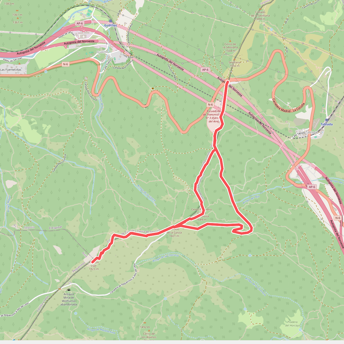
#9. Cabeza Líjar
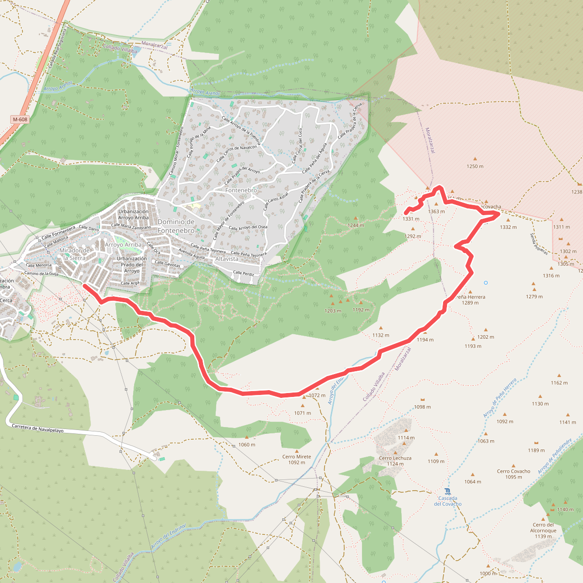
#10. Camino a la Peña del Águila y Canto Hastial
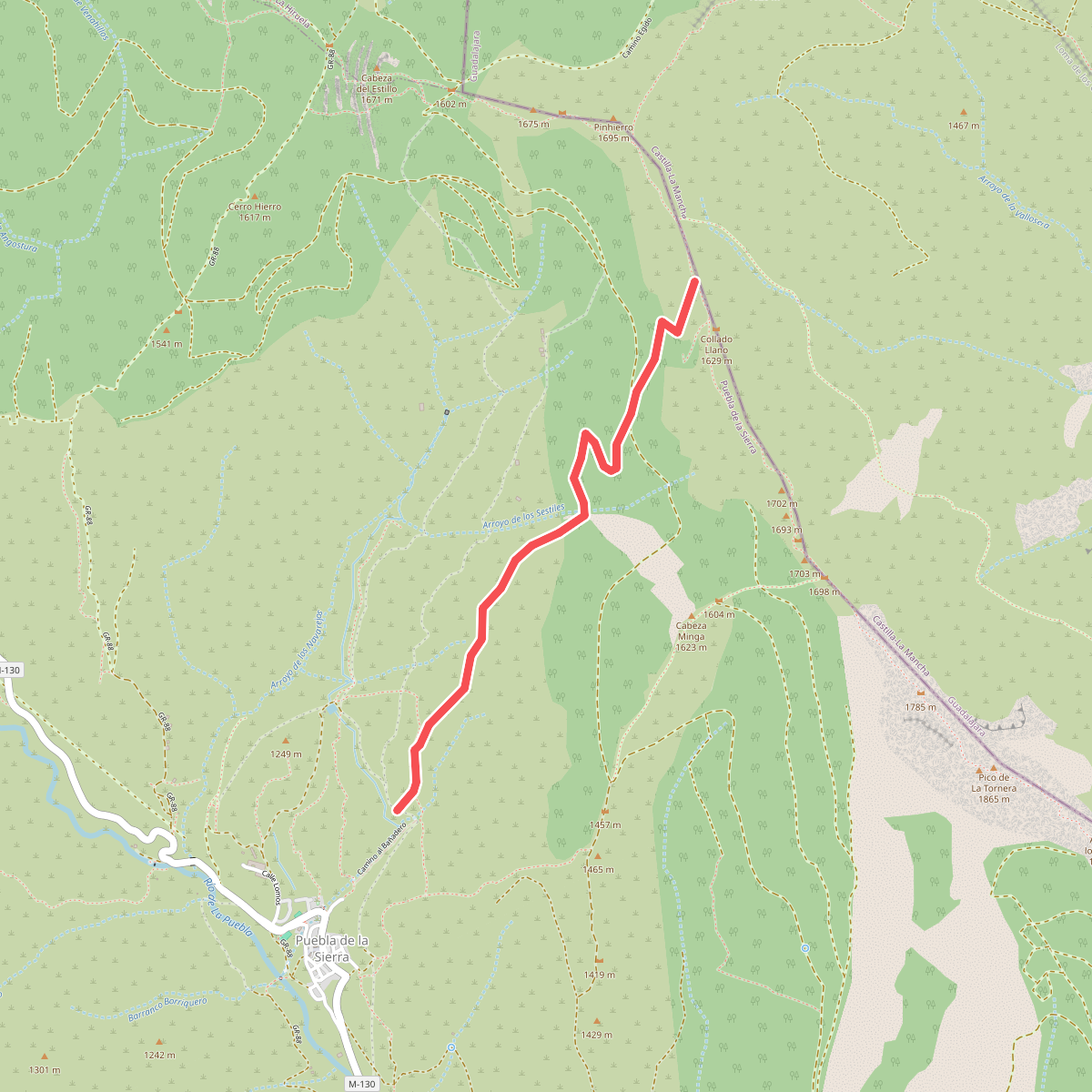
#11. Camino a Vihuela-Tamajón