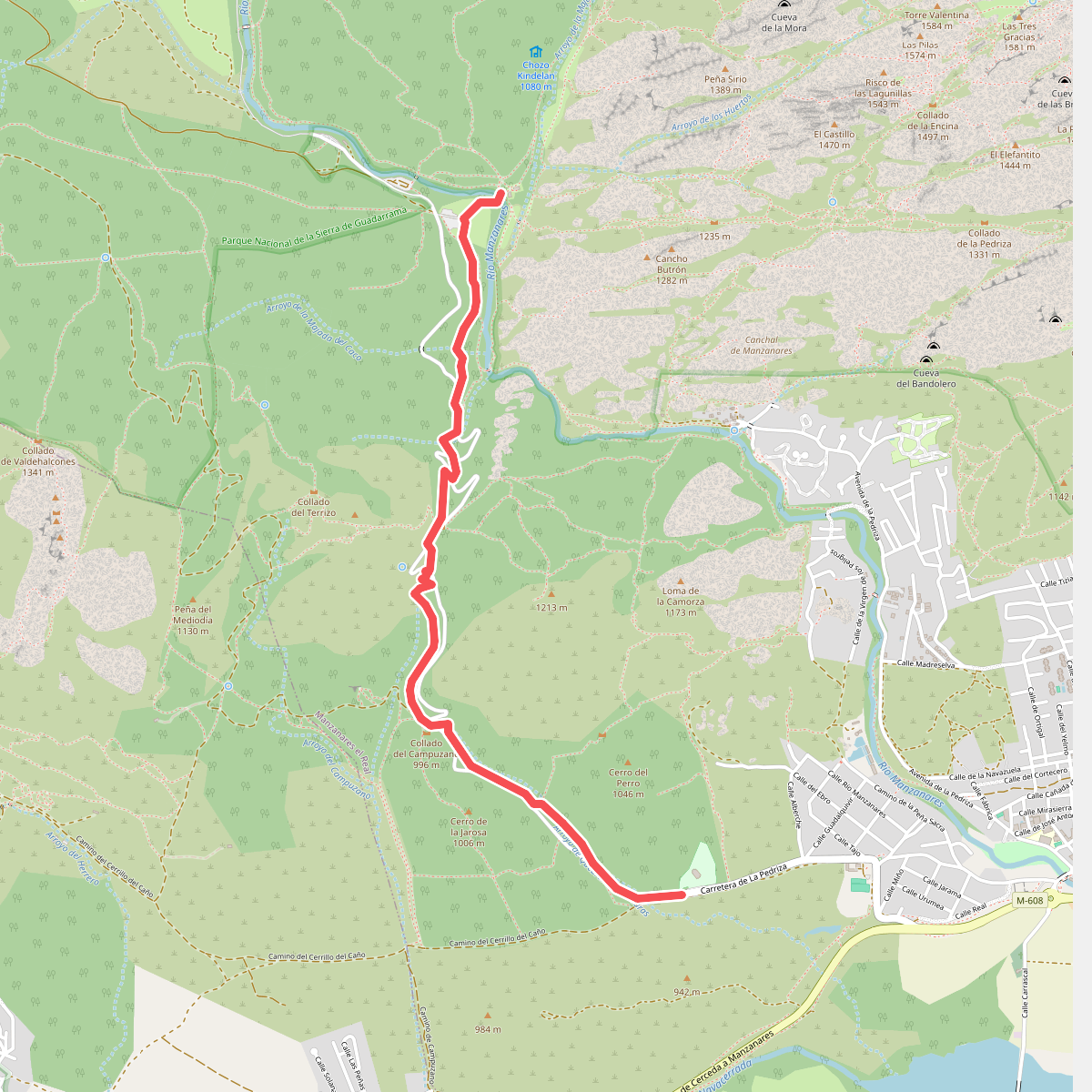
The best hiking routes in Parque Nacional de la Sierra de Guadarrama
Discover the best walks in Parque Nacional de la Sierra de Guadarrama. 43 routes on the map, with descriptions, photos and GPX.
Managed by Organismo Autónomo de Parques Nacionales
About Parque Nacional de la Sierra de Guadarrama
Parque Nacional de la Sierra de Guadarrama offers a distinct mountain landscape shaped by granite geology and high-altitude climate, contrasting sharply with the dry plains of central Spain. Walkers will find a terrain dominated by massive, rounded granite formations, high-altitude scree slopes, and extensive forests of Scots pine. The lower slopes feature dense oak woodlands, which transition into pine and eventually open alpine meadows and rocky ridges as you ascend.
Read more
About Parque Nacional de la Sierra de Guadarrama
Parque Nacional de la Sierra de Guadarrama offers a distinct mountain landscape shaped by granite geology and high-altitude climate, contrasting sharply with the dry plains of central Spain. Walkers will find a terrain dominated by massive, rounded granite formations, high-altitude scree slopes, and extensive forests of Scots pine. The lower slopes feature dense oak woodlands, which transition into pine and eventually open alpine meadows and rocky ridges as you ascend.
Read moreParque Nacional de la Sierra de Guadarrama offers a distinct mountain landscape shaped by granite geology and high-altitude climate, contrasting sharply with the dry plains of central Spain. Walkers will find a terrain dominated by massive, rounded granite formations, high-altitude scree slopes, and extensive forests of Scots pine. The lower slopes feature dense oak woodlands, which transition into pine and eventually open alpine meadows and rocky ridges as you ascend.
Underfoot, the paths vary from wide, dirt forestry tracks in the lower valleys to rough, stony trails and granite slabs at higher elevations. The Peñalara massif, the highest sector of the park, features glacial lagoons and cirques where the terrain is particularly rocky and requires careful stepping. Unlike softer limestone ranges, this granite landscape means paths are firm but often uneven, with exposed tree roots in the forests and loose scree on the steeper passes.
Water is a constant feature in the valleys, where clear streams cut through the pine forests, though the high ridges become dry and exposed. In May and June, the melting snow feeds these streams and fills the glacial pools, while the high broom shrubs cover the slopes in yellow flowers. The park is easily accessible from Madrid, meaning the main trailheads around Puerto de Navacerrada and Cotos are often busy, but quieter walking can be found by choosing longer approaches from the valley floors.
Hiking routes in Parque Nacional de la Sierra de Guadarrama (43)
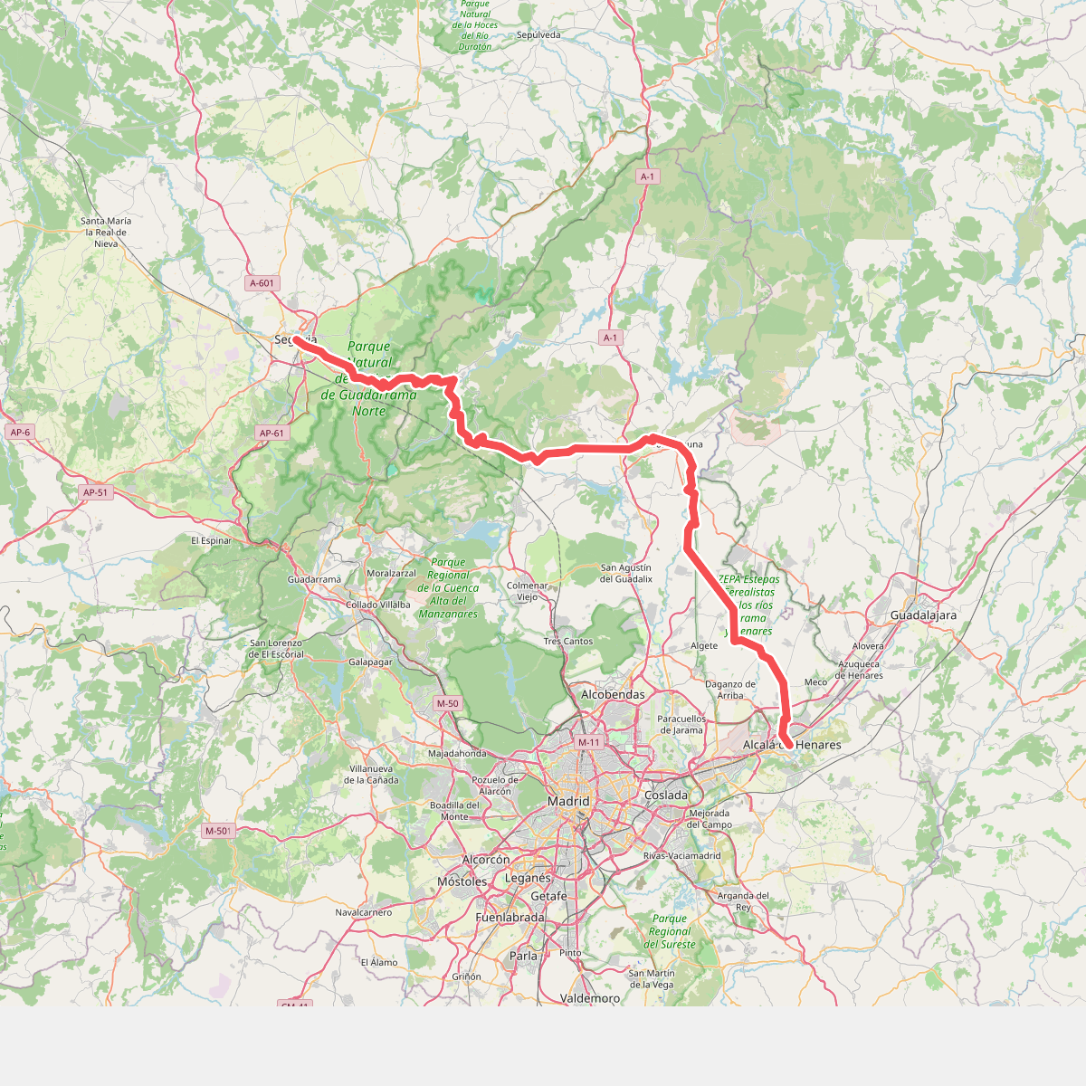
#1. Camino de Santiago Complutense
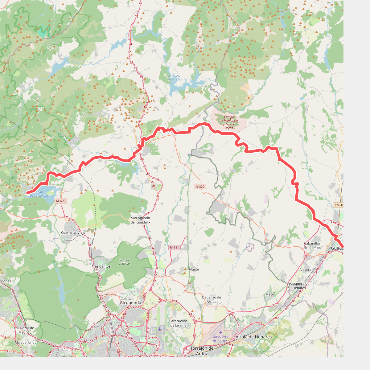
#2. Camino Mendocino
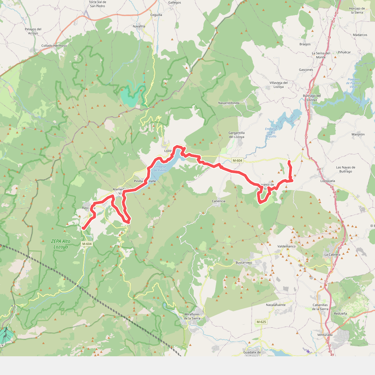
#3. Camino Natural del Valle del Lozoya
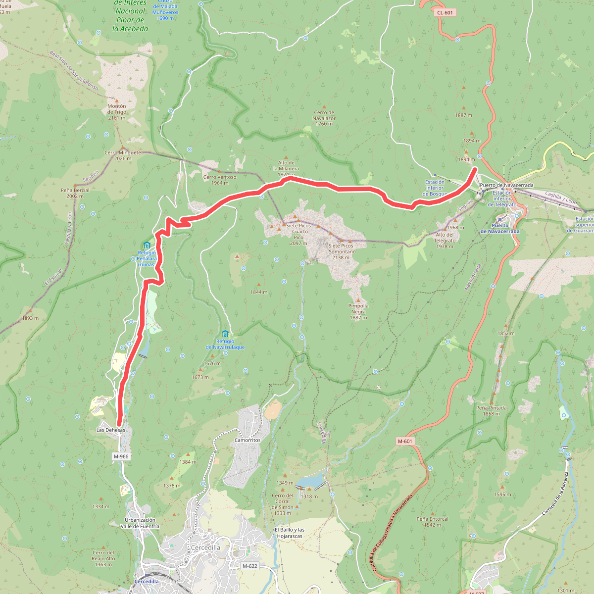
#4. Camino Schmidt
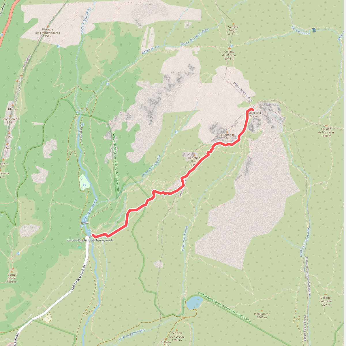
#5. Camino Sur de la Maliciosa
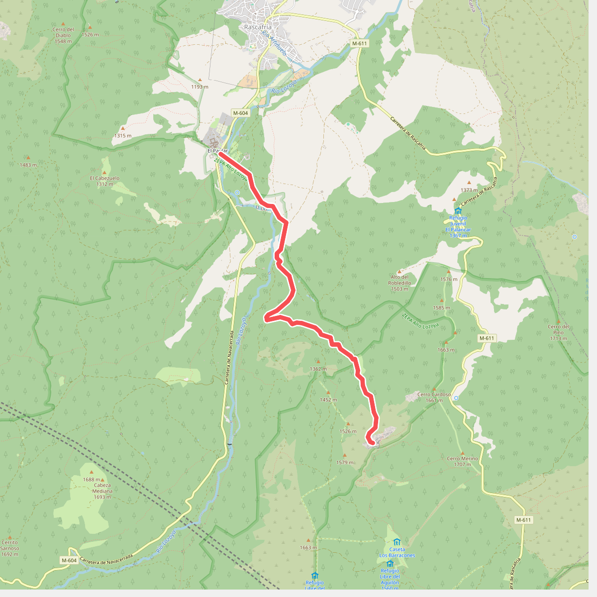
#6. Cascadas del Purgatorio
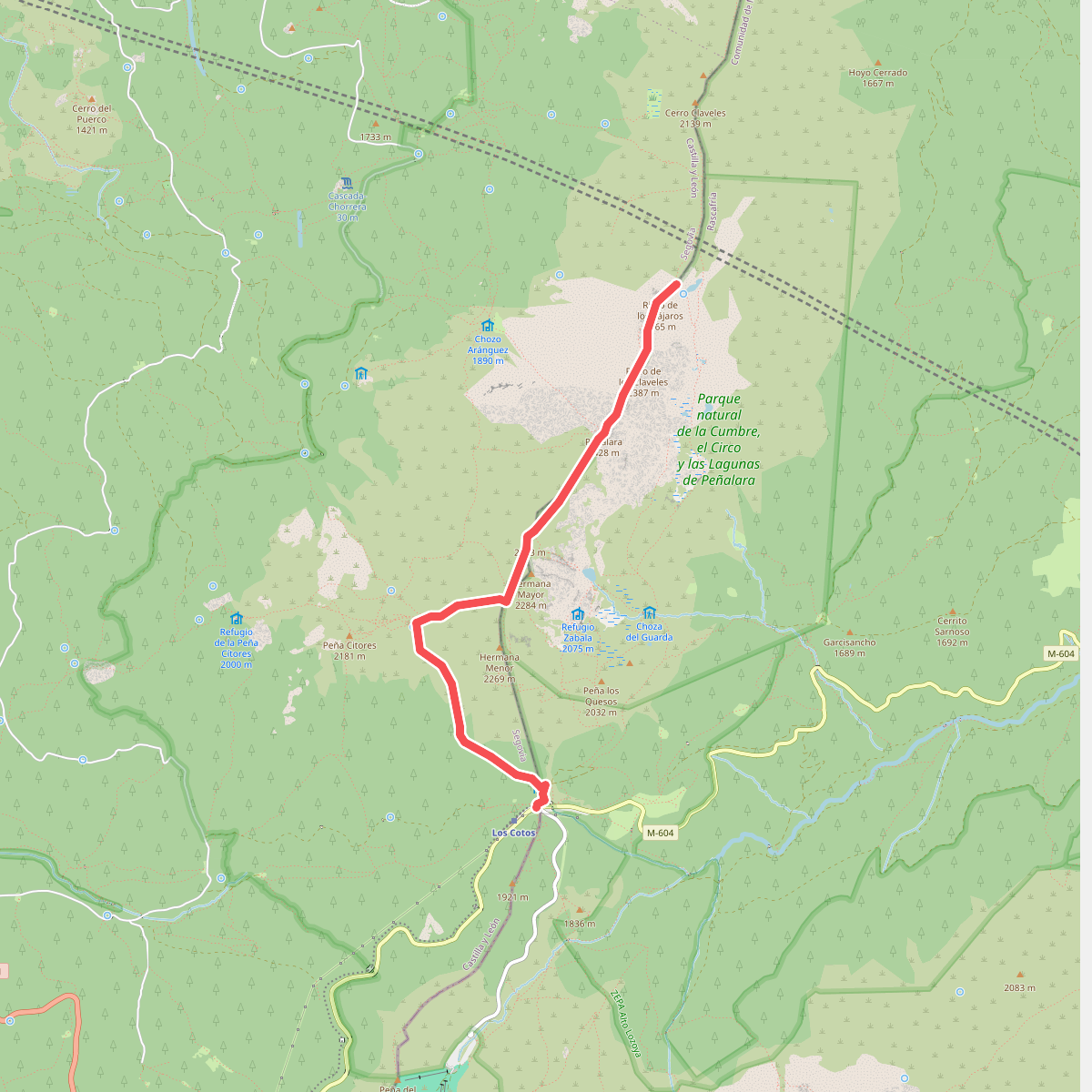
#7. Circuito Peñalara
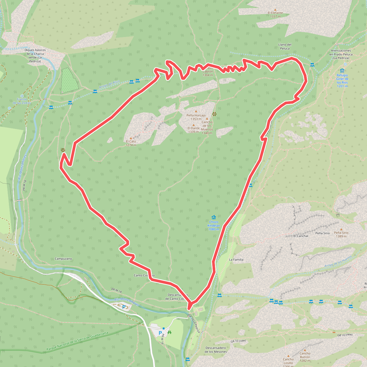
#8. Circular Collado Cabrón
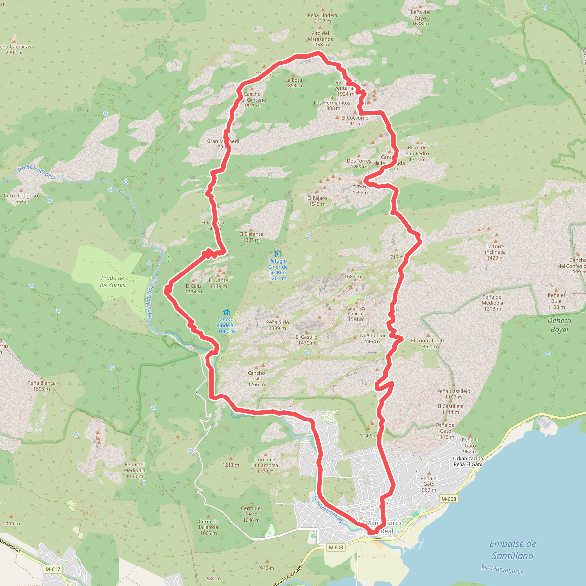
#9. Circular de la Pedriza
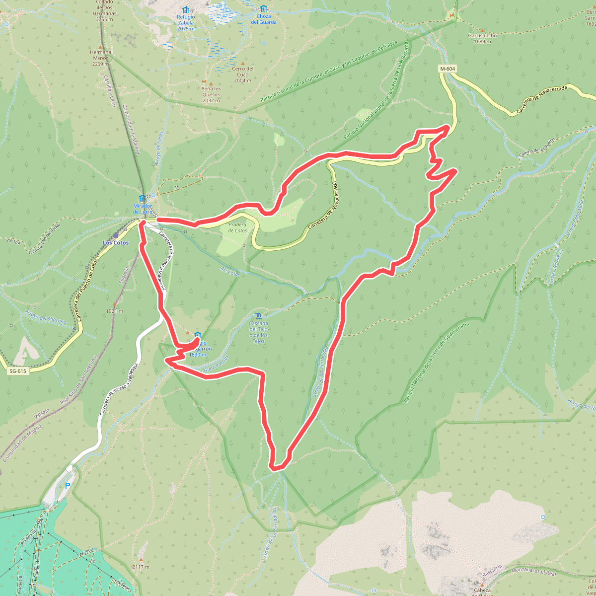
#10. Circular Pingarrón - Camino las Vueltas
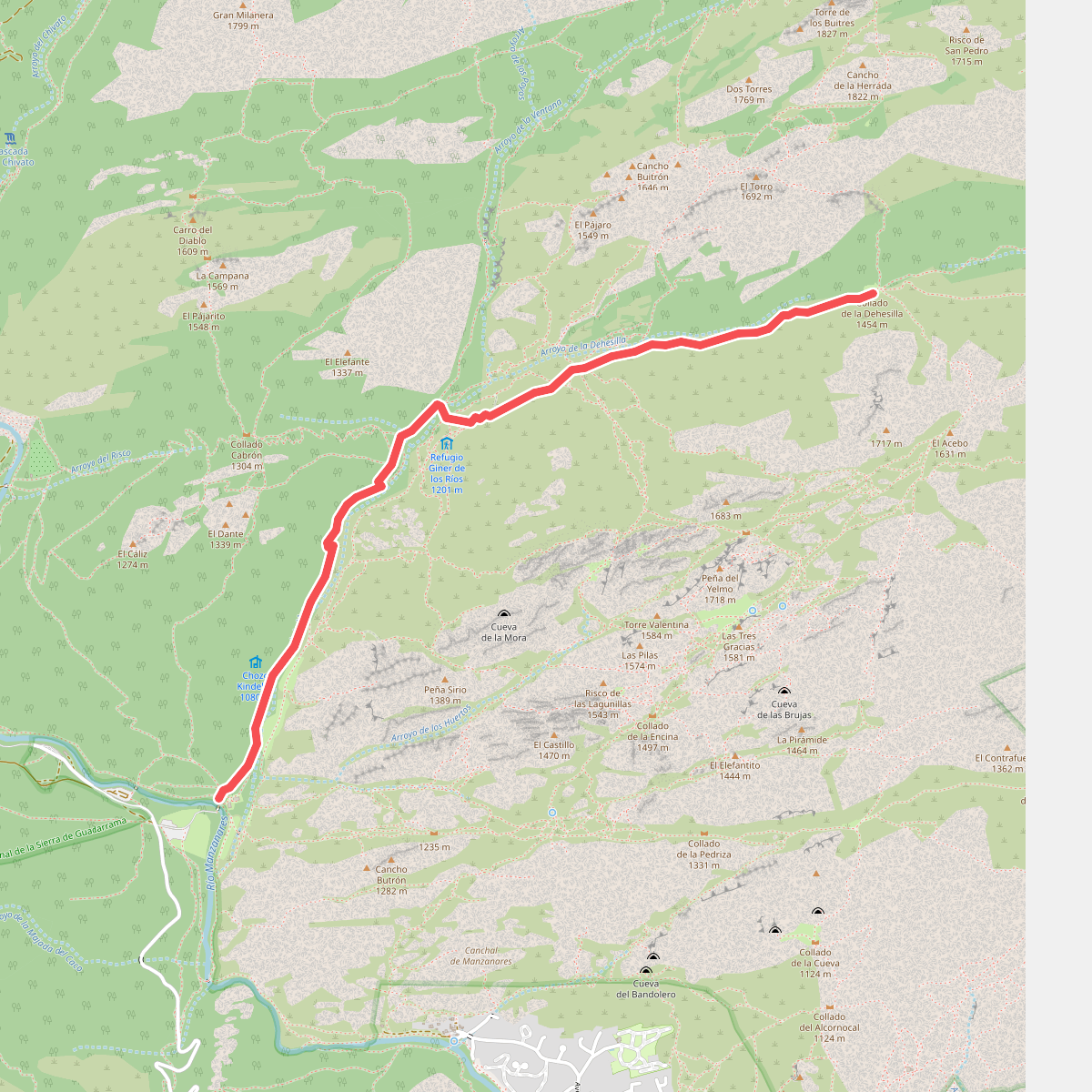
#11. Collado de la Dehesilla