Welcome! May we use cookies?

We use cookies to make the website work properly and to understand how you use our site. This helps us keep improving.

More information

Cookievoorkeuren

Functional cookies Required

Required for the website to function properly, such as remembering your login and preferences.

Analytical cookies

Help us understand how visitors use the website, so we can improve it. We use Google Analytics for this.

Media cookies

Allow you to view videos and other media from external services like YouTube.

5.0

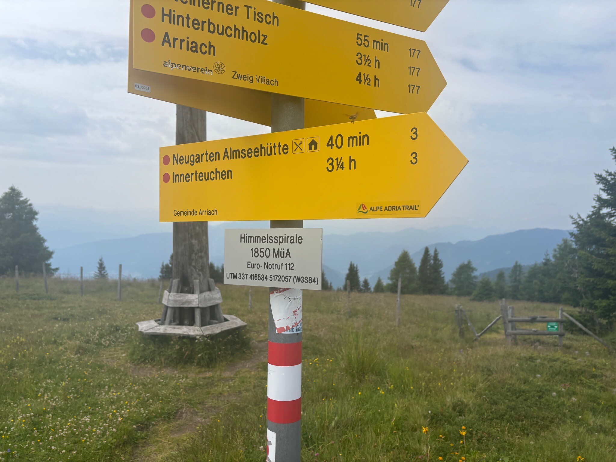
Gerlitzen Gipfel - Almseehutte

1,8 km
48.5m
272.5m
0u 23m

Places

Route properties

Surface
1.9% paved · 98.1% unpaved
Last updated Irina · 14 Jul 2026

Surface distribution

Unpaved 81,9% (1,5 km)
Natural 14,3% (257 m)
Gravel 3,8% (68 m)

Elevation profile

Min:
Max:
Compare routes

Reviews

5.0 (1)
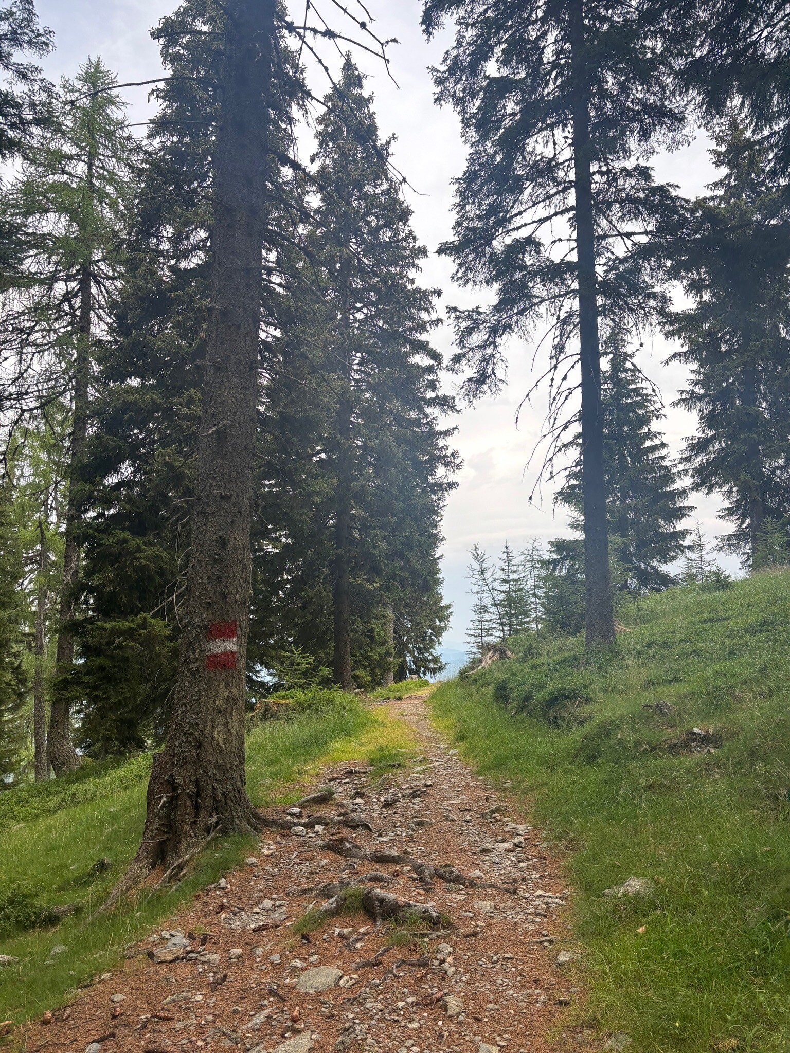
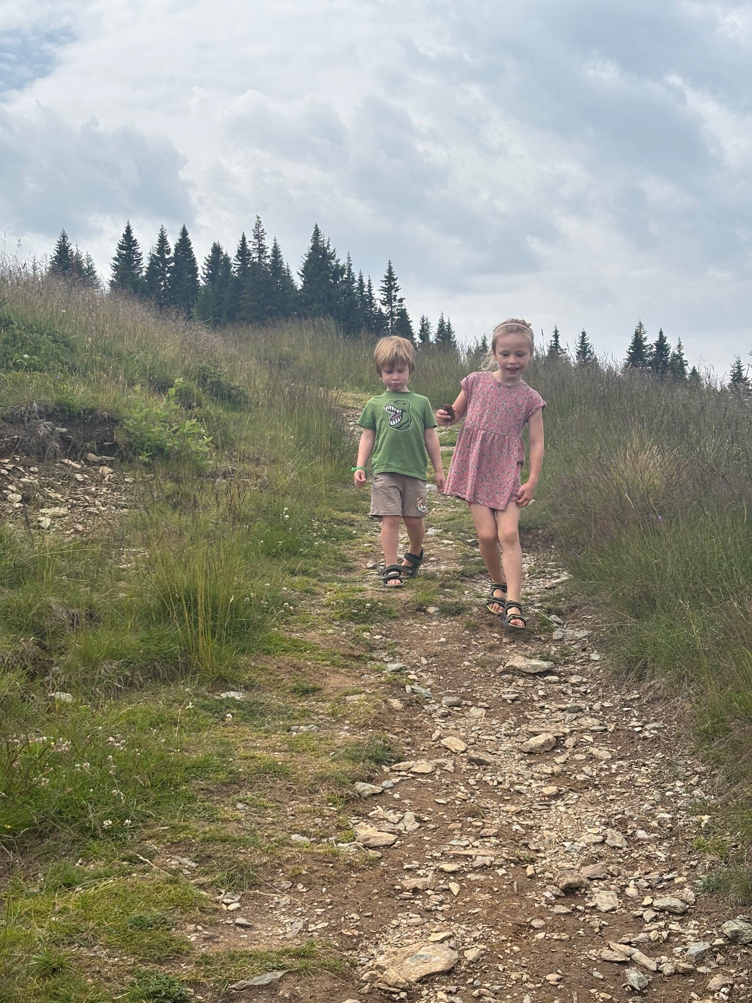
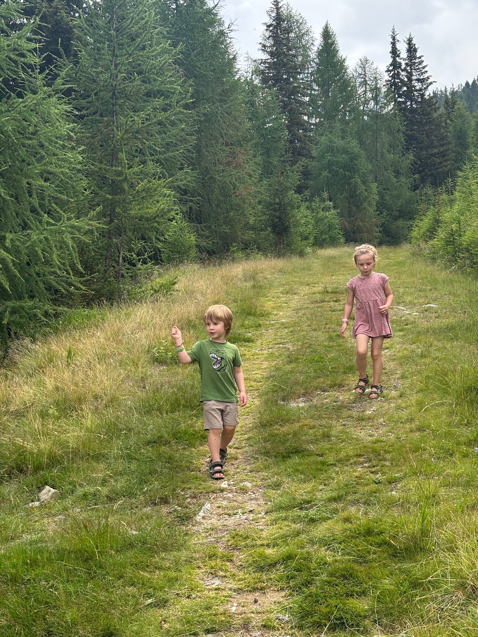
Heerlijke rustige tocht naar beneden door veld en bos. In ong 30-40 min goed te doen. Met 2 kinderen van 3 en 4 jaar oud gelopen zonder problemen. Bij de Almseehutte een prachtige waterspeeltuin
WandelWeb Complete

Want to download or navigate this route?

Complete lets you download every route as GPX and navigate with spoken directions along the way.


  • Free trial
  • Never unexpectedly without Complete
  • Cancel whenever you want