

The best hiking routes in East Flanders
Discover the best walks in East Flanders. 299 routes on the map, with descriptions, photos and GPX.
About East Flanders
East Flanders offers two distinct walking landscapes divided by its river system. In the flat north and east, the Nationaal Park Scheldevallei dominates the terrain with tidal rivers, wet alluvial forests, and old polder clay underfoot. Walking here means following grassy dikes and towpaths where the water level rises and falls daily with the North Sea tides, exposing mudflats that attract thousands of waterfowl in November. It is a landscape of wide river bends, willow trees, and damp meadows, entirely flat and shaped by centuries of flood protection.
Read more
About East Flanders
East Flanders offers two distinct walking landscapes divided by its river system. In the flat north and east, the Nationaal Park Scheldevallei dominates the terrain with tidal rivers, wet alluvial forests, and old polder clay underfoot. Walking here means following grassy dikes and towpaths where the water level rises and falls daily with the North Sea tides, exposing mudflats that attract thousands of waterfowl in November. It is a landscape of wide river bends, willow trees, and damp meadows, entirely flat and shaped by centuries of flood protection.
Read moreEast Flanders offers two distinct walking landscapes divided by its river system. In the flat north and east, the Nationaal Park Scheldevallei dominates the terrain with tidal rivers, wet alluvial forests, and old polder clay underfoot. Walking here means following grassy dikes and towpaths where the water level rises and falls daily with the North Sea tides, exposing mudflats that attract thousands of waterfowl in November. It is a landscape of wide river bends, willow trees, and damp meadows, entirely flat and shaped by centuries of flood protection.
By contrast, the south of the province rises into the Flemish Ardennes, a region of steep, cobblestone climbs and dense beech woods. Instead of the wide river dikes of the Scheldevallei, the paths here are often sunken dirt tracks cut into sandy-clay hillsides that can become slick after rain. The views open up over rolling farmland, small orchards, and church spires in the valleys rather than tidal marshes.
This is not a region of deep wilderness or high mountain peaks, as farms and small villages are always nearby. The well-known hilltops in the south and the paved riverfront promenades near towns can be busy on weekends, while the grassy dikes along the quieter bends of the Scheldevallei offer more solitude. Choosing where to walk comes down to a choice between the steady, flat pace of the tidal riverbanks or the short, sharp climbs of the southern hills.
Nature areas in East Flanders
Zoom or pan for more routes
Hiking routes in East Flanders (299)
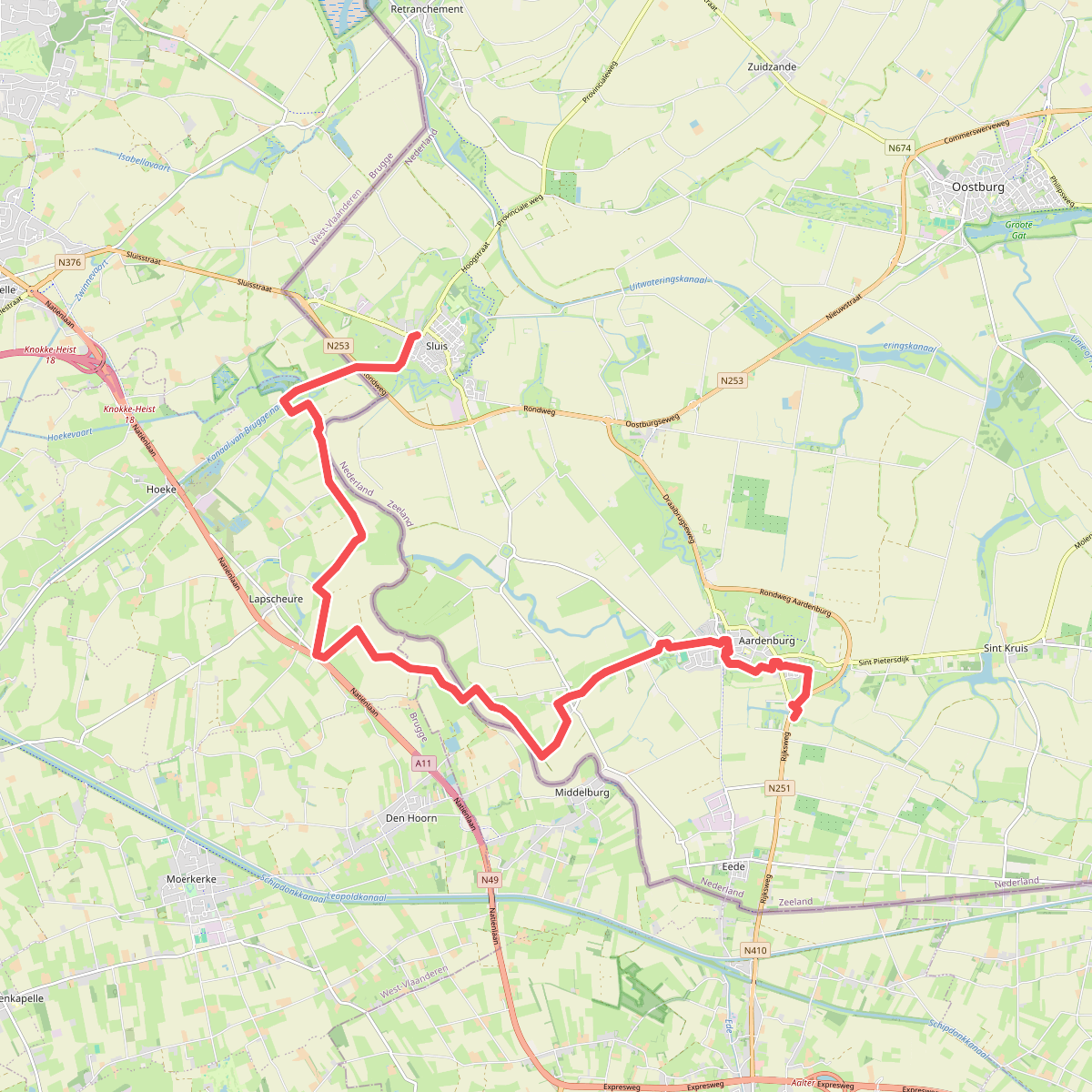
#1. Sluis - Eede · Grenslandpad etappe 1
Aardenburg,Sluis
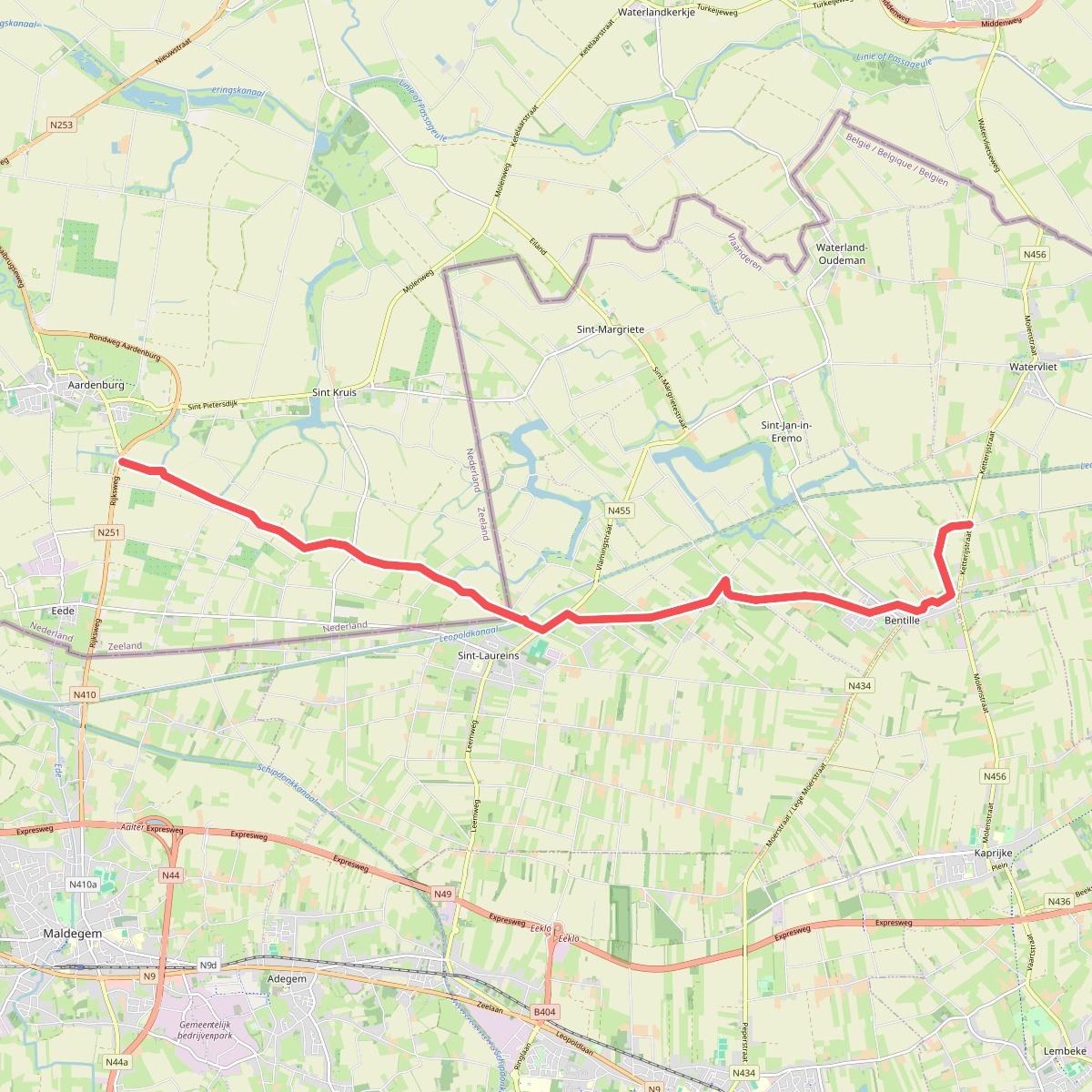
#2. Eede - N456 · Grenslandpad etappe 2
Eede,Sint Kruis,Aardenburg
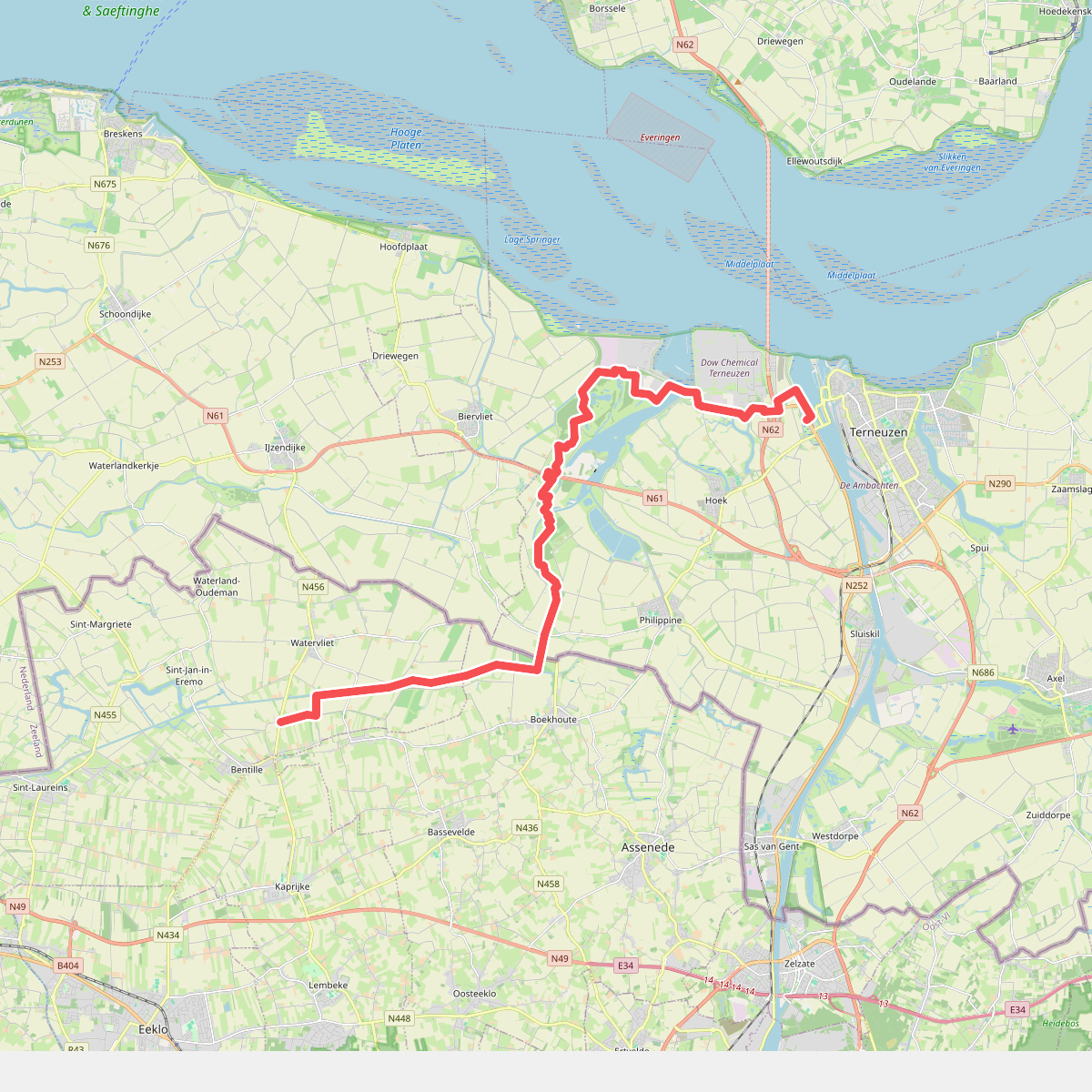
#3. N456 - Westerscheldetunnel (Zeeuws Vlaanderen) · Grenslandpad etappe 3
Terneuzen,Hoek,Biervliet,Philippine
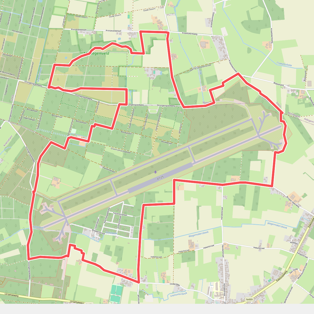
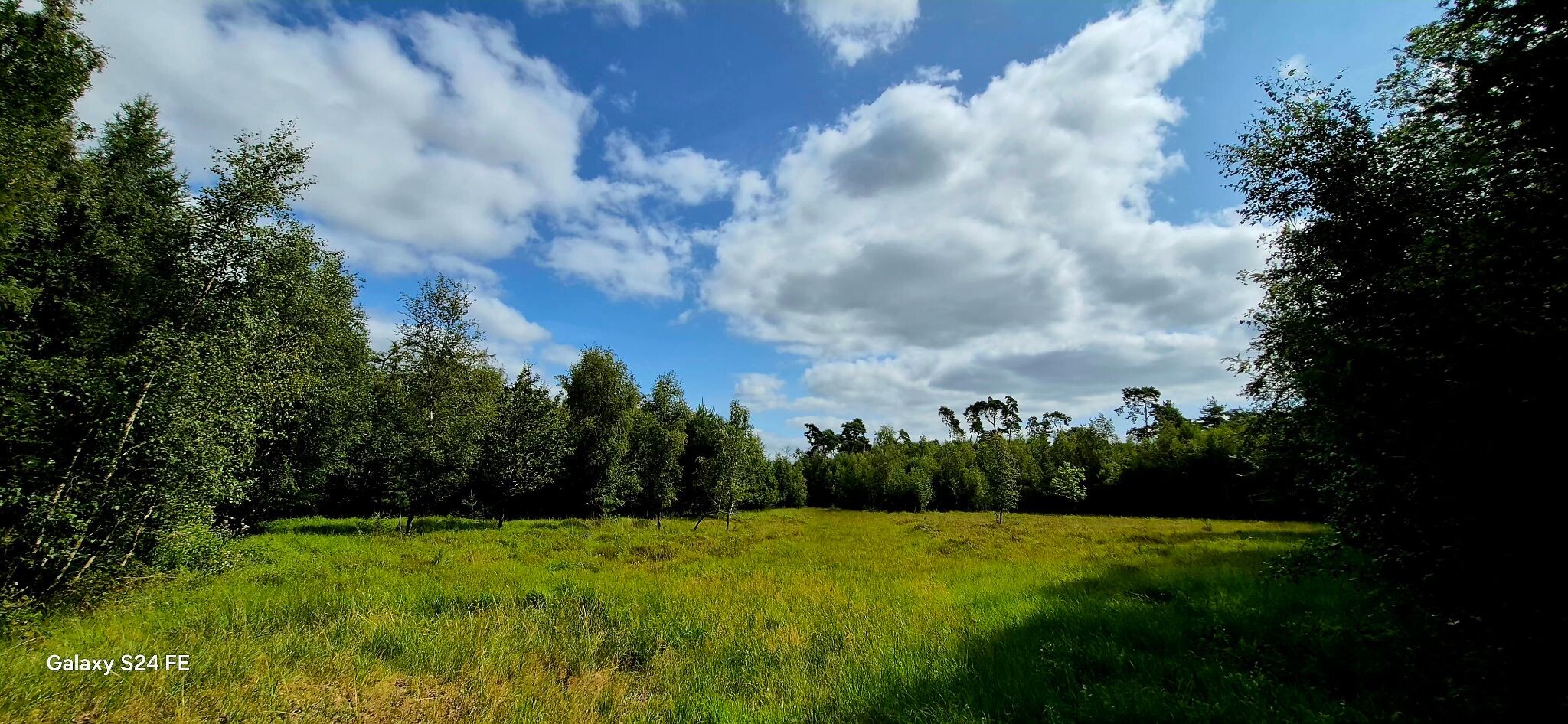
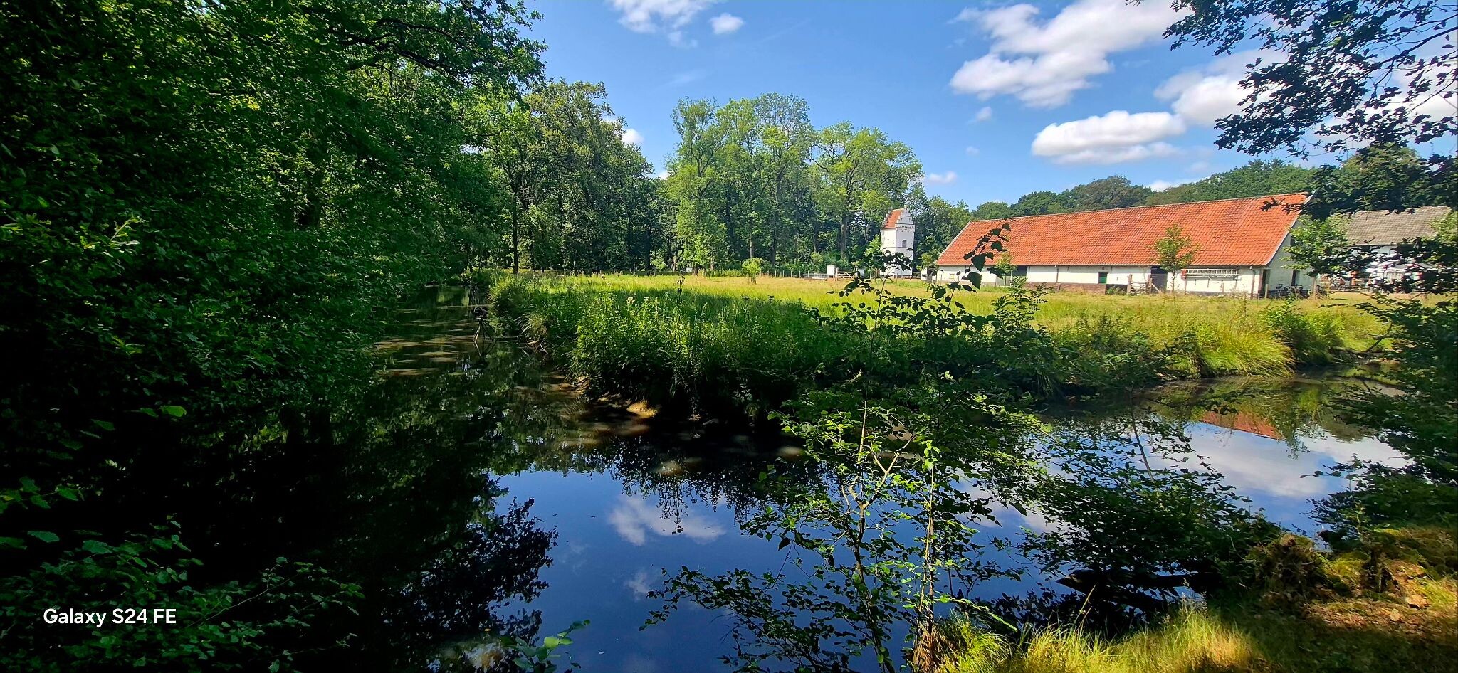
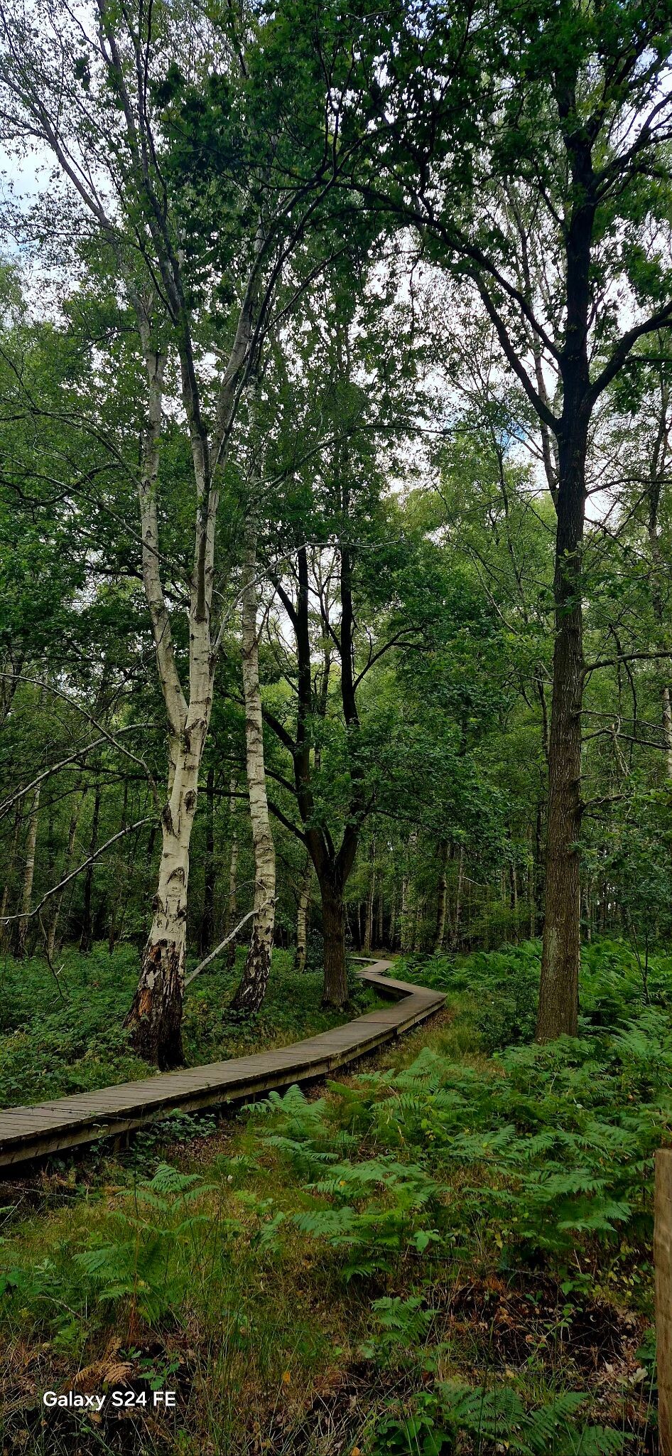
#4. Drongengoedbos wandelroute
Aalter,Maldegem
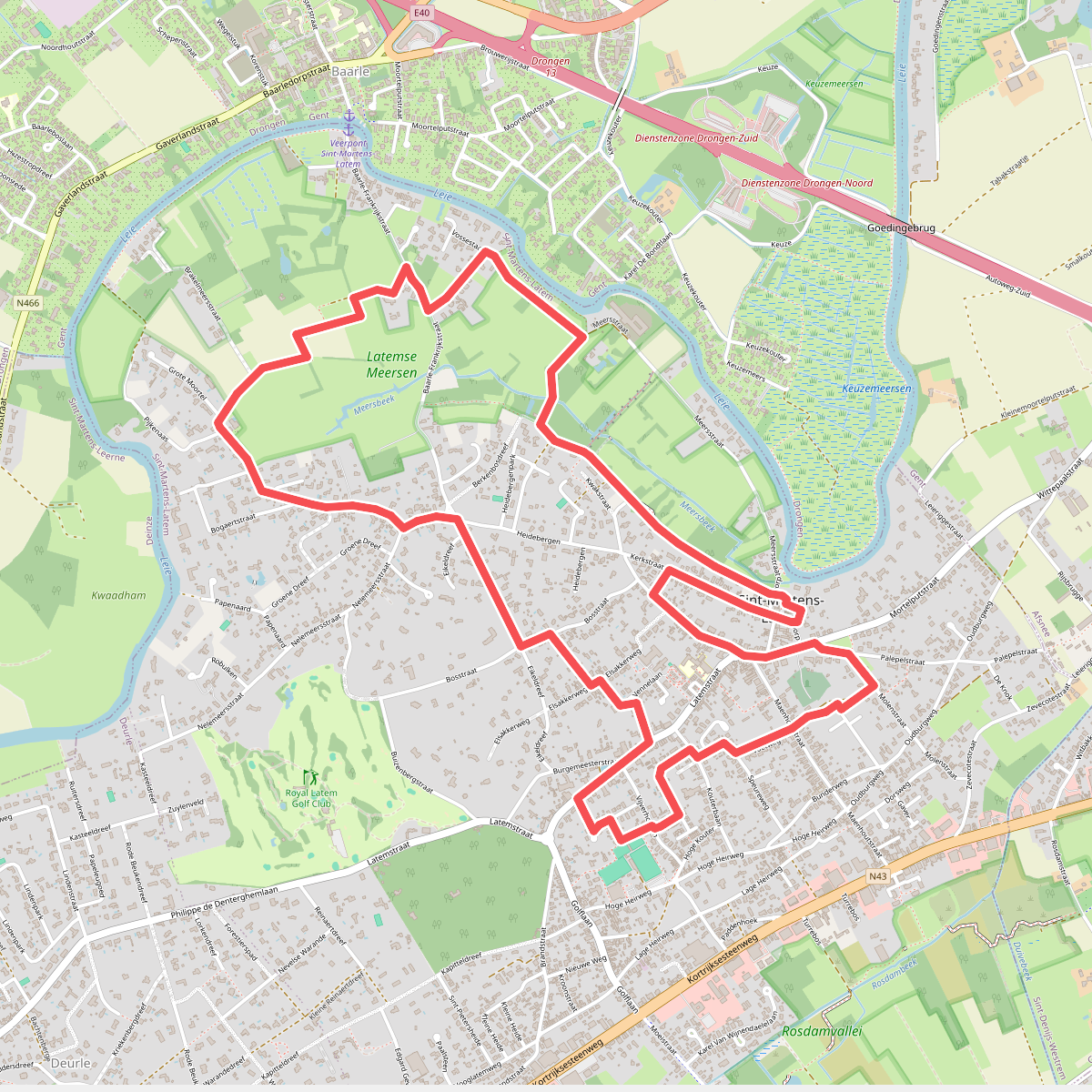
#5. Albijn Van Den Abeele Wandelroute
Sint-Martens-Latem
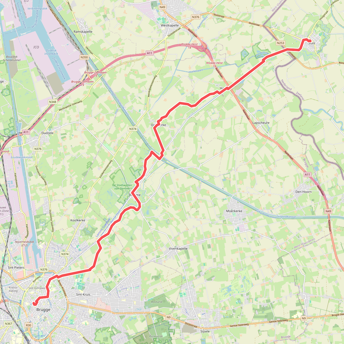
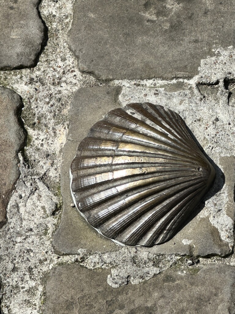
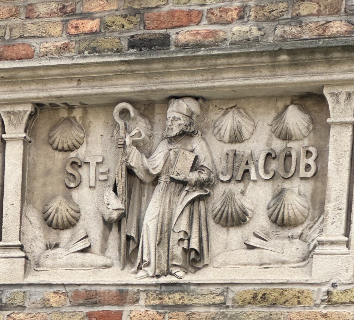
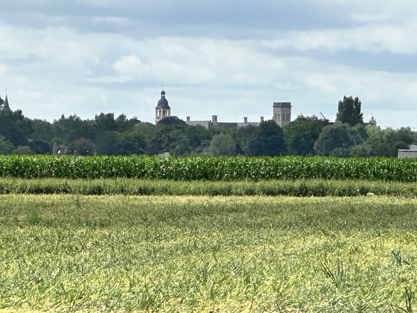
#6. Sluis - Brugge · Jacobsweg Die Haghe etappe 10
Sluis
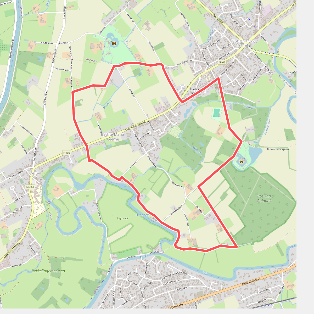
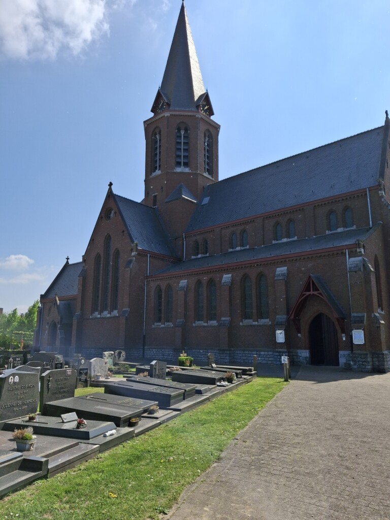
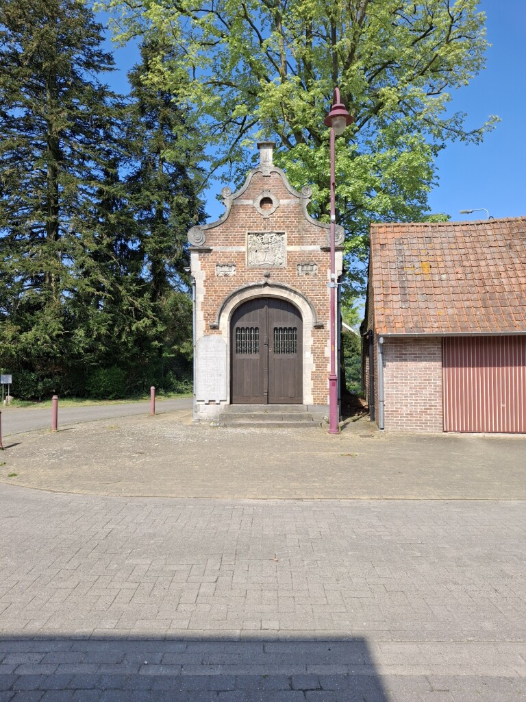
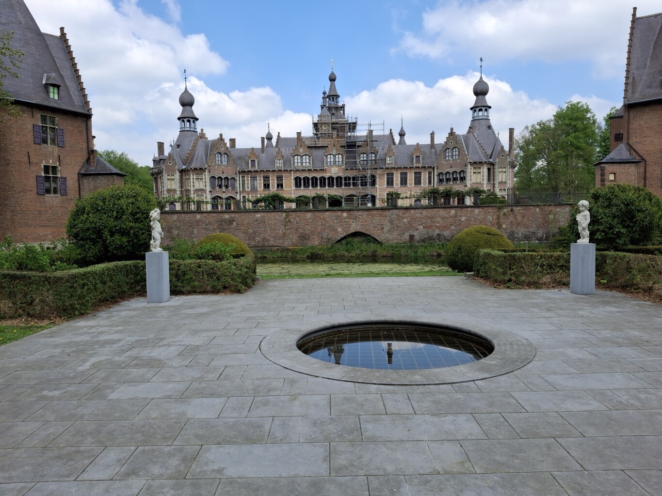
#7. Ooidonk Wandelroute
Deinze
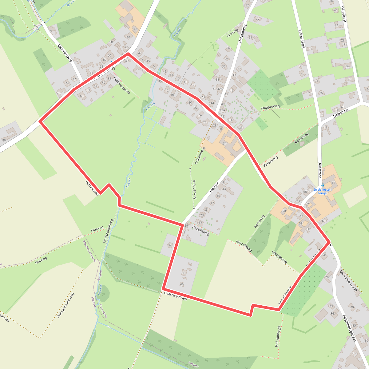
#8. 2km Aaigem
Aaigem
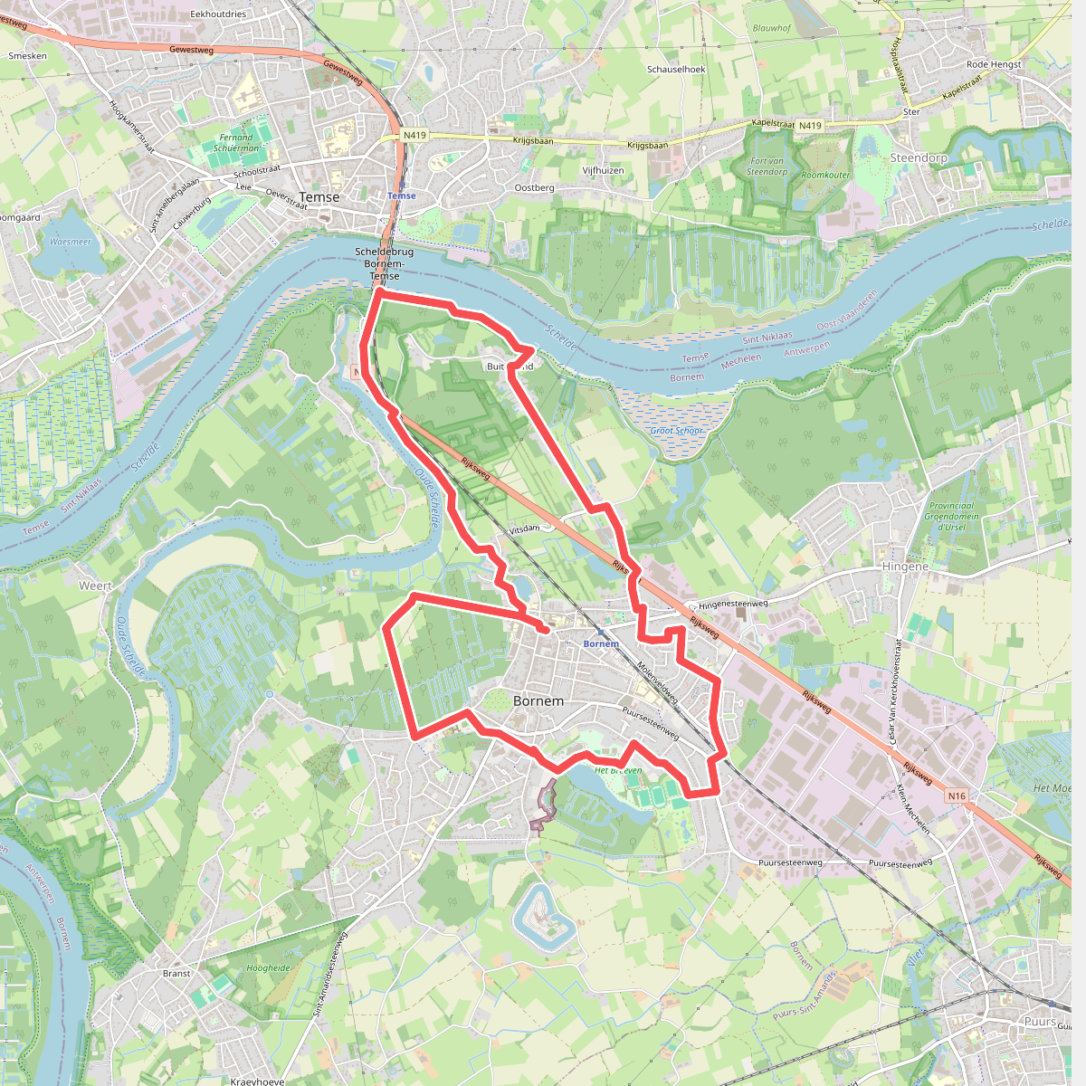
#9. Kasteelpad
Bornem
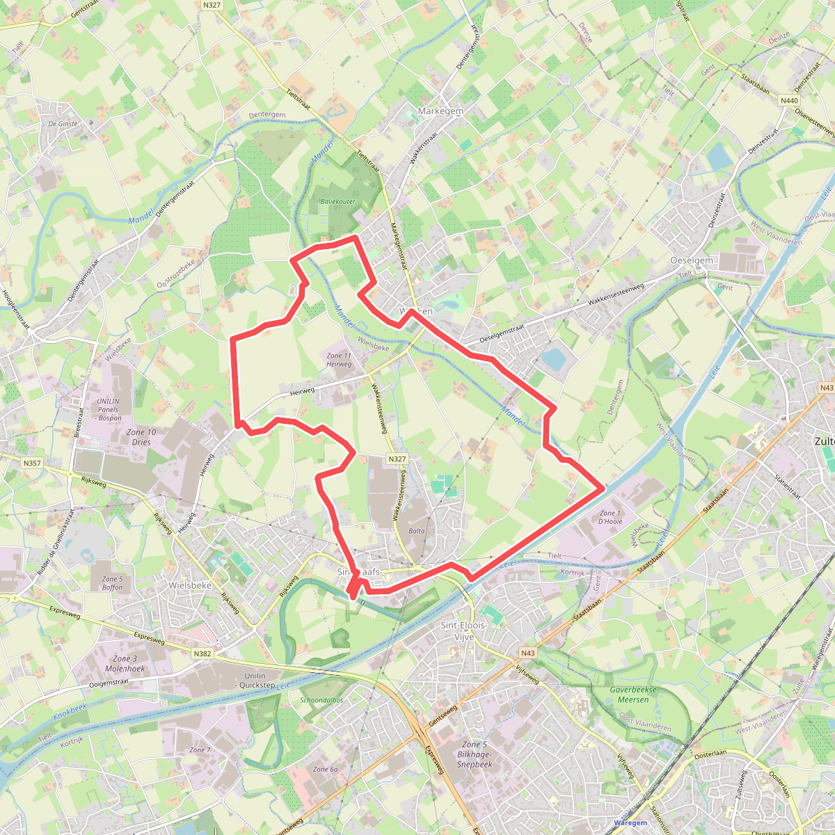
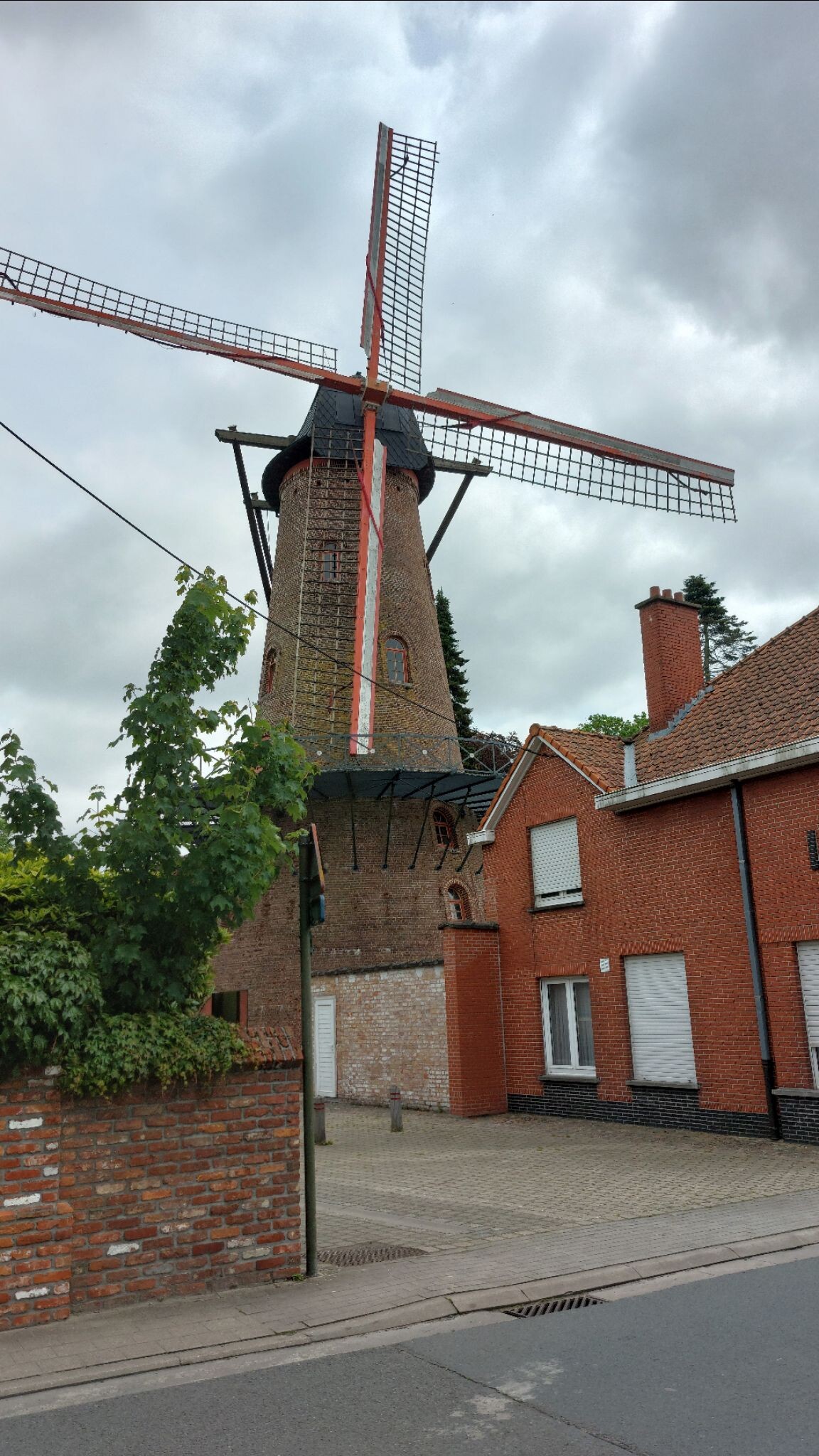
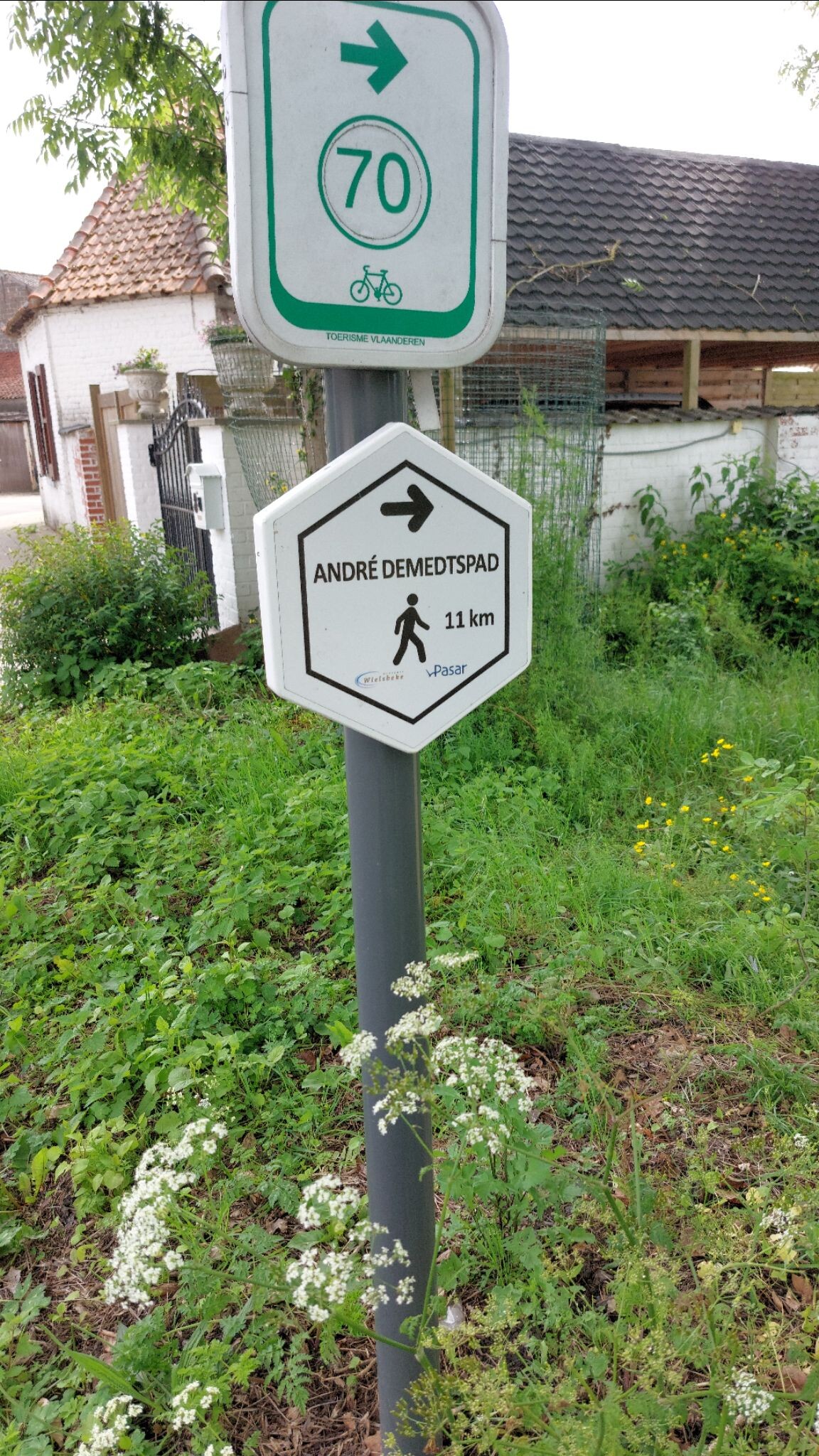
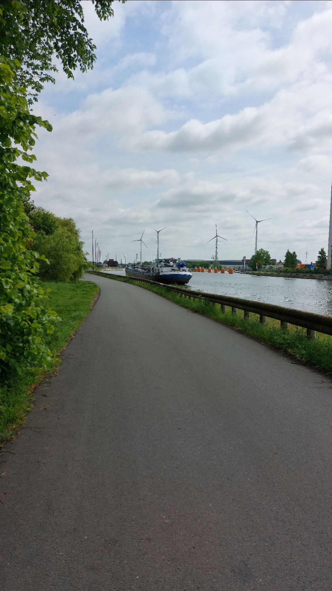
#10. André Demedtspad
Sint-Baafs-Vijve,Wakken
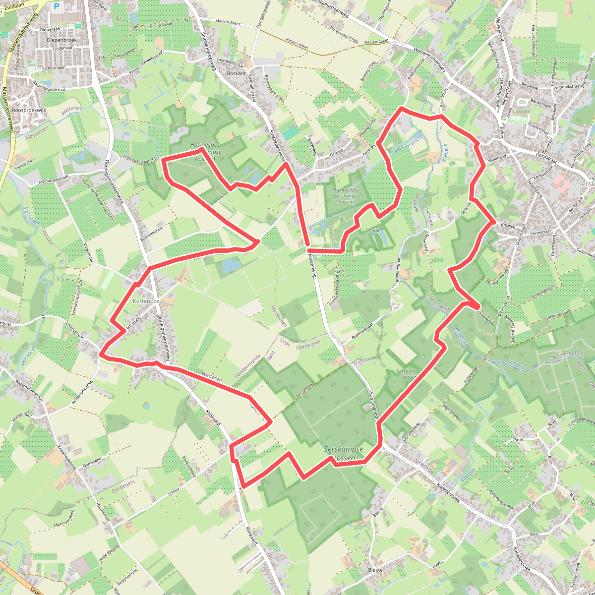
#11. 4 bossenwandeling
Wetteren,Wichelen,Lede
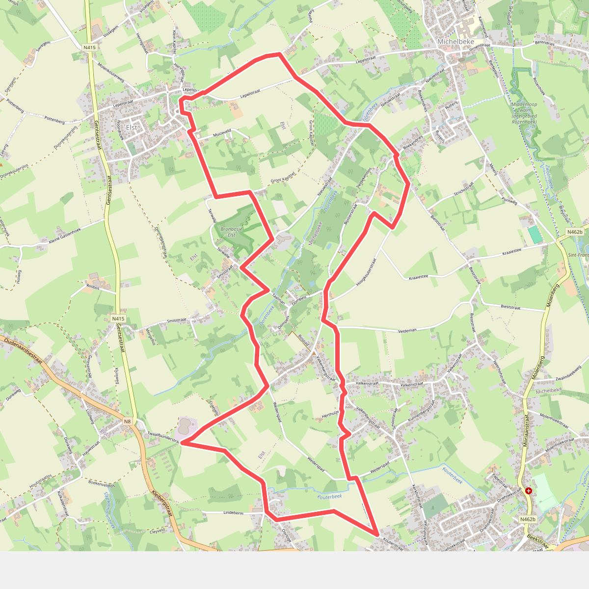
#12. Brakel Wandelroute
Nederbrakel,Elst,Michelbeke



