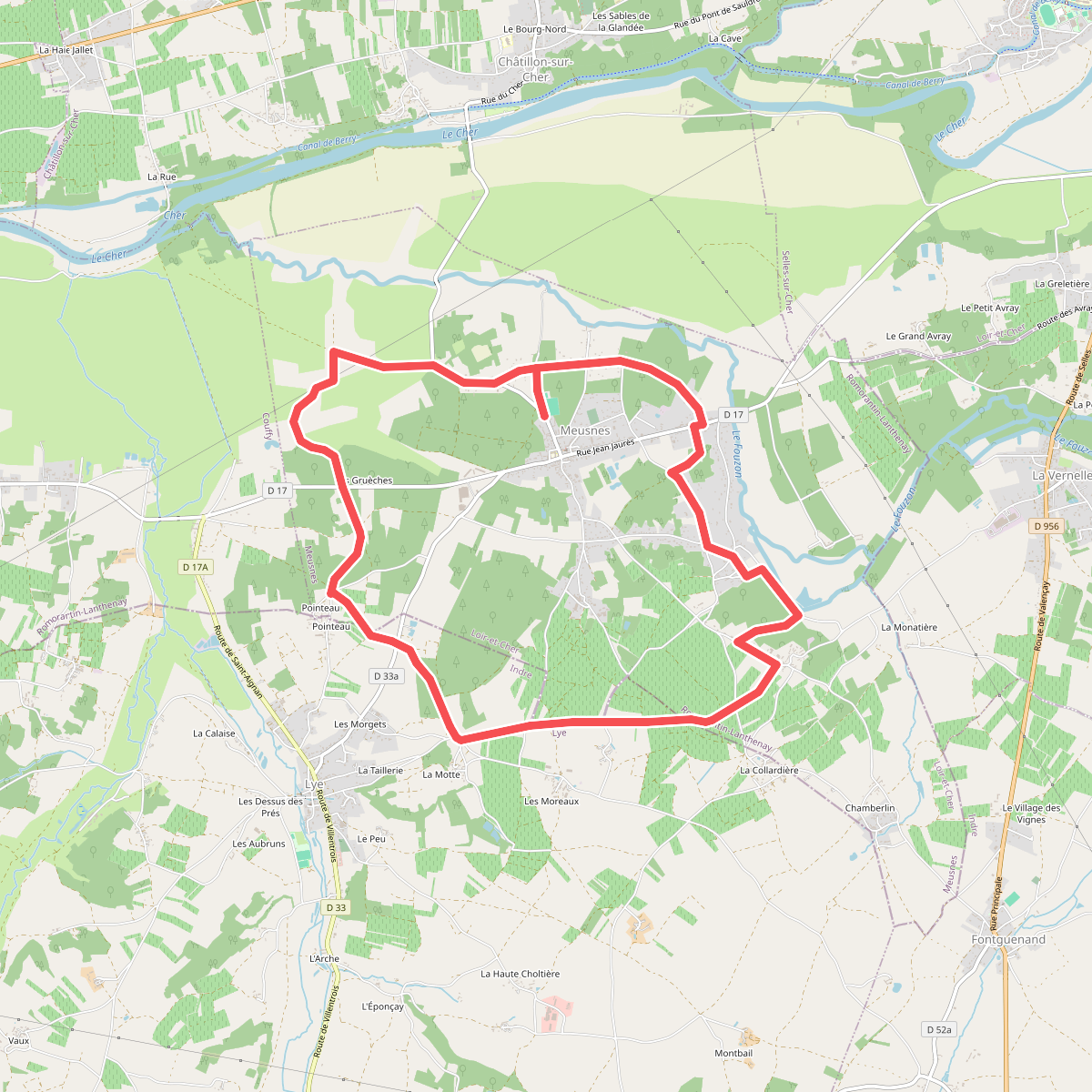
The best hiking routes in Zone Natura 2000 de la Vallée du Cher et Coteaux, Forêt de Grosbois
Discover the best walks in Zone Natura 2000 de la Vallée du Cher et Coteaux, Forêt de Grosbois. 10 routes on the map, with descriptions, photos and GPX.
About Zone Natura 2000 de la Vallée du Cher et Coteaux, Forêt de Grosbois
The Zone Natura 2000 de la Vallée du Cher et Coteaux, Forêt de Grosbois offers a distinct contrast between steep, wooded slopes and a wide, alluvial river valley. Walking here means navigating two distinct environments. Along the hillsides, the path cuts through dense oak and beech woodland where limestone outcrops break through the soil, while the lower sections follow the slow-moving Cher river. This is not a high-altitude mountain hike; the terrain consists of moderate, sometimes steep climbs up the valley sides followed by flat, riverside paths.
Read more
About Zone Natura 2000 de la Vallée du Cher et Coteaux, Forêt de Grosbois
The Zone Natura 2000 de la Vallée du Cher et Coteaux, Forêt de Grosbois offers a distinct contrast between steep, wooded slopes and a wide, alluvial river valley. Walking here means navigating two distinct environments. Along the hillsides, the path cuts through dense oak and beech woodland where limestone outcrops break through the soil, while the lower sections follow the slow-moving Cher river. This is not a high-altitude mountain hike; the terrain consists of moderate, sometimes steep climbs up the valley sides followed by flat, riverside paths.
Read moreThe Zone Natura 2000 de la Vallée du Cher et Coteaux, Forêt de Grosbois offers a distinct contrast between steep, wooded slopes and a wide, alluvial river valley. Walking here means navigating two distinct environments. Along the hillsides, the path cuts through dense oak and beech woodland where limestone outcrops break through the soil, while the lower sections follow the slow-moving Cher river. This is not a high-altitude mountain hike; the terrain consists of moderate, sometimes steep climbs up the valley sides followed by flat, riverside paths.
Underfoot, the trails change quickly from soft forest loam and leaf litter under the canopy of the Forêt de Grosbois to firmer, gravelly tracks along the riverbanks. You will notice how the vegetation adapts to the geology, with dry, calcareous grasslands clinging to the sunny, exposed slopes of the coteaux, while damp-loving ash and willow trees line the water below. In April and May, the forest floor is marked by the emergence of early spring wildflowers before the canopy closes.
This area is ideal if you prefer quiet, self-guided exploration over highly developed tourist trails. The paths are generally natural and can be uneven with exposed tree roots on the slopes, requiring steady footing. While the riverside sections are straightforward and easy to follow, the climbs into the woods provide a more rugged, enclosed feel, making it a varied choice for those who enjoy shifting between deep forest shade and open river views.
Hiking routes in Zone Natura 2000 de la Vallée du Cher et Coteaux, Forêt de Grosbois (10)
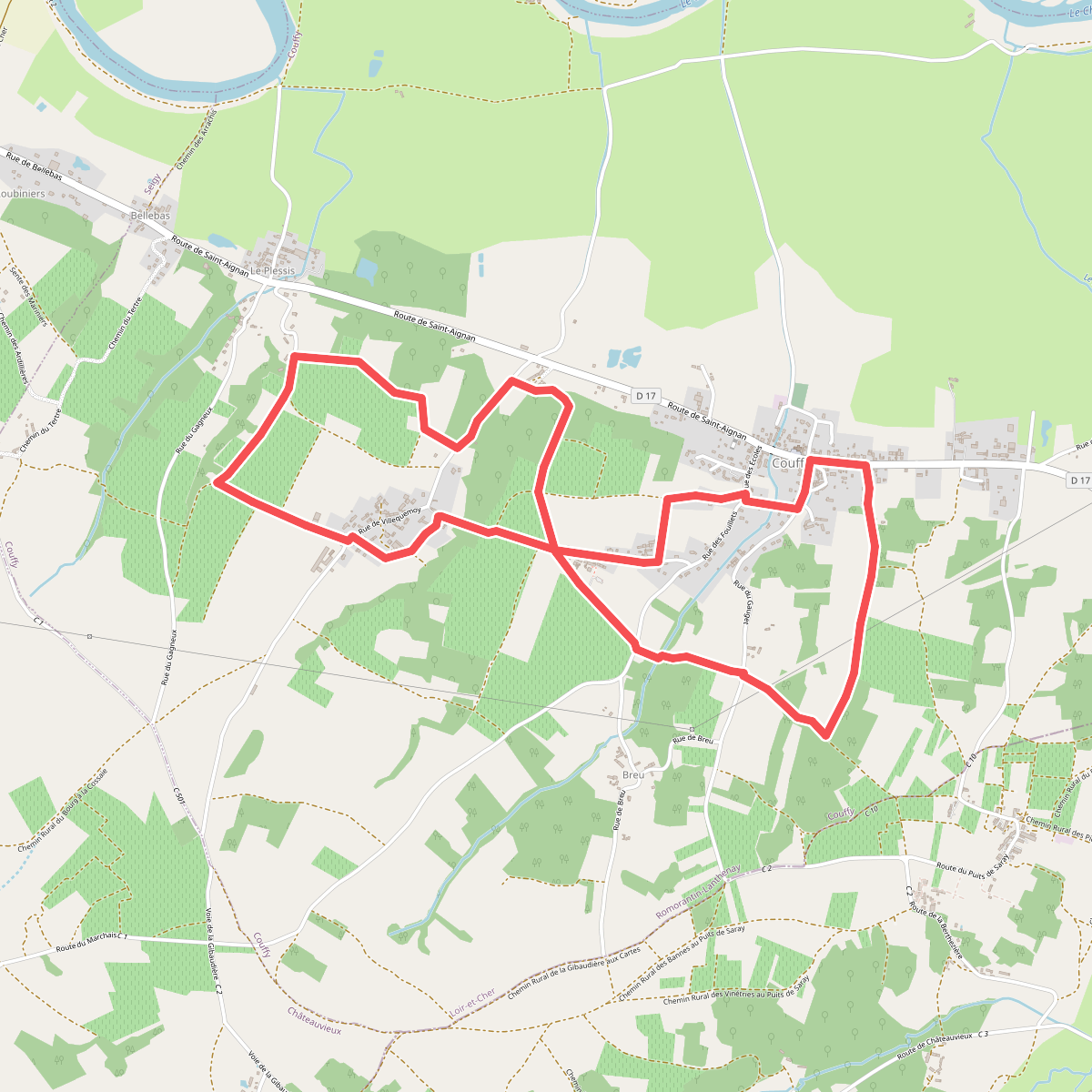
#1. Chemin de la Moussinière
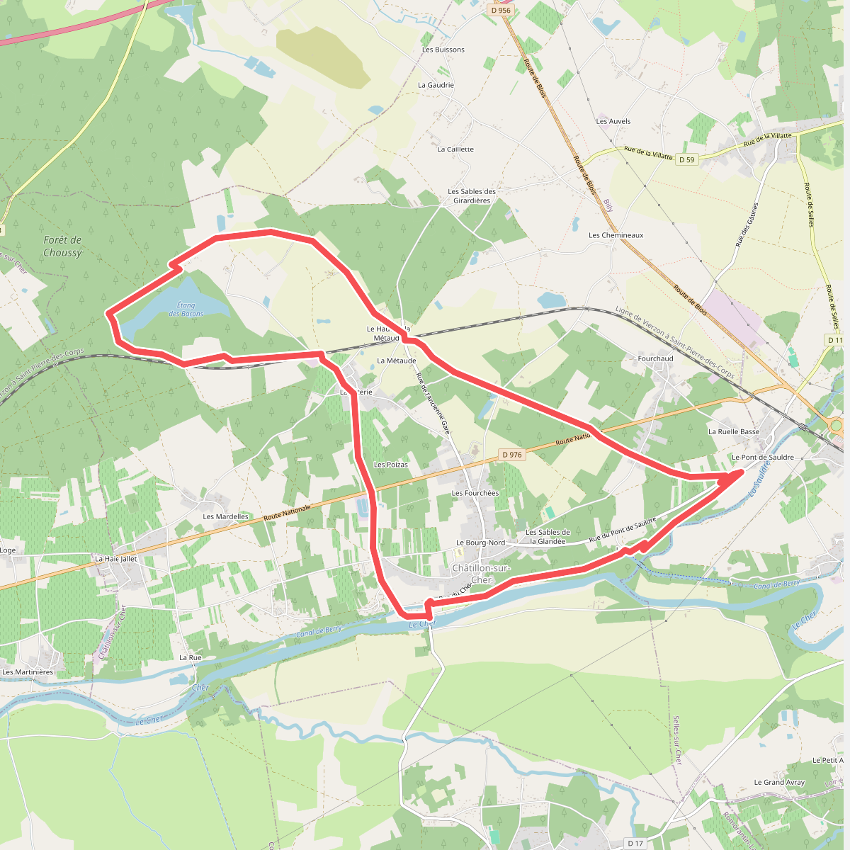
#2. Circuit des vignes à la forêt
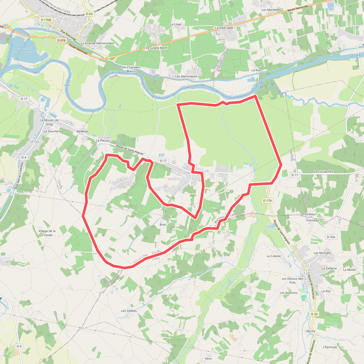
#3. Entre Cher et Côteaux
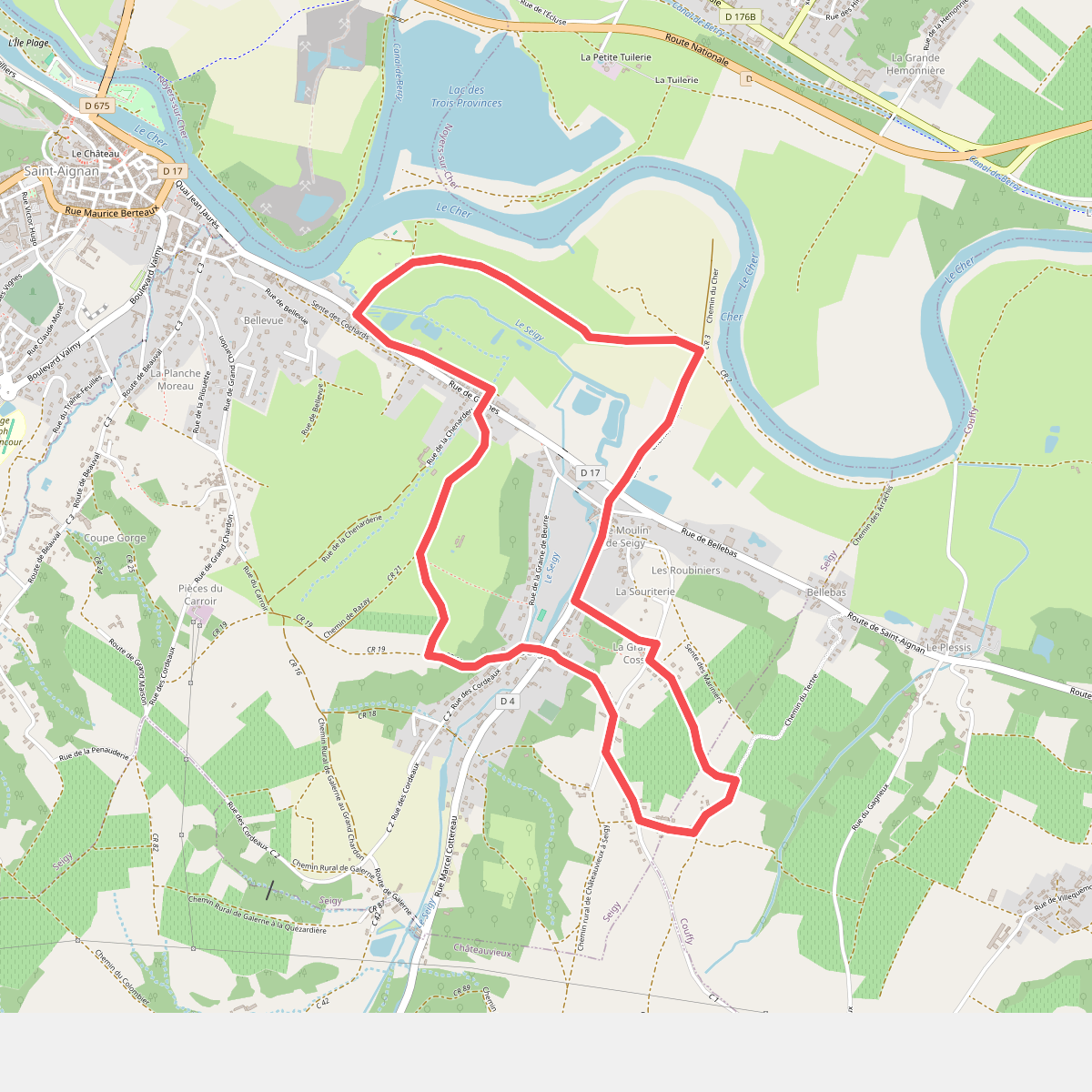
#4. Entre coteaux et vallée
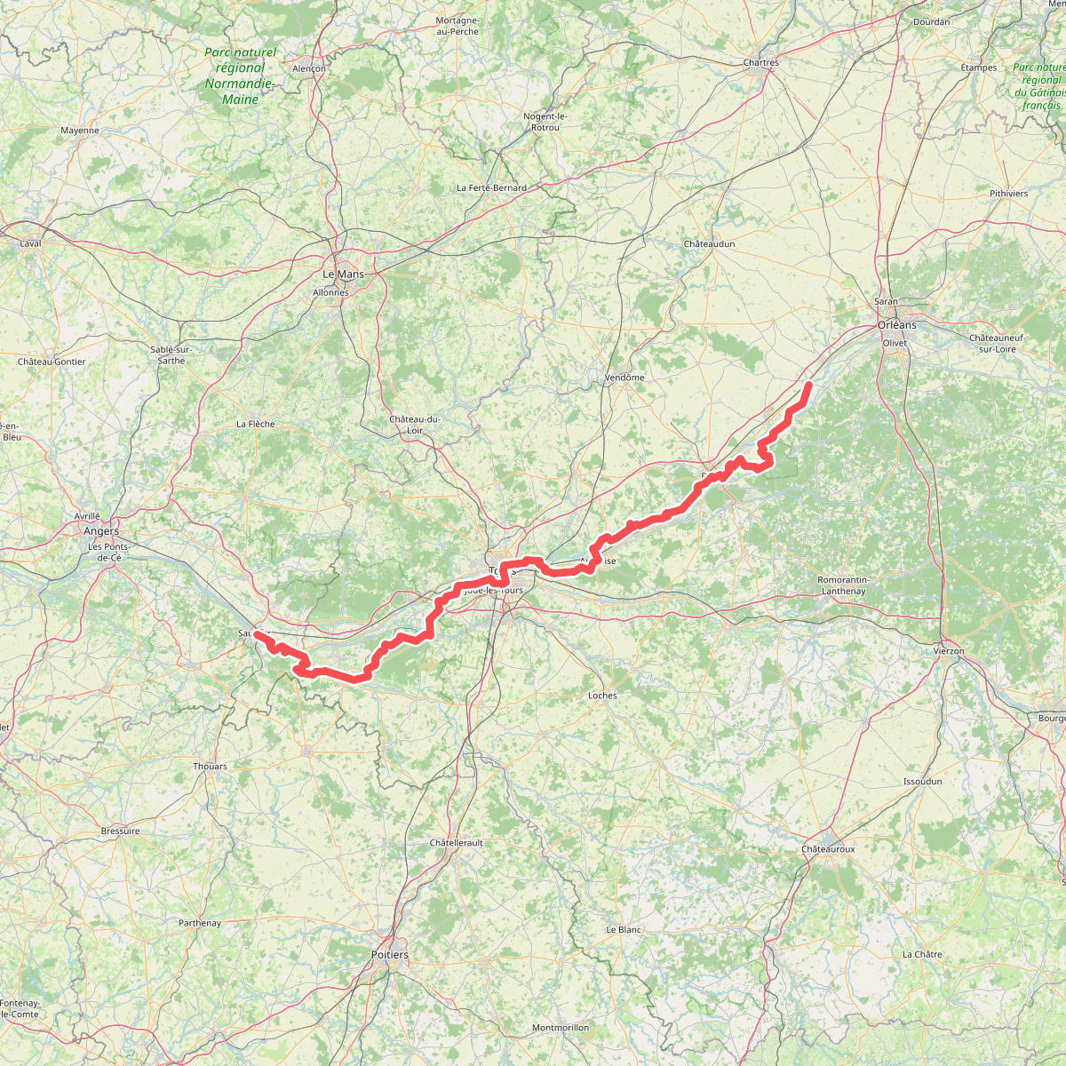
#5. European long distance path E5, France, south variant · Saumur – Beaugency
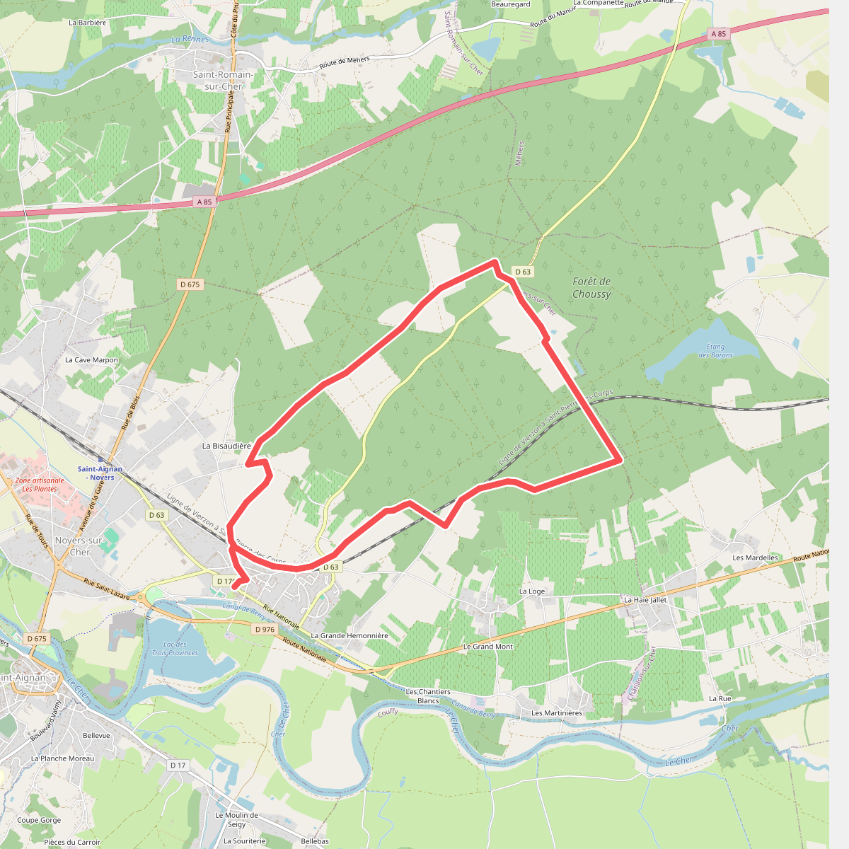
#6. Forêt de Gros Bois
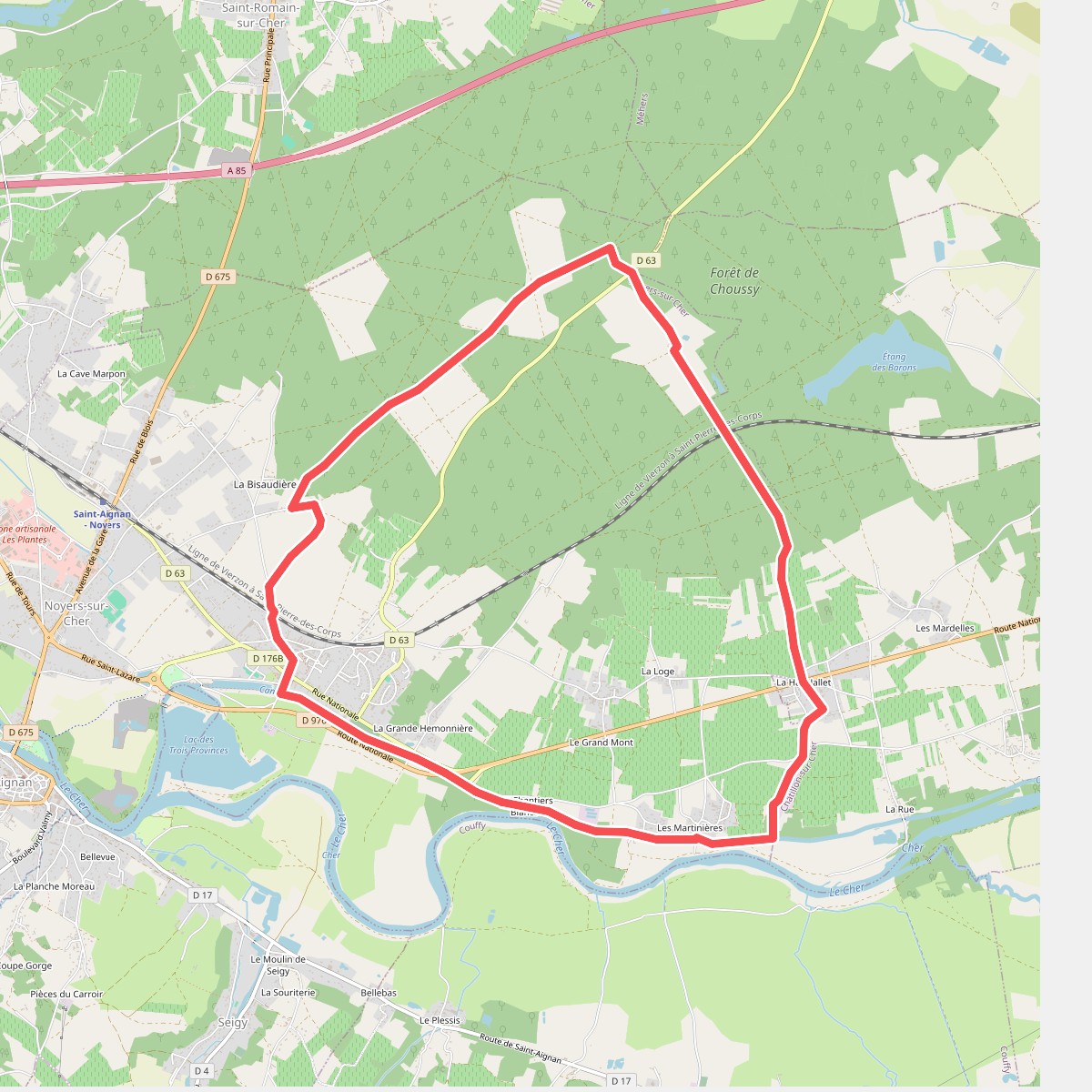
#7. Forêt et vignoble
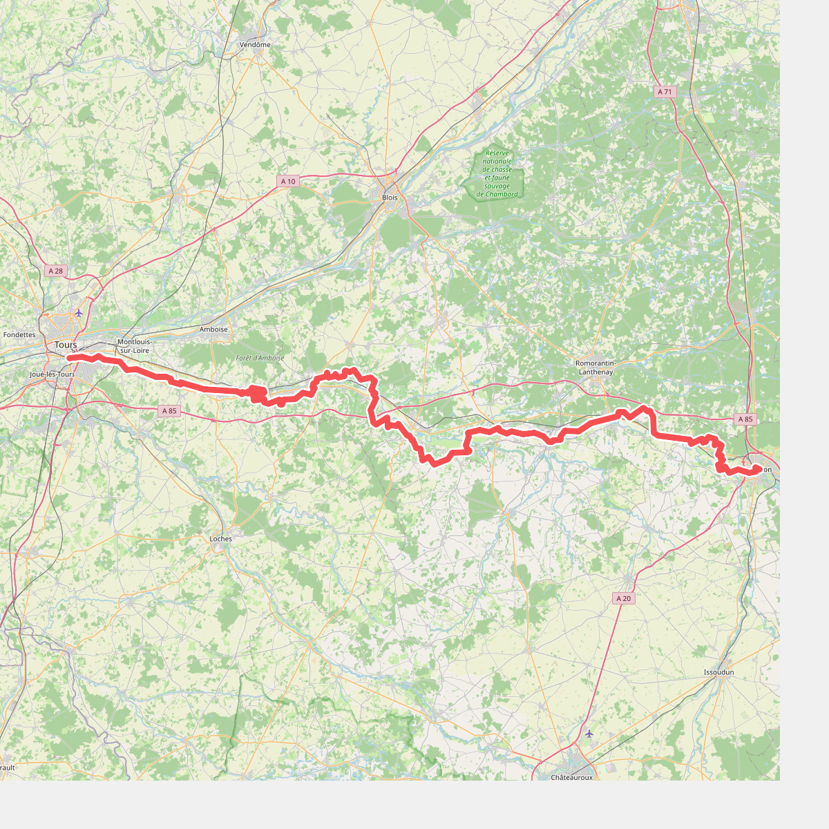
#8. Le Cher, de Tours à Vierzon
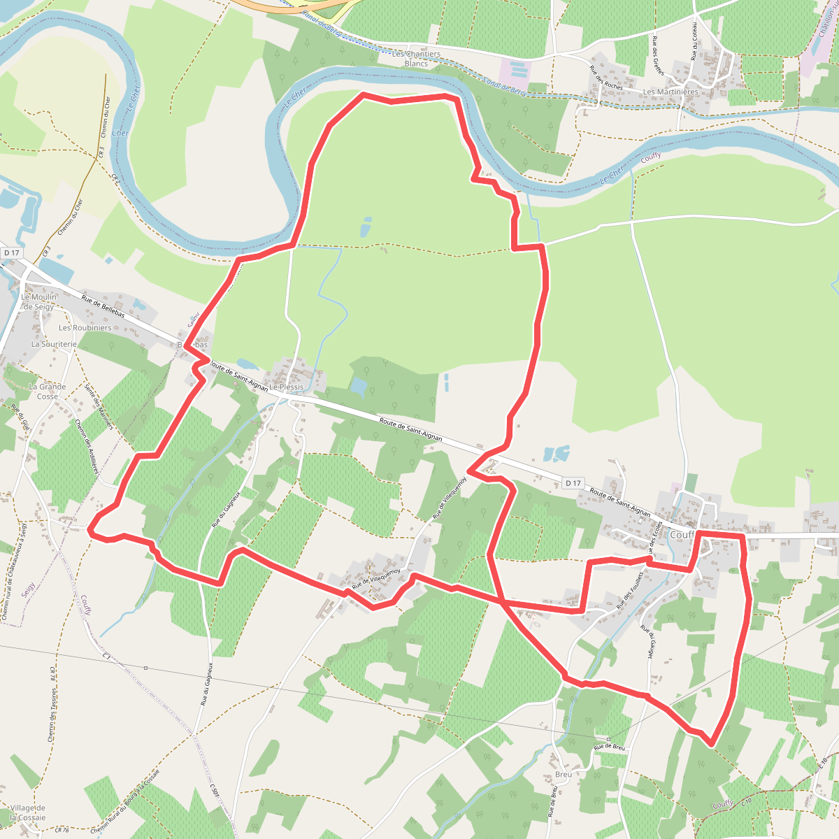
#9. Prairies et Vignobles