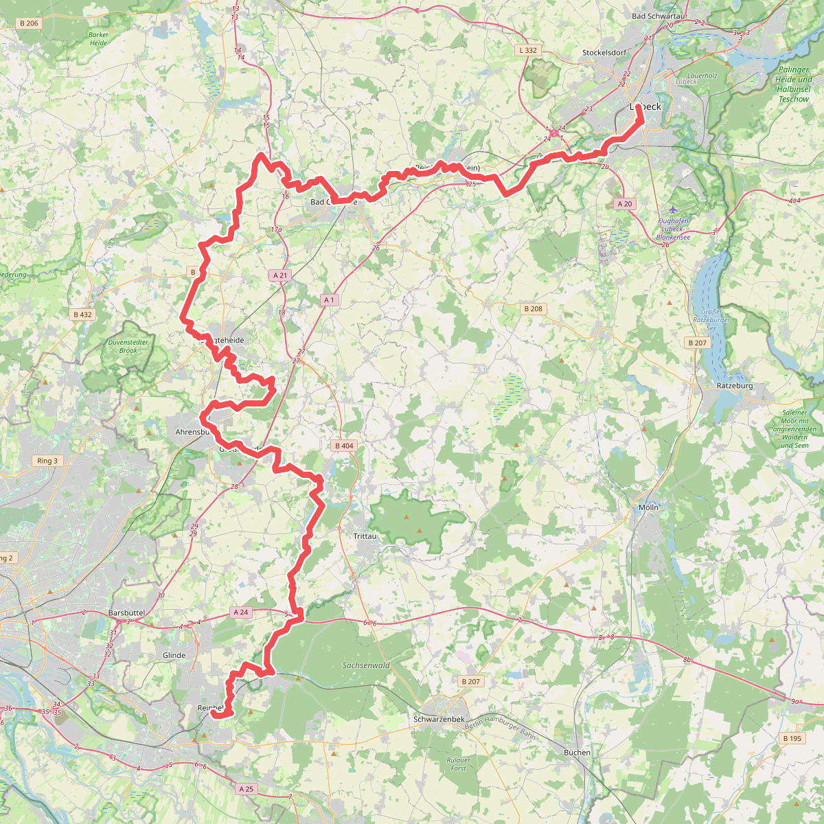
The best hiking routes in Talraum und Umfeld von Grienau und Quadebek
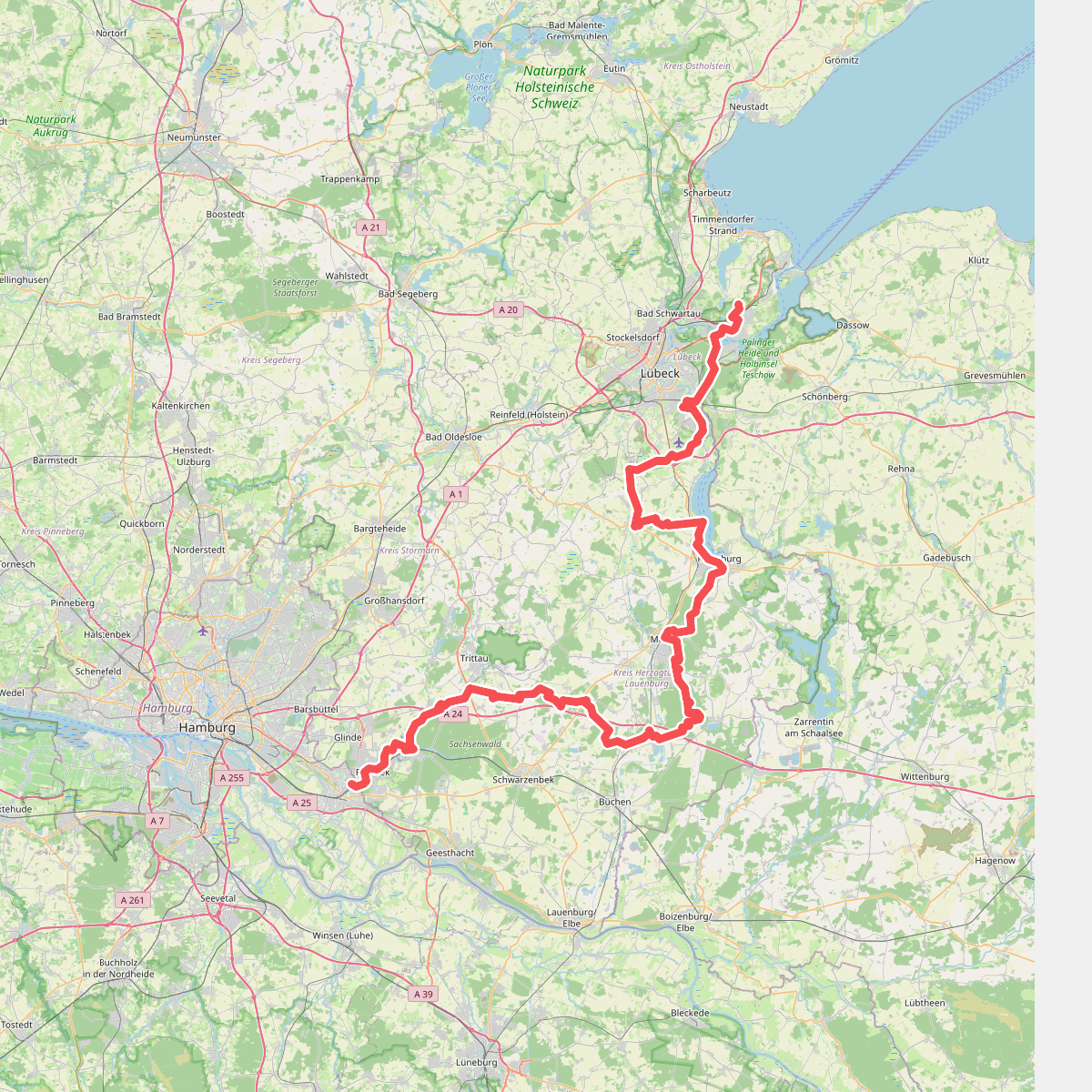
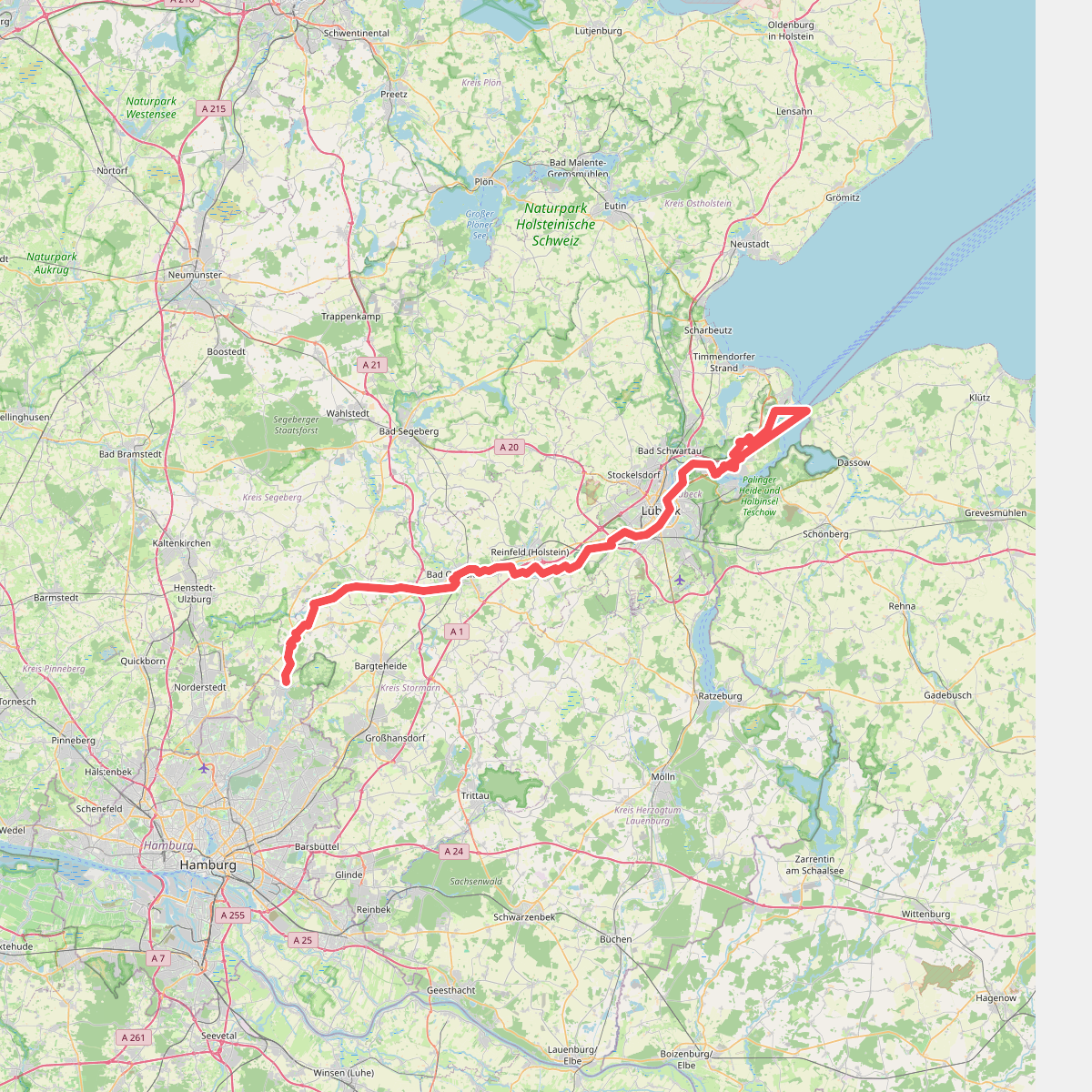
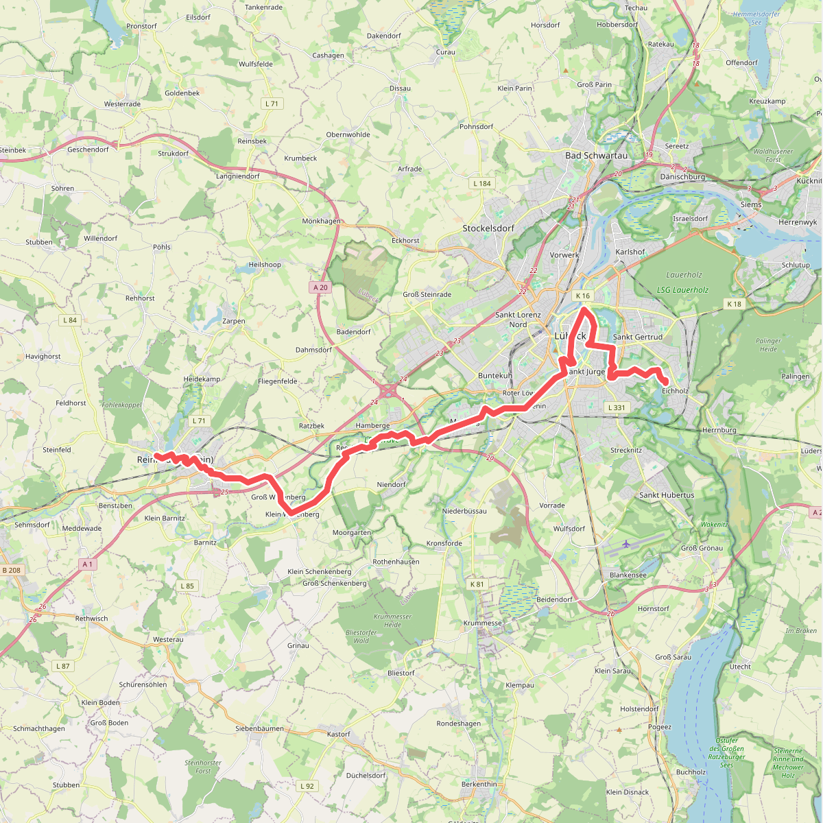
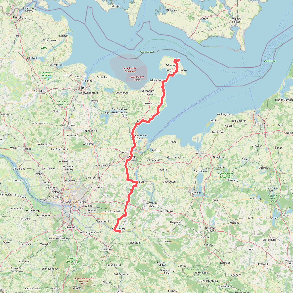
Discover the best walks in Talraum und Umfeld von Grienau und Quadebek. 5 routes on the map, with descriptions, photos and GPX.
About Talraum und Umfeld von Grienau und Quadebek
The Talraum und Umfeld von Grienau und Quadebek is a low-lying valley landscape shaped by small, slow-flowing stream systems. Unlike the drier, sandy pine forests of the wider region, this area is defined by its damp alluvial soils, drainage ditches, and pockets of wet alder carr. Walkers will find a flat terrain where pastureland meets marshy thickets, meaning the view is constantly broken by hedgerows and lines of willow trees rather than opening up into wide vistas.
Read more
About Talraum und Umfeld von Grienau und Quadebek
The Talraum und Umfeld von Grienau und Quadebek is a low-lying valley landscape shaped by small, slow-flowing stream systems. Unlike the drier, sandy pine forests of the wider region, this area is defined by its damp alluvial soils, drainage ditches, and pockets of wet alder carr. Walkers will find a flat terrain where pastureland meets marshy thickets, meaning the view is constantly broken by hedgerows and lines of willow trees rather than opening up into wide vistas.
Read moreThe Talraum und Umfeld von Grienau und Quadebek is a low-lying valley landscape shaped by small, slow-flowing stream systems. Unlike the drier, sandy pine forests of the wider region, this area is defined by its damp alluvial soils, drainage ditches, and pockets of wet alder carr. Walkers will find a flat terrain where pastureland meets marshy thickets, meaning the view is constantly broken by hedgerows and lines of willow trees rather than opening up into wide vistas.
Underfoot, the paths transition quickly from firm, unpaved agricultural tracks to soft, muddy paths near the stream banks. There are no boardwalks or gravelled promenades here, so walkers should expect uneven ground that reflects the natural drainage of the valley. The central watercourses of the Grienau and Quadebek dictate the layout of the paths, which often run parallel to the water before turning sharply along field boundaries.
In late spring, around May, the damp meadows are easily identified by the yellow blooms of marsh marigolds, highlighting the wettest depressions in the fields. This is a working agricultural landscape interspersed with conservation zones, meaning you will likely encounter grazing cattle and farm vehicles alongside local walkers. It is a modest, functional valley suited for those who prefer quiet, unpretentious paths over dramatic terrain.