The best hiking routes in Schwarzhölzl mit Würmkanal und Feldmochinger See
Discover the best walks in Schwarzhölzl mit Würmkanal und Feldmochinger See. 2 routes on the map, with descriptions, photos and GPX.
About Schwarzhölzl mit Würmkanal und Feldmochinger See
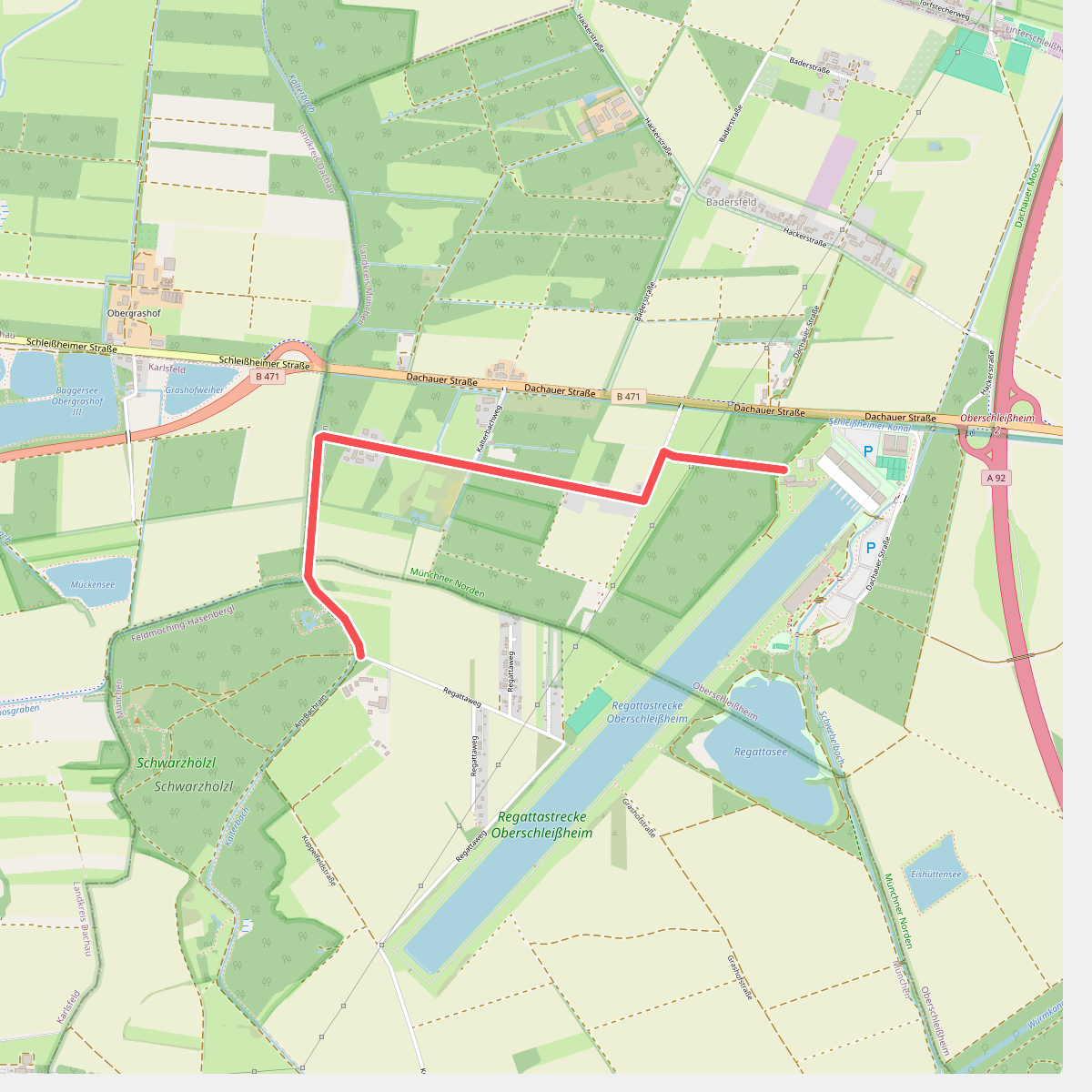
Schwarzhölzl mit Würmkanal und Feldmochinger See offers a distinct transition between damp peatland forest, straight artificial waterways, and a gravel-pit lake on the northern edge of Munich. It is not a place of rolling hills or deep valleys, but a flat, low-lying basin where the high water table dictates the vegetation. Walkers will notice the stark contrast between the dark, shaded canopy of the Schwarzhölzl, a remnant of the Dachauer Moos peatland, and the wide, sun-exposed banks of the historical Würmkanal.
Read more
About Schwarzhölzl mit Würmkanal und Feldmochinger See
Schwarzhölzl mit Würmkanal und Feldmochinger See offers a distinct transition between damp peatland forest, straight artificial waterways, and a gravel-pit lake on the northern edge of Munich. It is not a place of rolling hills or deep valleys, but a flat, low-lying basin where the high water table dictates the vegetation. Walkers will notice the stark contrast between the dark, shaded canopy of the Schwarzhölzl, a remnant of the Dachauer Moos peatland, and the wide, sun-exposed banks of the historical Würmkanal.
Read moreSchwarzhölzl mit Würmkanal und Feldmochinger See offers a distinct transition between damp peatland forest, straight artificial waterways, and a gravel-pit lake on the northern edge of Munich. It is not a place of rolling hills or deep valleys, but a flat, low-lying basin where the high water table dictates the vegetation. Walkers will notice the stark contrast between the dark, shaded canopy of the Schwarzhölzl, a remnant of the Dachauer Moos peatland, and the wide, sun-exposed banks of the historical Würmkanal.
Underfoot, the paths change from soft, damp earth and leaf litter under the pine and birch trees of the woodland to firm, gravel-surfaced tracks alongside the canal. The water in the canal flows clear and fast, lined by straight rows of trees that emphasize the artificial, engineered nature of this landscape. This contrasts with the irregular, tangled undergrowth of the adjacent bog-forest, where fallen timber is left to decay.
Further south, the landscape opens up completely at the Feldmochinger See, a deep lake created by gravel extraction. The shoreline here features wide lawns and scattered trees, which draw larger crowds of swimmers and sunbathers in July and August. For a quieter walk, the narrow woodland trails in the northern peat forest remain the best option, offering a more enclosed and shaded environment.