

The best hiking routes in Roerdal
Discover the best walks in Roerdal. 19 routes on the map, with descriptions, photos and GPX.
Managed by Staatsbosbeheer;Limburgs Landschap;Rijkswaterstaat


About Roerdal
The Roerdal offers a distinct walking experience shaped by the small, meandering Roer river and its damp valley. Unlike the dry pine forests and high sandy dunes found elsewhere in the province of Limburg, this river corridor is characterized by wet alluvial forests, marshy grasslands, and dense alder carr. The terrain is flat to gently sloping, where the transition from the damp river basin to the slightly higher, drier terraces is visible in the changing vegetation and soil types underfoot.
Read more
About Roerdal
The Roerdal offers a distinct walking experience shaped by the small, meandering Roer river and its damp valley. Unlike the dry pine forests and high sandy dunes found elsewhere in the province of Limburg, this river corridor is characterized by wet alluvial forests, marshy grasslands, and dense alder carr. The terrain is flat to gently sloping, where the transition from the damp river basin to the slightly higher, drier terraces is visible in the changing vegetation and soil types underfoot.
Read moreThe Roerdal offers a distinct walking experience shaped by the small, meandering Roer river and its damp valley. Unlike the dry pine forests and high sandy dunes found elsewhere in the province of Limburg, this river corridor is characterized by wet alluvial forests, marshy grasslands, and dense alder carr. The terrain is flat to gently sloping, where the transition from the damp river basin to the slightly higher, drier terraces is visible in the changing vegetation and soil types underfoot.
Walkers will find a mix of surfaces that reflect this hydrology. While some paths follow firm, grassy dikes and sandy tracks on the higher banks, other sections require navigating damp clay paths and wooden boardwalks designed to cross the wettest marshland. The landscape is a patchwork of small-scale pastures bordered by thick hedgerows, reed beds, and pockets of willow scrub, which contrast with the wider agricultural plains nearby.
This area is ideal for those who prefer intimate, enclosed riverine landscapes over vast, open views. In late spring, around May, the damp meadows are marked by yellow iris and flowering herbs, while the river itself remains a constant presence, visible through gaps in the bankside trees. It is a quiet, working natural valley where the focus is on the slow flow of the water and the rich, damp soils rather than dramatic elevation changes.
Hiking routes in Roerdal (19)

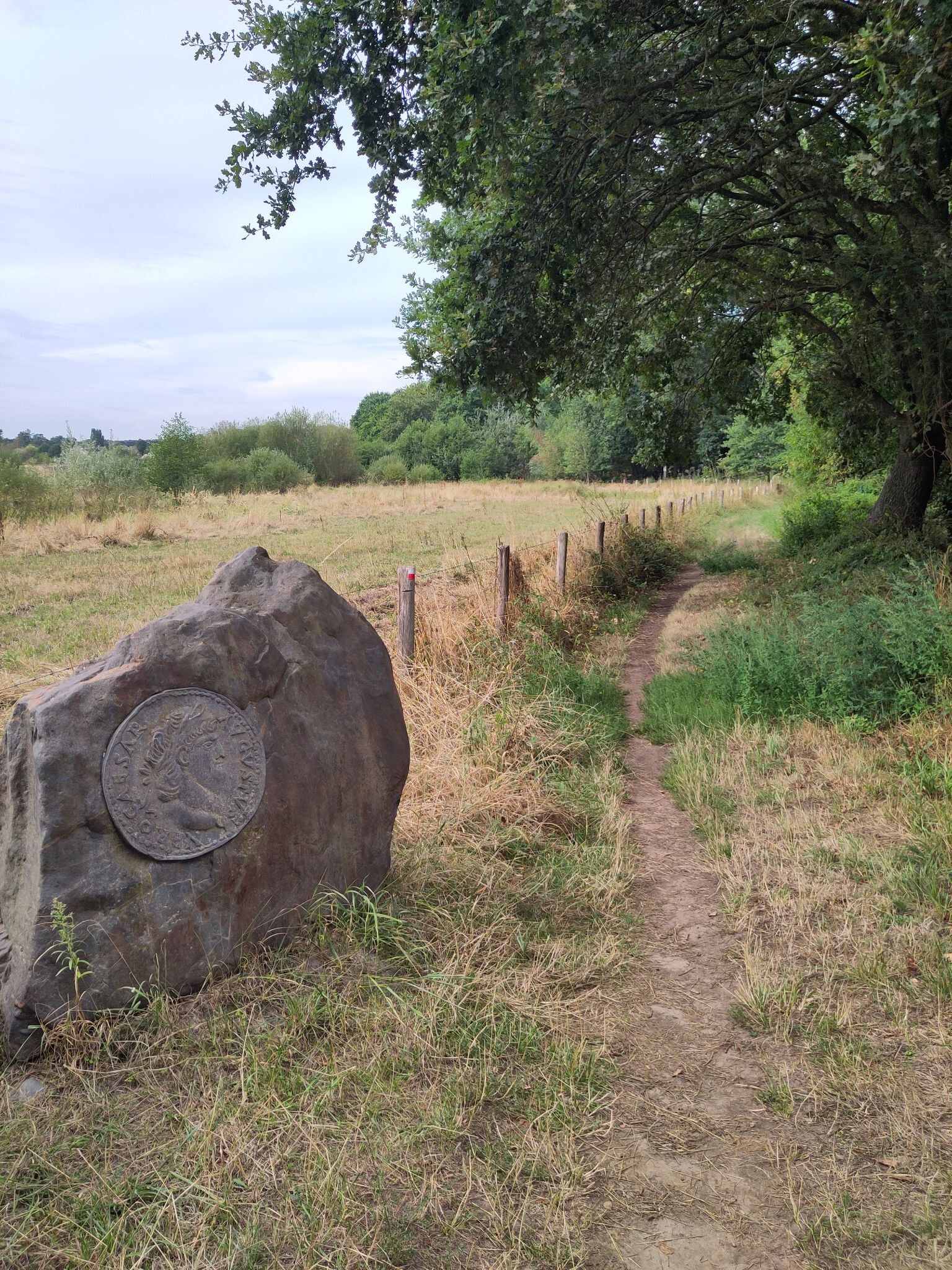
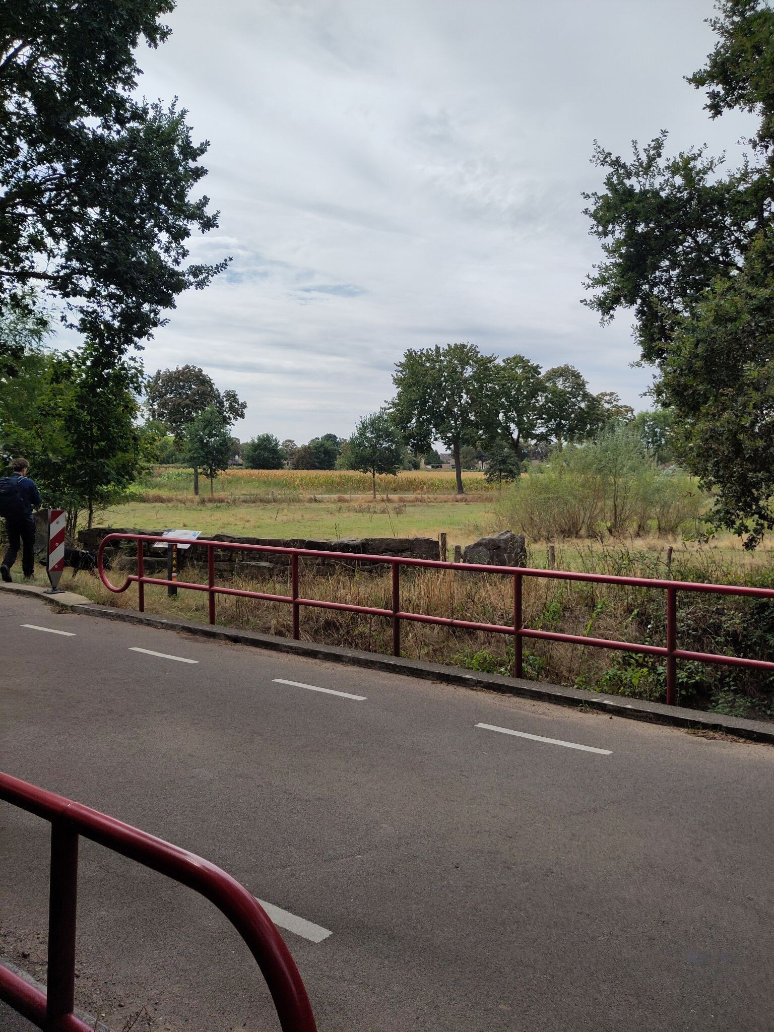
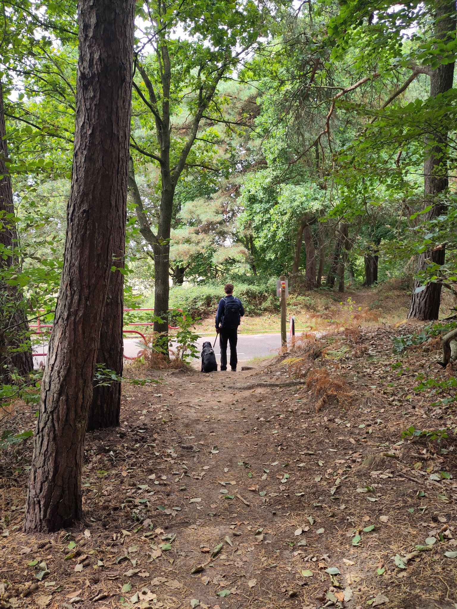
#1. Swalmen - Montfort · Pieterpad etappe 23
Swalmen,Roermond,Melick,Sint Odiliënberg,Montfort


#2. Aan de Berg. - Roermond station · Maas-Niederrheinpad etappe 17
Roermond,Herten,Linne,Maasbracht,Montfort
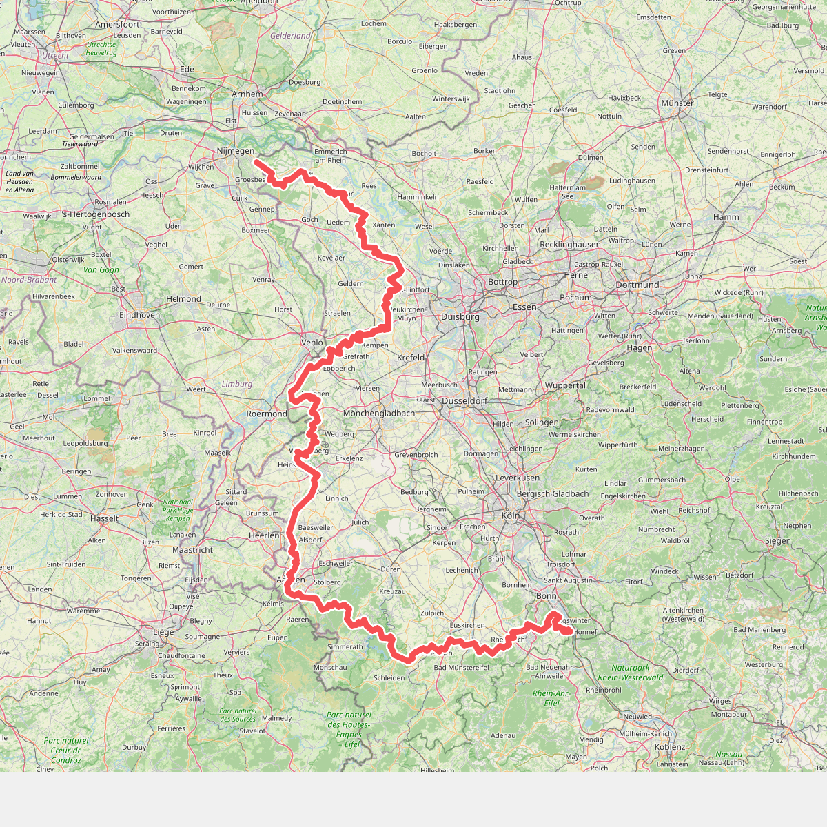
#3. Europäischer Fernwanderweg E8, Nordrhein-Westfalen


#4. Herkenbosch - Aan de Berg · Maas-Niederrheinpad etappe 16
Montfort,Sint Odiliënberg,Melick,Posterholt,Herkenbosch

#5. Herkenbosch naar Koningsbosch - "Het witte goud" · NederRandpad etappe 27
Koningsbosch,Maria Hoop,Posterholt,Vlodrop,Herkenbosch

#6. Het Herkenbosscherbroek
Herkenbosch,Vlodrop,Wassenberg

#7. Weert - Roermond · Jacobsweg Amstelredam etappe 13
Weert,Nederweert,Nederweert-Eind,Leveroy,Heythuysen,Baexem,Horn,Roermond

#8. Leudalmuseum - Roermond · Dwars door Brabant Etappe 17
Haelen,Horn,Roermond


#9. Leudalmuseum - Roermond station · Hertogenpad etappe 12
Roermond,Horn,Baexem,Haelen

#10. maas-niederrheinpad etappe 18
Roermond,Swalmen,Beesel

#11. Paarse pracht
Herkenbosch

#12. Reuver naar Herkenbosch - "Grensverhalen" · NederRandpad etappe 26
Herkenbosch,Roermond,Swalmen,Beesel,Reuver




