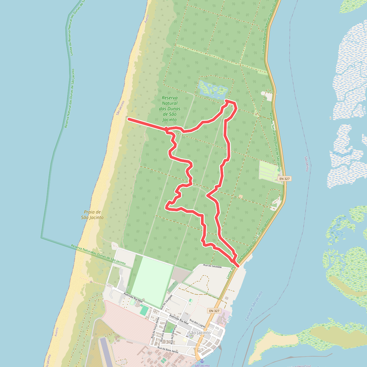
The best hiking routes in Ria de Aveiro
Discover the best walks in Ria de Aveiro. 10 routes on the map, with descriptions, photos and GPX.
Managed by Instituto da Conservação da Natureza e das Florestas
About Ria de Aveiro
Ria de Aveiro is a vast coastal lagoon system where the freshwater of the Vouga River meets the Atlantic Ocean. The landscape is flat, dominated by saltwater marshes, tidal mudflats, and a network of narrow channels. Walkers will not find any cliffs or hills here; instead, the terrain is a low-lying patchwork of salt pans, pastures, and pine forests growing on old sand dunes. The visual character of the area changes with the daily tides, which expose mudflats and alter the width of the water channels.
Read more
About Ria de Aveiro
Ria de Aveiro is a vast coastal lagoon system where the freshwater of the Vouga River meets the Atlantic Ocean. The landscape is flat, dominated by saltwater marshes, tidal mudflats, and a network of narrow channels. Walkers will not find any cliffs or hills here; instead, the terrain is a low-lying patchwork of salt pans, pastures, and pine forests growing on old sand dunes. The visual character of the area changes with the daily tides, which expose mudflats and alter the width of the water channels.
Read moreRia de Aveiro is a vast coastal lagoon system where the freshwater of the Vouga River meets the Atlantic Ocean. The landscape is flat, dominated by saltwater marshes, tidal mudflats, and a network of narrow channels. Walkers will not find any cliffs or hills here; instead, the terrain is a low-lying patchwork of salt pans, pastures, and pine forests growing on old sand dunes. The visual character of the area changes with the daily tides, which expose mudflats and alter the width of the water channels.
Underfoot, the paths vary significantly depending on where you walk. The outer spit, which shields the lagoon from the ocean, consists of loose sand tracks and wooden boardwalks that run through fragile dune systems. Further inland, around the salt pans and agricultural fields, the paths transition to hard-packed dirt tracks, grassy dikes, and occasional muddy sections near the marsh edges. These inland trails are often bordered by traditional stone walls and reed beds.
In autumn, particularly during October, the mudflats become key feeding grounds for migratory wading birds, which are easily observed from the dikes. While the main waterfronts near the towns can attract visitors, the rural dikes and northern peninsula tracks offer a much quieter experience. This is a working landscape of salt harvesting and small-scale farming, where the paths are shared with local fishermen and salt workers rather than recreational crowds.
Hiking routes in Ria de Aveiro (10)
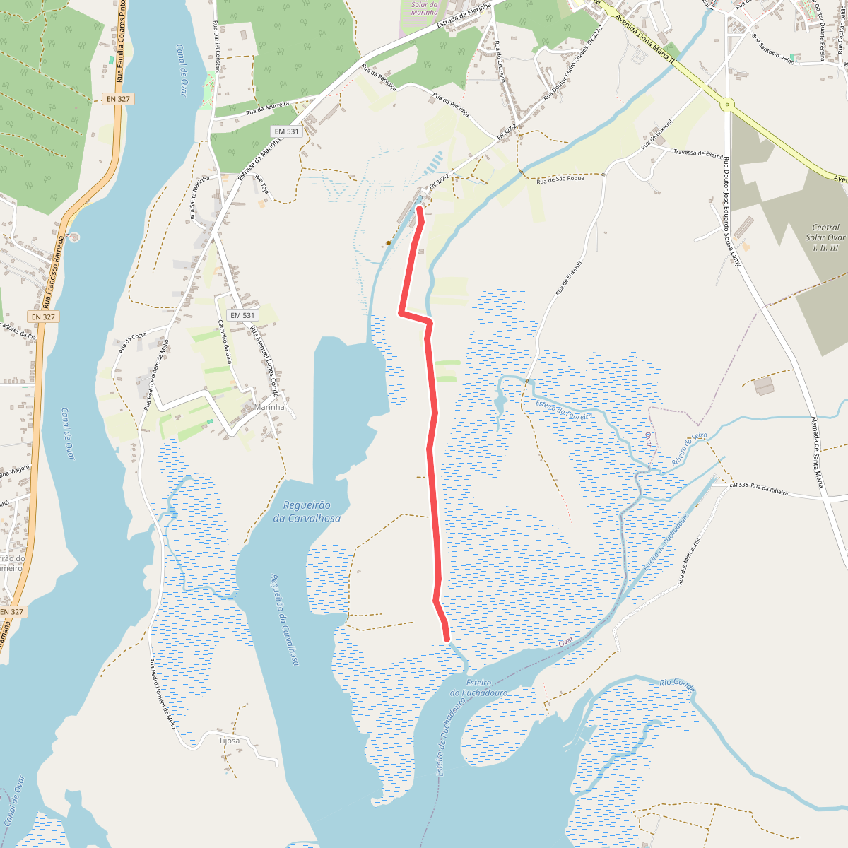
#1. Percurso 2 – Cais da Ribeira até à Foz do Cáster
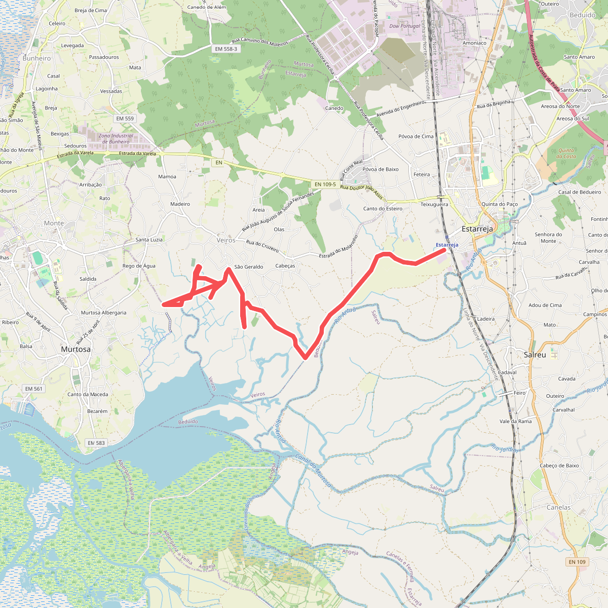
#2. Percurso das Ribeiras de Veiros
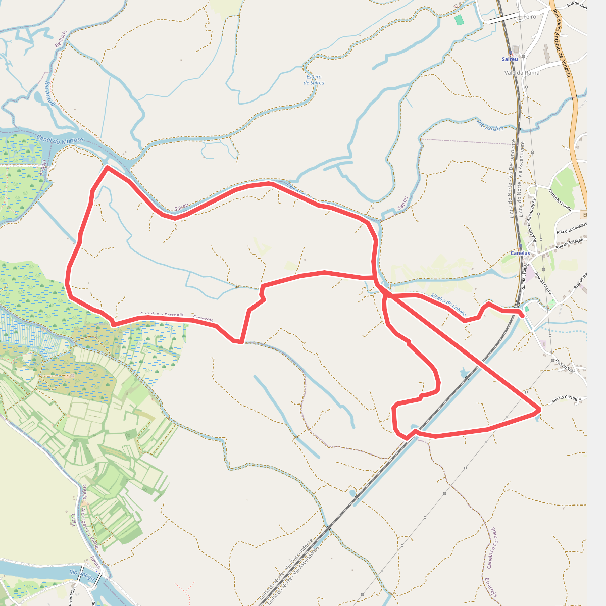
#3. Percurso de Fermelã
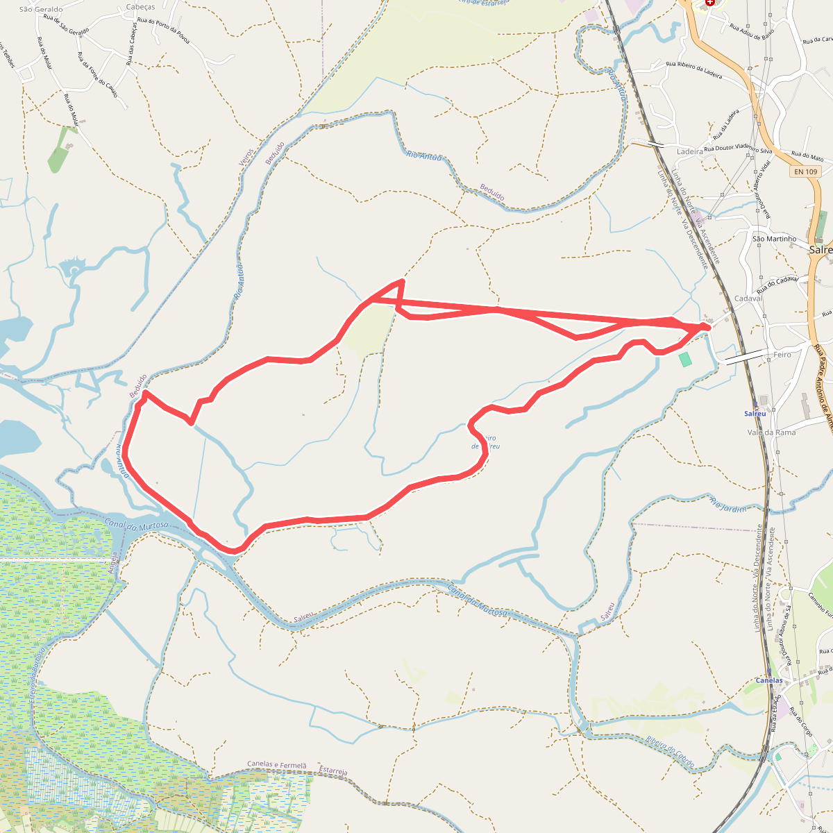
#4. Percurso de Salreu
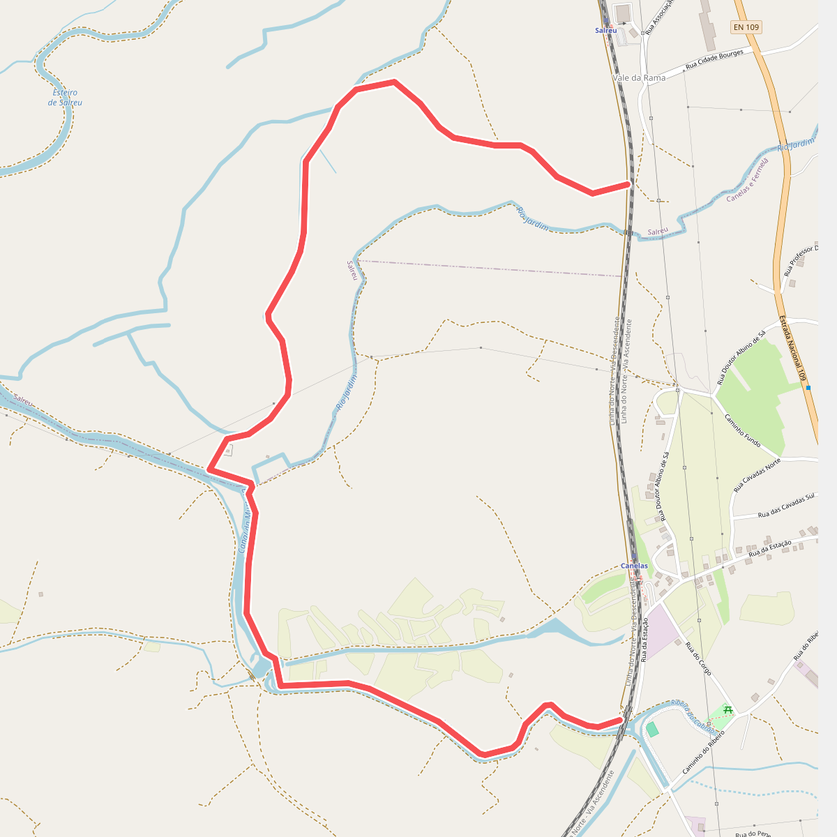
#5. Percurso do Bocage
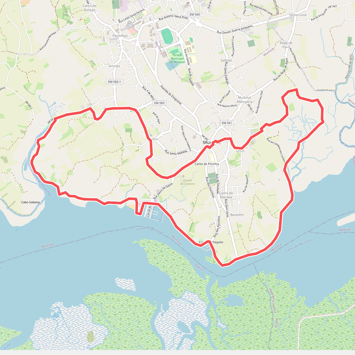
#6. Percurso do Canal da Murtosa
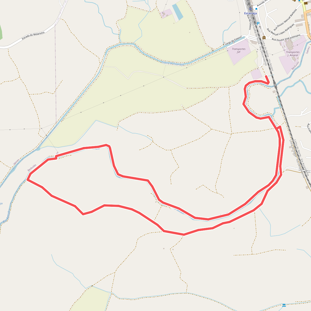
#7. Percurso do Rio Antuã
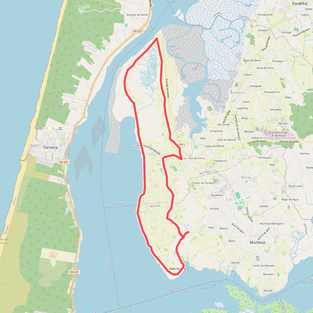
#8. Percurso dos Campos da Ria
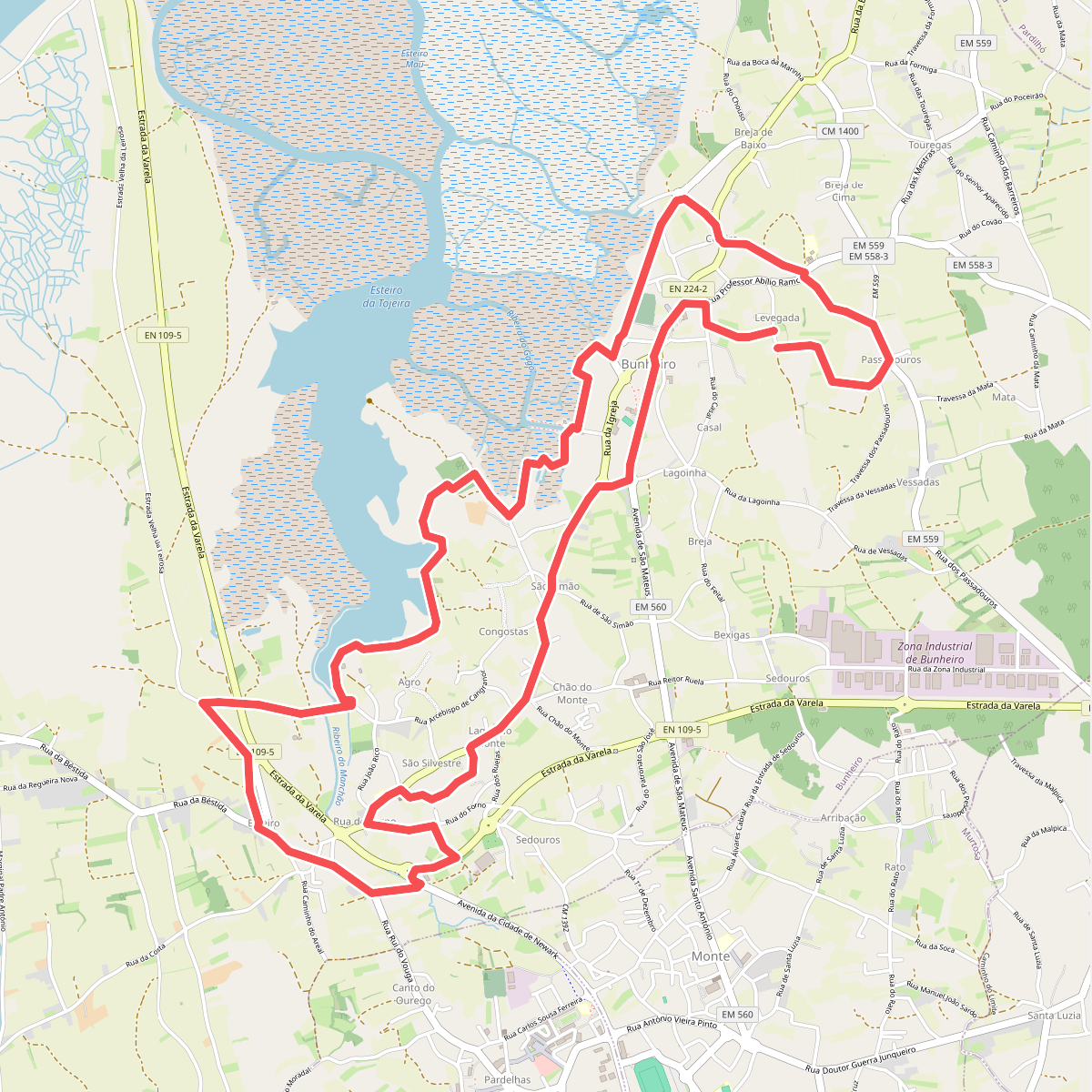
#9. Percurso Natural e Cultural do Bunheiro