

The best hiking routes in Parco Naturale delle Capanne di Marcarolo
Discover the best walks in Parco Naturale delle Capanne di Marcarolo. 27 routes on the map, with descriptions, photos and GPX.
Managed by Ente di gestione delle aree protette Appennino piemontese
About Parco Naturale delle Capanne di Marcarolo
Parco Naturale delle Capanne di Marcarolo presents a stark, almost metallic landscape that contrasts sharply with the softer, wooded Apennines nearby. The park is defined by its serpentine rock, a dark green and black stone that prevents dense forest growth and leaves the ridges bare and rocky. Underfoot, you will mostly walk on rough, stony tracks and loose scree, which require sturdy footwear. The vegetation is sparse, consisting of resilient grasses, gorse, and stunted pines that survive on the thin, mineral-rich soil.
Read more
About Parco Naturale delle Capanne di Marcarolo
Parco Naturale delle Capanne di Marcarolo presents a stark, almost metallic landscape that contrasts sharply with the softer, wooded Apennines nearby. The park is defined by its serpentine rock, a dark green and black stone that prevents dense forest growth and leaves the ridges bare and rocky. Underfoot, you will mostly walk on rough, stony tracks and loose scree, which require sturdy footwear. The vegetation is sparse, consisting of resilient grasses, gorse, and stunted pines that survive on the thin, mineral-rich soil.
Read moreParco Naturale delle Capanne di Marcarolo presents a stark, almost metallic landscape that contrasts sharply with the softer, wooded Apennines nearby. The park is defined by its serpentine rock, a dark green and black stone that prevents dense forest growth and leaves the ridges bare and rocky. Underfoot, you will mostly walk on rough, stony tracks and loose scree, which require sturdy footwear. The vegetation is sparse, consisting of resilient grasses, gorse, and stunted pines that survive on the thin, mineral-rich soil.
Water is a constant presence, though it behaves differently depending on where you walk. In the deeper valleys, the Gorzente and Piota torrents have carved steep, rocky gorges with deep pools, while the higher ground features artificial lakes like the Laghi della Lavagnina. The paths alternate between exposed, dry ridges where the dark rock absorbs the heat, and damp, shaded ravines where small streams cut across the trail. It is a landscape of sharp transitions, where a dry, barren hillside can suddenly drop into a humid, wooded gully.
This area is not a place for gentle, flat meadow walks or high alpine peaks. The terrain is rugged, uneven, and often steep, with constant short climbs and descents over bare rock. While the lower paths near the trailheads can attract local swimmers and walkers in July and August, the higher, more remote paths toward Monte delle Figne remain quiet and demanding. You should expect open, sun-exposed trails with very little natural shade for most of the day.
Hiking routes in Parco Naturale delle Capanne di Marcarolo (27)
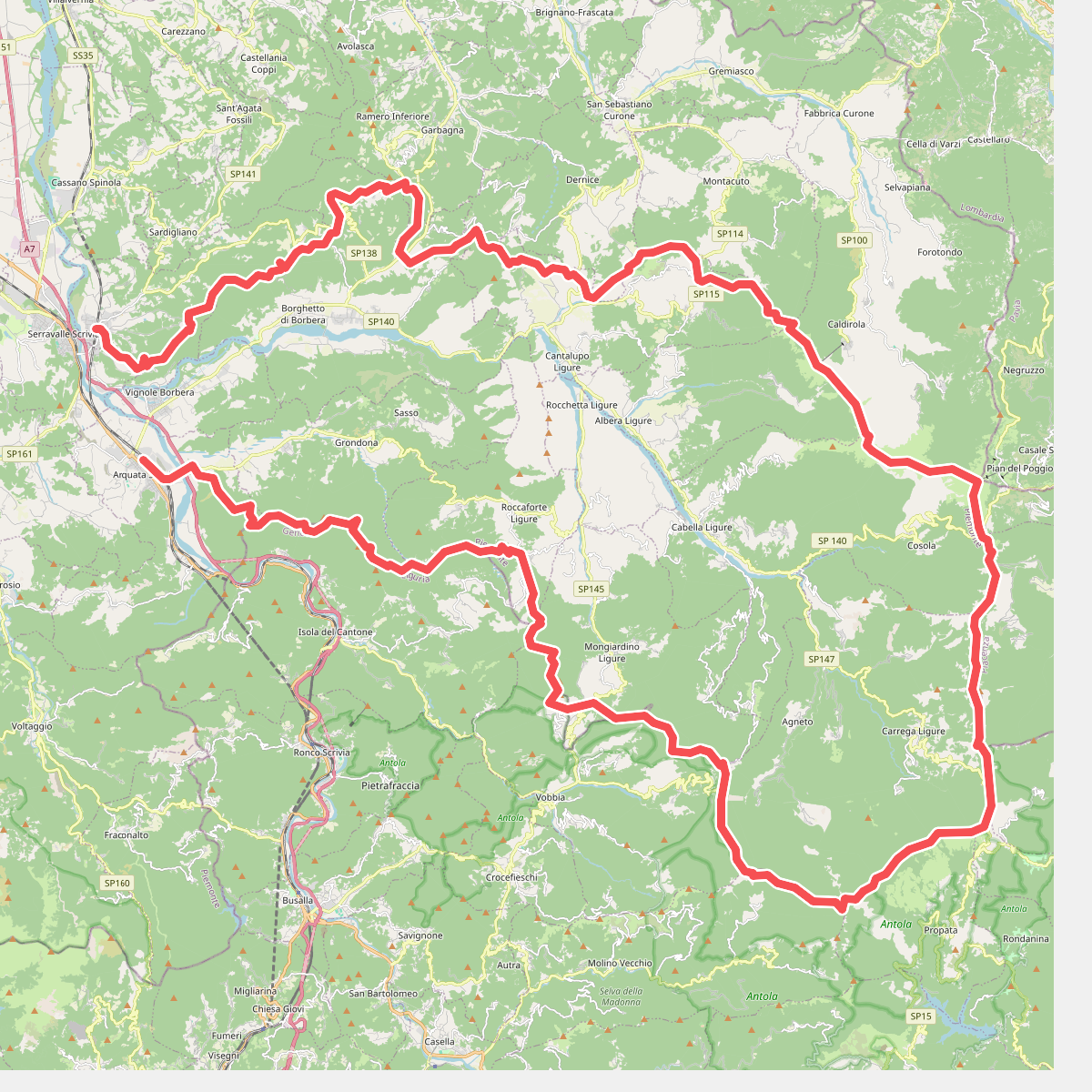
#1. Anello Borbera - Spinti
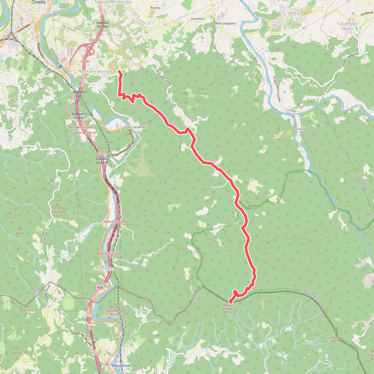
#2. Belforte Monferrato - Monte Colma
Belforte Monferrato,Tagliolo Monferrato
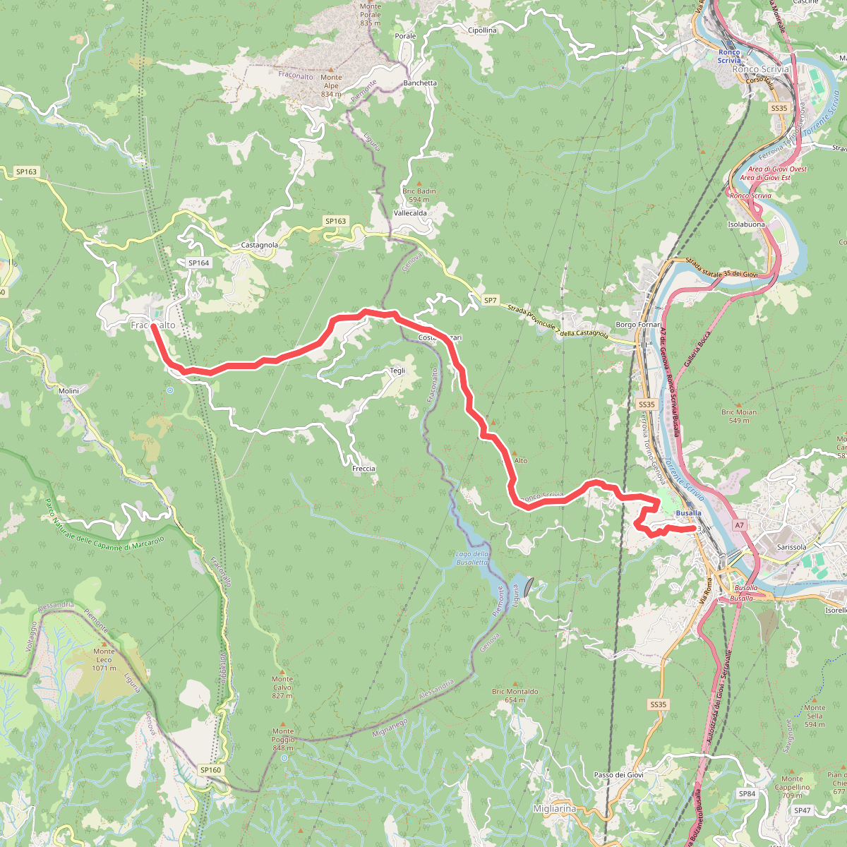
#3. Busalla - Fraconalto
Busalla,Ronco Scrivia,Fraconalto
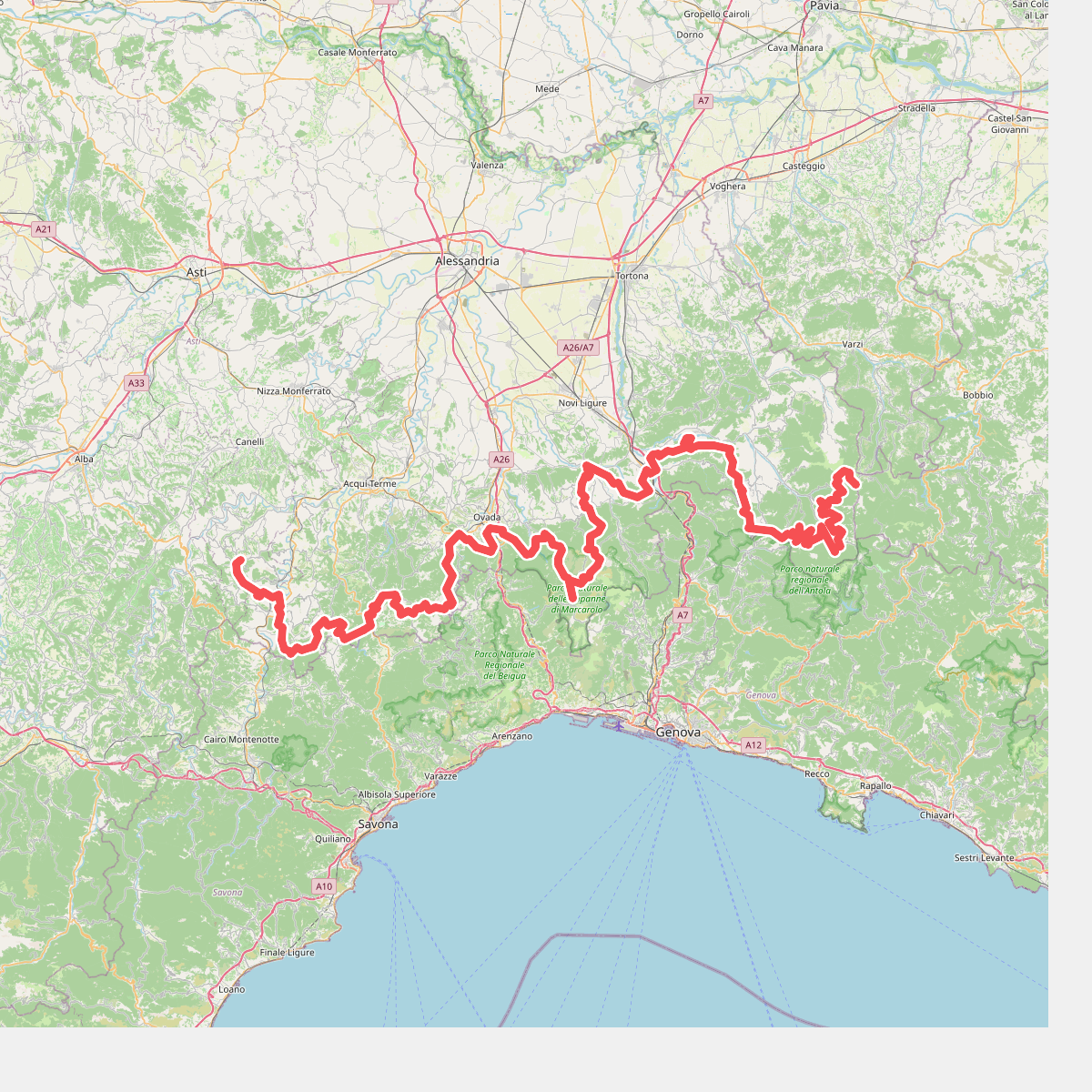
#4. Cammino Piemonte Sud
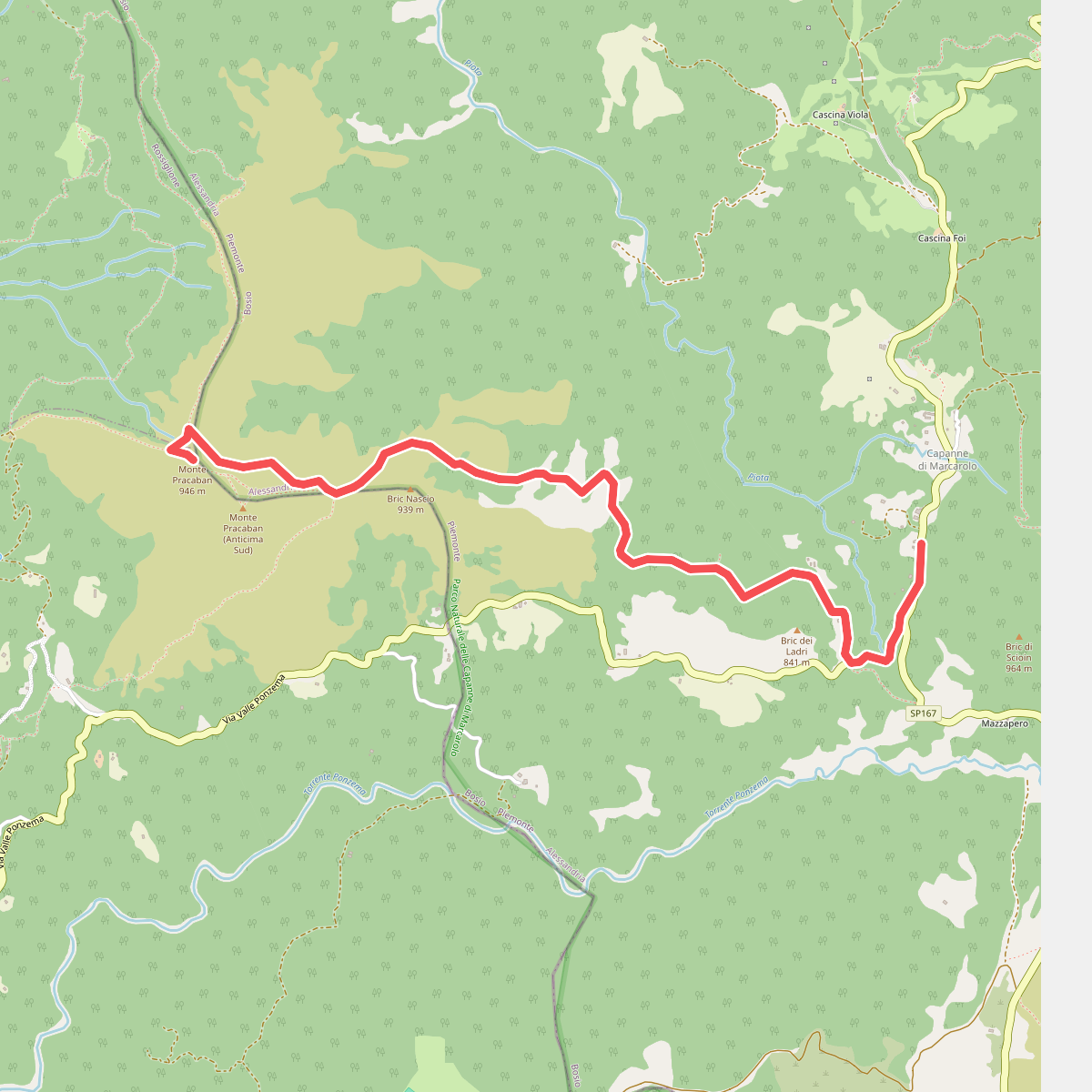
#5. Capanne di Marcarolo - Monte Pracaban
Campo Ligure,Bosio
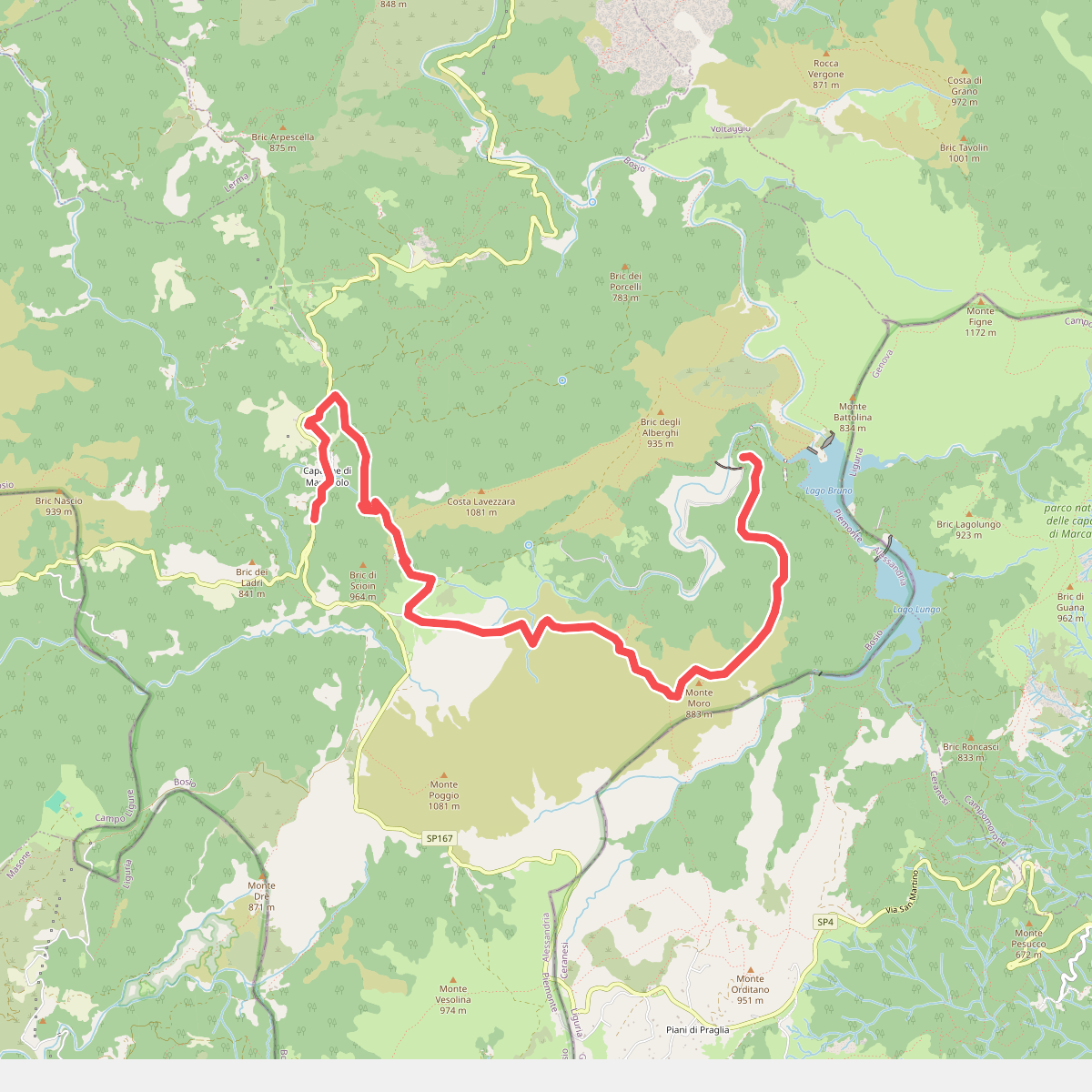
#6. Capanne Marcarolo - Capanne Superiori Marcarolo
Bosio

#7. Cascina Magnoni - Fontanasse
Tagliolo Monferrato,Rossiglione
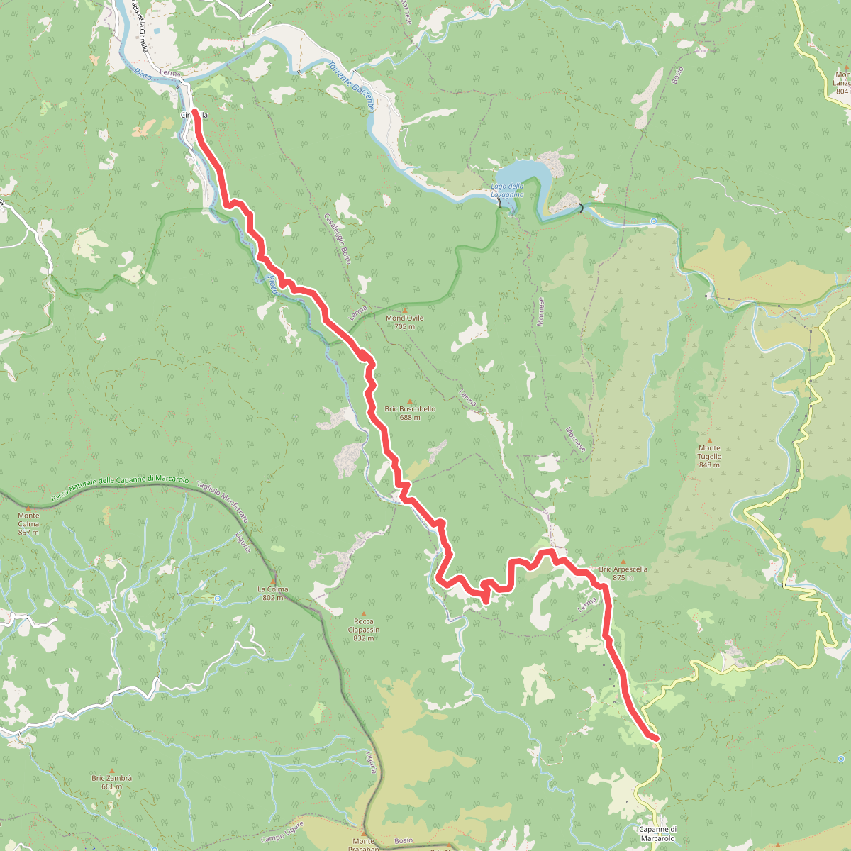
#8. Cirimilla - Cascina Fuia - Capanne di Marcarolo
Lerma,Casaleggio Boiro,Bosio
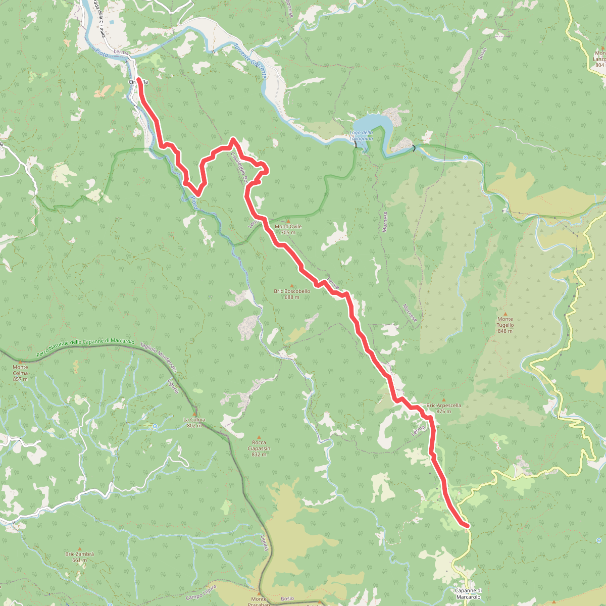
#9. Cirimilla - Cascina Maggie - Capanne di Marcarolo
Lerma,Casaleggio Boiro,Bosio
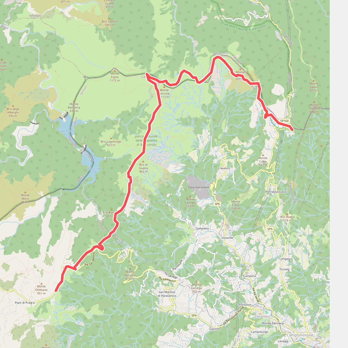
#10. Colla di Praglia - Passo della Bocchetta
Ceranesi,Campomorone,Voltaggio
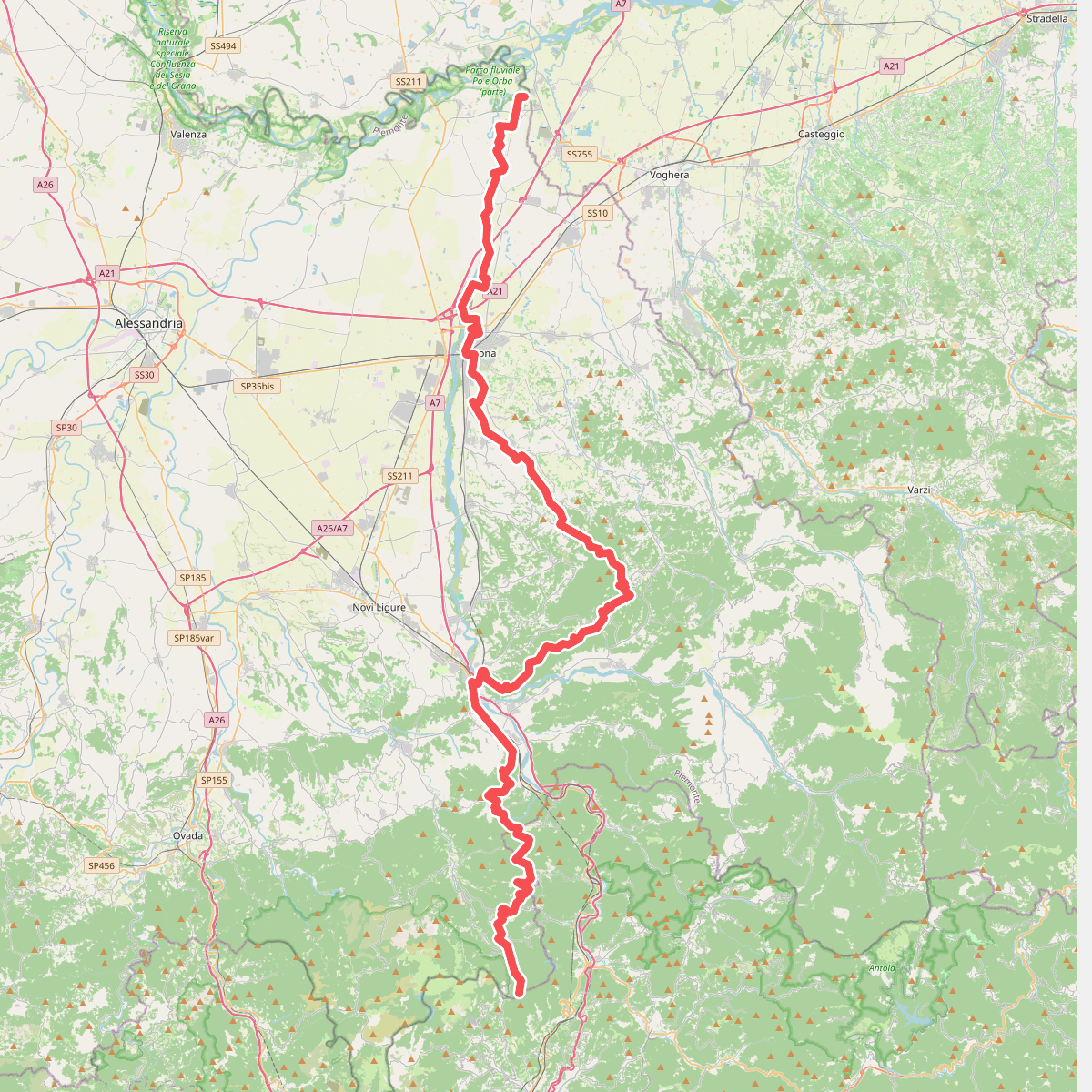
#11. European Long distance path E1 - part Italy - Piedmont
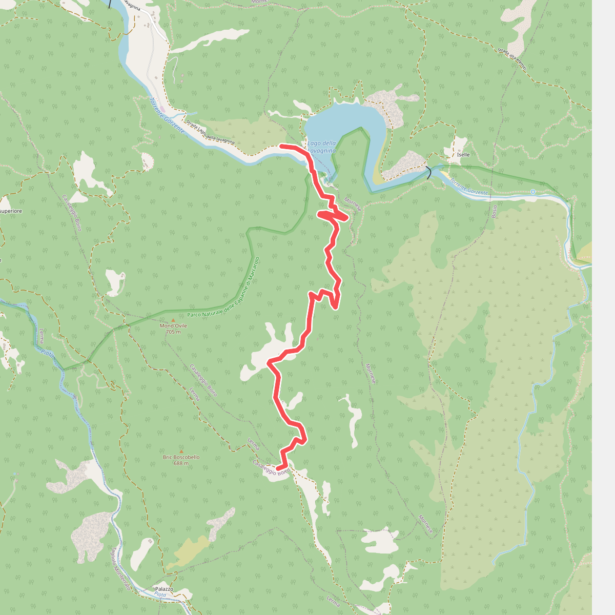
#12. Laghi Lavagnina - C. Lombardo
Casaleggio Boiro



