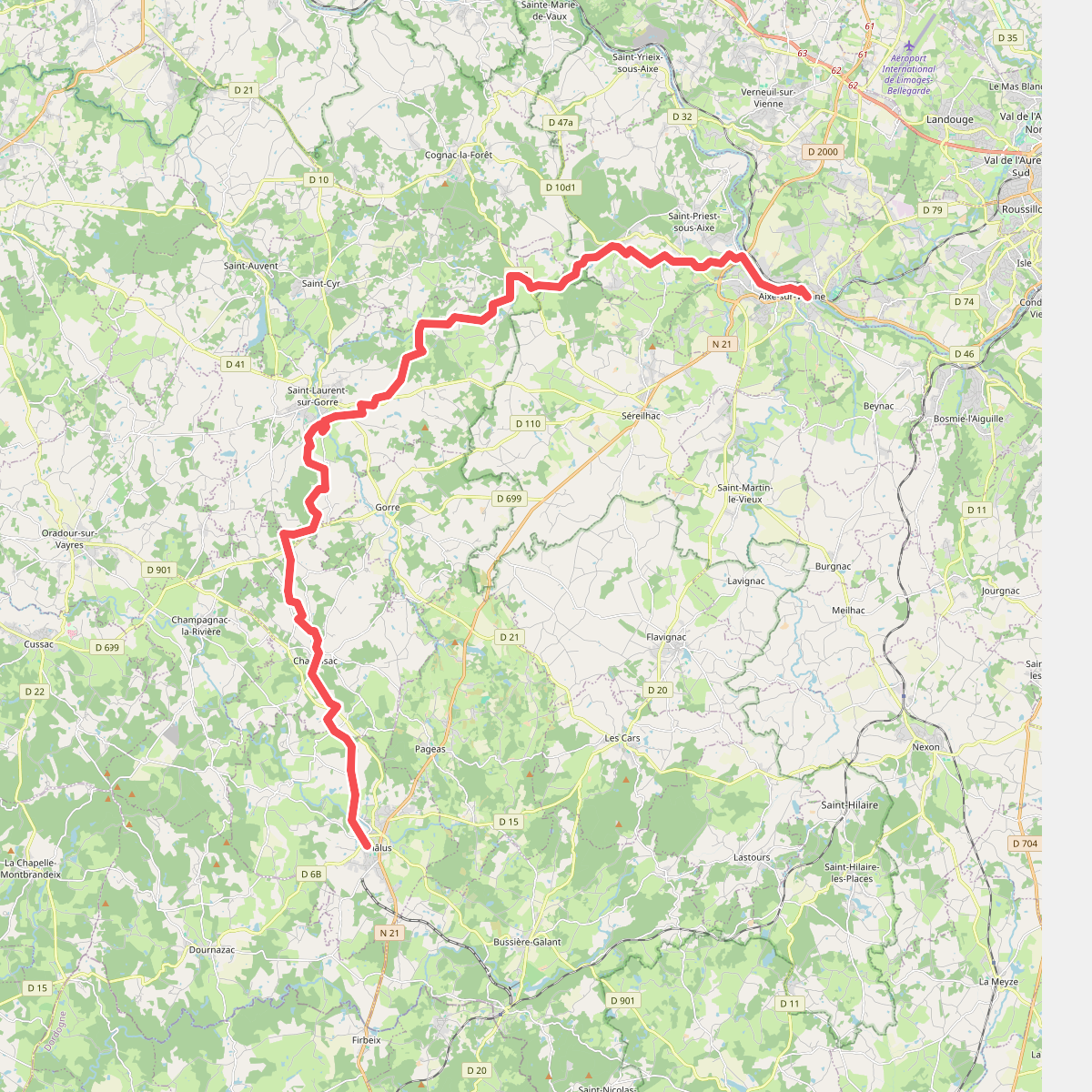
The best hiking routes in Parc naturel régional Périgord-Limousin
Discover the best walks in Parc naturel régional Périgord-Limousin. 4 routes on the map, with descriptions, photos and GPX.
About Parc naturel régional Périgord-Limousin
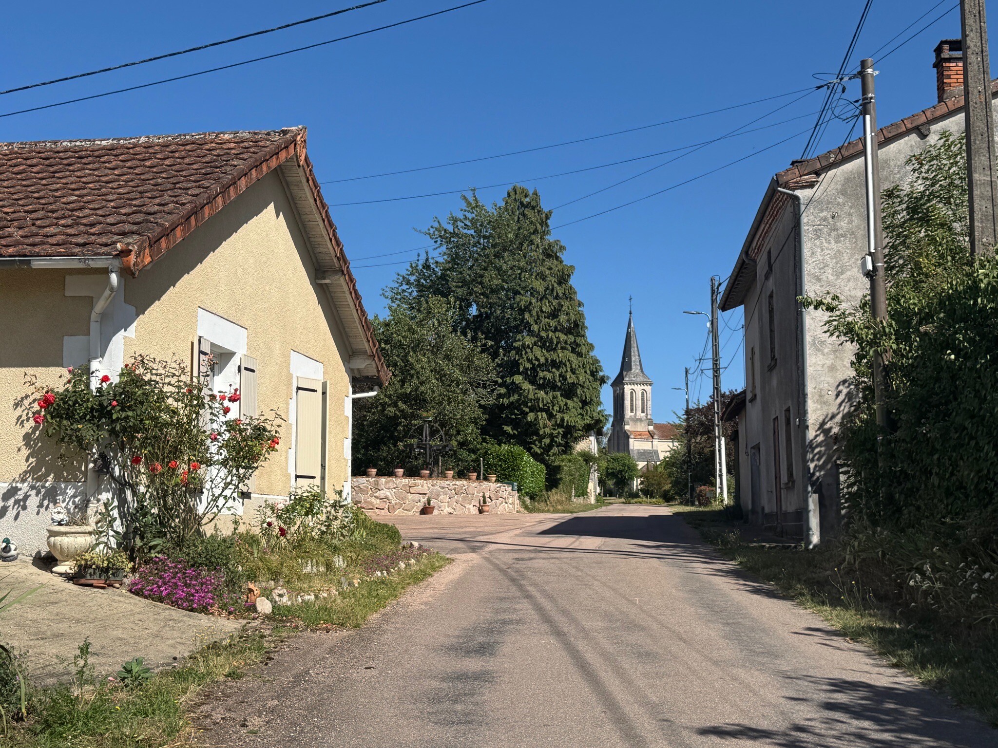
The Parc naturel régional Périgord-Limousin sits on the transition zone between the granite of the Massif Central and the limestone plateaus of the Aquitaine basin. This geological shift is visible underfoot. In the north and east, you walk on damp, acidic soils where chestnut forests, meadows, and rushing streams dominate. To the south, the landscape flattens into dry, pale limestone hills covered in downy oak woodlands and dry grasslands. This is a gently rolling countryside of bocage hedges and small-scale farming, with no dramatic gorges or high peaks.
Read more
About Parc naturel régional Périgord-Limousin
The Parc naturel régional Périgord-Limousin sits on the transition zone between the granite of the Massif Central and the limestone plateaus of the Aquitaine basin. This geological shift is visible underfoot. In the north and east, you walk on damp, acidic soils where chestnut forests, meadows, and rushing streams dominate. To the south, the landscape flattens into dry, pale limestone hills covered in downy oak woodlands and dry grasslands. This is a gently rolling countryside of bocage hedges and small-scale farming, with no dramatic gorges or high peaks.
Read moreThe Parc naturel régional Périgord-Limousin sits on the transition zone between the granite of the Massif Central and the limestone plateaus of the Aquitaine basin. This geological shift is visible underfoot. In the north and east, you walk on damp, acidic soils where chestnut forests, meadows, and rushing streams dominate. To the south, the landscape flattens into dry, pale limestone hills covered in downy oak woodlands and dry grasslands. This is a gently rolling countryside of bocage hedges and small-scale farming, with no dramatic gorges or high peaks.
Water is a constant presence on the northern trails, which often follow muddy clay tracks, damp woodland paths, and occasional boardwalks near peat bogs. In contrast, the southern limestone paths are firmer, stony, and lined with dry-stone walls. You will notice many ancient ironworking sites and small ponds, a legacy of the region's historic forge industry which relied on the local timber and water power.
While the park lacks a single, central mountain range, it offers a dense network of quiet, signposted rural paths. The busier spots tend to cluster around historic châteaux and river valleys, leaving the vast network of agricultural tracks and chestnut woods remarkably quiet for walkers seeking a low-key, rural landscape.
Hiking routes in Parc naturel régional Périgord-Limousin (4)
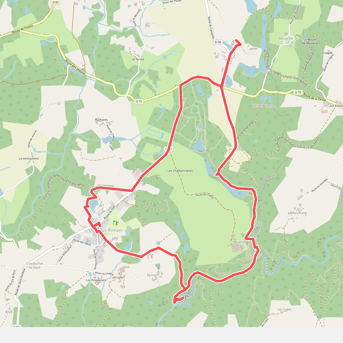
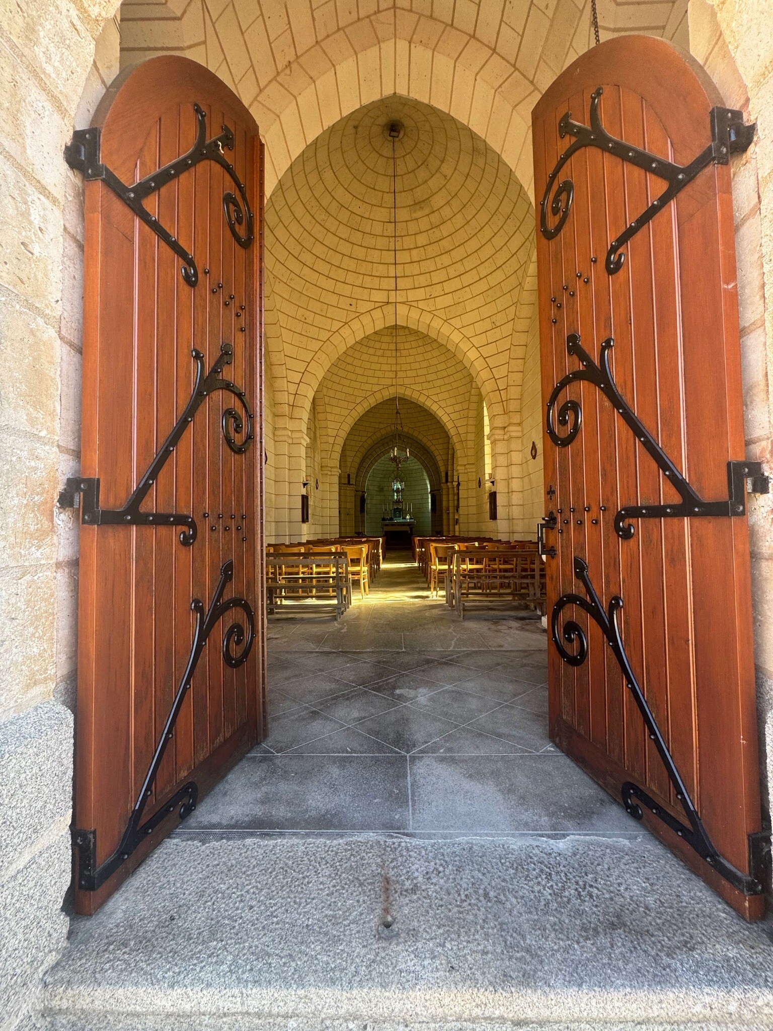
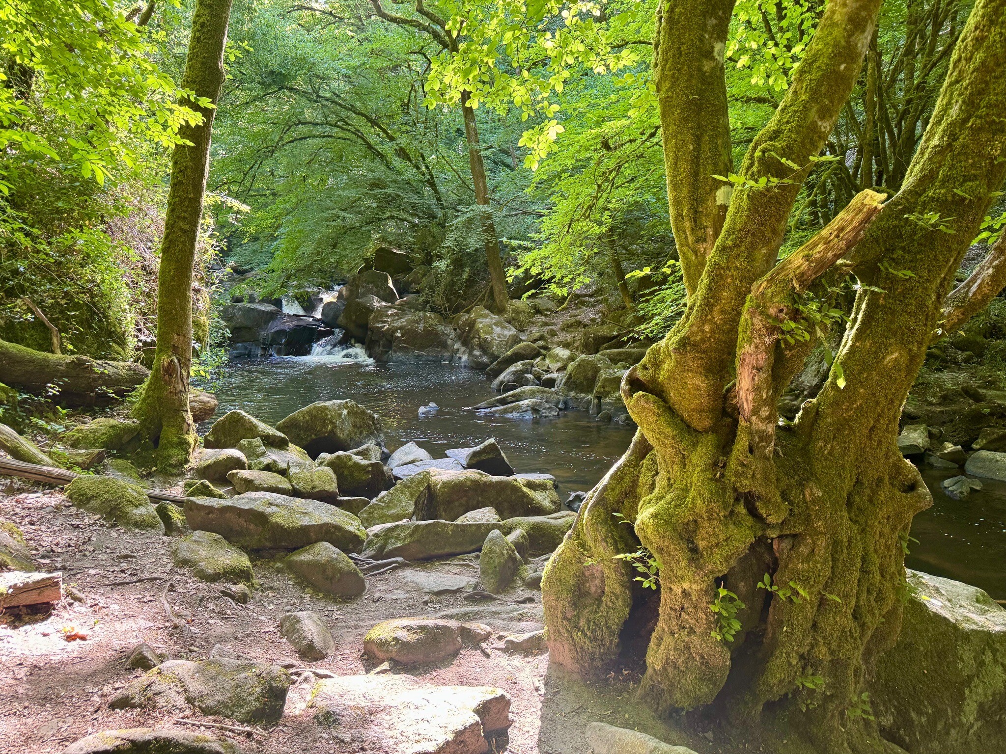
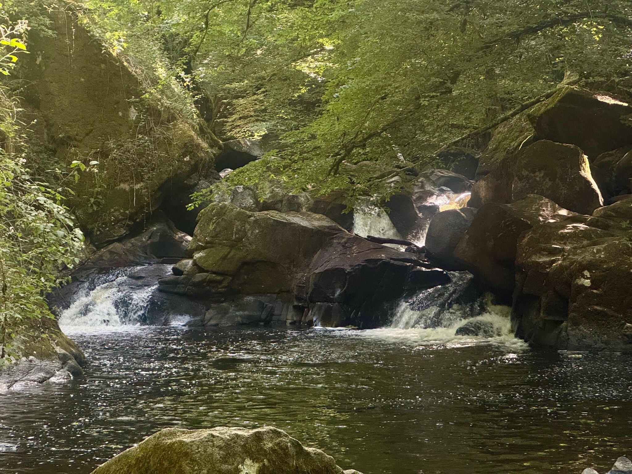
#1. Rondje vanaf Camping Le Verdoyer naar Le Saut Du Chalard
Champs-Romain
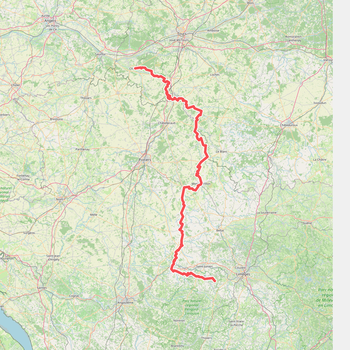
#2. De La Ribière à Chinon
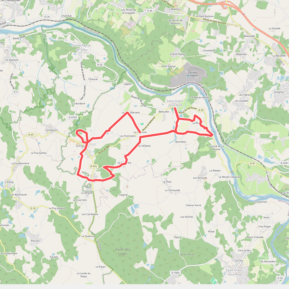
#3. Les Sentiers de Saint-Yrieix-sous-Aixe