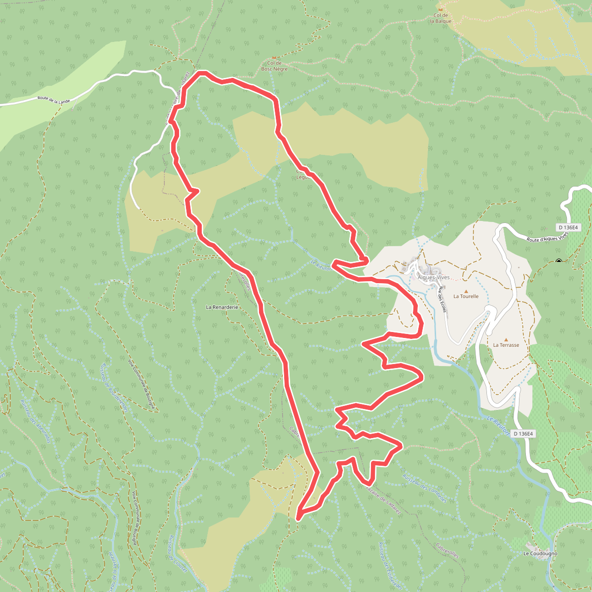
The best hiking routes in Parc naturel régional du Haut-Languedoc
Discover the best walks in Parc naturel régional du Haut-Languedoc. 114 routes on the map, with descriptions, photos and GPX.
About Parc naturel régional du Haut-Languedoc
The Parc naturel régional du Haut-Languedoc marks the southern end of the Massif Central, where Atlantic and Mediterranean influences meet. This climatic divide creates two distinct landscapes. In the western part, around the Lacaune mountains and the plateau of Somail, you walk through humid beech forests, dense spruce plantations, and peat bogs underfoot. East of this line, the terrain changes abruptly into dry, rocky Mediterranean scrub, characterized by holm oaks, sweet chestnut woods, and steep limestone gorges like the Gorges d'Héric.
Read more
About Parc naturel régional du Haut-Languedoc
The Parc naturel régional du Haut-Languedoc marks the southern end of the Massif Central, where Atlantic and Mediterranean influences meet. This climatic divide creates two distinct landscapes. In the western part, around the Lacaune mountains and the plateau of Somail, you walk through humid beech forests, dense spruce plantations, and peat bogs underfoot. East of this line, the terrain changes abruptly into dry, rocky Mediterranean scrub, characterized by holm oaks, sweet chestnut woods, and steep limestone gorges like the Gorges d'Héric.
Read moreThe Parc naturel régional du Haut-Languedoc marks the southern end of the Massif Central, where Atlantic and Mediterranean influences meet. This climatic divide creates two distinct landscapes. In the western part, around the Lacaune mountains and the plateau of Somail, you walk through humid beech forests, dense spruce plantations, and peat bogs underfoot. East of this line, the terrain changes abruptly into dry, rocky Mediterranean scrub, characterized by holm oaks, sweet chestnut woods, and steep limestone gorges like the Gorges d'Héric.
Walking here does not involve high alpine peaks, but rather a network of rugged granite plateaus, such as the Caroux massif, and rolling forested hills. Underfoot, the trails vary from soft, needle-covered forest tracks and damp peat paths in the west to loose shale, rough granite steps, and stony, exposed dirt tracks in the east. Navigating the steeper gorges requires steady footing on bare rock.
In October, the chestnut forests on the southern slopes turn a deep orange, marking the harvest season in villages like Olargues. While the popular gorge paths and panoramic viewpoints on the Caroux can attract many visitors, the vast forested tracks of the western plateaus remain much quieter.
Hiking routes in Parc naturel régional du Haut-Languedoc (114)
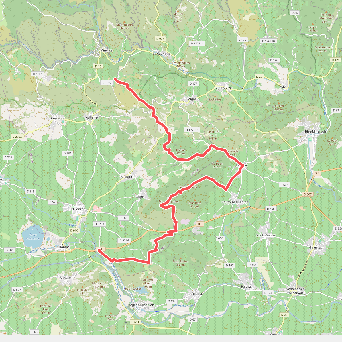
#1. ancien GR77
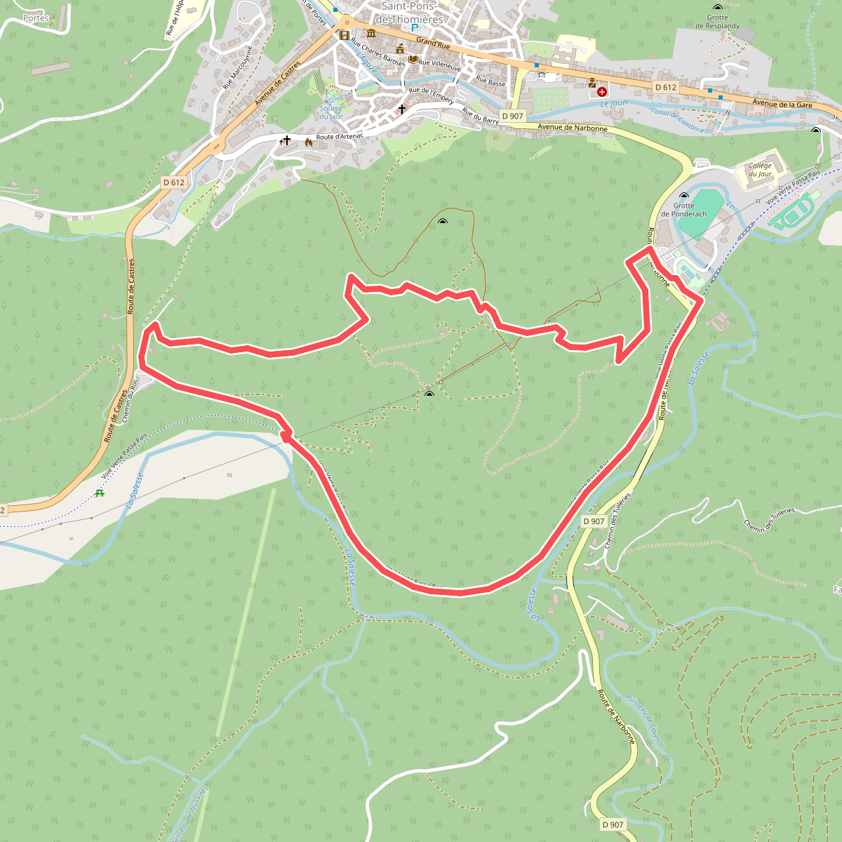
#2. Artenac
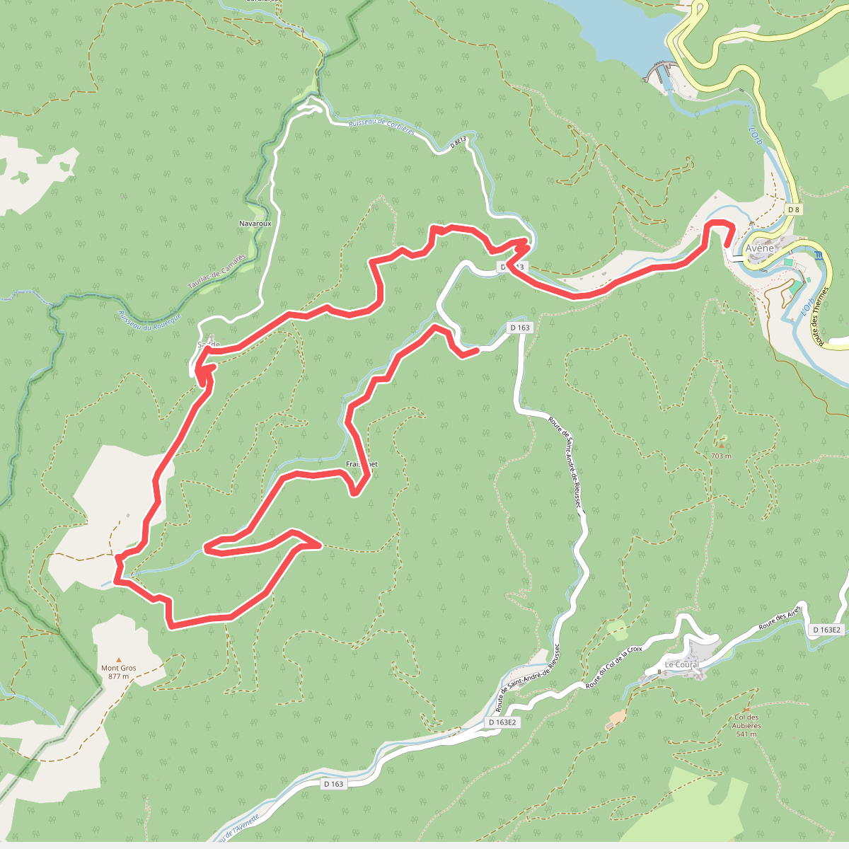
#3. Avène La Plaine de Sadde
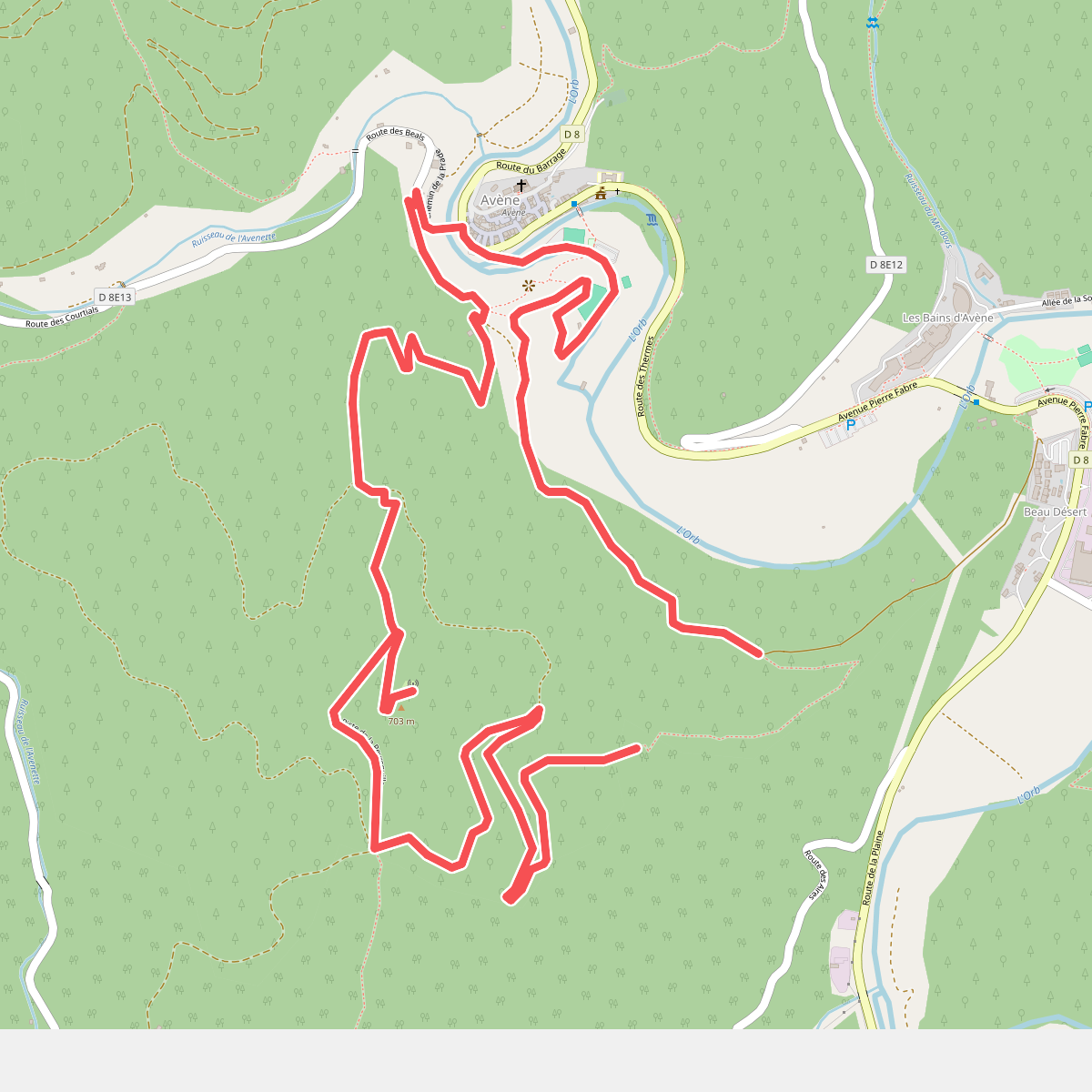
#4. Avène Peyreguille
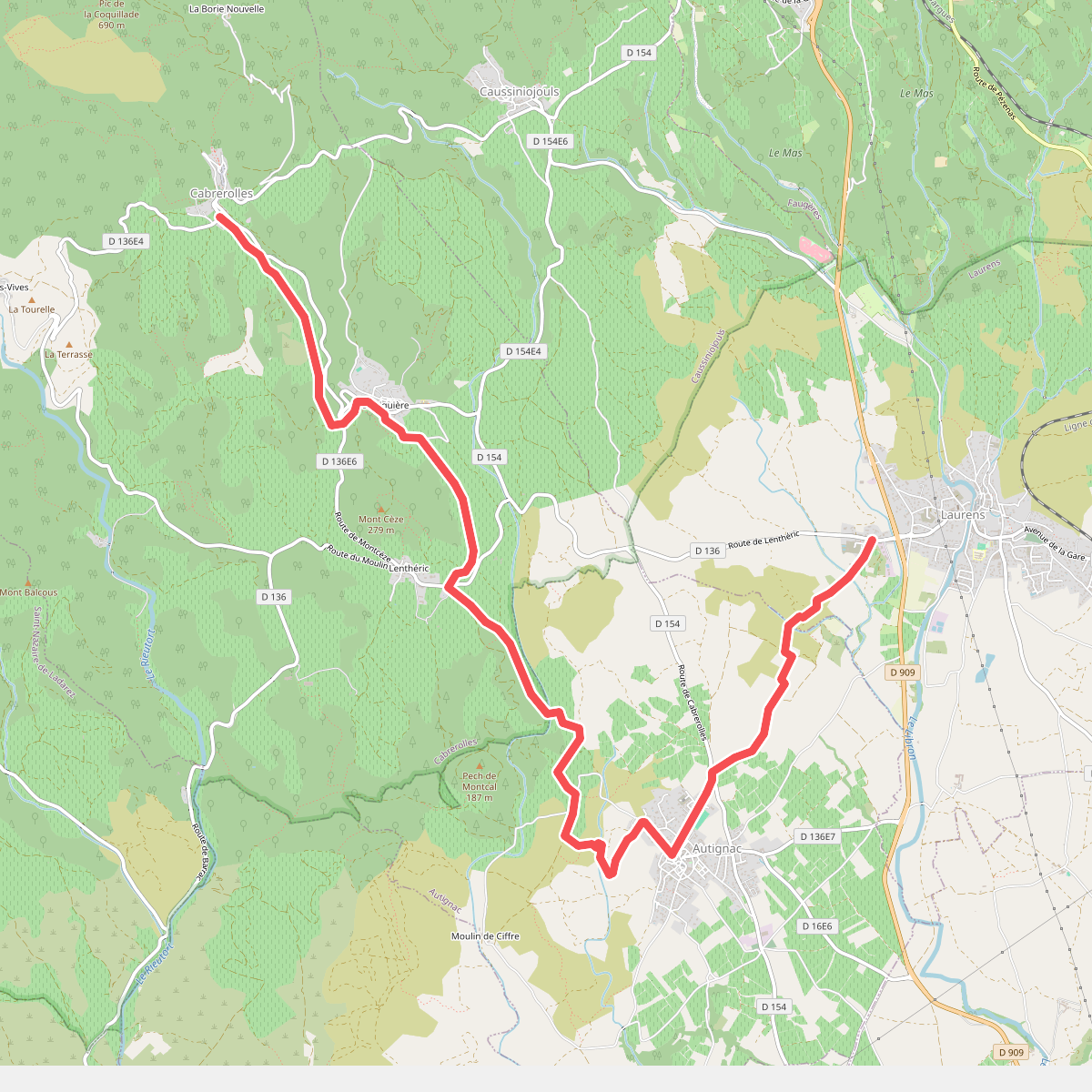
#5. Boucle de Faugères
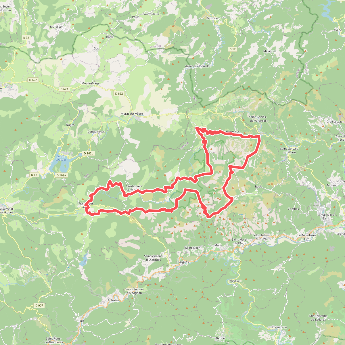
#6. Boucle de l'Espinouse
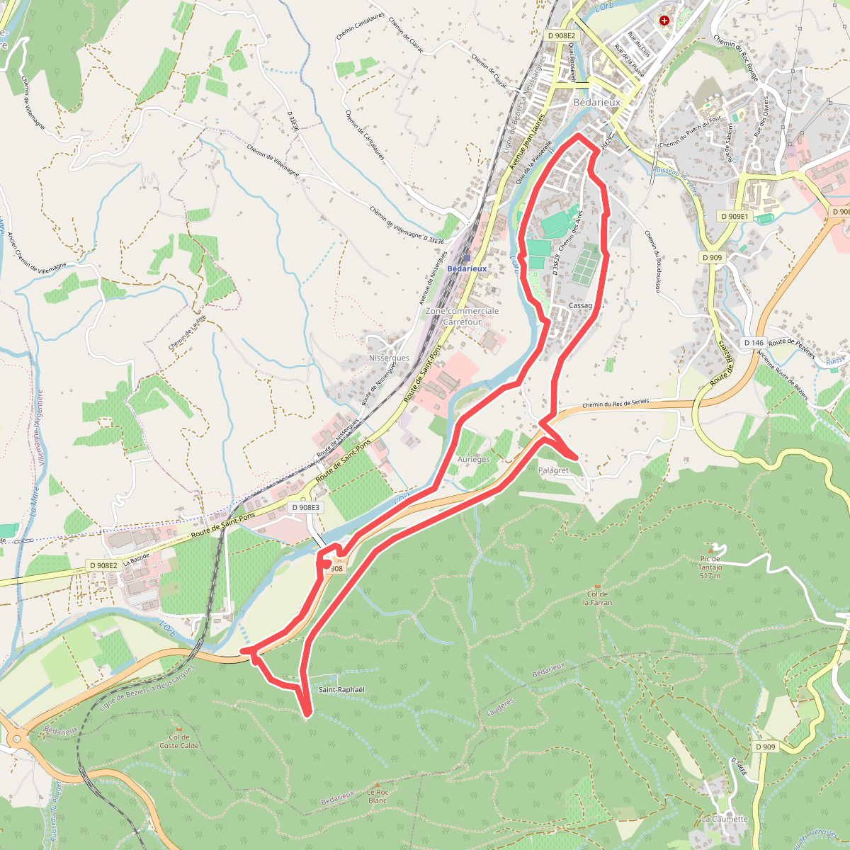
#7. Boucle d'Orb
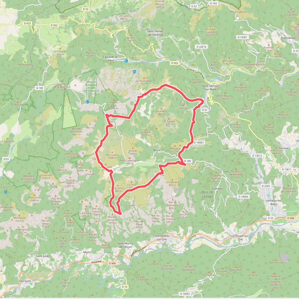
#8. Boucle du Caroux
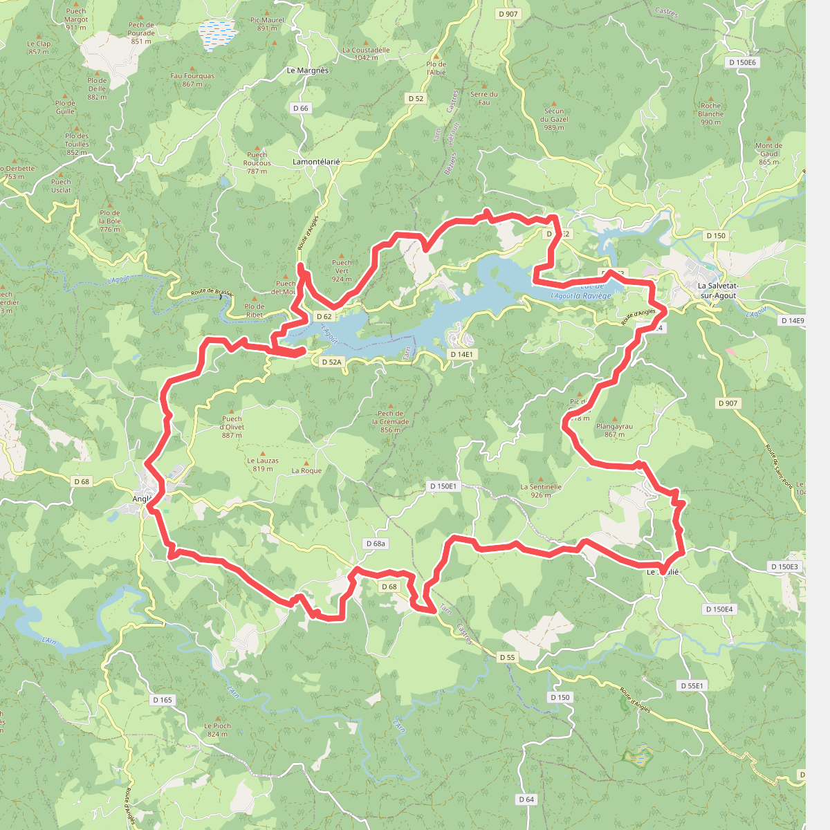
#9. Boucle du lac de la Raviège
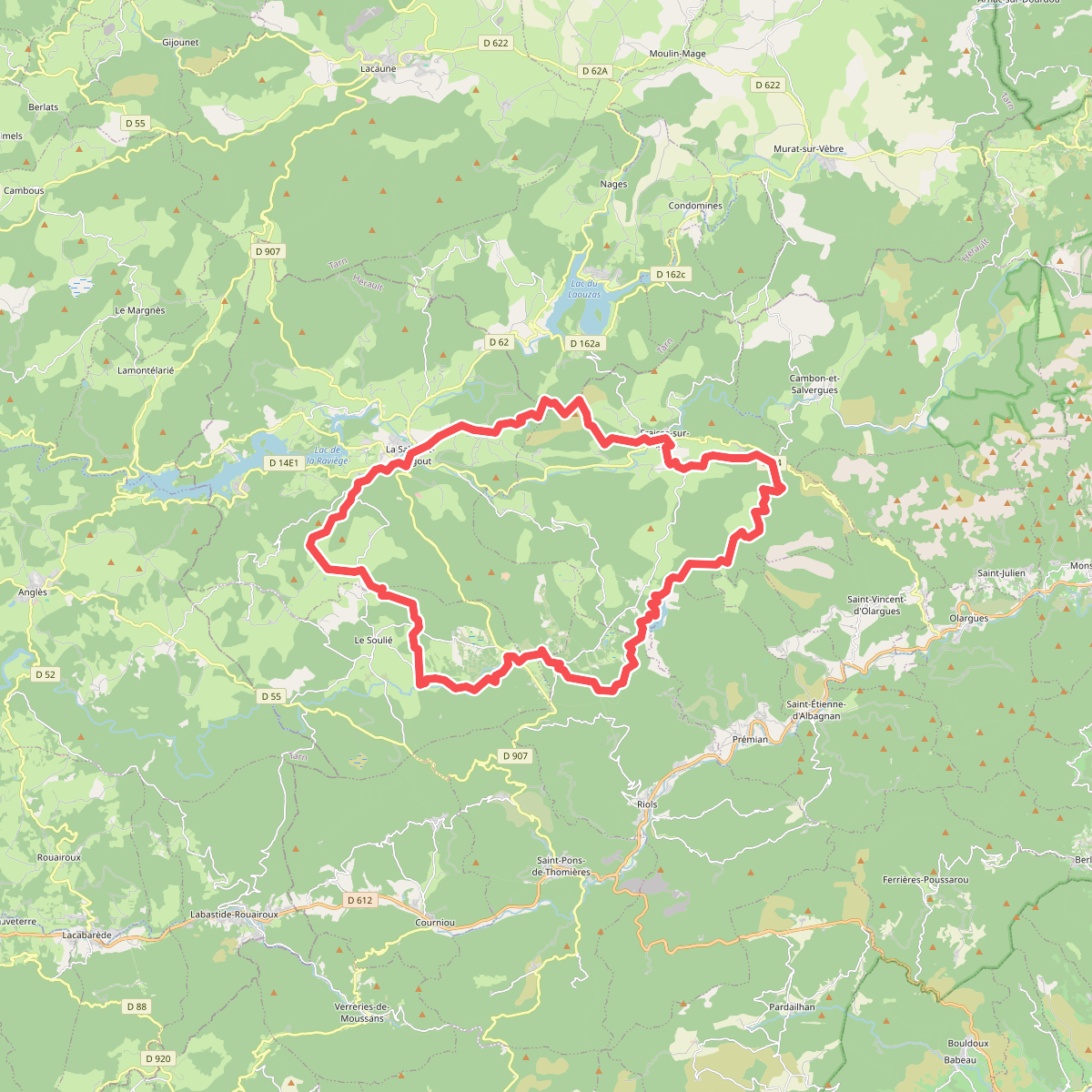
#10. Boucle du Somail
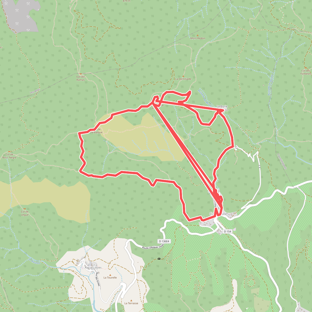
#11. Cabrerolles La Coquillade