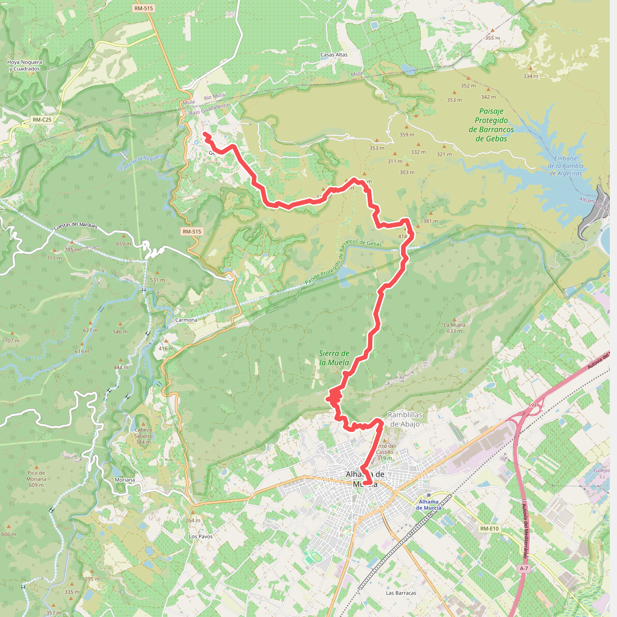
The best hiking routes in Paisaje Protegido de Barrancos de Gebas
Discover the best walks in Paisaje Protegido de Barrancos de Gebas. 6 routes on the map, with descriptions, photos and GPX.
Managed by Comunidad Autónoma de la Región de Murcia
About Paisaje Protegido de Barrancos de Gebas
The Paisaje Protegido de Barrancos de Gebas presents a stark, highly eroded badland landscape in the Murcia region. Walkers will find a terrain of deep, pale clay gullies, ravines, and sharp ridges carved by water erosion, which contrasts sharply with the turquoise waters of the Algeciras reservoir at its center. This is a dry, open environment where vegetation is sparse, consisting mainly of salt-loving shrubs, esparto grass, and occasional wild olive trees that manage to cling to the steep, crumbly slopes.
Read more
About Paisaje Protegido de Barrancos de Gebas
The Paisaje Protegido de Barrancos de Gebas presents a stark, highly eroded badland landscape in the Murcia region. Walkers will find a terrain of deep, pale clay gullies, ravines, and sharp ridges carved by water erosion, which contrasts sharply with the turquoise waters of the Algeciras reservoir at its center. This is a dry, open environment where vegetation is sparse, consisting mainly of salt-loving shrubs, esparto grass, and occasional wild olive trees that manage to cling to the steep, crumbly slopes.
Read moreThe Paisaje Protegido de Barrancos de Gebas presents a stark, highly eroded badland landscape in the Murcia region. Walkers will find a terrain of deep, pale clay gullies, ravines, and sharp ridges carved by water erosion, which contrasts sharply with the turquoise waters of the Algeciras reservoir at its center. This is a dry, open environment where vegetation is sparse, consisting mainly of salt-loving shrubs, esparto grass, and occasional wild olive trees that manage to cling to the steep, crumbly slopes.
Underfoot, the paths are predominantly dry clay, loose gravel, and packed earth tracks. Walking here involves navigating constant ascents and descents along the ridge lines, where the soil can be dusty and unstable under your boots. There are no shaded woodland trails or grassy meadows in this reserve; the experience is defined by exposed, sun-baked earth and the stark geometry of the ravines.
Choosing a route here depends on your comfort with steep, loose terrain. The lower paths near the reservoir edge offer a closer look at the water and the alluvial flats, while the higher tracks leading to the main viewpoints require steady footing on narrow, unprotected ridges. During the spring months of March and April, sparse wildflowers briefly color the grey-white clay, but for most of the year, the landscape remains a monochrome desert of earth and water.
Hiking routes in Paisaje Protegido de Barrancos de Gebas (6)
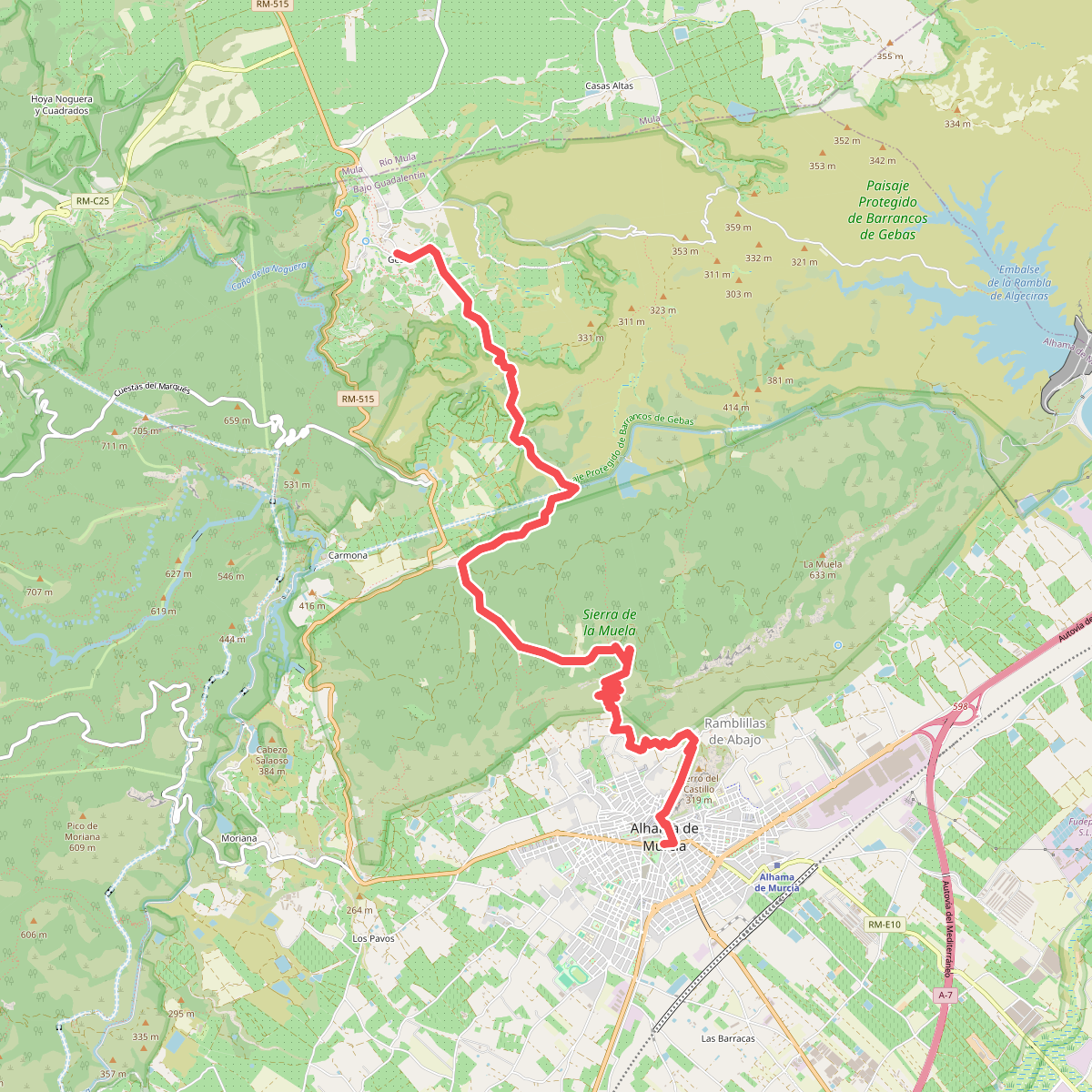
#1. Camino del Bajo Guadalentín
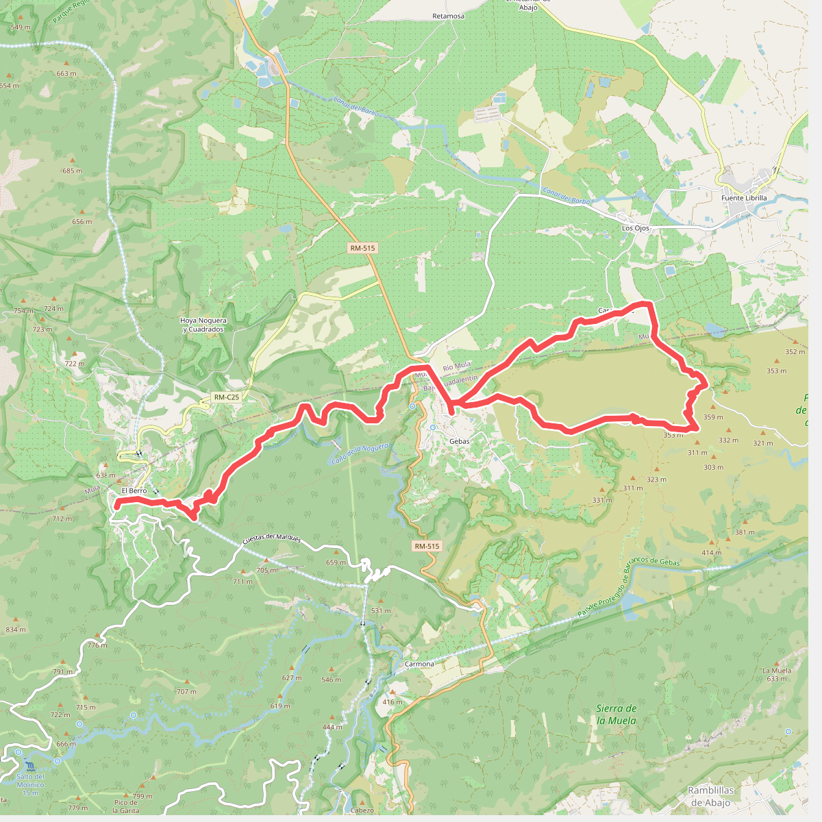
#2. Esputrek. Tramo 6 Gebas - El Berro
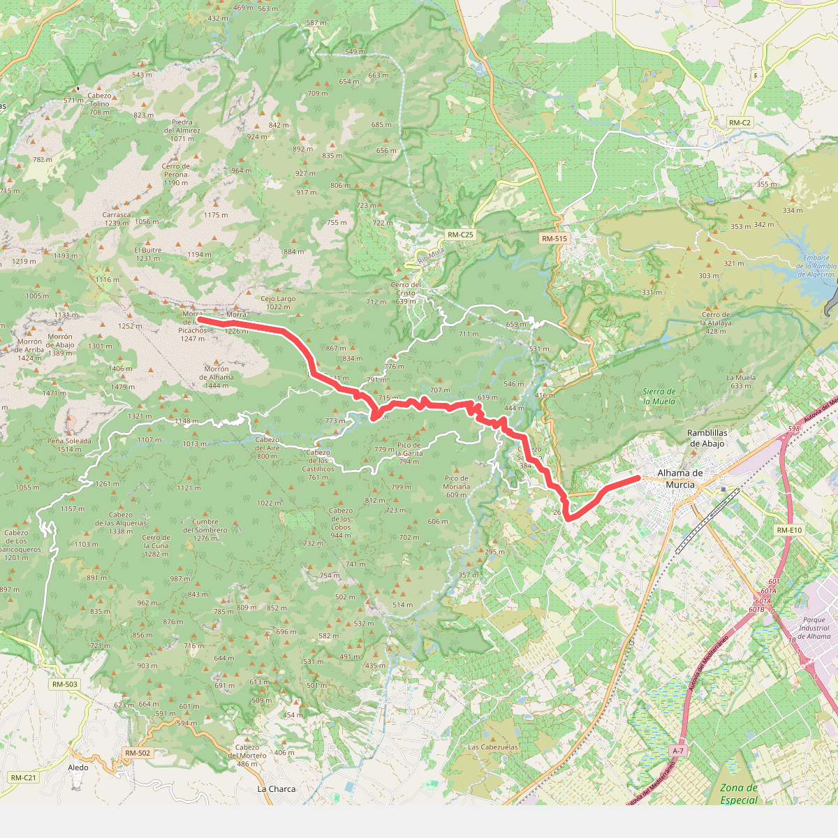
#3. Sendero de Baldomero Brugarolas
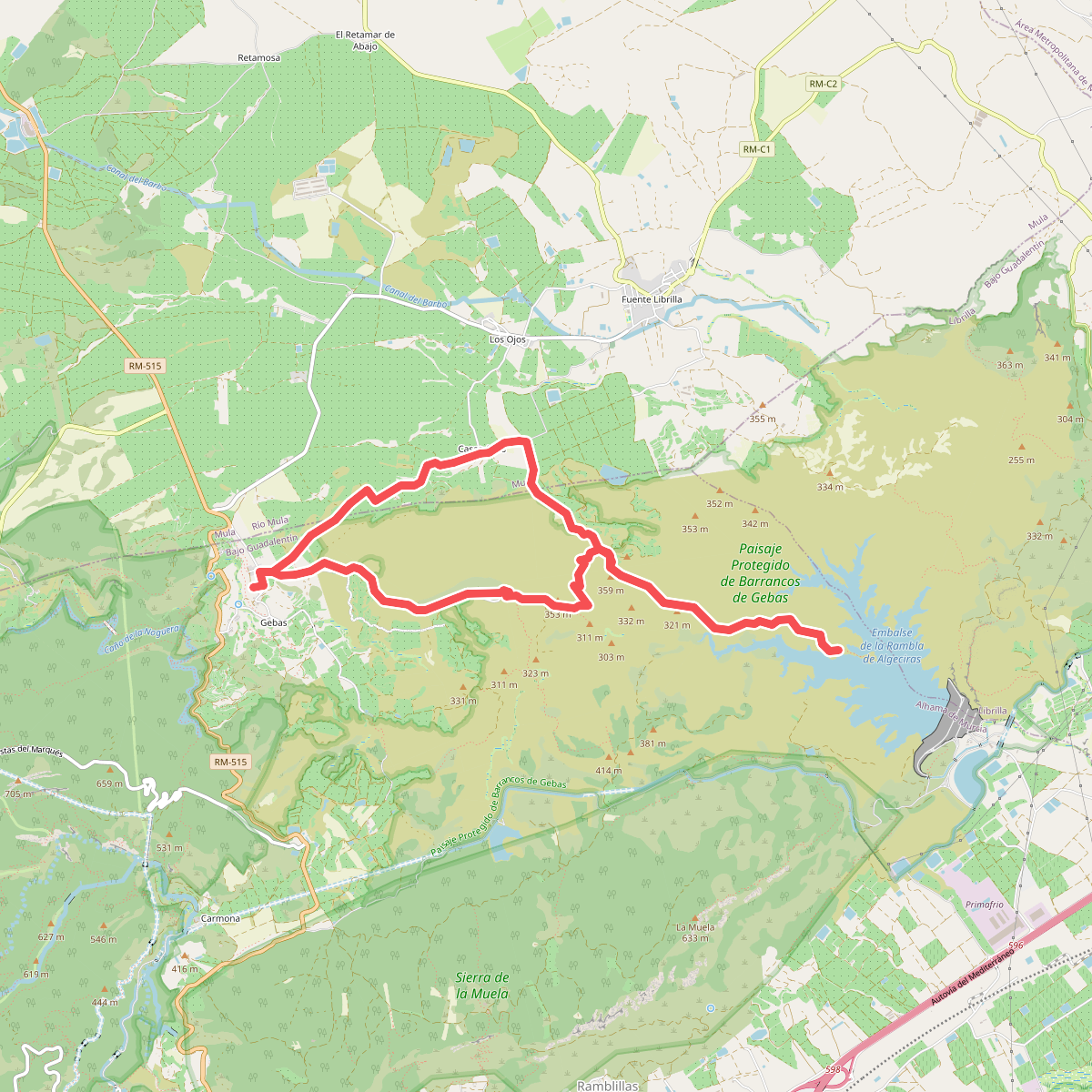
#4. Sendero de los Azagadores
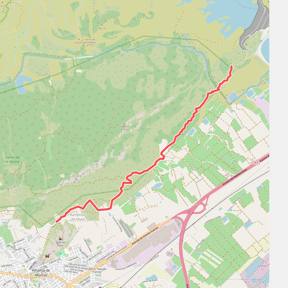
#5. Sendero del Camino de la Fuente del Borrego