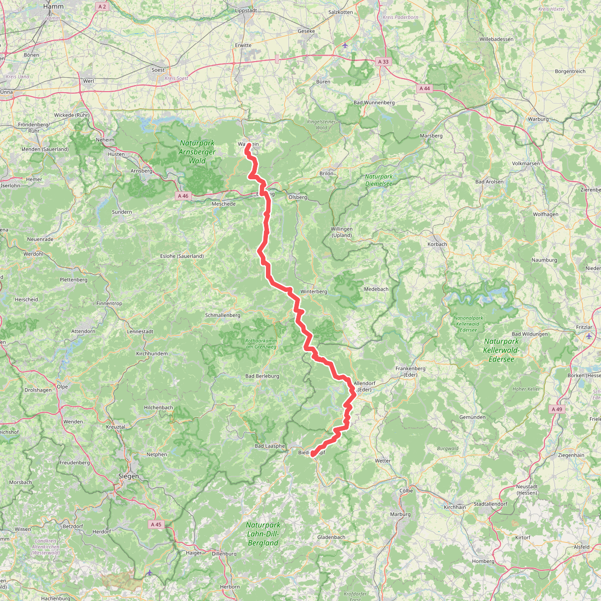
The best hiking routes in Naturpark Diemelsee
Discover the best walks in Naturpark Diemelsee. 15 routes on the map, with descriptions, photos and GPX.
About Naturpark Diemelsee
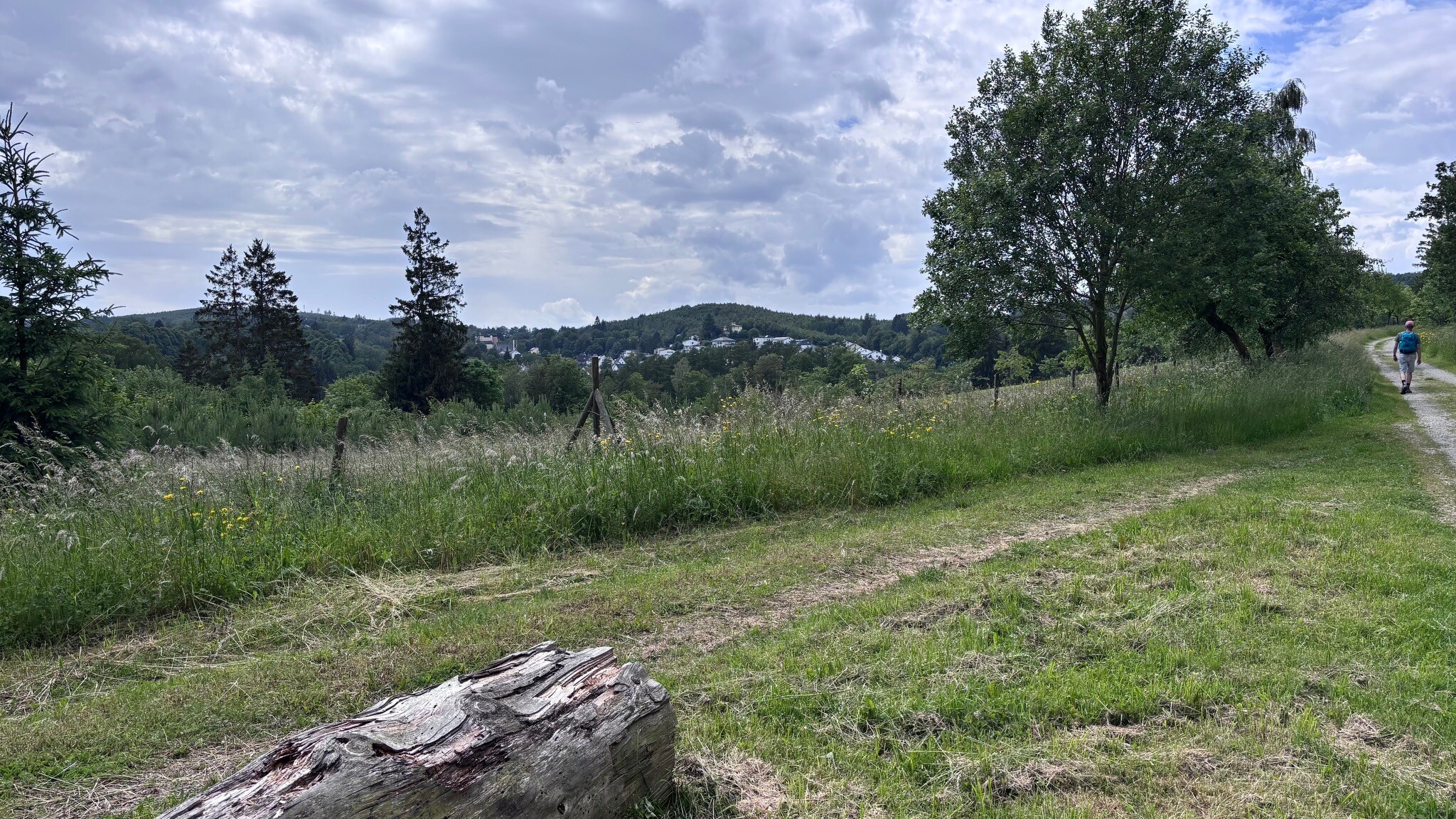
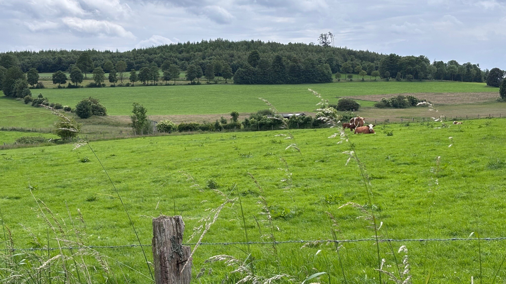
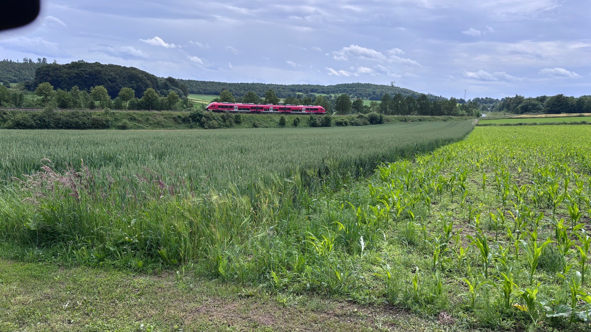
Naturpark Diemelsee is characterized by a transition from the forested, rounded hills of the Sauerland uplands to the open agricultural plateau around the central reservoir. Unlike flatter heathland parks, this area features steep, wooded slopes rising above narrow valleys, with elevations reaching up to eight hundred meters. The landscape is heavily shaped by forestry and water management, meaning walkers will constantly move between dense spruce and beech plantations, open meadows, and the artificial shoreline of the Diemelsee itself.
Read more
About Naturpark Diemelsee
Naturpark Diemelsee is characterized by a transition from the forested, rounded hills of the Sauerland uplands to the open agricultural plateau around the central reservoir. Unlike flatter heathland parks, this area features steep, wooded slopes rising above narrow valleys, with elevations reaching up to eight hundred meters. The landscape is heavily shaped by forestry and water management, meaning walkers will constantly move between dense spruce and beech plantations, open meadows, and the artificial shoreline of the Diemelsee itself.
Read moreNaturpark Diemelsee is characterized by a transition from the forested, rounded hills of the Sauerland uplands to the open agricultural plateau around the central reservoir. Unlike flatter heathland parks, this area features steep, wooded slopes rising above narrow valleys, with elevations reaching up to eight hundred meters. The landscape is heavily shaped by forestry and water management, meaning walkers will constantly move between dense spruce and beech plantations, open meadows, and the artificial shoreline of the Diemelsee itself.
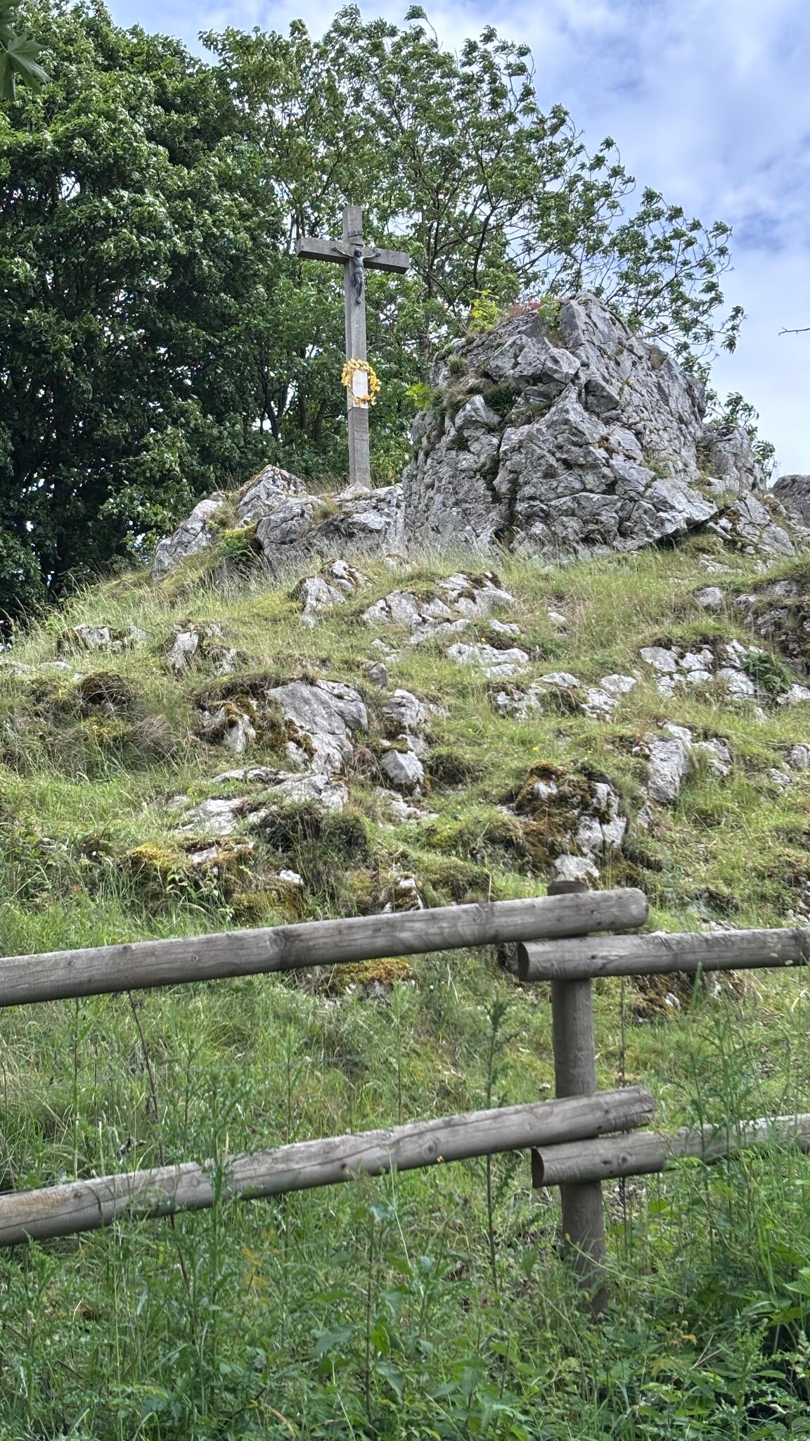
Underfoot, the paths vary from wide, gravel forest tracks designed for timber vehicles to narrow, earth-and-stone trails that climb the steeper ridges. Exposed slate and shale are common on the higher paths, particularly around the Koppen and Dommel hills, requiring steady footing. The shoreline path around the reservoir is mostly flat and paved or hard-packed gravel, offering a very different walking surface compared to the steep, muddy forest ascents nearby.
In autumn, particularly during October, the beech forests on the northern slopes turn deep red and gold, contrasting with the dark conifers. The reservoir itself dominates the central valley, and its water levels fluctuate significantly, exposing stony banks in dry periods. While the lakeside paths and the immediate vicinity of the dam can become busy with day-trippers, the upland trails heading into the upland forests toward the southern boundary remain much quieter.
Hiking routes in Naturpark Diemelsee (15)
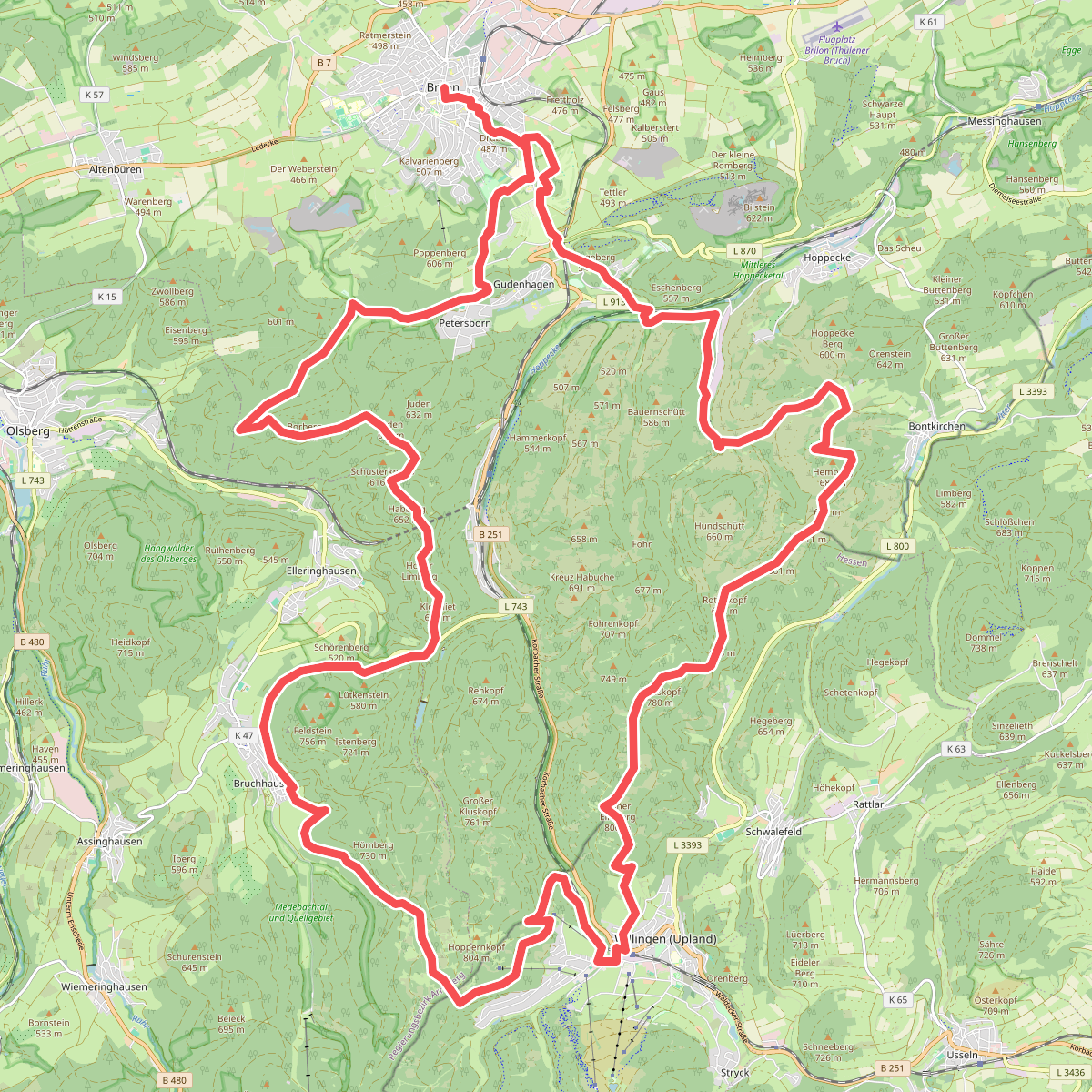
#1. Briloner Kammweg
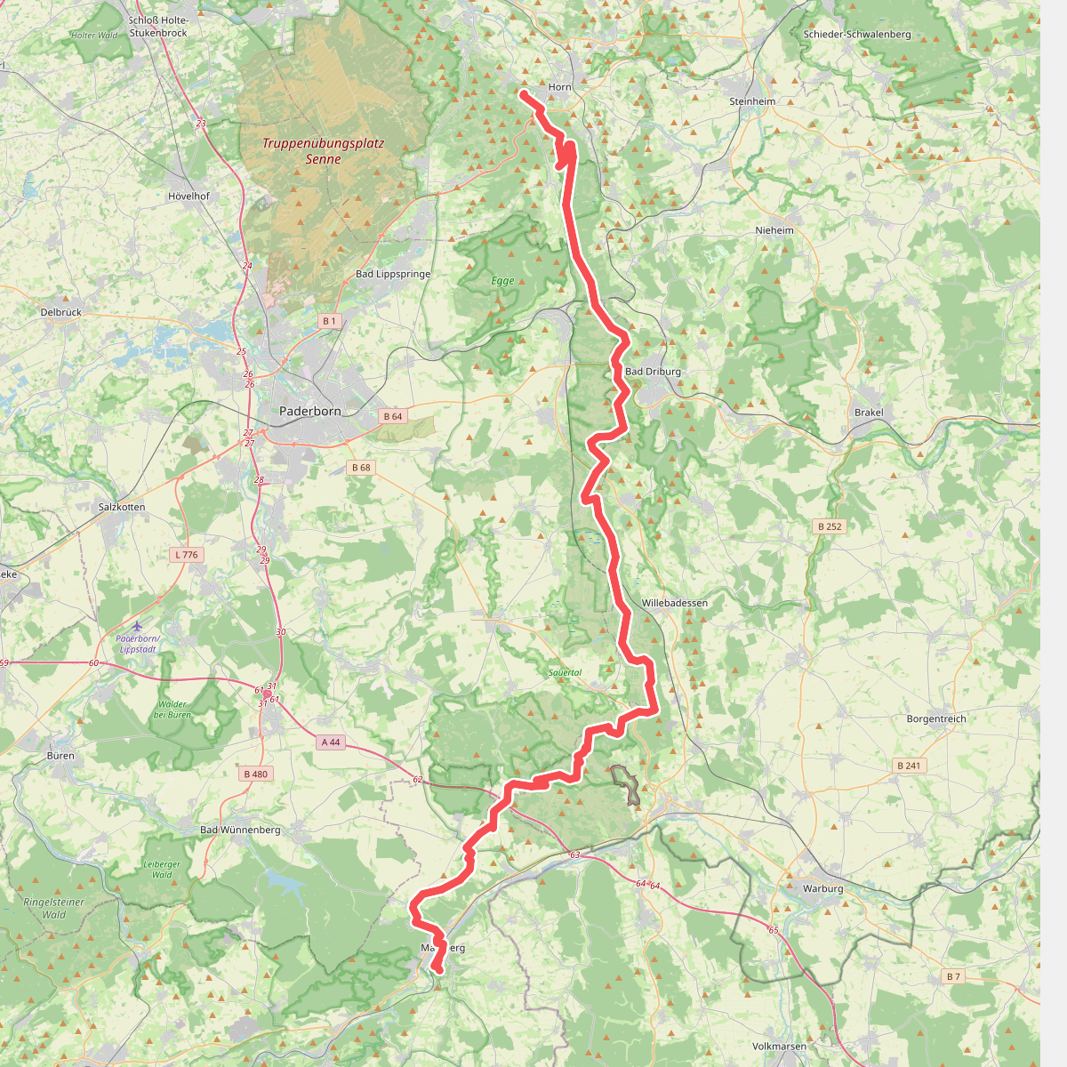
#2. Eggeweg
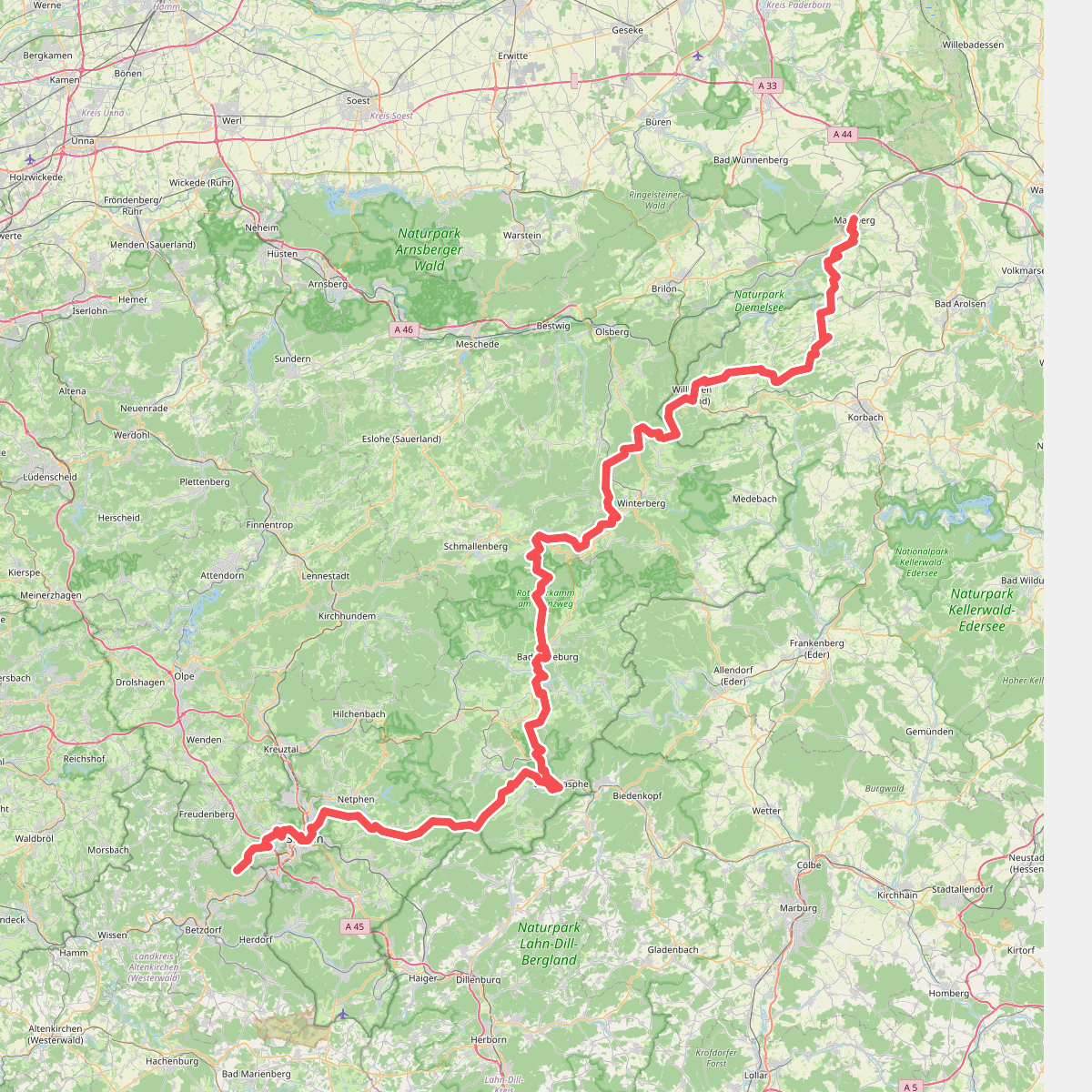
#3. European Long distance path E1 - part Germany, Nordrhein-Westfalen (south)
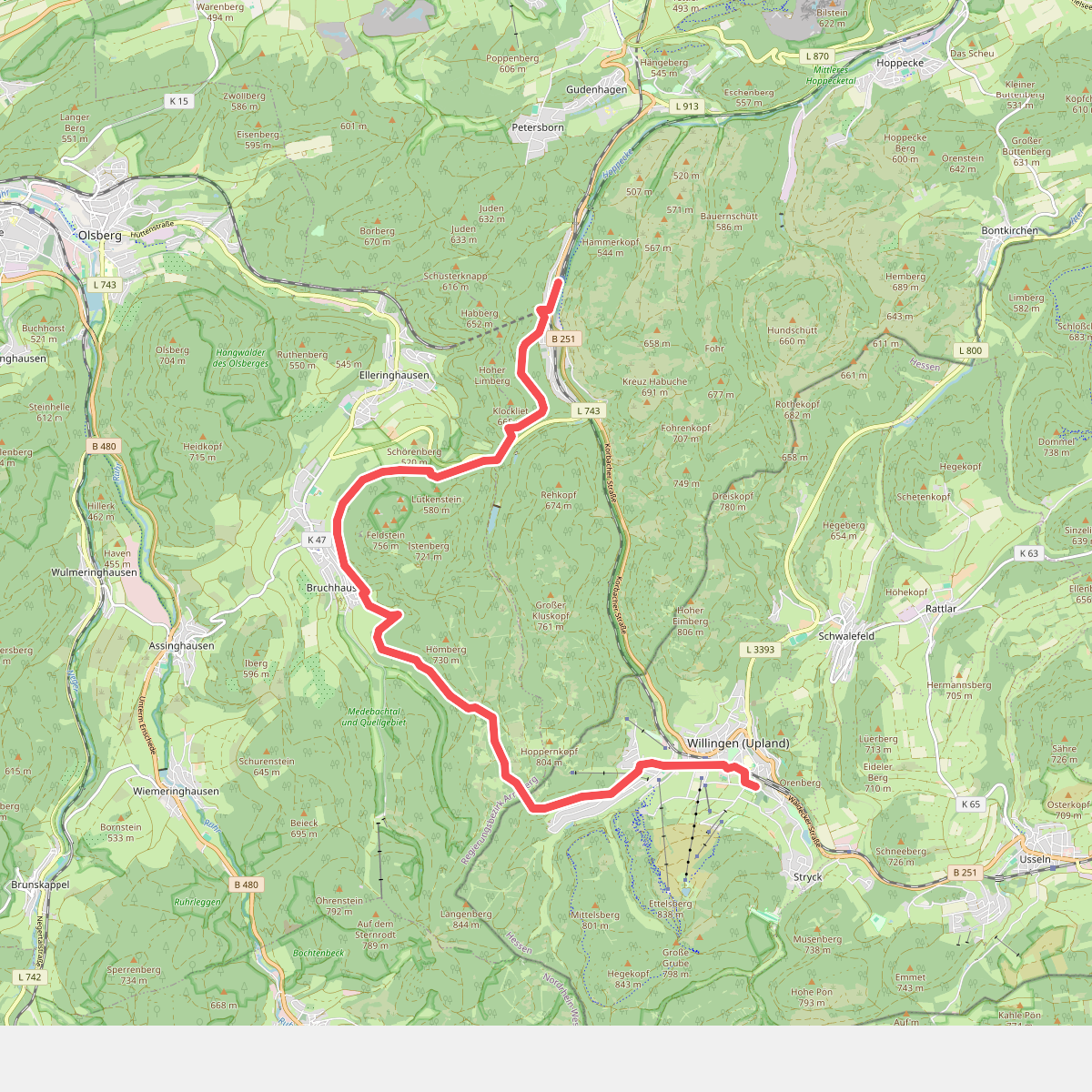
#4. Hessenweg 6, Abschnitt Brilon - Willingen
Brilon,Olsberg,Willingen (Upland)
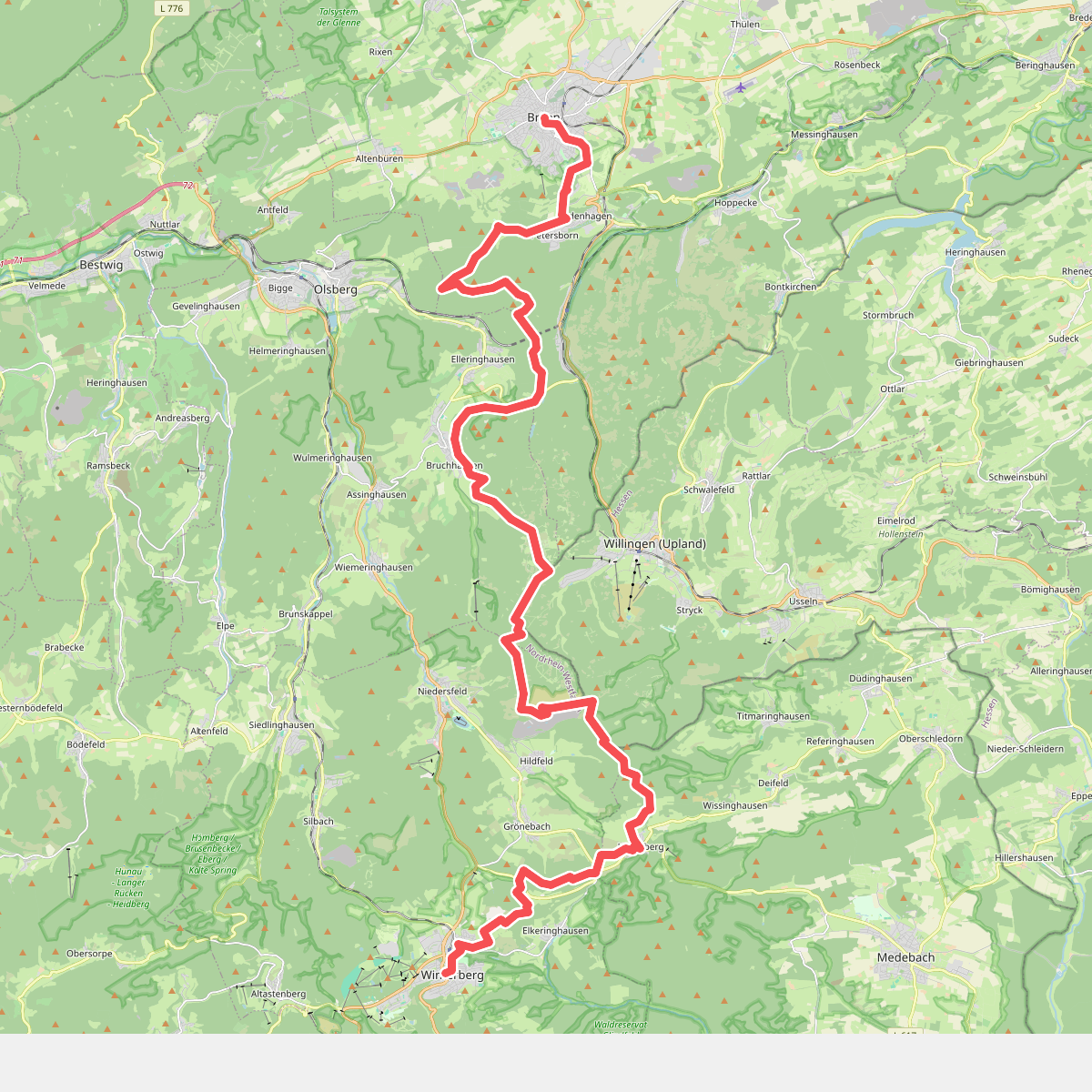
#5. Nord Süd Trail, Abschnitt Brilon - Winterberg
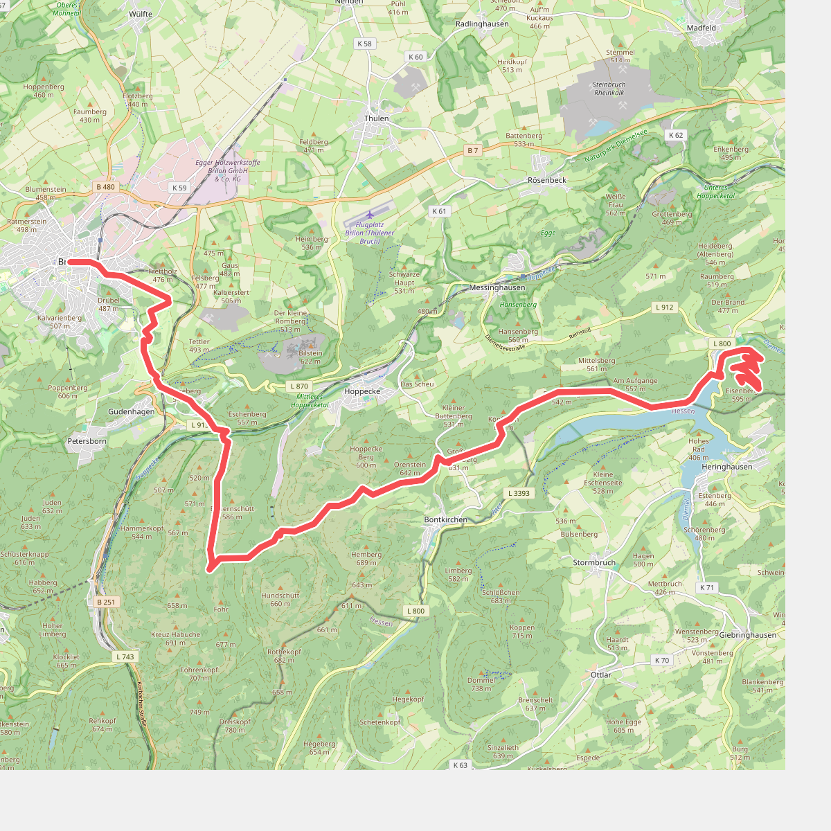
#6. Nord Süd Trail, Abschnitt Eisenberg - Brilon
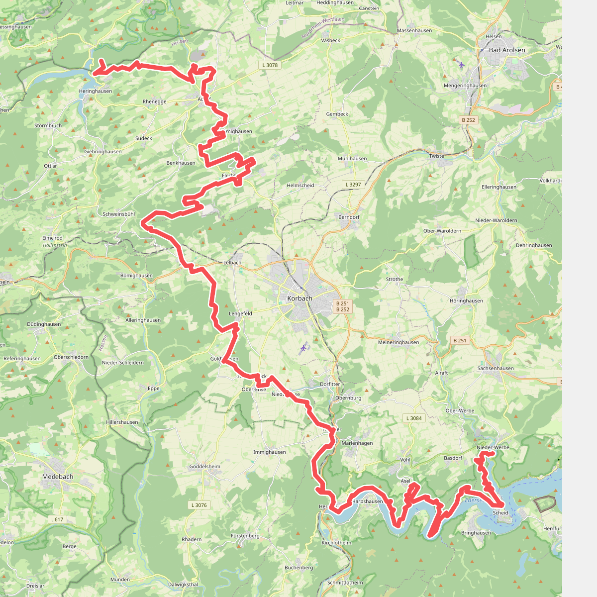
#7. Nord Süd Trail, Absschnitt Nieder-Werbe - Eisenberg
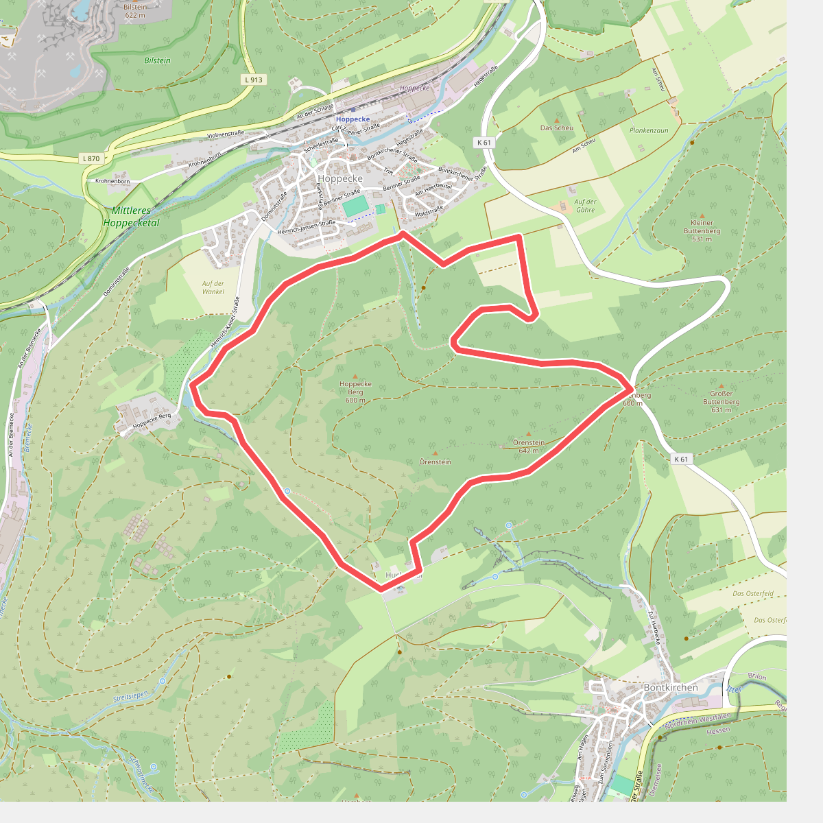
#8. Örenstein-Rundweg
Brilon
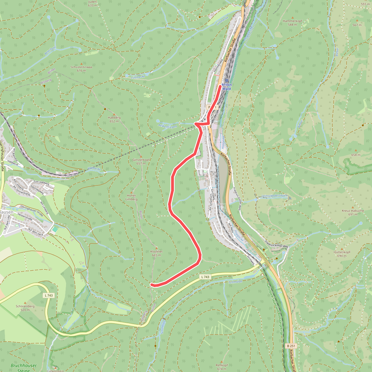
#9. Rothaarsteig-Zuweg Brilon-Wald
Brilon
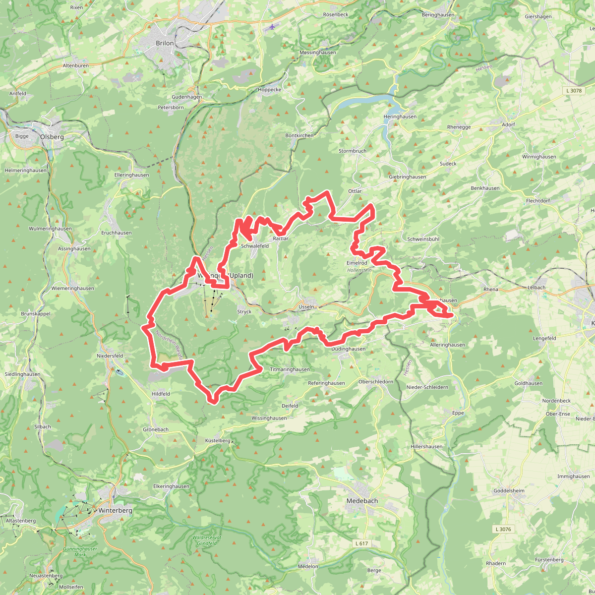
#10. Uplandsteig
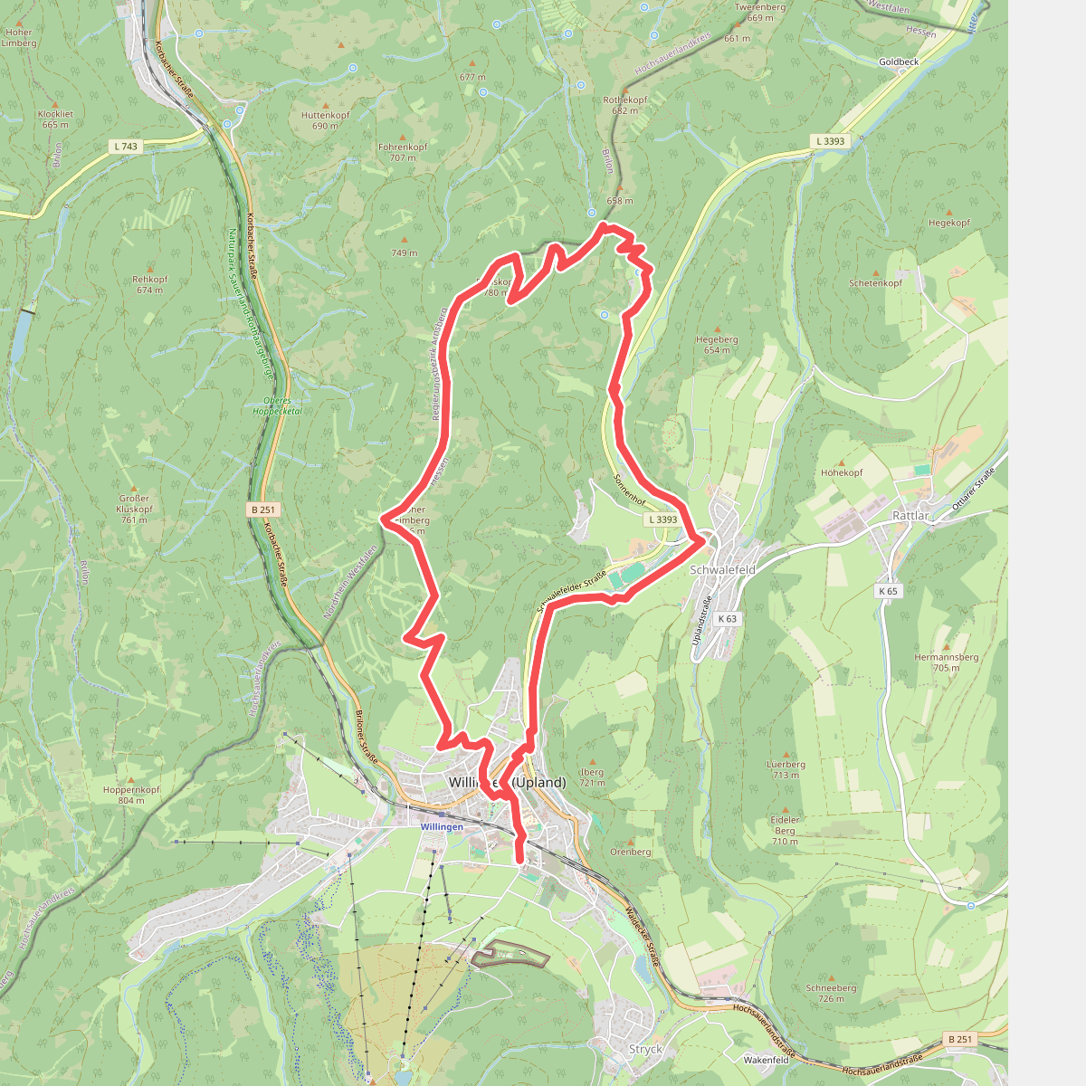
#11. Willingen W8
Willingen (Upland),Brilon