The best hiking routes in Müggelspree - Müggelsee
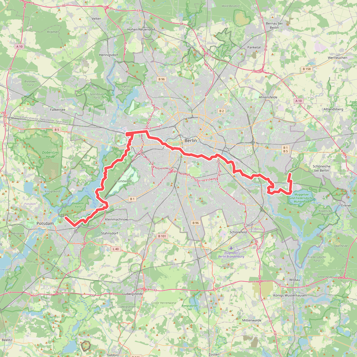
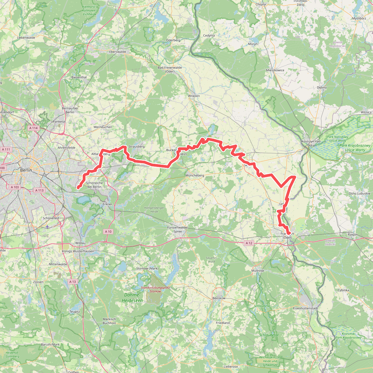
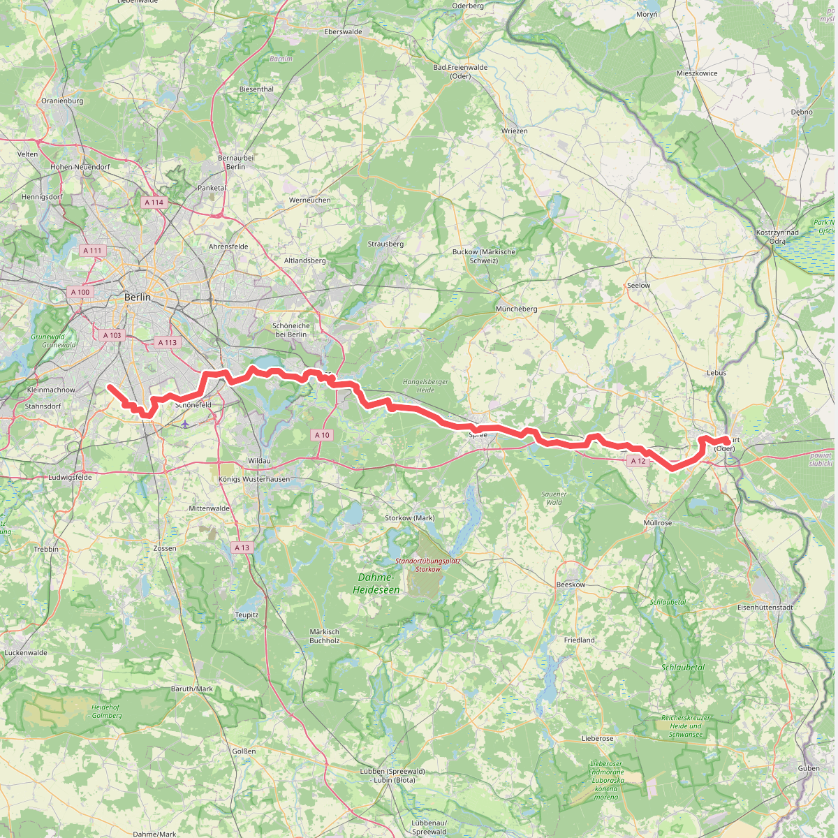
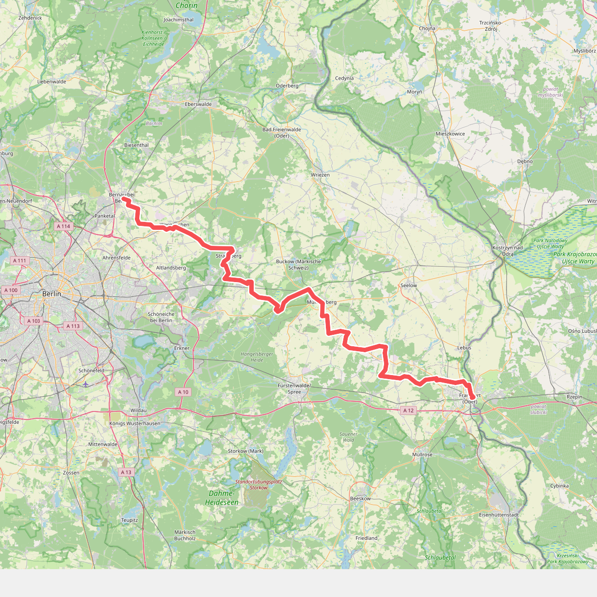
Discover the best walks in Müggelspree - Müggelsee. 5 routes on the map, with descriptions, photos and GPX.
About Müggelspree - Müggelsee
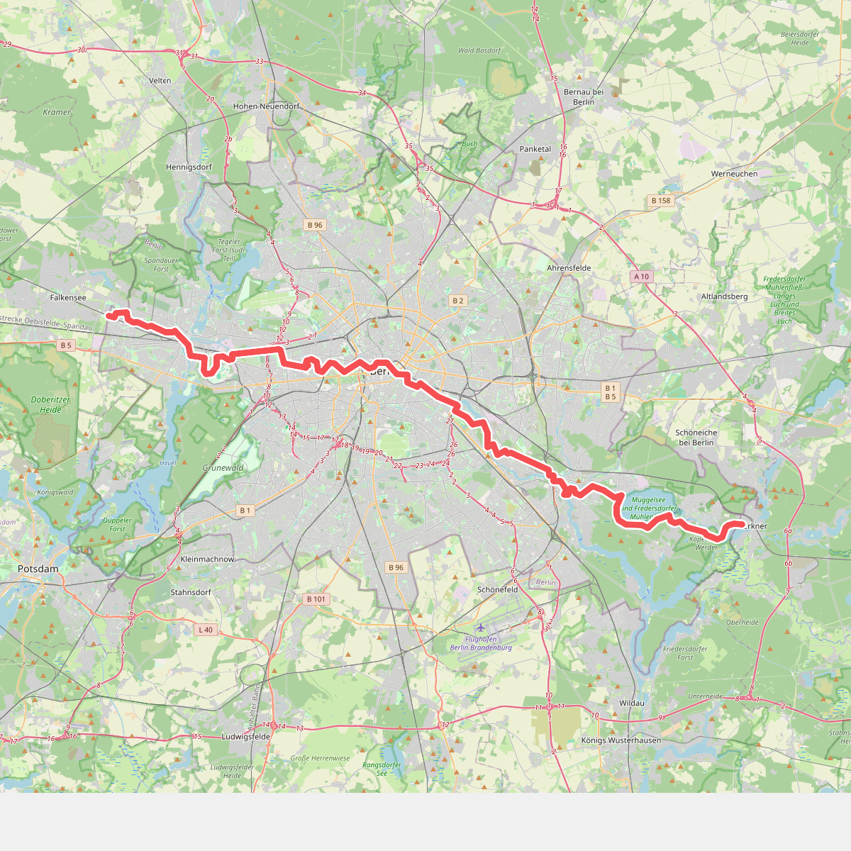
Müggelspree - Müggelsee offers a distinct contrast between Berlin's largest lake and the slow-moving river system that feeds it. The western section is dominated by the wide, open water of the Müggelsee, where the shoreline alternates between sandy bathing beaches and damp reed beds. Walking here means following flat, wide gravel paths and paved promenades that run close to the water, offering clear views across the lake toward the forested hills of the Müggelberge. The lakeside paths are straightforward and easy to navigate, though they are often busier near the main access points and ferry crossings.
Read more
About Müggelspree - Müggelsee
Müggelspree - Müggelsee offers a distinct contrast between Berlin's largest lake and the slow-moving river system that feeds it. The western section is dominated by the wide, open water of the Müggelsee, where the shoreline alternates between sandy bathing beaches and damp reed beds. Walking here means following flat, wide gravel paths and paved promenades that run close to the water, offering clear views across the lake toward the forested hills of the Müggelberge. The lakeside paths are straightforward and easy to navigate, though they are often busier near the main access points and ferry crossings.
Read moreMüggelspree - Müggelsee offers a distinct contrast between Berlin's largest lake and the slow-moving river system that feeds it. The western section is dominated by the wide, open water of the Müggelsee, where the shoreline alternates between sandy bathing beaches and damp reed beds. Walking here means following flat, wide gravel paths and paved promenades that run close to the water, offering clear views across the lake toward the forested hills of the Müggelberge. The lakeside paths are straightforward and easy to navigate, though they are often busier near the main access points and ferry crossings.
Further east, the landscape transitions into the quieter, more enclosed river corridor of the Müggelspree. Here, the terrain becomes a network of narrow channels, wet meadows, and damp alder forests. The underfoot conditions change from firm lakeside gravel to softer dirt tracks and grassy paths that can be damp underfoot. This river section feels much more enclosed by vegetation, with overhanging trees and marshy banks replacing the open horizons of the lake.
This area is not a wilderness of deep valleys or rugged terrain; it is a flat, water-dominated lowland shaped by glacial meltwater. Walkers should expect a level landscape where the main variety comes from the transition between open lake shores and shaded, marshy riverbanks. It is a practical choice for those who prefer reliable, level paths and want to observe how a major river system slows down and widens into a lake environment.