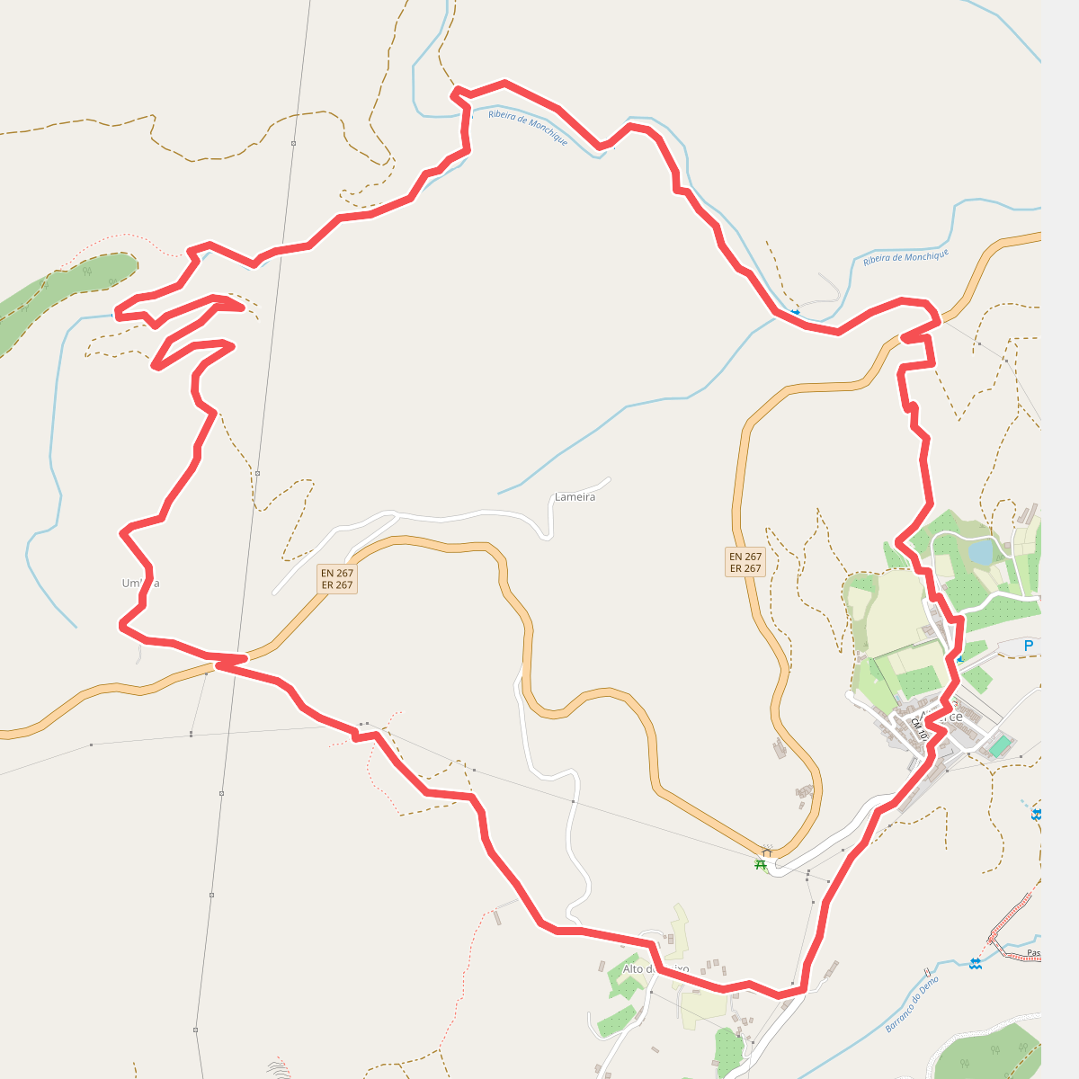
The best hiking routes in Monchique
Discover the best walks in Monchique. 26 routes on the map, with descriptions, photos and GPX.
Managed by Instituto da Conservação da Natureza e das Florestas

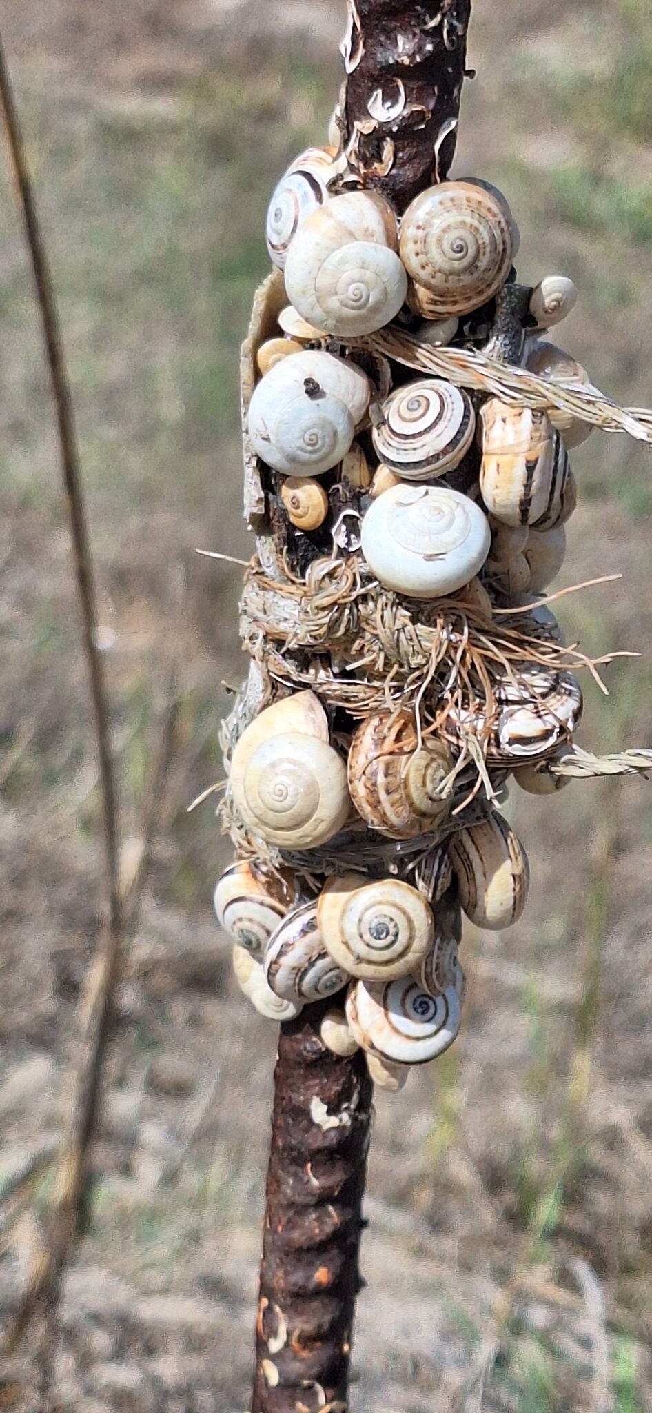


About Monchique
The Monchique range rises sharply above the dry coastal plains of the Algarve, offering a steep, forested landscape dominated by syenite rock formations and dense vegetation. Unlike the limestone cliffs of the coast, this area is characterized by acidic soils, terraced hillsides, and abundant natural springs. Walkers will find a network of steep dirt tracks, rocky paths, and narrow stone-paved levadas that follow the contours of the valleys. The vegetation is a mix of native cork oak forests, dense eucalyptus plantations, and sweet chestnut groves that change character with elevation.
Read more
About Monchique
The Monchique range rises sharply above the dry coastal plains of the Algarve, offering a steep, forested landscape dominated by syenite rock formations and dense vegetation. Unlike the limestone cliffs of the coast, this area is characterized by acidic soils, terraced hillsides, and abundant natural springs. Walkers will find a network of steep dirt tracks, rocky paths, and narrow stone-paved levadas that follow the contours of the valleys. The vegetation is a mix of native cork oak forests, dense eucalyptus plantations, and sweet chestnut groves that change character with elevation.
Read moreThe Monchique range rises sharply above the dry coastal plains of the Algarve, offering a steep, forested landscape dominated by syenite rock formations and dense vegetation. Unlike the limestone cliffs of the coast, this area is characterized by acidic soils, terraced hillsides, and abundant natural springs. Walkers will find a network of steep dirt tracks, rocky paths, and narrow stone-paved levadas that follow the contours of the valleys. The vegetation is a mix of native cork oak forests, dense eucalyptus plantations, and sweet chestnut groves that change character with elevation.
As you climb toward the high points of Fóia and Picota, the dense canopy thins into low, wind-sheared scrubland dominated by gorse and heather. Underfoot, the terrain transitions from soft, leaf-littered forest paths to exposed, gravelly tracks strewn with grey granite-like boulders. Water is a constant presence on the lower slopes, where small streams run through damp ravines filled with rare pontic rhododendrons, which bloom in shades of pink and purple during May.
This is a demanding landscape of constant elevation change, lacking flat valley floors or gentle coastal boardwalks. The steep gradients require steady footing, especially on the loose gravel paths near the summits. While the highest peaks attract visitors arriving by road, the forested footpaths connecting the old farming terraces and mountain hamlets offer a much quieter, working-countryside experience.
Hiking routes in Monchique (26)
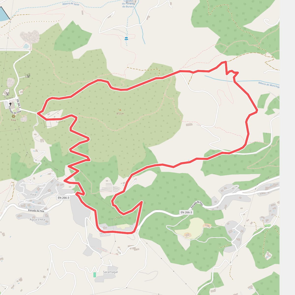
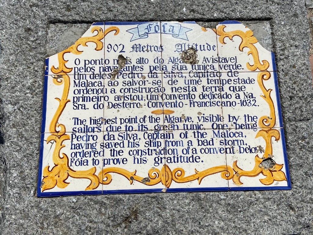
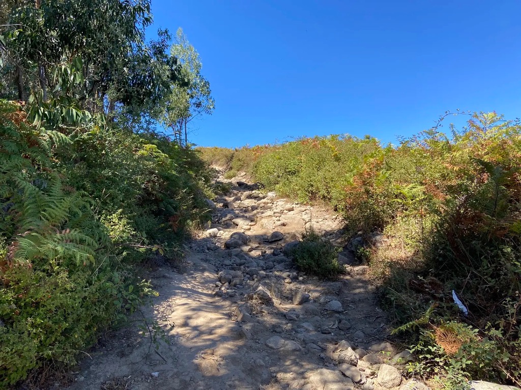
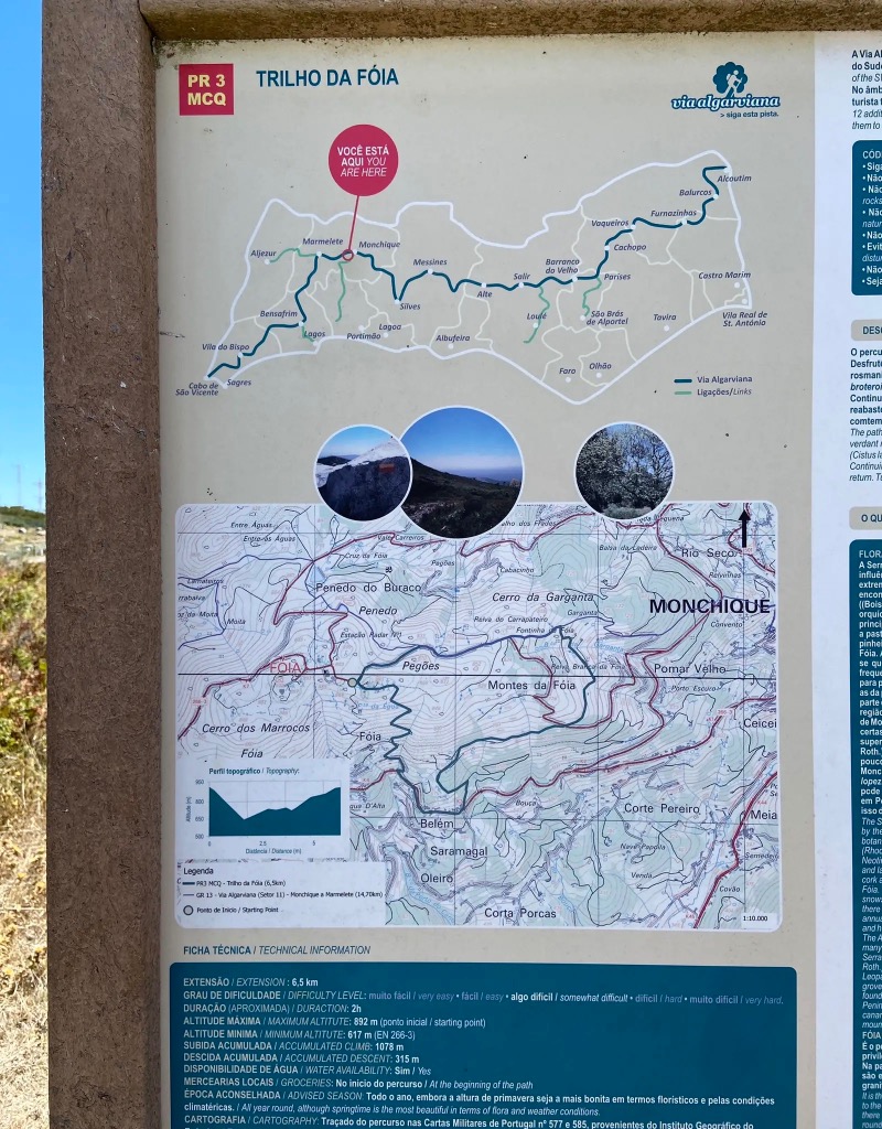
#1. Trilho da Fóia
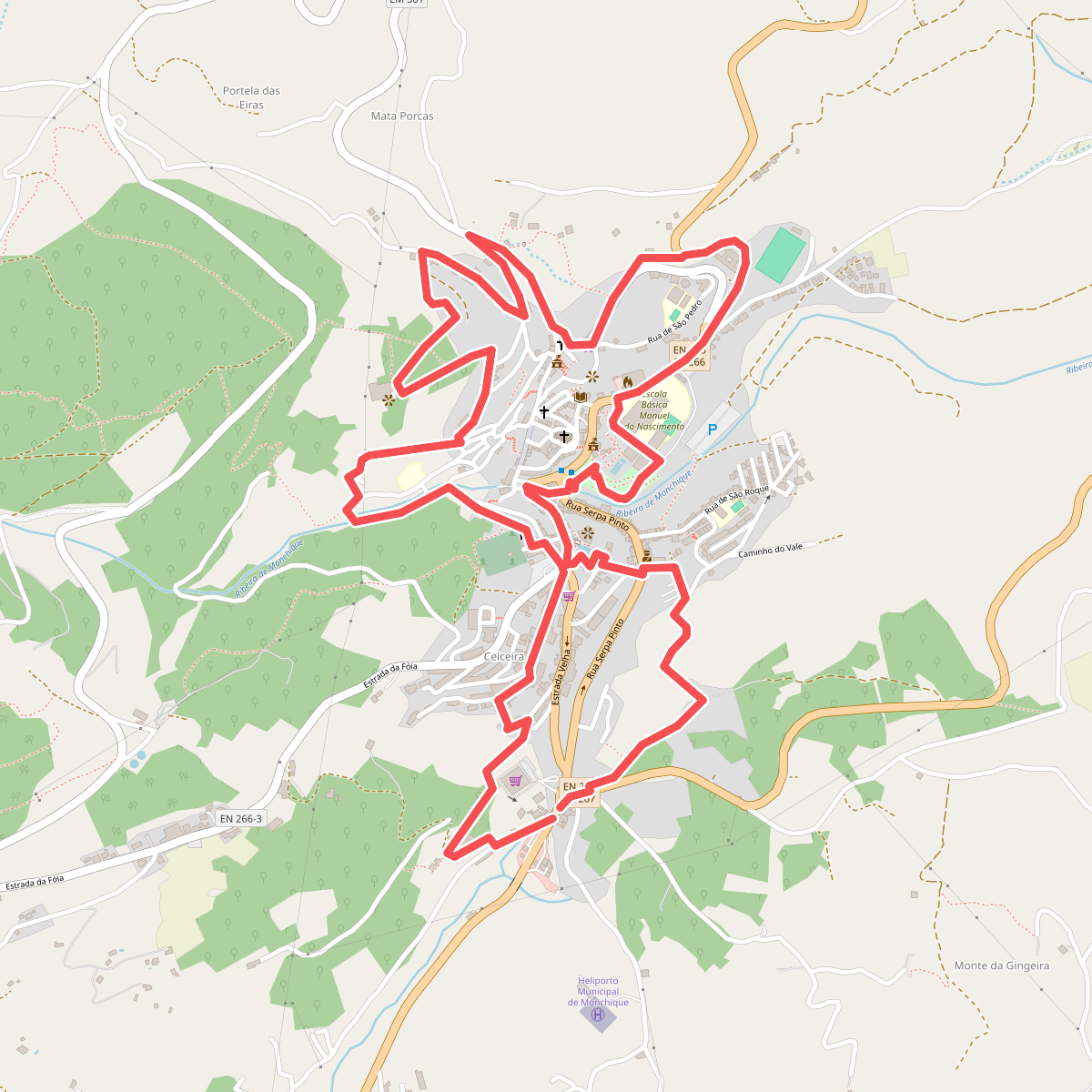
#2. Árvores da Vila (Rota das Árvores Monumentais)
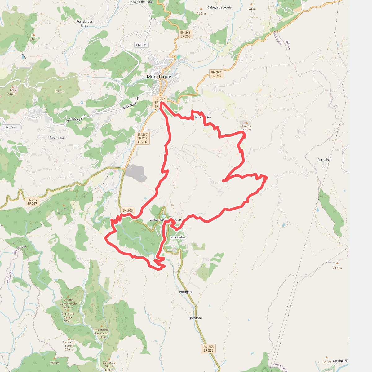
#3. Caminho das Caldas - Picota
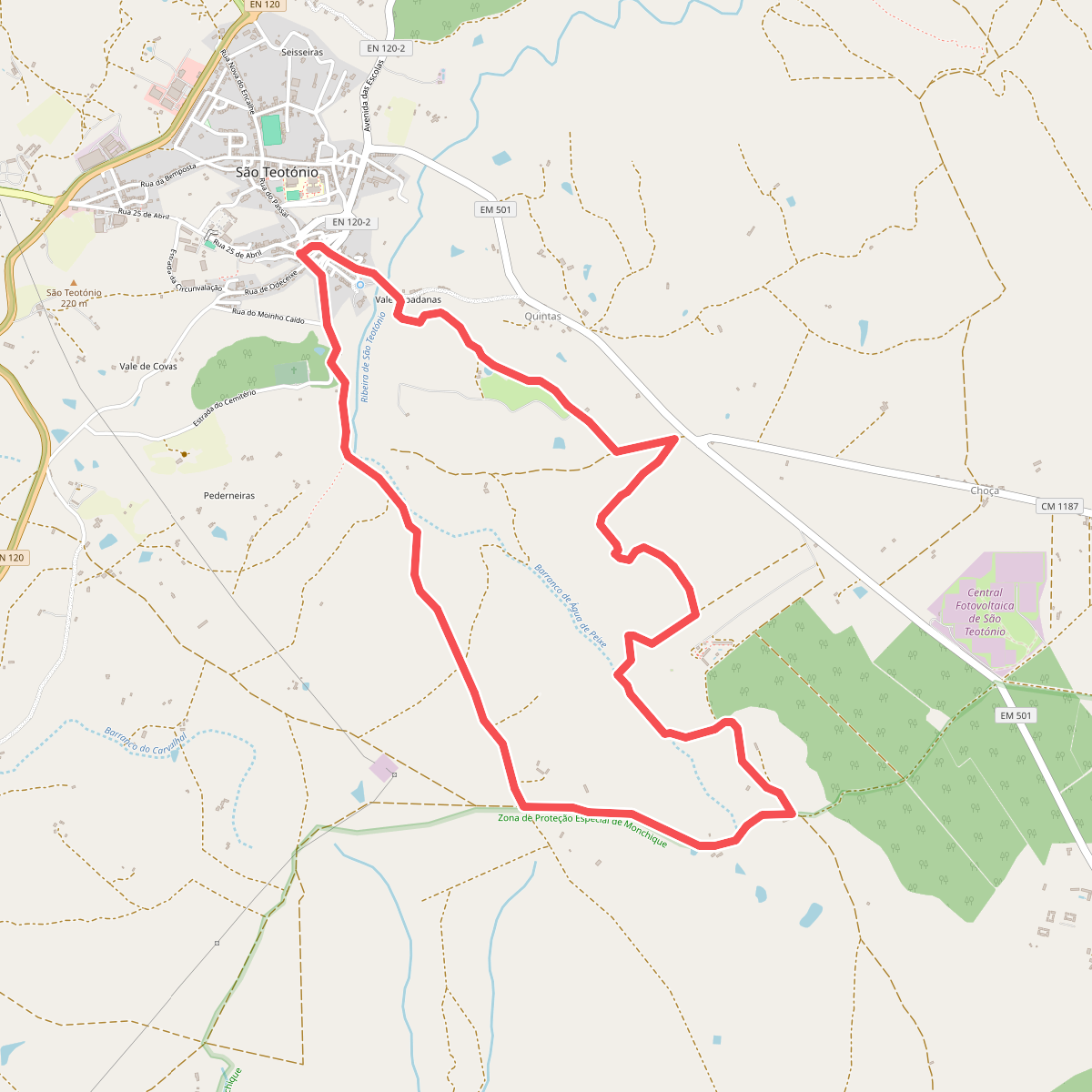
#4. Charneca de S. Teotónio
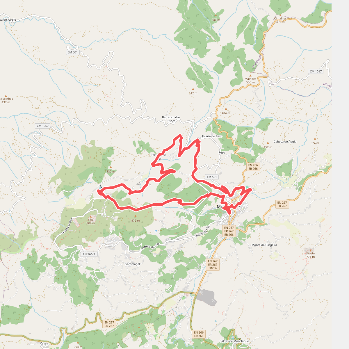
#5. Circuito da Fóia (Rota das Árvores Monumentais)
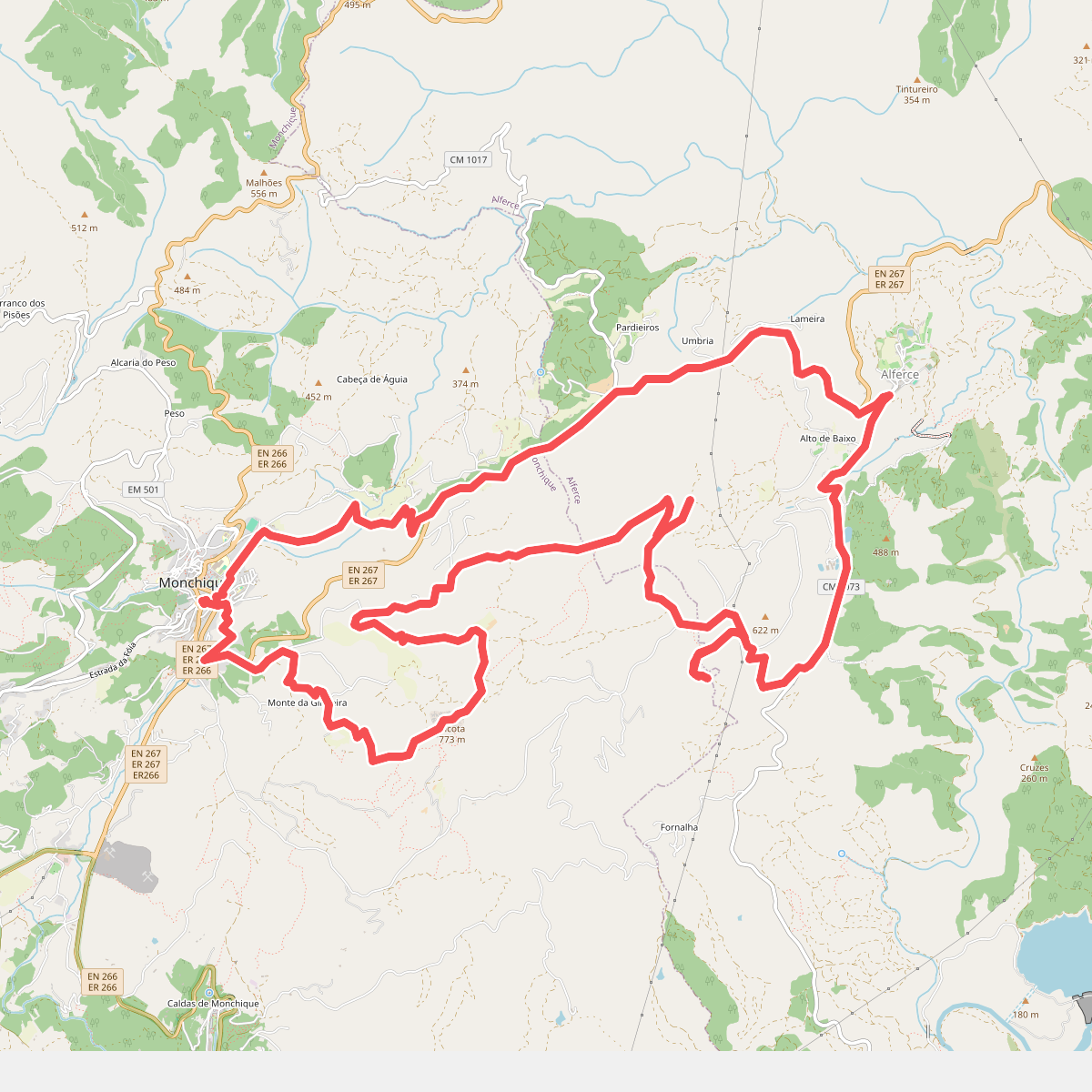
#6. Circuito da Picota (Rota das Árvores Monumentais)
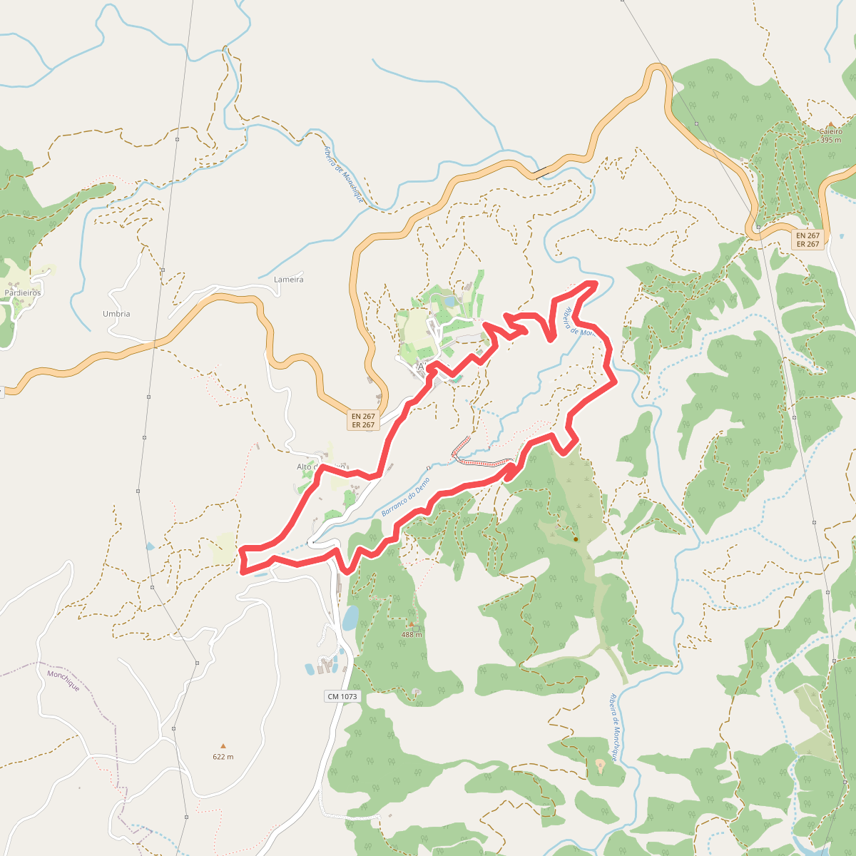
#7. Entre o Vale e o Castelo
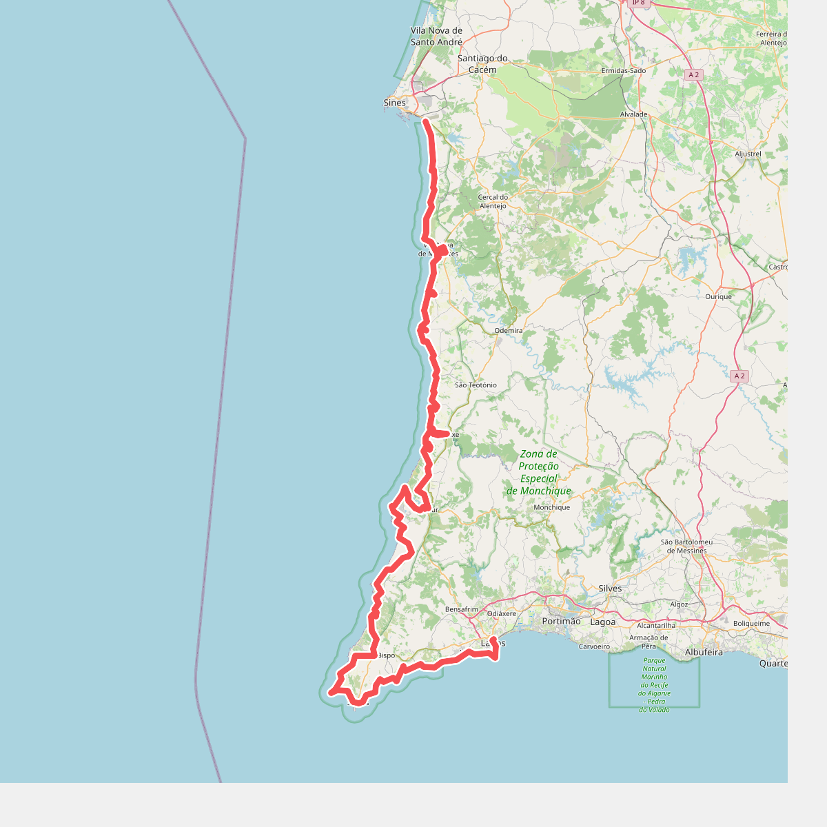
#8. Fishermantrail
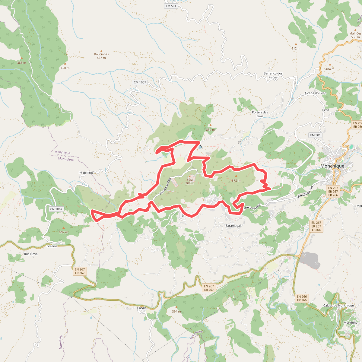
#9. Fóia e área envolvente (Rota da Geologia)
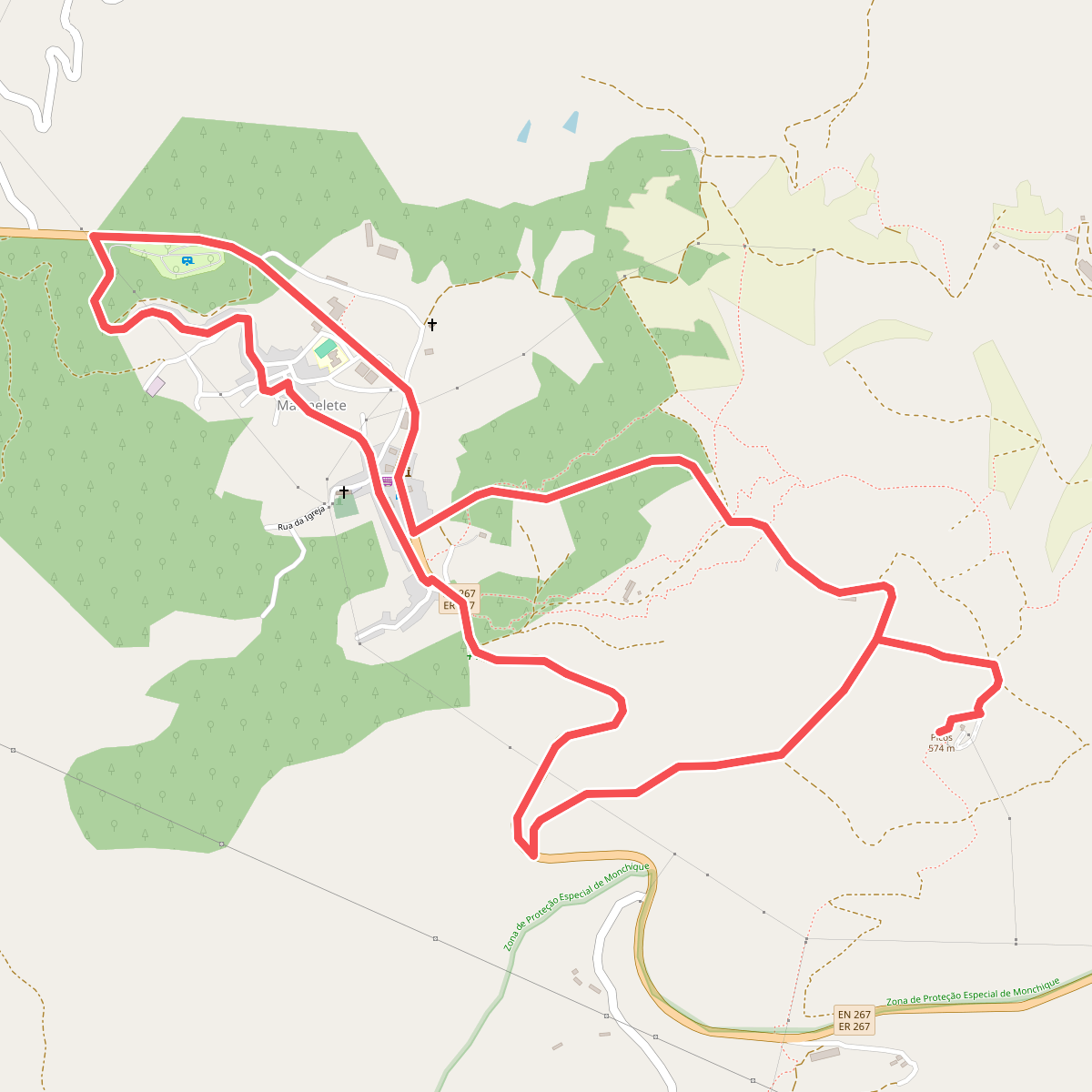
#10. Marmelete (Rota da Geologia)
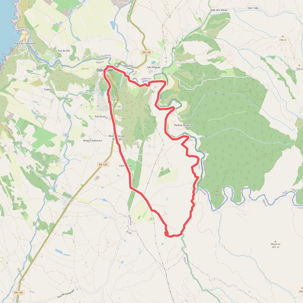
#11. Odeceixe-ao-Rio