

The best hiking routes in LSG-Ratinger Stadtwald Süd-West
Discover the best walks in LSG-Ratinger Stadtwald Süd-West. 6 routes on the map, with descriptions, photos and GPX.
About LSG-Ratinger Stadtwald Süd-West
LSG-Ratinger Stadtwald Süd-West offers a dense, mixed woodland experience on the eastern edge of the Lower Rhine Plain. Unlike the open agricultural fields nearby, this protected area is characterized by a closed canopy of mature beech and oak trees, interspersed with pine stands. The terrain is mostly flat with gentle undulations, shaped by the historic terrace edges of the Rhine valley. Walking here means navigating a network of wide, unpaved forest tracks that can become muddy after rain, alongside narrower dirt paths that wind through the undergrowth.
Read more
About LSG-Ratinger Stadtwald Süd-West
LSG-Ratinger Stadtwald Süd-West offers a dense, mixed woodland experience on the eastern edge of the Lower Rhine Plain. Unlike the open agricultural fields nearby, this protected area is characterized by a closed canopy of mature beech and oak trees, interspersed with pine stands. The terrain is mostly flat with gentle undulations, shaped by the historic terrace edges of the Rhine valley. Walking here means navigating a network of wide, unpaved forest tracks that can become muddy after rain, alongside narrower dirt paths that wind through the undergrowth.
Read moreLSG-Ratinger Stadtwald Süd-West offers a dense, mixed woodland experience on the eastern edge of the Lower Rhine Plain. Unlike the open agricultural fields nearby, this protected area is characterized by a closed canopy of mature beech and oak trees, interspersed with pine stands. The terrain is mostly flat with gentle undulations, shaped by the historic terrace edges of the Rhine valley. Walking here means navigating a network of wide, unpaved forest tracks that can become muddy after rain, alongside narrower dirt paths that wind through the undergrowth.
The forest floor is defined by thick leaf litter and patches of ferns, rather than open heath or sand dunes. You will notice a transition between drier, sandy-loam soils on the higher ground and damper, clay-heavy depressions where small streams drain toward the Angerbach. These wetter zones are often marked by alder and willow trees, providing a distinct change in vegetation within a short distance.
This area is not a wilderness of dramatic vistas or steep ravines, but a managed suburban forest. It is bordered by local roads and residential edges, meaning the hum of nearby traffic is often audible. The main gravel paths are popular with local walkers and joggers, though the smaller side tracks offer a quieter, more enclosed woodland atmosphere.
Hiking routes in LSG-Ratinger Stadtwald Süd-West (6)

#1. Angerland Rundweg A4
Ratingen

#2. Angerland Rundweg A5
Ratingen

#3. Angerland Rundweg A8
Ratingen
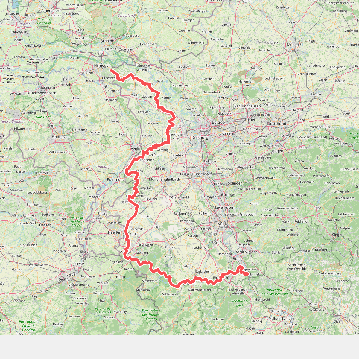
#4. Europäischer Fernwanderweg E8, Nordrhein-Westfalen

#5. [Raute4] Düsseltalweg
Velbert,Wülfrath,Wuppertal,Haan,Mettmann,Erkrath,Düsseldorf

#6. Steinkothen Rundweg A9
Ratingen




