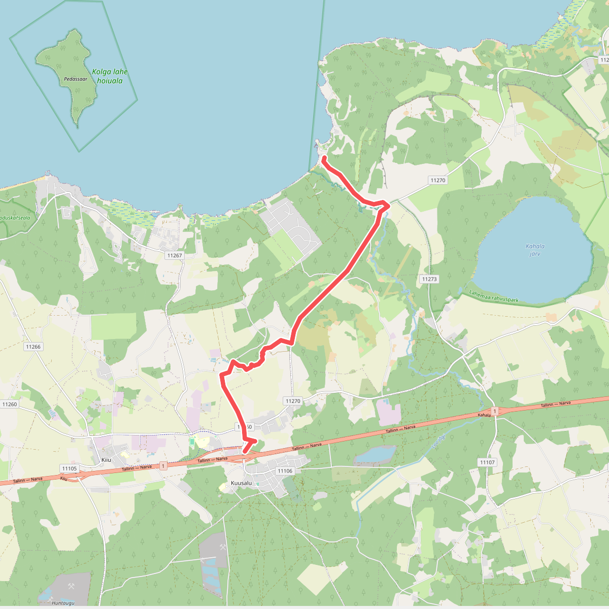
The best hiking routes in Lahemaa rahvuspark
Discover the best walks in Lahemaa rahvuspark. 7 routes on the map, with descriptions, photos and GPX.
About Lahemaa rahvuspark
Lahemaa rahvuspark presents a distinct coastal landscape where northern Estonia meets the Gulf of Finland. The terrain is characterized by its flatness, lacking any significant elevation or deep valleys, and is instead defined by a sequence of four large, stony peninsulas stretching northwards. Walkers will find a stark contrast between the dense pine forests growing on sandy soils and the expansive, waterlogged peat bogs. Glacial erratic boulders, some as large as small houses, are scattered throughout the woods and along the shoreline, serving as physical markers of the last ice age.
Read more
About Lahemaa rahvuspark
Lahemaa rahvuspark presents a distinct coastal landscape where northern Estonia meets the Gulf of Finland. The terrain is characterized by its flatness, lacking any significant elevation or deep valleys, and is instead defined by a sequence of four large, stony peninsulas stretching northwards. Walkers will find a stark contrast between the dense pine forests growing on sandy soils and the expansive, waterlogged peat bogs. Glacial erratic boulders, some as large as small houses, are scattered throughout the woods and along the shoreline, serving as physical markers of the last ice age.
Read moreLahemaa rahvuspark presents a distinct coastal landscape where northern Estonia meets the Gulf of Finland. The terrain is characterized by its flatness, lacking any significant elevation or deep valleys, and is instead defined by a sequence of four large, stony peninsulas stretching northwards. Walkers will find a stark contrast between the dense pine forests growing on sandy soils and the expansive, waterlogged peat bogs. Glacial erratic boulders, some as large as small houses, are scattered throughout the woods and along the shoreline, serving as physical markers of the last ice age.
Underfoot, the paths vary significantly depending on the chosen route. The interior bogs, such as Viru raba, are traversed via wooden boardwalks that keep walkers above the deep peat layers, while the coastal trails consist of loose sand, shingle, and pine-needle tracks. The forest floors are often thick with moss and blueberry bushes, which turn a deep red in September. Because the park covers a vast area, the experience changes from the sheltered, quiet woodland paths of the interior to the exposed, stony beaches of the Juminda and Pärispea peninsulas.
This is a landscape shaped by slow post-glacial rebound, meaning the land is still rising out of the sea. You will notice this on the coastal walks, where ancient shorelines now appear as forested ridges running parallel to the current beach. While the most accessible boardwalk sections can become busy on weekends, the stony coastal spits and the deeper forest tracks remain quiet, offering straightforward walking over level ground rather than challenging climbs.
Hiking routes in Lahemaa rahvuspark (7)
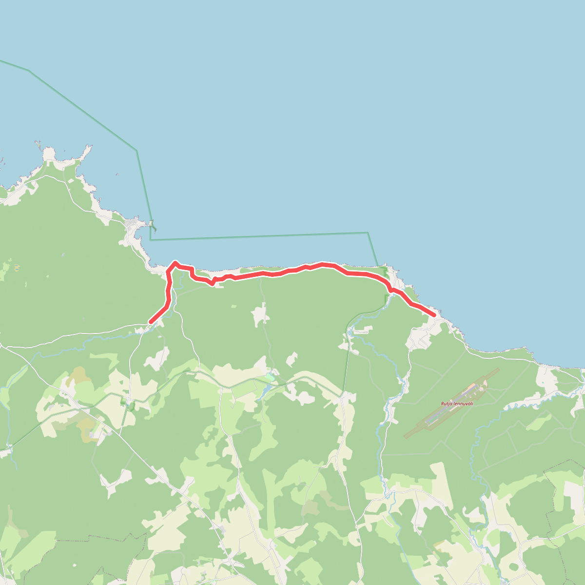
#1. E11 section 41: Eisma‒Oandu
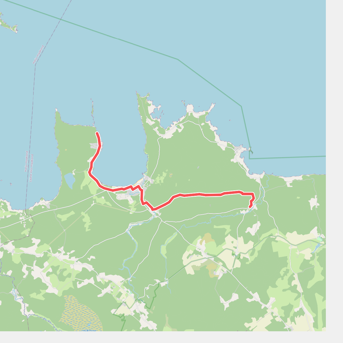
#2. E11 section 42: Oandu‒Käsmu
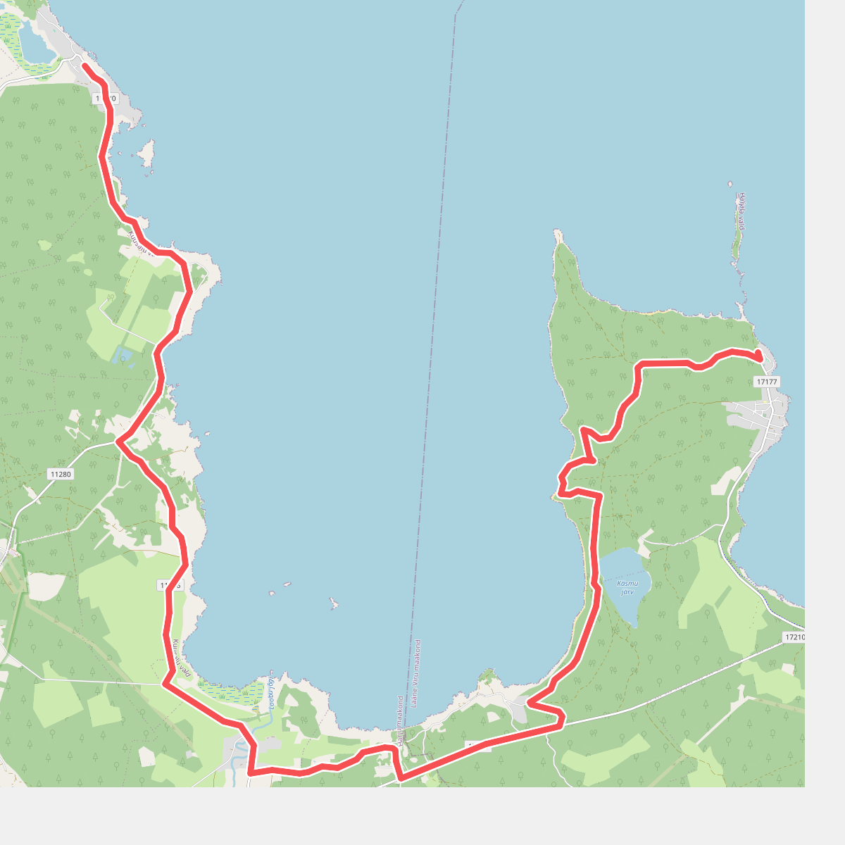
#3. E11 section 43: Käsmu‒Viinistu
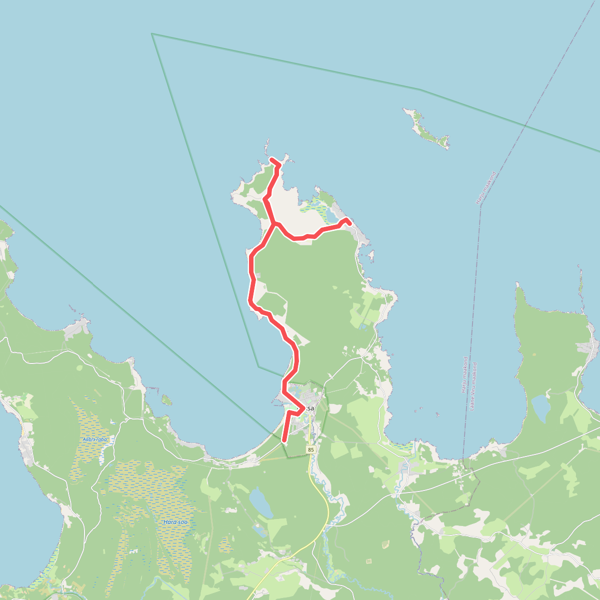
#4. E11 section 44: Viinistu‒Loksa
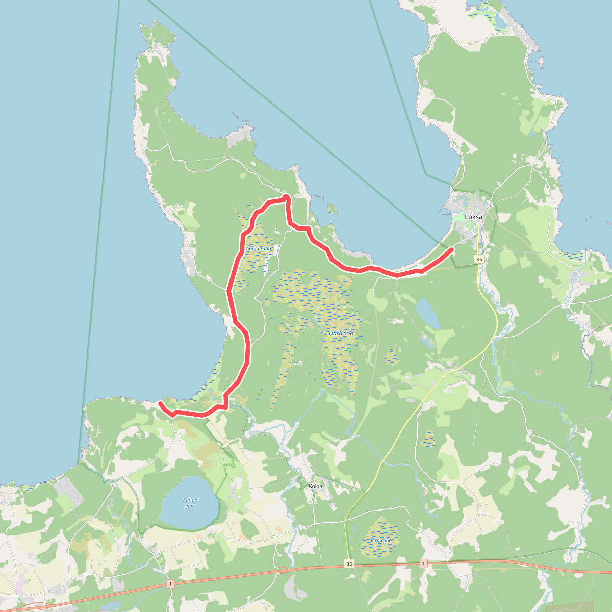
#5. E11 section 45: Loksa‒Tsitre
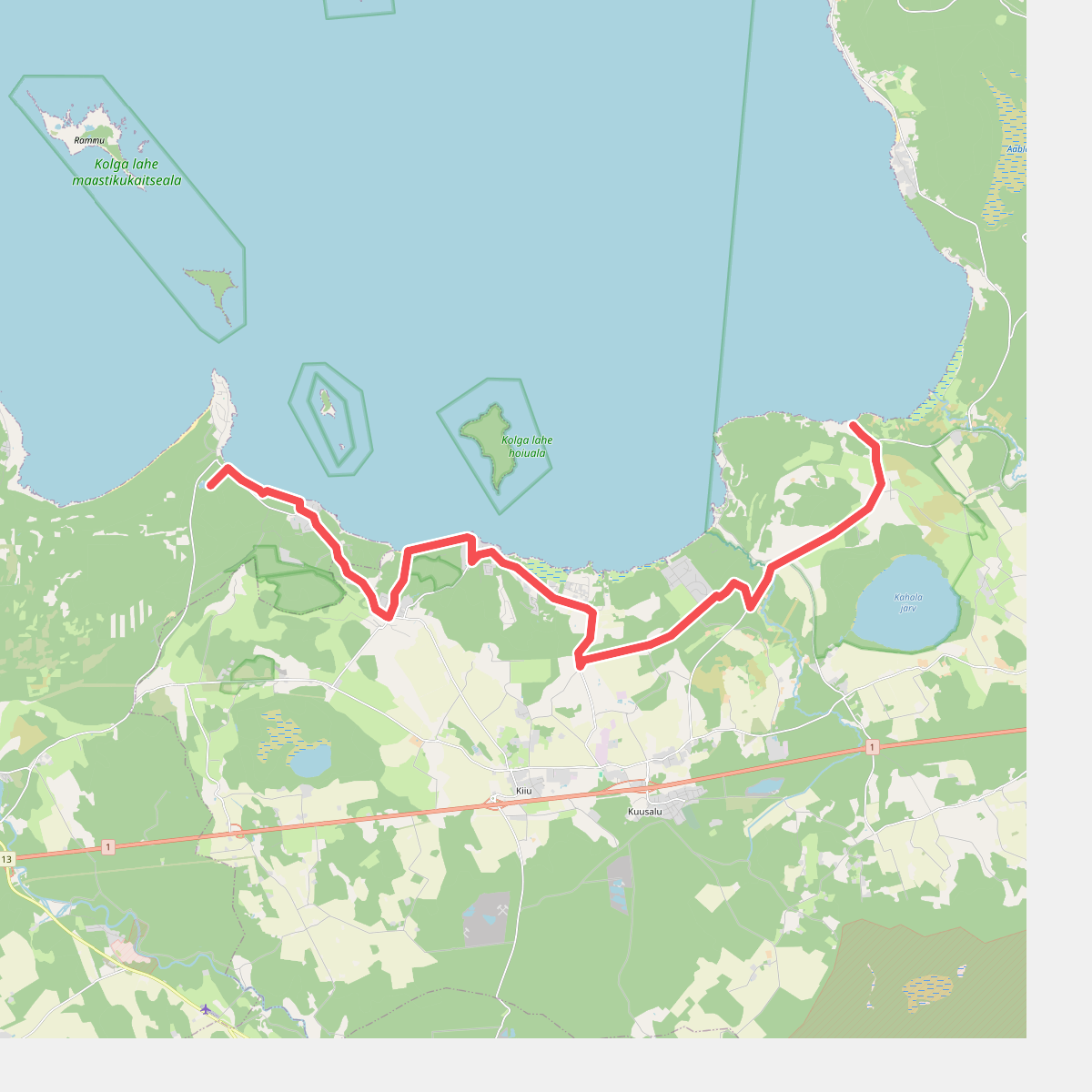
#6. E11 section 46: Tsitre‒ Kaberneeme