

The best hiking routes in Heubachniederung, Lavesumer Bruch und Borkenberge
Discover the best walks in Heubachniederung, Lavesumer Bruch und Borkenberge. 16 routes on the map, with descriptions, photos and GPX.
About Heubachniederung, Lavesumer Bruch und Borkenberge
Heubachniederung, Lavesumer Bruch und Borkenberge offers a stark contrast between wet lowland basins and dry, elevated inland dunes. In the lower-lying Heubachniederung and Lavesumer Bruch, the landscape is defined by damp meadows, drainage ditches, and marshy woodland patches. Walking here means following flat, often damp dirt tracks and grassy paths where the high water table is constantly visible in the pooling ditches. The vegetation is dominated by rushes, sedges, and water-loving trees like alders.
Read more
About Heubachniederung, Lavesumer Bruch und Borkenberge
Heubachniederung, Lavesumer Bruch und Borkenberge offers a stark contrast between wet lowland basins and dry, elevated inland dunes. In the lower-lying Heubachniederung and Lavesumer Bruch, the landscape is defined by damp meadows, drainage ditches, and marshy woodland patches. Walking here means following flat, often damp dirt tracks and grassy paths where the high water table is constantly visible in the pooling ditches. The vegetation is dominated by rushes, sedges, and water-loving trees like alders.
Read moreHeubachniederung, Lavesumer Bruch und Borkenberge offers a stark contrast between wet lowland basins and dry, elevated inland dunes. In the lower-lying Heubachniederung and Lavesumer Bruch, the landscape is defined by damp meadows, drainage ditches, and marshy woodland patches. Walking here means following flat, often damp dirt tracks and grassy paths where the high water table is constantly visible in the pooling ditches. The vegetation is dominated by rushes, sedges, and water-loving trees like alders.
As you move toward the Borkenberge, the terrain rises slightly and transitions into a dry, sandy heathland. This area was shaped by historical military use, which prevented intensive farming and preserved large open expanses of heather and nutrient-poor sand. Underfoot, the damp soil gives way to deep, loose sand tracks that can make walking slow. The plant life changes completely to common heather, gorse, and scattered birch trees.
This area is not a place for sweeping hill vistas or deep valleys, as the elevation changes are very gentle. Instead, it offers an opportunity to observe how a few meters of elevation change the soil from peat to sand. The open heath sections in the Borkenberge are particularly striking in August when the heather flowers, while the wetter lowlands remain green and shaded throughout the summer months.
Hiking routes in Heubachniederung, Lavesumer Bruch und Borkenberge (16)
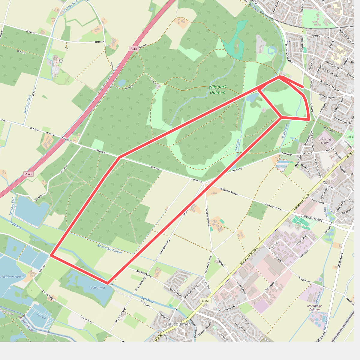
#1. An der Ziegenweide Rundweg A5
Dülmen
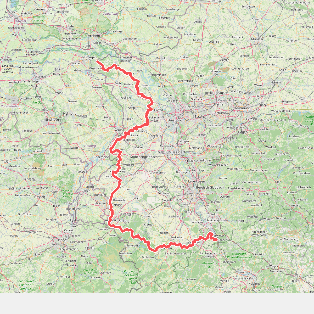
#2. Europäischer Fernwanderweg E8, Nordrhein-Westfalen
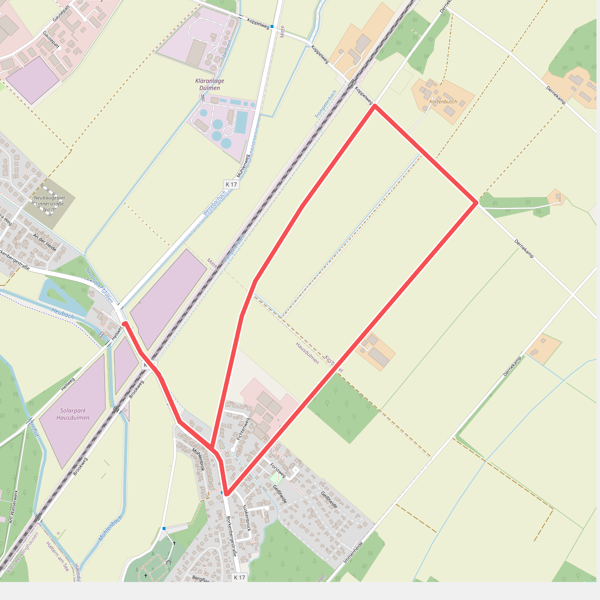
#3. Große Teichsmühle Rundweg A3
Dülmen
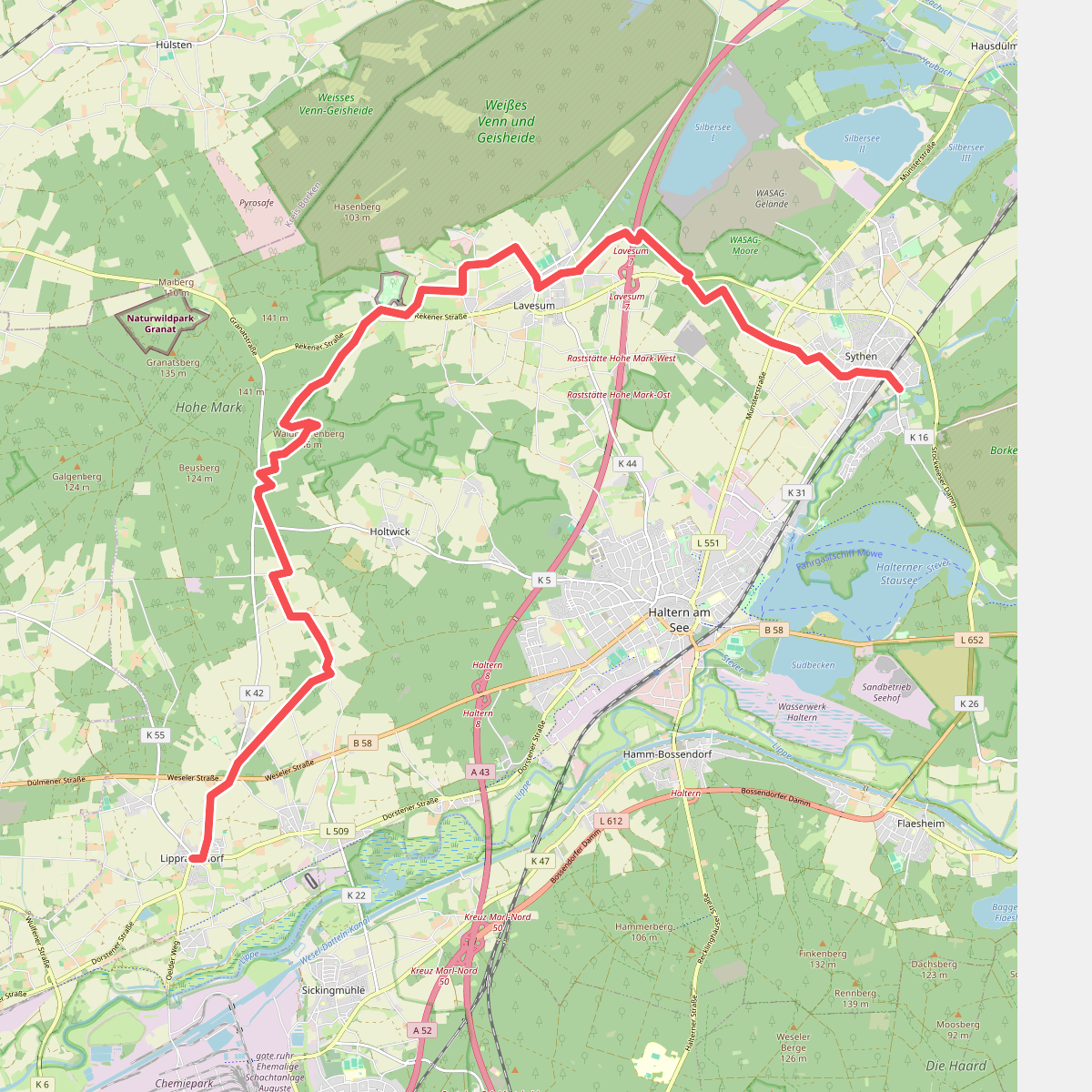
#4. Haltern-Lippramsdorf - Sythen X20
Haltern am See
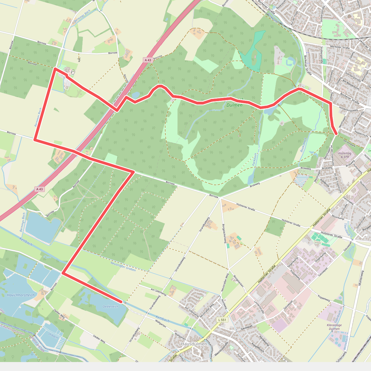
#5. Haus Waldfrieden Rundweg A6
Dülmen
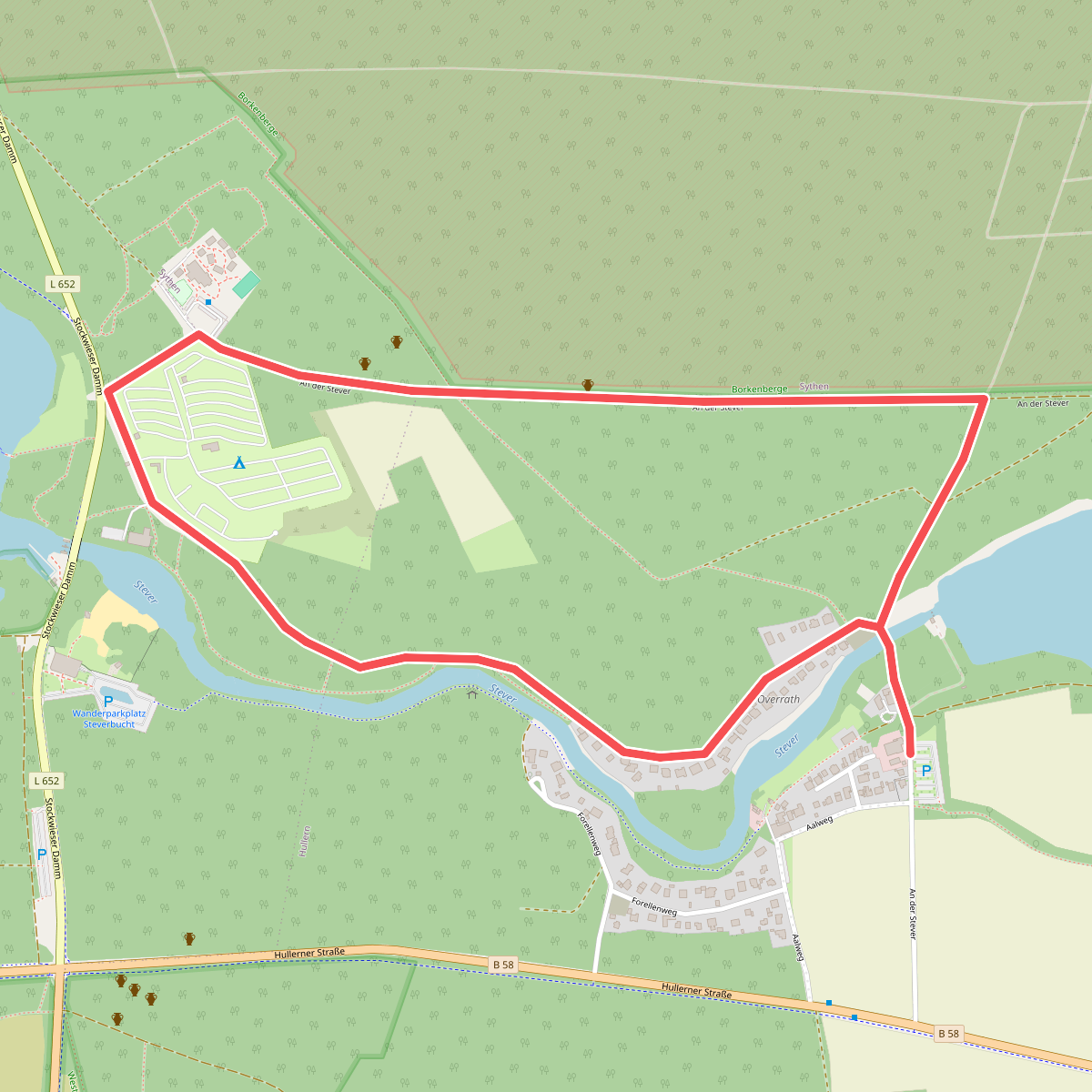
#6. Heimingshof Rundweg A1
Haltern am See
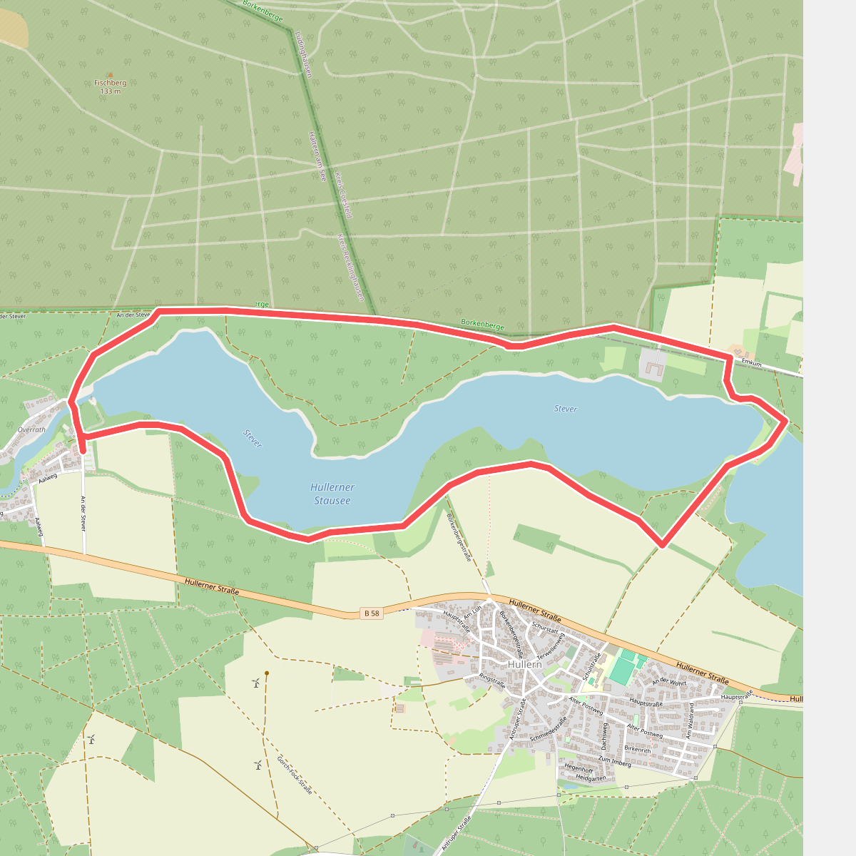
#7. Heimingshof Rundweg A2
Lüdinghausen,Haltern am See
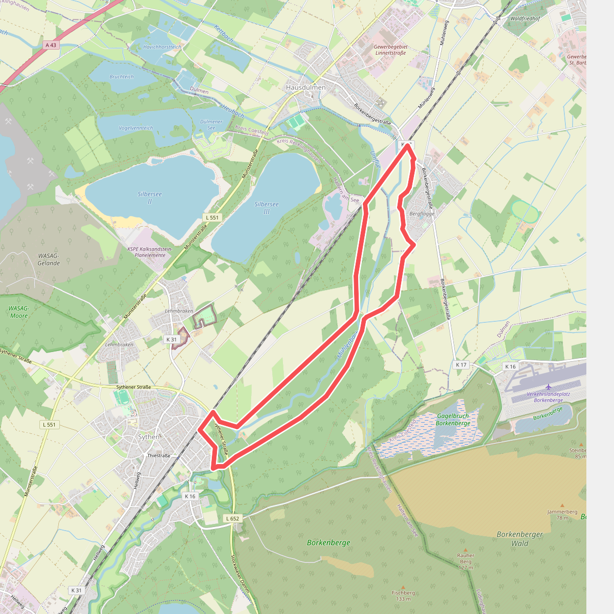
#8. Linnert Rundweg A1
Haltern am See,Dülmen
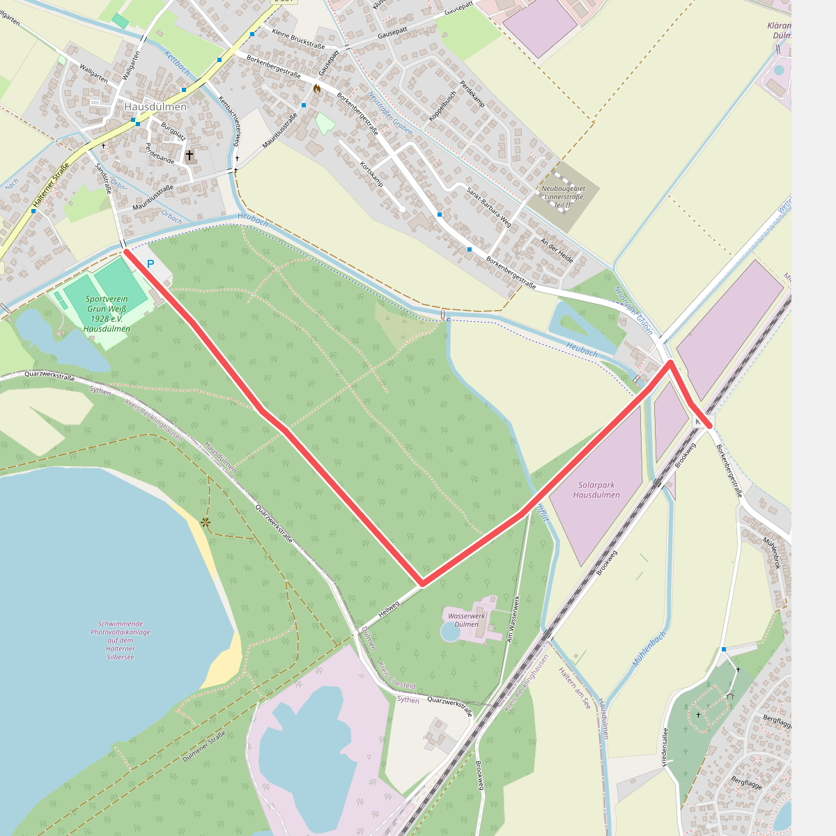
#9. Nordic Walking Rundweg Dülmen Mühlenbachroute
Dülmen
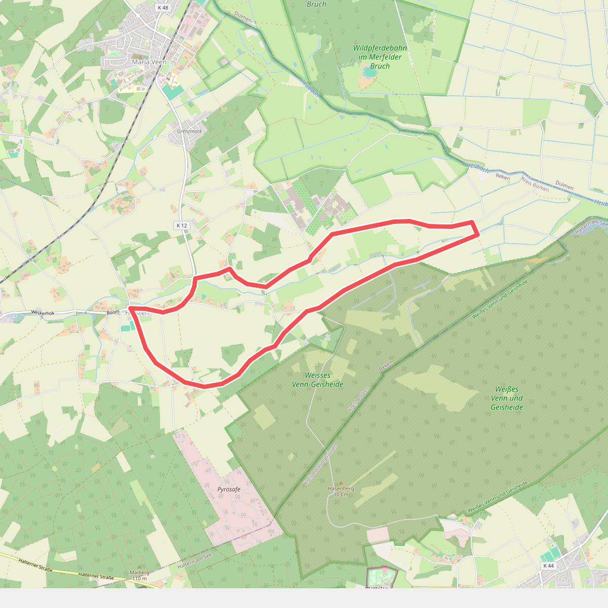
#10. Nordic Walking Rundweg Hülsten H2
Reken
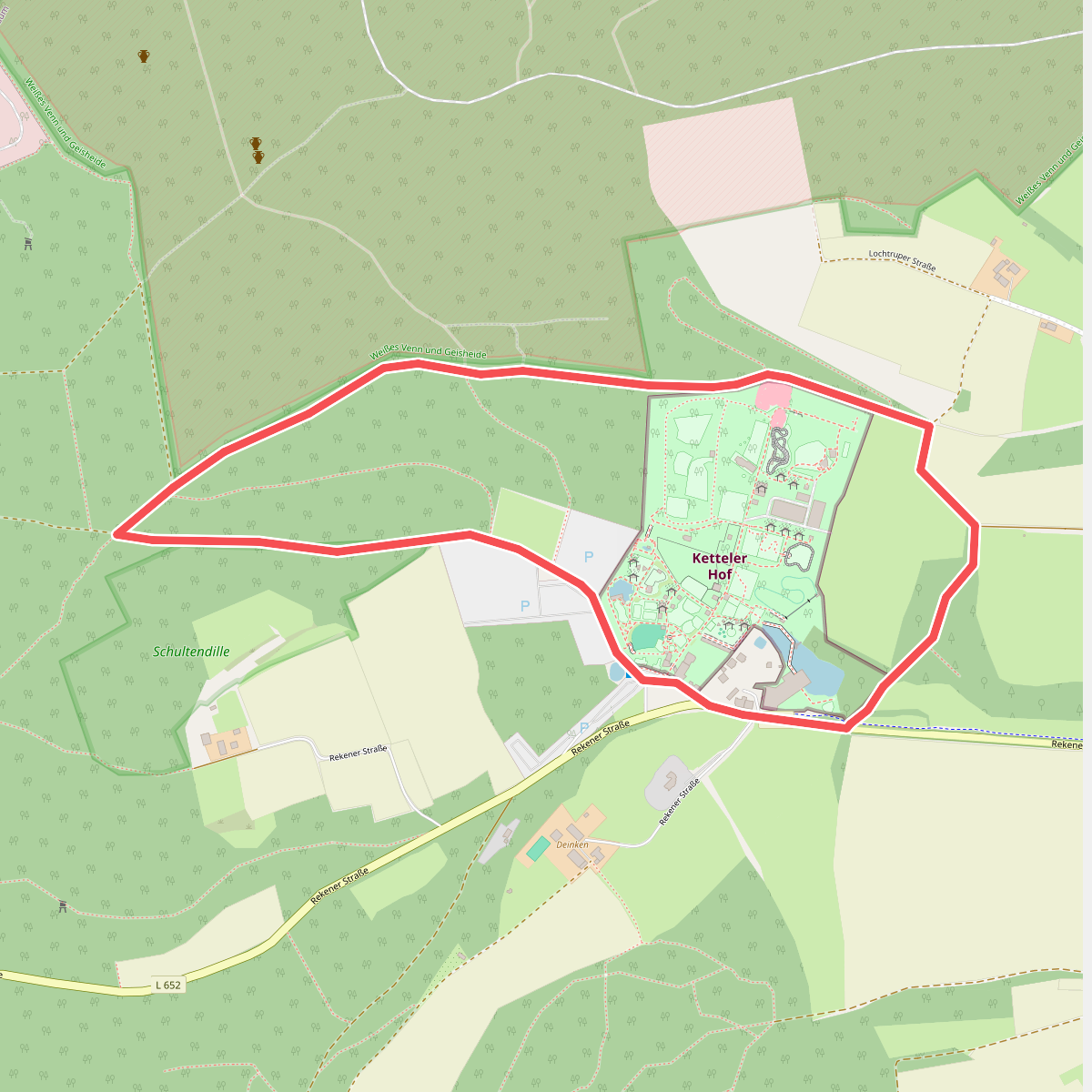
#11. Schwalbental Rundweg A1
Haltern am See
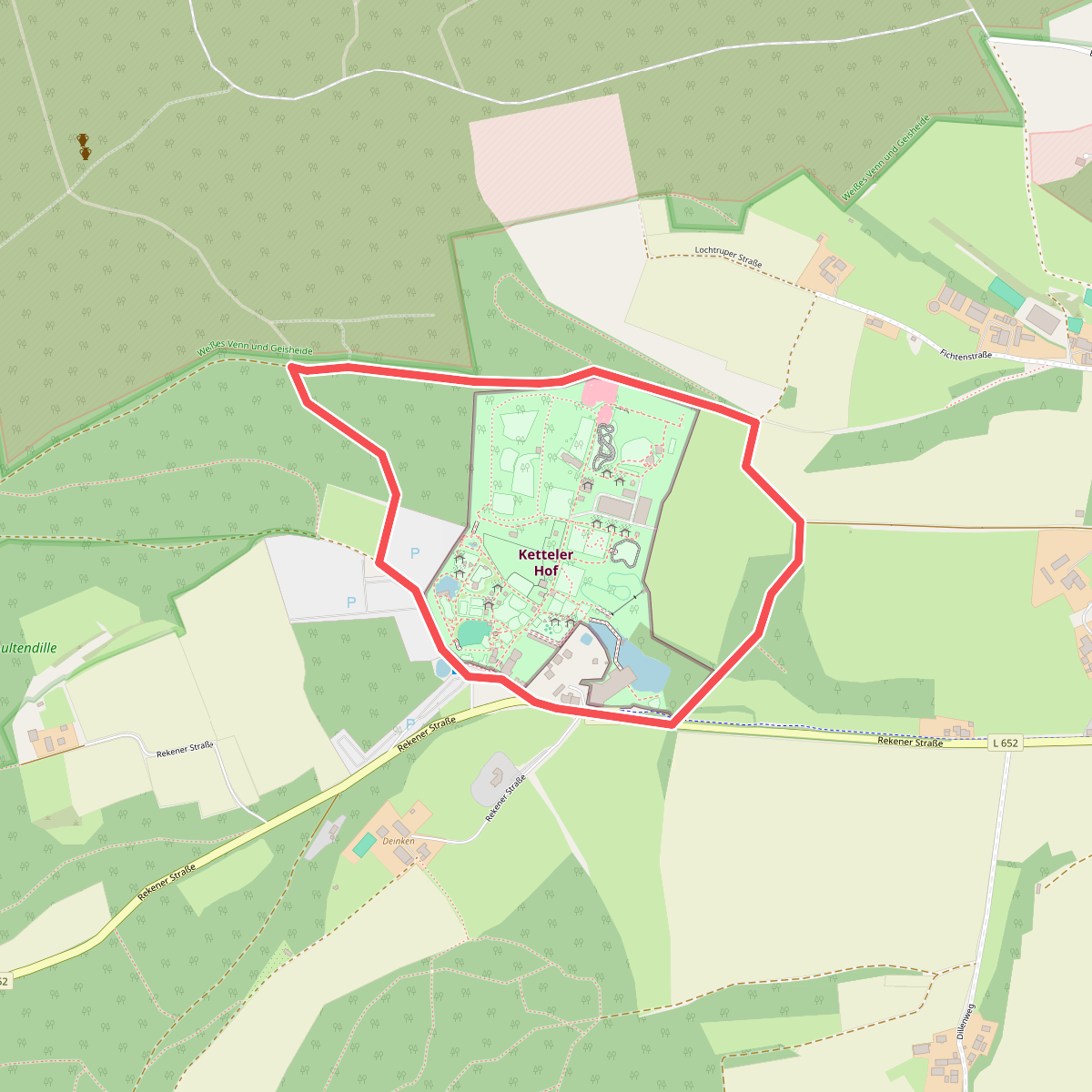
#12. Schwalbental Rundweg A6
Haltern am See



