

The best hiking routes in Gatow, Kladow und Groß-Glienicke
Discover the best walks in Gatow, Kladow und Groß-Glienicke. 9 routes on the map, with descriptions, photos and GPX.
About Gatow, Kladow und Groß-Glienicke
Gatow, Kladow und Groß-Glienicke offers a varied walking landscape along the western edge of the Havel river, where former military airfields, agricultural fields, and lakeside paths meet. Unlike the dense pine forests typical of the wider region, this area is characterized by its open, flat terrain and wide-open views across the water and fields. Walkers will notice a distinct transition from the dry, sandy soils of the former Gatow airfield to the damp, shaded paths along the Gross-Glienicker See and the Havel shore.
Read more
About Gatow, Kladow und Groß-Glienicke
Gatow, Kladow und Groß-Glienicke offers a varied walking landscape along the western edge of the Havel river, where former military airfields, agricultural fields, and lakeside paths meet. Unlike the dense pine forests typical of the wider region, this area is characterized by its open, flat terrain and wide-open views across the water and fields. Walkers will notice a distinct transition from the dry, sandy soils of the former Gatow airfield to the damp, shaded paths along the Gross-Glienicker See and the Havel shore.
Read moreGatow, Kladow und Groß-Glienicke offers a varied walking landscape along the western edge of the Havel river, where former military airfields, agricultural fields, and lakeside paths meet. Unlike the dense pine forests typical of the wider region, this area is characterized by its open, flat terrain and wide-open views across the water and fields. Walkers will notice a distinct transition from the dry, sandy soils of the former Gatow airfield to the damp, shaded paths along the Gross-Glienicker See and the Havel shore.
Underfoot, the terrain alternates between paved asphalt stretches on the old runways, soft sandy tracks through the dry grasslands, and dirt paths under the lakeside trees. The landscape is flat to gently undulating, with no steep climbs, making it easy to navigate. You will see how the division of Germany shaped this border zone, visible in the wide, cleared corridors that have now been reclaimed by pioneer birch trees and dry grasses.
In late summer, particularly in August, the dry grasslands on the former airfield turn a dusty yellow, contrasting with the deep green of the lakeside reeds. The paths near the bathing spots on the lakes can be busy with local swimmers, while the interior agricultural tracks remain quiet. This area is ideal for those who prefer open, airy walking with constant views of water and sky, rather than deep forest cover.
Hiking routes in Gatow, Kladow und Groß-Glienicke (9)

#1. 66-Seen-Wanderweg

#2. Europäischer Fernwanderweg E11, Berlin

#3. Havelhöhenweg

#4. Havelseenweg

#5. JW Berlin - Leipzig Segment Teltow - Beelitz
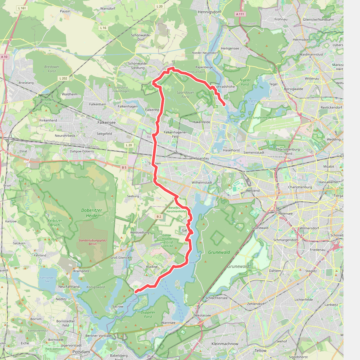
#6. Spandauer Weg

#7. Spreeweg

#8. Teltowkanalweg





