The best hiking routes in Berby landskapsvernområde
Discover the best walks in Berby landskapsvernområde. 3 routes on the map, with descriptions, photos and GPX.
Managed by Statsforvalteren i Østfold
About Berby landskapsvernområde
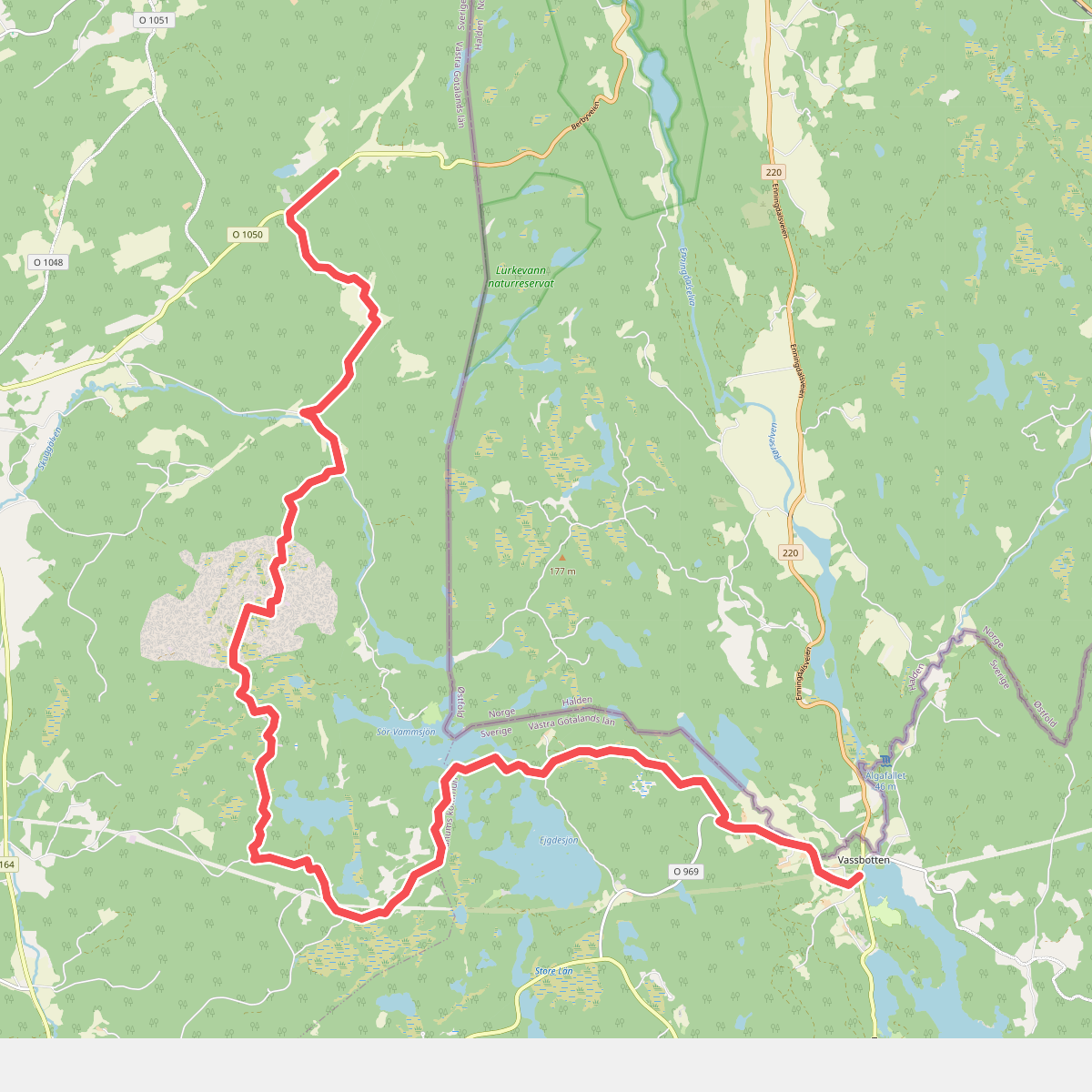
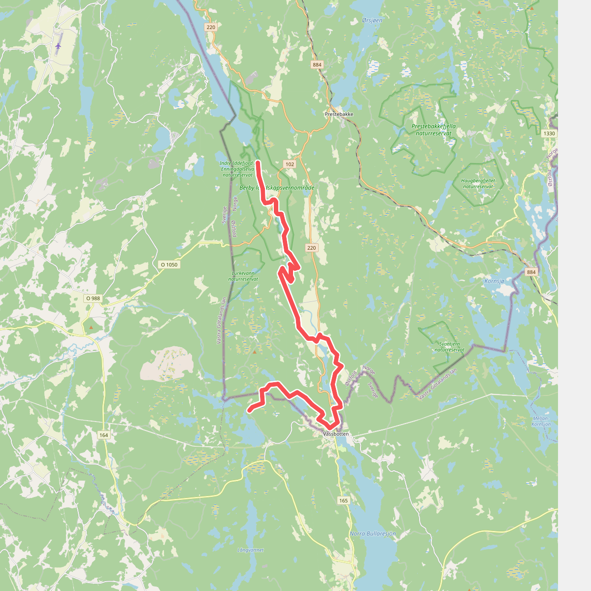
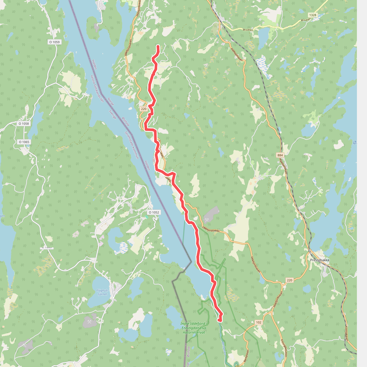
Berby landskapsvernområde offers a walk through a steep-sided river valley dominated by the Enningdalselva river, rather than the open coastal views found elsewhere in the region. The landscape is characterized by a mix of dense deciduous forests, old agricultural fields on the valley floor, and pine-covered rocky ridges. Walking here means following a network of dirt roads and forest paths that run parallel to the water, where the sound of the river is a constant companion. Unlike the flatter coastal paths nearby, this area features noticeable elevation changes as you climb from the damp riverbanks up onto the drier, stony forest floors.
Read more
About Berby landskapsvernområde
Berby landskapsvernområde offers a walk through a steep-sided river valley dominated by the Enningdalselva river, rather than the open coastal views found elsewhere in the region. The landscape is characterized by a mix of dense deciduous forests, old agricultural fields on the valley floor, and pine-covered rocky ridges. Walking here means following a network of dirt roads and forest paths that run parallel to the water, where the sound of the river is a constant companion. Unlike the flatter coastal paths nearby, this area features noticeable elevation changes as you climb from the damp riverbanks up onto the drier, stony forest floors.
Read moreBerby landskapsvernområde offers a walk through a steep-sided river valley dominated by the Enningdalselva river, rather than the open coastal views found elsewhere in the region. The landscape is characterized by a mix of dense deciduous forests, old agricultural fields on the valley floor, and pine-covered rocky ridges. Walking here means following a network of dirt roads and forest paths that run parallel to the water, where the sound of the river is a constant companion. Unlike the flatter coastal paths nearby, this area features noticeable elevation changes as you climb from the damp riverbanks up onto the drier, stony forest floors.
Underfoot, the terrain varies from soft, mossy earth and leaf litter under the oak canopy to firmer gravel tracks near the old farmsteads. In May, the forest floor is covered with spring flowers before the canopy closes, while the river itself is a central feature, known for its salmon run later in the summer. The paths are generally well-defined, but tree roots and rocky sections require steady footing.
This protected area is not a place for wide mountain vistas or high-altitude hiking. Instead, it provides a sheltered, enclosed forest experience focused on the river corridor and its historical farming landscape. It is often quieter than the busy coastal trails, making it a suitable choice if you prefer shaded woodland walks and river views over open sea horizons.