

The best hiking routes in Begatal
Discover the best walks in Begatal. 17 routes on the map, with descriptions, photos and GPX.
About Begatal
The Begatal offers a walk through a classic North Rhine-Westphalian river valley, shaped by the gentle flow of the Bega. Unlike the dry, sandy pine forests of the nearby Senne, this area is defined by damp alluvial meadows, dense riverside alder woods, and rolling clay hills. Walkers will notice how the landscape transitions from wide, open floodplains to narrow, shaded corridors where the river cuts closer to the wooded slopes. Underfoot, the paths alternate between firm agricultural tracks and softer, earthen paths that follow the natural curves of the watercourse.
Read more
About Begatal
The Begatal offers a walk through a classic North Rhine-Westphalian river valley, shaped by the gentle flow of the Bega. Unlike the dry, sandy pine forests of the nearby Senne, this area is defined by damp alluvial meadows, dense riverside alder woods, and rolling clay hills. Walkers will notice how the landscape transitions from wide, open floodplains to narrow, shaded corridors where the river cuts closer to the wooded slopes. Underfoot, the paths alternate between firm agricultural tracks and softer, earthen paths that follow the natural curves of the watercourse.
Read moreThe Begatal offers a walk through a classic North Rhine-Westphalian river valley, shaped by the gentle flow of the Bega. Unlike the dry, sandy pine forests of the nearby Senne, this area is defined by damp alluvial meadows, dense riverside alder woods, and rolling clay hills. Walkers will notice how the landscape transitions from wide, open floodplains to narrow, shaded corridors where the river cuts closer to the wooded slopes. Underfoot, the paths alternate between firm agricultural tracks and softer, earthen paths that follow the natural curves of the watercourse.
Reading the landscape here reveals centuries of traditional land use. The flat valley floor is a patchwork of pastures and wet meadows, kept open by grazing and mowing, while the steeper valley sides are left to beech and oak trees. You will see drainage ditches and small tributary streams cutting through the fields to meet the main river, showing how water is managed across this working countryside. It is a landscape of gentle, rolling transitions rather than dramatic elevation changes.
While the main tracks are easy to navigate, the paths closer to the riverbanks can feel more enclosed and rustic. The area is generally peaceful, though the sections near local villages and bridging points naturally attract more foot traffic. For those seeking a quiet, low-key walk through a traditional German river valley, the Begatal provides a reliable, unpretentious route dominated by the sound of flowing water and the sight of green pastures.
Hiking routes in Begatal (17)
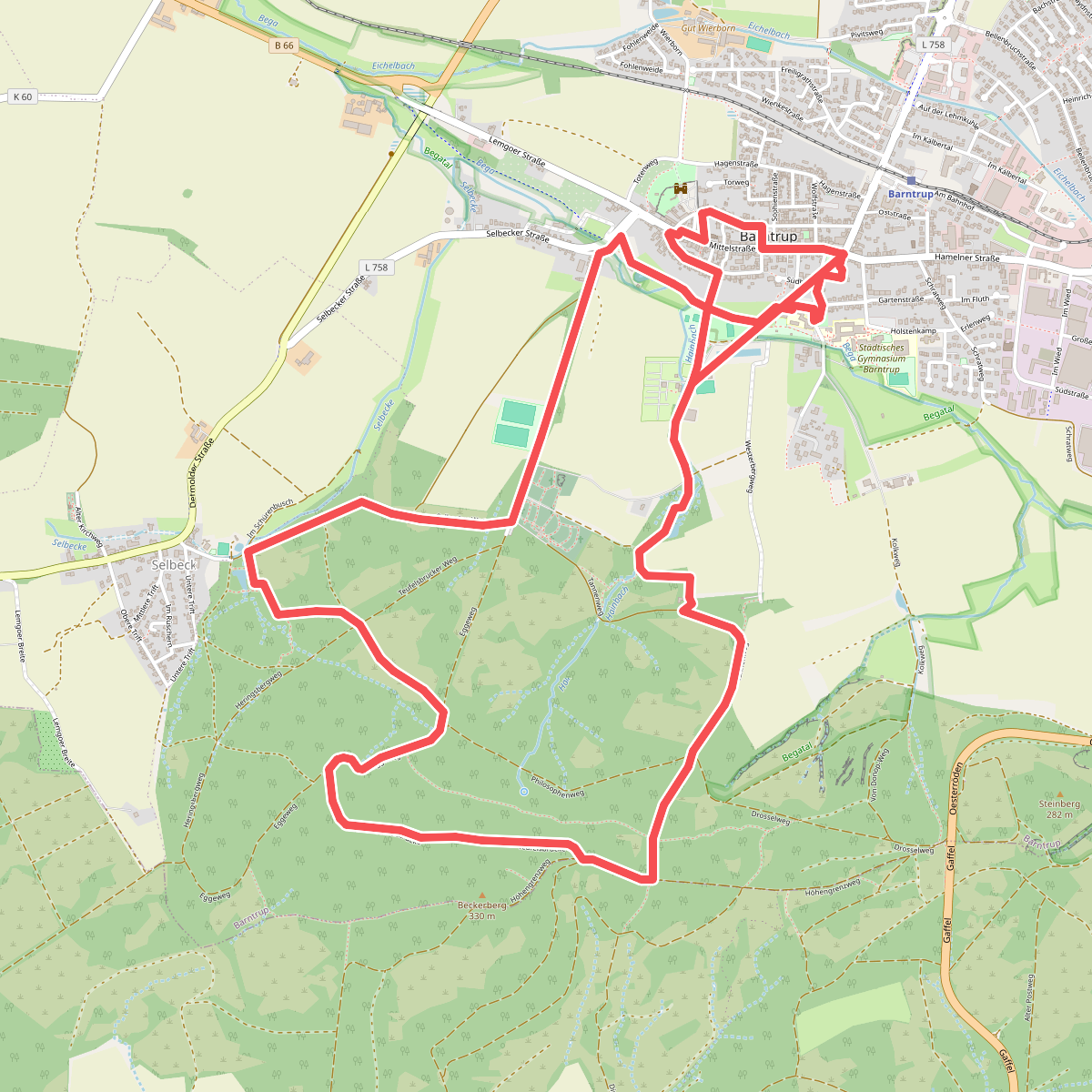
#1. Barntruper Kunstpfad
Barntrup,Blomberg
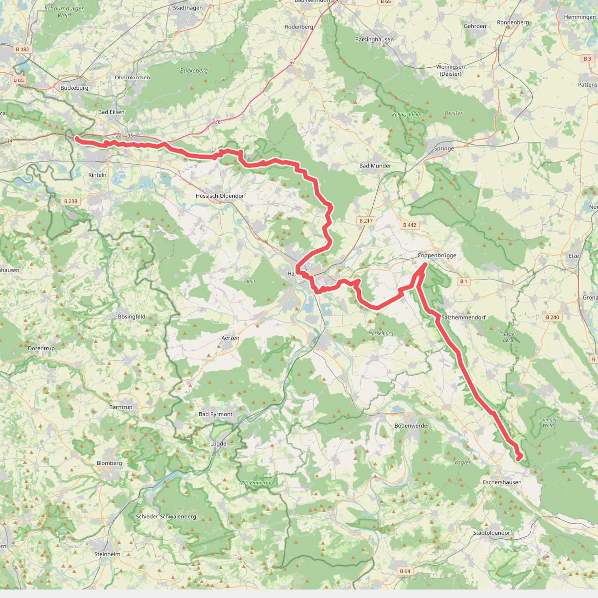
#2. Europäischer Fernwanderweg E11, Niedersachsen (M)
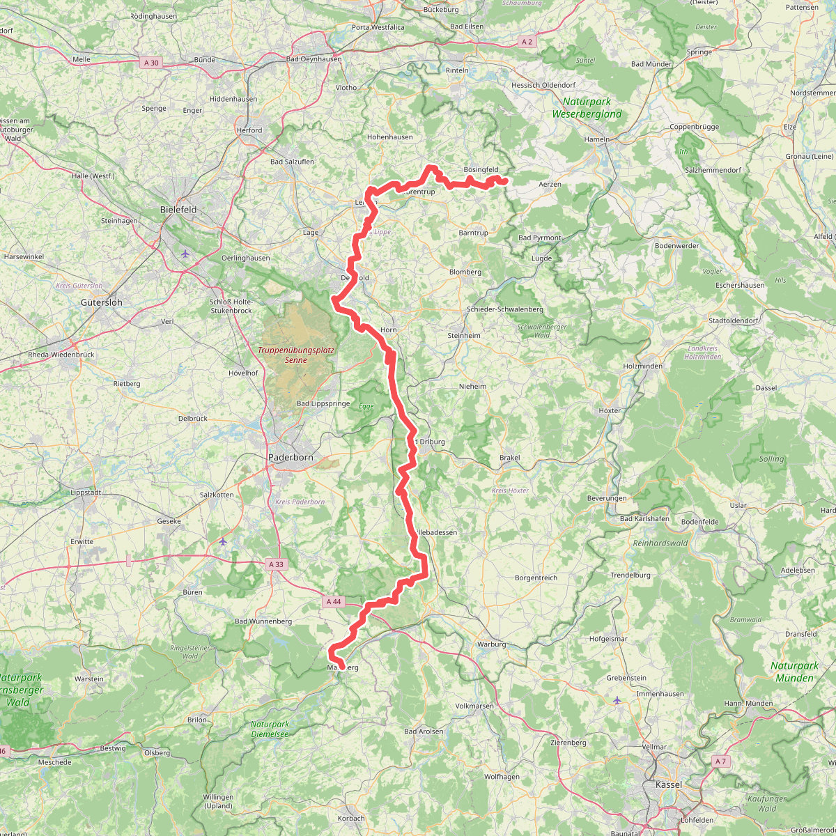
#3. European Long distance path E1 - part Germany, Nordrhein-Westfalen (North)
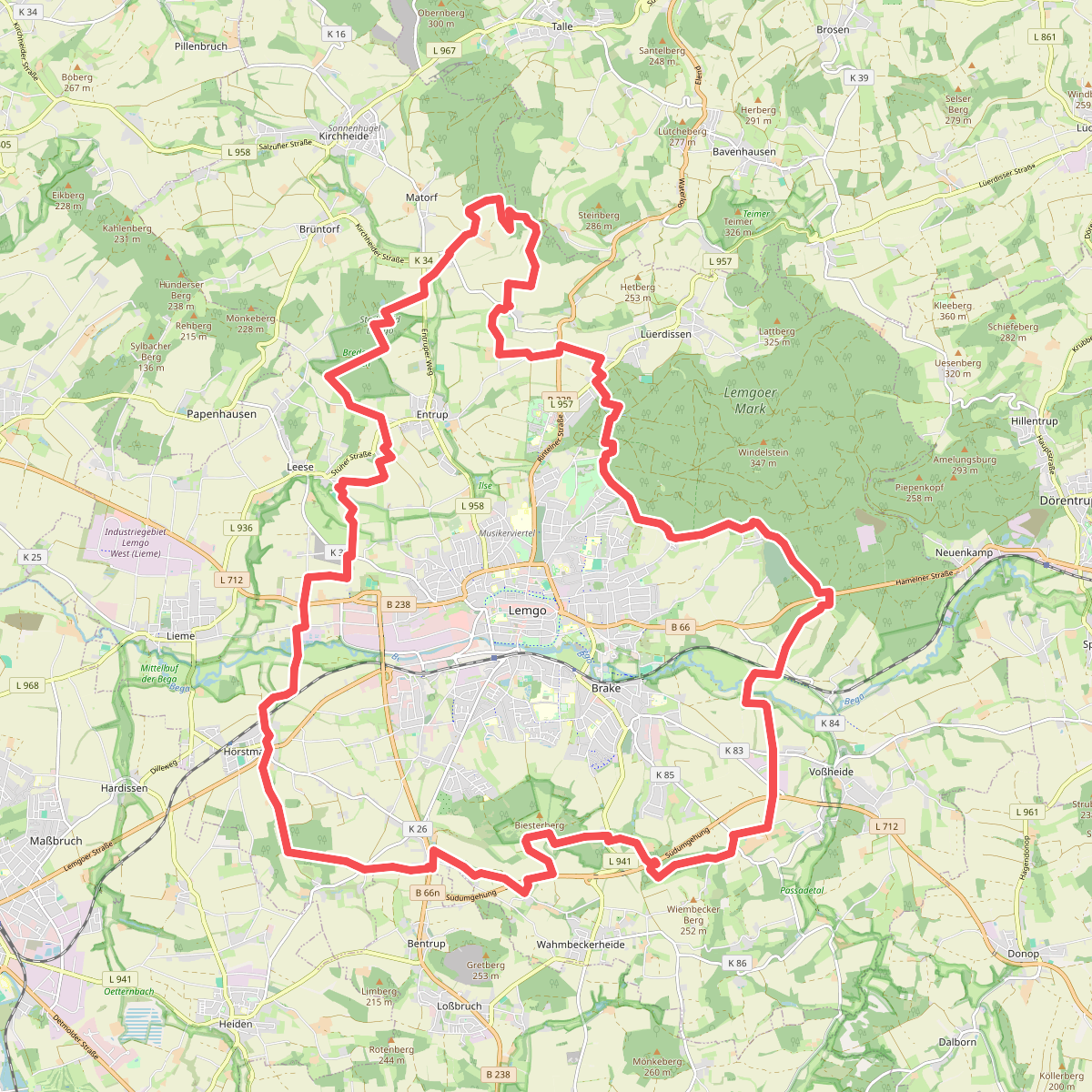
#4. Landwehrweg
Lemgo
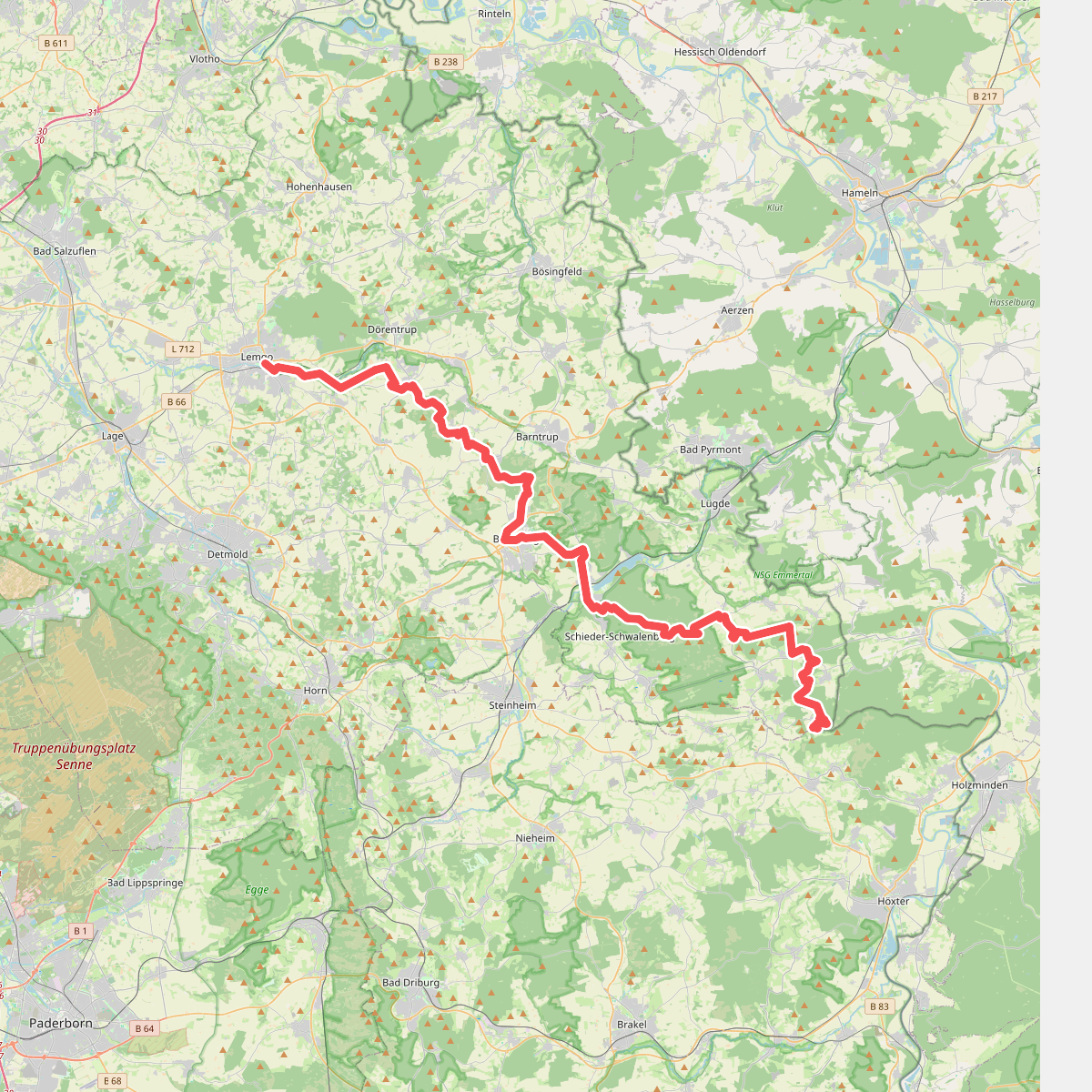
#5. Lipperlandweg
Lemgo,Dörentrup,Blomberg,Barntrup,Schieder-Schwalenberg
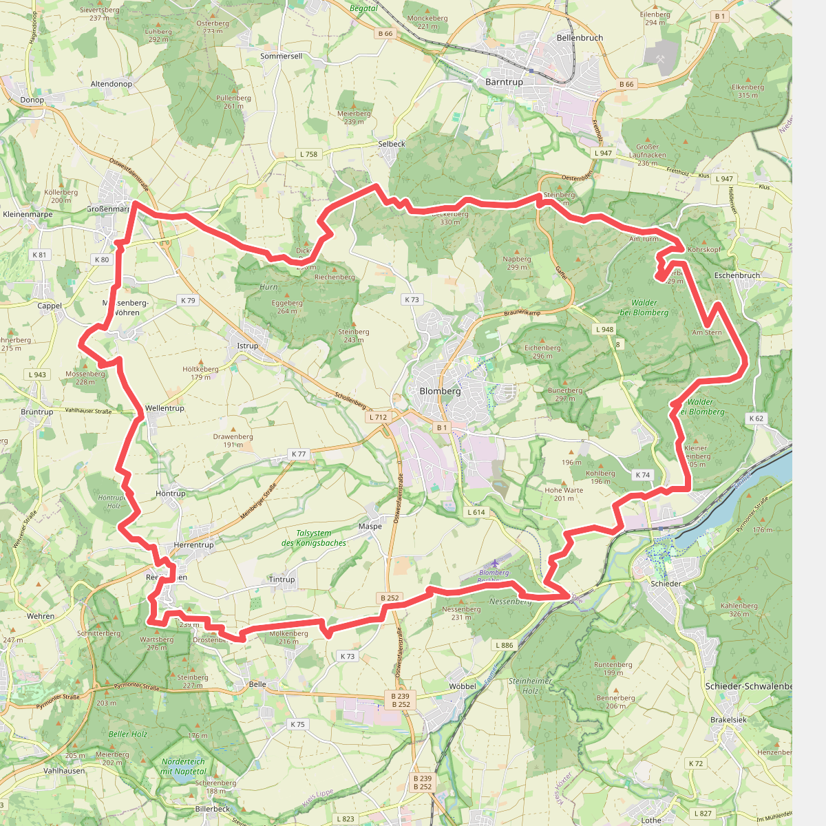
#6. Nelkenweg
Blomberg,Schieder-Schwalenberg,Barntrup
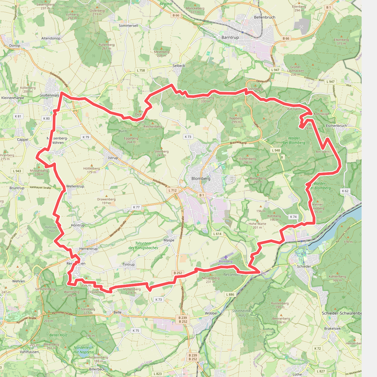
#7. Nelkenweg- mooi wandelwegen rondom Blomberg
Blomberg,Barntrup,Schieder-Schwalenberg
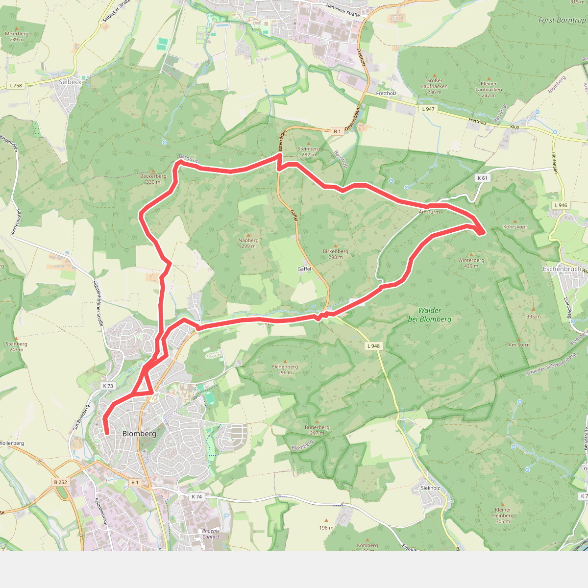
#8. Nelkenweg (+zijweg 2+3) ID 1553723
Blomberg
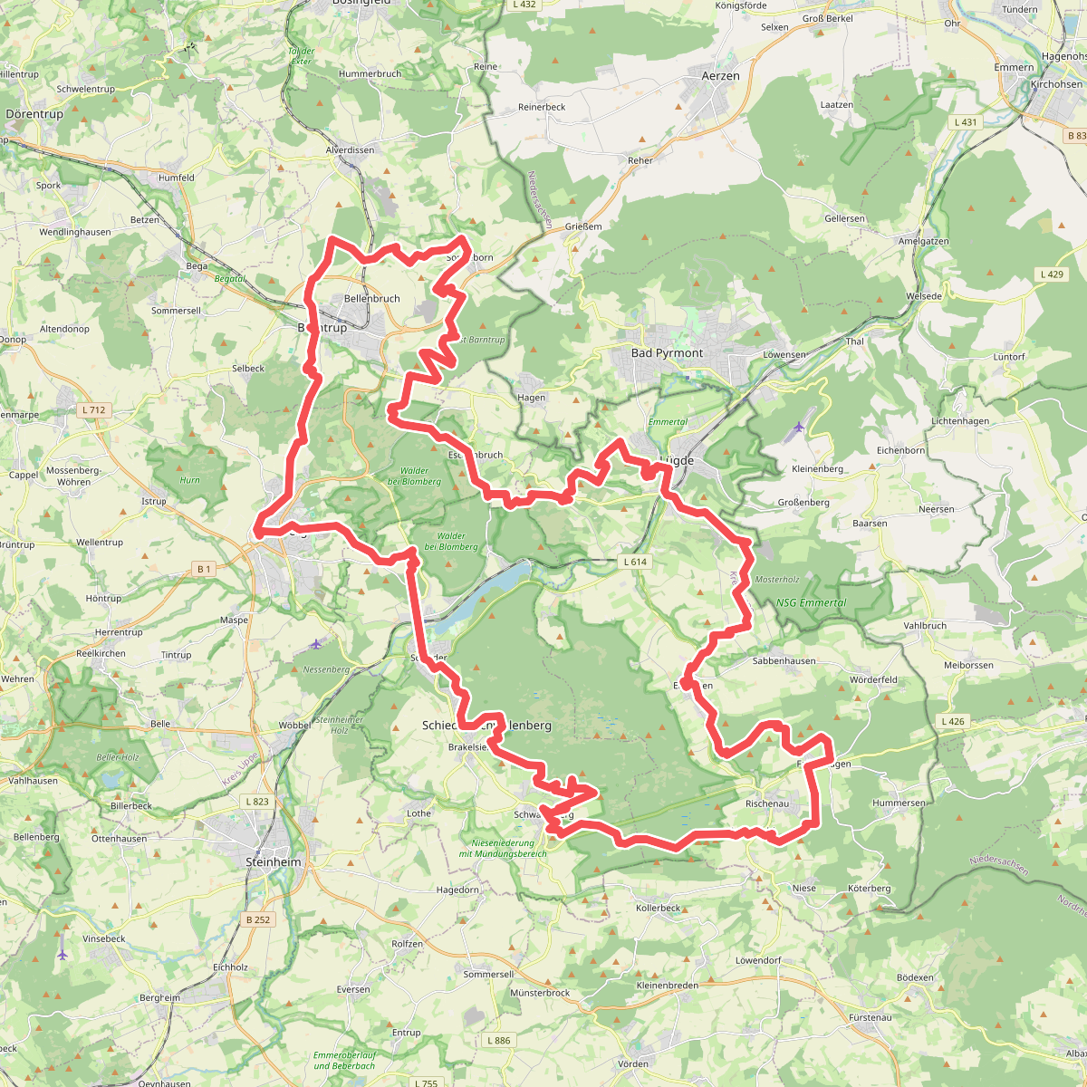
#9. Pilgern in Lippe (Ostschleife)
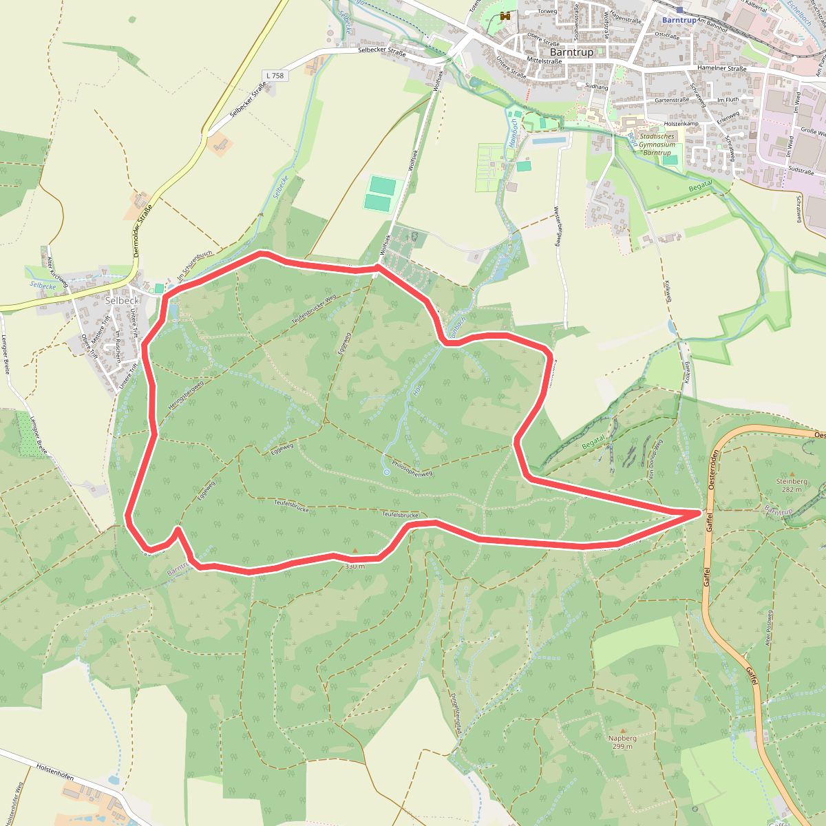
#10. Rundwanderweg A1 Gaffel
Barntrup,Blomberg
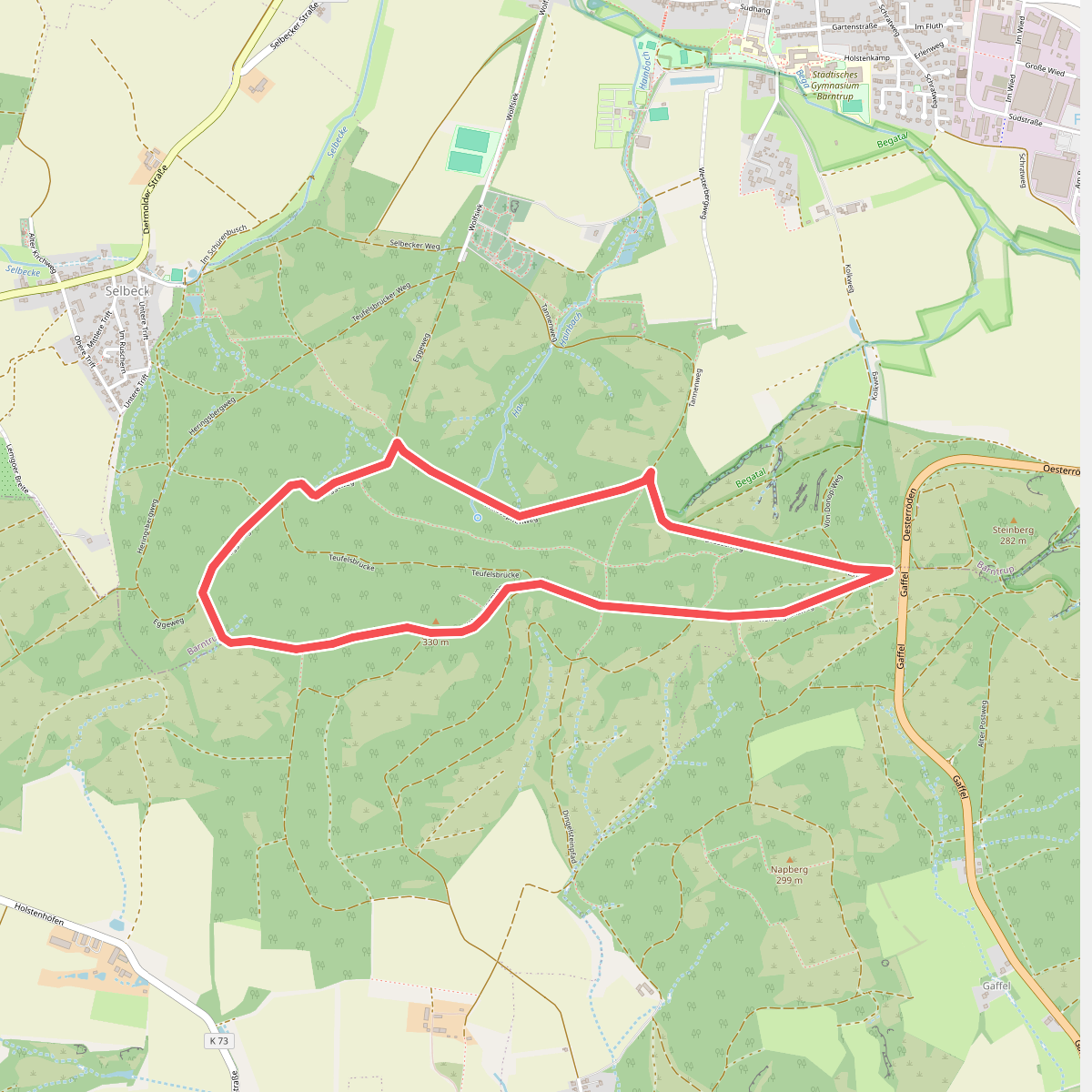
#11. Rundwanderweg A3 Gaffel
Barntrup,Blomberg
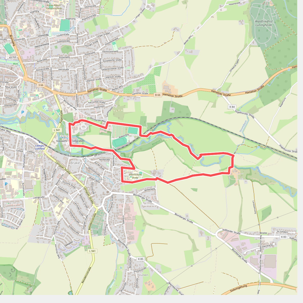
#12. Rundweg Brake-Begatal A1
Lemgo




