

The best hiking routes in Veluwerandmeren
Discover the best walks in Veluwerandmeren. 29 routes on the map, with descriptions, photos and GPX.
Managed by Staatsbosbeheer;Rijkswaterstaat;Natuurmonumenten
About Veluwerandmeren
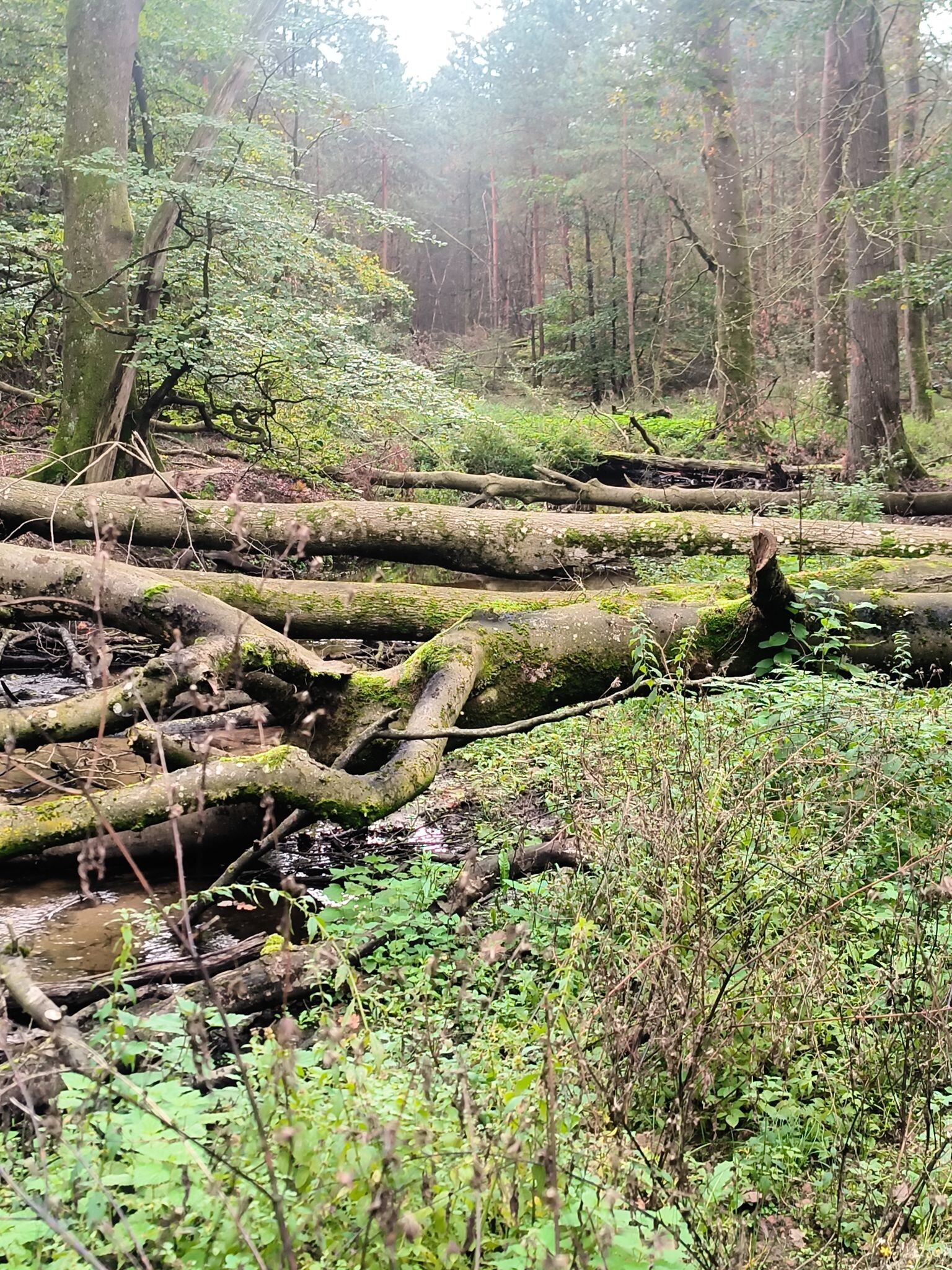
The Veluwerandmeren is a landscape of shallow border lakes, reed beds, and reclaimed polder clay, sitting directly between the old Veluwe forests and the flat agricultural land of Flevoland. Unlike the deep inland woods nearby, this area is defined by its open, watery margins and artificial shorelines. Walkers will find a mix of damp grassy dikes, paved cycle paths, and muddy shoreline tracks rather than dry sandy forest paths. It is a highly managed landscape where dikes and sluices control the water levels, creating a distinct contrast between the straight lines of the polders and the irregular reed fringes.
Read more
About Veluwerandmeren
The Veluwerandmeren is a landscape of shallow border lakes, reed beds, and reclaimed polder clay, sitting directly between the old Veluwe forests and the flat agricultural land of Flevoland. Unlike the deep inland woods nearby, this area is defined by its open, watery margins and artificial shorelines. Walkers will find a mix of damp grassy dikes, paved cycle paths, and muddy shoreline tracks rather than dry sandy forest paths. It is a highly managed landscape where dikes and sluices control the water levels, creating a distinct contrast between the straight lines of the polders and the irregular reed fringes.
Read moreThe Veluwerandmeren is a landscape of shallow border lakes, reed beds, and reclaimed polder clay, sitting directly between the old Veluwe forests and the flat agricultural land of Flevoland. Unlike the deep inland woods nearby, this area is defined by its open, watery margins and artificial shorelines. Walkers will find a mix of damp grassy dikes, paved cycle paths, and muddy shoreline tracks rather than dry sandy forest paths. It is a highly managed landscape where dikes and sluices control the water levels, creating a distinct contrast between the straight lines of the polders and the irregular reed fringes.
Walking here means navigating the transition from land to water. The underfoot conditions vary from hard asphalt on the dikes to soft, waterlogged clay and grass paths along the banks, particularly near the shallow bays where water birds gather. You will not find any hills or deep valleys here; the terrain is entirely flat, with views dominated by the water, passing boats, and the distant tree line of the Veluwe on one side and the modern wind turbines of Flevoland on the other.
In late autumn, particularly around November, the area becomes a major stopover for thousands of migrating waterfowl, making the shoreline paths near the reed beds excellent for birdwatching. While the busier marinas and beach areas can attract crowds, the grassy dikes and quieter nature strips managed by Staatsbosbeheer offer straightforward, level walking for those who prefer wide-open, watery landscapes over dense woodland.
Hiking routes in Veluwerandmeren (29)
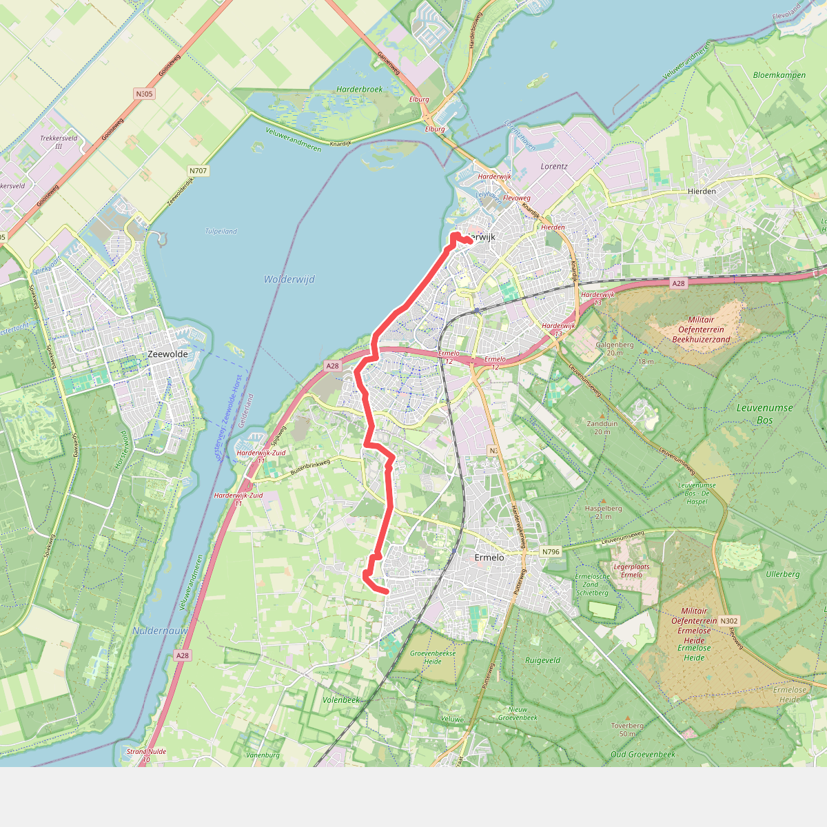
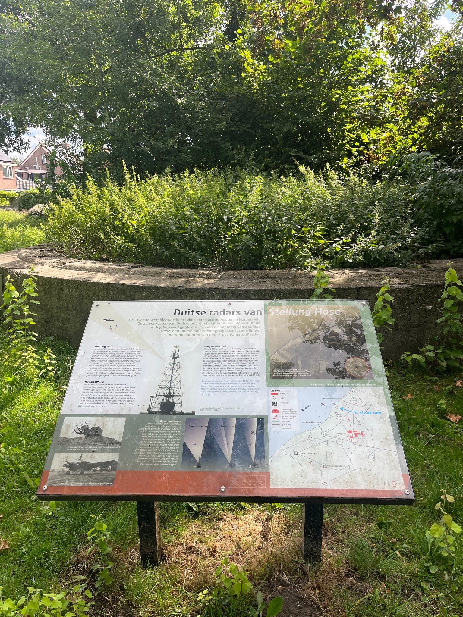
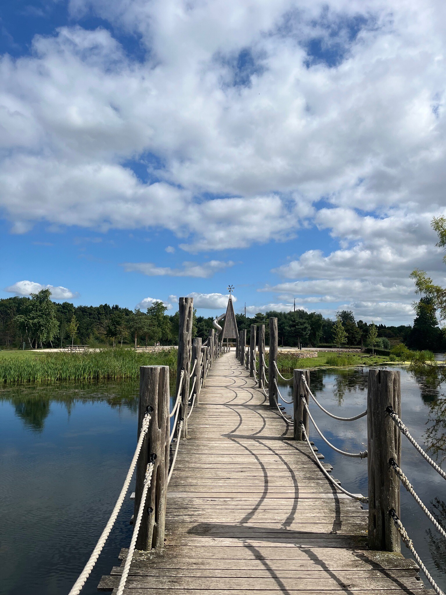
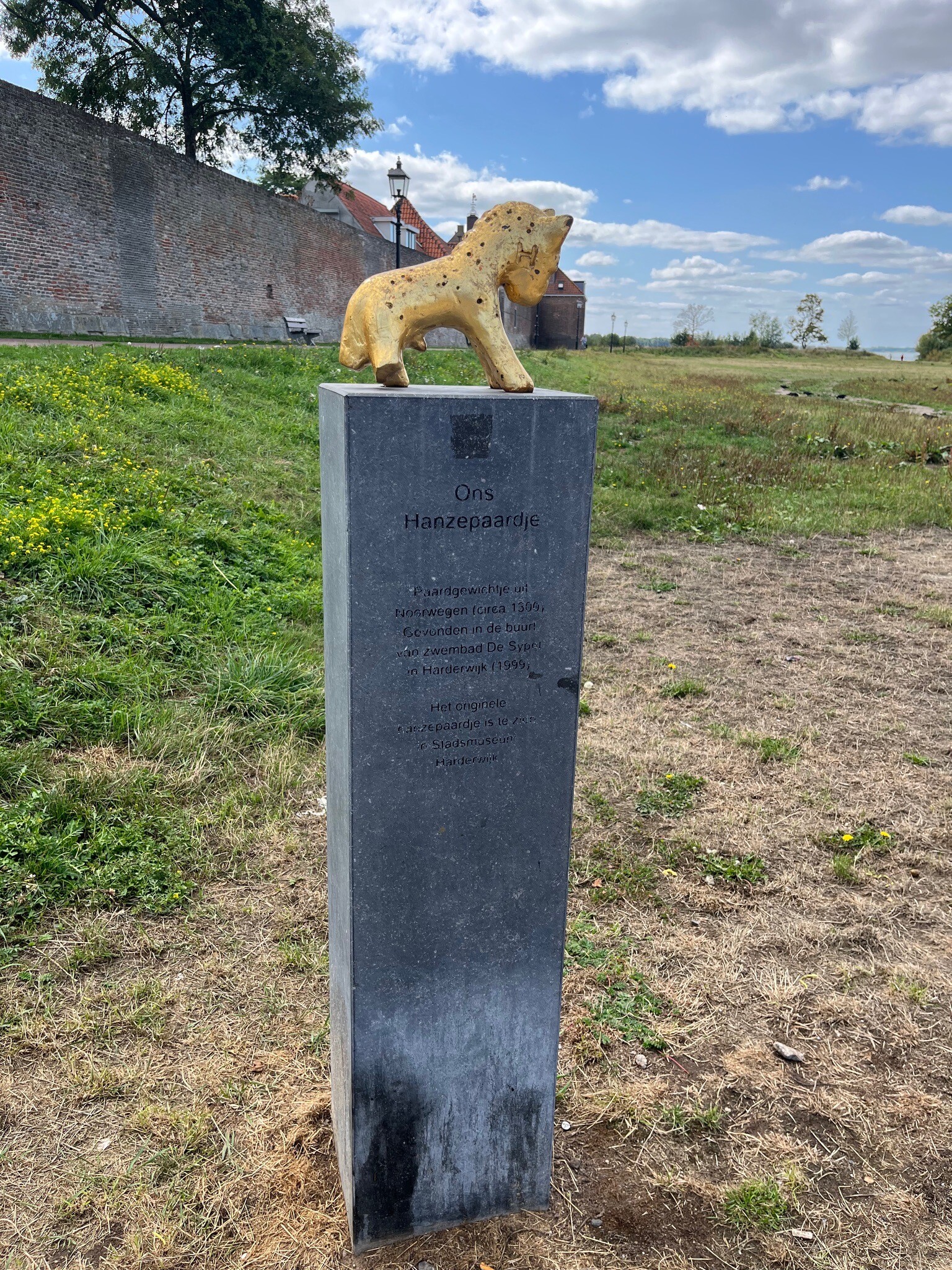
#1. Ermelo - Harderwijk · Zuiderzeepad etappe 12
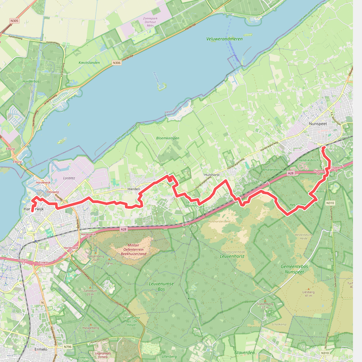
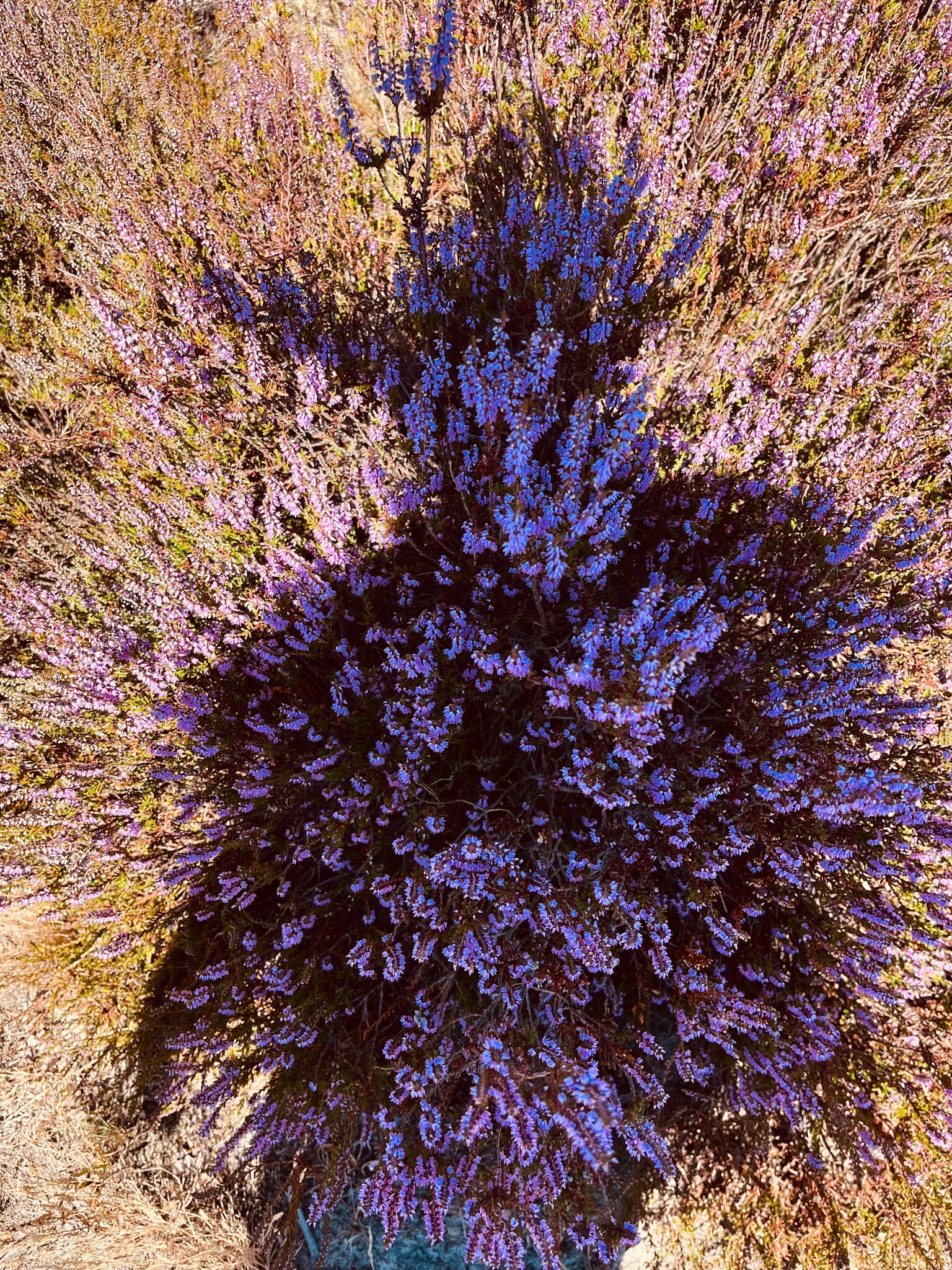
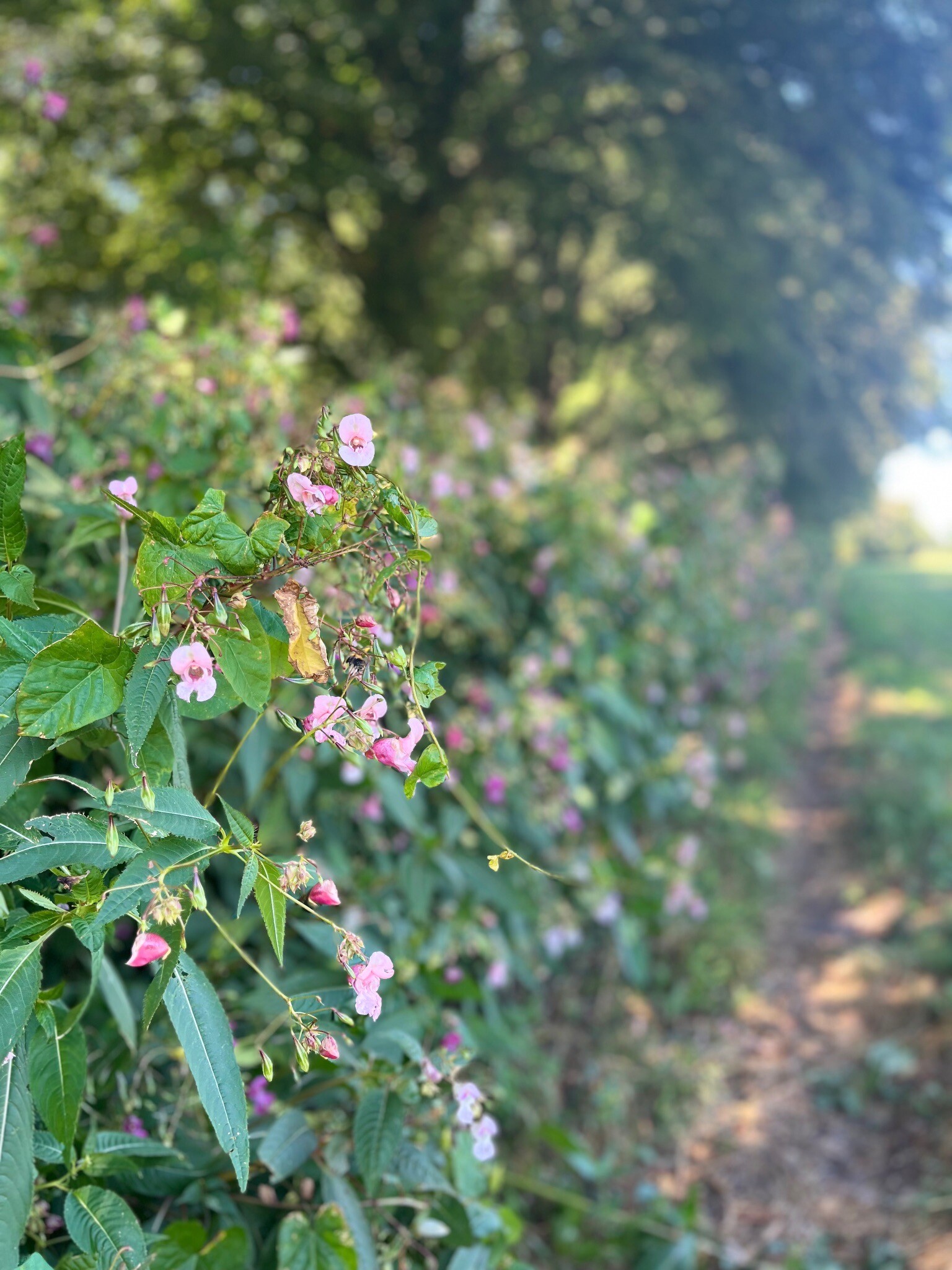
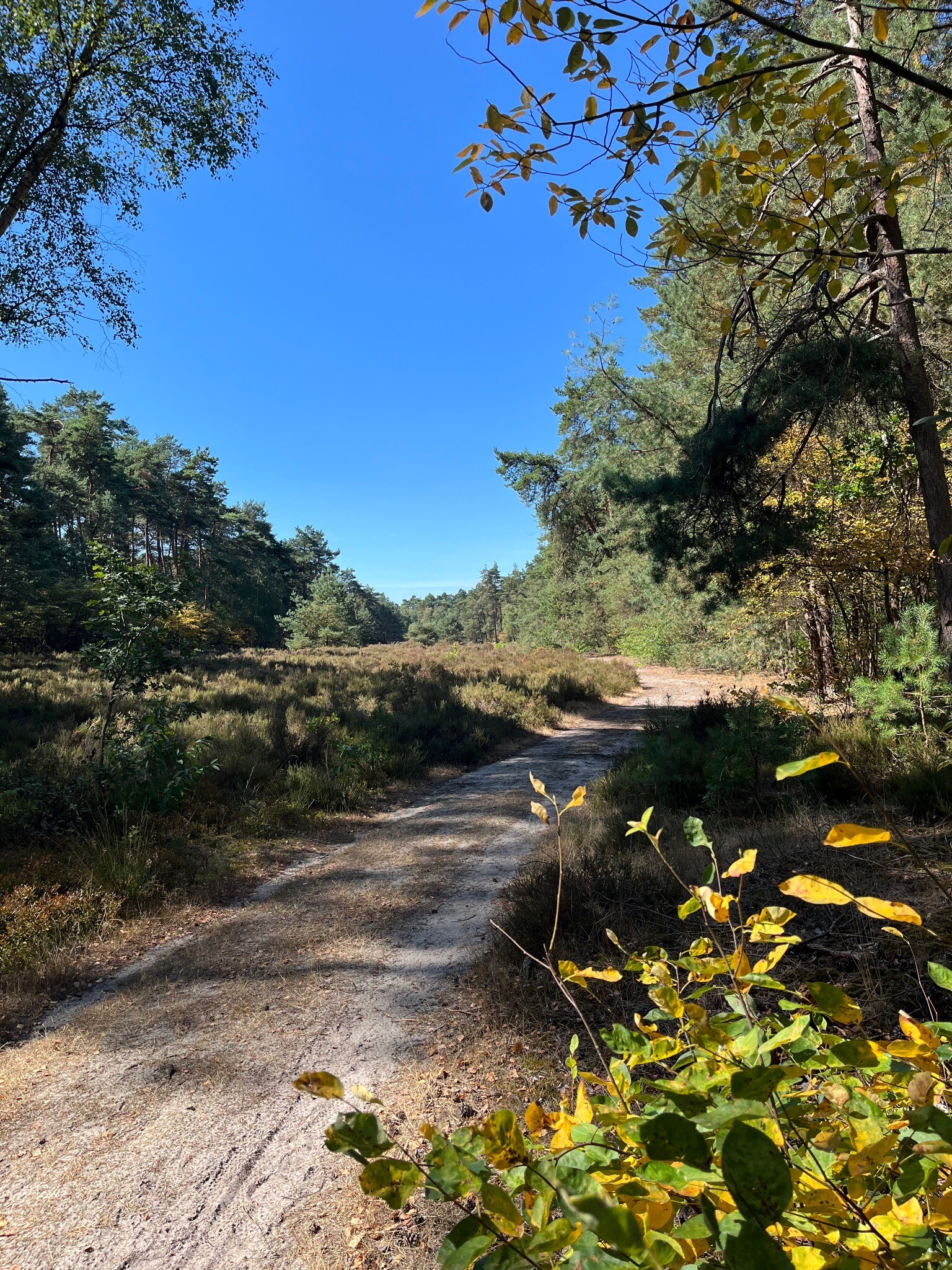
#2. Harderwijk - Nunspeet · Zuiderzeepad etappe 13
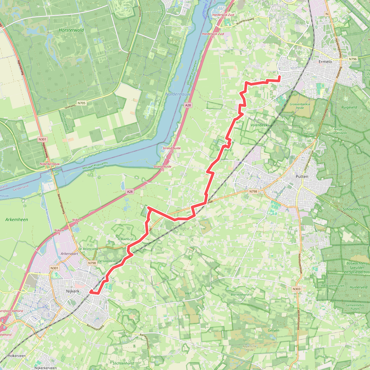


#3. Nijkerk - Ermelo · Zuiderzeepad etappe 11
Nijkerk,Putten
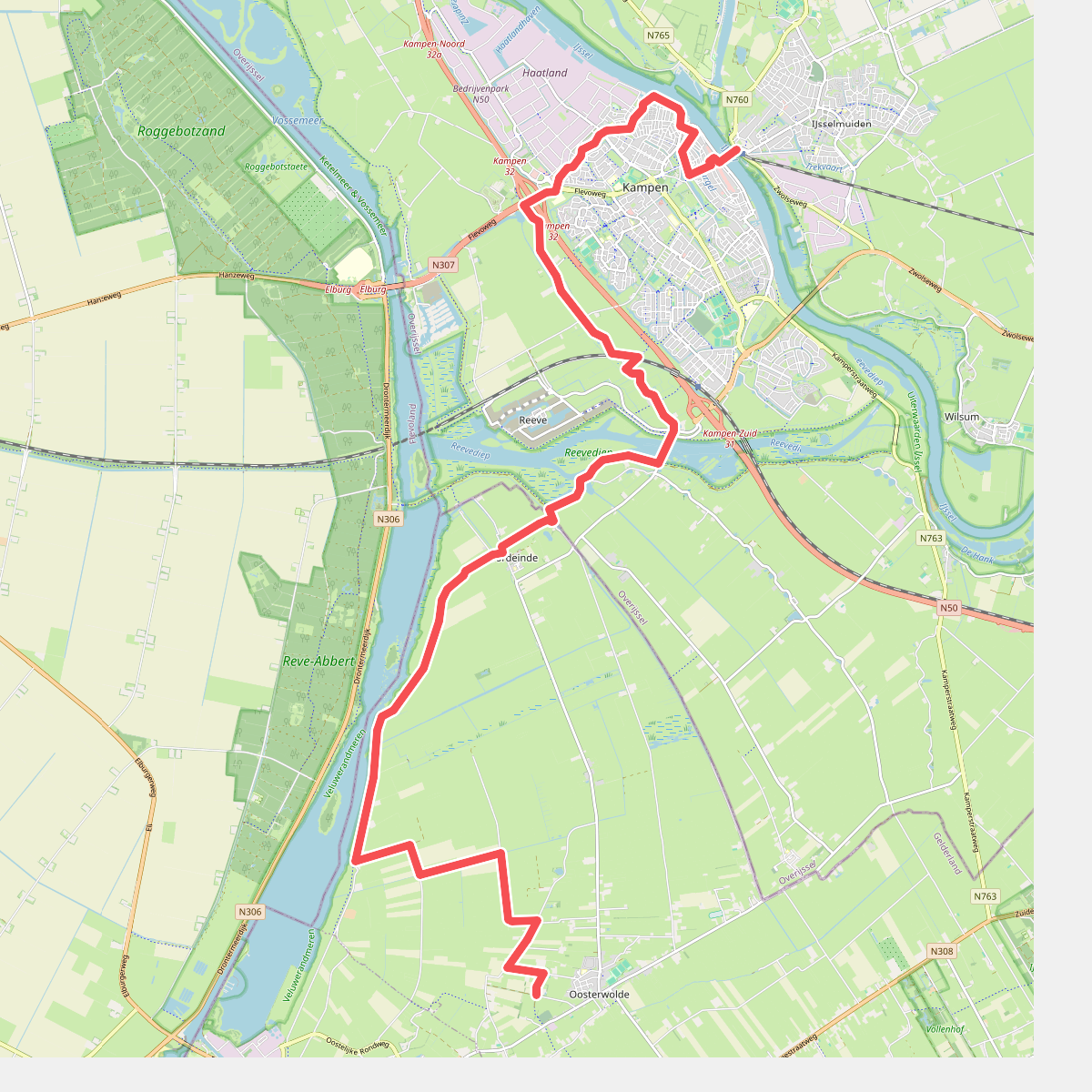
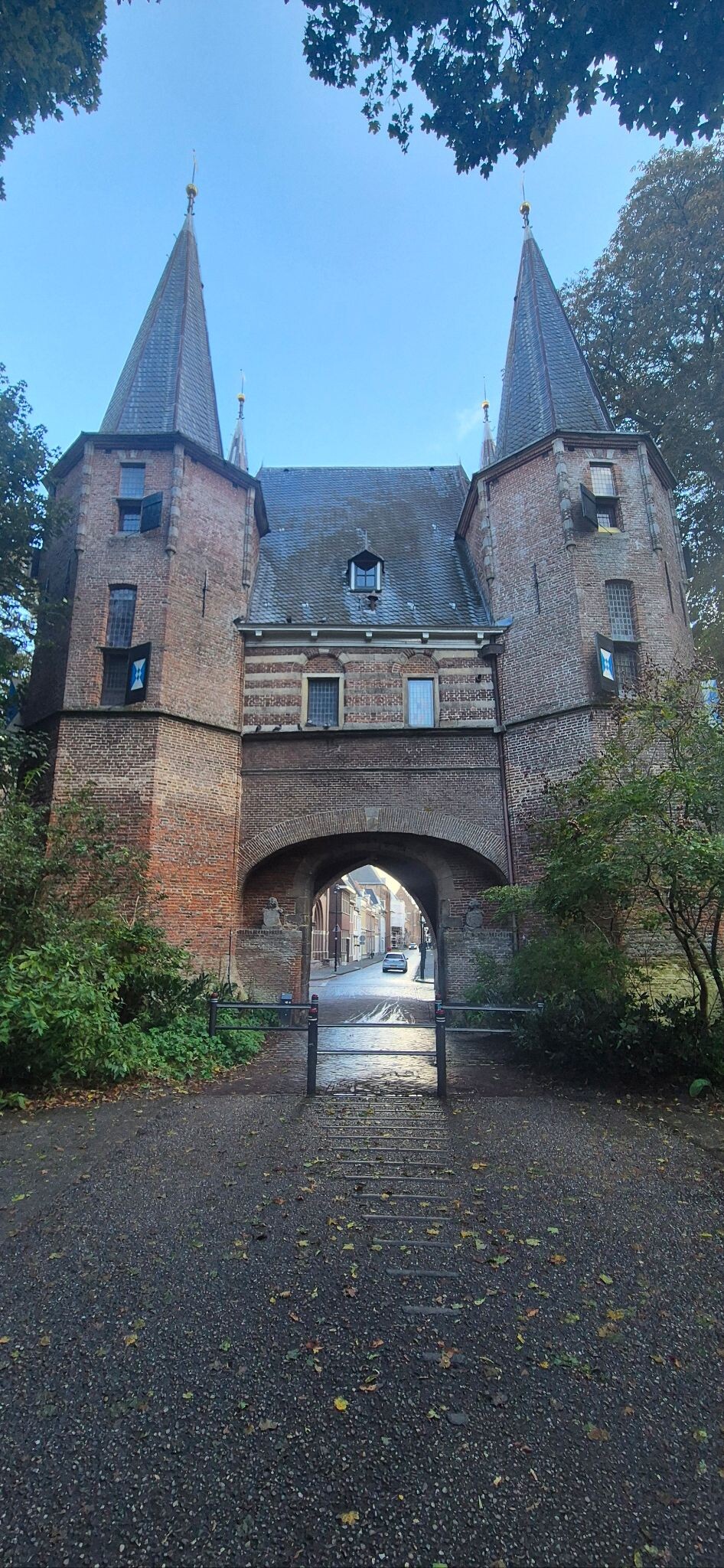
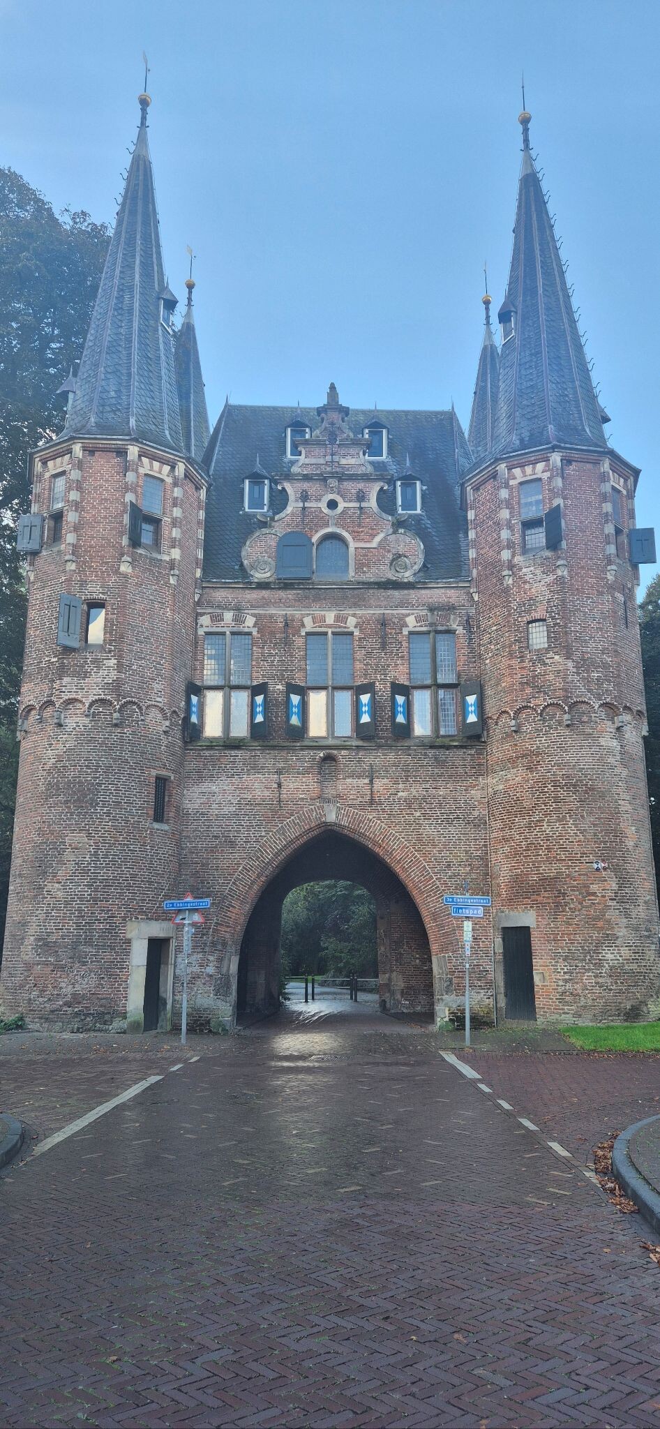
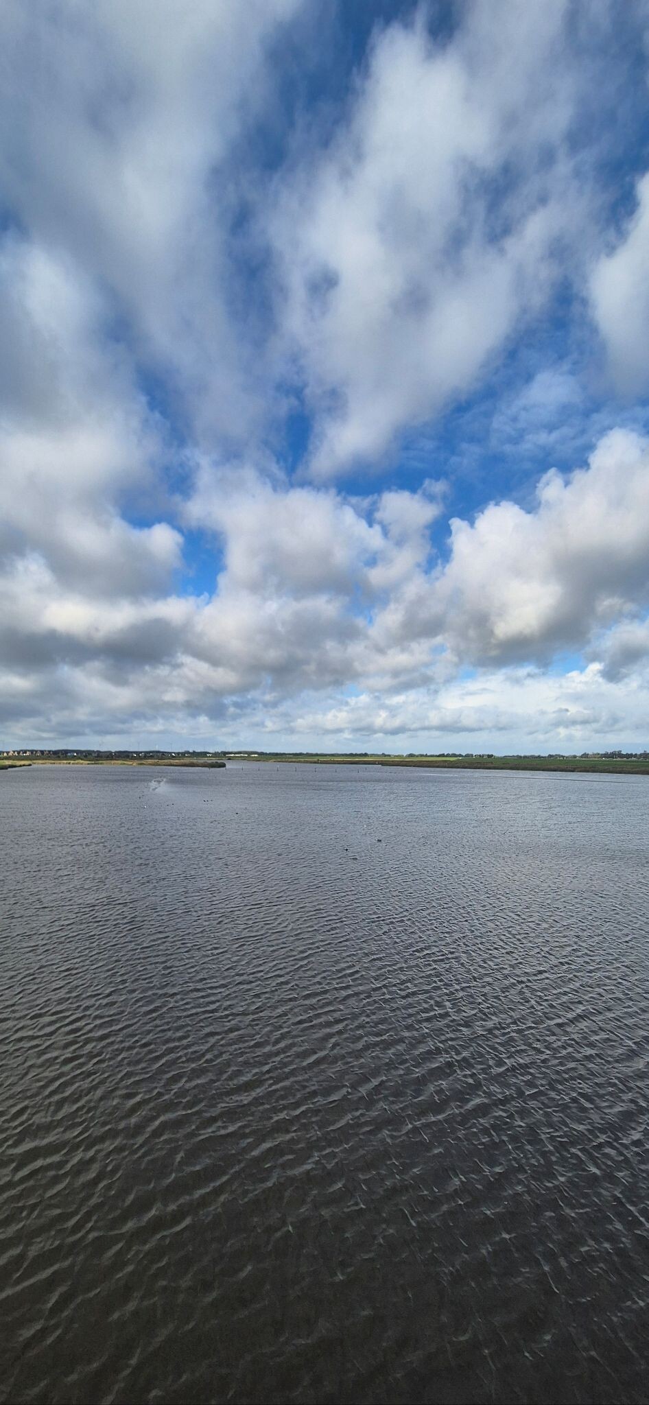
#4. Oosterwolde - Kampen · Zuiderzeepad etappe 15
Oosterwolde Gld
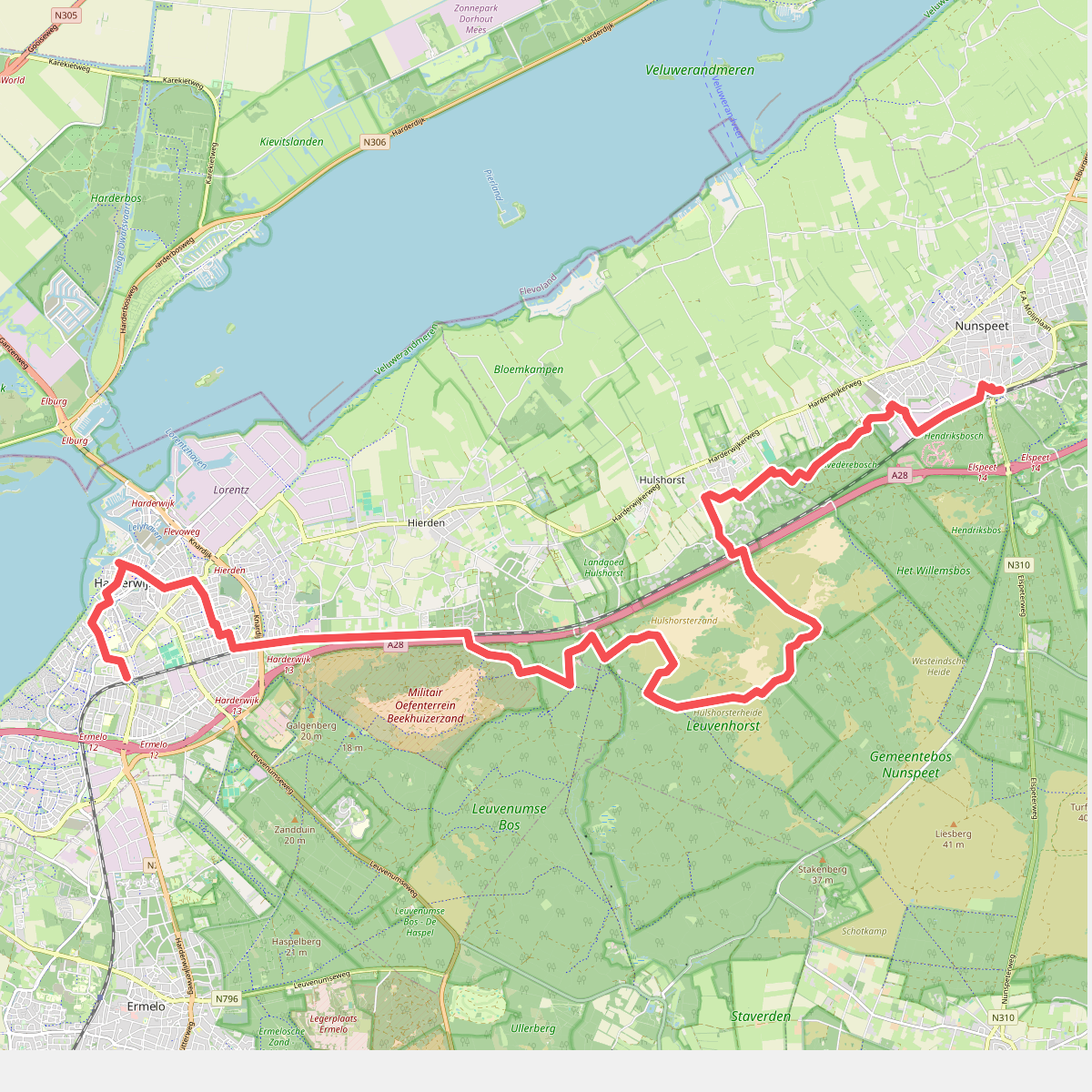


#5. Station Harderwijk - Station Nunspeet · Westerborkpad etappe 13
Harderwijk,Hierden,Hulshorst,Nunspeet
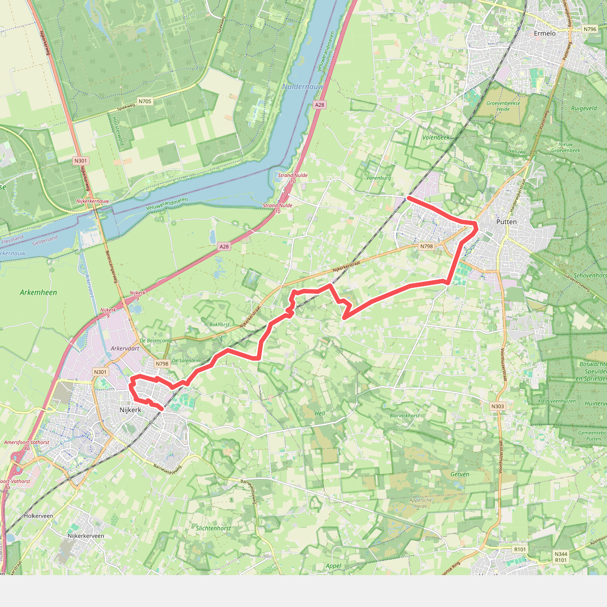


#6. Station Nijkerk - Station Putten · Westerborkpad etappe 11
Nijkerk,Putten
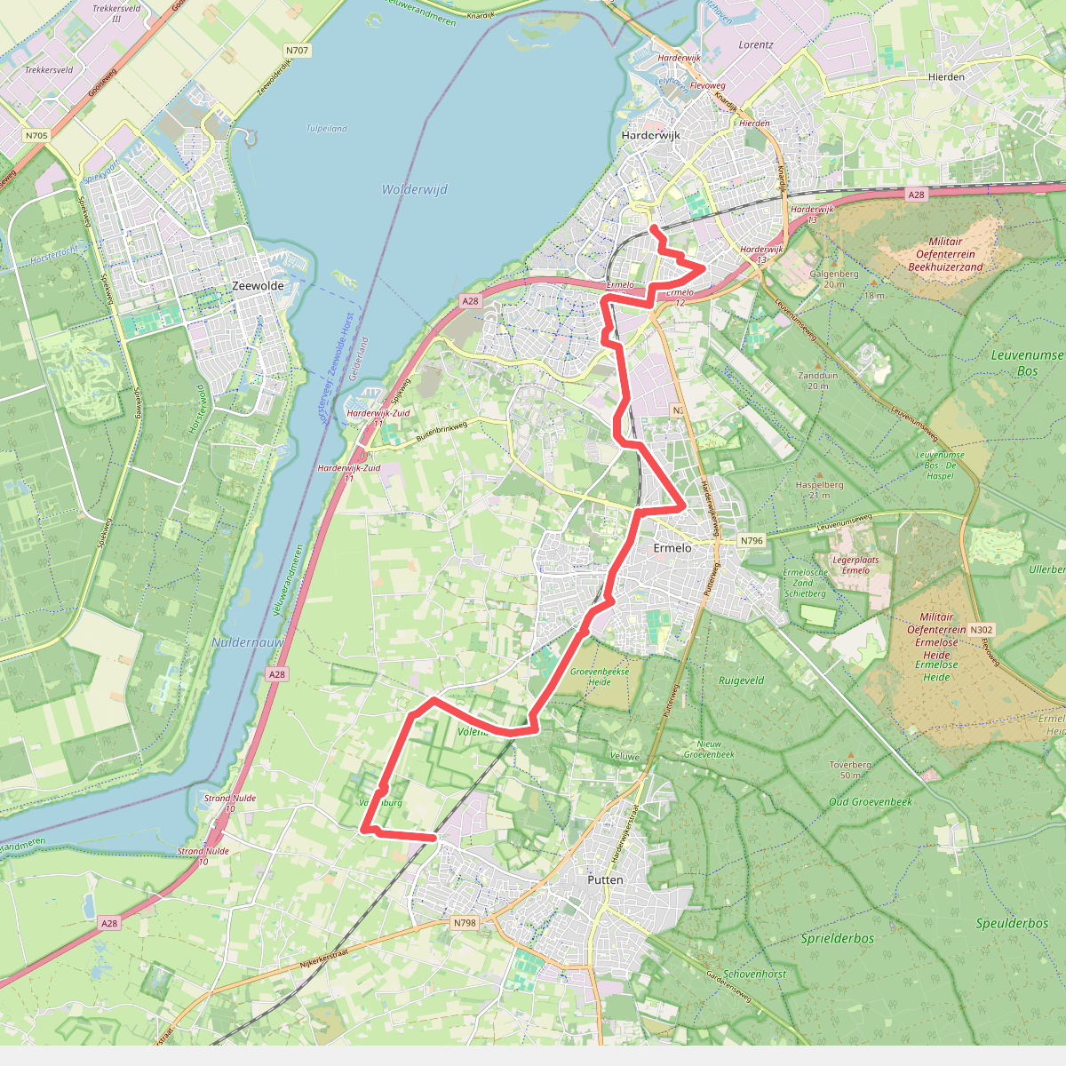


#7. Station Putten - Station Harderwijk · Westerborkpad etappe 12
Putten,Ermelo,Harderwijk
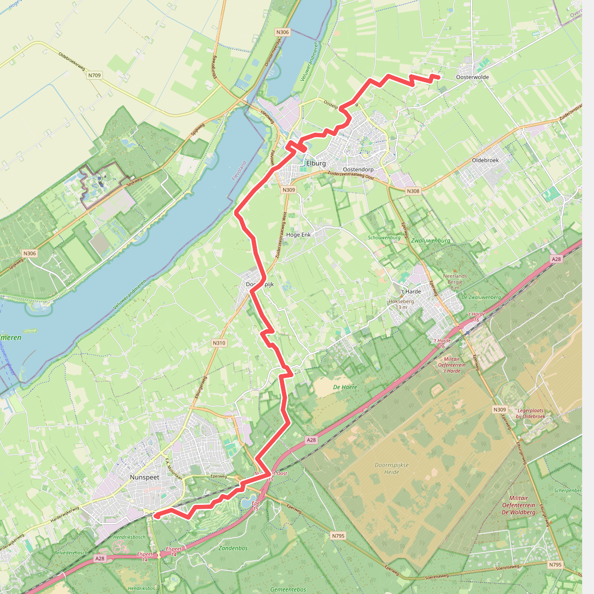
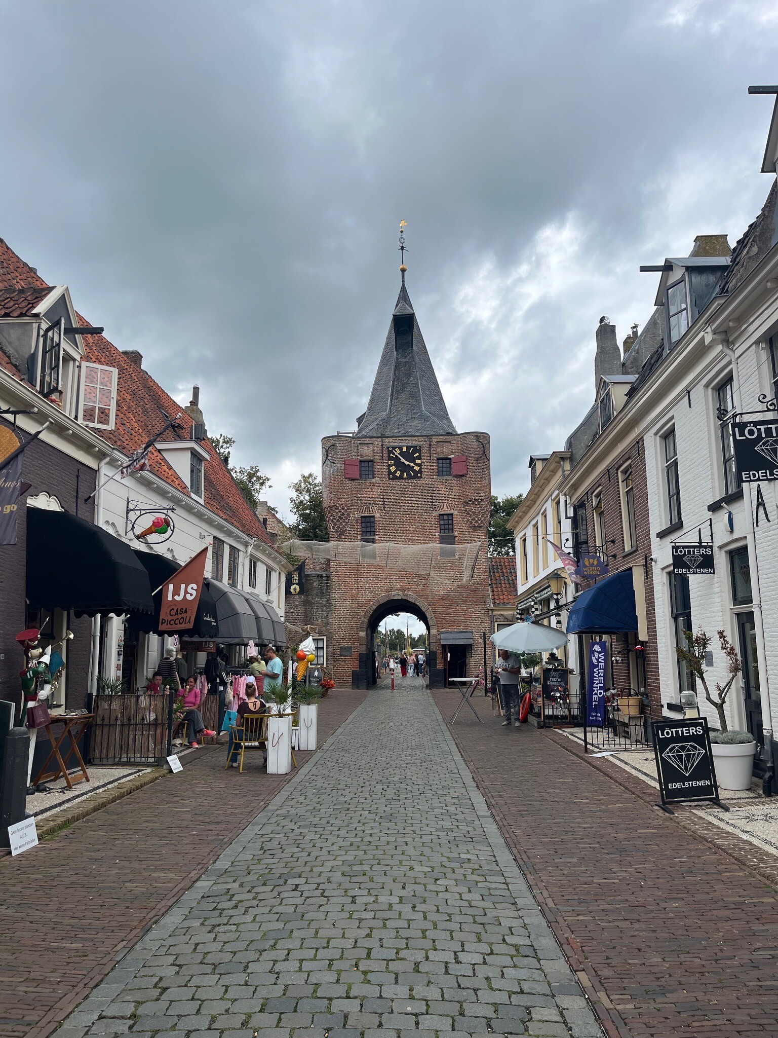
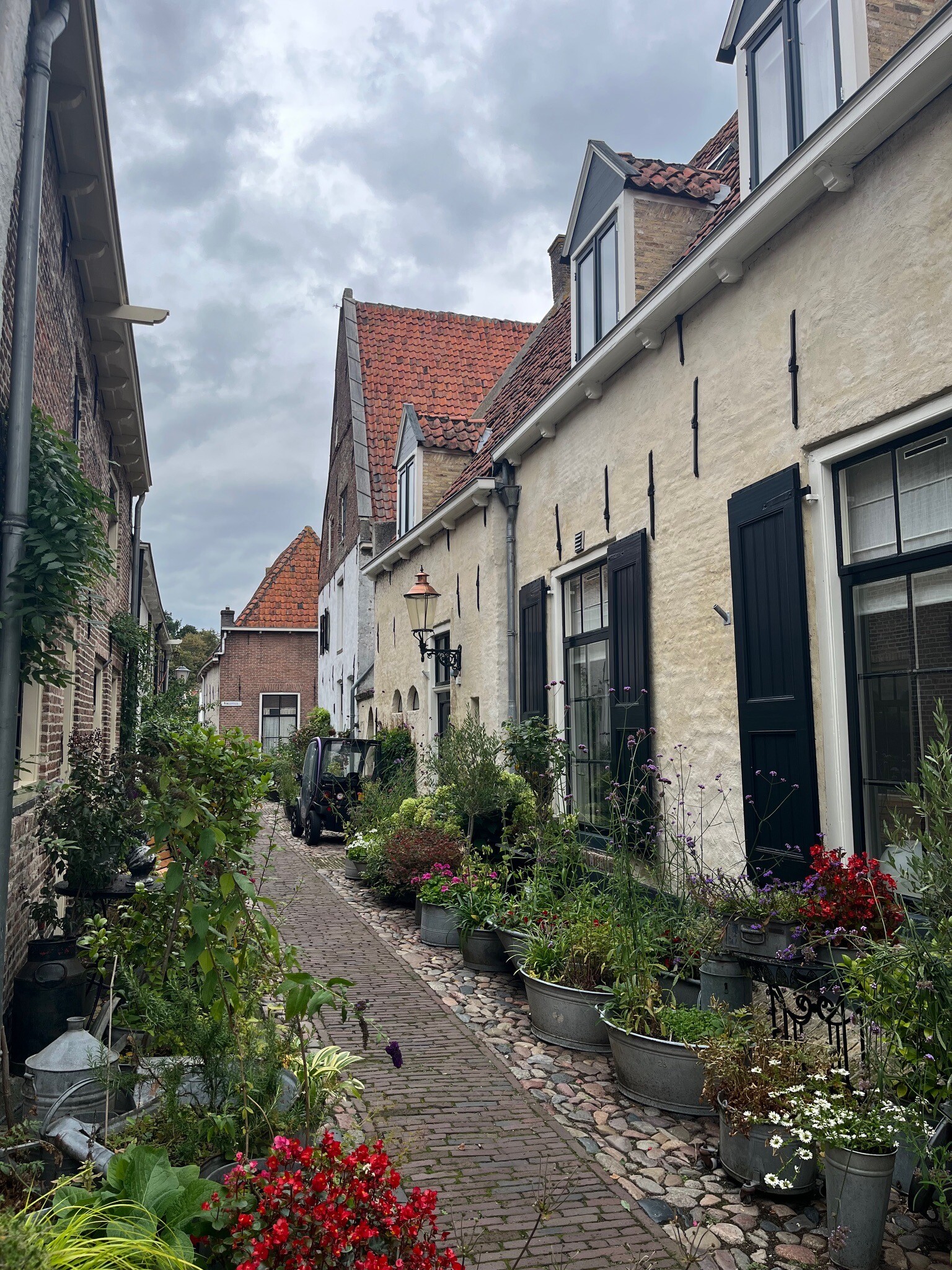
#8. Nunspeet - Oosterwolde · Zuiderzeepad etappe 14
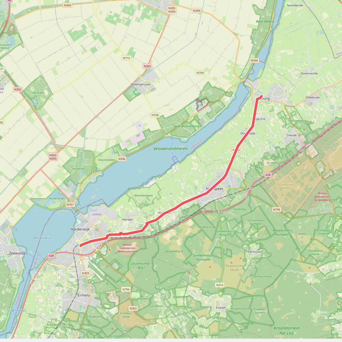
#9. 4e etappe kerkasiel
Harderwijk,Hulshorst,Nunspeet,Elburg
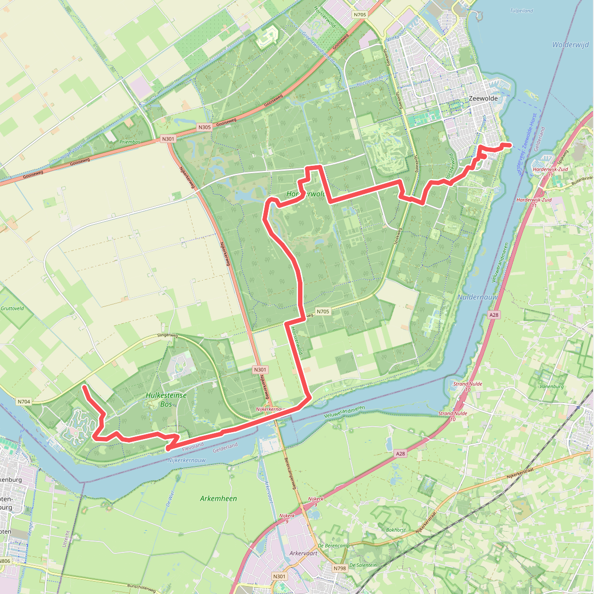
#10. Eemhof - Zeewolde · Wandelroute van A tot Z etappe 4
Zeewolde,Nijkerk,Ermelo
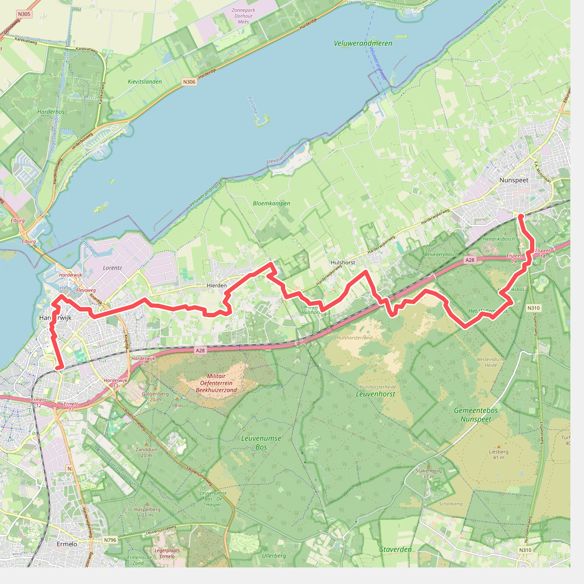
#11. Hierdense Poort
Nunspeet,Hulshorst,Hierden,Harderwijk
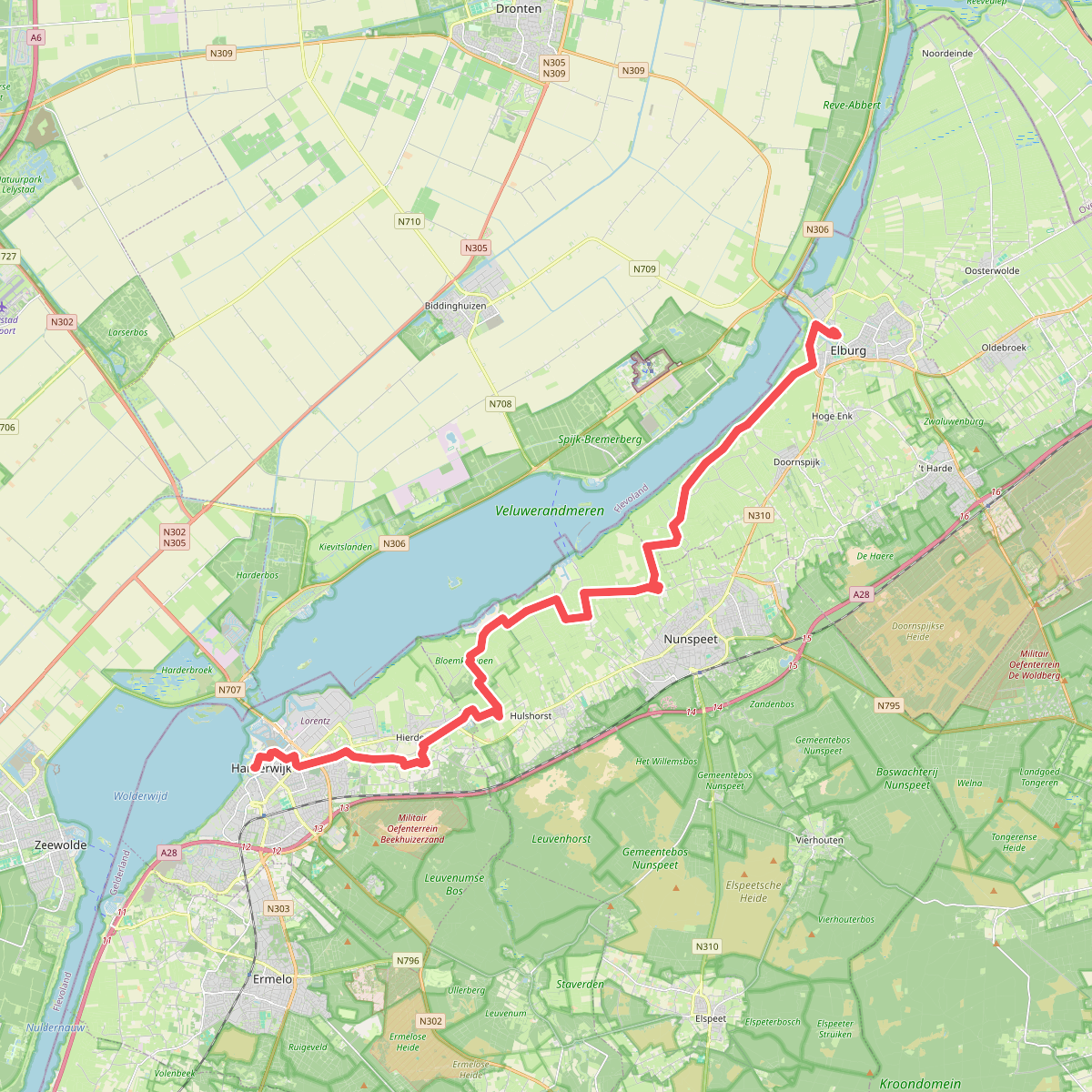
#12. Elburg - Harderwijk · Jacobsweg Amsvorde etappe 3
Elburg,Doornspijk,Nunspeet,Hulshorst,Hierden,Harderwijk




