The best hiking routes in Steirische Grenzmur mit Gamlitzbach und Gnasbach
Discover the best walks in Steirische Grenzmur mit Gamlitzbach und Gnasbach. 4 routes on the map, with descriptions, photos and GPX.
About Steirische Grenzmur mit Gamlitzbach und Gnasbach
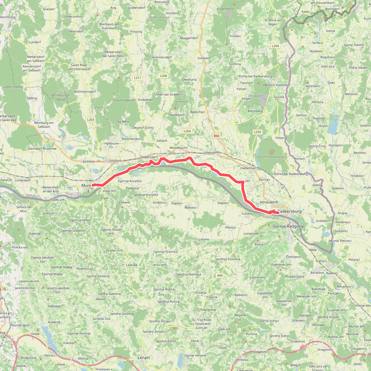
The Steirische Grenzmur mit Gamlitzbach und Gnasbach offers a low-lying riverine landscape dominated by the wide, slow-flowing Mur river and its smaller tributaries. Unlike the rocky gorges of upper Styria, this border area is characterized by flat alluvial forests, gravel banks, and damp meadows. Walkers will find a mix of muddy riverside tracks, paved agricultural lanes, and occasional grassy paths that follow the flood dykes. The terrain is mostly level, with only gentle rises where the vineyards of the surrounding hills begin to meet the valley floor.
Read more
About Steirische Grenzmur mit Gamlitzbach und Gnasbach
The Steirische Grenzmur mit Gamlitzbach und Gnasbach offers a low-lying riverine landscape dominated by the wide, slow-flowing Mur river and its smaller tributaries. Unlike the rocky gorges of upper Styria, this border area is characterized by flat alluvial forests, gravel banks, and damp meadows. Walkers will find a mix of muddy riverside tracks, paved agricultural lanes, and occasional grassy paths that follow the flood dykes. The terrain is mostly level, with only gentle rises where the vineyards of the surrounding hills begin to meet the valley floor.
Read moreThe Steirische Grenzmur mit Gamlitzbach und Gnasbach offers a low-lying riverine landscape dominated by the wide, slow-flowing Mur river and its smaller tributaries. Unlike the rocky gorges of upper Styria, this border area is characterized by flat alluvial forests, gravel banks, and damp meadows. Walkers will find a mix of muddy riverside tracks, paved agricultural lanes, and occasional grassy paths that follow the flood dykes. The terrain is mostly level, with only gentle rises where the vineyards of the surrounding hills begin to meet the valley floor.
As you walk, the landscape reveals its managed yet wild character. You will notice steep, eroding riverbanks where the water cuts into the silt, contrasted with structured forestry plantations and open fields. The Gamlitzbach and Gnasbach streams bring a more intimate scale to the walk, with dense alder and willow thickets crowding the water's edge. These smaller channels are often choked with fallen wood and summer vegetation, showing how the water constantly reshapes the soft ground.
Underfoot, the paths are highly variable, shifting from hard-packed gravel to soft silt and clay after high water. There are no boardwalks or extensive hiking infrastructure here, meaning you must negotiate natural obstacles like tree roots and damp hollows directly. The area is generally quiet, though the sections near bridges and local villages see regular use by local walkers. It is a landscape of quiet, slow-moving water and dense riverside cover, best suited for those who prefer flat, riverside exploration over panoramic hill climbs.