

The best hiking routes in Parc naturel régional des Marais du Cotentin et du Bessin
Discover the best walks in Parc naturel régional des Marais du Cotentin et du Bessin. 41 routes on the map, with descriptions, photos and GPX.
About Parc naturel régional des Marais du Cotentin et du Bessin
The Parc naturel régional des Marais du Cotentin et du Bessin is a vast, low-lying wetland area shaped by rivers that drain into the Baie des Veys. Walking here means navigating a flat landscape of alluvial plains, bocage hedgerows, and peat marshes. In winter, typically from December to March, the sluice gates are closed, causing the rivers to overflow and turn the low meadows into shallow lakes, a phenomenon known locally as blanchissement. During these months, walking is restricted to the higher perimeter tracks and paved lanes, while summer opens up grassy paths and raised earthen dikes directly through the grazing pastures.
Read more
About Parc naturel régional des Marais du Cotentin et du Bessin
The Parc naturel régional des Marais du Cotentin et du Bessin is a vast, low-lying wetland area shaped by rivers that drain into the Baie des Veys. Walking here means navigating a flat landscape of alluvial plains, bocage hedgerows, and peat marshes. In winter, typically from December to March, the sluice gates are closed, causing the rivers to overflow and turn the low meadows into shallow lakes, a phenomenon known locally as blanchissement. During these months, walking is restricted to the higher perimeter tracks and paved lanes, while summer opens up grassy paths and raised earthen dikes directly through the grazing pastures.
Read moreThe Parc naturel régional des Marais du Cotentin et du Bessin is a vast, low-lying wetland area shaped by rivers that drain into the Baie des Veys. Walking here means navigating a flat landscape of alluvial plains, bocage hedgerows, and peat marshes. In winter, typically from December to March, the sluice gates are closed, causing the rivers to overflow and turn the low meadows into shallow lakes, a phenomenon known locally as blanchissement. During these months, walking is restricted to the higher perimeter tracks and paved lanes, while summer opens up grassy paths and raised earthen dikes directly through the grazing pastures.
Underfoot, the terrain varies from soft clay and damp peat paths to gravel tracks and quiet tarmac lanes that connect small farming hamlets. There are no hills or dramatic cliffs here, only a gentle transition from the dry, hedge-lined fields of the bocage to the wide, open marsh commons. You will frequently cross small stone bridges and drainage ditches, which are essential for managing the water levels in this working agricultural landscape.
For those on foot, the main challenge is navigating around the seasonal water. Well-marked trails exist, but some paths can become impassable without detour when the marshes flood. The area is ideal if you prefer level, slow-paced walking focused on observing cattle, wading birds, and traditional stone architecture, rather than climbing steep gradients.
Hiking routes in Parc naturel régional des Marais du Cotentin et du Bessin (41)

#1. Boucle pédestre de la vallée de l'Elle
Saint-Clair-sur-l'Elle,Moon-sur-Elle

#2. Chemin de Caen

#3. Chemin de Découverte de la Lande de Pirou

#4. Circuit de l'herbette
Muneville-le-Bingard

#5. Des Rives de l'Ay aux Landes de Lessay
Lessay

#6. Donjon et moulin de Pirou
Pirou

#7. Eglises et Marais de la Taute
Auxais,Raids

#8. Europese wandelroute E9 · GR 223

#9. Europese wandelroute E9 · GR 223

#10. Europese wandelroute E9 · GR 223
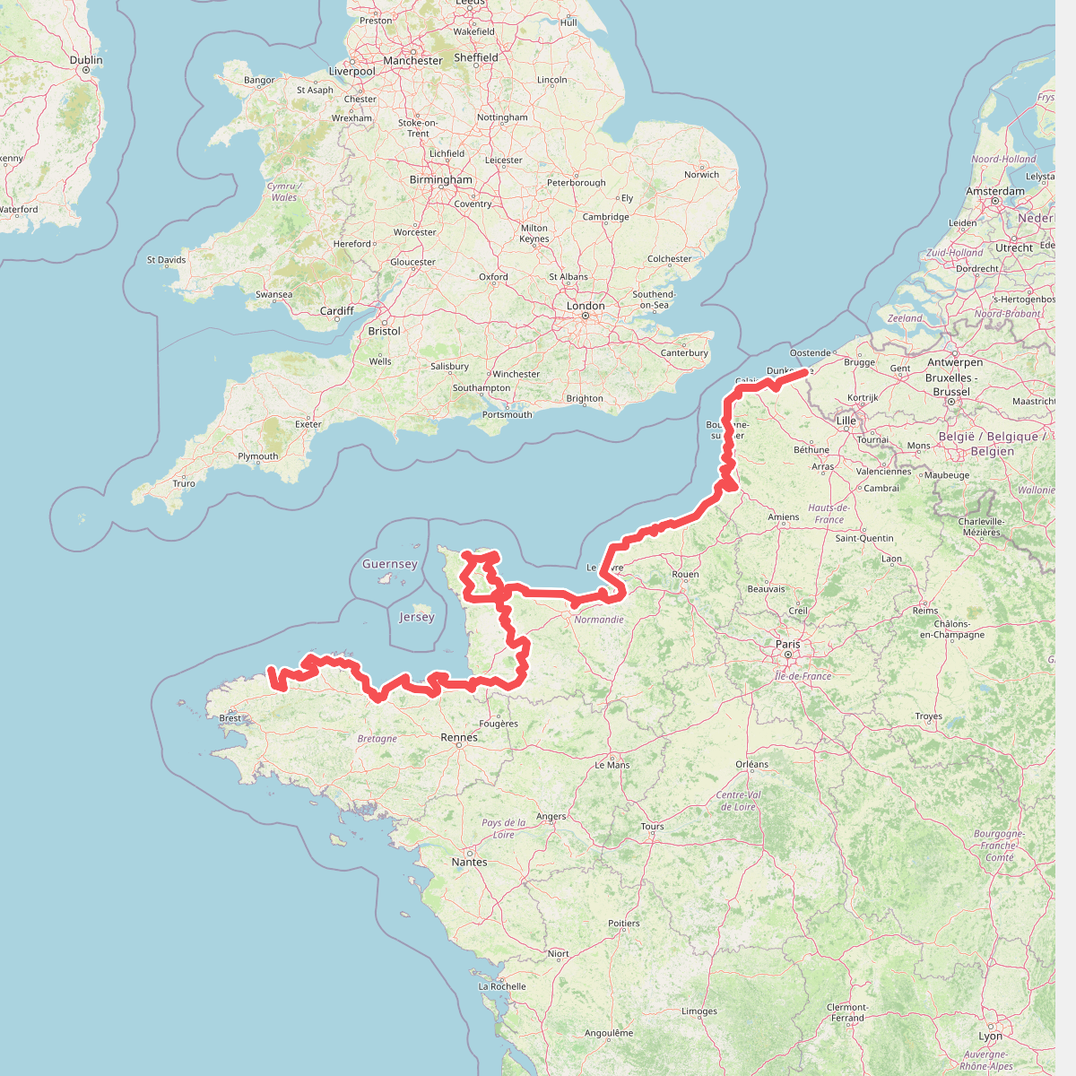
#11. Eurovelo 4
Roscoff,Saint-Pol-de-Léon,Plouénan,Taulé,Saint-Martin-des-Champs,Morlaix,Plouezoc'h,Plougasnou,Saint-Jean-du-Doigt,Guimaëc,Locquirec,Plestin-les-Grèves,Saint-Michel-en-Grève,Ploumilliau,Ploubezre,Lannion,Trébeurden,Pleumeur-Bodou,Trégastel,Perros-Guirec,Louannec,Camlez,Penvénan,Plouguiel,Trédarzec,Pleumeur-Gautier,Lézardrieux,Paimpol,Plouézec,Plouha,Tréveneuc,Binic-Étables-sur-Mer,Pordic,Plérin,Saint-Brieuc,Langueux,Hillion,Lamballe-Armor,Pléneuf-Val-André,Erquy,Fréhel,Plévenon,Pléboulle,Matignon,Saint-Cast-le-Guildo,Beaussais-sur-Mer,Tréméreuc,Plouër-sur-Rance,Saint-Suliac,Saint-Père-Marc-en-Poulet,Saint-Malo,Saint-Coulomb,Cancale,Saint-Méloir-des-Ondes,Hirel,Cherrueix,France métropolitaine,Roz-sur-Couesnon,Pontorson,Courtils,Céaux,Poilley,Ducey-les-Chéris,Isigny-le-Buat,Grandparigny,Romagny Fontenay,Saint-Clément-Rancoudray,Sourdeval,Vire Normandie,Souleuvre-en-Bocage,Pont-Bellanger,Tessy-Bocage,Fourneaux,Condé-sur-Vire,Bourgvallées,Saint-Lô,Agneaux,Pont-Hébert,Airel
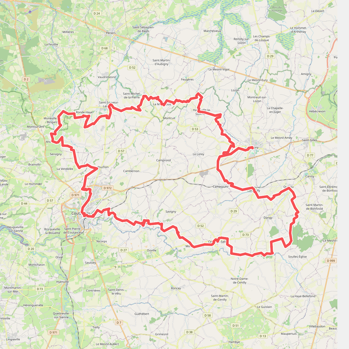
#12. GRP 7
Coutances,Monthuchon,Saint-Sauveur-Villages,Muneville-le-Bingard,Hauteville-la-Guichard,Le Lorey,Marigny-Le-Lozon,Cametours,Quibou,Dangy,Cerisy-la-Salle,Montpinchon,Savigny,Courcy




