The best hiking routes in LSG "Bayerische Rhön"
Discover the best walks in LSG "Bayerische Rhön". 324 routes on the map, with descriptions, photos and GPX.
About LSG "Bayerische Rhön"
The LSG "Bayerische Rhön" offers a distinct walking landscape characterized by open, basaltic highlands and rolling upland pastures rather than dramatic alpine peaks or deep, rocky gorges. Walkers will find a stark contrast between the exposed, windswept plateaus of the high Rhön, where trees are sparse and rough grass dominates, and the sheltered, wooded valleys lower down. The terrain is shaped by its volcanic past, which is visible on the trails through dark basalt stones underfoot and prominent basalt domes rising gently above the grassy ridges.
Read more
About LSG "Bayerische Rhön"
The LSG "Bayerische Rhön" offers a distinct walking landscape characterized by open, basaltic highlands and rolling upland pastures rather than dramatic alpine peaks or deep, rocky gorges. Walkers will find a stark contrast between the exposed, windswept plateaus of the high Rhön, where trees are sparse and rough grass dominates, and the sheltered, wooded valleys lower down. The terrain is shaped by its volcanic past, which is visible on the trails through dark basalt stones underfoot and prominent basalt domes rising gently above the grassy ridges.
Read moreThe LSG "Bayerische Rhön" offers a distinct walking landscape characterized by open, basaltic highlands and rolling upland pastures rather than dramatic alpine peaks or deep, rocky gorges. Walkers will find a stark contrast between the exposed, windswept plateaus of the high Rhön, where trees are sparse and rough grass dominates, and the sheltered, wooded valleys lower down. The terrain is shaped by its volcanic past, which is visible on the trails through dark basalt stones underfoot and prominent basalt domes rising gently above the grassy ridges.
Underfoot, the paths vary from stony, unpaved tracks along the ridges to softer, grassy paths through the upland meadows. In the wetter peatland sections, such as the areas near the black bogs, wooden boardwalks protect the fragile ground and keep walkers above the damp soil. Because of the open nature of the high plateaus, there is little shelter from the elements, and the landscape can feel stark and austere, particularly during the late autumn months when frost begins to coat the rough grasses.
This protected area is ideal for those who prefer long, steady climbs and wide-angle views over undulating hills rather than steep, technical scrambles. While popular trailheads and designated viewpoints can attract steady visitor numbers on weekends, the extensive network of farm tracks and forest paths allows for quieter walks if you head away from the main summits. It is a working agricultural landscape where grazing sheep and cattle help maintain the open, treeless character of the high meadows.
Hiking routes in LSG "Bayerische Rhön" (324)
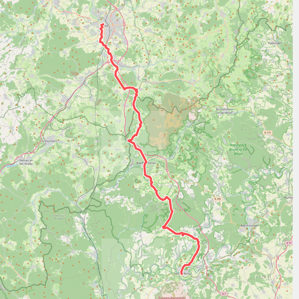
#1. Abtsweg
Fulda,Motten,Römershager Forst-Nord,Bad Brückenau,Oberleichtersbach,Schondra,Geiersnest Ost,Neuwirtshauser Forst,Wartmannsroth,Oberthulba,Hammelburg

#2. Altengronau - Rundweg am Grauberg - Tanne

#3. Bad Bocklet - Rundweg BB3
Bad Bocklet

#4. Bad Bocklet Rundweg BB4
Bad Bocklet

#5. Bad Bocklet - Rundweg BB5
Bad Bocklet

#6. Bad Bocklet Rundweg BB6

#7. Bad Bocklet Rundweg BB7
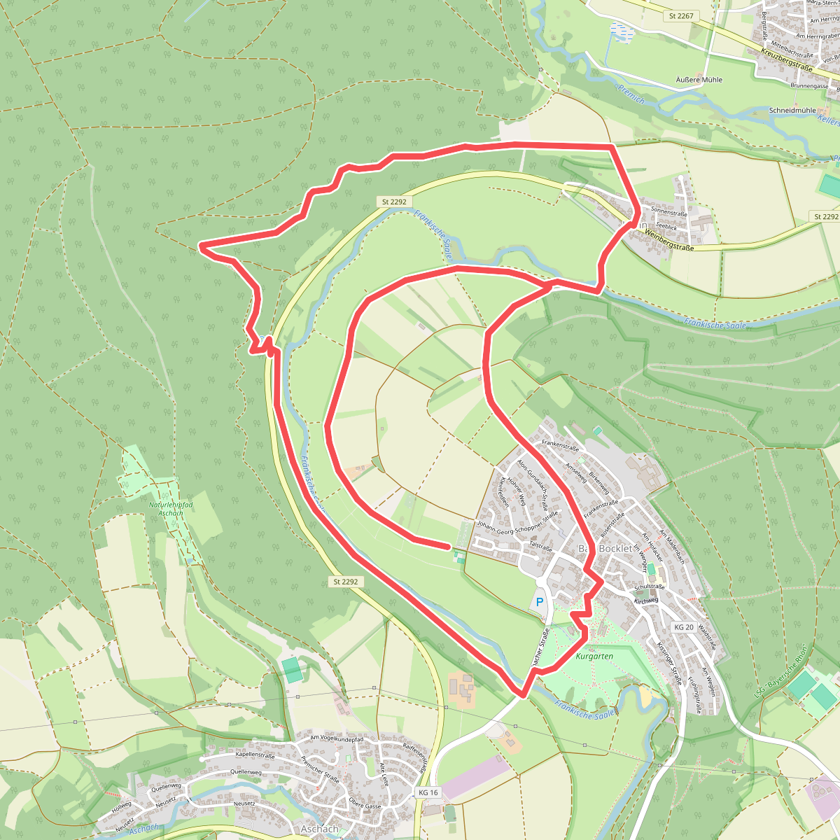
#8. Bad Bocklet - Rundweg BB8
Bad Bocklet
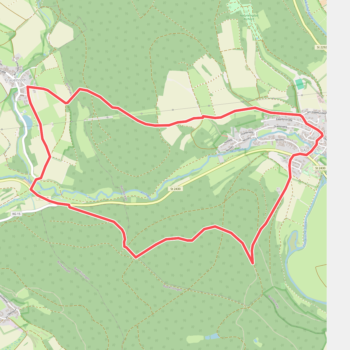
#9. Bad Bocklet - Rundweg F
Bad Bocklet,Bad Kissingen,Burkardroth
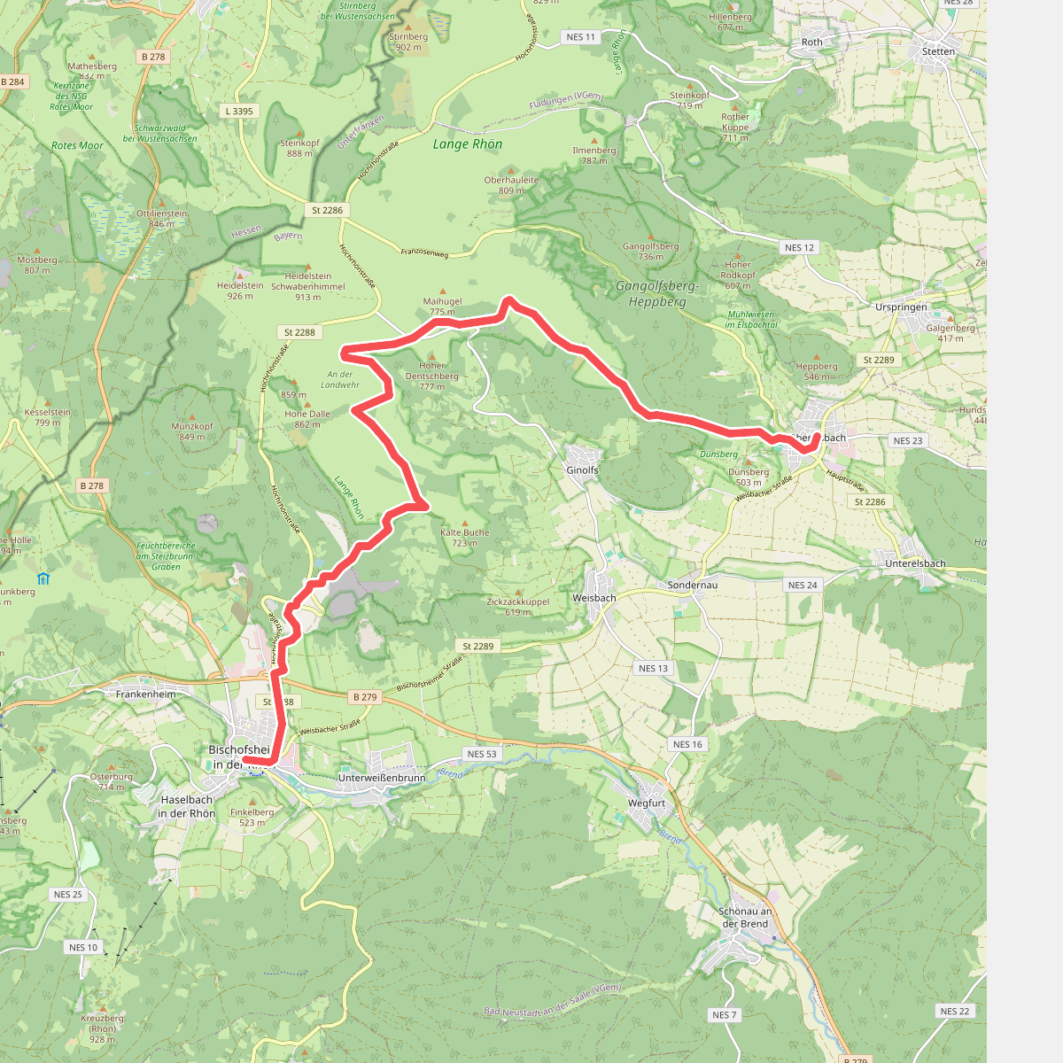
#10. Bischofsheim - Oberelsbach
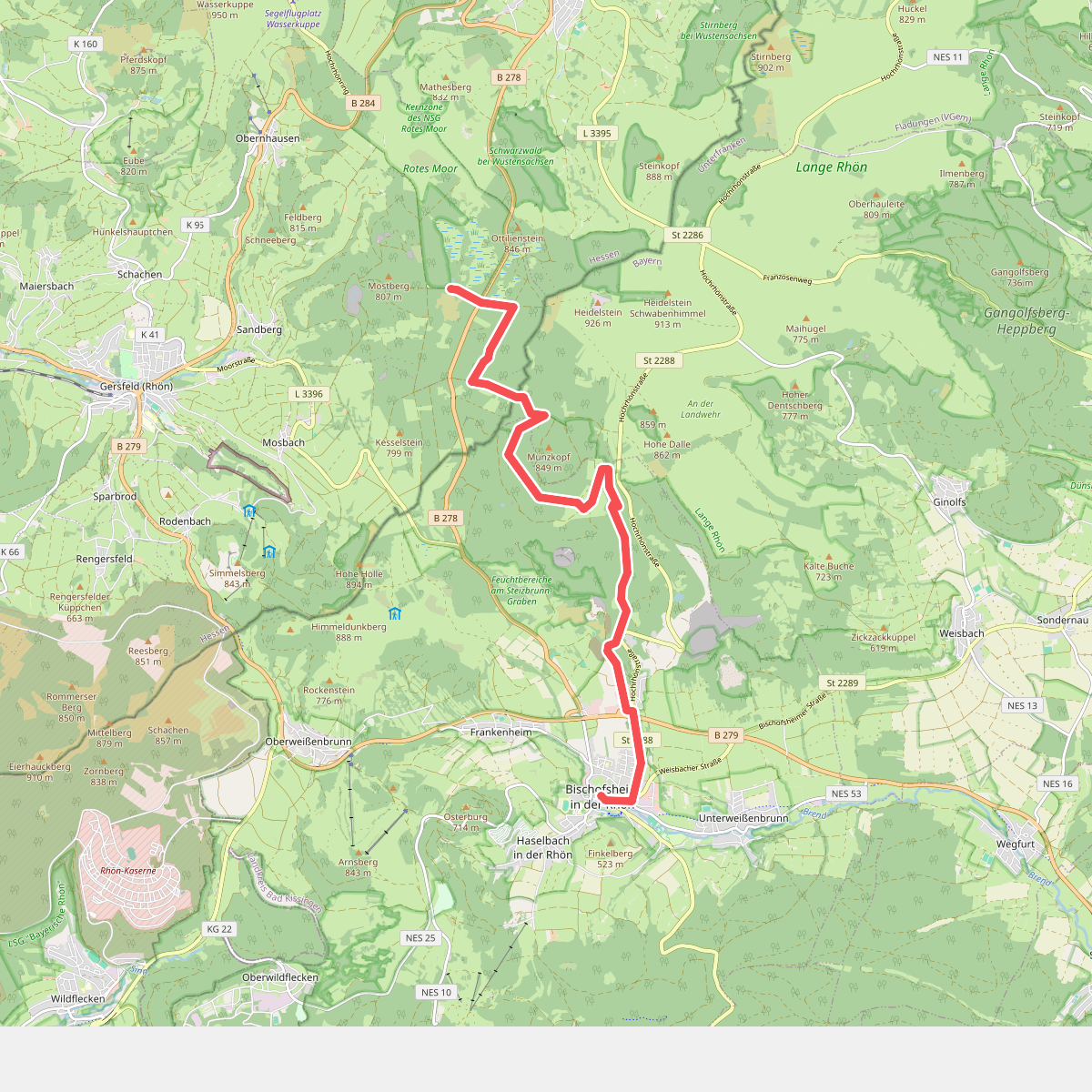
#11. Bischofsheim - Rotes Moor