

The best hiking routes in Leekstermeergebied
Discover the best walks in Leekstermeergebied. 21 routes on the map, with descriptions, photos and GPX.
Managed by Staatsbosbeheer;Groninger Landschap;Drents Landschap;Waterschap Noorderzijlvest;particulieren
About Leekstermeergebied
The Leekstermeergebied is a low-lying peatland basin straddling the border of Groningen and Drenthe. Unlike the nearby sandy forests of the Drenthe plateau, this area is defined by its flat, wet grasslands, reed beds, and the shallow lake at its center. Walking here means navigating a landscape shaped by water management, where open polders are divided by straight drainage ditches and small alder carr forests. It is a working wetland, not a dry woodland.
Read more
About Leekstermeergebied
The Leekstermeergebied is a low-lying peatland basin straddling the border of Groningen and Drenthe. Unlike the nearby sandy forests of the Drenthe plateau, this area is defined by its flat, wet grasslands, reed beds, and the shallow lake at its center. Walking here means navigating a landscape shaped by water management, where open polders are divided by straight drainage ditches and small alder carr forests. It is a working wetland, not a dry woodland.
Read moreThe Leekstermeergebied is a low-lying peatland basin straddling the border of Groningen and Drenthe. Unlike the nearby sandy forests of the Drenthe plateau, this area is defined by its flat, wet grasslands, reed beds, and the shallow lake at its center. Walking here means navigating a landscape shaped by water management, where open polders are divided by straight drainage ditches and small alder carr forests. It is a working wetland, not a dry woodland.
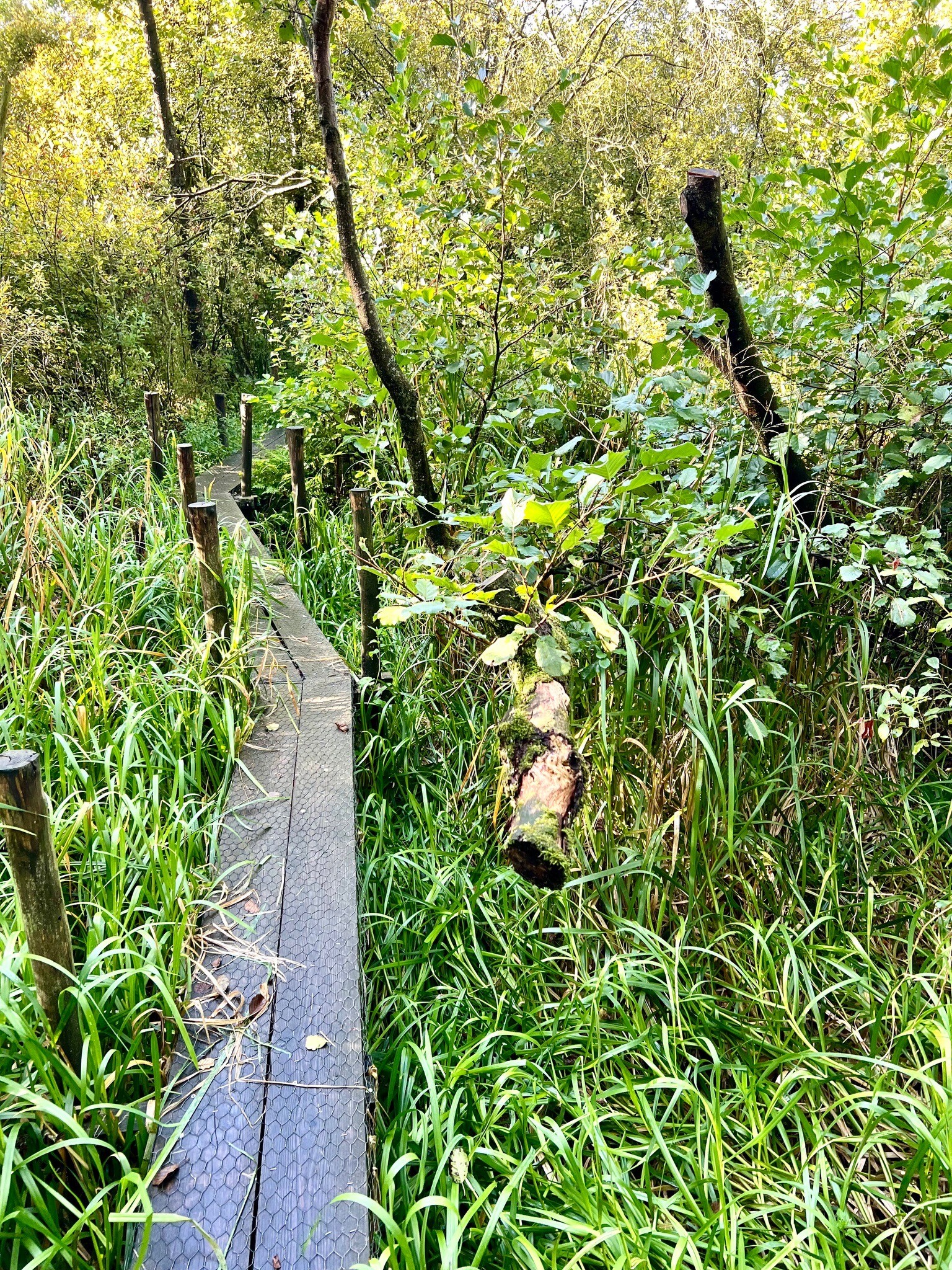
Underfoot, the paths reflect this soggy geography. Walkers will find a mix of grassy dikes, unpaved clay tracks, and occasional wooden boardwalks designed to keep feet out of the marshier sections. Because the soil is peat and clay, the ground is naturally soft and can become very muddy after prolonged rain. There are no hills or dunes here; the terrain is entirely flat, offering wide views across the pastures and water rather than enclosed forest trails.
In April and May, the damp meadows are active with nesting meadow birds like godwits and lapwings, making these months particularly lively for birdwatching. The area is generally quiet, though the lakeside paths near the marina on the northern shore attract more recreational visitors than the isolated southern quays. If you prefer dry, firm sandy tracks under a dense canopy, this open, watery landscape may not be your first choice.
Hiking routes in Leekstermeergebied (21)

#1. Lettelberterpetten
Lettelbert


#2. Roden - Peizermade · Drenthepad etappe 8
Roden,Nietap,Leek,Leutingewolde,Roderwolde,Matsloot,Peize

#3. Den Horn - Leekstermeer · Westerkwartierpluspad etappe 9
Lettelbert,Oostwold,Enumatil,Den Horn

#4. Groningen - Altena · Jacobspad Uithuizen - Hasselt etappe 4
Groningen,Peize,Roderwolde,Foxwolde,Roden

#5. Groningen - Peize
Groningen,Peize,Matsloot,Roderwolde

#6. Groningse 4daagse dag 1 - West 20
Groningen,Eelderwolde,Peize
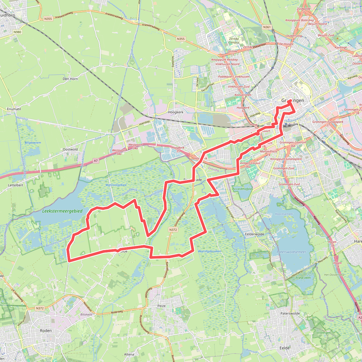
#7. Groningse 4daagse dag 1 - West 30
Groningen,Eelderwolde,Peize,Roderwolde

#8. Groningse 4daagse dag 1 - West 40
Groningen,Eelderwolde,Peize,Leutingewolde,Leek,Lettelbert,Roderwolde
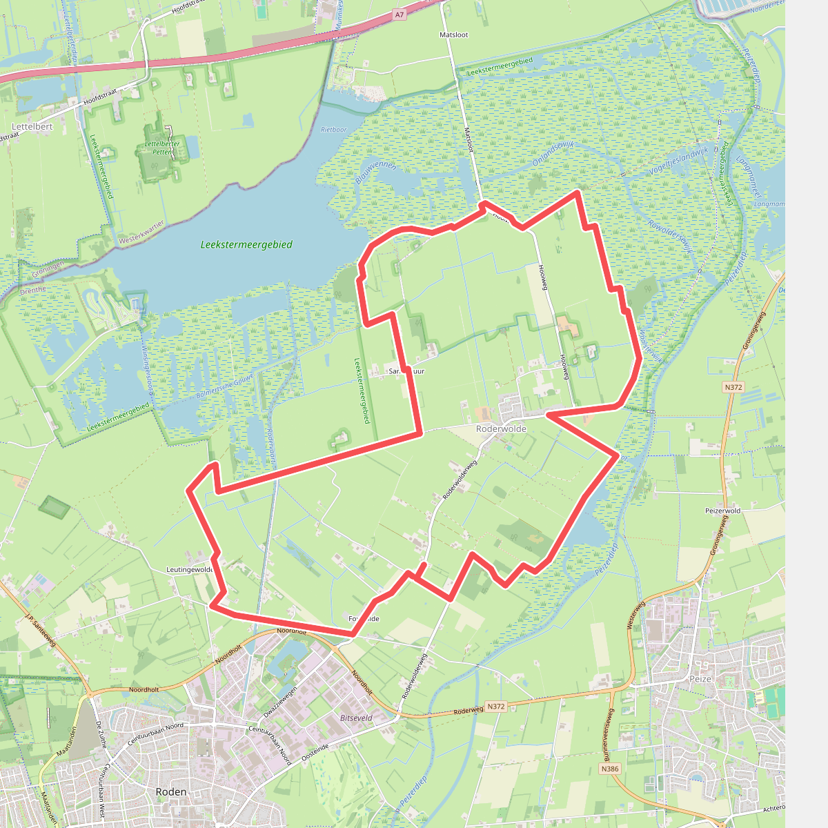
#9. Knapzakroute Roderwolde-Foxwolde
Foxwolde,Roderwolde

#10. Leek - Den Horn · Groninger Borgenpad etappe 2
Zuidhorn,Den Horn,Oostwold,Enumatil,Lettelbert,Leek,Nietap

#11. Leek - Roderwolde • Groeningenpad Etappe 4
Route via knooppunten: 86 → 83 → 91 → 51 → 52 → 72 → 56 → 54 → 31 → 25 → 55 → 28 → 32
Nietap,Leutingewolde,Roderwolde

#12. Leekstermeer - Onlanden · Westerkwartierpluspad etappe 10
Leutingewolde,Nietap,Leek,Lettelbert




