

The best hiking routes in Gelderse Poort
Discover the best walks in Gelderse Poort. 101 routes on the map, with descriptions, photos and GPX.

About Gelderse Poort
The Gelderse Poort is a river landscape shaped by the Rhine as it enters the Netherlands and splits into different branches. Unlike the dry pine forests or sandy heathlands found further inland, this area consists of dynamic floodplains, clay soils, marshy reed beds, and river dunes. The terrain is flat, dominated by wide watercourses, side channels, and grassy meadows where semi-wild Konik horses and Galloway cattle roam freely to keep the vegetation down. Underfoot, walkers will mostly encounter unpaved grassy tracks, clay paths that can become sticky, and sandy stretches along the river beaches.
Read more
About Gelderse Poort
The Gelderse Poort is a river landscape shaped by the Rhine as it enters the Netherlands and splits into different branches. Unlike the dry pine forests or sandy heathlands found further inland, this area consists of dynamic floodplains, clay soils, marshy reed beds, and river dunes. The terrain is flat, dominated by wide watercourses, side channels, and grassy meadows where semi-wild Konik horses and Galloway cattle roam freely to keep the vegetation down. Underfoot, walkers will mostly encounter unpaved grassy tracks, clay paths that can become sticky, and sandy stretches along the river beaches.
Read moreThe Gelderse Poort is a river landscape shaped by the Rhine as it enters the Netherlands and splits into different branches. Unlike the dry pine forests or sandy heathlands found further inland, this area consists of dynamic floodplains, clay soils, marshy reed beds, and river dunes. The terrain is flat, dominated by wide watercourses, side channels, and grassy meadows where semi-wild Konik horses and Galloway cattle roam freely to keep the vegetation down. Underfoot, walkers will mostly encounter unpaved grassy tracks, clay paths that can become sticky, and sandy stretches along the river beaches.
Because this is an active floodplain, the landscape changes depending on the water levels of the river. In winter and early spring, usually around January or February, high water can submerge large parts of the walking routes, forcing detours onto the paved dikes that border the reserve. You will notice the lack of fences in the core grazing zones, meaning paths are shared directly with the free-roaming herds. The vegetation here is scrubby, with thorny hawthorn bushes and willows rather than managed woodland.
This area is ideal if you prefer open, watery landscapes and do not mind navigating muddy paths or walking without signposted shelter. It does not offer deep forests, high hills, or dry gravel tracks. While the popular clay paths near the main entry points can attract many local visitors on Sundays, the quieter sand peninsulas and outer dikes further along the river branches offer a much more solitary walking experience.
Hiking routes in Gelderse Poort (101)
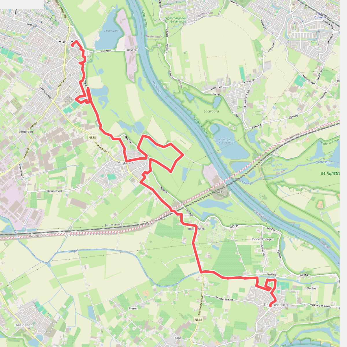


#1. Huissen- Doornenburg · Wegen met Zegen etappe 8
Doornenburg,Angeren,Huissen


#2. Nijmegen - Beek · Walk of Wisdom etappe 1
Berg en Dal,Nijmegen,Ubbergen,Beek,Persingen,Ooij,Gendt,Haalderen,Lent

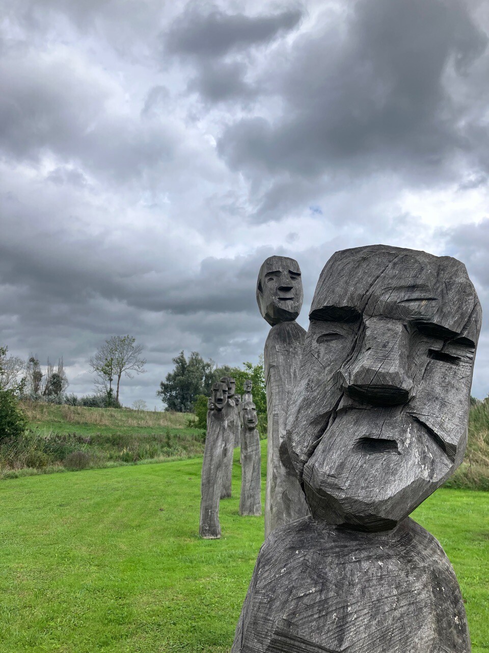
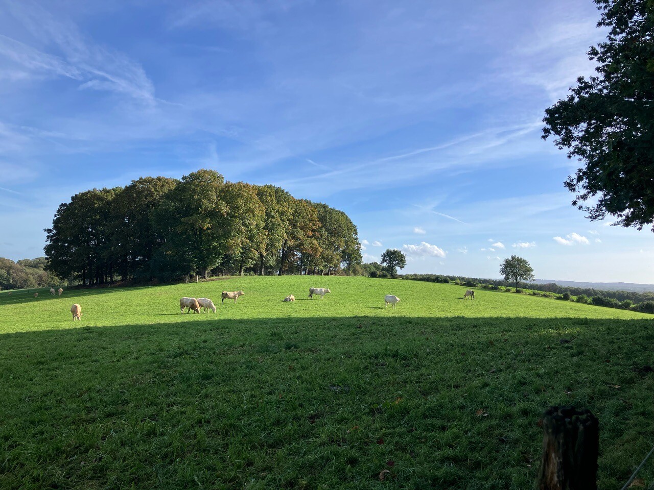

#3. Pieterpad Millingen aan de Rijn - Groesbeek
Millingen aan de Rijn,Leuth,Beek,Berg en Dal,Groesbeek
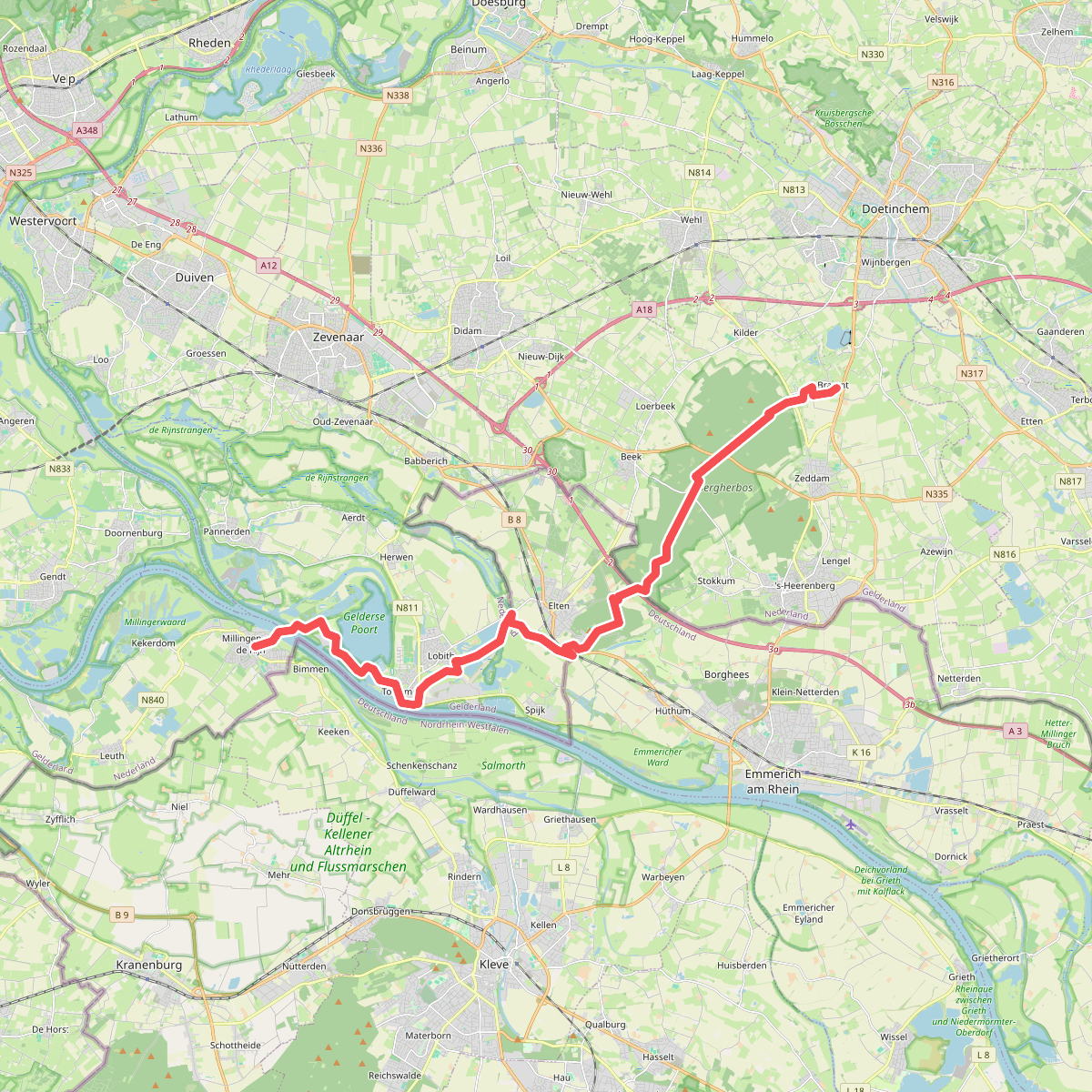
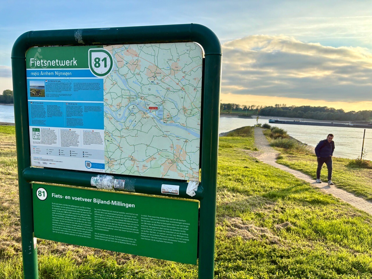
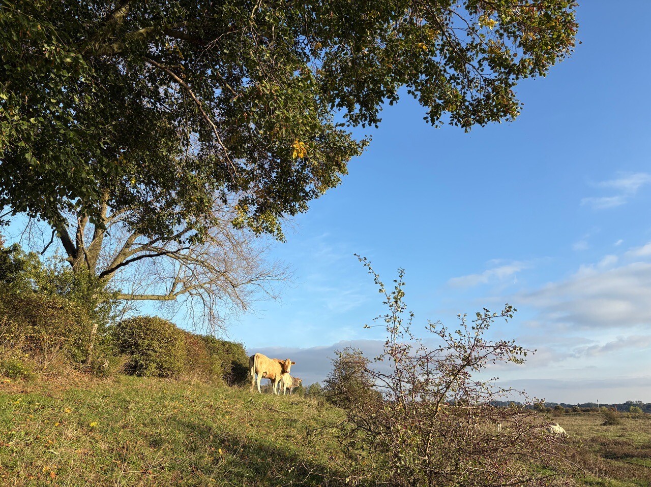
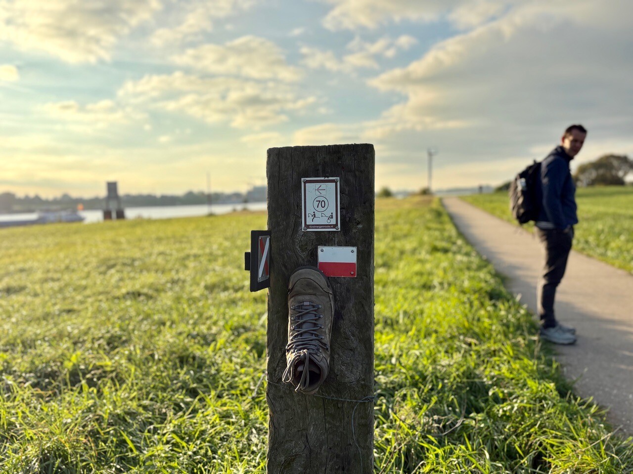
#4. Braamt - Millingen · Pieterpad etappe 16
Braamt,Beek,Stokkum,Spijk,Lobith,Tolkamer,Millingen aan de Rijn
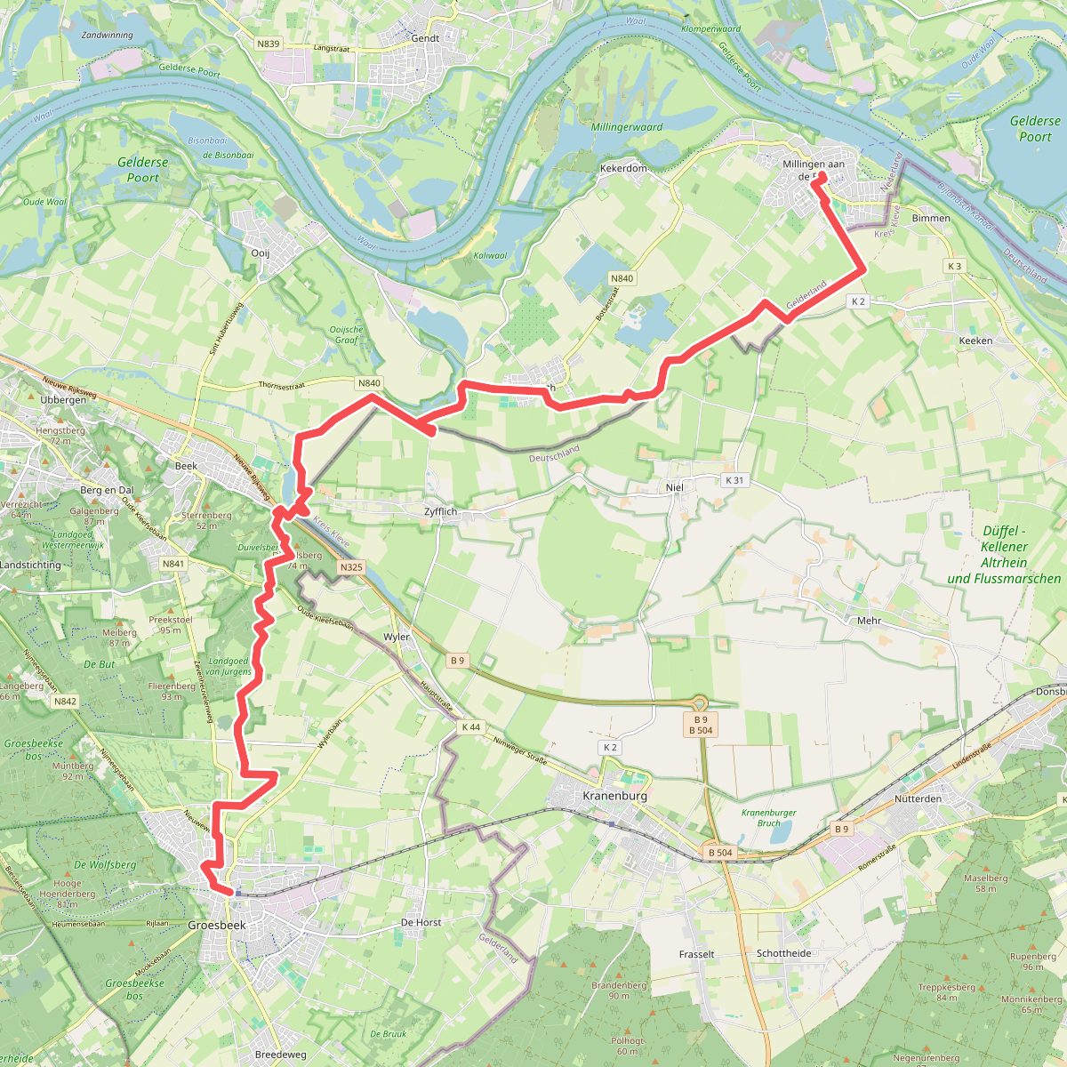
#5. Millingen - Groesbeek · Pieterpad etappe 17
Millingen aan de Rijn,Leuth,Beek,Berg en Dal,Groesbeek

#6. Ommetje Millingen - 4 of 8 km.
Millingen aan de Rijn,Pannerden
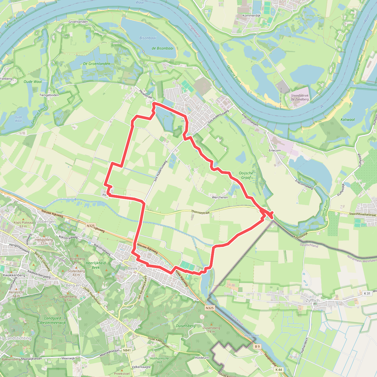
#7. 12 km oktober 2026
Beek,Ooij

#8. 13 km
Beek,Persingen,Ooij
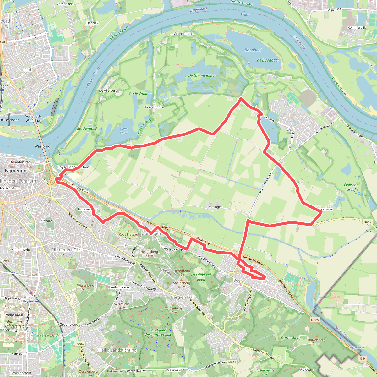
#9. 15 km oktober 2026
Beek,Nijmegen,Ooij

#10. 20.7 km
Duiven,Velp,Arnhem,Westervoort

#11. 25km arnhem
Huissen,Arnhem

#12. 35 km
Nijmegen,Persingen,Berg en Dal,Groesbeek,Malden




