

The best hiking routes in Naturpark Lahn-Dill-Bergland
Discover the best walks in Naturpark Lahn-Dill-Bergland. 140 routes on the map, with descriptions, photos and GPX.
About Naturpark Lahn-Dill-Bergland
Naturpark Lahn-Dill-Bergland is a central German upland landscape shaped by a mix of dense deciduous forests, open meadows, and historic mining traces. Unlike flatter plains or high alpine peaks, this park consists of gently rolling hills dissected by small river valleys. Underfoot, you will mostly find packed dirt paths, forest tracks, and occasional stony trails that reflect the region's volcanic and sedimentary geological past. Basalt formations and old quarry sites frequently break up the woodland scenery, showing how humans have extracted stone here for centuries.
Read more
About Naturpark Lahn-Dill-Bergland
Naturpark Lahn-Dill-Bergland is a central German upland landscape shaped by a mix of dense deciduous forests, open meadows, and historic mining traces. Unlike flatter plains or high alpine peaks, this park consists of gently rolling hills dissected by small river valleys. Underfoot, you will mostly find packed dirt paths, forest tracks, and occasional stony trails that reflect the region's volcanic and sedimentary geological past. Basalt formations and old quarry sites frequently break up the woodland scenery, showing how humans have extracted stone here for centuries.
Read moreNaturpark Lahn-Dill-Bergland is a central German upland landscape shaped by a mix of dense deciduous forests, open meadows, and historic mining traces. Unlike flatter plains or high alpine peaks, this park consists of gently rolling hills dissected by small river valleys. Underfoot, you will mostly find packed dirt paths, forest tracks, and occasional stony trails that reflect the region's volcanic and sedimentary geological past. Basalt formations and old quarry sites frequently break up the woodland scenery, showing how humans have extracted stone here for centuries.
The western sections of the park feature steeper, more wooded terrain where beech and oak trees dominate, while the eastern parts open up into wide, agricultural high plains. Walkers will notice a distinct contrast between the damp, shaded valley floors near the Lahn and Dill rivers and the drier, wind-exposed basalt ridges above. In October, the extensive beech forests turn a deep copper, making this the most distinctive time to observe the natural transition of the canopy.
This area is ideal if you prefer quiet, steady climbing on forestry tracks rather than scrambling over exposed bedrock. Paths are generally wide and stable, though clay soils in the lower meadows can become sticky after wet weather. While popular viewpoints like the Wilhelmsteine rocks attract local day-trippers, the vast network of interconnected woodland trails remains quiet, offering a straightforward hiking experience through a working, managed forest landscape.
Hiking routes in Naturpark Lahn-Dill-Bergland (140)
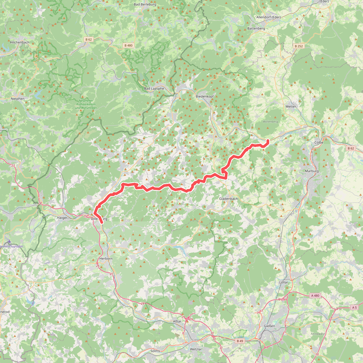
#1. Angelburgpfad
Lahntal,Dautphetal,Gladenbach,Bad Endbach,Siegbach,Eschenburg,Dillenburg

#2. Auf Bergmannspfaden
Wilnsdorf,Haiger

#3. Burg Greifenstein Weg 10 km
Greifenstein,Sinn

#4. Dillenburg (Teilstück Dillenburg - Gießen)
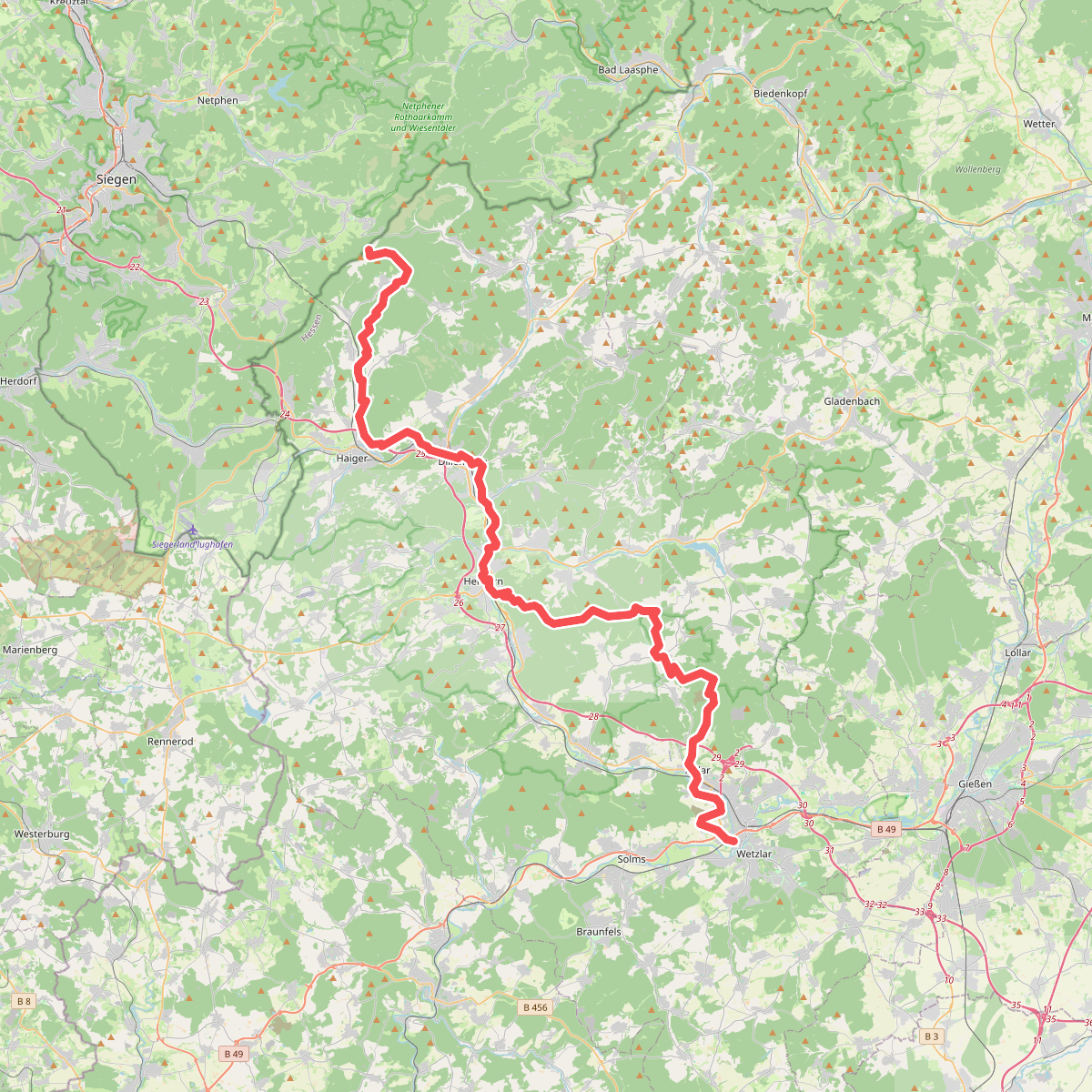
#5. Dillhöhenweg (links der Dill)
Haiger,Dillenburg,Herborn,Mittenaar,Sinn,Aßlar,Hohenahr,Wetzlar

#6. Dillhöhenweg (rechts der Dill)
Haiger,Dillenburg,Herborn,Sinn,Greifenstein,Ehringshausen,Leun,Aßlar,Solms,Wetzlar

#7. Elisabethpfad Altenberg - Marburg
Marburg,Weimar (Lahn),Lohra,Biebertal,Lahnau,Wetzlar,Solms

#8. Europäischer Fernwanderweg E8, Rheinland-Pfalz

#9. European Long distance path E1 - part Germany, Nordrhein-Westfalen (south)
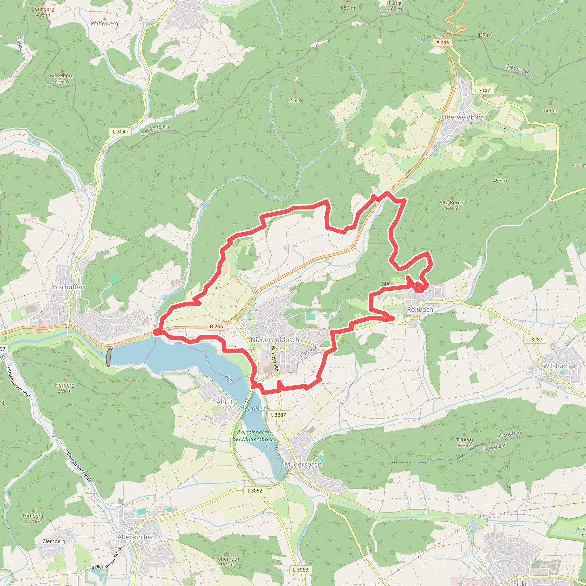
#10. Extratour Aartalsee-Panoramaweg
Hohenahr,Bischoffen

#11. Extratour Bickener Ritterspuren
Mittenaar

#12. Extratour Boxbachpfad
Bad Laasphe,Breidenbach




