The best hiking routes in Listastrendene landskapsvernområde
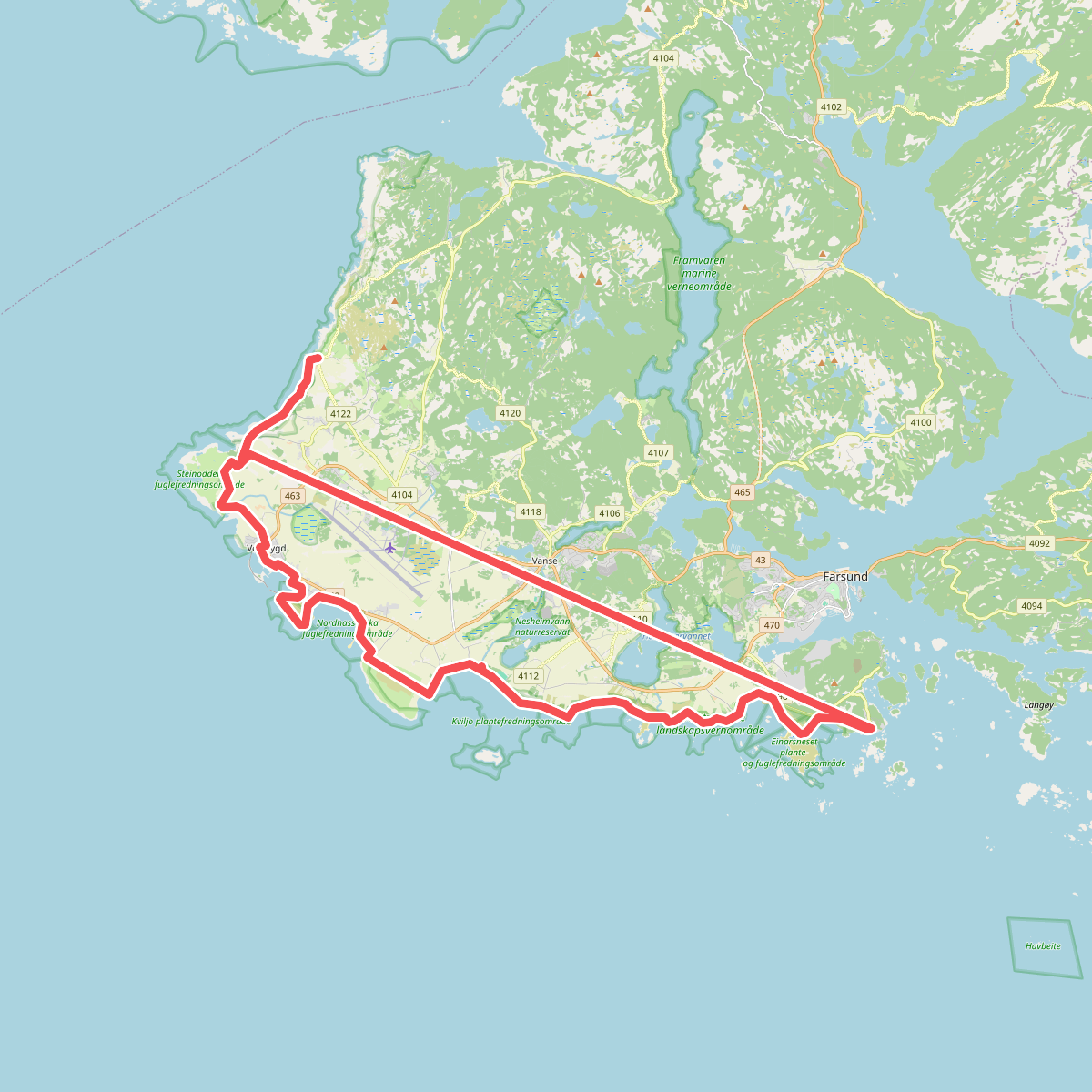
Discover the best walks in Listastrendene landskapsvernområde. 1 routes on the map, with descriptions, photos and GPX.
Managed by Statsforvalteren i Agder
About Listastrendene landskapsvernområde
Listastrendene landskapsvernområde offers a distinct walking experience along the southwestern coast of Norway, characterized by its flat, exposed coastal edge rather than the deep fjords or high peaks found elsewhere in the region. The landscape here is a low-lying mosaic of sandy beaches, large boulder fields, and grassy dunes that transition into coastal heathlands. Walkers will notice how the terrain shifts abruptly from loose, shifting sand underfoot to firm, pebble-strewn shores and damp, peat-like soils behind the dune lines.
Read more
About Listastrendene landskapsvernområde
Listastrendene landskapsvernområde offers a distinct walking experience along the southwestern coast of Norway, characterized by its flat, exposed coastal edge rather than the deep fjords or high peaks found elsewhere in the region. The landscape here is a low-lying mosaic of sandy beaches, large boulder fields, and grassy dunes that transition into coastal heathlands. Walkers will notice how the terrain shifts abruptly from loose, shifting sand underfoot to firm, pebble-strewn shores and damp, peat-like soils behind the dune lines.
Read moreListastrendene landskapsvernområde offers a distinct walking experience along the southwestern coast of Norway, characterized by its flat, exposed coastal edge rather than the deep fjords or high peaks found elsewhere in the region. The landscape here is a low-lying mosaic of sandy beaches, large boulder fields, and grassy dunes that transition into coastal heathlands. Walkers will notice how the terrain shifts abruptly from loose, shifting sand underfoot to firm, pebble-strewn shores and damp, peat-like soils behind the dune lines.
Navigating this protected area relies on a mix of sandy tracks, grassy paths, and sections where you must pick your way across smooth, water-worn boulders. The vegetation is shaped by its proximity to the sea, featuring hardy beach grasses that bind the dunes and low-growing heather that hugs the ground further inland. This lack of forest cover means the entire landscape is highly exposed, with the terrain offering little shelter from the elements.
In late summer, particularly around August, the inland heathlands turn purple with heather blooms, contrasting sharply with the pale sand dunes and the grey stone walls that divide the historic farming plots. While the sandy beaches near the main access points can attract more visitors, the rocky stretches and the paths winding through the wet heathlands further inland generally offer a much quieter walking experience.