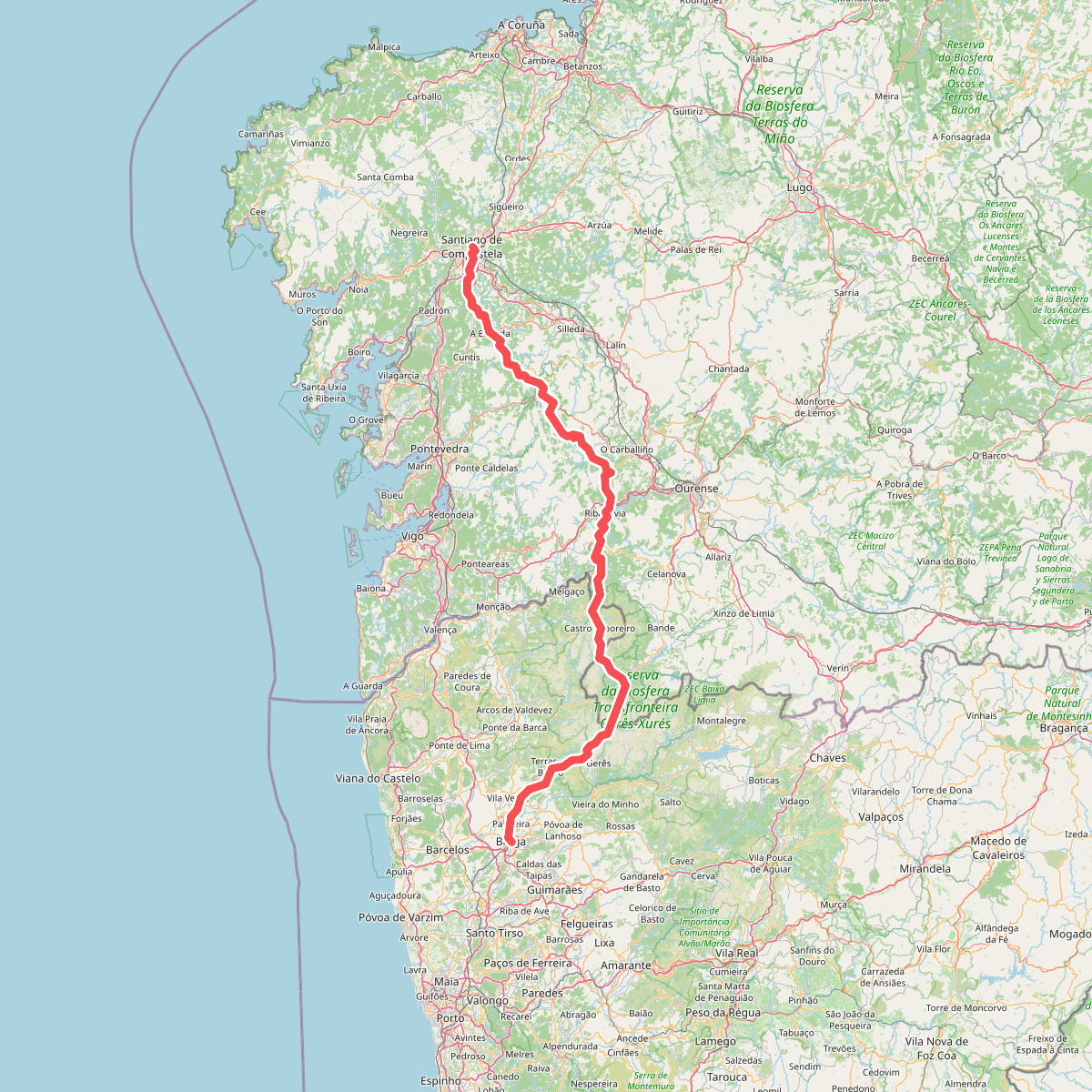
The best hiking routes in Limite do Parque Nacional da Peneda-Gerês
Discover the best walks in Limite do Parque Nacional da Peneda-Gerês. 1 routes on the map, with descriptions, photos and GPX.
About Limite do Parque Nacional da Peneda-Gerês
Limite do Parque Nacional da Peneda-Gerês marks the transition zone along the outer boundary of Portugal's only national park. Unlike the deep, granite-carved interior of the park, this peripheral strip features a mix of traditional agricultural terraces, small granite villages, and scrubby hillsides. Walkers here will not find the high, isolated peaks or dense oak forests of the core zone, but rather a working rural landscape where human activity directly shapes the terrain.
Read more
About Limite do Parque Nacional da Peneda-Gerês
Limite do Parque Nacional da Peneda-Gerês marks the transition zone along the outer boundary of Portugal's only national park. Unlike the deep, granite-carved interior of the park, this peripheral strip features a mix of traditional agricultural terraces, small granite villages, and scrubby hillsides. Walkers here will not find the high, isolated peaks or dense oak forests of the core zone, but rather a working rural landscape where human activity directly shapes the terrain.
Read moreLimite do Parque Nacional da Peneda-Gerês marks the transition zone along the outer boundary of Portugal's only national park. Unlike the deep, granite-carved interior of the park, this peripheral strip features a mix of traditional agricultural terraces, small granite villages, and scrubby hillsides. Walkers here will not find the high, isolated peaks or dense oak forests of the core zone, but rather a working rural landscape where human activity directly shapes the terrain.
Underfoot, the paths are a mix of ancient stone-paved tracks used for moving livestock, dirt farming lanes, and occasional asphalt connectors between hamlets. The vegetation consists largely of gorse, heather, and low shrubs clinging to rocky outcrops, interspersed with small pine stands. This outer edge is characterized by its accessibility, offering a clearer view of local pastoral life than the rugged, wilder interior.
In May, the yellow broom and purple heather color the hillsides along these boundary paths. While the central valleys of the national park draw heavy crowds, these border areas are often quieter, providing a more domestic, agricultural perspective on the region. It is a suitable choice for those who prefer walking through living hamlets and terraced fields rather than navigating steep, unmarked mountain terrain.