

The best hiking routes in Itztal von Coburg bis Baunach
Discover the best walks in Itztal von Coburg bis Baunach. 36 routes on the map, with descriptions, photos and GPX.
About Itztal von Coburg bis Baunach
The Itztal von Coburg bis Baunach follows the wide, flat valley floor of the Itz river as it winds southwards. This is a low-lying, agricultural river corridor rather than a wild forest or a deep gorge. Walkers will find a landscape dominated by open meadows, drainage ditches, and cultivated fields, framed by low, gently sloping hills on either side. The river itself is often lined with willows and alders, though engineering over the past century has straightened several stretches, leaving old, bypassed river loops as quiet, standing water pools.
Read more
About Itztal von Coburg bis Baunach
The Itztal von Coburg bis Baunach follows the wide, flat valley floor of the Itz river as it winds southwards. This is a low-lying, agricultural river corridor rather than a wild forest or a deep gorge. Walkers will find a landscape dominated by open meadows, drainage ditches, and cultivated fields, framed by low, gently sloping hills on either side. The river itself is often lined with willows and alders, though engineering over the past century has straightened several stretches, leaving old, bypassed river loops as quiet, standing water pools.
Read moreThe Itztal von Coburg bis Baunach follows the wide, flat valley floor of the Itz river as it winds southwards. This is a low-lying, agricultural river corridor rather than a wild forest or a deep gorge. Walkers will find a landscape dominated by open meadows, drainage ditches, and cultivated fields, framed by low, gently sloping hills on either side. The river itself is often lined with willows and alders, though engineering over the past century has straightened several stretches, leaving old, bypassed river loops as quiet, standing water pools.
Underfoot, the route relies heavily on a mix of paved agricultural lanes, gravel farm tracks, and grassy paths along the flood dykes. It is a highly modified landscape where you are rarely far from a village or a railway line, making it easy to access but less suited for those seeking rugged, isolated wilderness. In late spring, around May, the low-lying meadows turn bright green with fresh grass and wildflowers, highlighting the contrast between the damp valley bottom and the drier, cultivated slopes above.
This area is best suited for flat, easy-paced walking. It does not offer dramatic viewpoints, rocky climbs, or deep woodland cover. Instead, the appeal lies in observing the transition from the wider valley plains near Baunach to the narrower, more defined valley sections closer to Coburg, where small historic stone bridges and old mills still mark the river crossings.
Hiking routes in Itztal von Coburg bis Baunach (36)
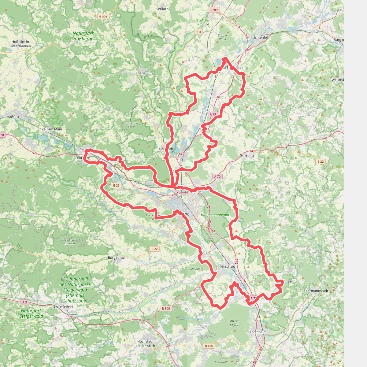
#1. 7-Flüsse-Wanderweg
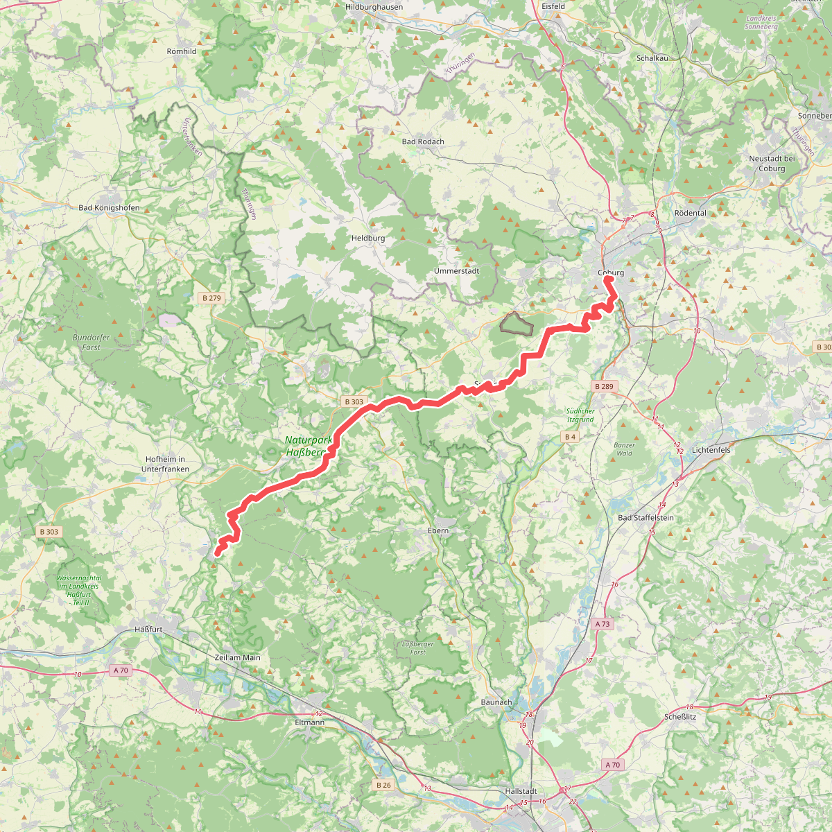
#2. Amtsbotenweg
Coburg,Ahorn,Seßlach,Großheirath,Maroldsweisach,Pfarrweisach,Burgpreppach,Ebern,Königsberg in Bayern

#3. Baunach Sembergrunde
Baunach,Semberg,Oberhaid

#4. Baunach Stiefenbergrunde
Baunach

#5. Brauersteig
Baunach,Rattelsdorf,Reckendorf

#6. Coburger Rundwanderweg
Coburg,Grub a.Forst,Niederfüllbach,Ahorn,Rödental,Dörfles-Esbach

#7. Dachs-Wanderweg Mürsbach
Rattelsdorf,Rentweinsdorf

#8. Europäischer Fernwanderweg E3, Bayern (West)

#9. Europäischer Fernwanderweg E6, Deutschland, Frankenwald

#10. Fasan-Wanderweg Mürsbach
Rattelsdorf,Rentweinsdorf,Untermerzbach
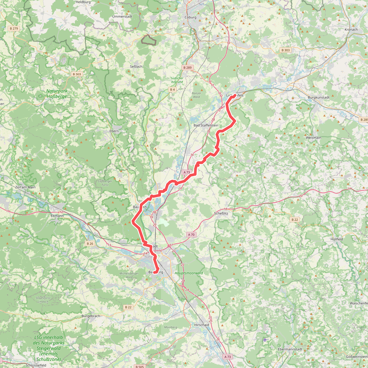
#11. Fränkischer Jakobsweg Lichtenfels-Bamberg

#12. Freiberger Panoramaweg
Untermerzbach,Ebensfeld,Bad Staffelstein,Großheirath




