The best hiking routes in IT4060017 - ZPS - Po di Primaro e Bacini di Traghetto
Discover the best walks in IT4060017 - ZPS - Po di Primaro e Bacini di Traghetto. 3 routes on the map, with descriptions, photos and GPX.
Managed by Provincia di Bologna
About IT4060017 - ZPS - Po di Primaro e Bacini di Traghetto
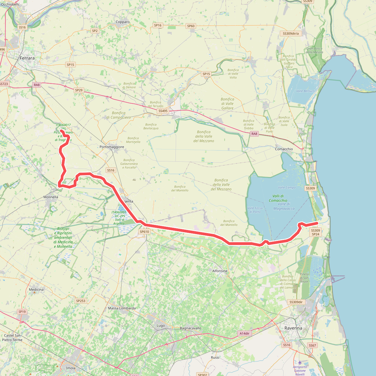
IT4060017 - ZPS - Po di Primaro e Bacini di Traghetto offers a flat, water-dominated landscape shaped by historical land reclamation and river management. Walking here means following the embankments of the ancient Po di Primaro branch and the artificial basins of Traghetto. You will not find hills or deep forests; instead, the terrain is defined by wide drainage canals, reed beds, and shallow water basins designed to manage river floods. The paths are mostly grassy levee banks and dirt tracks that run parallel to the water channels, offering elevated views over the surrounding agricultural plains.
Read more
About IT4060017 - ZPS - Po di Primaro e Bacini di Traghetto
IT4060017 - ZPS - Po di Primaro e Bacini di Traghetto offers a flat, water-dominated landscape shaped by historical land reclamation and river management. Walking here means following the embankments of the ancient Po di Primaro branch and the artificial basins of Traghetto. You will not find hills or deep forests; instead, the terrain is defined by wide drainage canals, reed beds, and shallow water basins designed to manage river floods. The paths are mostly grassy levee banks and dirt tracks that run parallel to the water channels, offering elevated views over the surrounding agricultural plains.
Read moreIT4060017 - ZPS - Po di Primaro e Bacini di Traghetto offers a flat, water-dominated landscape shaped by historical land reclamation and river management. Walking here means following the embankments of the ancient Po di Primaro branch and the artificial basins of Traghetto. You will not find hills or deep forests; instead, the terrain is defined by wide drainage canals, reed beds, and shallow water basins designed to manage river floods. The paths are mostly grassy levee banks and dirt tracks that run parallel to the water channels, offering elevated views over the surrounding agricultural plains.
Underfoot, the tracks consist of packed clay and grass, which can feel heavy and sticky after wet weather. The vegetation is typical of lowland wetlands, with rows of poplars, willows, and dense stands of common reed lining the banks. In late spring, particularly in May, the open water basins are active with nesting waterbirds, making the reed beds lively with sound, while the surrounding fields are intensely farmed.
This area is best suited for those who appreciate structured, engineered water landscapes rather than wild, untamed nature. The straight lines of the canals and the geometric shape of the basins dominate the walk. It is generally a quiet location, used mainly by local anglers and birdwatchers, offering a straightforward walking experience along flat, exposed embankments with no shelter from the elements.