The best hiking routes in ZEC Ordunte KBE
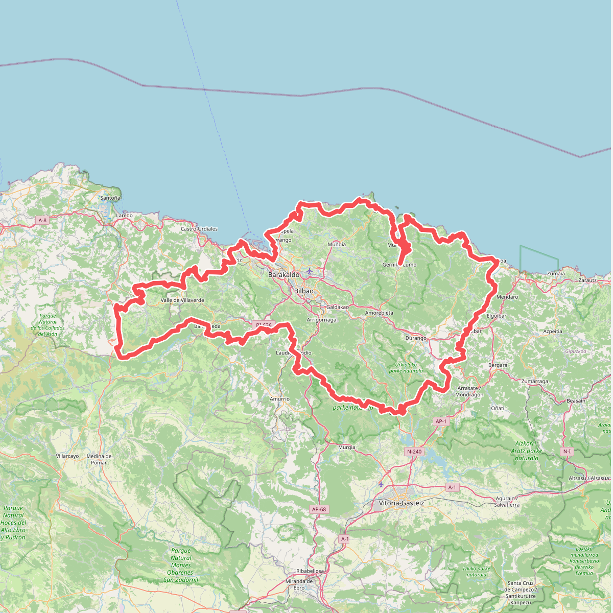
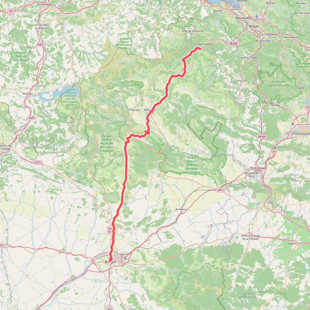
Discover the best walks in ZEC Ordunte KBE. 3 routes on the map, with descriptions, photos and GPX.
About ZEC Ordunte KBE
ZEC Ordunte KBE covers a long, high ridge of sandstone and shale in the northernmost part of Burgos, where the Basque mountains meet the Cantabrian range. Unlike the jagged limestone peaks found further south and west, this area is defined by a continuous, gently rounded crest that rises above deep, forested valleys. The high ground is dominated by extensive blanket bogs and wet heathlands, which are rare in the Iberian Peninsula. Walkers will find a landscape of open pastures, peat bogs, and dense beech forests clinging to the steep northern slopes.
Read more
About ZEC Ordunte KBE
ZEC Ordunte KBE covers a long, high ridge of sandstone and shale in the northernmost part of Burgos, where the Basque mountains meet the Cantabrian range. Unlike the jagged limestone peaks found further south and west, this area is defined by a continuous, gently rounded crest that rises above deep, forested valleys. The high ground is dominated by extensive blanket bogs and wet heathlands, which are rare in the Iberian Peninsula. Walkers will find a landscape of open pastures, peat bogs, and dense beech forests clinging to the steep northern slopes.
Read moreZEC Ordunte KBE covers a long, high ridge of sandstone and shale in the northernmost part of Burgos, where the Basque mountains meet the Cantabrian range. Unlike the jagged limestone peaks found further south and west, this area is defined by a continuous, gently rounded crest that rises above deep, forested valleys. The high ground is dominated by extensive blanket bogs and wet heathlands, which are rare in the Iberian Peninsula. Walkers will find a landscape of open pastures, peat bogs, and dense beech forests clinging to the steep northern slopes.
Underfoot, the terrain varies significantly between the lower slopes and the ridge line. Lower down, you will walk on forestry tracks and clay-heavy paths through oak and beech woods. As you climb toward the crest, the paths transition into rougher, often boggy tracks cutting through heather and gorse. Navigating the highest sections requires attention, as the peat bogs can be saturated, and the trail often fades into open grazing land where marker posts are the primary guide.
This area is best suited for walkers who appreciate quiet, open ridges rather than dramatic rocky climbs. You will not find sheer cliffs or alpine peaks here, but rather a vast, rolling green skyline. In late spring, particularly around May, the high pastures come alive with flowering shrubs and grazing livestock, offering a clear contrast to the dark, dense canopy of the beech forests below.