

The best hiking routes in ZEC Ancares-Courel
Discover the best walks in ZEC Ancares-Courel. 7 routes on the map, with descriptions, photos and GPX.
Managed by Xunta de Galicia
About ZEC Ancares-Courel
ZEC Ancares-Courel offers a rugged, high-altitude walking experience in the eastern mountains of Galicia, characterized by steep slate and limestone slopes, deep-cut river valleys, and ancient deciduous forests. Unlike the flatter coastal areas of the region, the terrain here is defined by sharp elevation changes and glacial valleys. Walkers will notice a distinct transition from dense oak and chestnut woodlands on the lower slopes to open, rocky scrubland and high-altitude peat bogs as they climb toward the ridges.
Read more
About ZEC Ancares-Courel
ZEC Ancares-Courel offers a rugged, high-altitude walking experience in the eastern mountains of Galicia, characterized by steep slate and limestone slopes, deep-cut river valleys, and ancient deciduous forests. Unlike the flatter coastal areas of the region, the terrain here is defined by sharp elevation changes and glacial valleys. Walkers will notice a distinct transition from dense oak and chestnut woodlands on the lower slopes to open, rocky scrubland and high-altitude peat bogs as they climb toward the ridges.
Read moreZEC Ancares-Courel offers a rugged, high-altitude walking experience in the eastern mountains of Galicia, characterized by steep slate and limestone slopes, deep-cut river valleys, and ancient deciduous forests. Unlike the flatter coastal areas of the region, the terrain here is defined by sharp elevation changes and glacial valleys. Walkers will notice a distinct transition from dense oak and chestnut woodlands on the lower slopes to open, rocky scrubland and high-altitude peat bogs as they climb toward the ridges.
Underfoot, the paths vary from stony, uneven mountain tracks and old agricultural stone paths to soft forest soil covered in leaf litter. The geology is visible directly on the trail, with dark slate fragments and pale limestone outcrops shifting underfoot depending on the valley. In the higher zones, the paths cross open heathland dominated by heather and gorse, where the route can become less defined and requires careful navigation.
This is a demanding landscape for walkers who prefer steep climbs and quiet, forested valleys over gentle rolling hills or coastal paths. While the lower valleys feature traditional stone villages and shaded canopy walks, the higher ridges are exposed and rocky. The area is best suited for those seeking long, physically challenging ascents through a working rural landscape where traditional pastoral forestry still shapes the vegetation.
Hiking routes in ZEC Ancares-Courel (7)

#1. Camiño do Ferradal
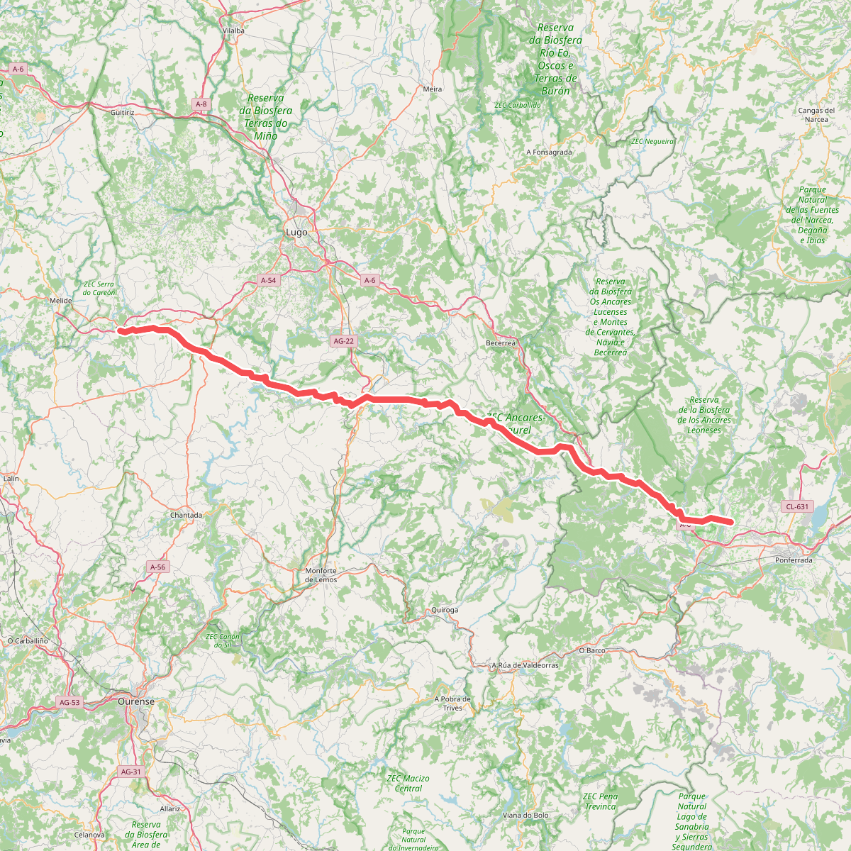
#2. Camino Francés - 07 Cacabelos a Palas de Rei

#3. Camino Natural de la Mirada Circular: Ancares Leoneses de Guímara a Balboa

#4. Ruta da Devesa da Rogueira

#5. Ruta da Lagoa da Lucenza

#6. Ruta do Monte Cido





