The best hiking routes in Veisiejų regioninis parkas
Discover the best walks in Veisiejų regioninis parkas. 3 routes on the map, with descriptions, photos and GPX.
About Veisiejų regioninis parkas
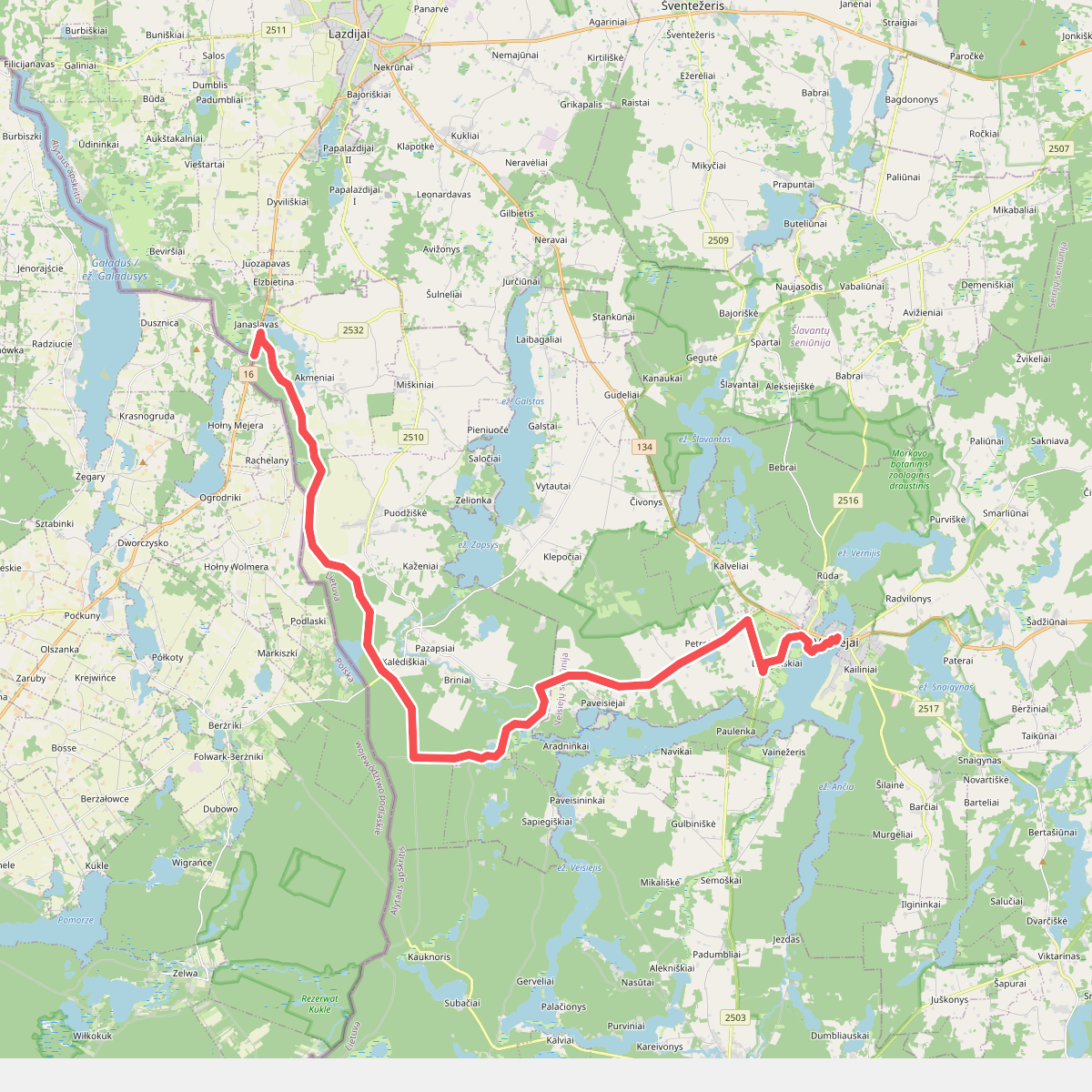
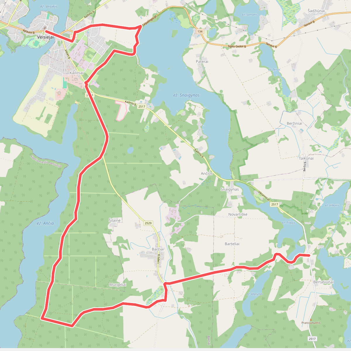
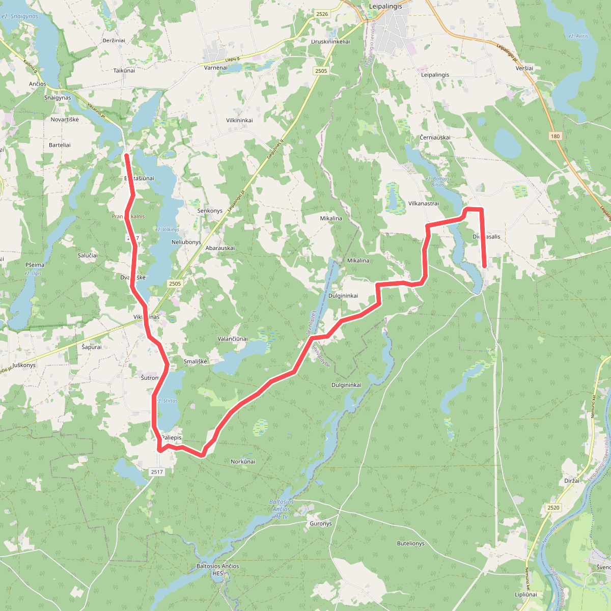
Veisiejų regioninis parkas, situated in the southern part of Lithuania, is characterized by a dense network of glacial lakes and rolling moraine hills. Unlike the flat plains found in other parts of the country, this landscape is defined by its undulating terrain, where deep lake basins sit directly beneath steep, pine-covered ridges. Walkers will find a mix of dry pine forests growing on sandy soils and damp, peat-filled hollows near the water edges. The area is dominated by the massive, multi-branched Lake Anćia, which shapes the trail network in the central sector of the park.
Read more
About Veisiejų regioninis parkas
Veisiejų regioninis parkas, situated in the southern part of Lithuania, is characterized by a dense network of glacial lakes and rolling moraine hills. Unlike the flat plains found in other parts of the country, this landscape is defined by its undulating terrain, where deep lake basins sit directly beneath steep, pine-covered ridges. Walkers will find a mix of dry pine forests growing on sandy soils and damp, peat-filled hollows near the water edges. The area is dominated by the massive, multi-branched Lake Anćia, which shapes the trail network in the central sector of the park.
Read moreVeisiejų regioninis parkas, situated in the southern part of Lithuania, is characterized by a dense network of glacial lakes and rolling moraine hills. Unlike the flat plains found in other parts of the country, this landscape is defined by its undulating terrain, where deep lake basins sit directly beneath steep, pine-covered ridges. Walkers will find a mix of dry pine forests growing on sandy soils and damp, peat-filled hollows near the water edges. The area is dominated by the massive, multi-branched Lake Anćia, which shapes the trail network in the central sector of the park.
Underfoot, the paths vary from soft pine-needle carpets and loose sand on the ridge tops to damp earth and occasional wooden boardwalks near the marshy lake margins. The terrain is gently rolling rather than mountainous, offering short, steep climbs up moraine ridges rather than long ascents. Because the park contains over thirty lakes, water is a constant presence, often visible through the thin trunks of the pine trees. In late spring, around May, the boggy margins of the smaller, landlocked lakes show distinct communities of wetland plants that contrast sharply with the dry lichen carpets of the high pine forests.
This park is best suited for those who prefer labyrinthine lake landscapes and quiet forest walking over wide, open views. The trails here wind closely around the irregular shorelines, meaning route navigation requires attention to the water bodies. While the areas immediately surrounding the town of Veisiejai and the main lakeside campsites see regular local use, the deeper forest tracks toward the southern border remain quiet and primarily agricultural or forestry roads.